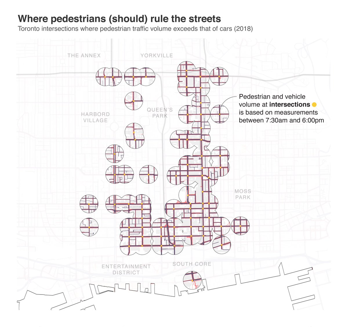
1/6...This week we're comparing traffic volume to the area dedicated to each mode. In the map below you'll see all the intersections where pedestrian traffic is greater than vehicles.
#TorontoAtlas @Walk_TO #walkTO

Traffic Volume: open.toronto.ca/dataset/traffi…
Road Area: open.toronto.ca/dataset/topogr…
Sidewalk Area: open.toronto.ca/dataset/topogr…
Note: Buffers around intersections in maps 1/2 are 150m. In map 4, "Typical Toronto Street" assumes 2.1m sidewalk and 3m lanes.


