I've decided I'm going to drive from Seattle to NYC on Google Streetview. Have been considering this since quarantine began, but am now finally biting the bullet. Trying to get in 30-60 mins a day until I reach. Will post periodic updates here. Here's my starting point: 

New rule: I will not drive on the correct side of the interstate...ever, if I can avoid it.

One of my highway design pet peeves: exits to nowhere _with duplicates_! Not that this is a Q that is seen as meriting an answer in general, but why do you need the exit in the black box when its connectivity is duplicated just to the east and west & it barely touches anything!?

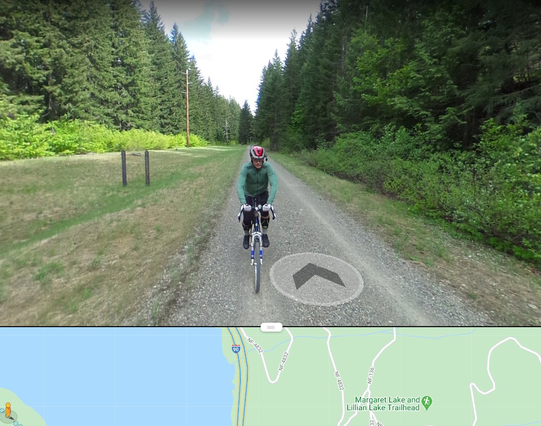
Someone put photo spheres all along the abandoned Milwaukee Road ROW over Snoqualmie so am gonna follow these for a while...

folks,,,,,,,,we have crested the cascades

inside the tunnel. this line used to be electrified.

Done for today. Did about 56 miles, not including a detour through Mercer Island.

Day 2, moments before a head-on bike collision
You could write a whole book on the wide variations in American highway overpasses

just hate it when you run into a patch of ancient imagery
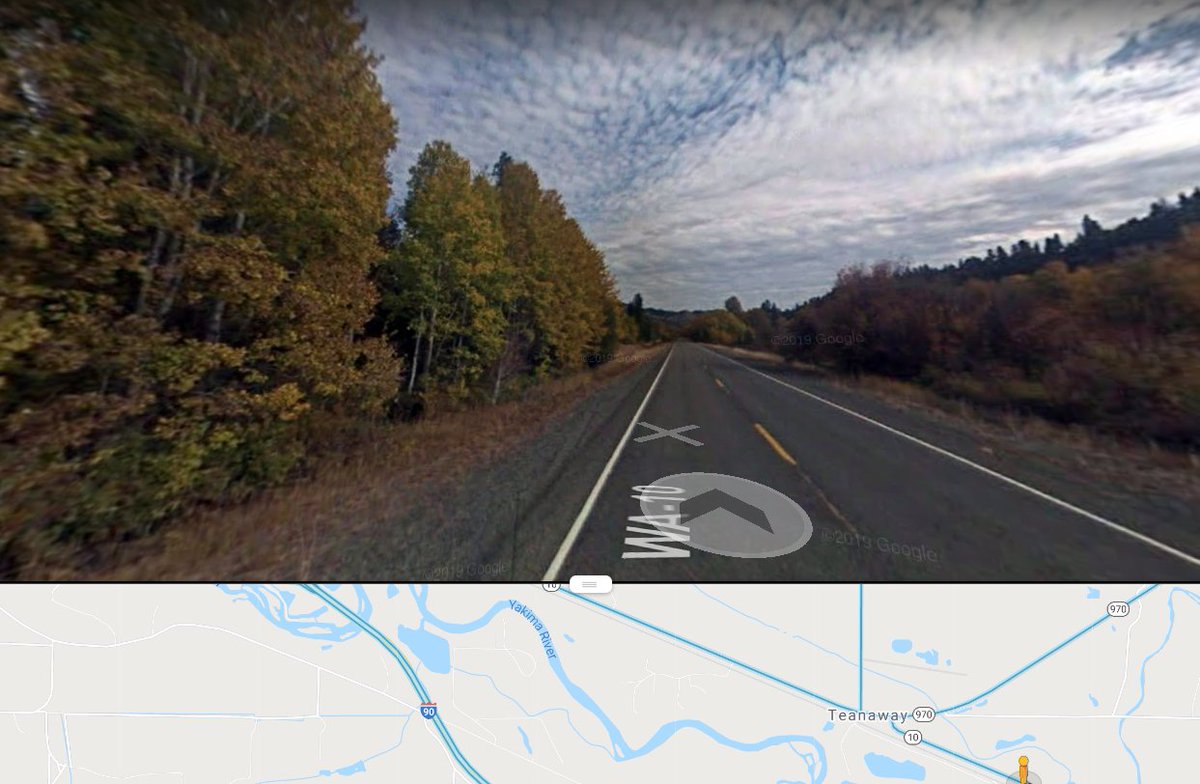
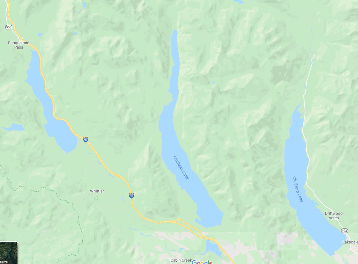
The Yakima Valley is really quite pretty. It's a big producer of fruit/vegetables too -- though only thanks to a Bureau of Rec irrigation scheme, fed primarily by these three lakes

The ex-Milwaukee, again

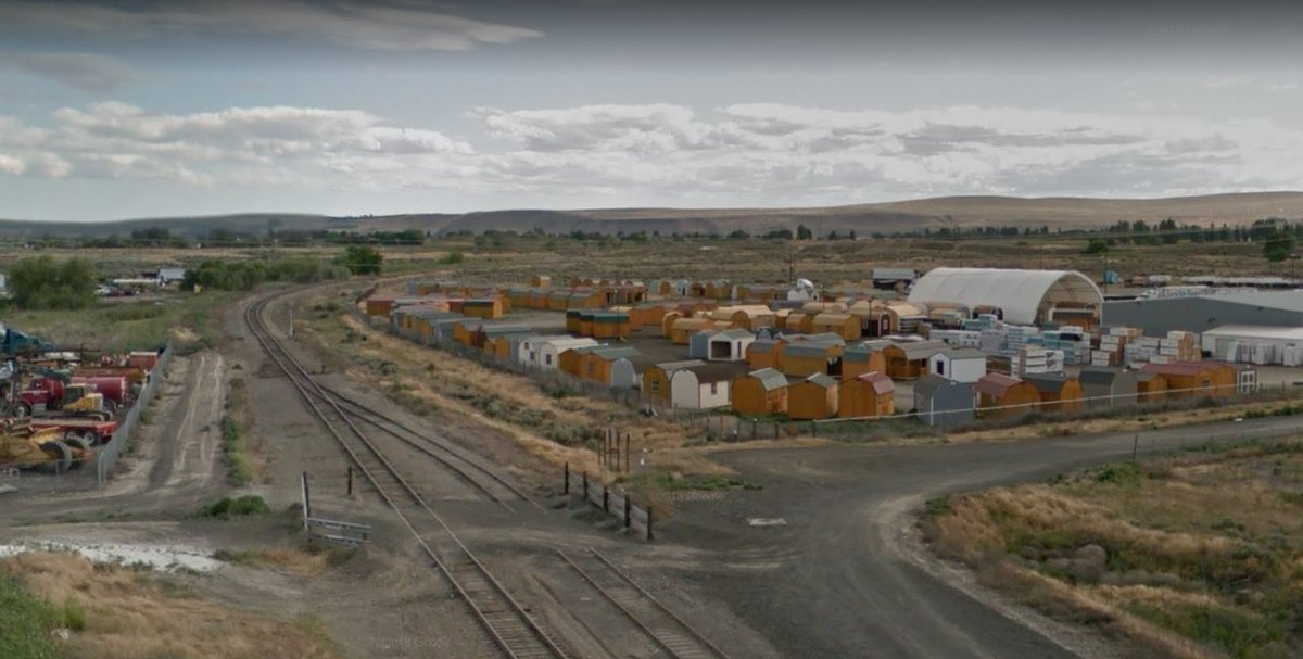
A refrigerated food warehouse in Ellensburg, WA, feat. a huge pile of pallets. Much like the container, the standardization imparted by the pallet played a huge role in shaping/facilitating modern supply chains

1:1 garage:house ratio in Kittitas, WA. Good rural transit is important, if only to make this sort of thing not a necessary precondition of living in small towns.

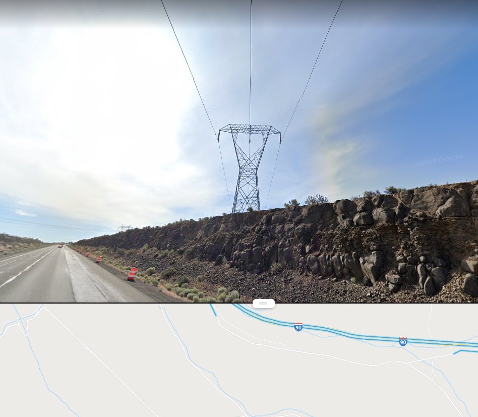
I think it's fair to say that the west's geography of electric power is at least as important in understanding its development as are its roads
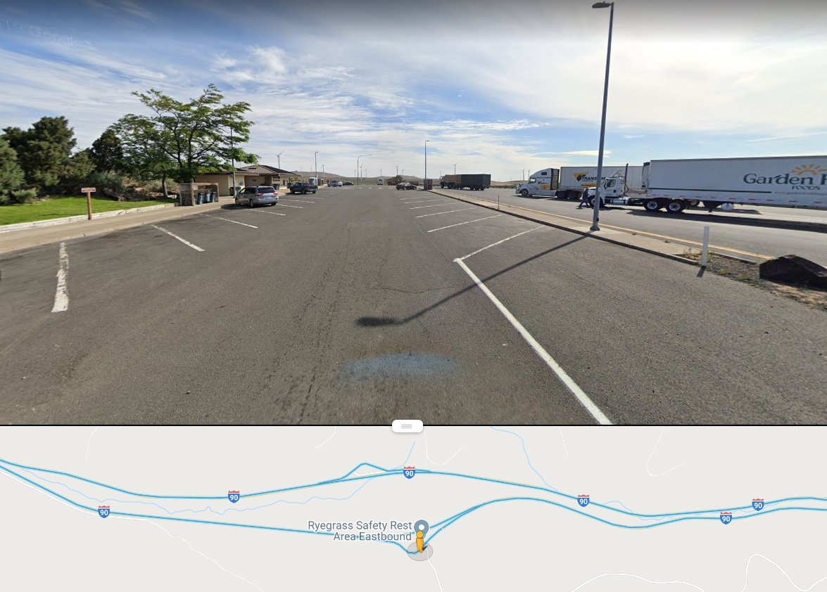
I know highway engineers (rightfully) hate left exists, but the way that distaste frequently forces duplication of rest area infrastructure is something that's always bothered me
The Columbia! One of the largest (by flow) and most heavily dammed rivers in the US; probably the central part of that complex western energy geography.

That there were serious proposals to divert some of the Columbia's water to California to sate the Central Valley's unquenchable thirst tells you a lot of what you need know about this basin/hydro politics and development in the West.
It's fascinating, complicated and extremely fraught stuff, whether that be from the perspective of emissions, sustainability, river navigation, species protection, indigenous rights, rural/urban use + payment divides or otherwise.
Leaving I-90. Do not plan to rejoin until Montana.

In one of the west's countless artificial oases, whose water rates are subsidized >>50% by non-agricultural water consumers and the entire system's power users.

(to be clear, I don't think subsidized goods are inherently good/bad/otherwise, but these water rebates are part of a much larger system of confused agricultural and hydrological incentives in the US whose social/enviro impacts have been frequently demonstrated to be negative.)
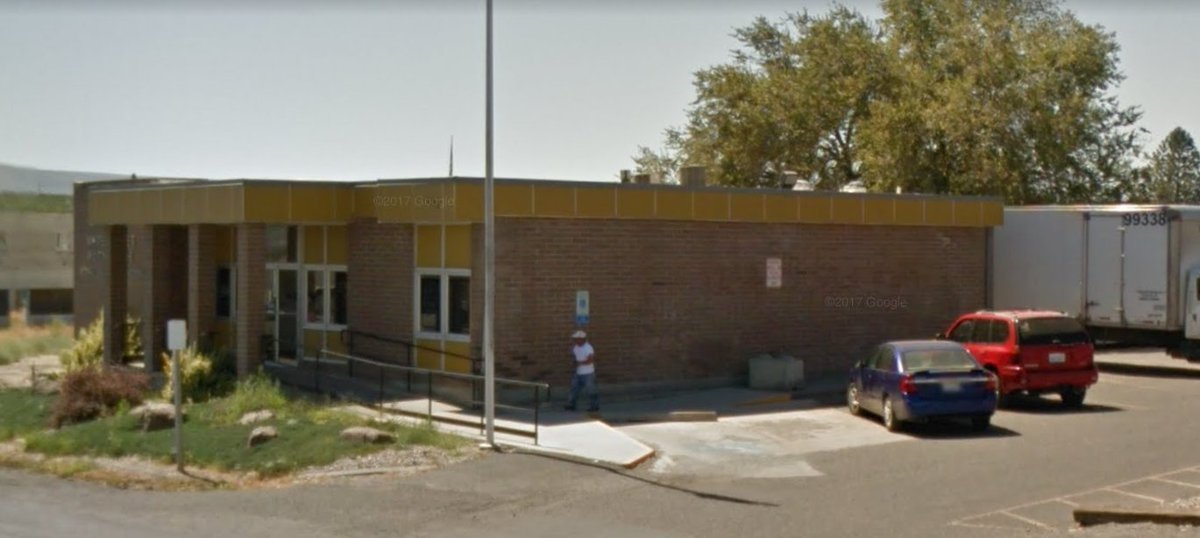
A nice midcentury post office in Royal City, WA


I ♥️ arid shrubbery

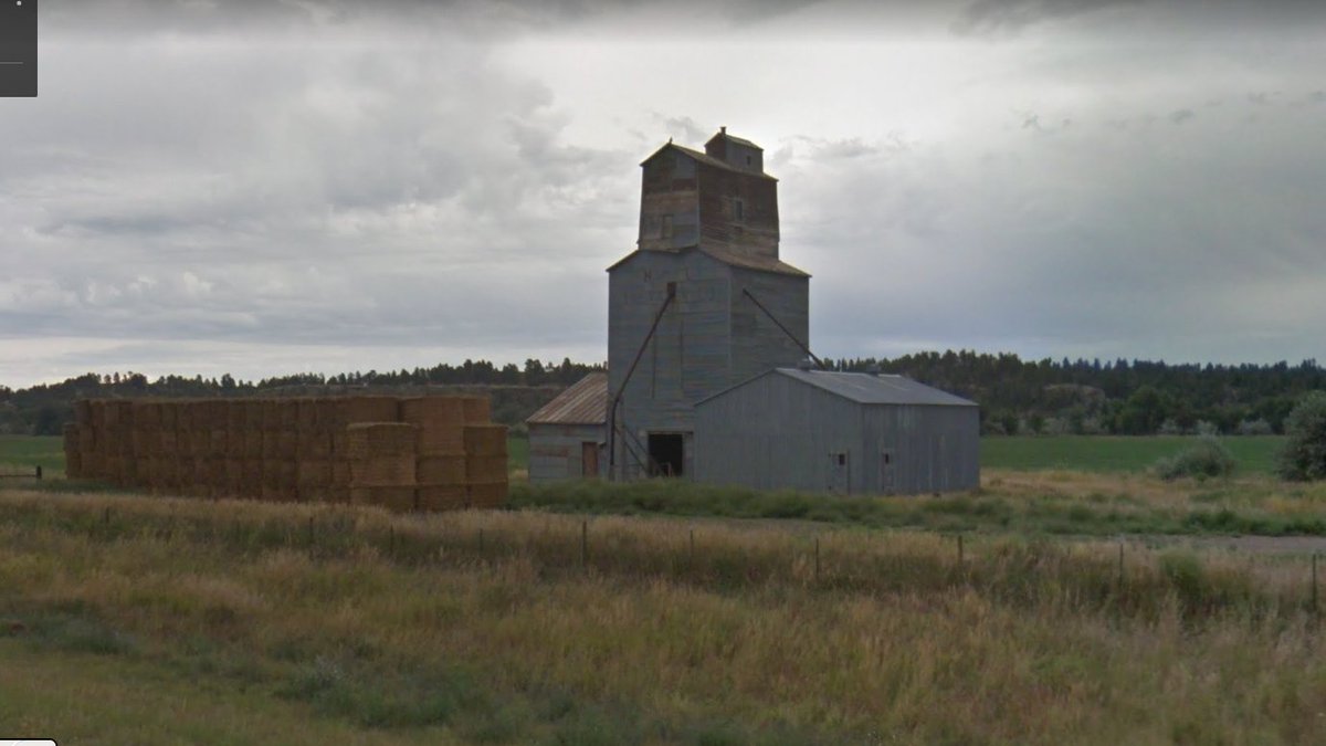
I also ♥️ grain elevators

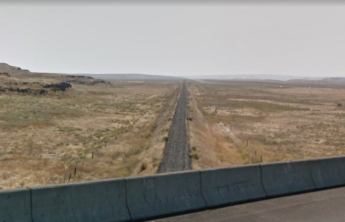
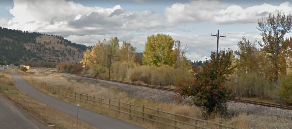
Crossing over the remains of the SP&S main near Washtucna WA. Abandoned in...1989?
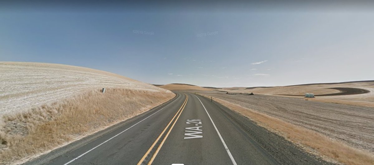
Now firmly in the Palouse region, a geologically fascinating area whose sculpted rolling hills were formed from windblown silt. Really want to visit here IRL one day.
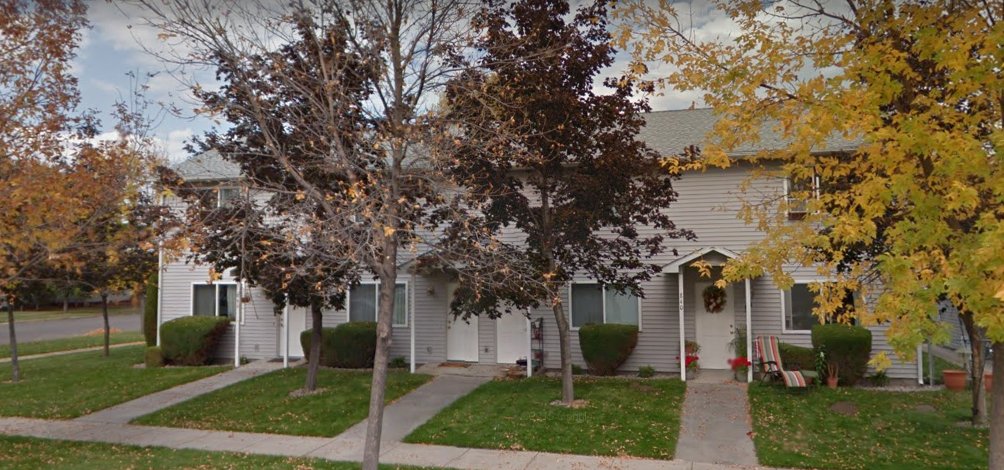
Beating a dead horse here, but it's a tragedy (and a real problem!) that this sort of small town urbanism is now illegal in a lot of places.

South of Pullman, WA

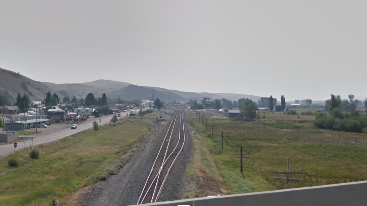
Lewiston! The hub of this portion of the Palouse region, and the head of navigation on the Snake River.
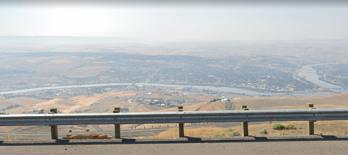
Pretty sure the bridge I'm on _is_ the head of navigation. Don't think a barge would fit under it.

Worth noting that the Port of Lewiston wasn't a port until 1975; slack water this far up the river is a relatively recent development (with a fascinating and fraught history). Unsurprisingly, the low freight rates offered by barges sealed the fates of many area rail lines.
^^late night brain: the river in the image above is the clearwater, not the snake. So not the head of navigation on the _snake_.
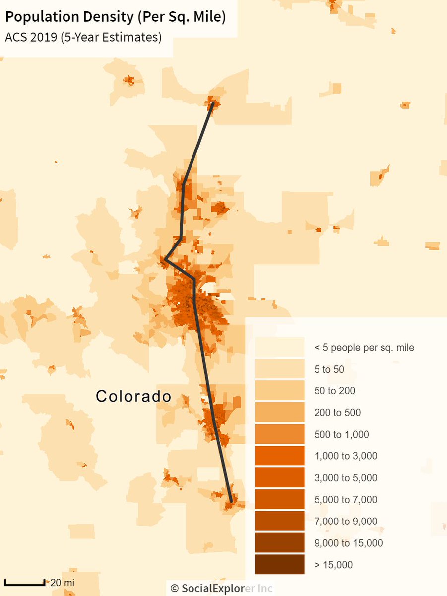
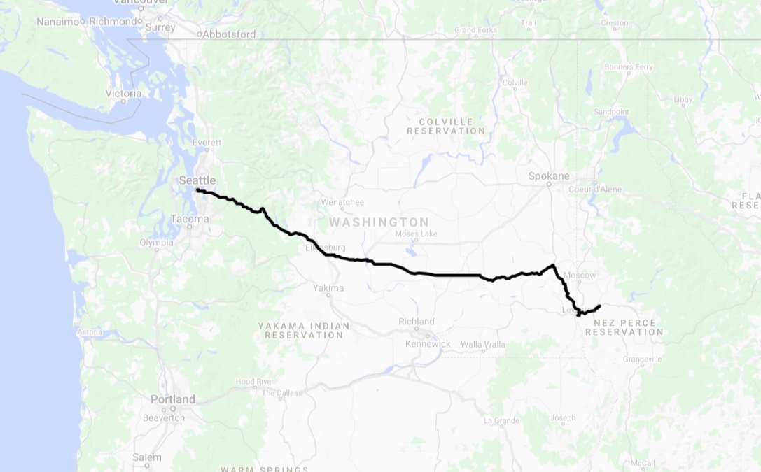
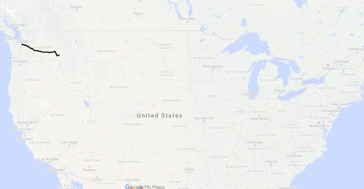
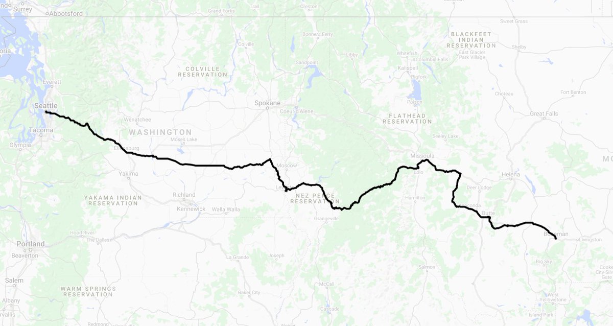
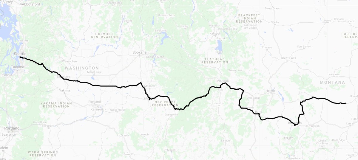
Here's where we stand in terms of overall progress as of now:
A shame that Maps' imagery of the Clearwater Valley is so bad. Area is quite pretty.

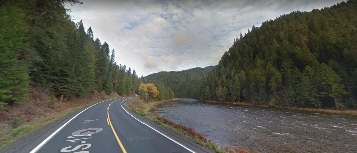
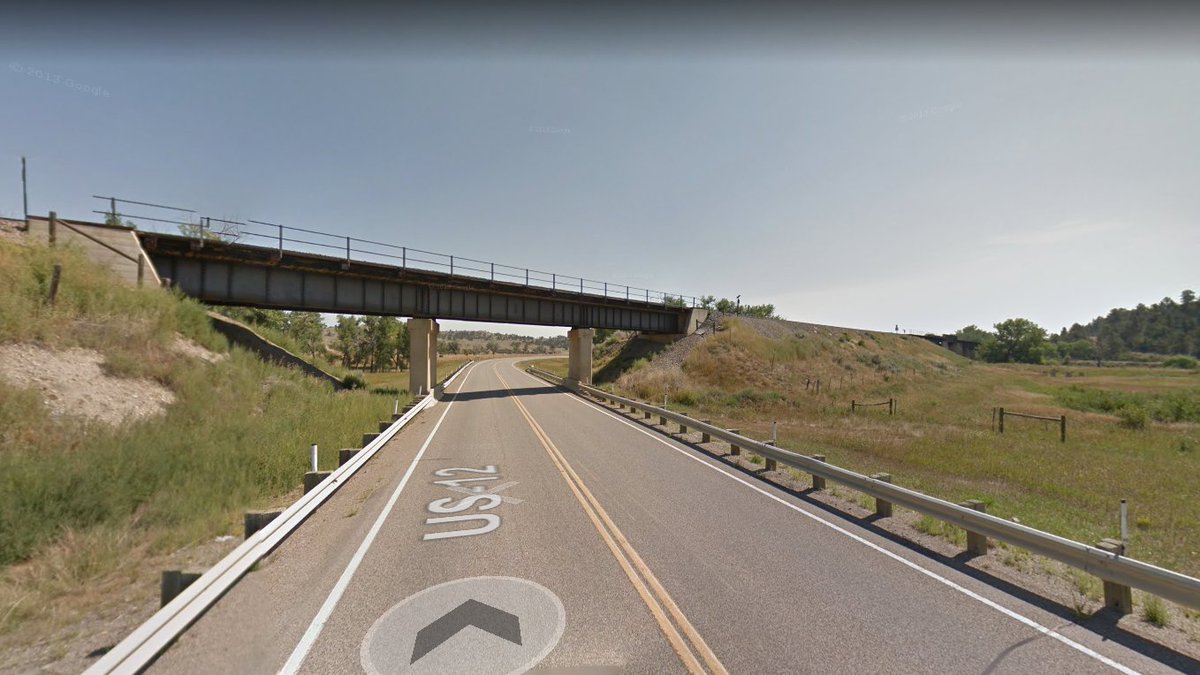
Fun lil bridge near Kooskia, ID

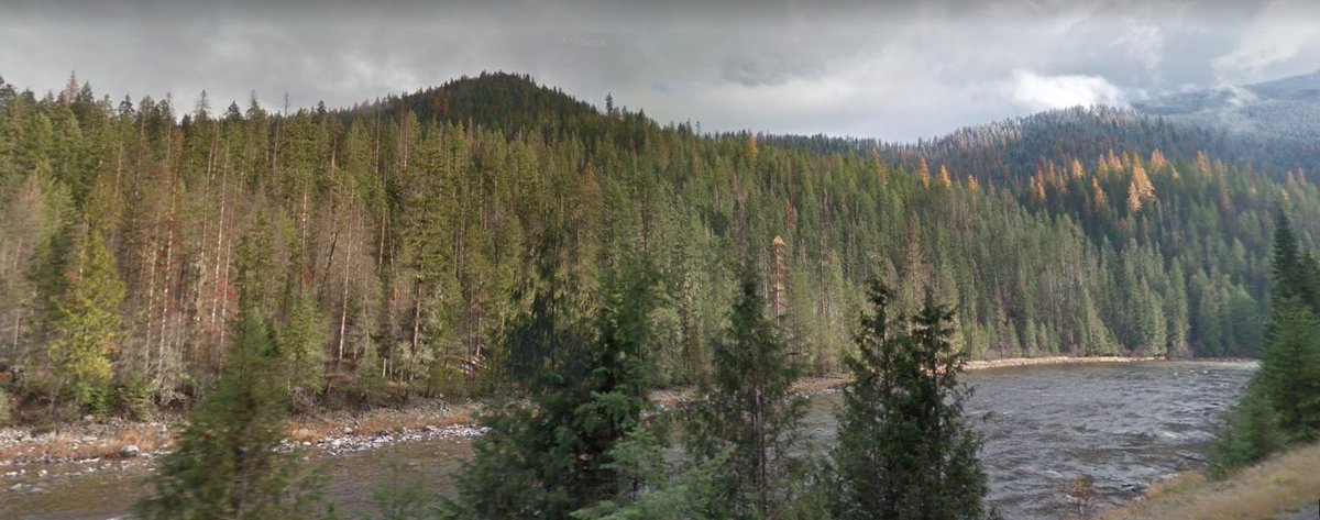
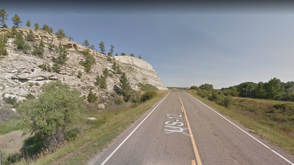
Gonna be following US-12 and the Lochsa River through this lovely valley to Lolo Pass today. Thus far, very little scenic variation, though it's damn pretty.
What looks like a stand of beetle casualties:

(also, I realized there was a request I make a hashtag for this that I never followed up on...how's #SEANYC)
More beetle casualties. These sorts of outbreaks aren't new to the region's pine forests, but climate change is making them much, much worse by reducing the duration of beetle-killing frost and more frequently stressing trees with droughts.
ah, yes, SNOW, that cold powdery stuff we used to get in NYC, once upon a time #SEANYC

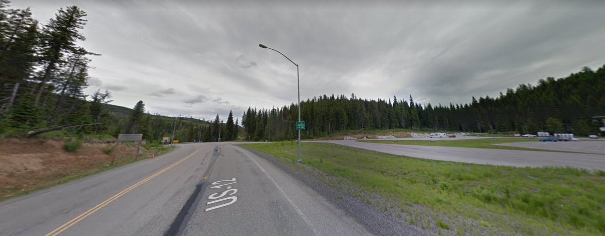
Lolo Pass, route of a Nez Perce trail that once linked the Kamiah Valley with Montana and the Plains. This was the route that Lewis/Clark used to cross the Bitteroots, and was followed by the Nez Perce who made an unsuccessful fighting retreat towards the Crow and Canada in 1877.
After their surrender, and despite promises of a return to Idaho, the survivors were sent to live near Fort Leavenworth in Kansas. The order that directed them to be sent to Kansas rather than Idaho was made by none other than Gen Sherman.
(speaking of the...complex legacies many Union Civil War figures have)
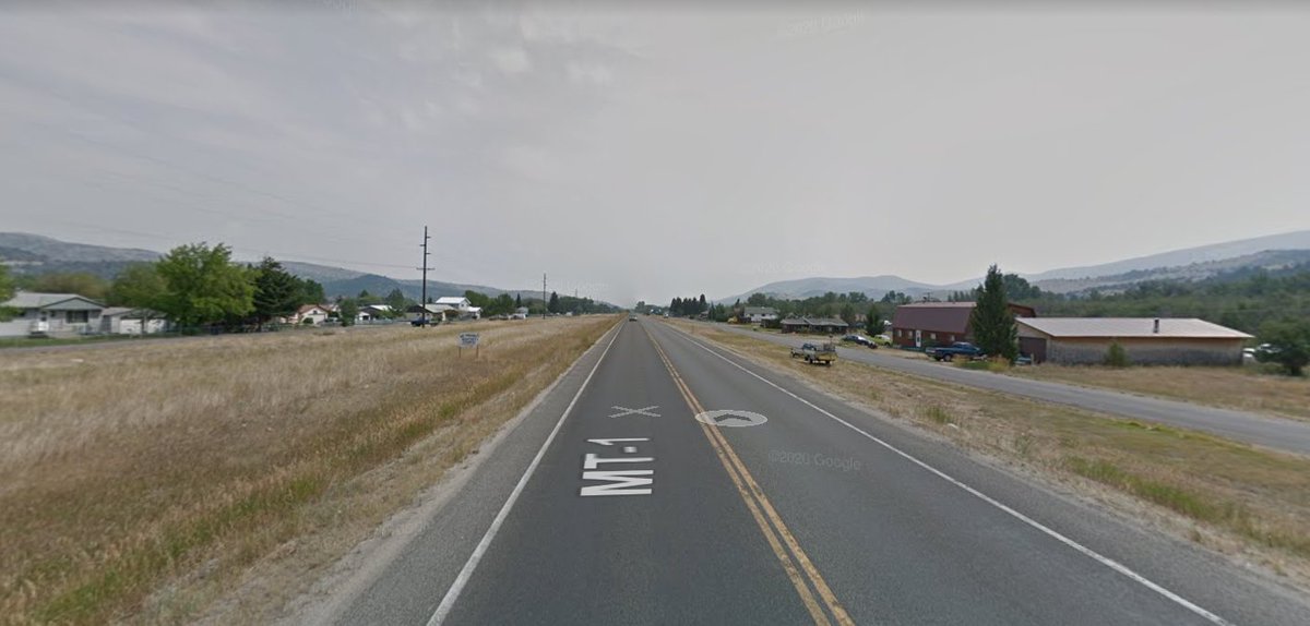
Lolo, MT. Heading north towards Missoula now.

MRL's 9th Sub, aka the Bitterroot Branch. Aside from one short span of service in 2012, has only been used for car storage since...2004? #SEANYC
Obviously economic forces (lumber mill closures especially) have worked against them, but I must say MRL has mothballed a ton of trackage for a shortline.
Kind of loving the angled grids here in Missoula. #SEANYC

A neat little quadriplex #SEANYC
"why not both?"
Back on I-90, very temporarily.

Drummond MT, looking east over the NP (now MRL).
The Milwaukee was here. #SEANYC

Another mothballed MRL branch. This one goes to Phillipsburg MT, and hasn't seen a train since 1983, IIRC.
Progress update #SEANYC


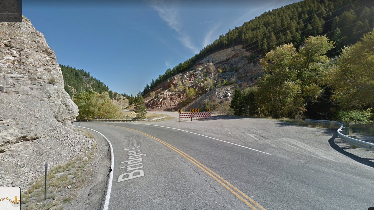
This road is an honestly impressive piece of civil engineering. #SEANYC

I've now descended into the Summit Valley in Montana home to Anaconda and Butte. This valley has the dubious distinction of being home to the largest collection of Superfund sites -- by land area, if not by material in need of remediation -- in the country. #SEANYC

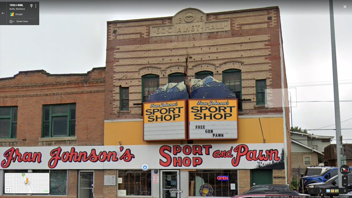
Anaconda, MT. Among other things, this town was the cradle of socialism in the west, being the first to elect socialists west of the Mississippi.
Socialism played a moderately important role in Montana until WW1 (a socialist congressional candidate won like 10% of the vote one year), when state and federal laws all but abolished the party.
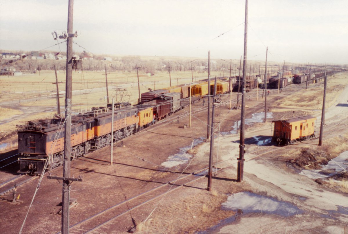
The one time roundhouse of the Butte, Anaconda and Pacific Railway, an electrified interurban/industrial railroad that connected its eponymous cities and their mines/smelters. The property lives on today as the Rarus Railway. #SEANYC


Per my google search just now, Rarus' name was actually changed back to BA&P by Patriot Rail when they bought it in '07.
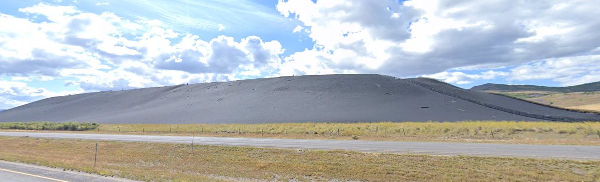
Slag pile @ the old smelter in Anaconda. I believe there's a company making abrasives out of this now -- which follows a trend of modern day reuse of 19th/early-mid 20th c mine tailings given how much material was frequently left in them
Not much is left of the smelter, but the stack still stands. This is the thing that spread pollution (arsenic especially) all over the valley below. #SEANYC

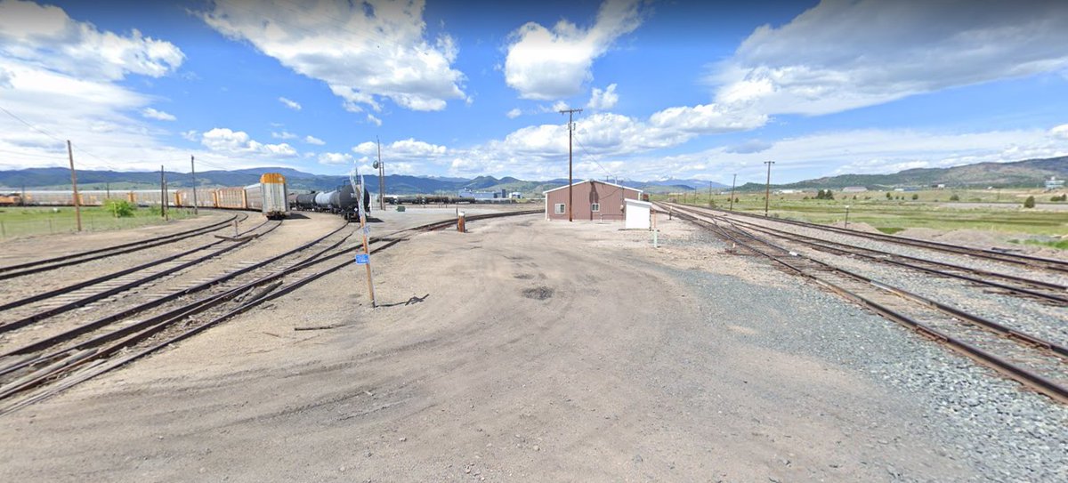
Silver Bow, the end of Union Pacific's obscure (and lightly used) route into Montana. Interchange used to be btwn Milwaukee/Union Pacific/Northern Pacific/BAP, now it's UP/BNSF/BAP. This also may be the most rural auto terminal...anywhere? #SEANYC
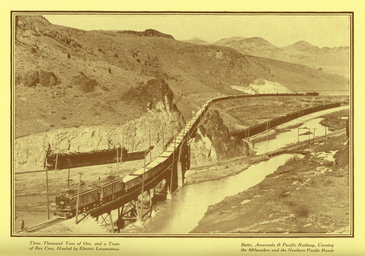
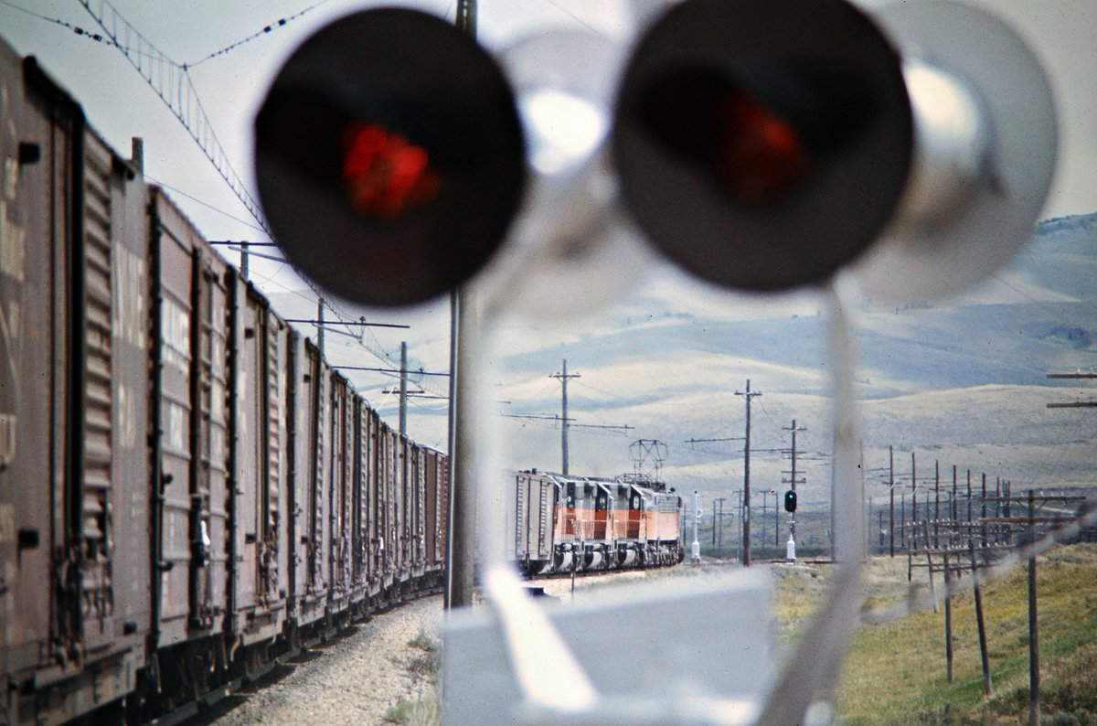
The canyon just to the east of here is, AFAIK, the only place outside of the Northeast Corridor where electrified lines of two different national network RRs crossed -- the two being the Milwaukee and the above-mentioned Butte Anaconda & Pacific. Pic from flickr.com/photos/buttepu…
I am HERE for this truss bridge

Berkeley Pit! The mine that fully swallowed (by plan, not by accident) parts of Butte. Also a big superfund site.

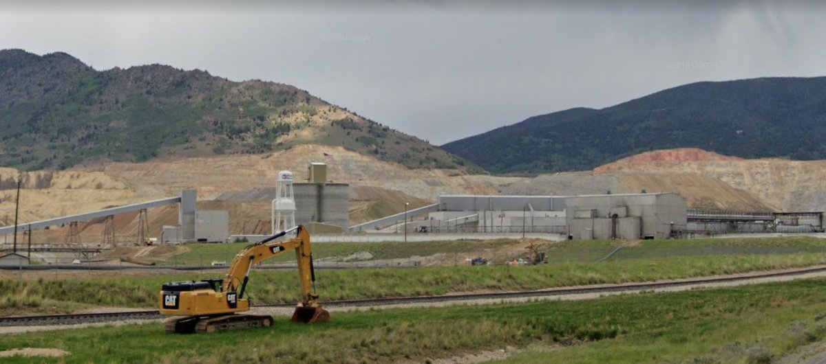
Butte still has an operational copper processing outfit:
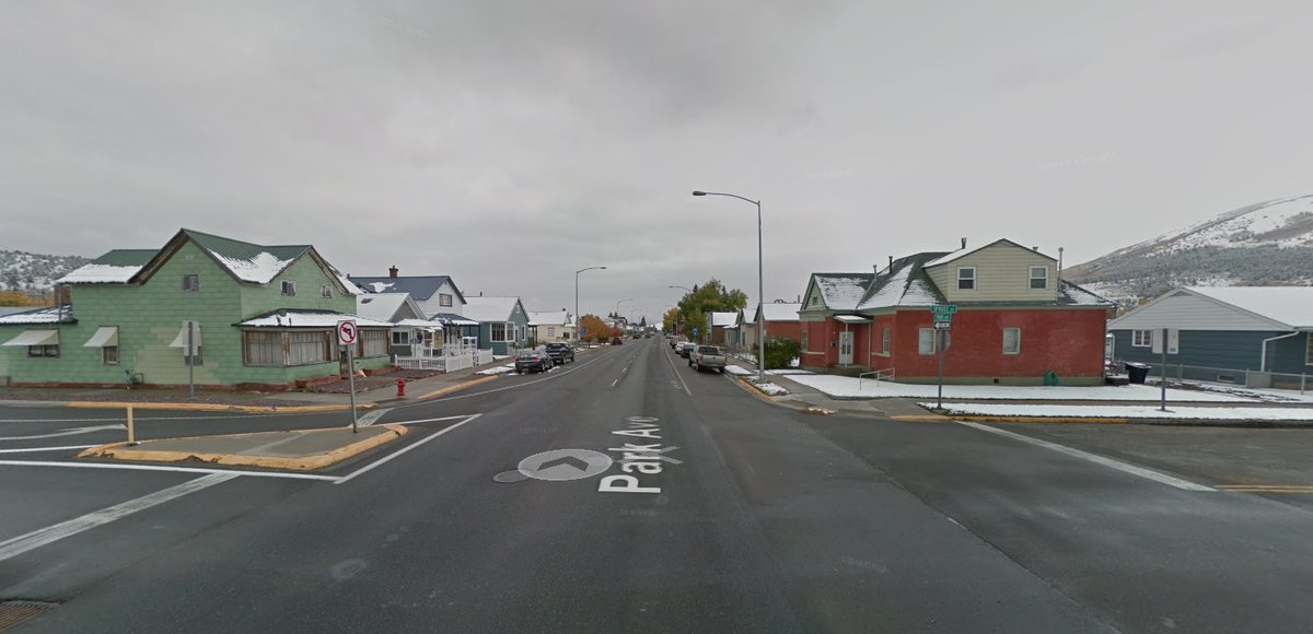
Butte's short lived Socialist Party Hall #SEANYC
Broke: Homestake Pass
Woke: Mullan Pass
Bespoke: Pipestone Pass
Woke: Mullan Pass
Bespoke: Pipestone Pass

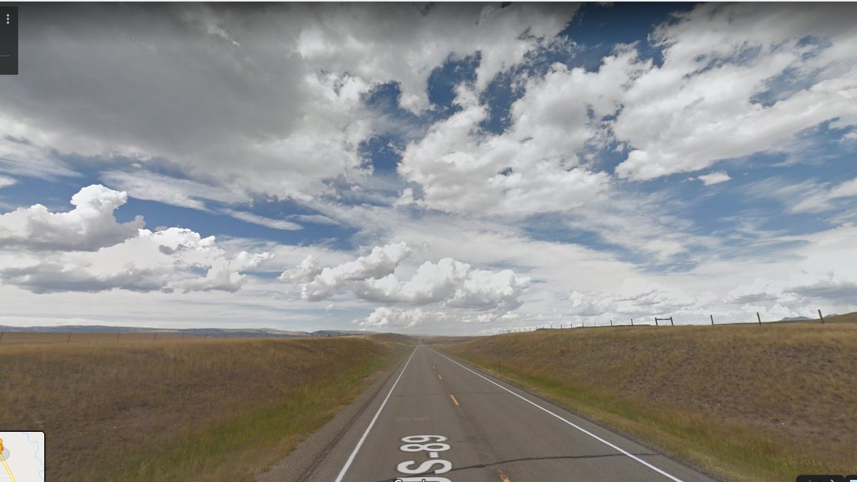
Only a few miles downhill from Pipestone, and already the landscape is arid. Crazy how fast these climatic transitions take place.

The emptiness of many rural interstates should drive home to everyone that the system is, first and foremost, a vehicle for intraregional travel. These are suburban infrastructures. #SEANYC

triple trailers! #SEANYC

I wish trucking efficiency fixes like this were safer. But they aren't. Longer/heavier trucks are nontrivially more likely to get in crashes. #SEANYC
Bozeman, MT #SEANYC

Progress...

Back into the Mountains. Heading north from Bozeman
You know what's the absolute worst? When you click in front of yourself on streetview, but maps somehow decides you actually wanted to go backwards. #SEANYC

"big sky" #SEANYC
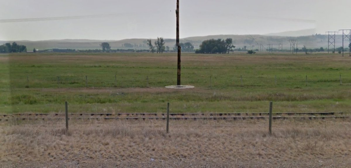
An abandoned Milwaukee RR substation in Loweth, MT. #SEANYC

...and some photos of Loweth when the railroad was still alive.
This collection of images is generally worth a look, especially if you -- like me -- are inclined to fall down abandoned RR rabbit holes:
railphoto-art.org/collections/bj…!
This collection of images is generally worth a look, especially if you -- like me -- are inclined to fall down abandoned RR rabbit holes:
railphoto-art.org/collections/bj…!


Emptiness east of Loweth. #SEANYC

Among other reasons, it was this very lack of settlement that caused the downfall of the Milwaukee's Pacific Extension (the line in all the photos upthread). It was the last transcon and a transcon very focused on having a well-engineered route, so it missed tons of population.
That's okay if you win lots of bridge traffic, but it wasn't terribly successful at that either (its route ended up being worse on a number of axes than those of competitors).
The SP&S btwn Pasco and Spokane in Washington (see below) is a similar-ish story -- well profiled route with little online traffic getting abandoned in favor of a worse engineered, but more traffic dense alternative (the ex-Northern Pacific) #SEANYC
https://twitter.com/A320Lga/status/1275208563489718272?s=20
Perpetually amused by the disconnect by the frequent climate denialism from many Midwestern reps and the fact that their states are, in many cases, the leaders in renewable generation growth

^Midwestern and Plains States reps
1972 => 2013 in Harlowton MT

This town once was the eastern end of the Milwaukee's electrification #SEANYC
wow I cannot type tonight. the disconnect *between* the frequent climate denialism etc
Fun fact: just as in real life, Streetview is faster downhill. Downslopes make it easier to click far ahead. #SEANYC
Passing under BNSF's Laurel Sub, their route between Laurel MT (just W of Billings), Great Falls, and the Hi Line at Shelby. Gets a few trains a day. #SEANYC
f l a t #SEANYC

Progress #SEANYC

Getting into the heart of ~limestone country~
Roundup, MT. The name is (unsurprisingly) derived from rounding up cattle. The town lies a few miles north of a coal field and an active coal mine, whose Bureau of Land Managment-backed expansion has been the subject of litigation for years now. #SEANYC

There was a Russia angle on this, IIRC -- Putin supposedly owns a good bit of the holding company which controls the mine?
Broke: culvert
Woke:
Woke:

😍 #SEANYC
I kinda love this Melstone Montana-themed (school?) bus.

lol it's a truck carrying those things they put on the bottom of traffic barrels #SEANYC

I saw a prairie thunderstorm IRL once. Top 10 most coolest/most memorable experiences. #SEANYC

• • •
Missing some Tweet in this thread? You can try to
force a refresh