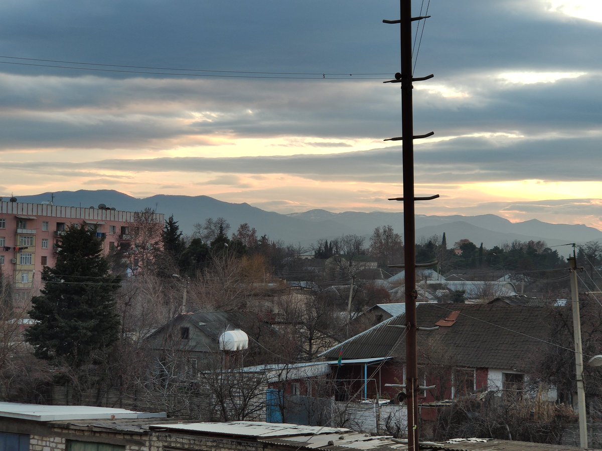
Besides the conflict between Azerbaijan-Armenia in Nagorno Karabakh, Azerbaijan has areas occupied by directly the Republic of Armenia, in Gazakh district - where I grew up for 18 years and my family also lives now. This story was not discussed during 44 days. 

Gazakh has 168 km border line with Armenia, ~100k population in total, of which 20k live in the city, 80k in villages.
The occupation began as early as in 1990 March, nearly 2 years before Armenia started occupation in Karabakh.
The occupation began as early as in 1990 March, nearly 2 years before Armenia started occupation in Karabakh.

In 1990/03, Bağanıs Ayrım, a village totally populated by 600 Azerbaijanis was attacked by Armenian militias in bandit groups. As it was during the SSR time, they easily siezed it as it was not defended and burnt whole village as soon as they entered. A family was burnt alive too
They occupied it in order to cut Ijevan-Noyemberyan road(which was functional and there was no problem for movement on it). It's the first occupied territory. Till 1992, low level of clashes and terrorist attacks took place to Azerbaijani cars travelling to exclave villages.
Next occupation wave happened in 1992. During the March, April, June, 6 villages were occupied.
2 of them, Barxudarlı and Sofulu are in exclave and they were under siege for 4 days. To cut connection with Gazakh, railway to Ijevan was blown up. 230 houses were burnt immediately

2 of them, Barxudarlı and Sofulu are in exclave and they were under siege for 4 days. To cut connection with Gazakh, railway to Ijevan was blown up. 230 houses were burnt immediately


The last village occupied by Armenians was Aşağı Əskipara. Again when entering villages defended only by few local police forces (Милиция), they burnt it, including a house with some people sheltering inside. So forcing people to leave the village. 

As a result of occupation, more than 7000 people from 7 villages were displaced, 285 KIA fighting. Then Armenian advancement was stopped and war was transferred fully to Karabakh.
Below map is mine.
Below map is mine.

Until the war, there was very high level of trade between Gazakh and Ijevan. Trains going to Yerevan was passing through here. Azerbaijanis were selling their crops in Armenia and Armenian construction workers were famous in Gazakh area.
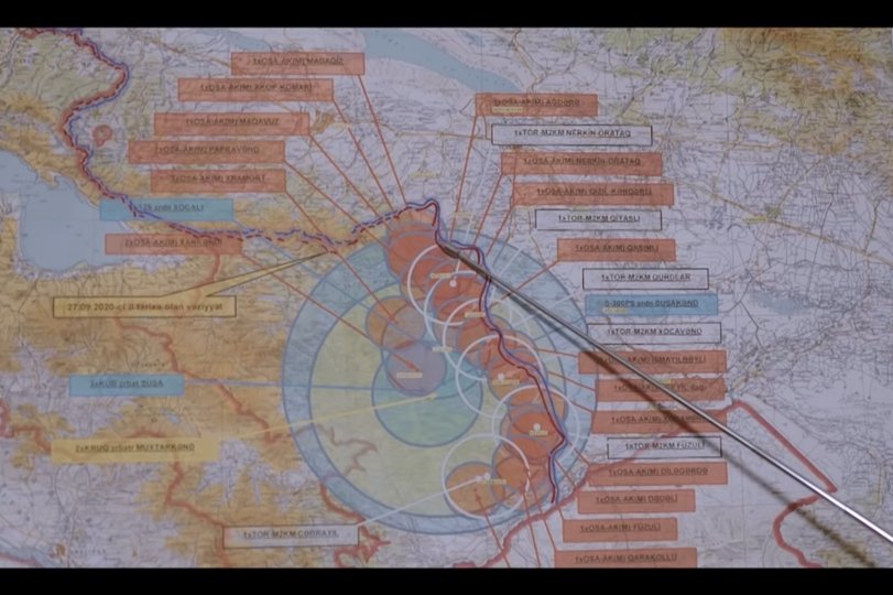
A few years ago Azerbaijan fully withdrew Army from the this front and deployed Border Guards, to show that it has no military target outside the state borders. Although all defense structure was created precautionary, war did not transfer here during 44 days.
Otherwise constant shelling from heights 9km from the city center, all controlled by RA forces, would destroy the city until they were recaptured.
In my childhood I spent my summers playing on barrel of a T-72 hidden in its position. We were playing behind howitzers.
In my childhood I spent my summers playing on barrel of a T-72 hidden in its position. We were playing behind howitzers.

Lastly, during the 28 years, the worst happened in 2014 August, where clashes happened in Gazakh direction, both sides lost more than 10 servicemen. Other than that, ceasfire was observed, with occasional light-machine gun fires.
Leaked version of 10 November deal included the Gazakh's occupied areas, but the signed statement missed it. Despite the rumors around withdrawal from there, it seems this area will remain unresolved and be a time bomb again.
Video of aftermath of burning the village of Bağanıs Ayrım, including those families who were locked to the house and burnt together with the house.
This is not a propaganda, rather just informative thread without added emotions.
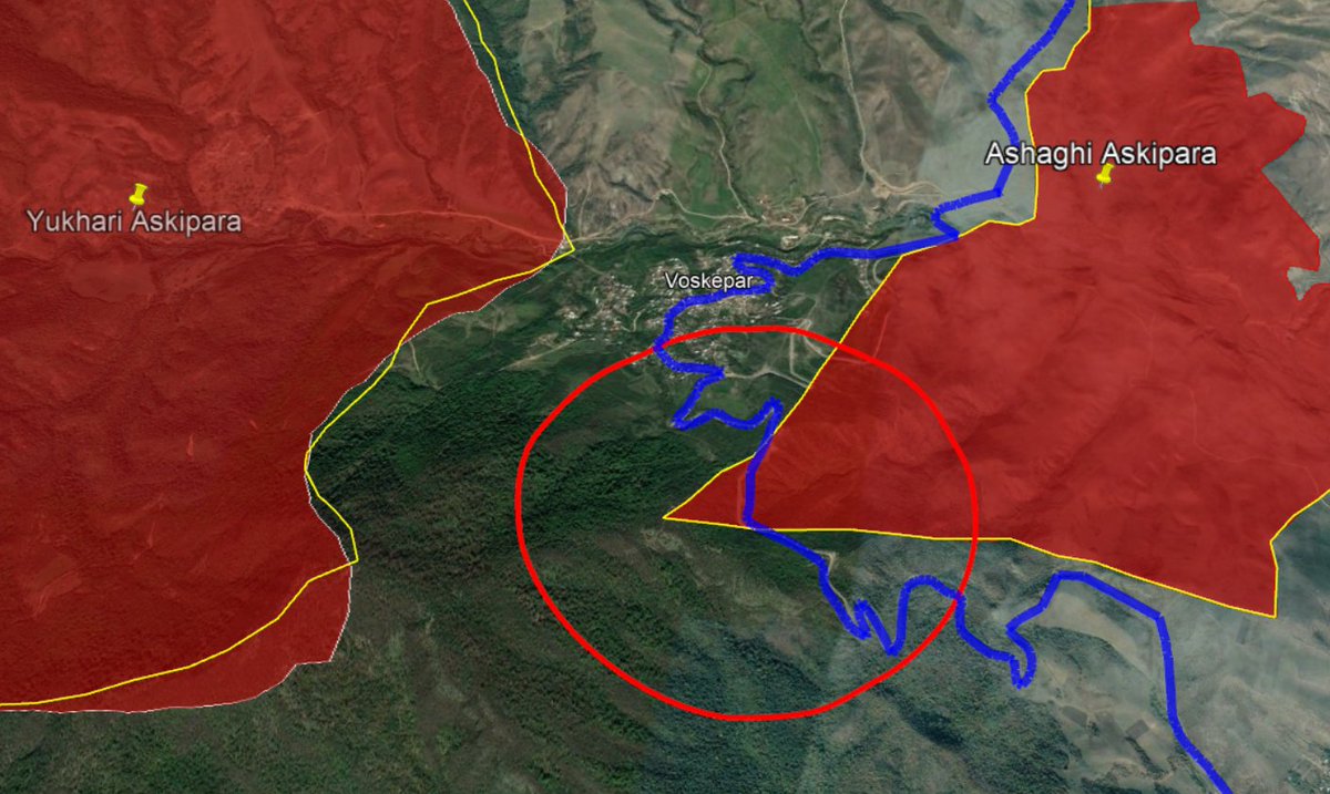
It always feels great when you get a feedback. @Danspiun asked to show Ijevan-Noyemberyan road in relation to occupied area + putting names of the occupied&burnt settlements. Added both to the map - bigger scale labels are the names of the occupied villages. Blue is the highway. 

And... here is a beautiful timebomb placed by SSR. This tiny "nose" will block this road if the withdrawal happens here as well, and since there is no alternative route because of the terrain, Ijevan-Noyemberyan will be 165 km instead of 55 km now.
A boomerang, Armenia.
A boomerang, Armenia.

• • •
Missing some Tweet in this thread? You can try to
force a refresh


