Have you ever thought about how easy it is—or isn't—for you to access something as simple as shade?
Take a city like Los Angeles: its identity was built on sunshine—in photos, in Hollywood, and even in our imaginations. By midcentury, "sunshine had become one of our central commodities," says L.A.'s chief design officer Christopher Hawthorne.
Did you know that today, L.A. has more solar power capacity than any other American city?
But too much sunshine can be deadly. L.A. has a moderate climate, but it still experiences extremely dangerous heat—and unlike almost any other U.S. city, it can strike year-round.
Like other American cities, L.A. has been shaped by a history of discriminatory policies that eventually impacted who gets exposed to the sun—and who gets shade.
Today’s patterns of wealth, trees, and urban heat are all influenced by a neighborhood grading system imposed on L.A. in 1939—a racist practice known as redlining. nationalgeographic.com/magazine/graph…
The federal Home Owners’ Loan Corporation, a creation of the 1930s New Deal, produced color-coded maps of cities based on the race and class of local residents. "A" grade neighborhoods were usually all or mostly white, and money flowed easily to them. nationalgeographic.com/environment/ar…
"C" or "D" neighborhoods were usually home to people of color. The maps often determined who could get housing loans—reinforcing segregation and steering financial aid toward white Americans. These policies, though revoked in 1968, had huge effects that are still visible today.
To see how redlining still impacts neighborhoods now, just take a drive down Vermont Ave in L.A. and you'll see how trees on the city’s streets change with the income level of each neighborhood.
In areas formerly designated "Grade A," there are far more trees that can provide shade and more green spaces that help keep the area cool during hot weather.
In "Grade B" neighborhoods, there's still plenty of tree canopy, but there's room to plant many more trees. On a hot July 2020 day, temperatures were about 3 degrees Fahrenheit hotter here.
Areas that were given "Grade C" were considered at risk of "infiltration" by non-white communities nearby—which is literally the language used on the official government maps.
In "Grade D" neighborhoods, there are almost no trees and the landscape is dominated by pavement, which heats up much more.
Bureaucrats cited the presence or proximity of “subversive racial elements” as cause to give an area a lower grade, which was indicated with a red line on the map. nationalgeographic.com/science/articl…
One reason why all of this is important? Heat kills more people each year than any other kind of natural disaster in the U.S. nationalgeographic.com/magazine/artic…
On a hot day like July 3, 2020, the average surface temperature of Area A was 11.6 degrees Fahrenheit cooler than Area D. That could be the difference between life and death.
Climate change is making dangerous heat worse, more likely, and more frequent—and people of color are bearing the brunt of the danger. nationalgeographic.com/environment/ar…
Sadly, Los Angeles isn't the only city in the U.S.—or the world for that matter—that needs to confront the fact that its residents don't have equal access to shade. nationalgeographic.com/magazine/artic…
This is a fixable problem. "But only if we face the history, and the modern reality, head on," writes @alejandrabee_. Subscribe to read her cover story in the July 2021 issue of National Geographic. nationalgeographic.com/magazine/artic…
• • •
Missing some Tweet in this thread? You can try to
force a refresh
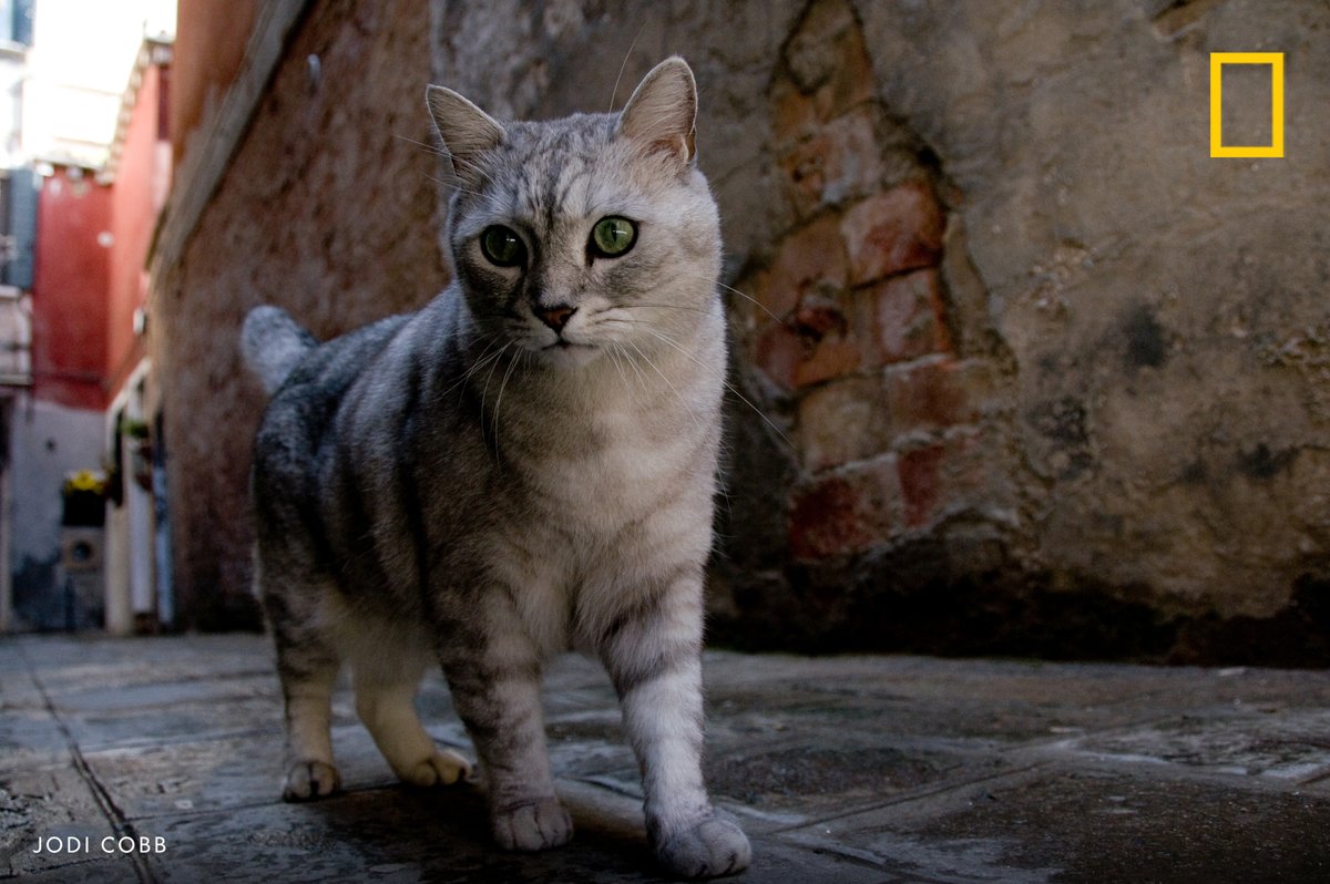
Happy #InternationalCatDay! In honor of our favorite four-legged companions, enjoy a selection of frisky feline photos and curiosity-inducing stories
Long before cats took over the internet—and long before there was an internet to conquer—one photographer spent months in the sitting rooms of America’s well-to-do, capturing elaborate staged photos of some very pampered pussycats on.natgeo.com/3Qnp7dy
A cat turns its gaze toward the camera while her kittens feed in this scene captured in Istanbul, Turkey
The culture of the Siksikaitsitapi is intertwined with buffalo. Millions of bison once roamed North America but were almost killed off by hunters in the late 19th century. Restoration programs have begun to reestablish buffalo to roam free on their tribal lands
The Siksikaitsitapi are a confederacy of four nations, three in Canada and one in Montana, U.S. The Native nations have intimate human-animal relations
An extreme sport spun from the horse traditions of the plains, Indian Relay is a break-neck bareback race on painted steeds, with riders switching from one galloping horse to another every lap
The Haudenosaunee are comprised of six nations, whose homelands are in what is now upstate New York and southern Ontario. They are skilled farmers—who transformed their landscape into an agricultural powerhouse. The foundation of that powerhouse: corn on.natgeo.com/3nrPMcK
The U.S. takeover of Indigenous societies is often described in terms of land. But it also was an assault on culture, including making it ever harder for Indigenous peoples to grow and eat their own foods. Now, the Haudenosaunee are reviving their agriculture
Angela Ferguson works with Indigenous colleagues to bring back varieties of corn nearly lost to colonization and industrialization.
For Native people wanting to make a statement, she says, “the biggest protest you can make is to put one of your seeds in the ground.”
California’s Klamath River used to be home to the third largest salmon migrations in the continental U.S., celebrated for its Chinook salmon. Now their numbers have been reduced by 90 percent, leaving the Karuk and neighboring tribes in California with diminished salmon runs
Dams along the Klamath River—which is sacred to Klamath societies—have blocked salmon from reaching spawning grounds and harmed the water quality. The California tribes battled to have the dams removed, protesting their environmental impact
The nations have fought industry and government to remove four enormous dams, which would help restore the river’s flow and revive its diminished salmon—a major step toward re-creating the landscape of the tribes’ ancestors
In the 1830s the federal government forced members of the Chahta (Choctaw) and dozens of nations to resettle in Indian Territory, which became part of the new state of Oklahoma—most reservations eventually dissolved. on.natgeo.com/3HYZmgQ
The Indian Self-Determination Act in 1975 was a turnaround in Native America—creating mechanisms for tribes to establish and direct their own programs. It meant bringing back Chahta dance and Chahta language, and reviving the traditional team sport of ishtaboli (stickball)
Principal Chief David Hill was at the forefront of the fight that led to the landmark Supreme Court McGirt Decision in 2020. The Court ruled that the Muscogee reservation still exists legally, which led to similar recognition of tribal lands for other Native nations in the state
The Tla-o-qui-aht—one of the 14 nations of the Nuu-chah-nulth on Vancouver Island—are reclaiming their land through conservation, renewal of artifacts, and revitalization of language. on.natgeo.com/3u6VAMy
For nearly two decades, the Tla-o-qui-aht have been in negotiations over their homeland, over which they have asserted control—protesting that they had never signed a treaty with British Columbia, and thus had given up none of their rights or land
Tla-o-qui-aht’s parks guardians maintain and protect the land of tribal parks. Indigenous land-use methods are restoring terrain ravaged by timber operations