How the @UAlberta's Cameron Library became a two-skinned building.
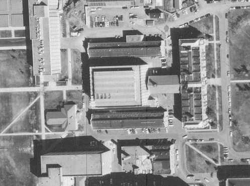
Cameron Library, opened in 1964 and named after former University Librarian Donald Cameron, was designed to be expanded after its bracketing North and South Labs, shown in this 1965 air photo, were demolished.
The North Lab was taken down in 1968 to accommodate Cameron's north expansion.
But the South Lab, shown here in a 1978 air photo, survived. About 15 years ago it was renovated to become Triffo Hall, the first LEED Gold building at the university and in my opinion a campus treasure. archdaily.com/111083/univers…
The integrity of Cameron's original curtain wall system must have been compromised because in the 1990s or '00s the U of A replaced the east & west facades. The north facade was newer because of the expansion & the south facade presumably had less weather exposure.
The yellow metallic mullions were replaced by brick columns that give a nod to the Arts Building & Triffo Hall but lack the glitter of the original design. In this case old fashioned conservatism -- fix what you must, keep what you can -- took priority over aesthetics.
• • •
Missing some Tweet in this thread? You can try to
force a refresh
The Tawatinâ Bridge artwork by @GarneauDavid is a dazzling fusion of contemporary and historical Indigenous themes and perspectives. The map-related pieces particularly caught my planning historian eye so here’s a thread about them.
The pixelated bison is a map connecting Edmonton with St. Paul. Each pixel is a surveyor’s township. The blue line is the North Saskatchewan and the red line is the former @CNRailway Coronado subdivision.
When I was growing up, all I knew about St. Paul was that it was home to a UFO landing pad. The space age whimsy helped mask the community’s origins as a Métis settlement called St. Paul des Métis metismuseum.ca/resource.php/0…
How an Edmonton neighbourhood didn't end up being called Grossdale, and got the city's dirtiest name instead.
Before World War I there was a real estate boom in Edmonton. Land owners and investors were bringing dozens of speculative subdivisions to market. One on the south side of the river was Grossdale.
The High Level Bridge, then under construction, was seen as dramatically improving access to the south side. In the marketer's parlance, Grossdale was where the bridge "will take the population."
POTENTIAL RING HOUSE SOLUTION. Most of us love heritage buildings. Few of us own them. It's easy to love and want to preserve things that someone else is paying for. Right now @UAlberta is facing severe financial challenges due to factors that include... cbc.ca/news/canada/ed…
provincial funding cuts. Under these circumstances, with its mission to provide outstanding higher education, it would be irresponsible of the university to plow $4 million into deferred maintenance on the homes that could otherwise improve teaching and research.
But it would also be hypocritical for a public institution with the vision to "inspire the human spirit through outstanding achievements in learning, discovery, and citizenship in a creative community" to tear down valued pieces of our built heritage... ualberta.ca/strategic-plan…
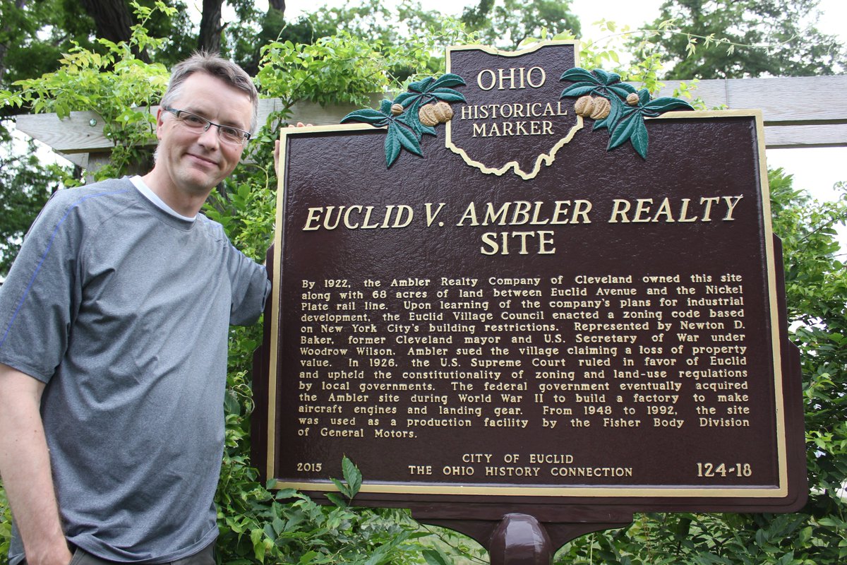
The fascinating irony at ground zero of zoning history. #planninghistory
After the U.S. Civil War, Cleveland, Ohio boomed industrially. Euclid Avenue was the pinnacle of the city's wealth, with a portion of it known as Millionaires' Row. John D. Rockefeller lived along it for years until he decamped to New York. This is another Euclid Avenue home.
Euclid Ave's glory faded in the 20th century with commercial development & increased traffic caused, in part, by automobiles of the rich now able to live in more secluded areas. After WWI Euclid Ave Assoc. was established to improve the avenue in & beyond Cleveland's city limits.