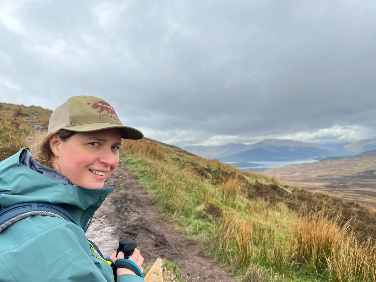
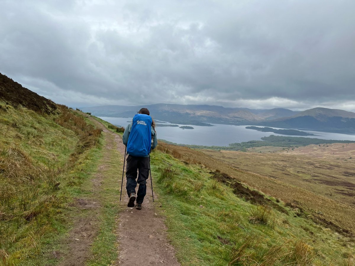
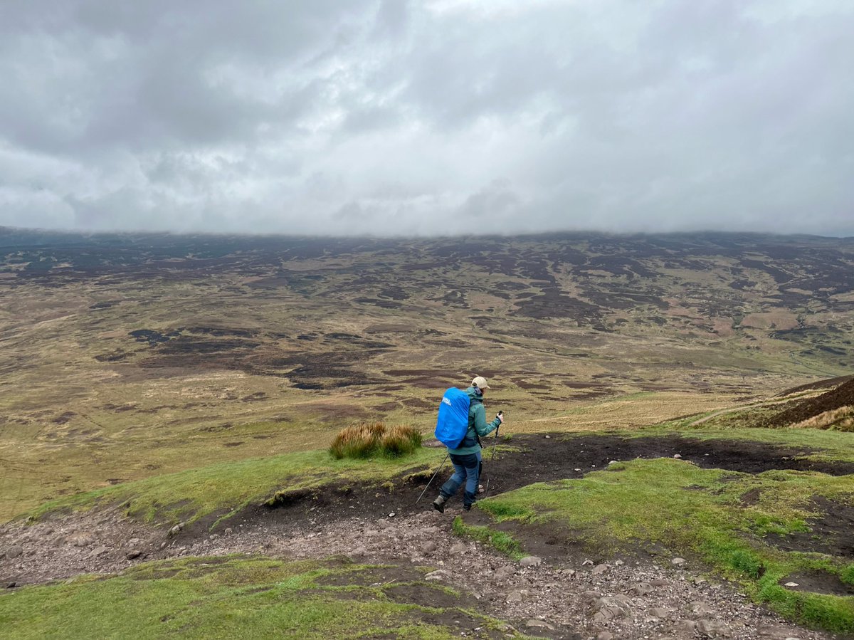
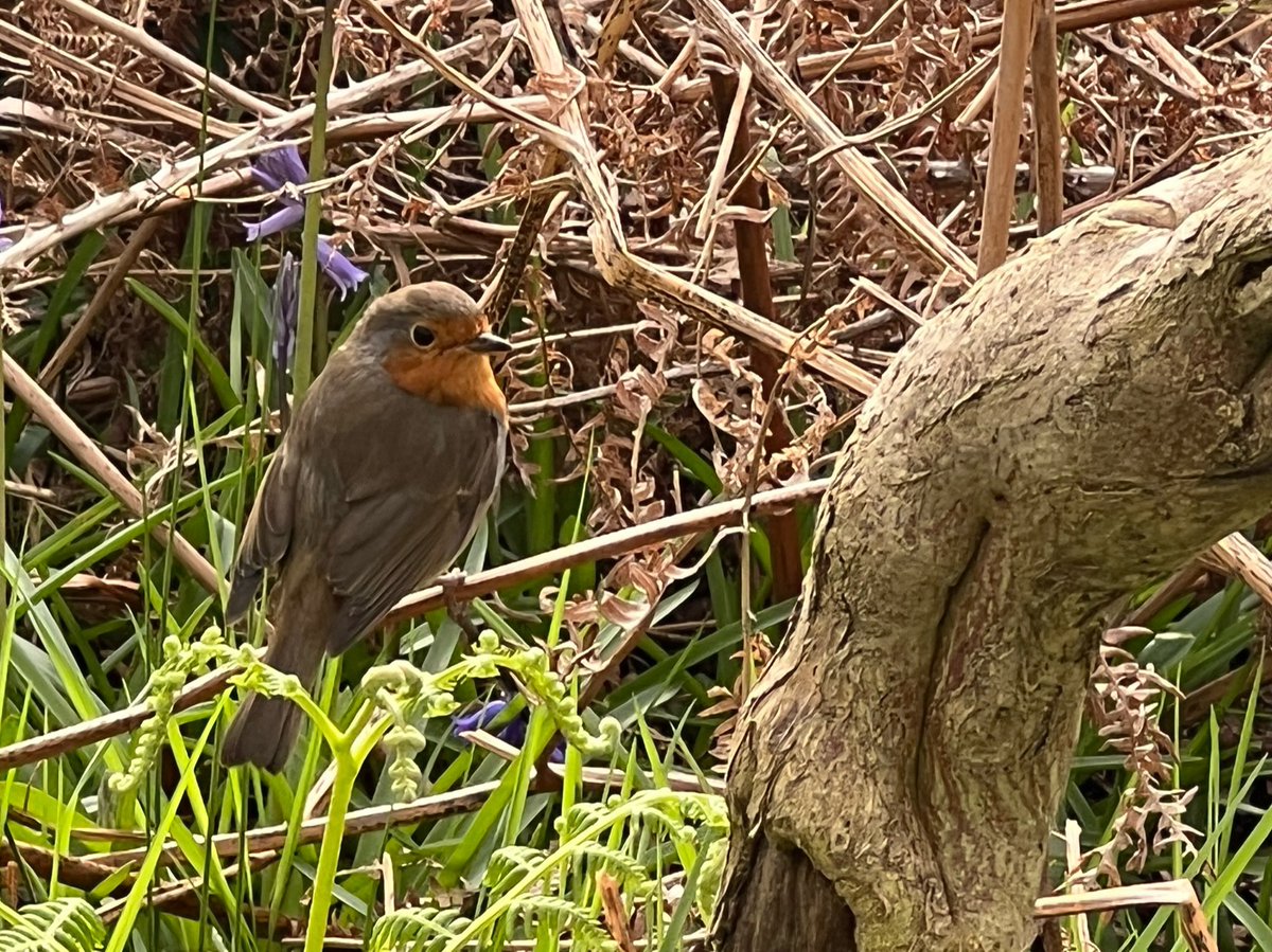
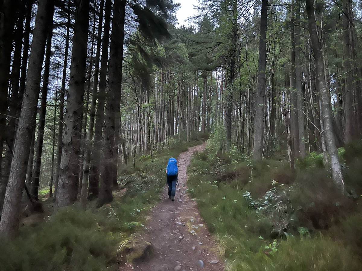
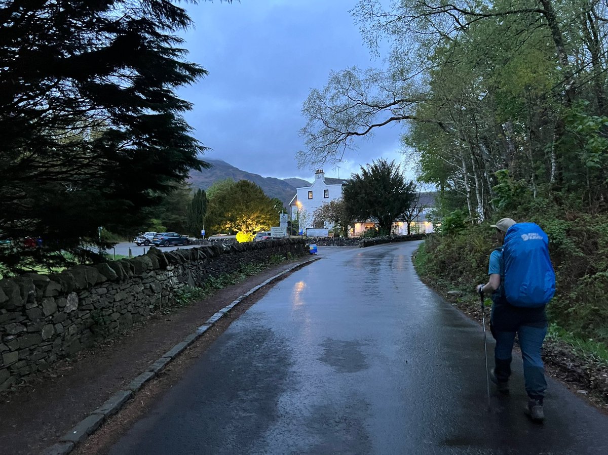
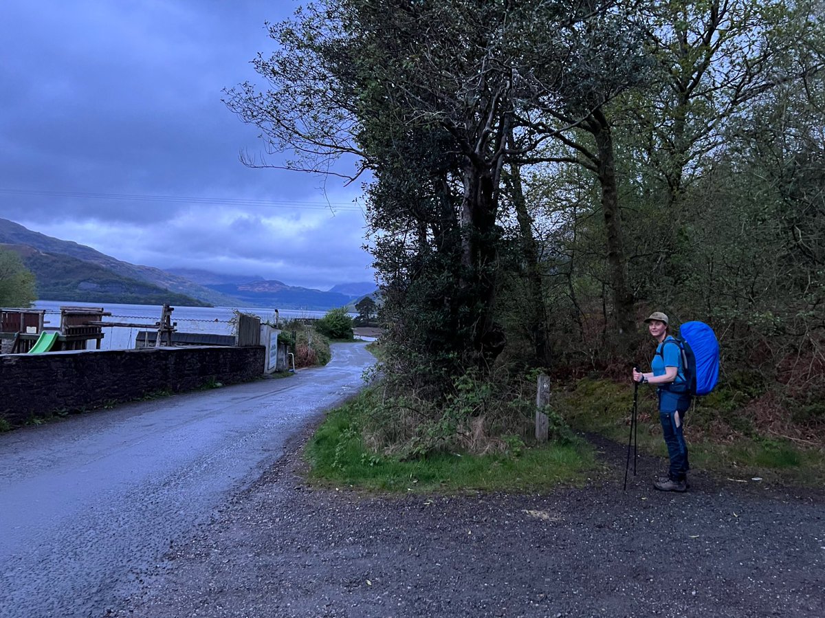
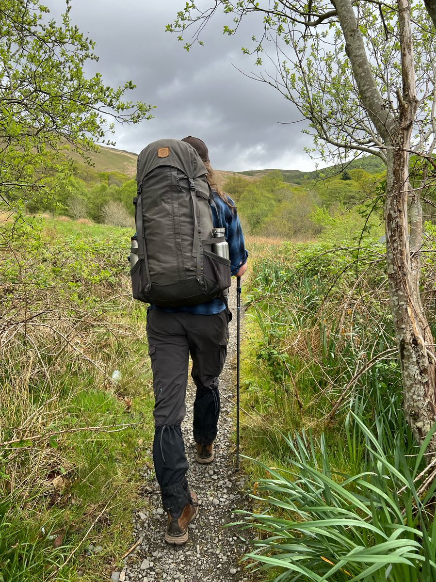
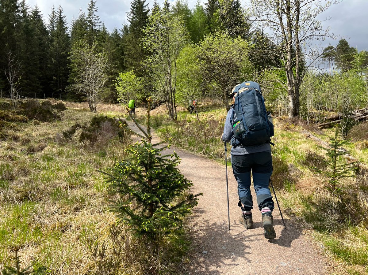
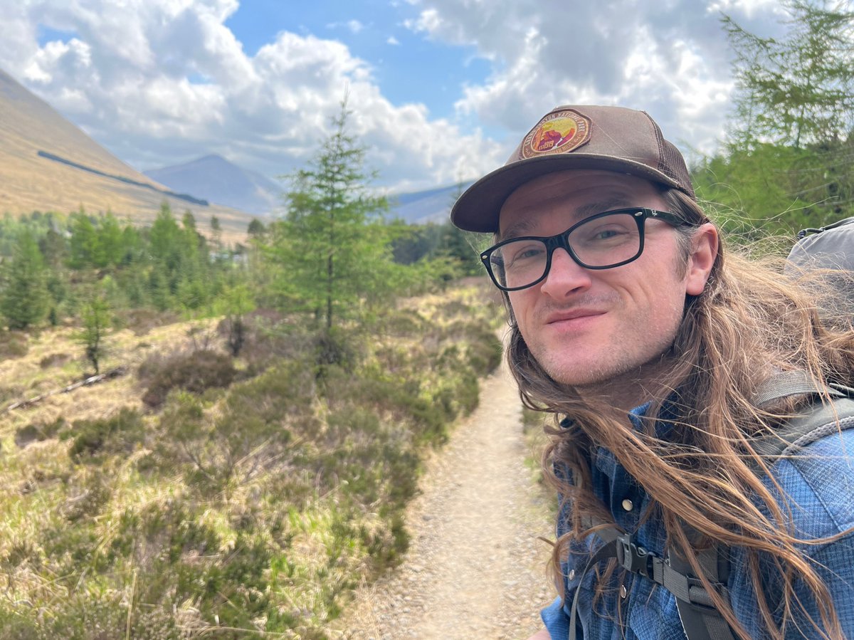
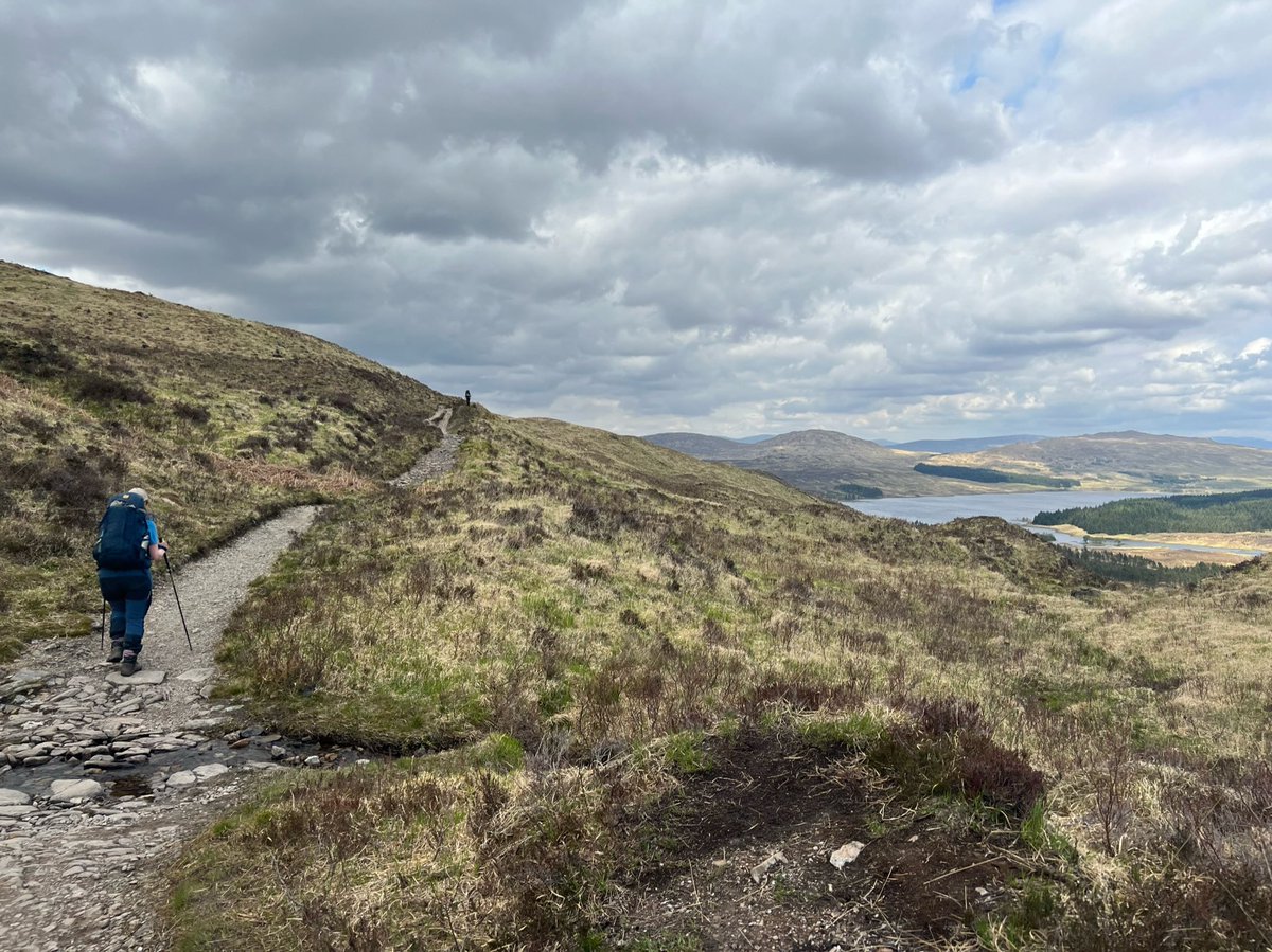
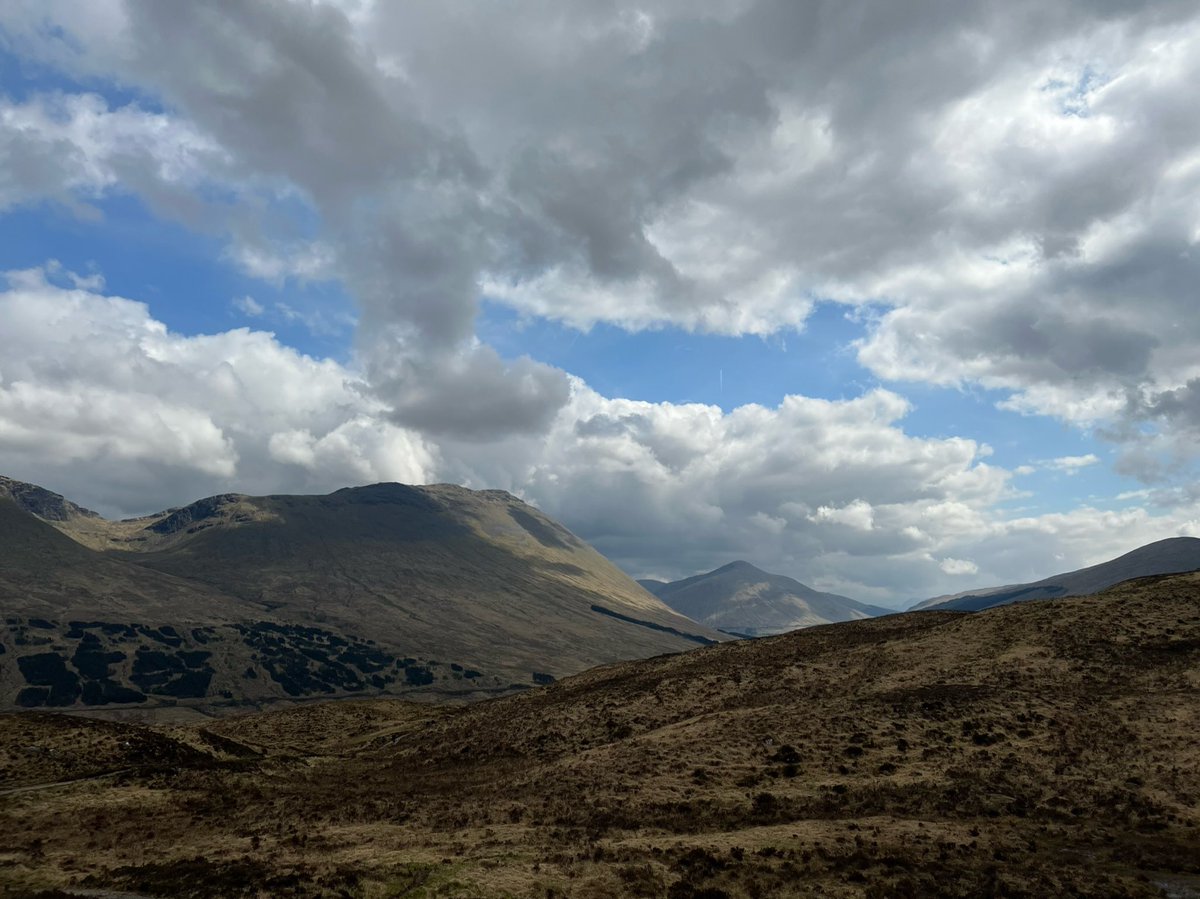
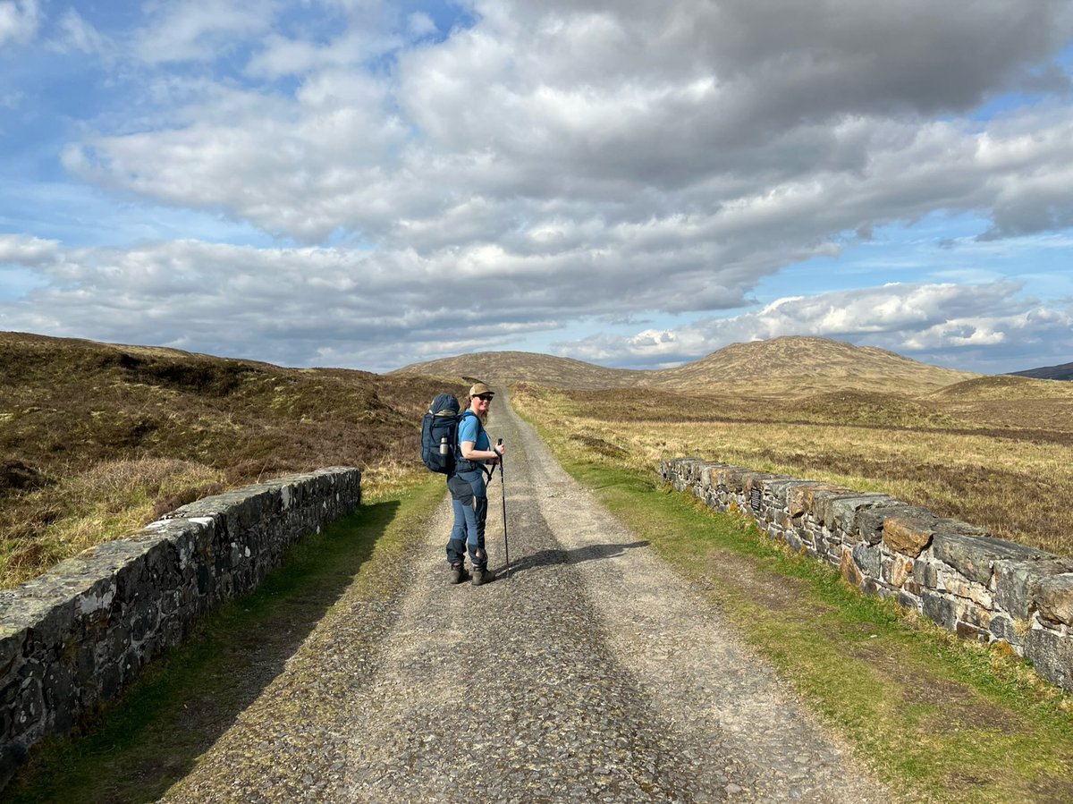
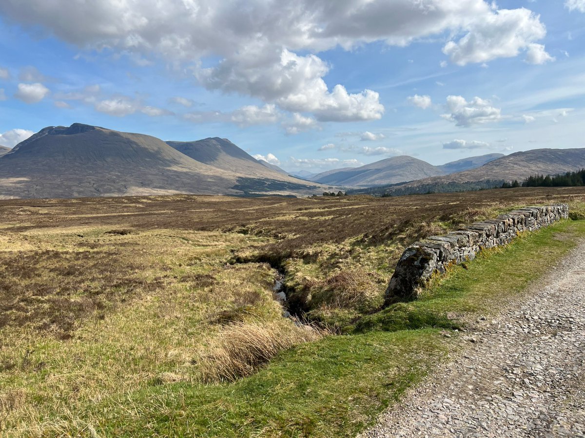
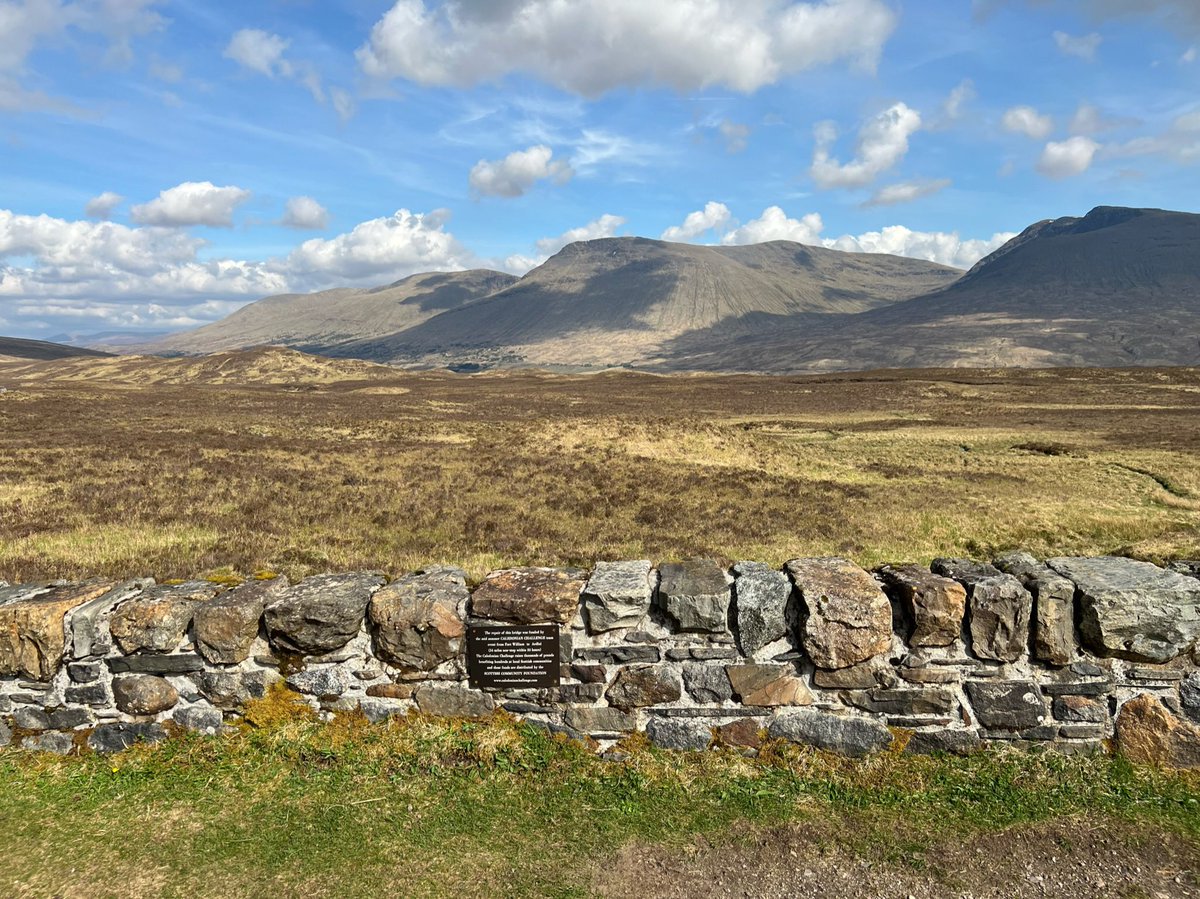
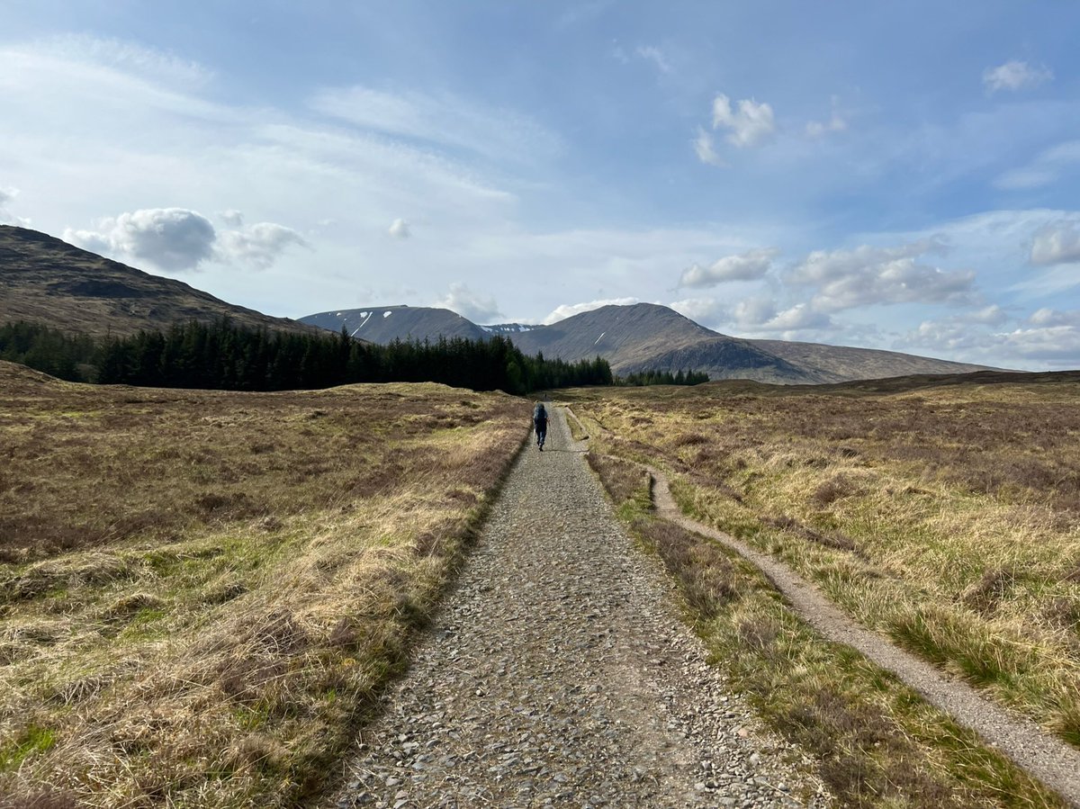
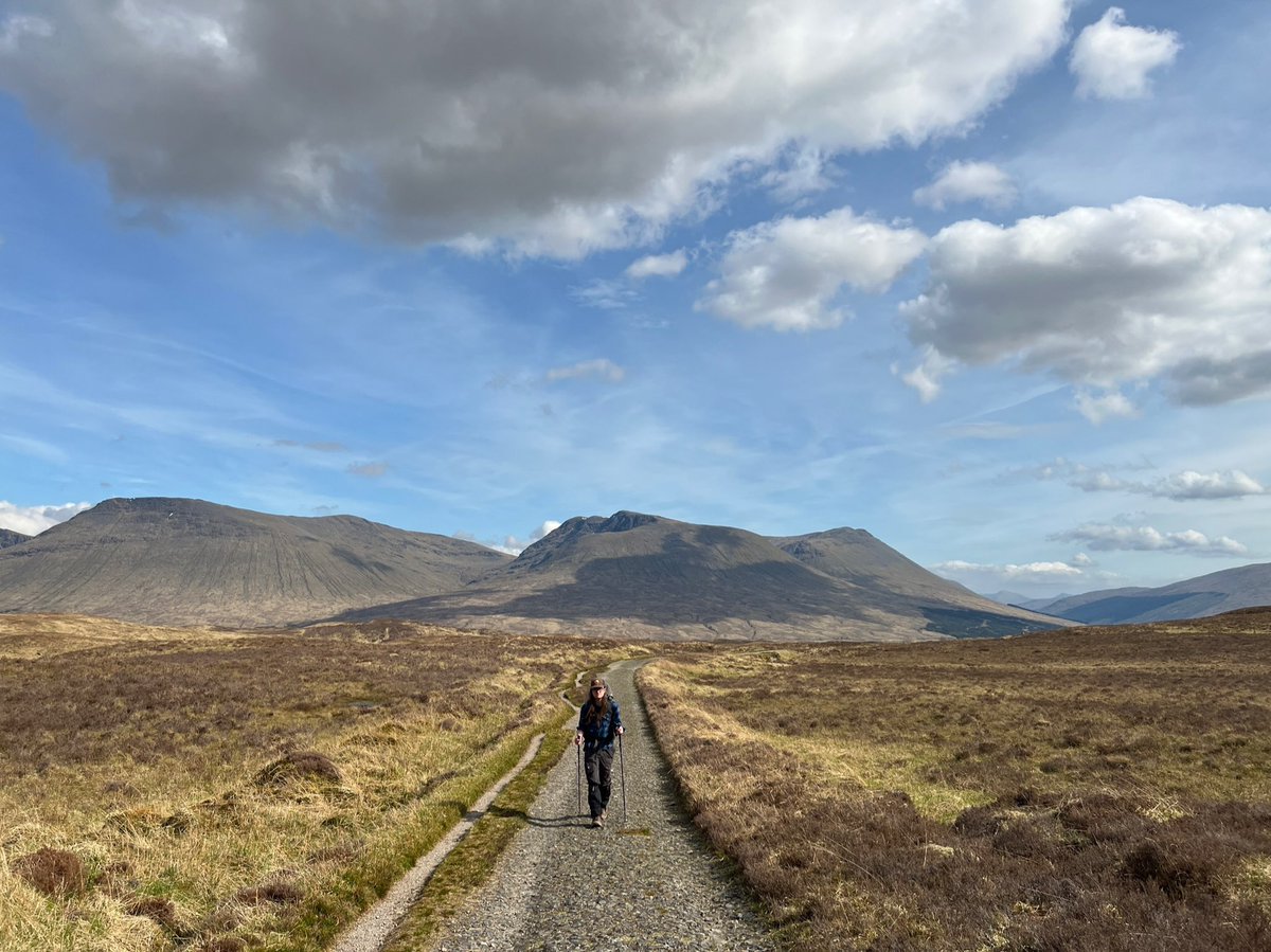
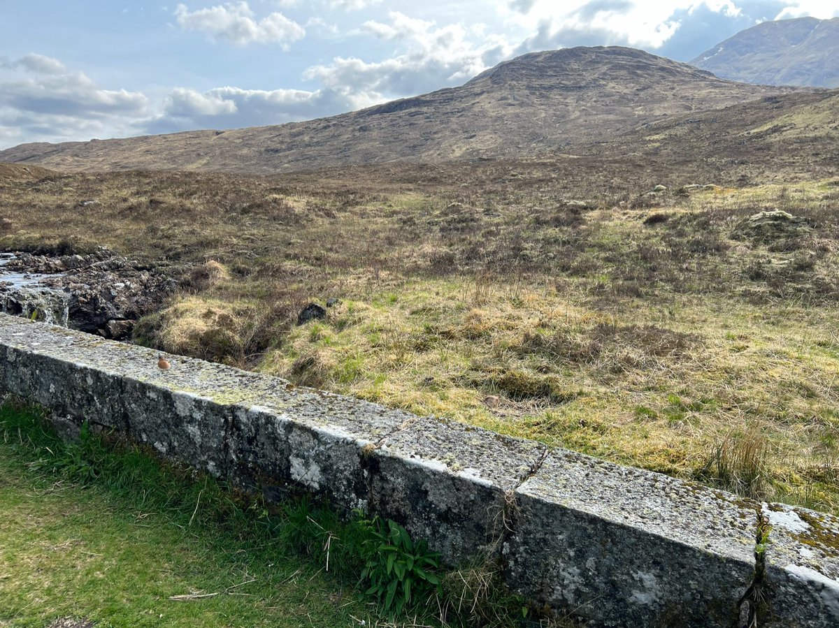
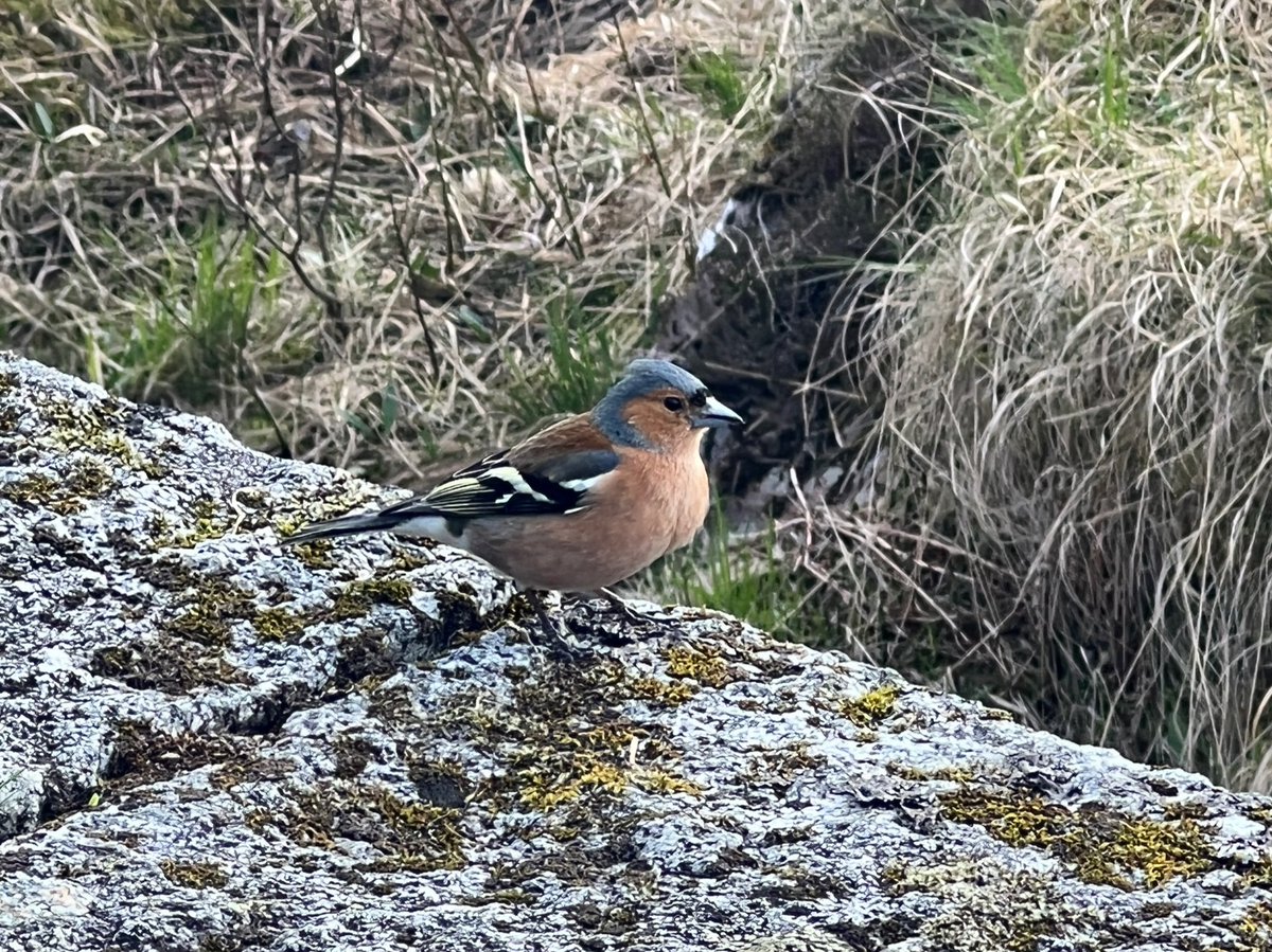
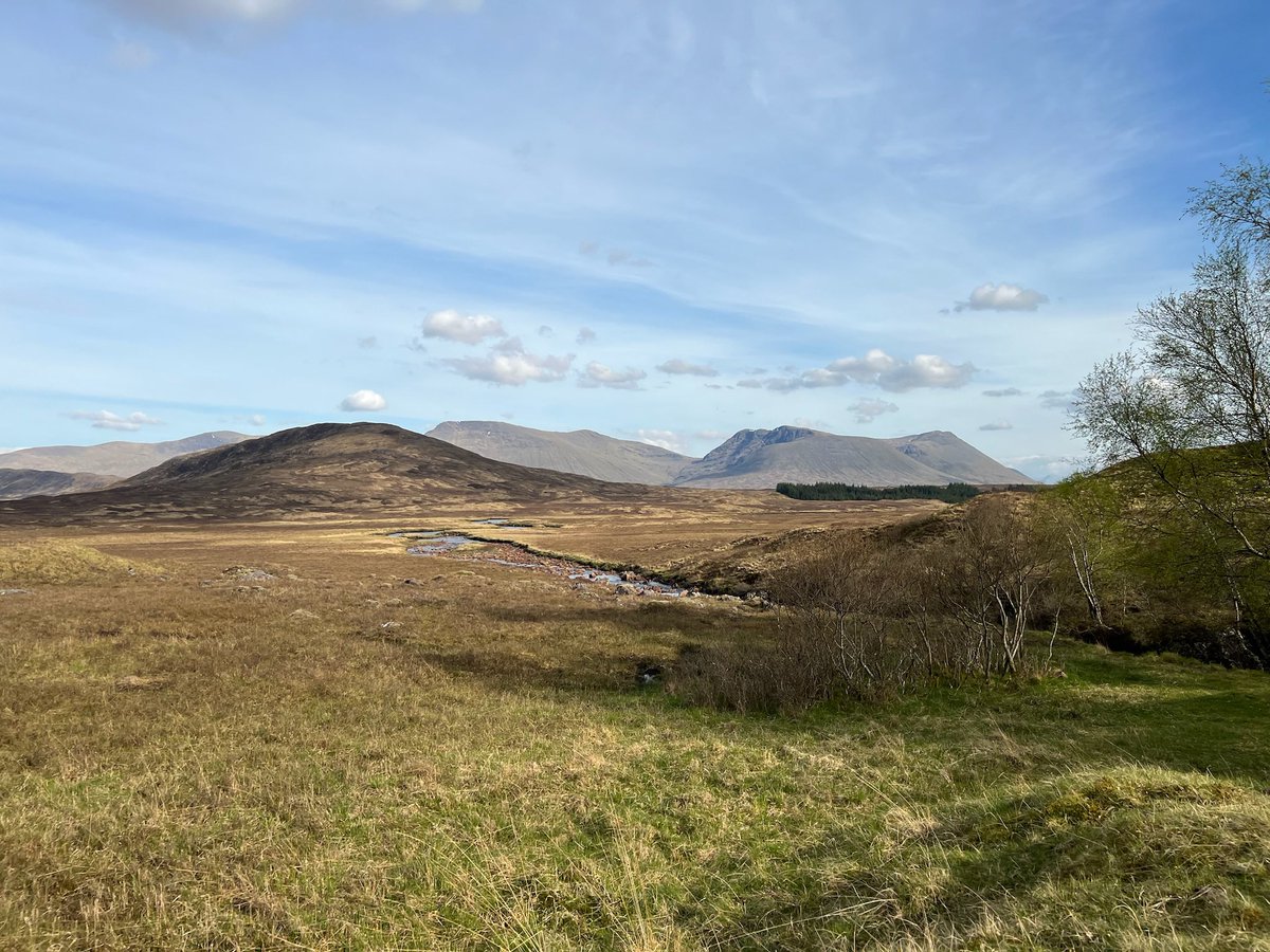
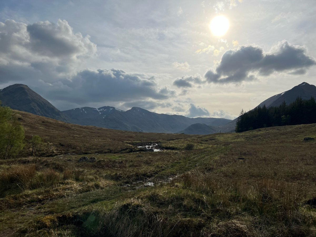
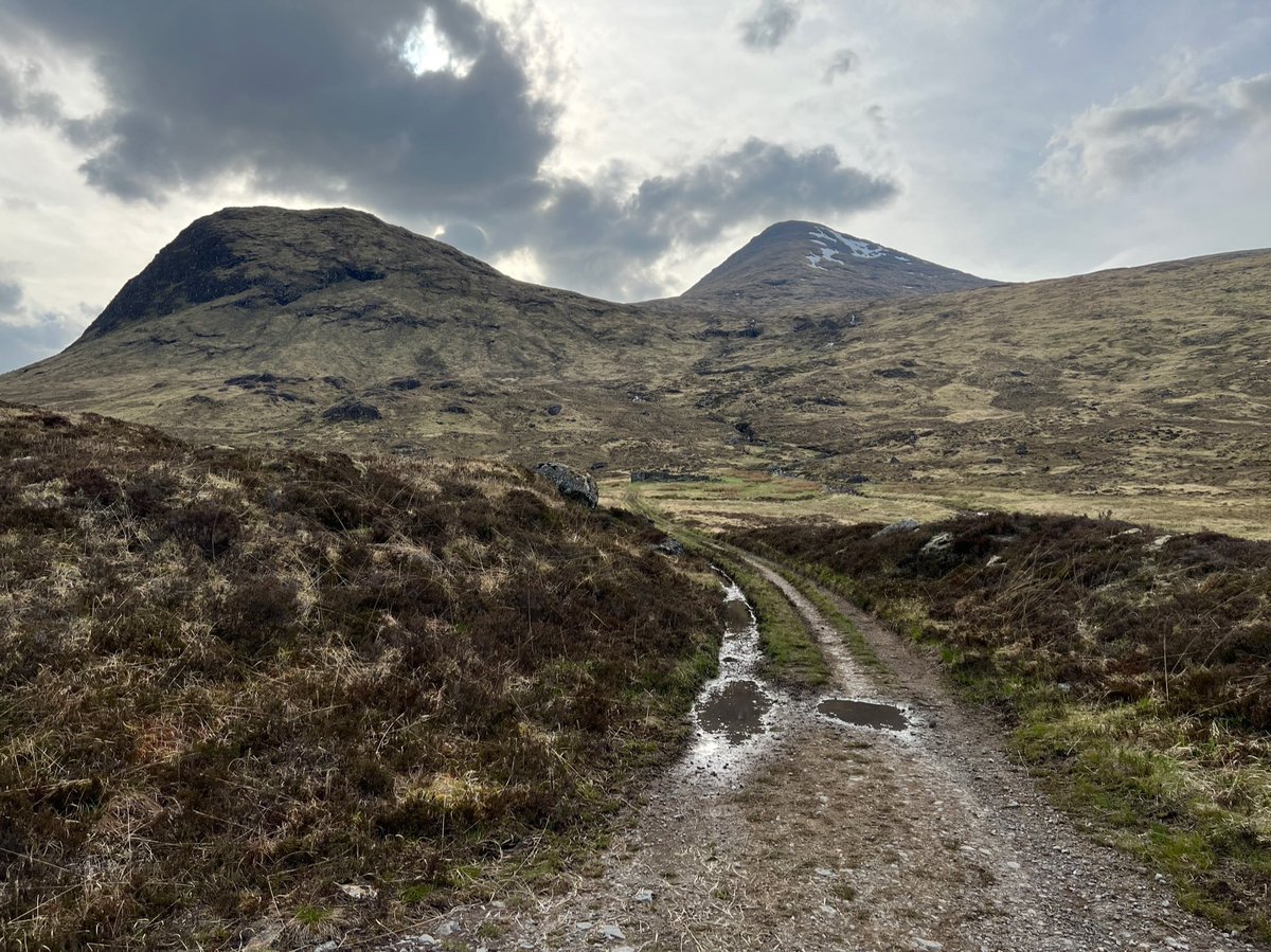
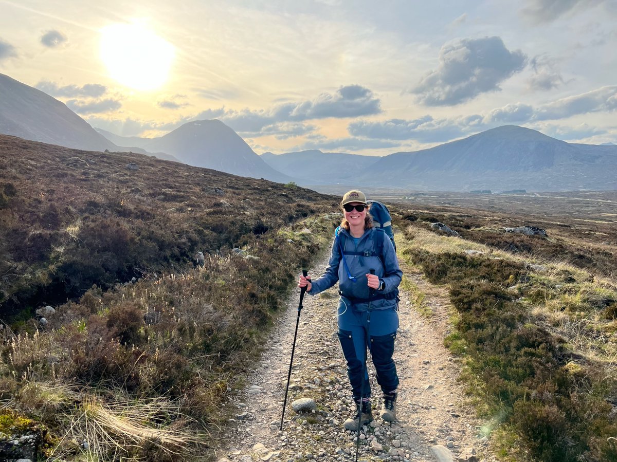
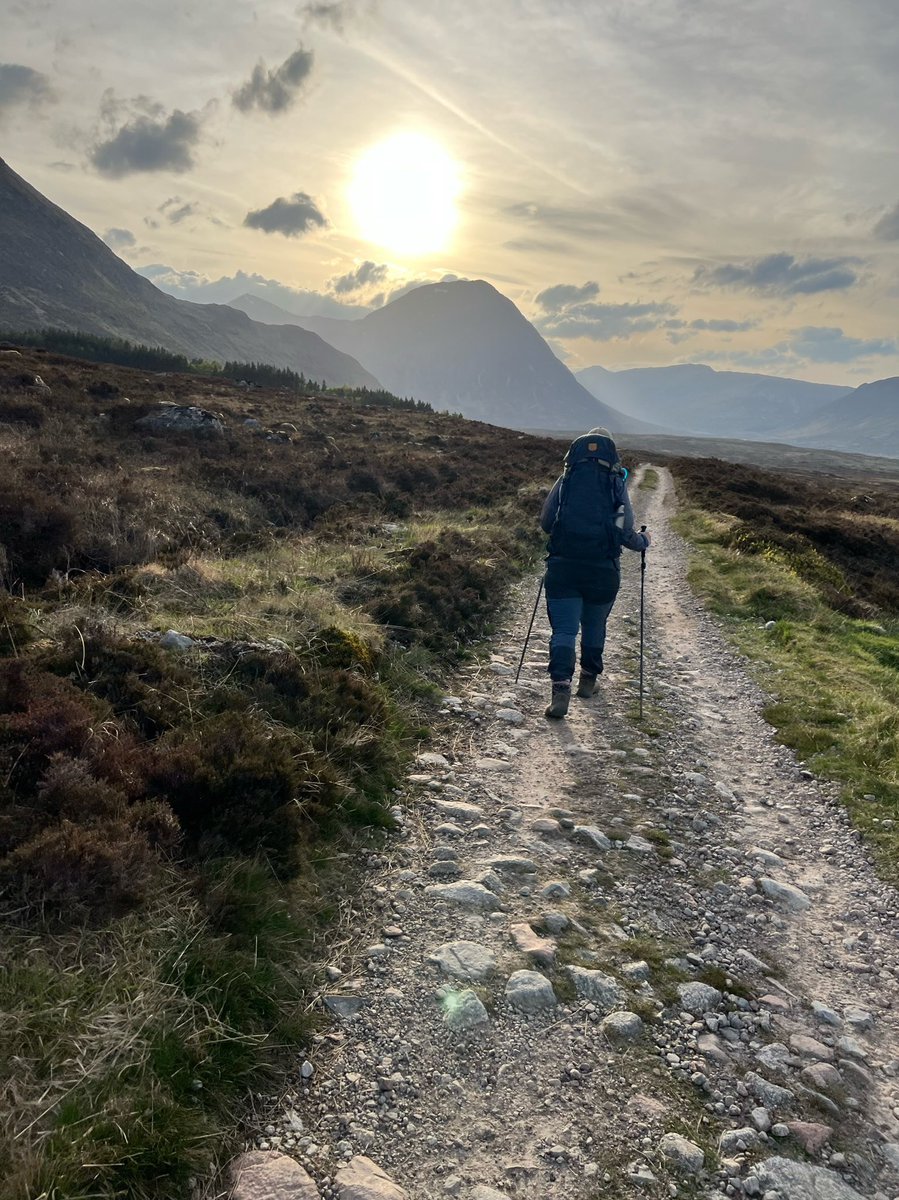
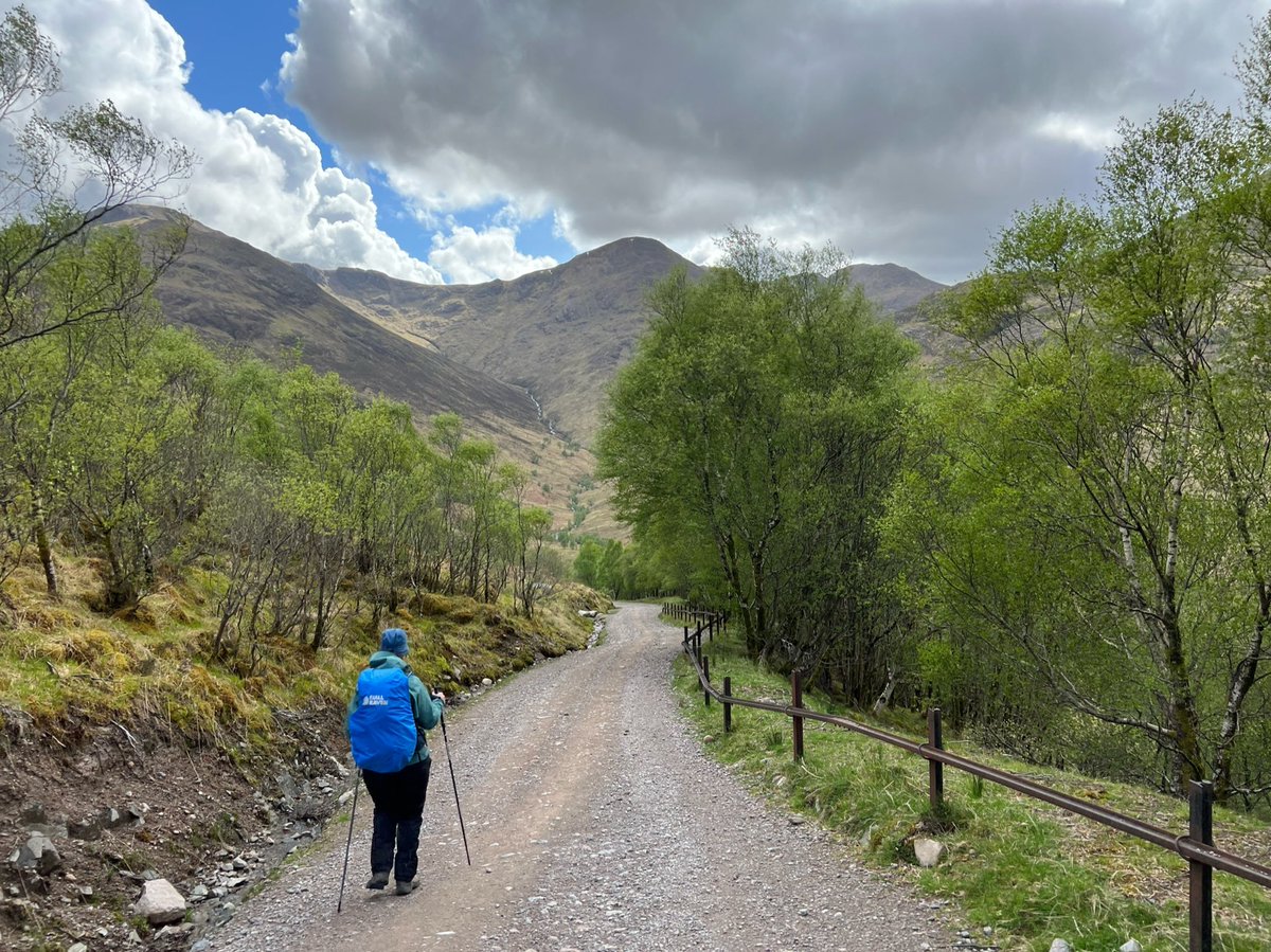
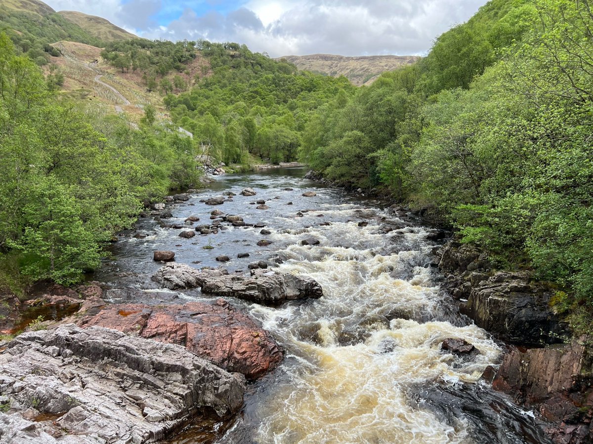
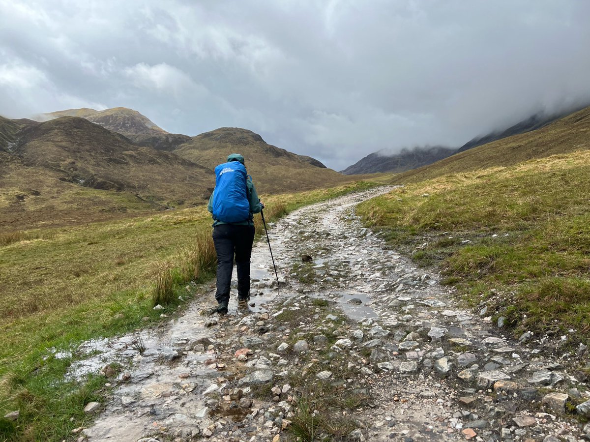
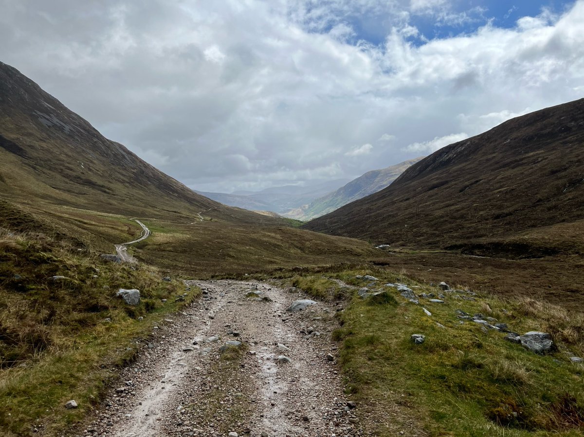
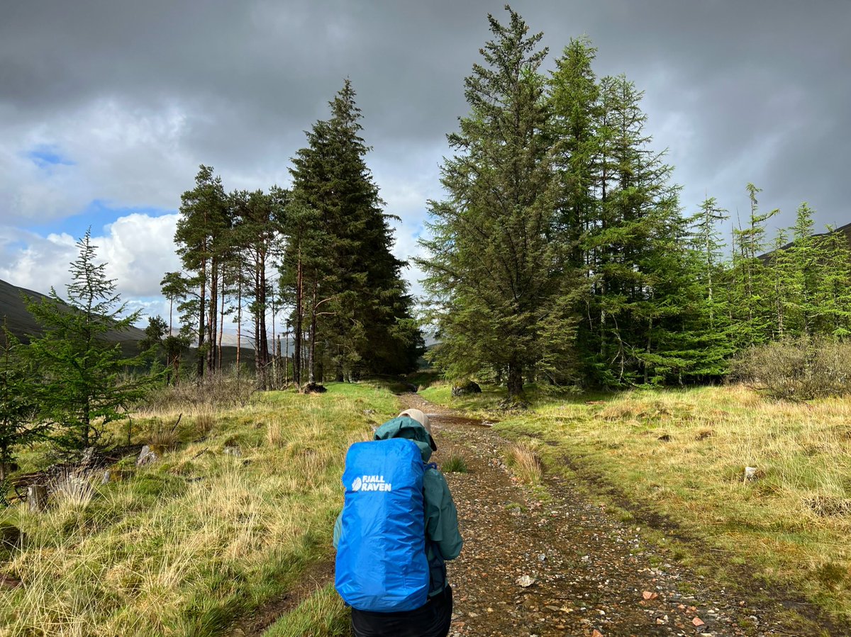
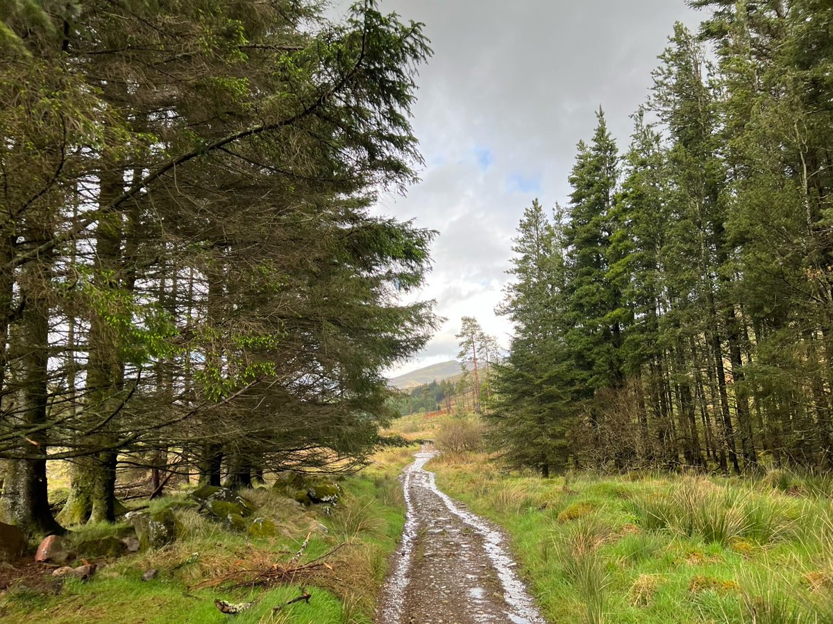
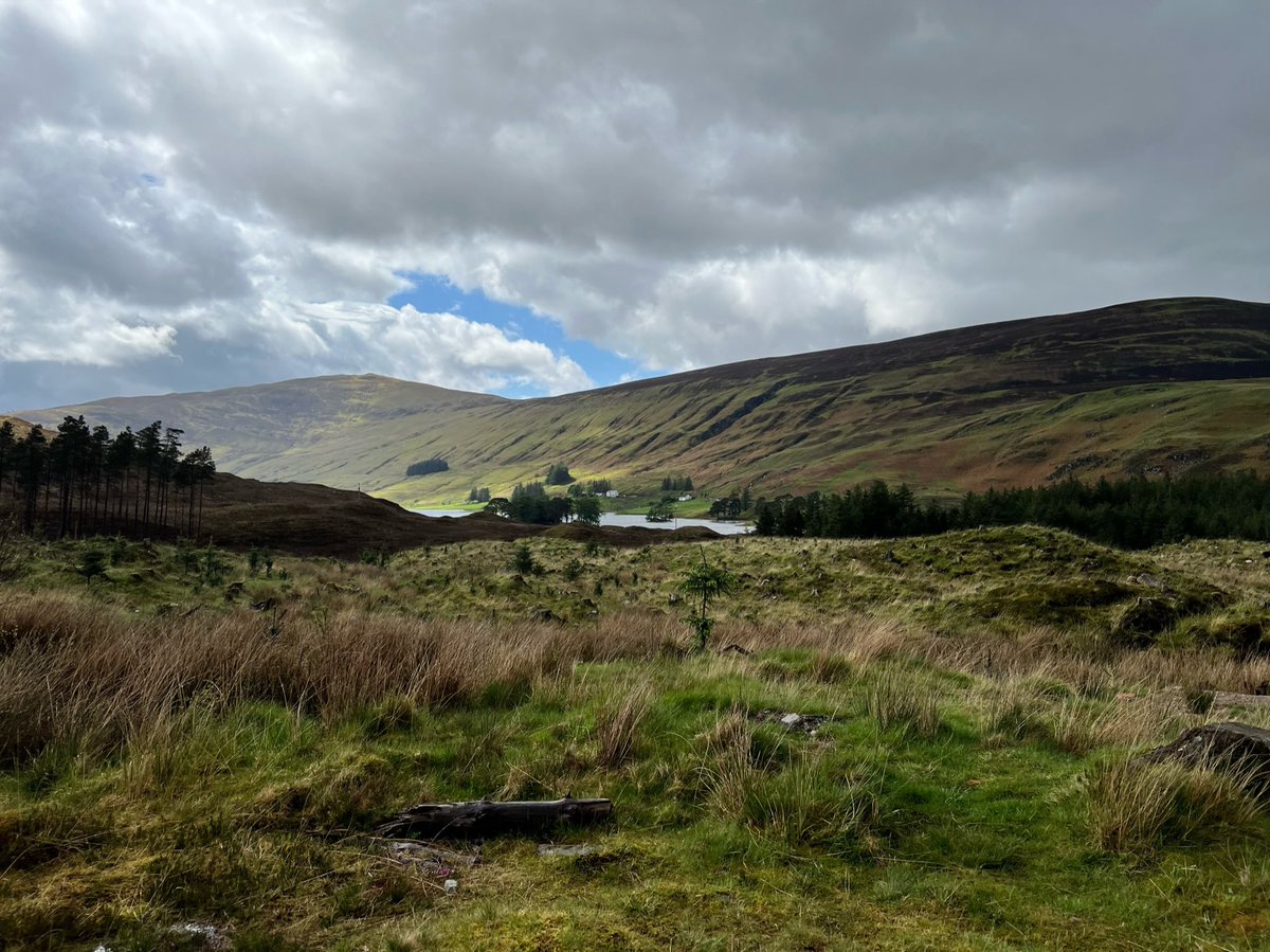
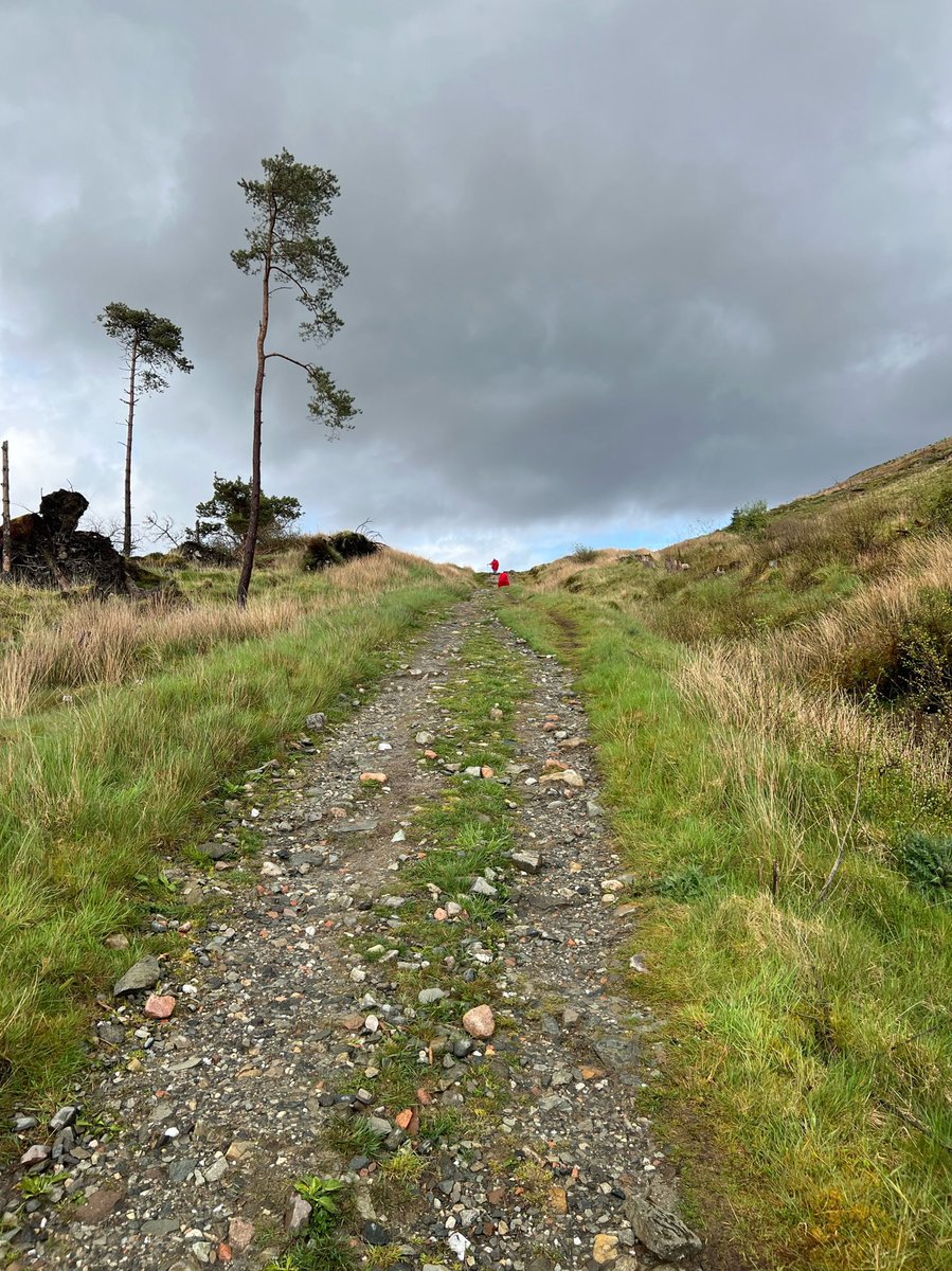
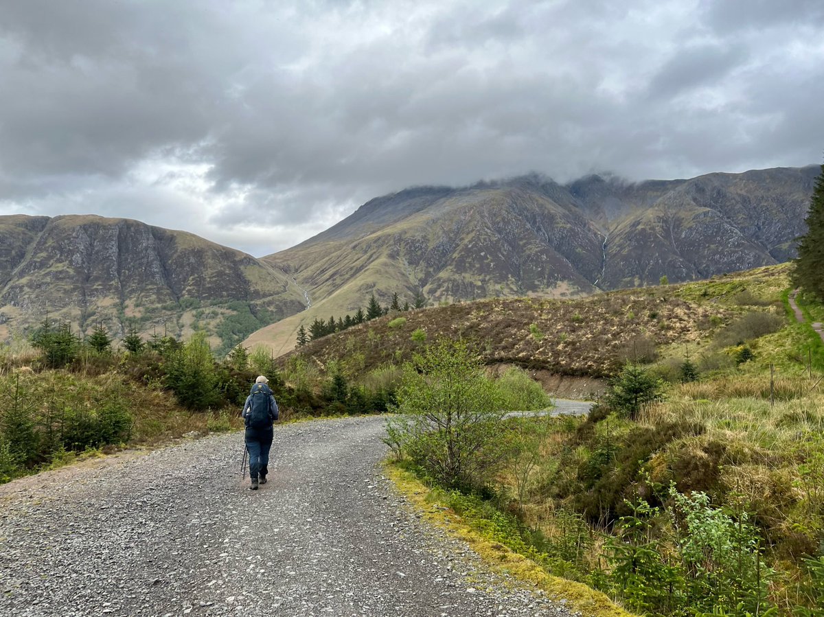
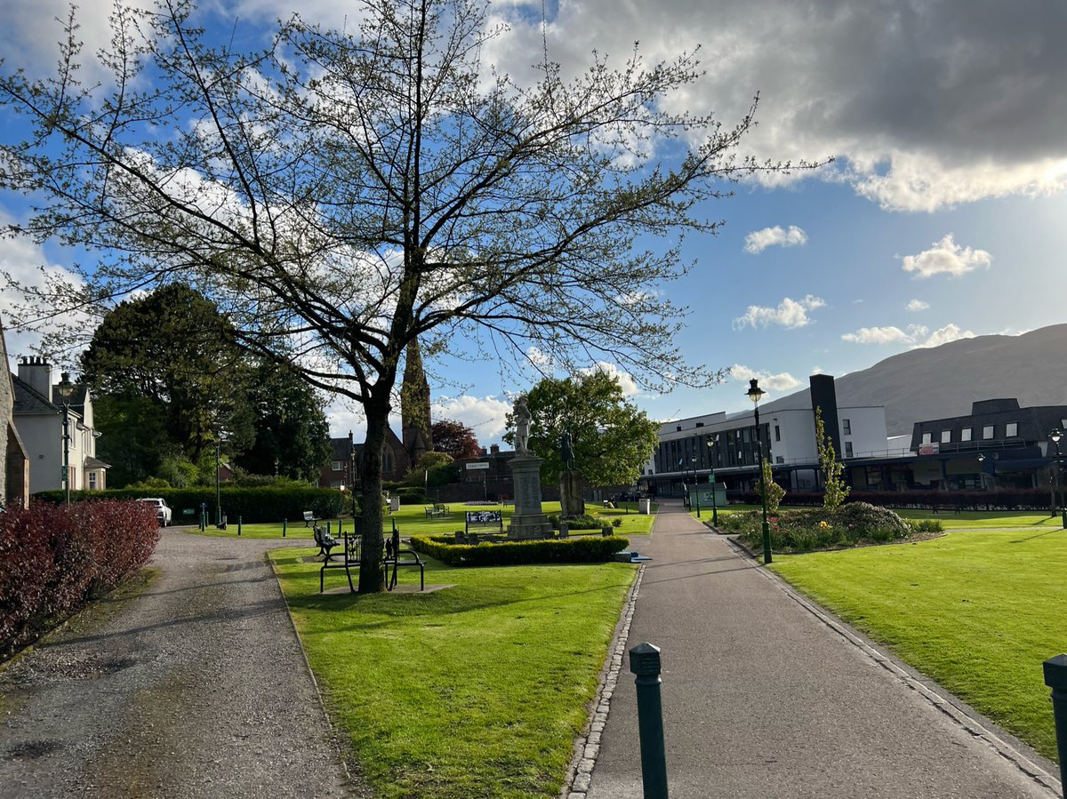
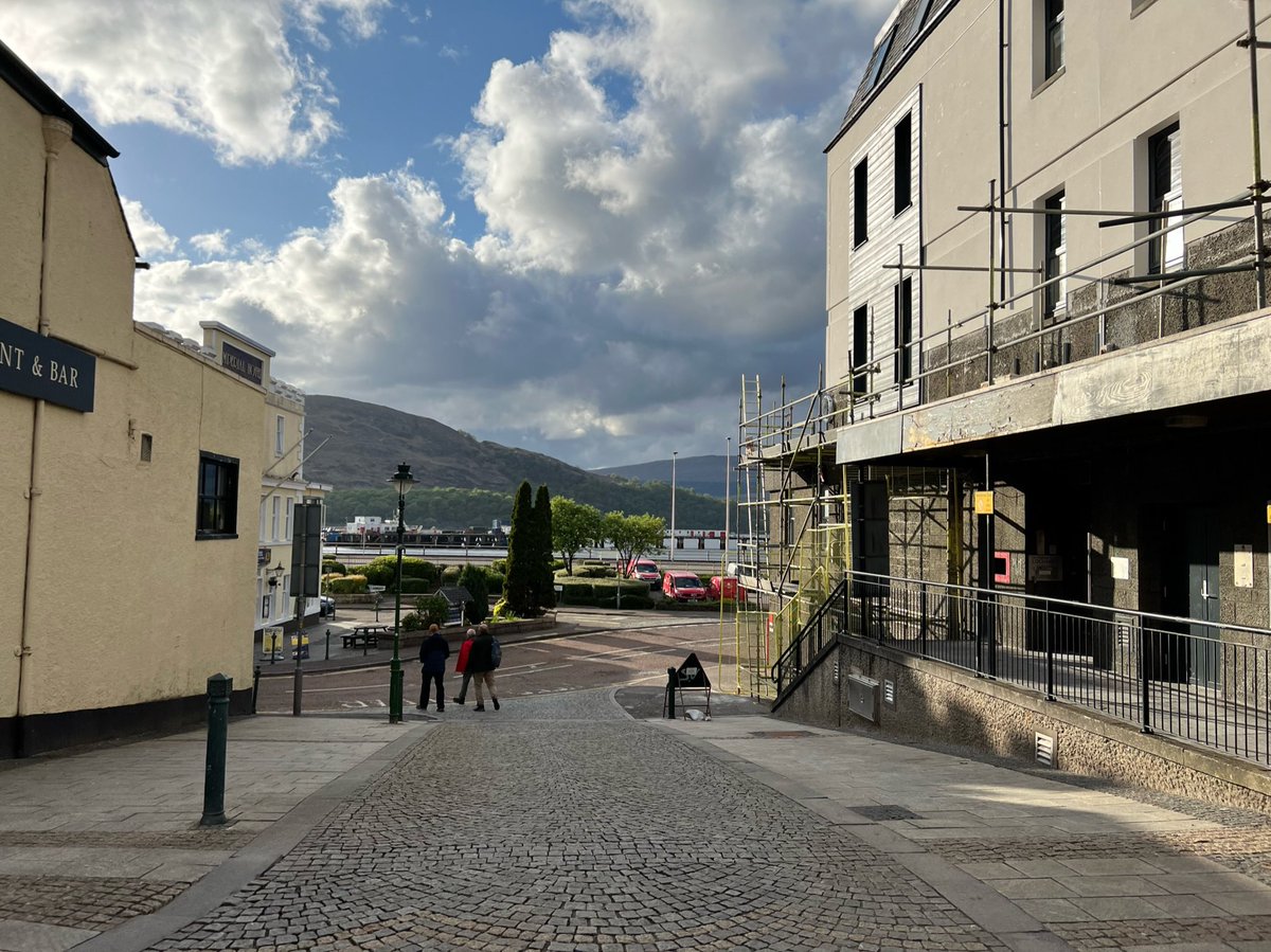
West Highland Way 🧵
🥾 Day 1
Milngavie Station - Drymen Camping 17.8 km
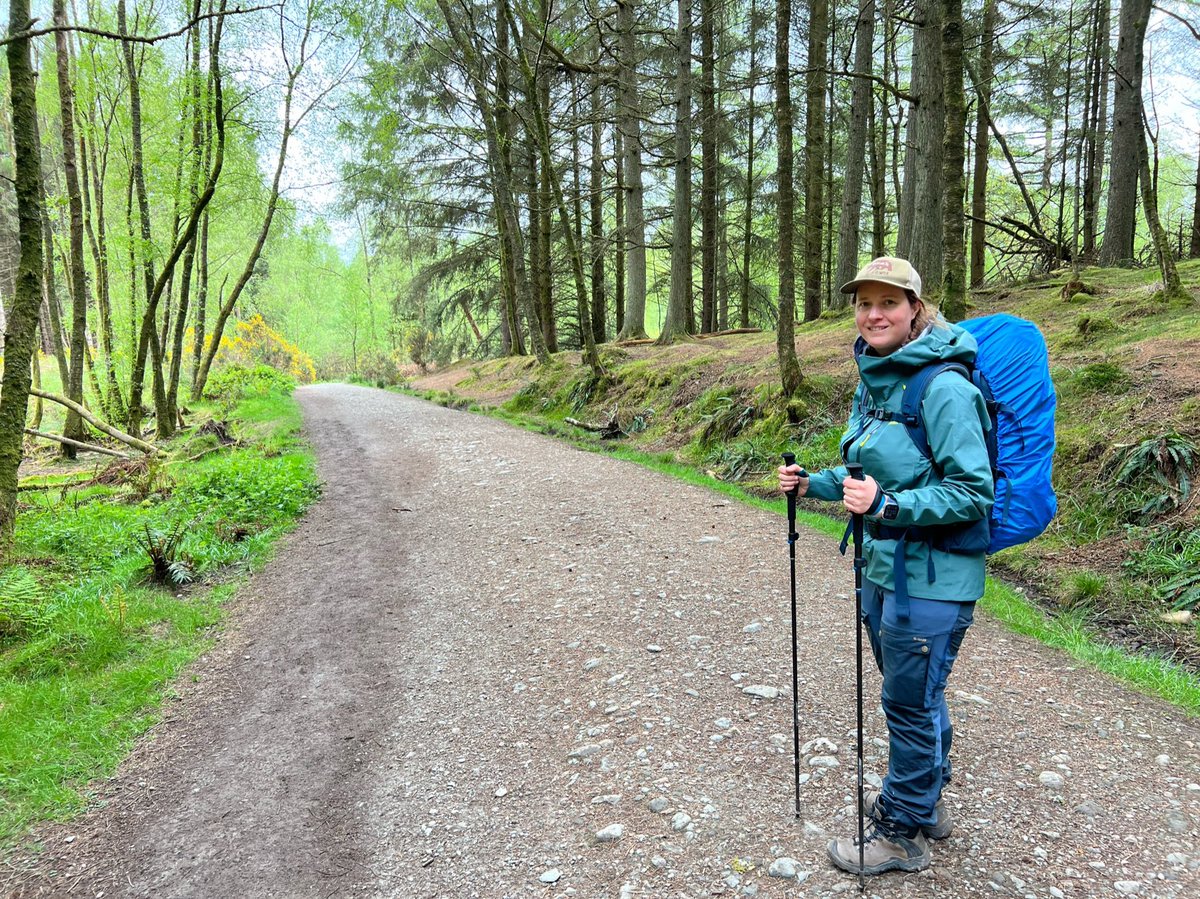
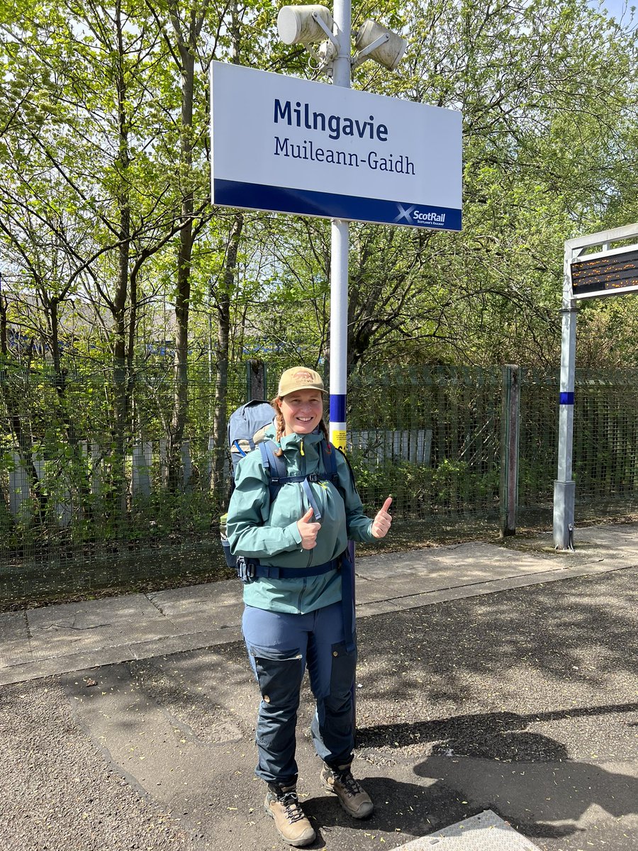
We got off the train in the early afternoon, filled with excitement - and a bit of nerves, and immediately saw signs to the start of the route 🪧 🗺


🥾 Day 1
Milngavie Station - Drymen Camping 17.8 km
We got off the train in the early afternoon, filled with excitement - and a bit of nerves, and immediately saw signs to the start of the route 🪧 🗺
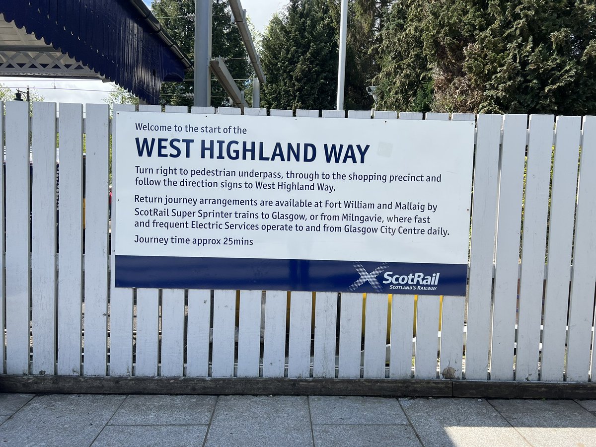
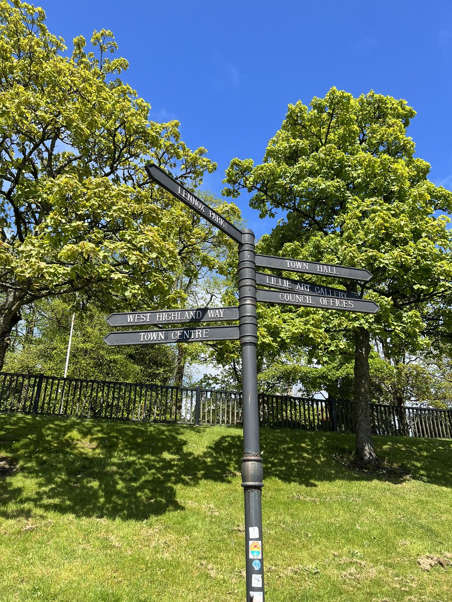
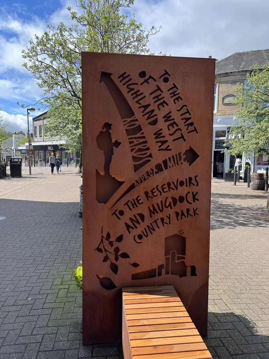
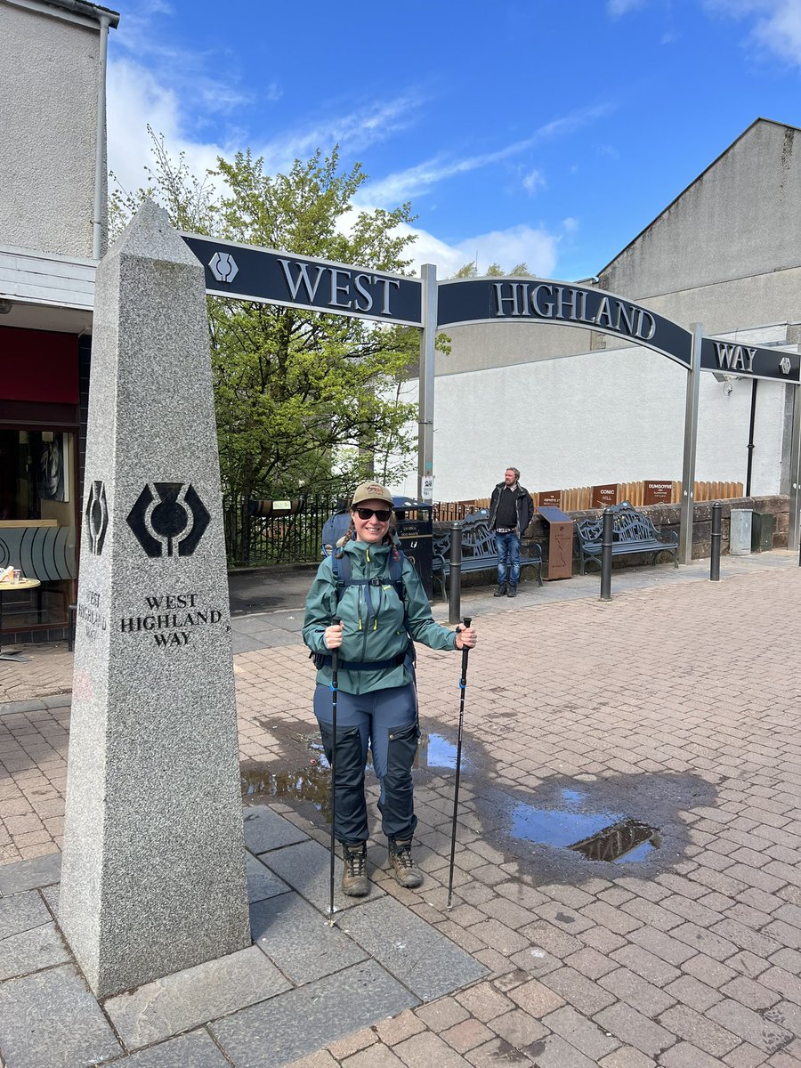
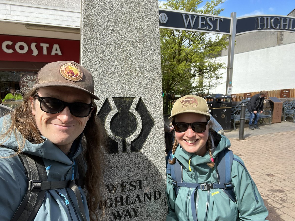
Once we reached the official starting point there was a big sign to mark it, and even though they must see so many walkers setting off every day, lots of people stopped to wish us luck on our journey 😄 One guy told me the secret is to rub Germolene on your feet each night 😆 🦶 

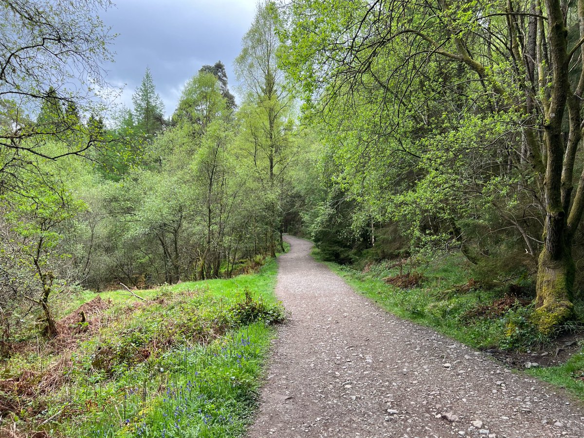
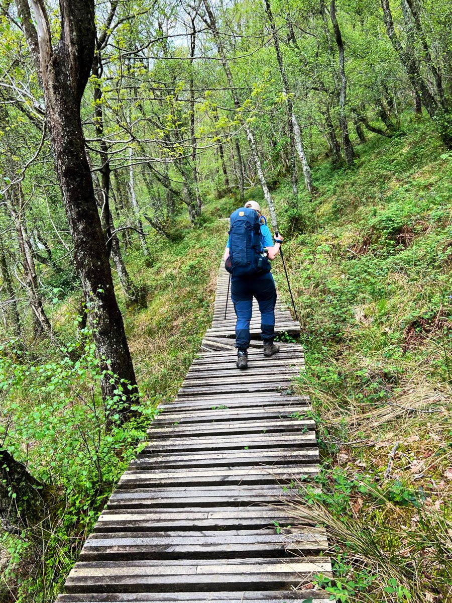
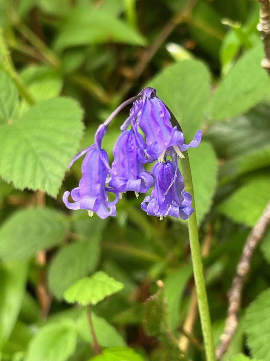
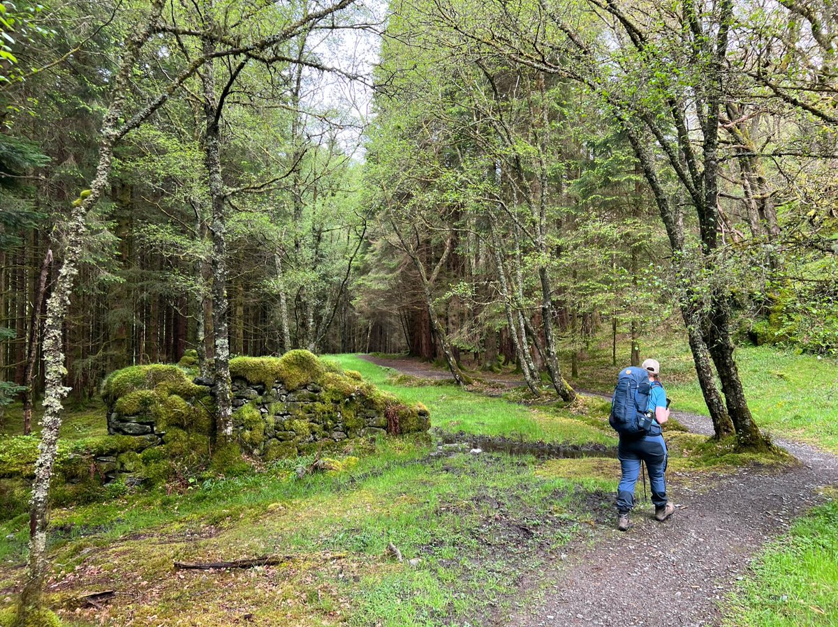
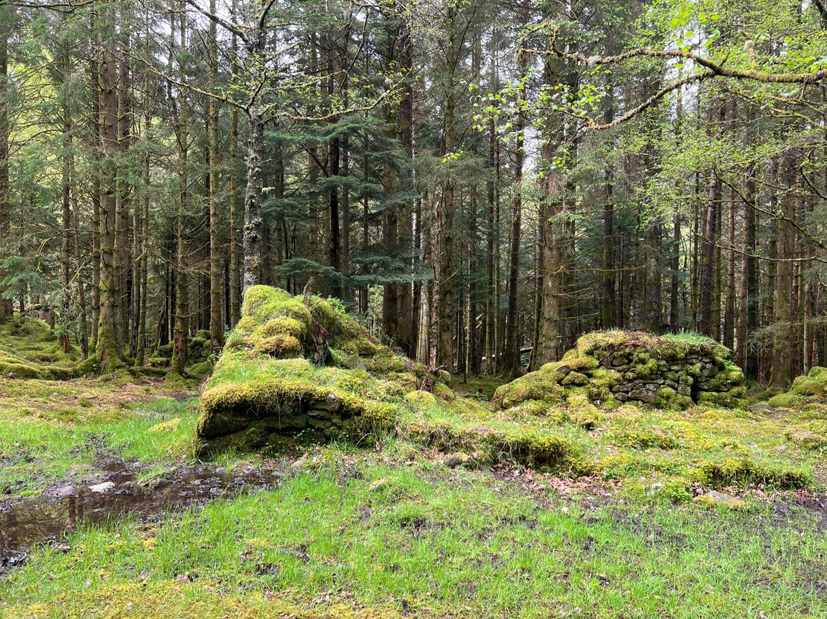
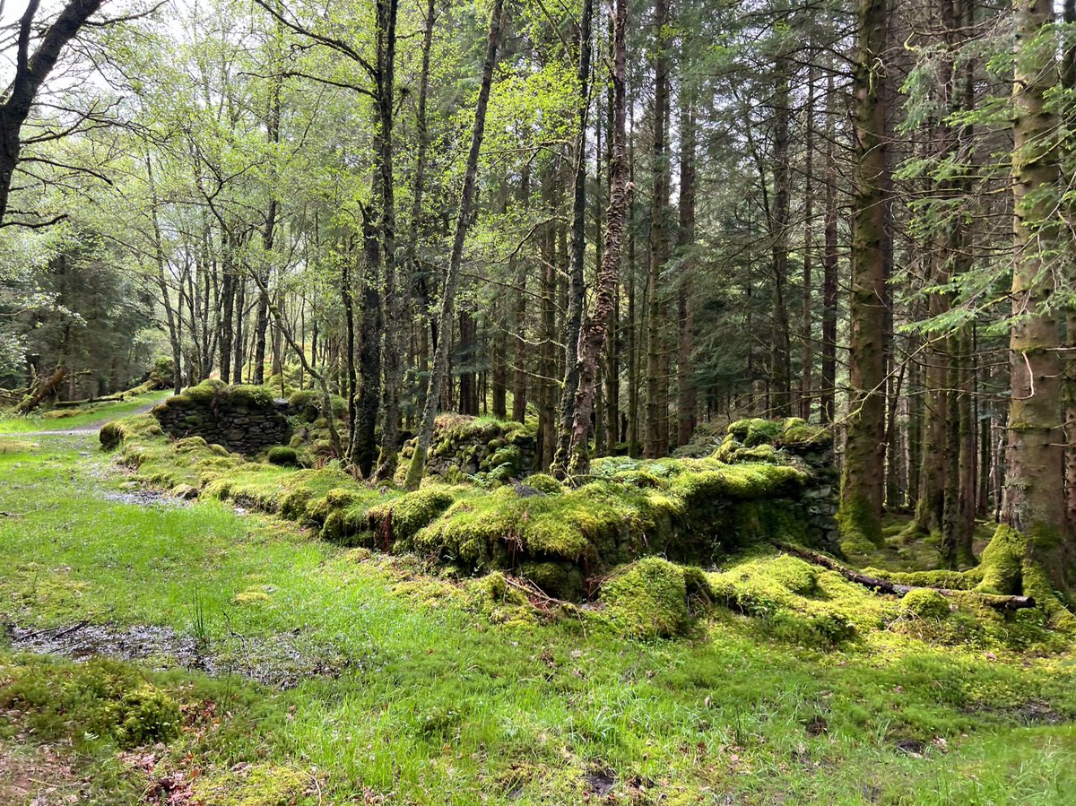
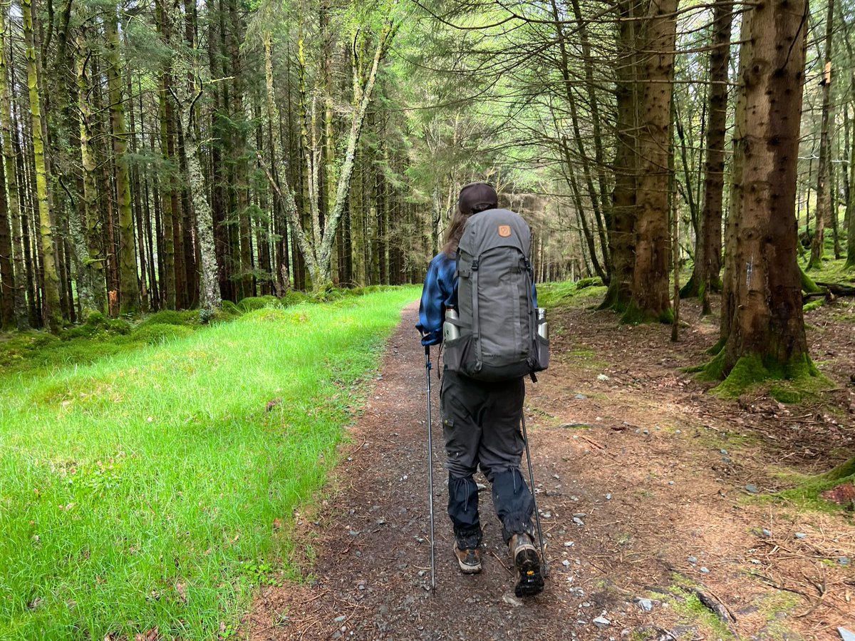
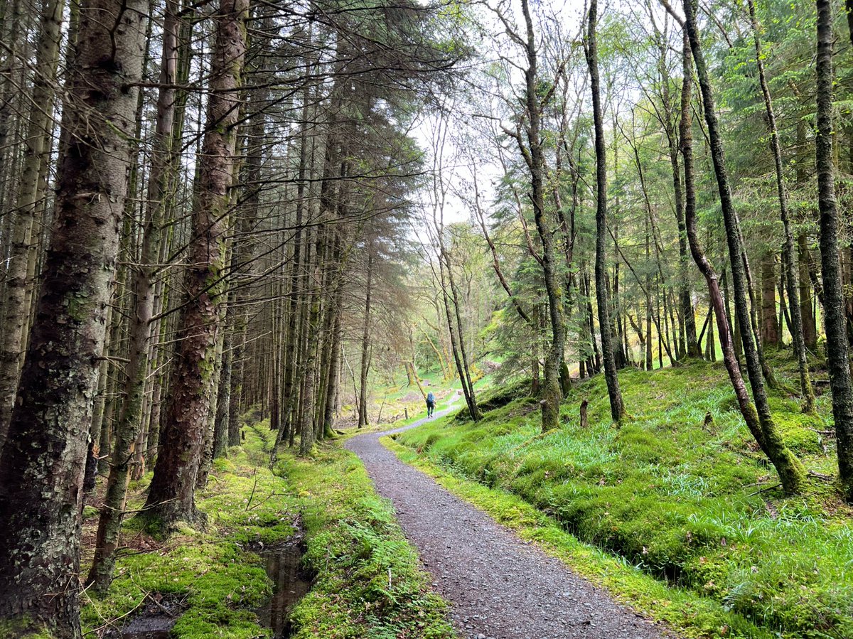
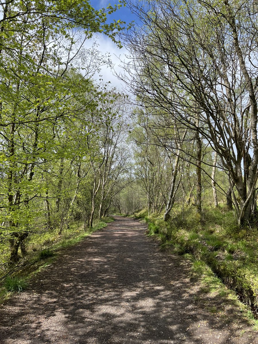
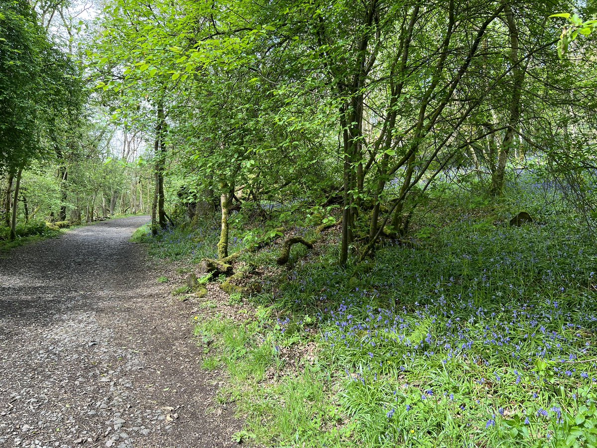
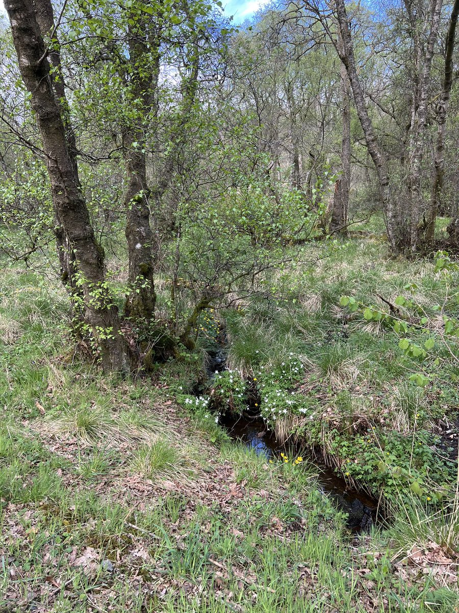
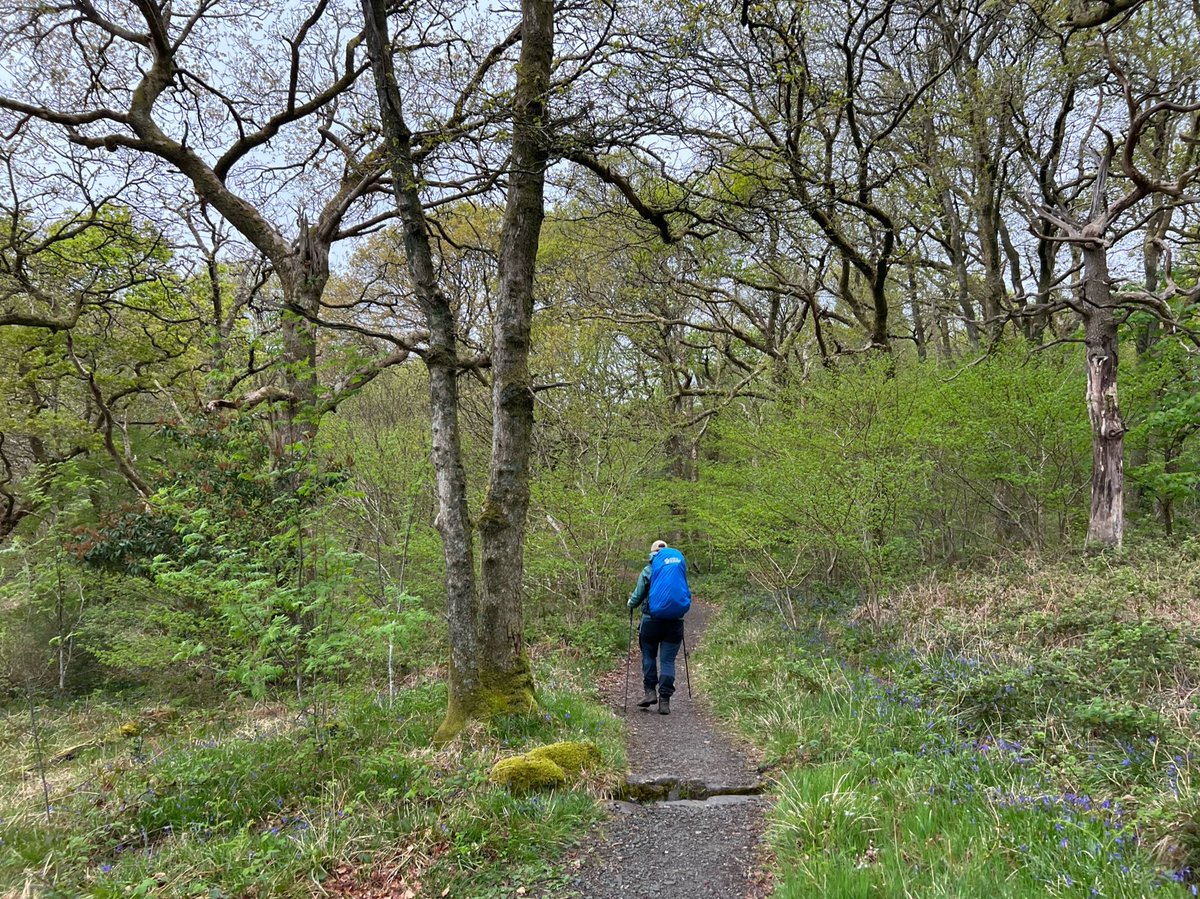
The first section goes through the beautiful Mugdock Country Park where the woods were filled with wildflowers including bluebells and wood anemones. 


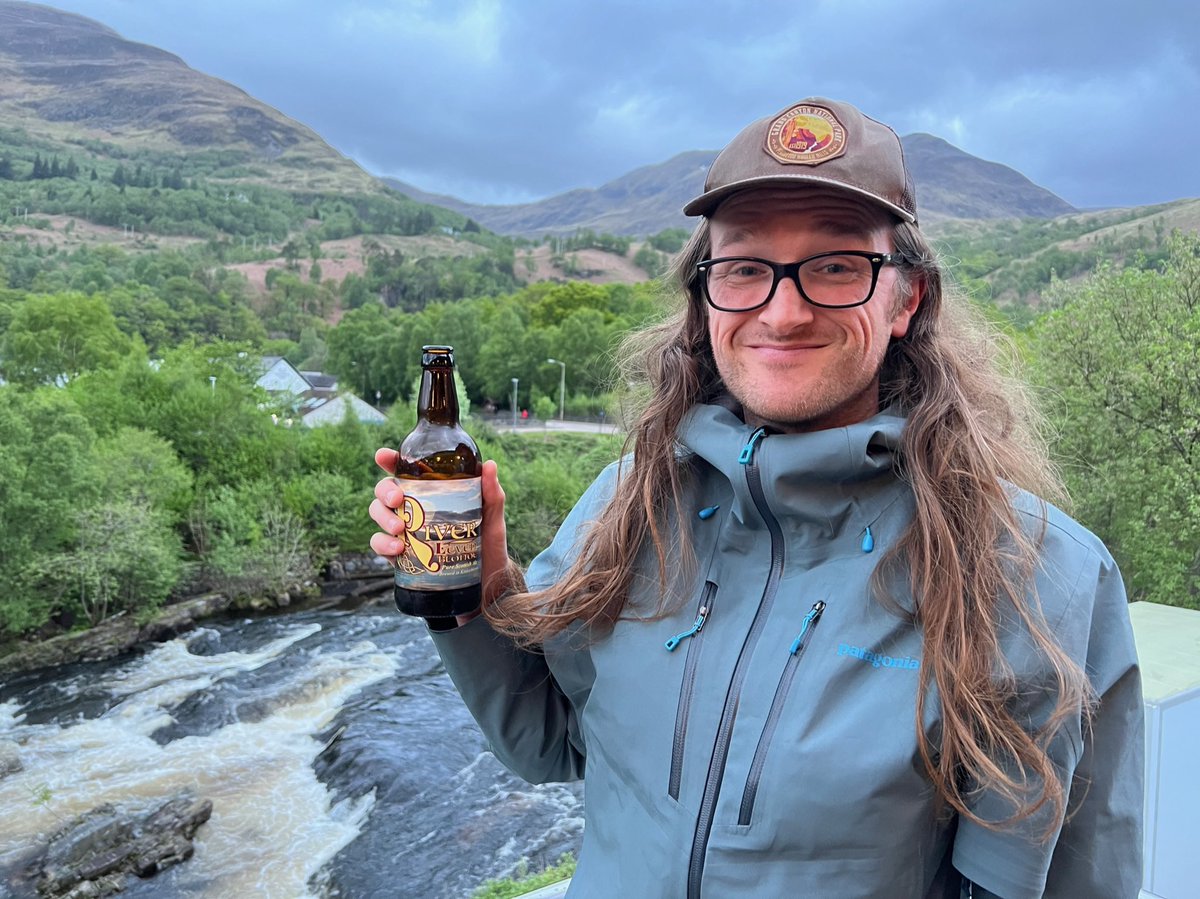
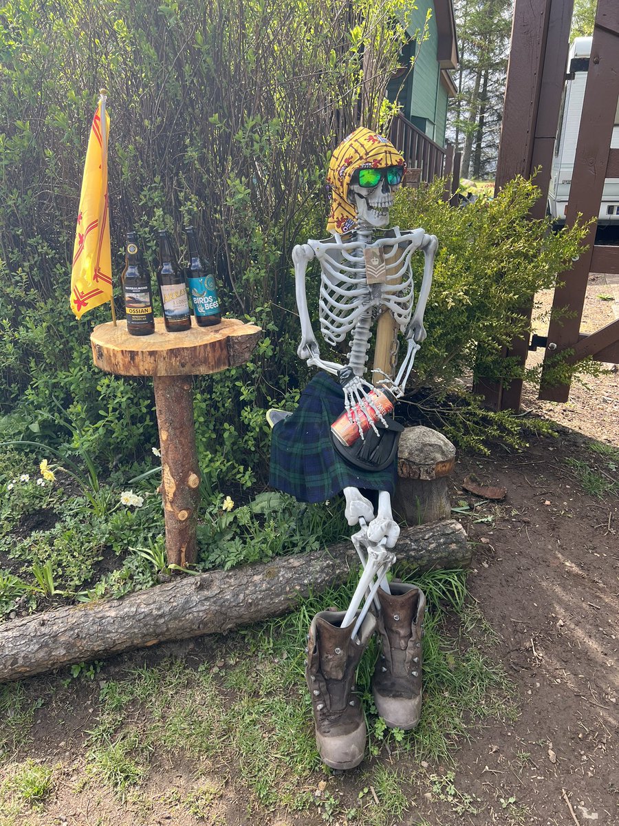
We met a couple of fellow late starter hikers on the way, one of them looked a bit worse for wear 💀 but at least he had some beer to keep him going 🍺 

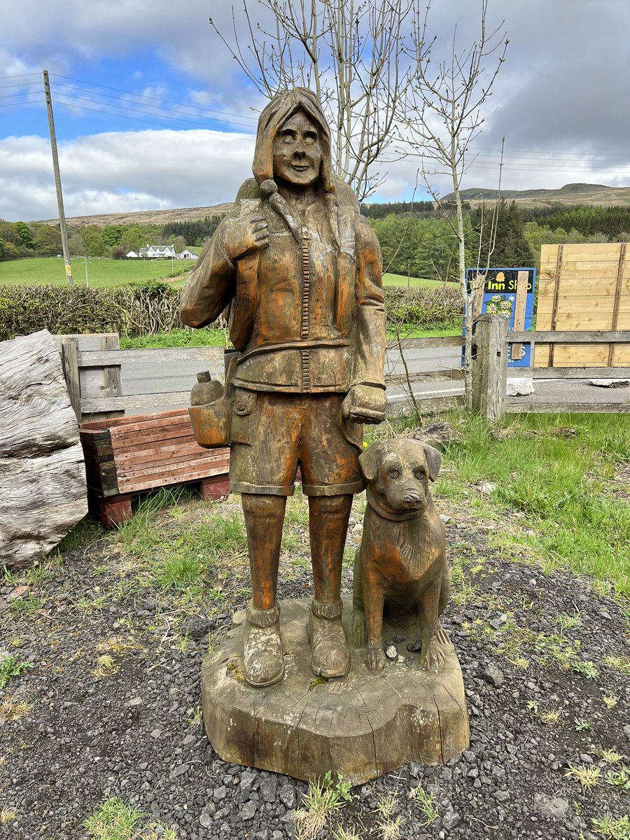
We stopped for food at a great place they told me about when I booked the campsite called Turnip the Beet, which is right on the route. They have an honesty box in a phone booth and they make homemade meals. You can eat at the tables outside or they can put the… 


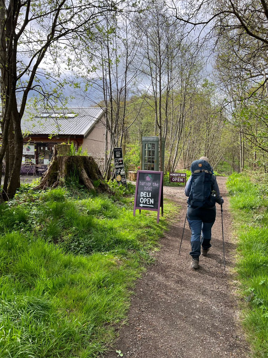
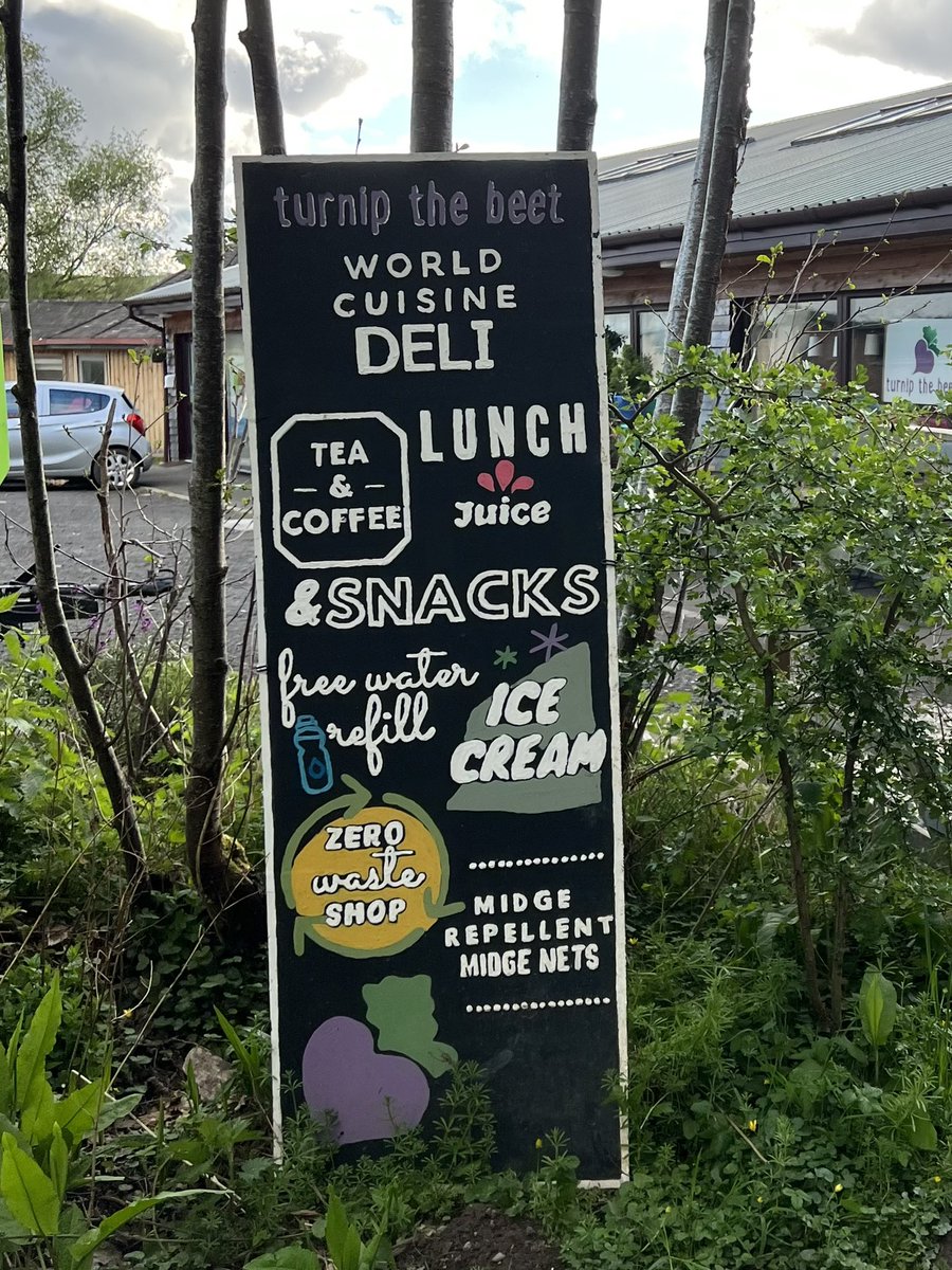
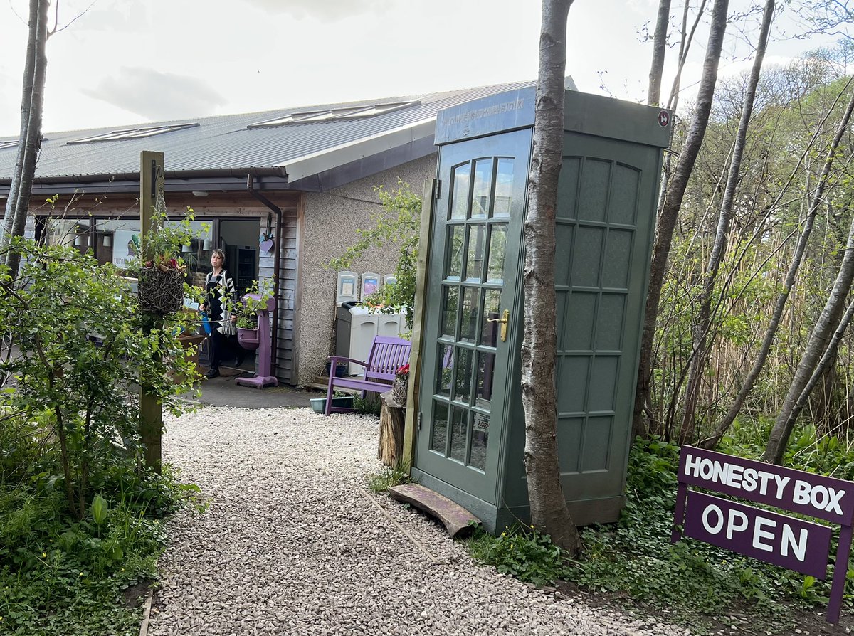
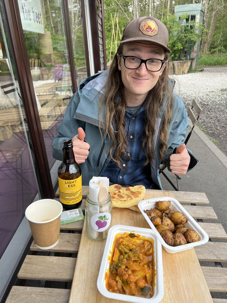
…meals into ‘boil in the bags’ for you to cook on your camp stove. We had the most delicious curry there with naan fresh out of the oven 🍛 🫓 😋 and they filled my empty flask with delicious Spanish wine for the road 🍷 The WHW was off to a great start! 😄 
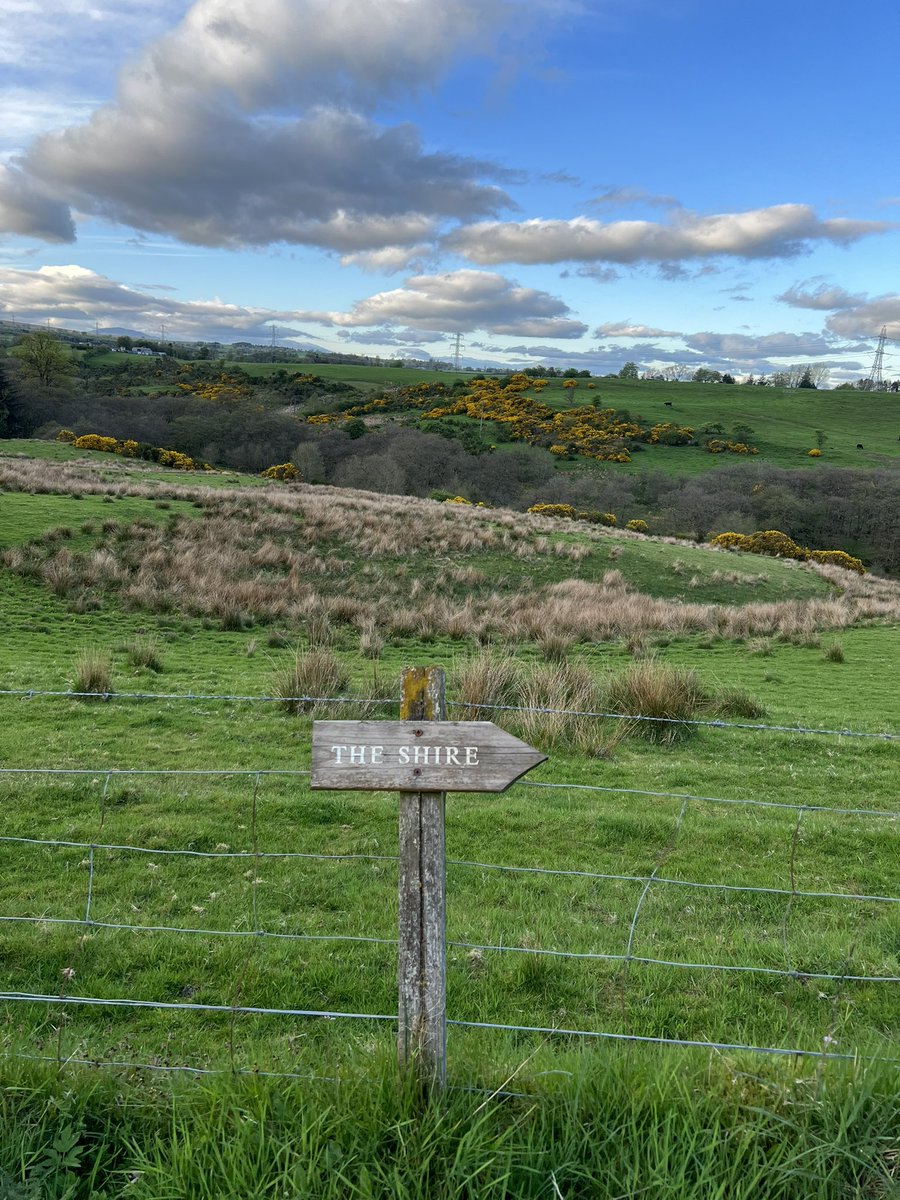
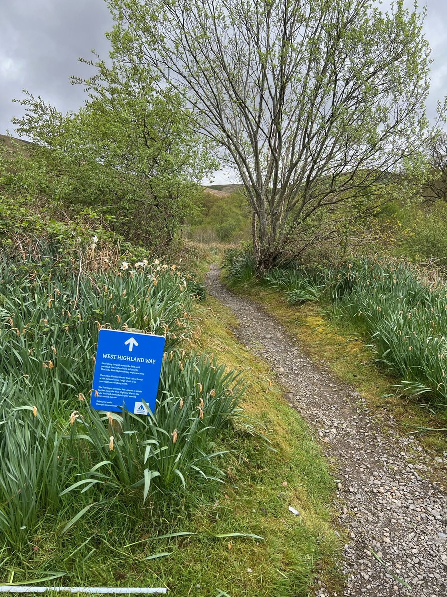
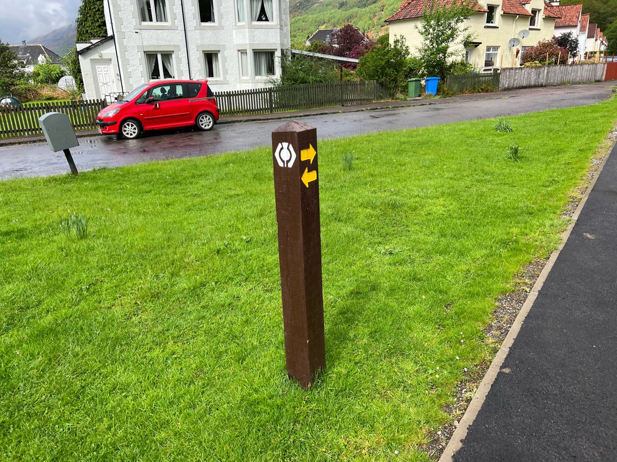
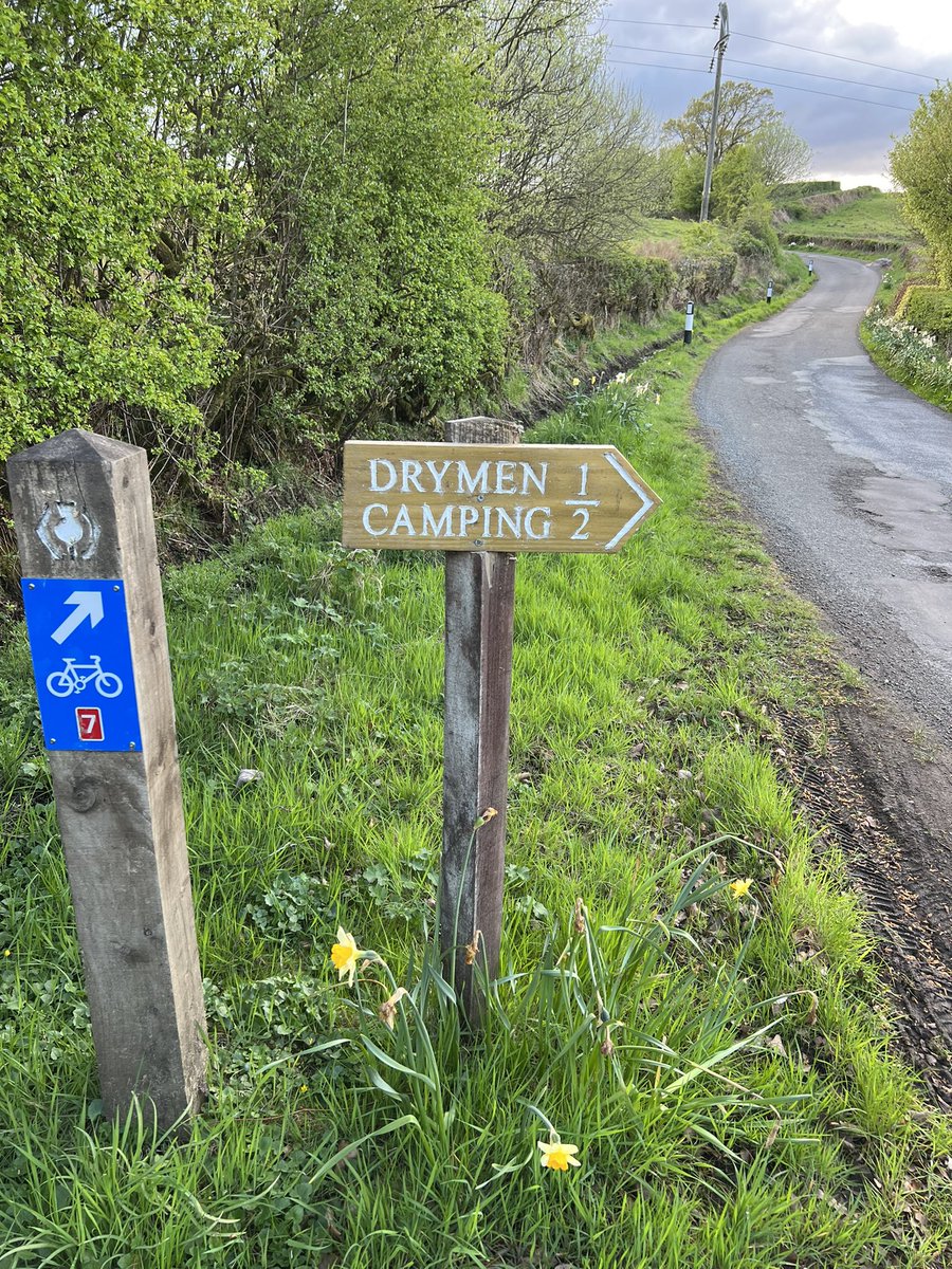
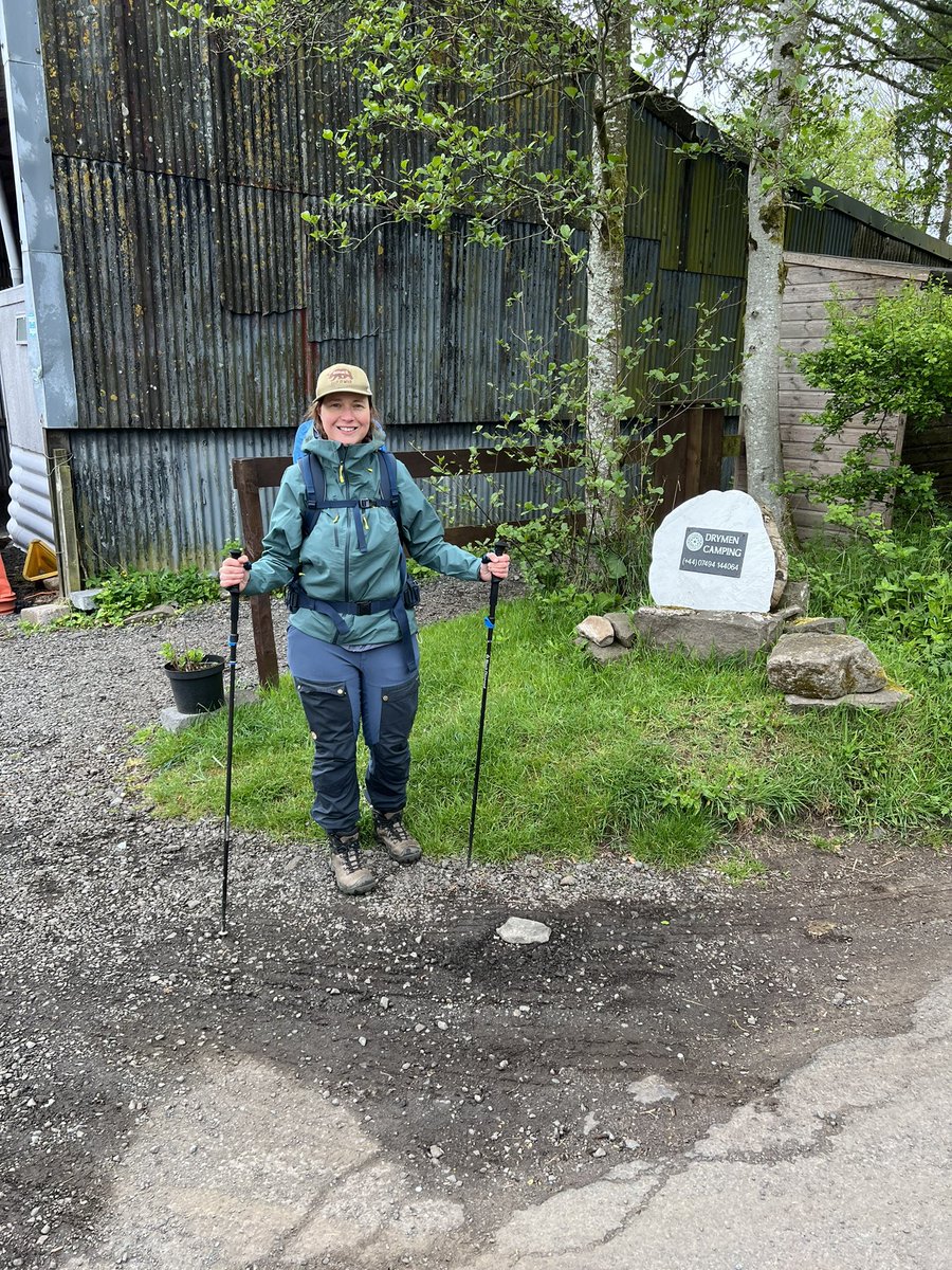
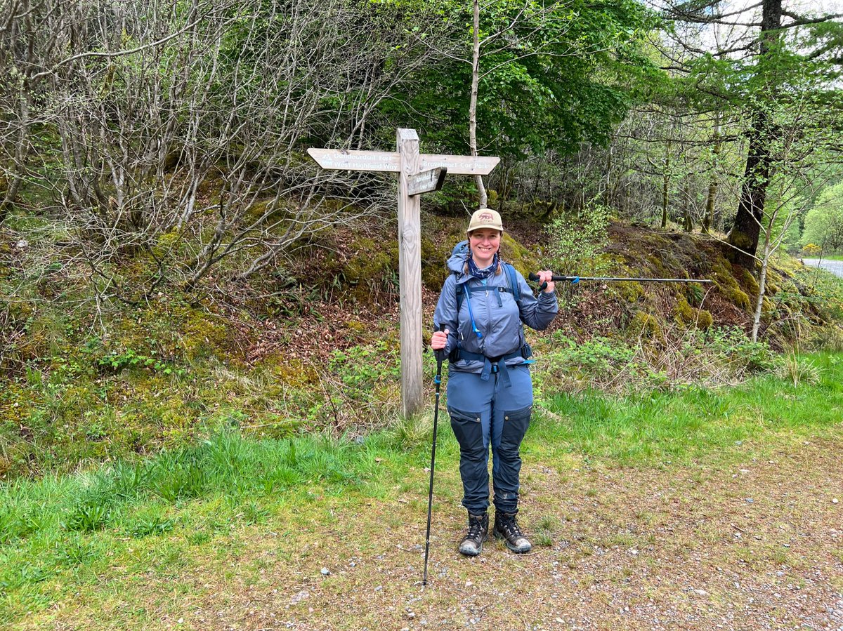
By now it was almost sunset, so we were happy to see a sign saying we were nearly at the campsite 🪧 😅 
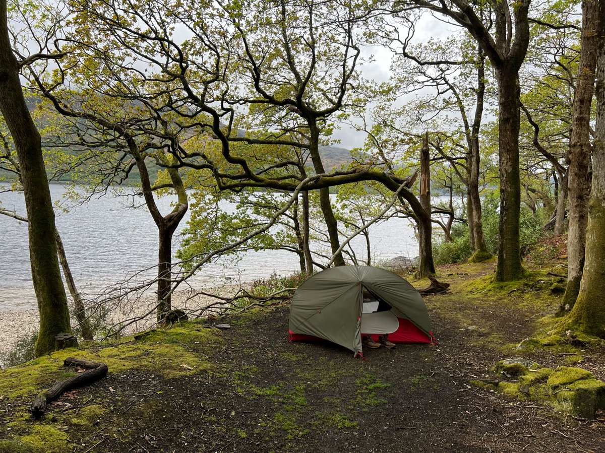
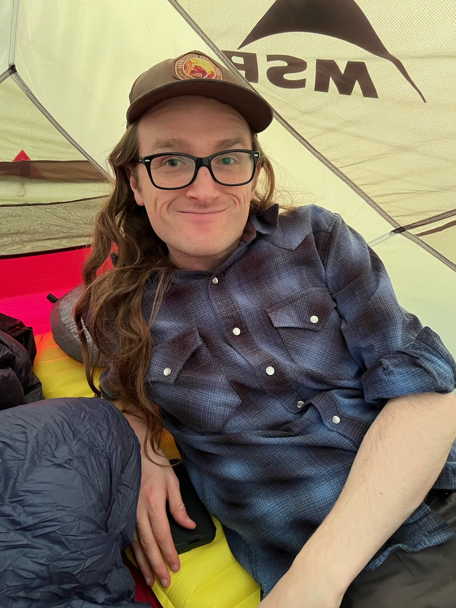
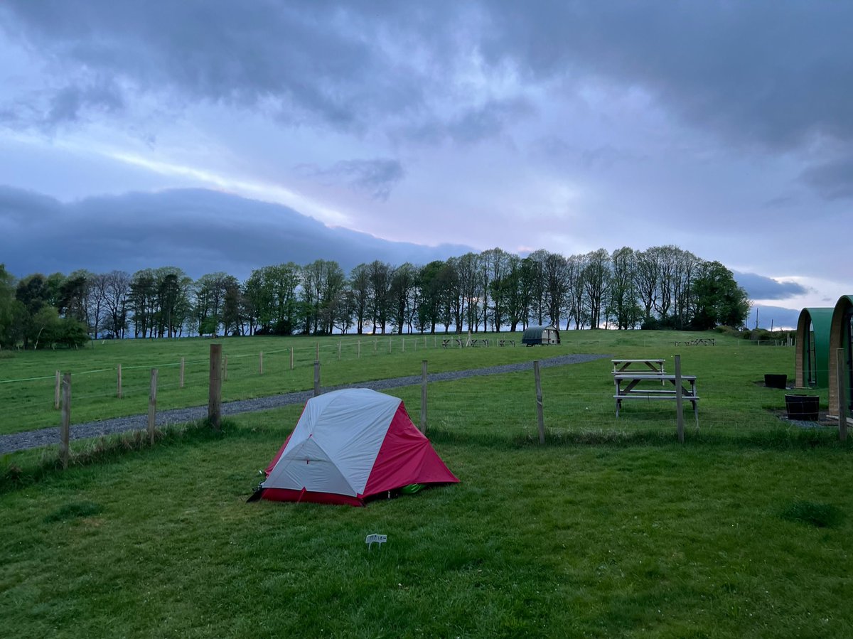
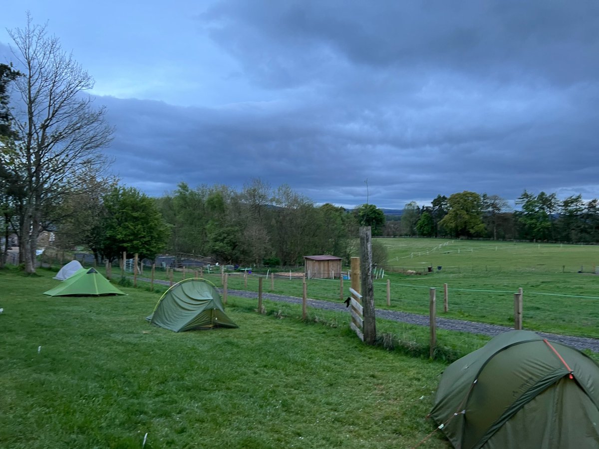
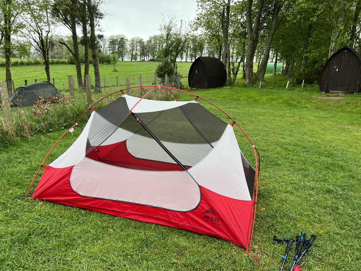
We arrived at Drymen Camping just before dark, and set up all cosy for our first night in the tent ⛺️ 🤗 


🥾 Day 2
Drymen Camping - Rowardennan Lodge 26km
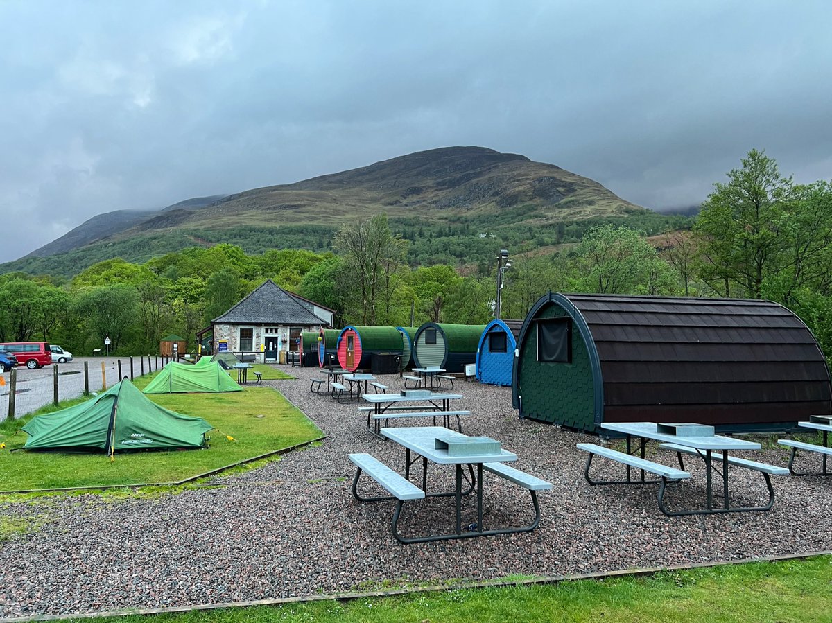
We took our tent down from its pitch amongst the hobbit huts 🛖 and were the last people to set off (start of a theme 😂) leaving the campsite after 10am, so we had the path pretty much to ourselves.

Drymen Camping - Rowardennan Lodge 26km
We took our tent down from its pitch amongst the hobbit huts 🛖 and were the last people to set off (start of a theme 😂) leaving the campsite after 10am, so we had the path pretty much to ourselves.
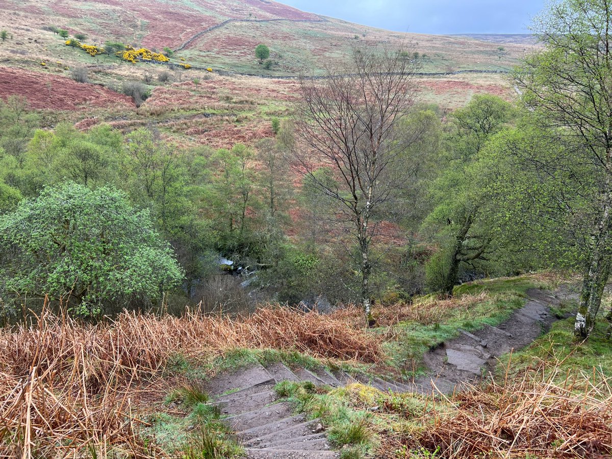
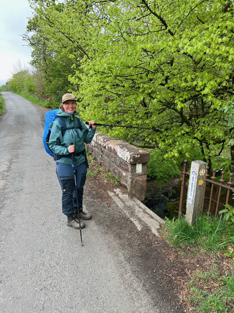
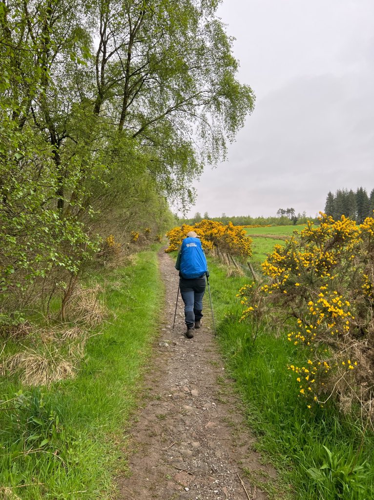
After a short section along the Old Military Road, a flight of stone steps took us onto a path through fields, hedgerows and woodland just outside Drymen village. 


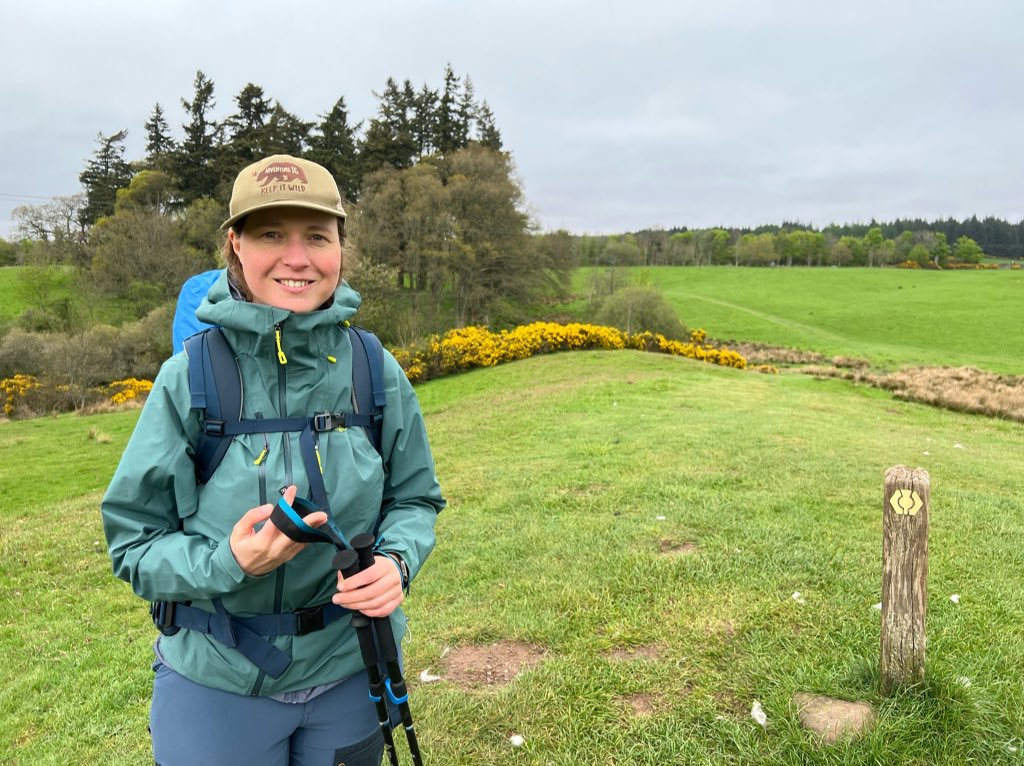
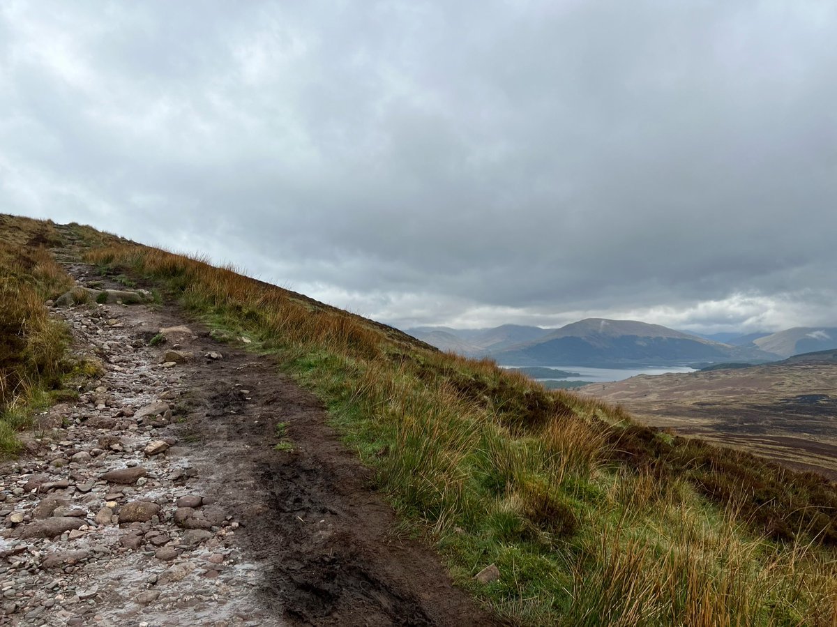
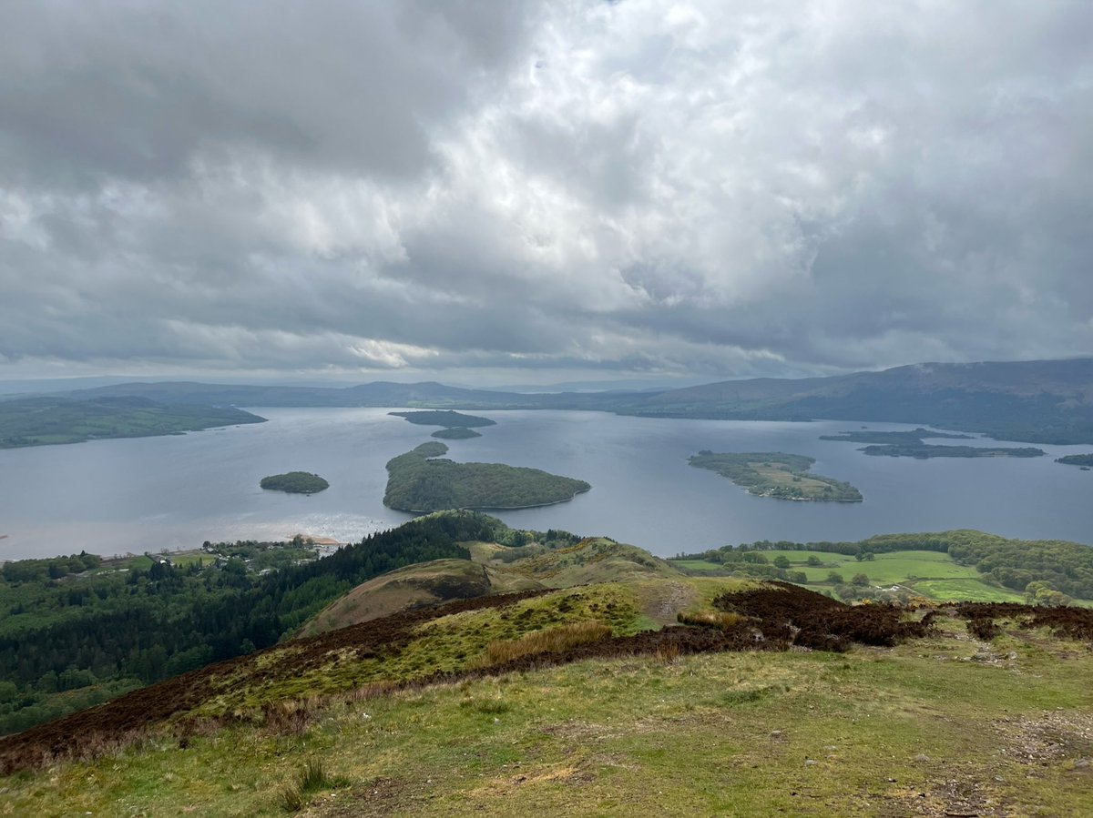
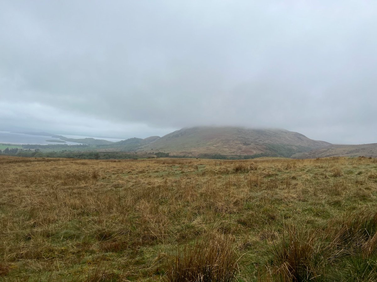
We emerged from the plantation onto open moorland and got our first glimpse of Loch Lomond by Conic Hill! The route goes over Conic Hill and we’d planned to detour to the summit but it didn’t look like we’d be getting much of a view… 

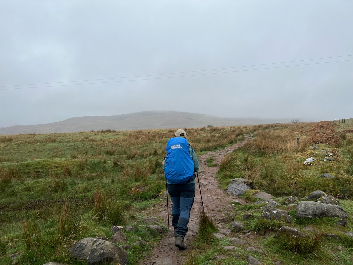
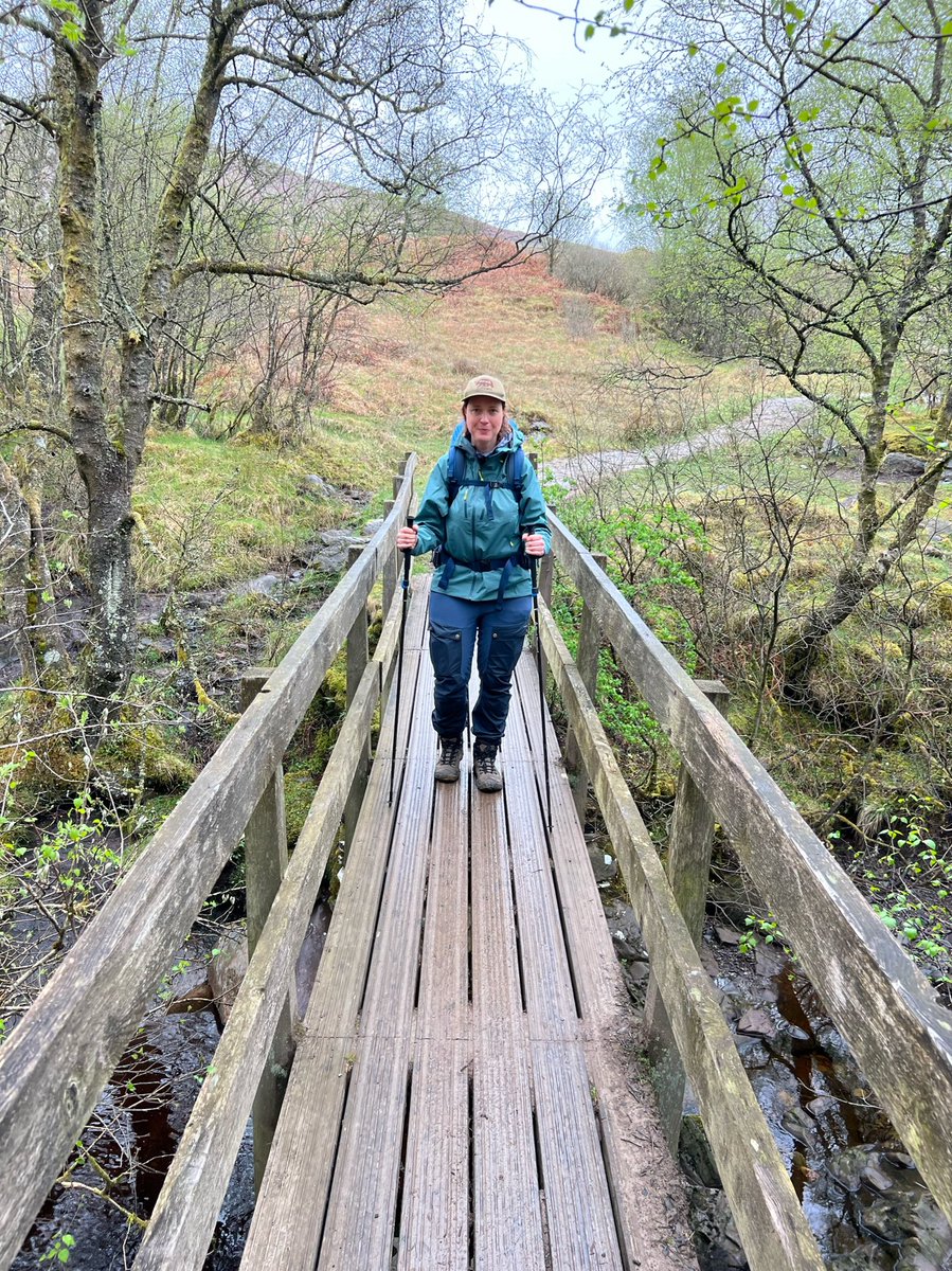
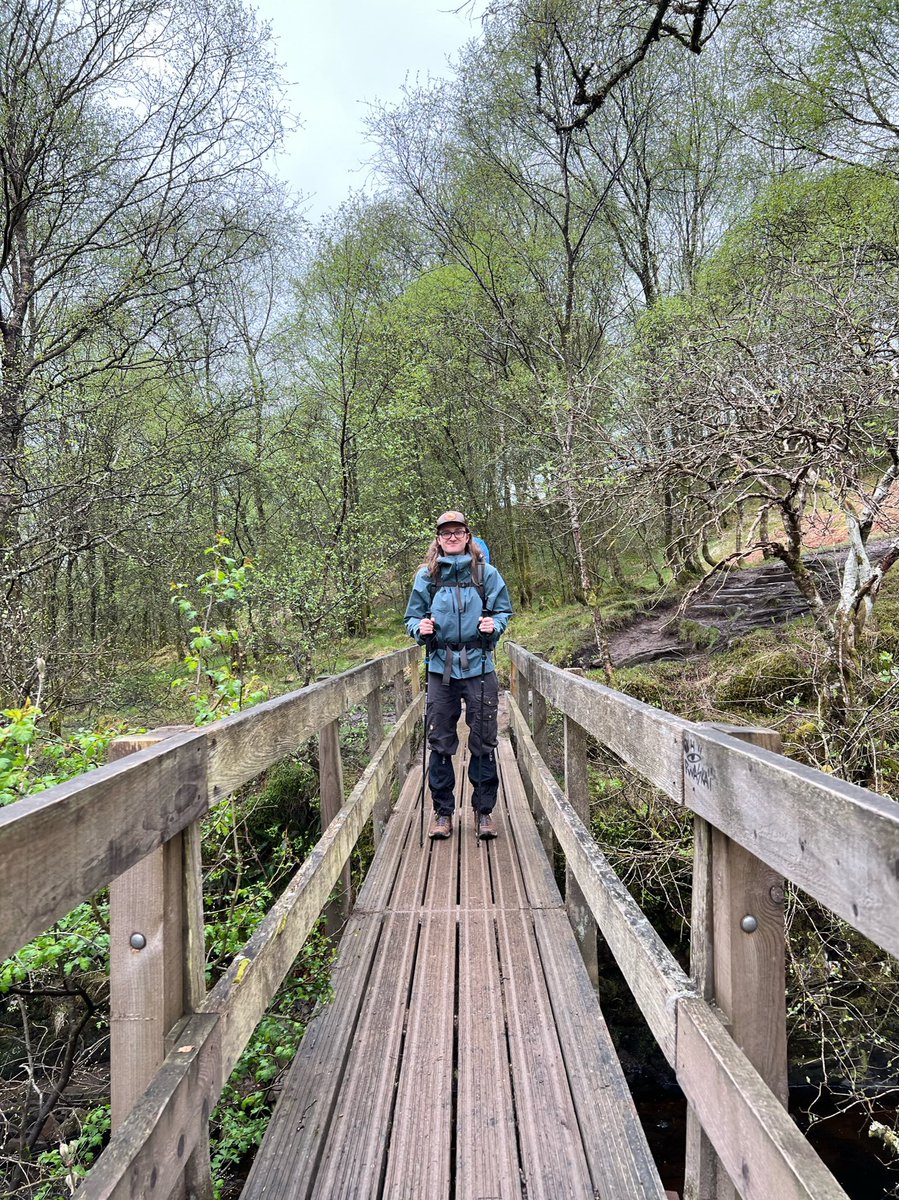
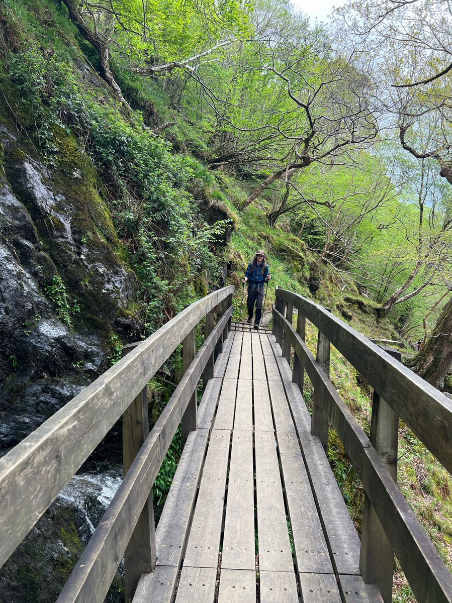
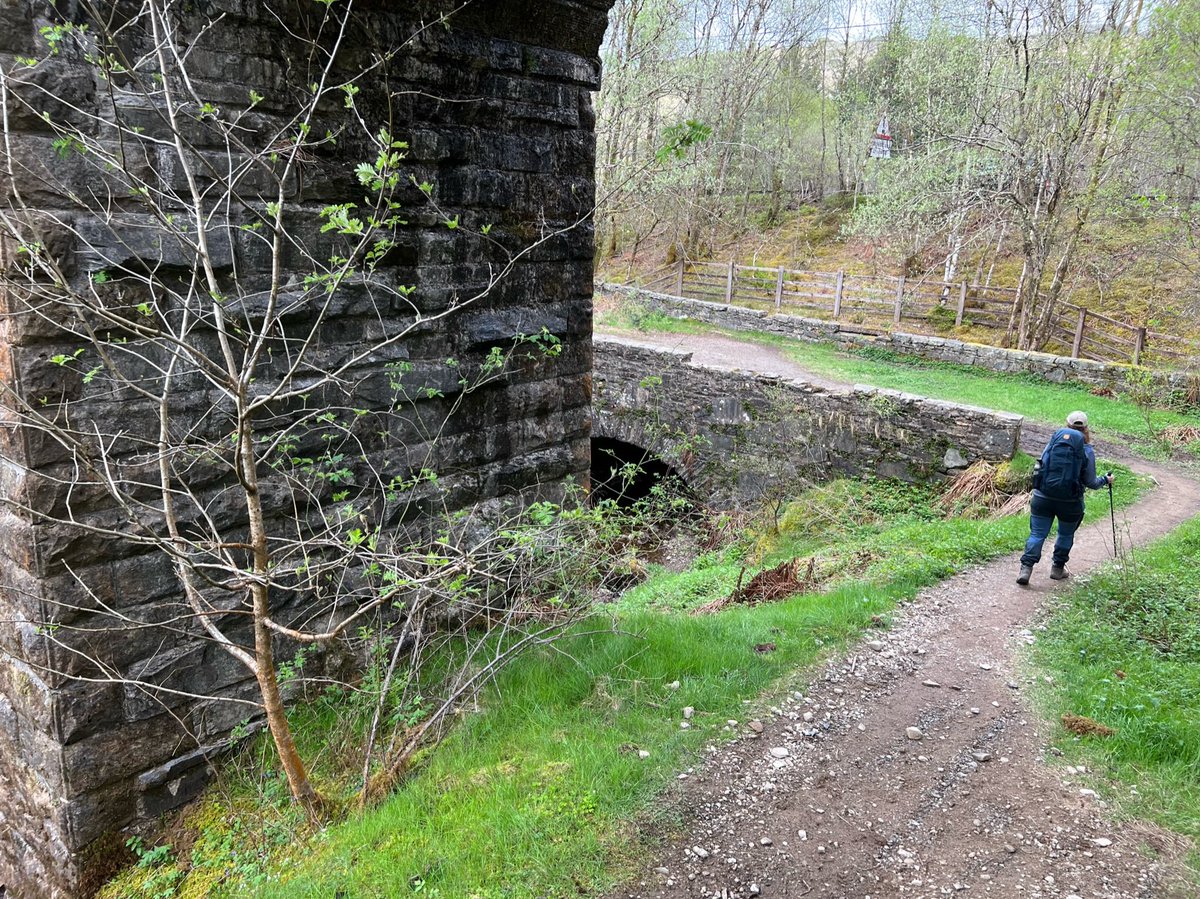
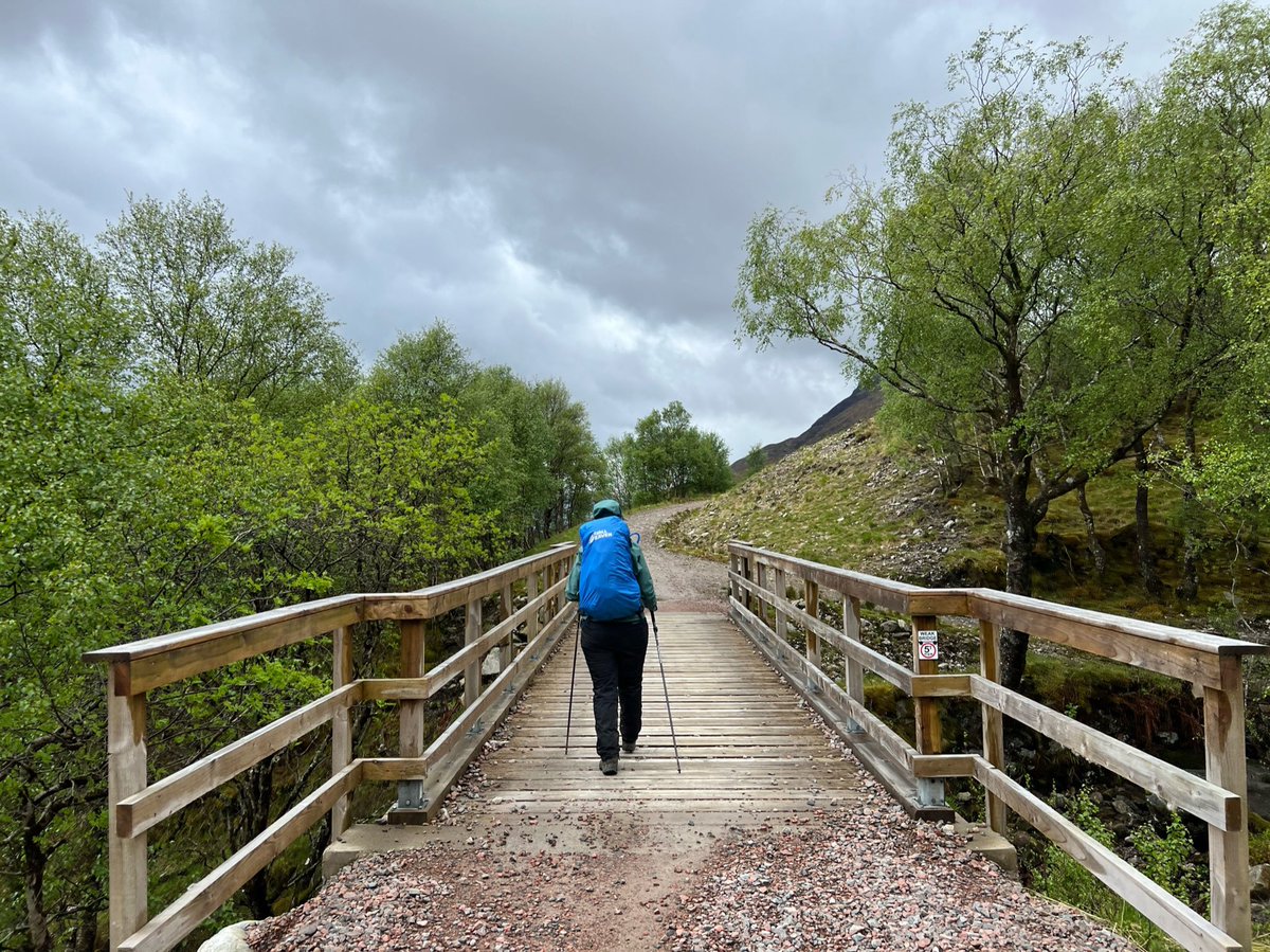
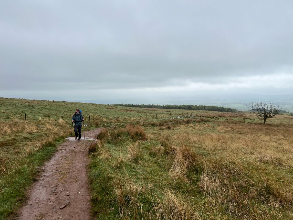
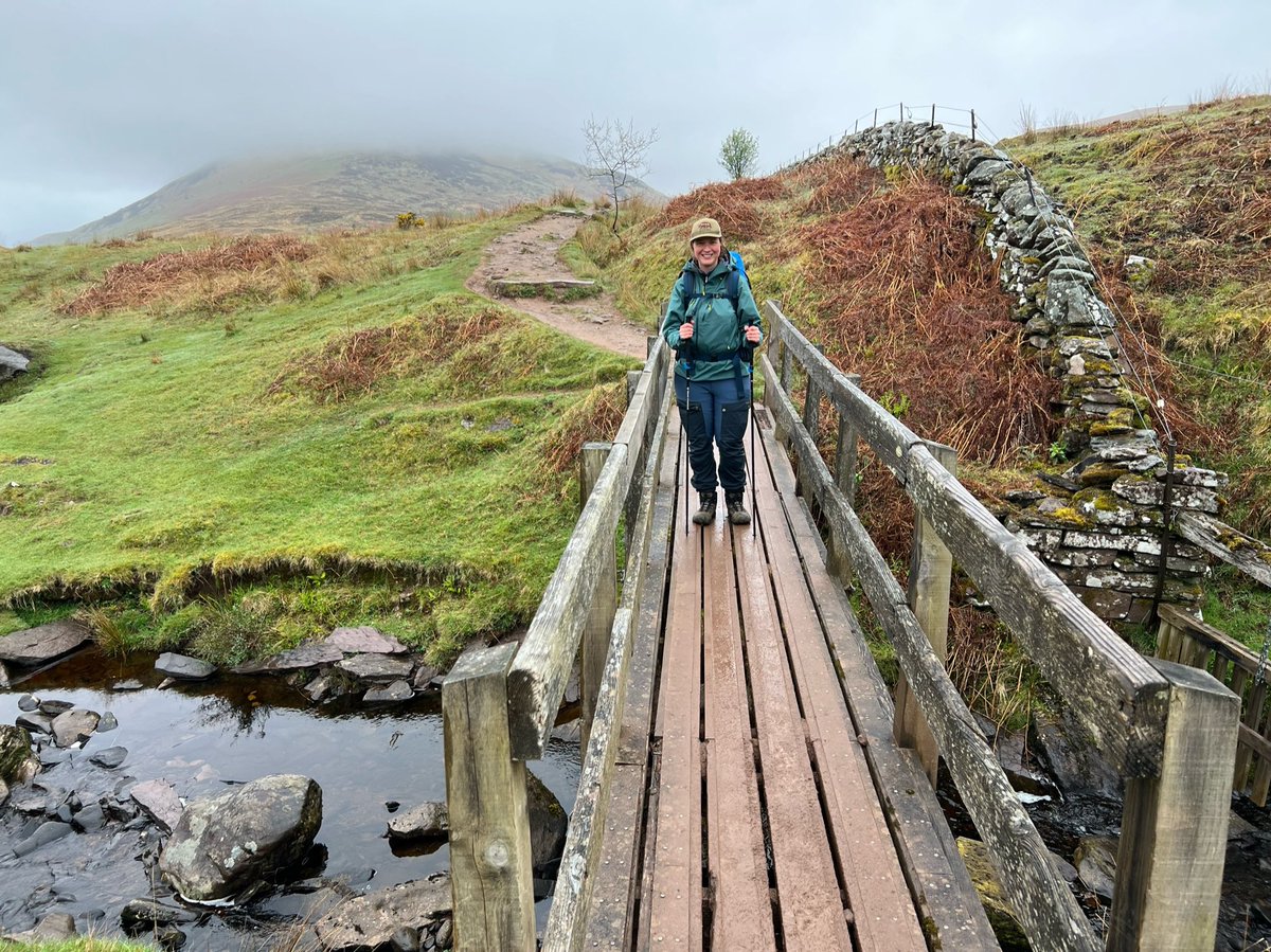
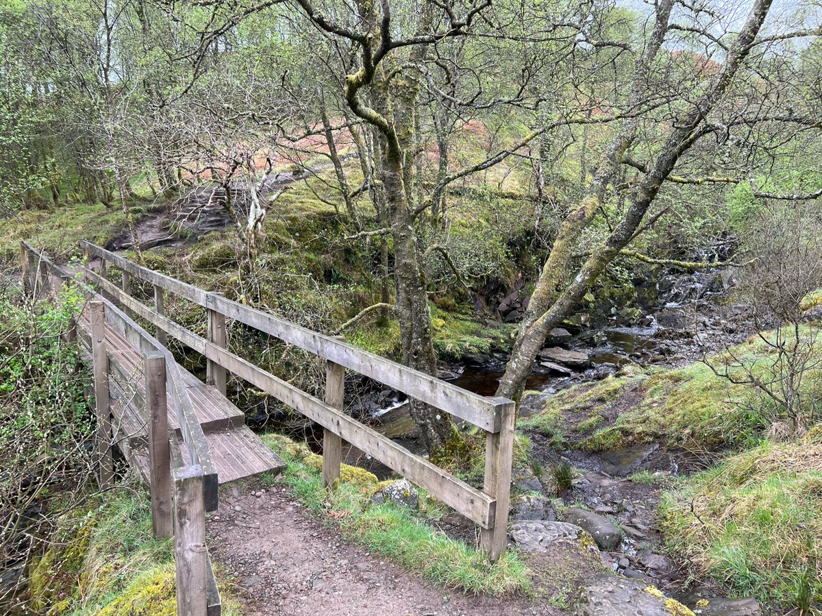
The path continues across the open moorland and crosses Kilandan Burn on a wooden footbridge. Yes I’m facing back the way we came here, but a bridge photo is obligatory right?! 

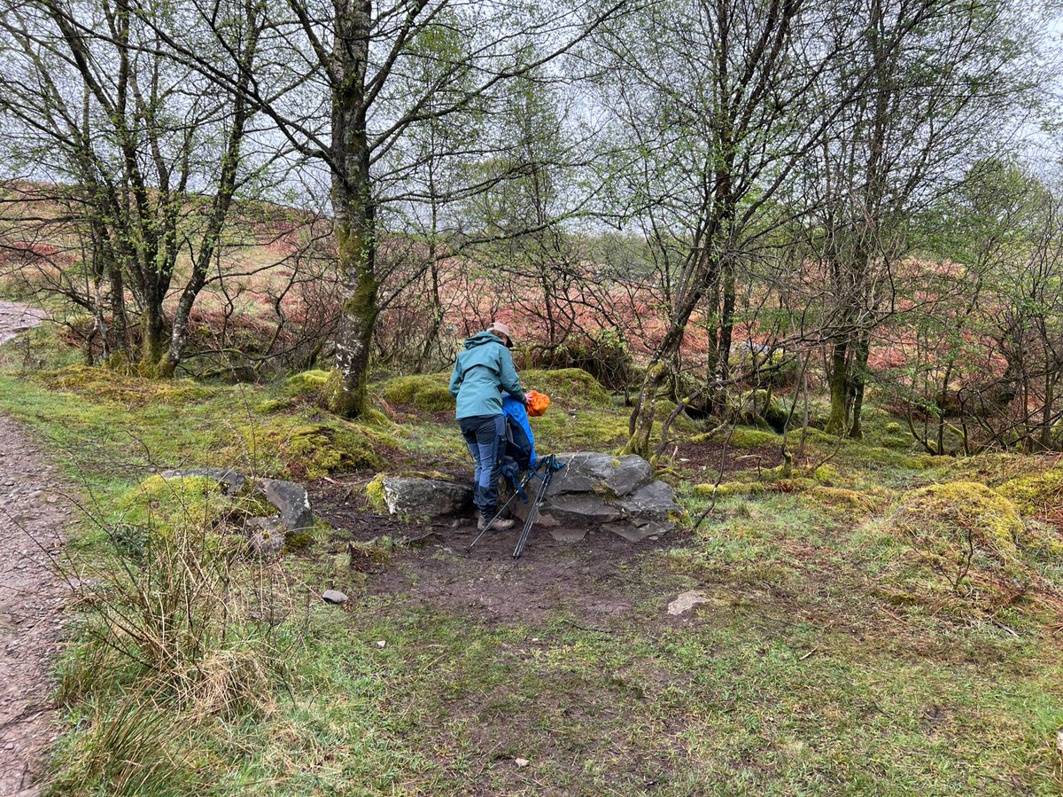
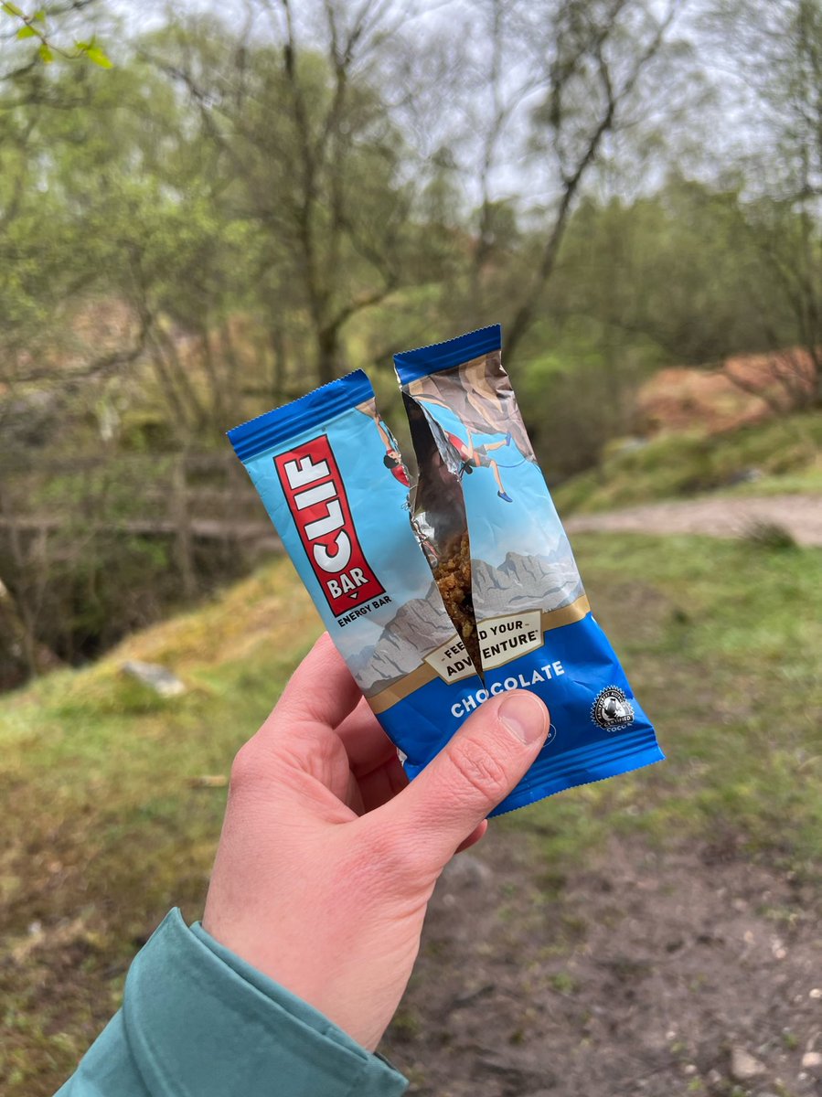
Found the perfect snack-stop-rock by the Burn of Mar to get energy for the steep ascent of Conic Hill. 


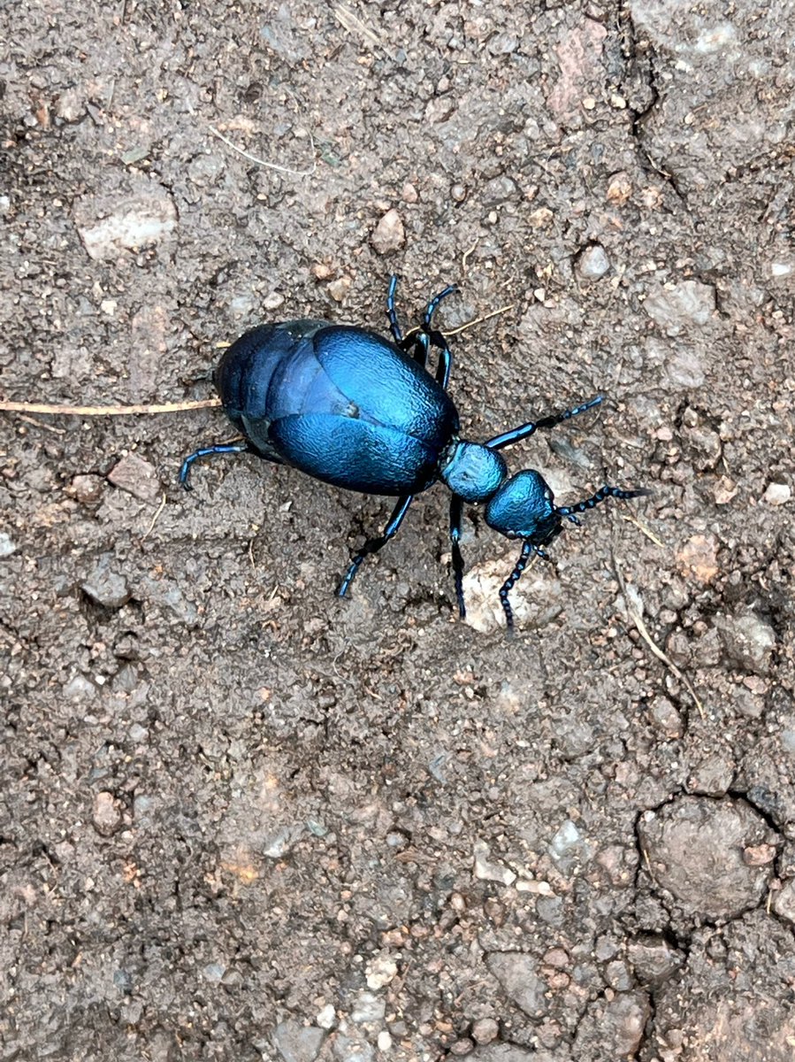
The cloud had lifted just in time for us to make a short detour to the summit! At the turn off to the summit path we saw this beautiful blue beetle who was also making its way up there. Does anyone know what it is? 
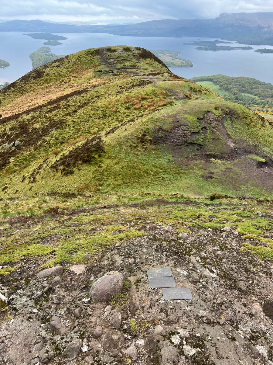
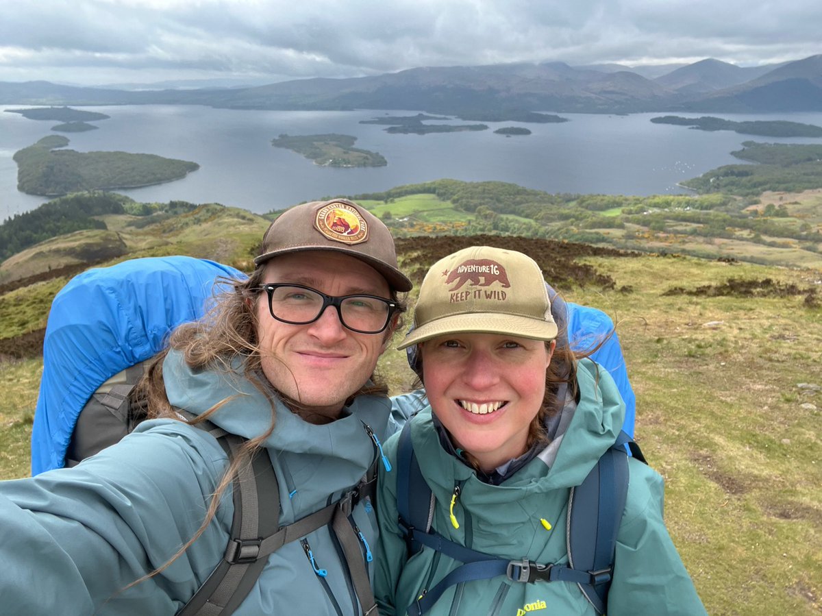
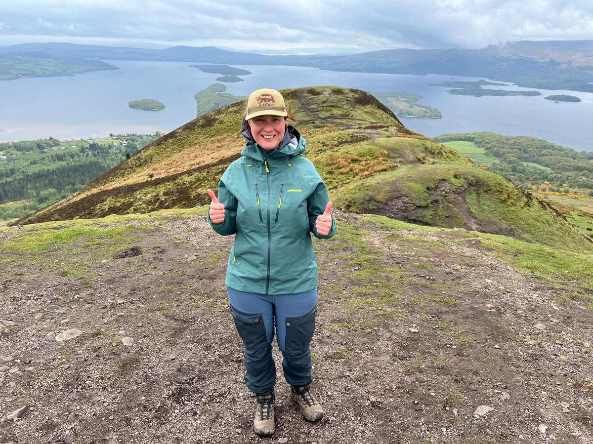
Glorious views from summit! Conic Hill is on the exact line of the Highland Boundary Fault - the string of islands across Loch Lomond and the ridge of Conic Hill are all on the fault line. 
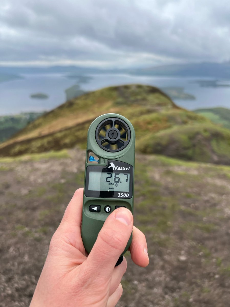
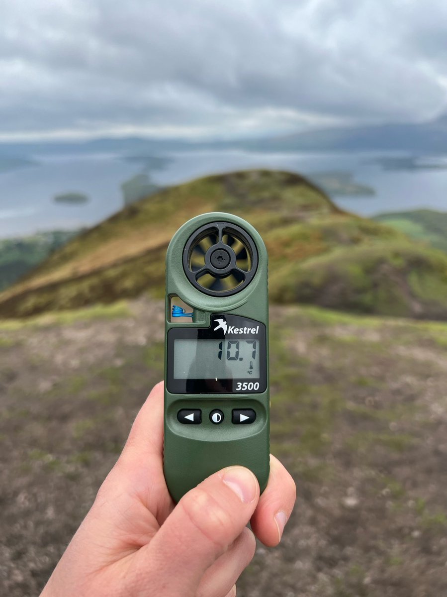
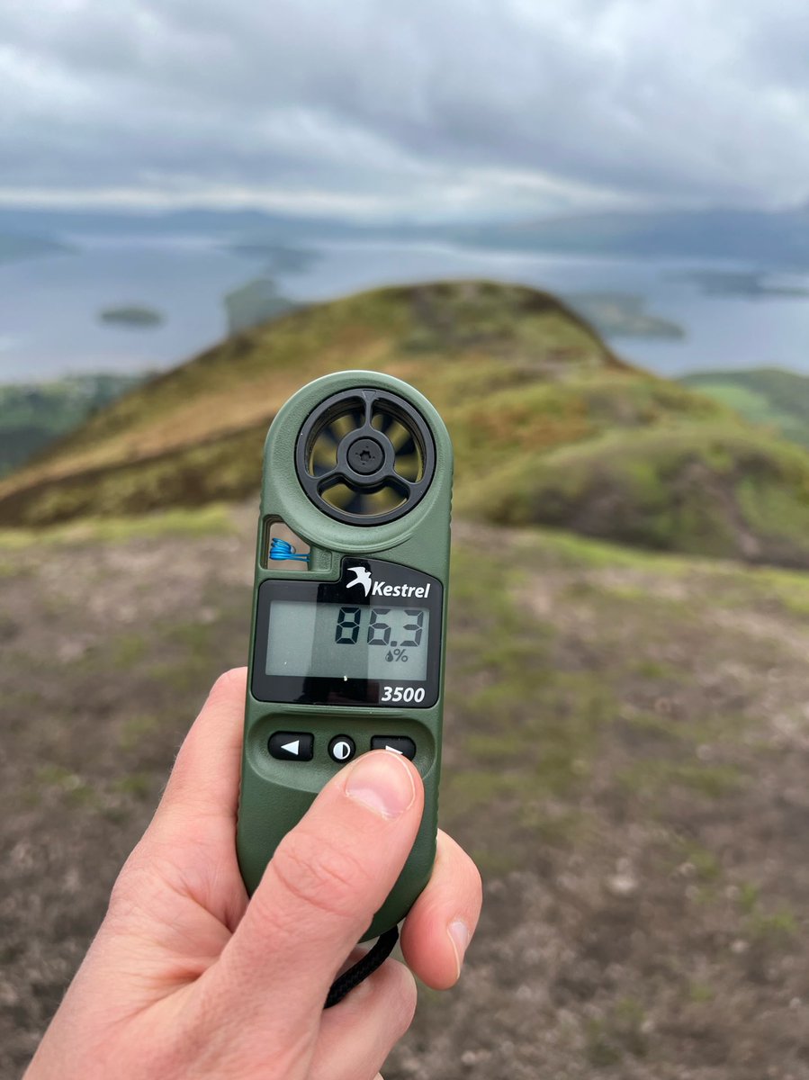
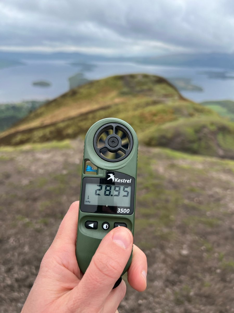
Fans of #DeeDeesWeatherReport will be pleased to know I did one at the Conic Hill summit.
📍Conic Hill, Loch Lomond and The Trossachs National Park, Scotland, UK
📆 05/05/22
🕝 14:30
💨 26.7 km/h max
🌡 10.7c
💧 86.3%
⬇️ 28.95 inHg


📍Conic Hill, Loch Lomond and The Trossachs National Park, Scotland, UK
📆 05/05/22
🕝 14:30
💨 26.7 km/h max
🌡 10.7c
💧 86.3%
⬇️ 28.95 inHg
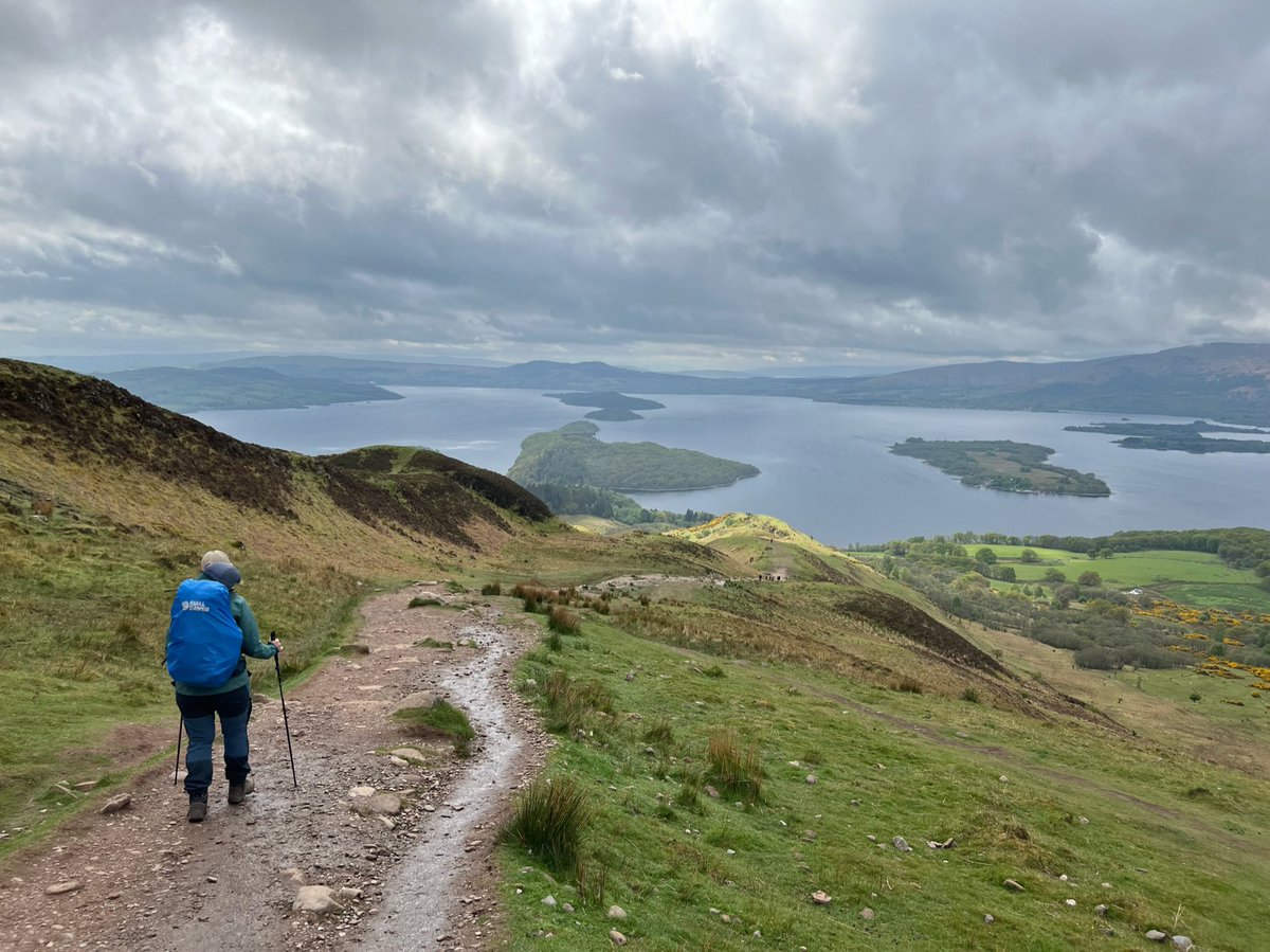
We left the summit to re-join the WHW for the descent to Balmaha, enjoying dramatic views on the way. 
Once we reached Balmaha we saw a worrying sign warning about bears ahead. Much as we wanted to push on, we thought it was sensible to take the local advice to get pub grub and pints instead… 
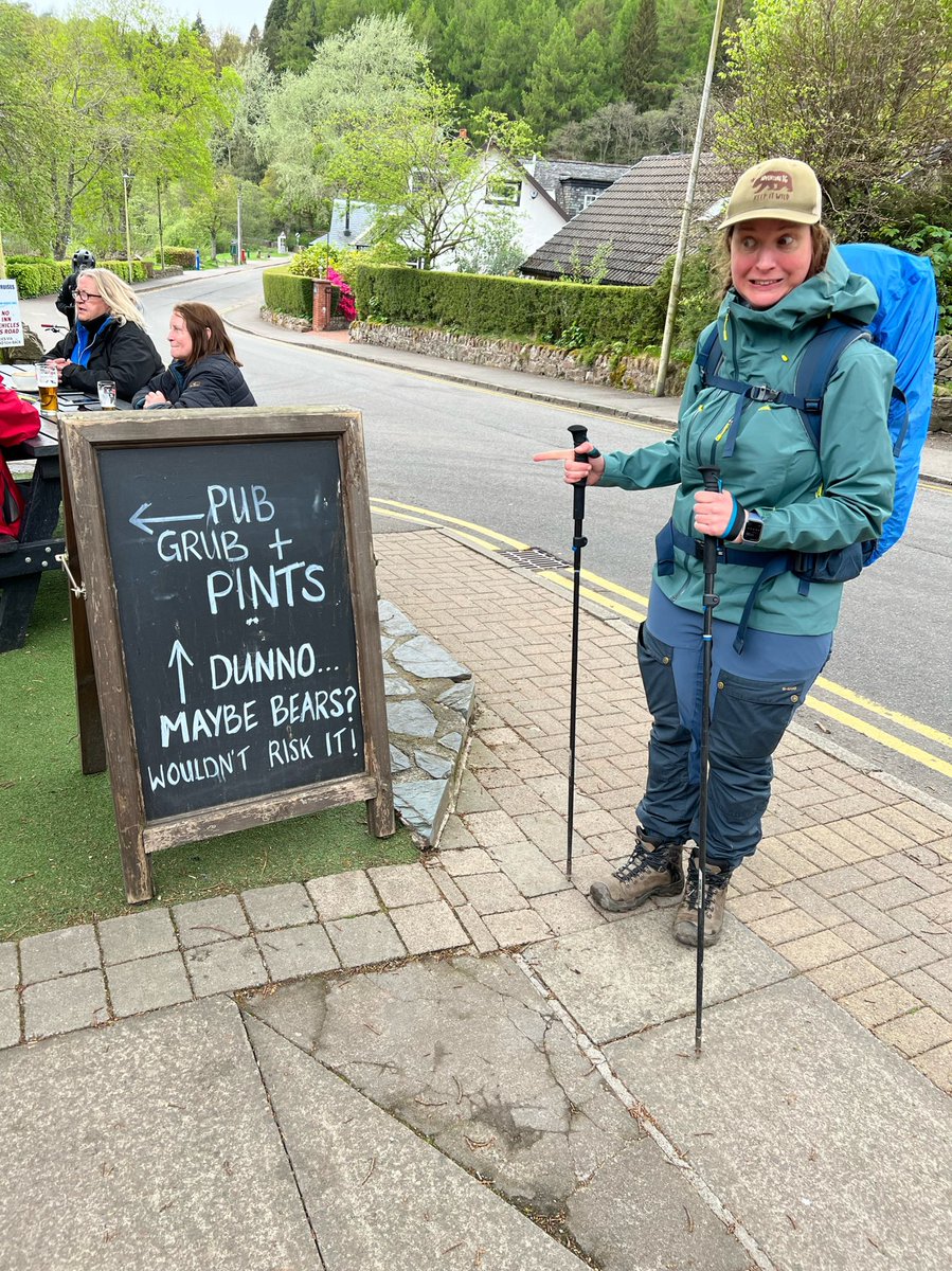
…especially as the @oaktreebalmaha is one of our favourite pubs! 
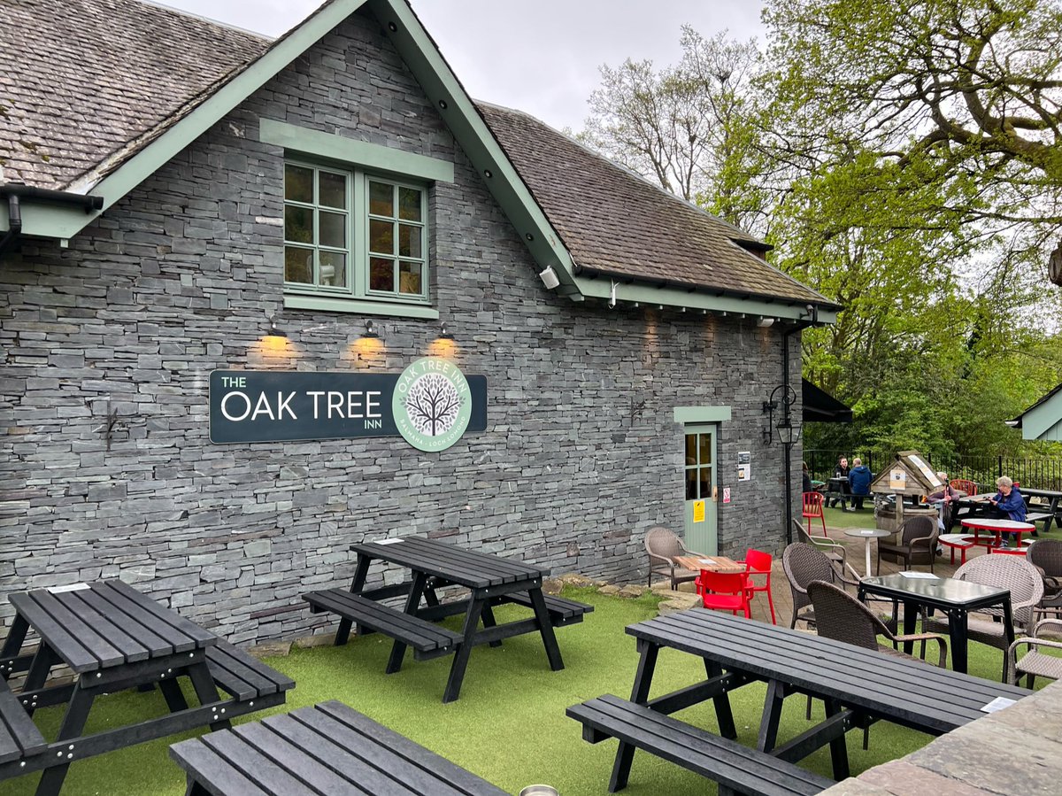
It was quite a relief to have decided not to take the risk. Ian even took one for the team and had a pint despite there still being quite a long way to go that day. 

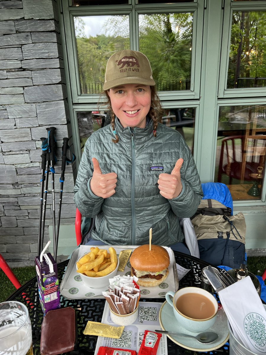
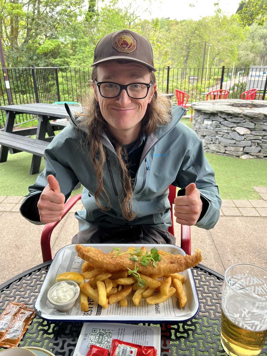
Local legend has it that after having pub grub and pints, if you go and pay your respects to “Scotland’s Most Loved Mountain Man” Tom Weir, the bears will leave you alone on the way ahead. 

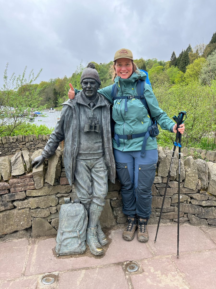
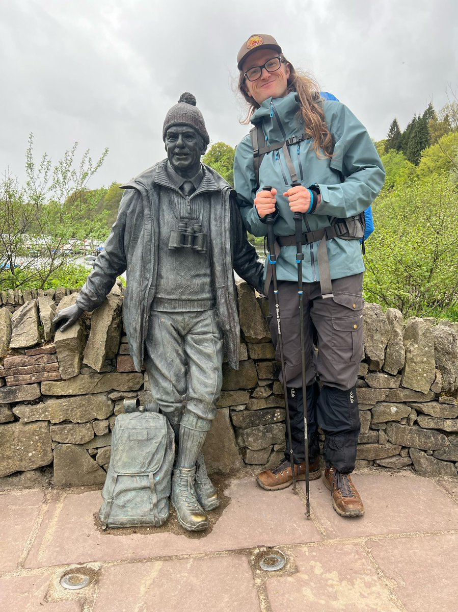
We bid goodbye to Tom and Balmaha, to start making our way along the undulating path on the mysterious east side of Loch Lomond. 


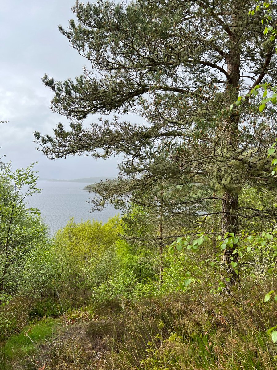
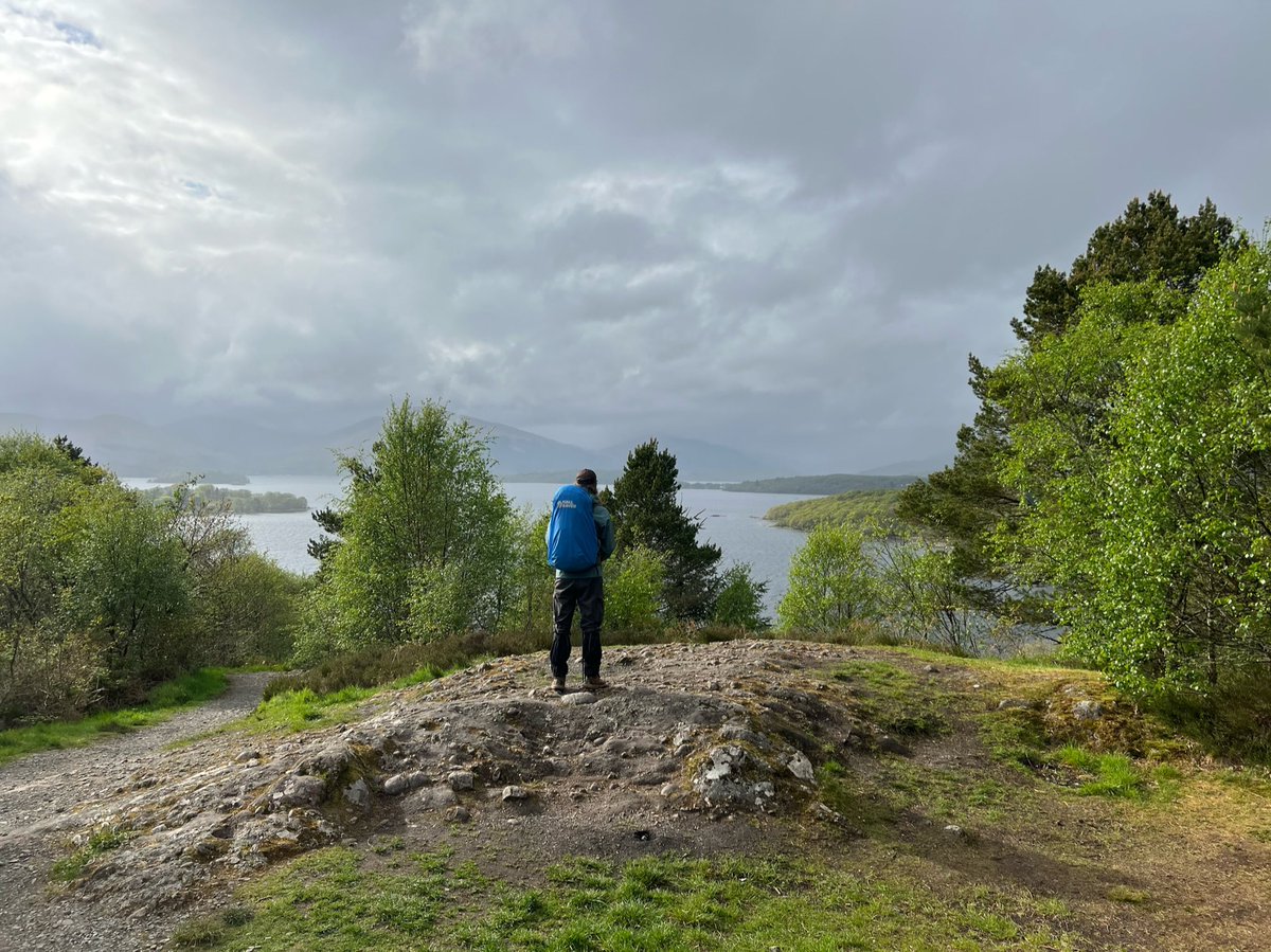
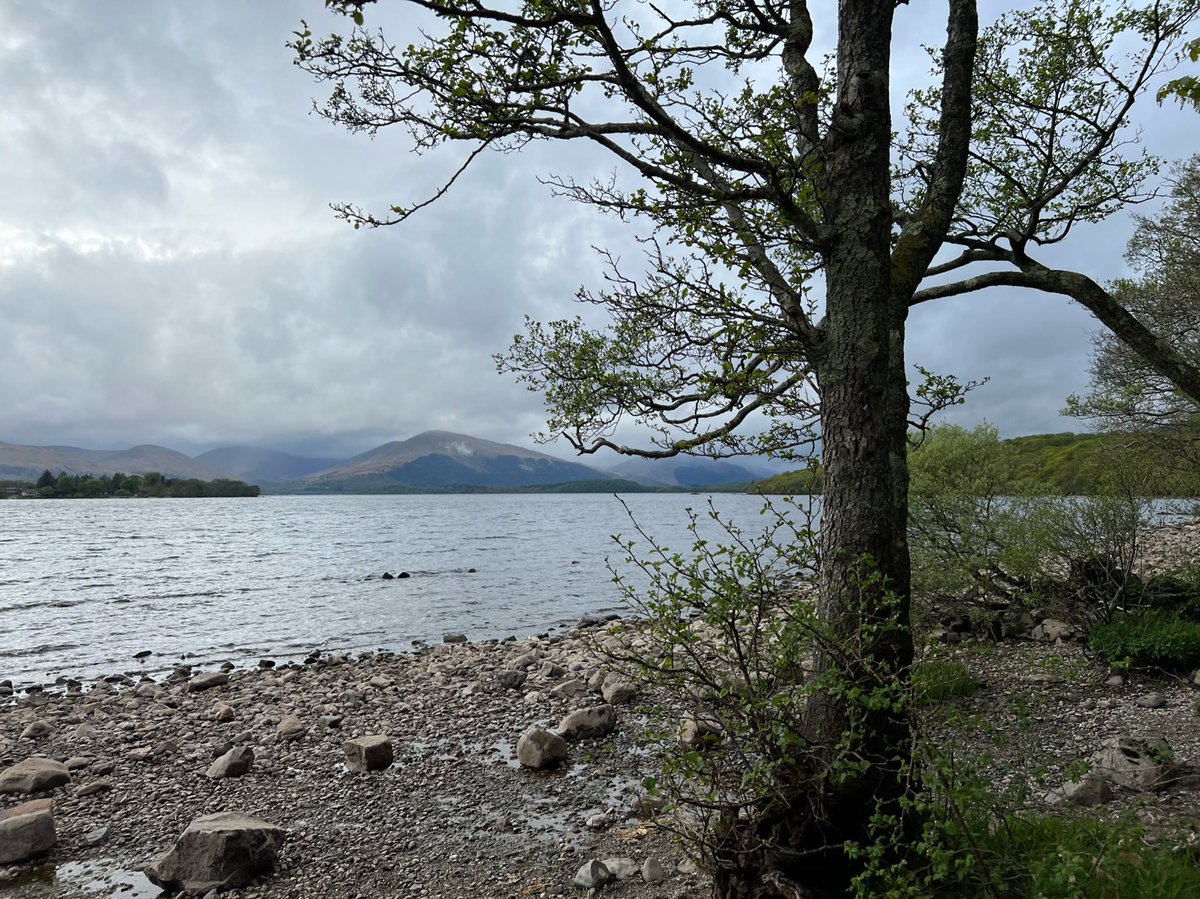
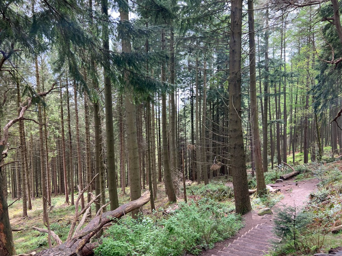
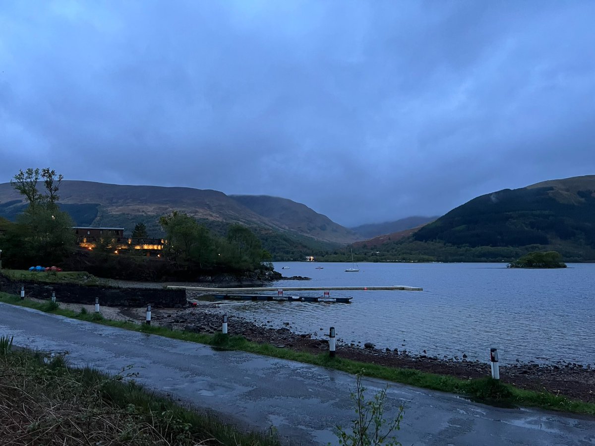
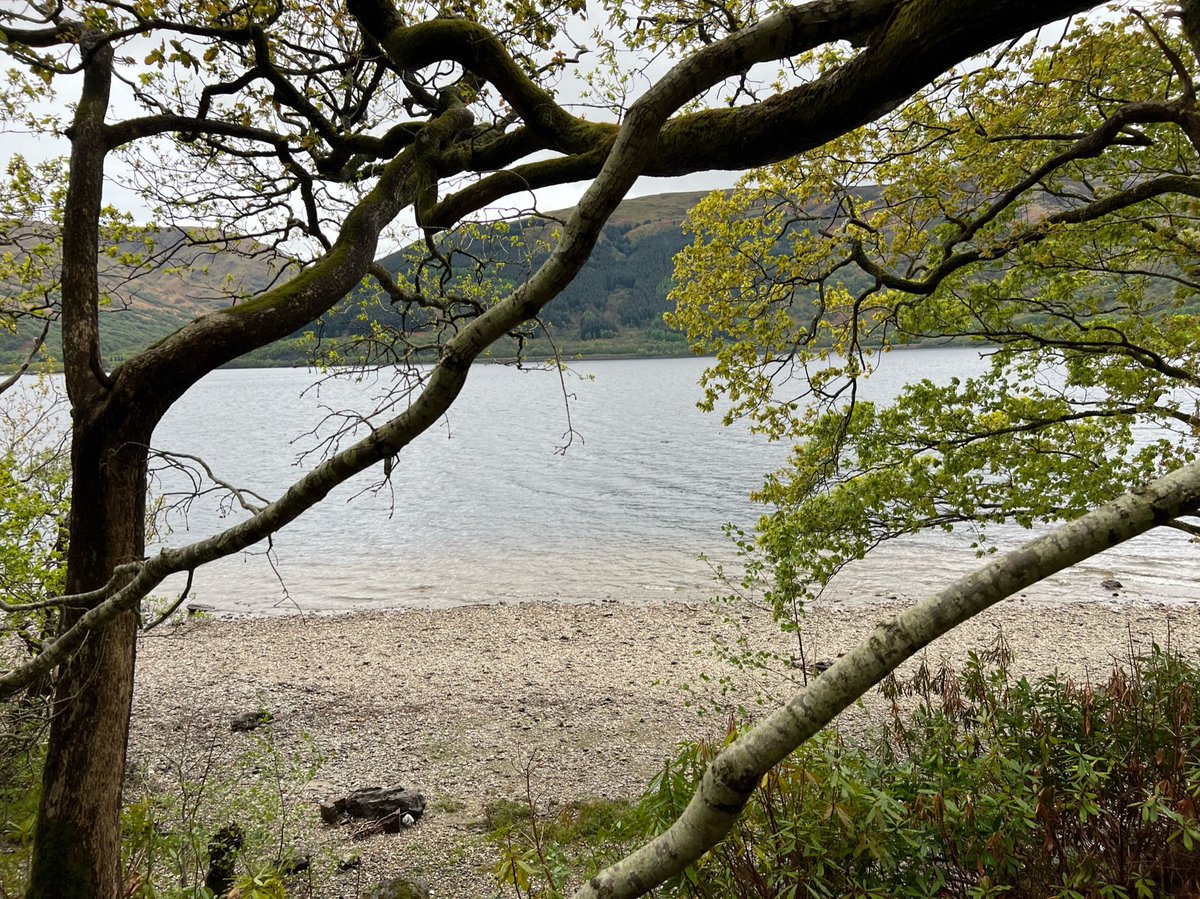
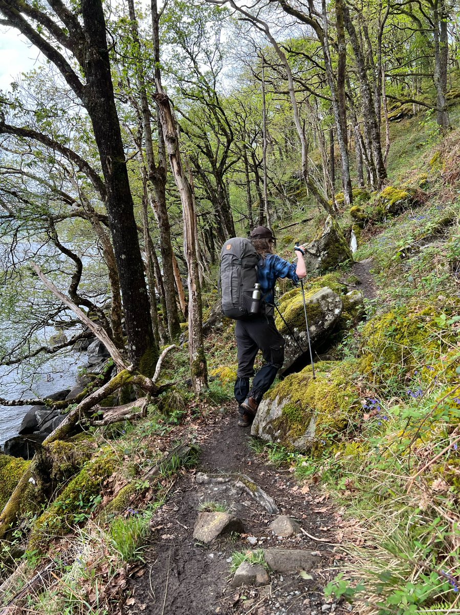
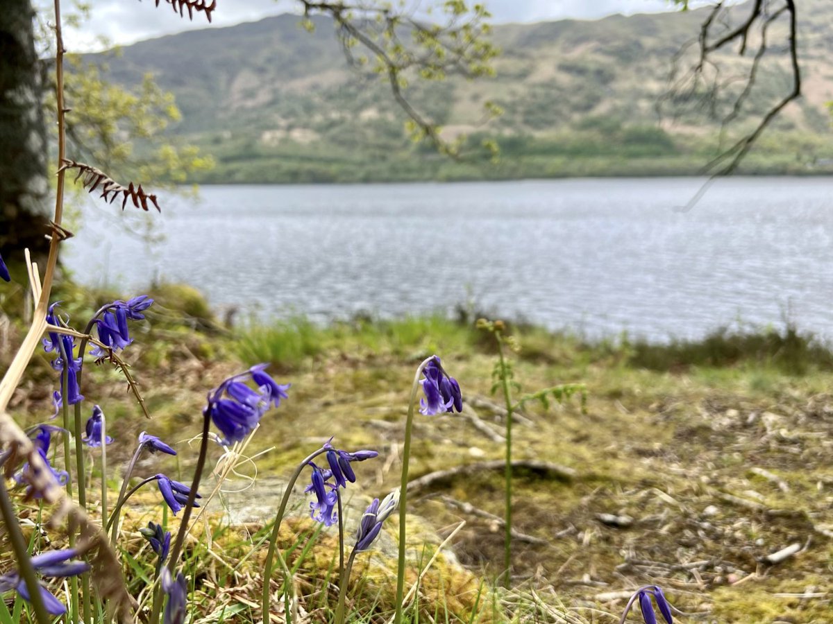
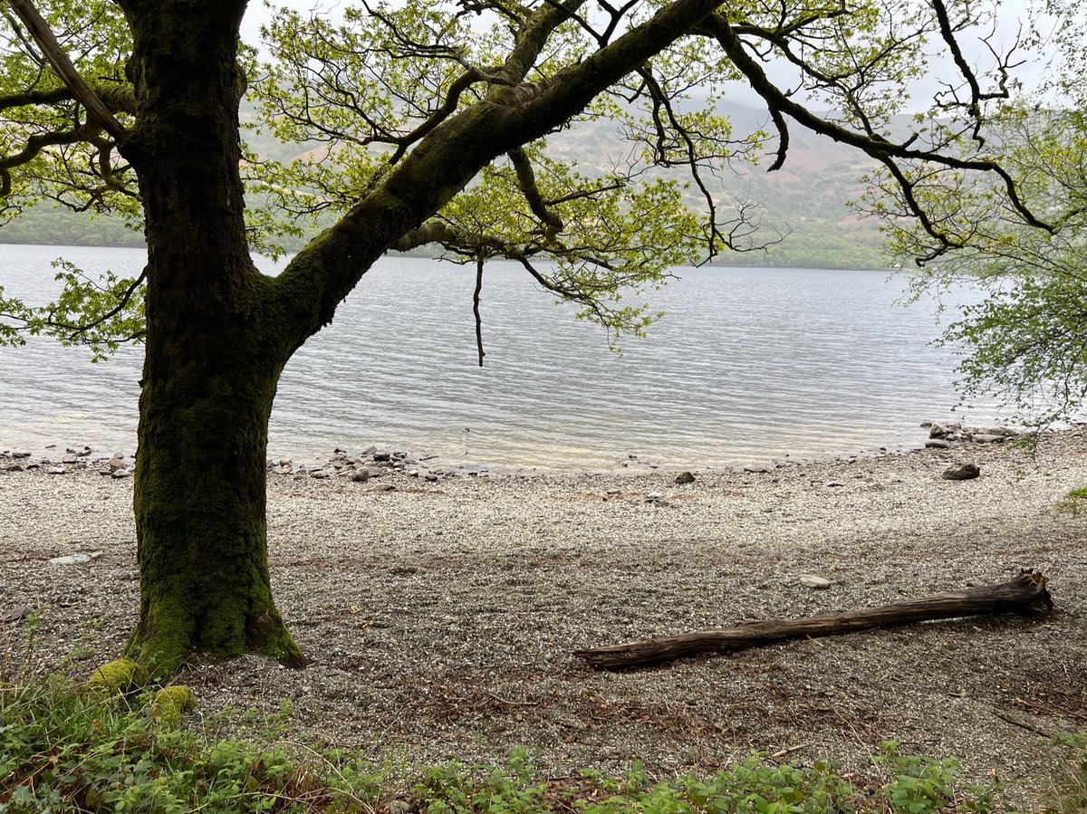
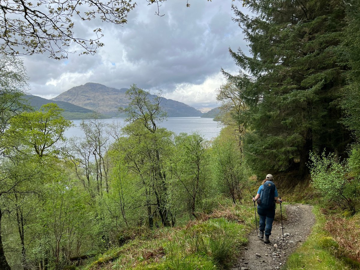
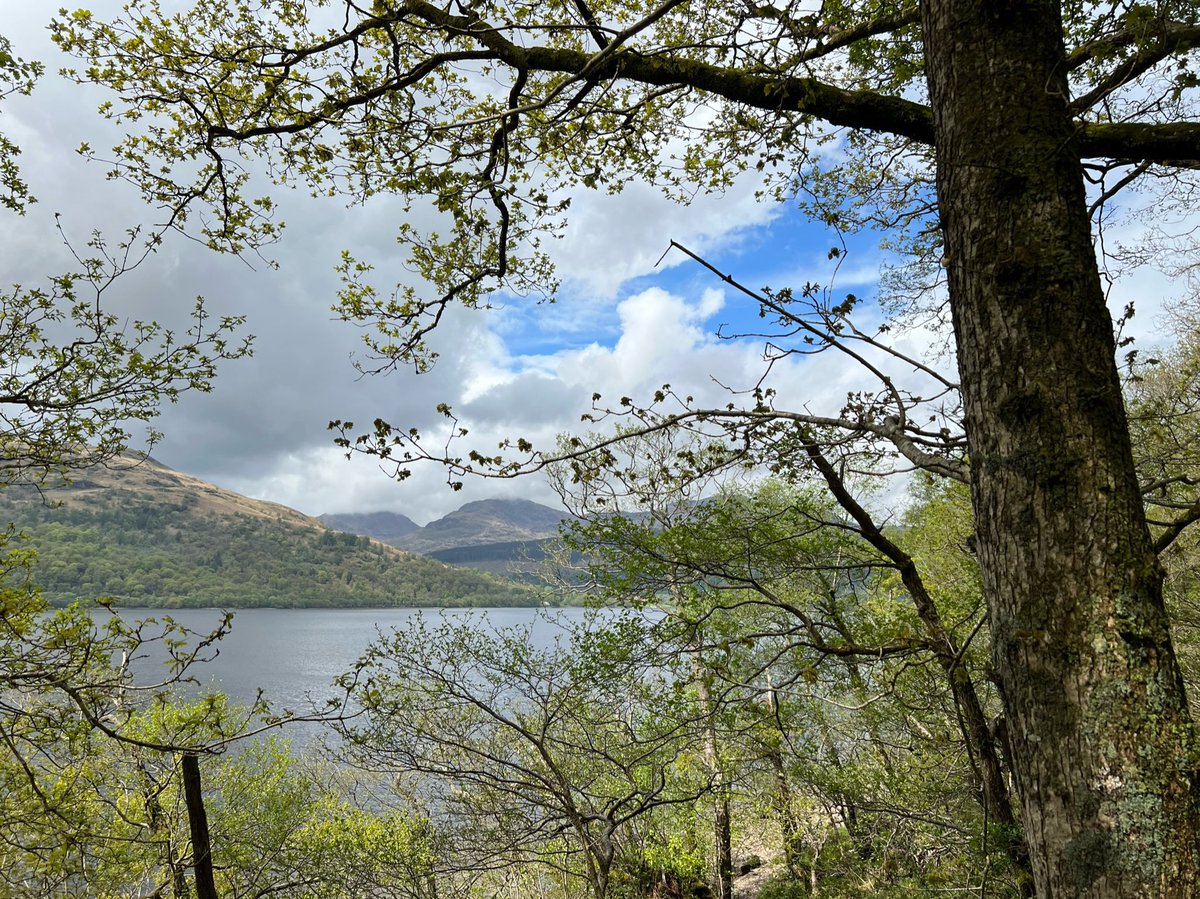
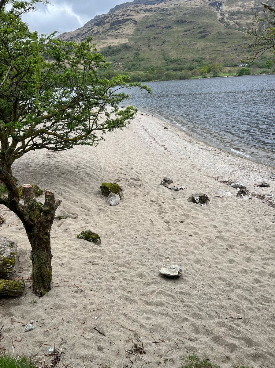
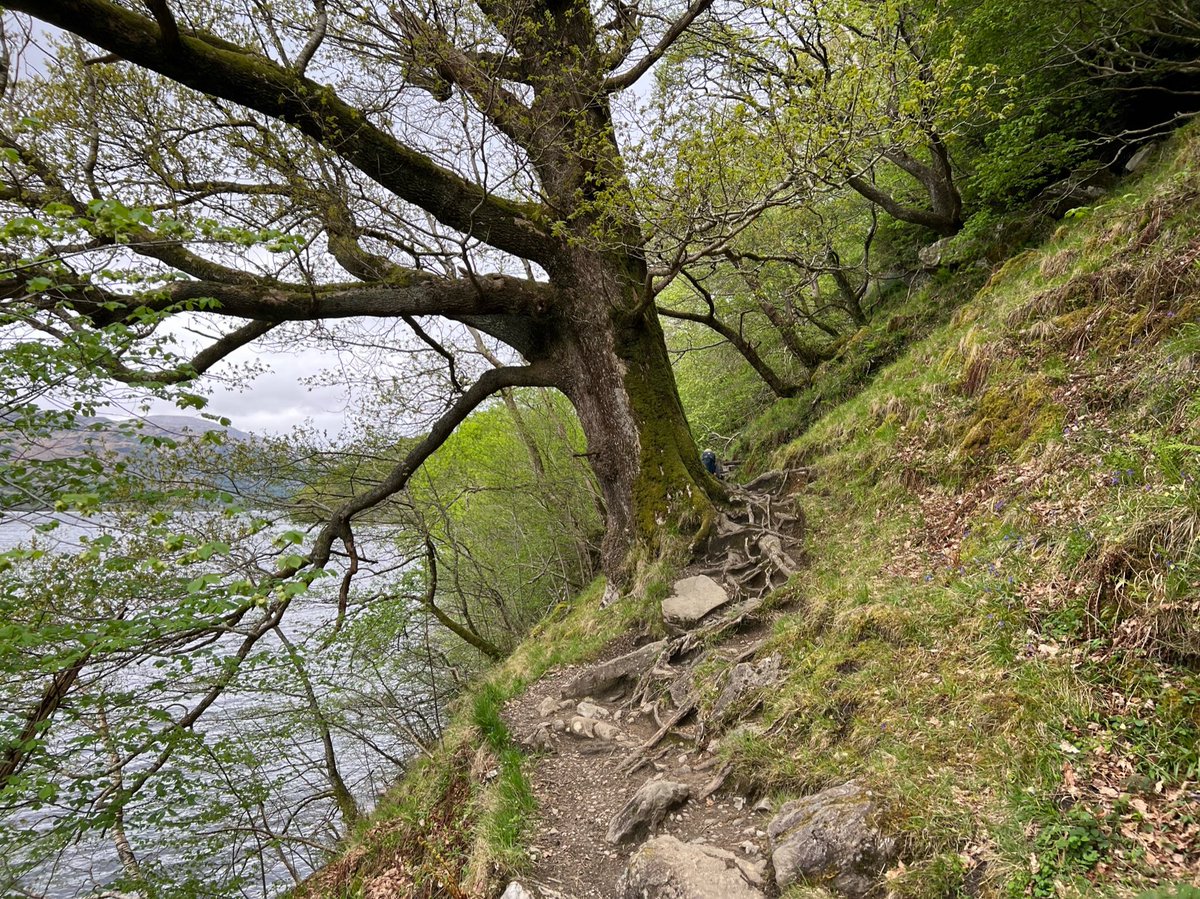
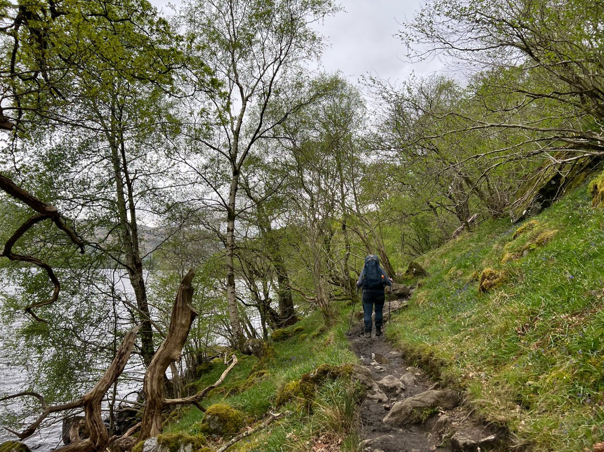
The path here was absolutely stunning - with views across the Loch, hidden beaches, and woodland carpeted with bluebells. 


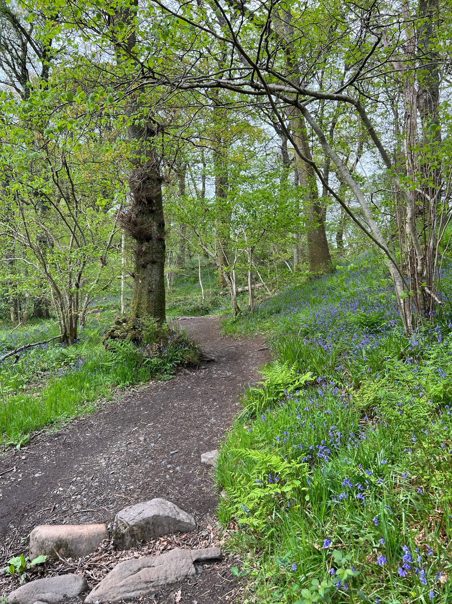
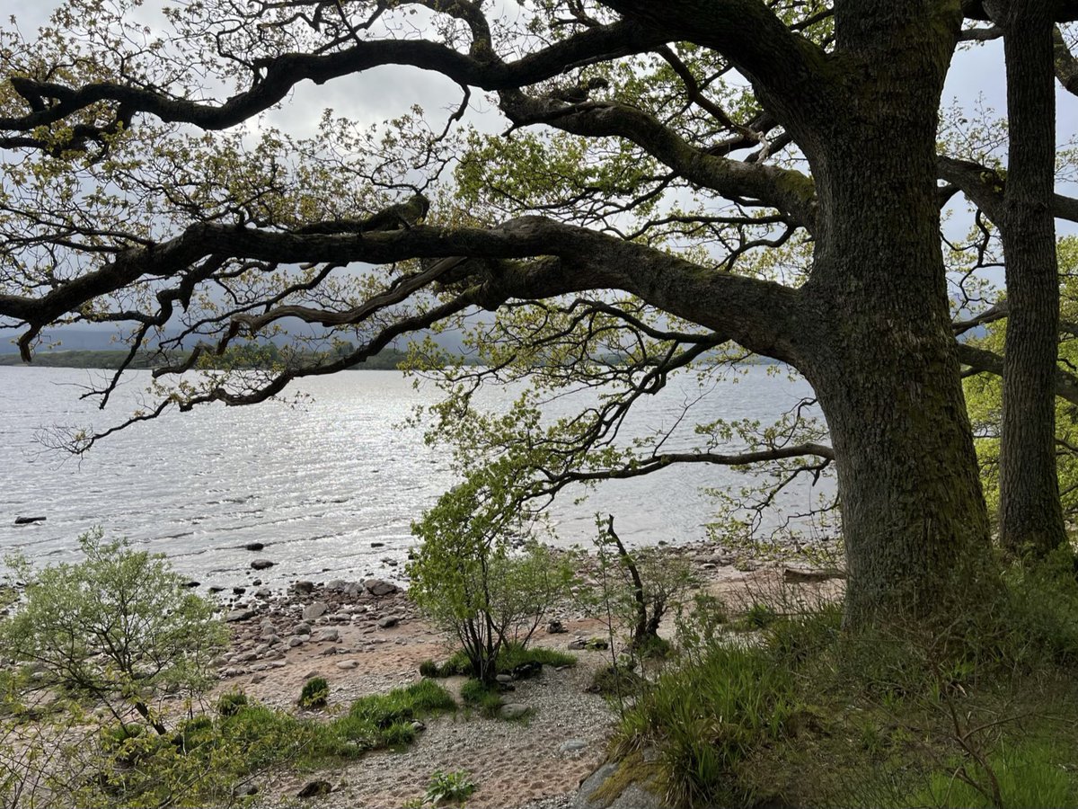
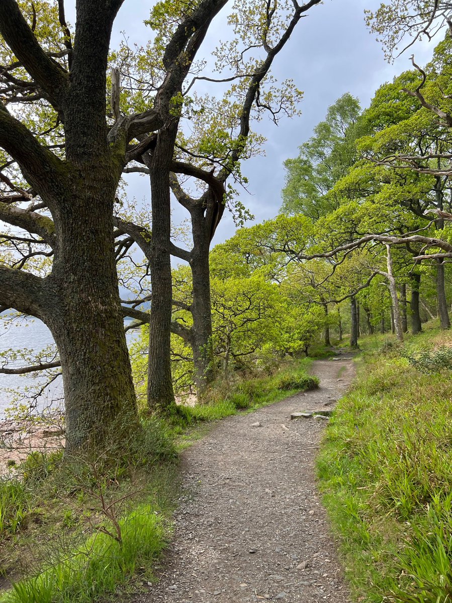
The light was constantly changing, and mists blowing in and out over the water, revealing mountains on the opposite shore. 


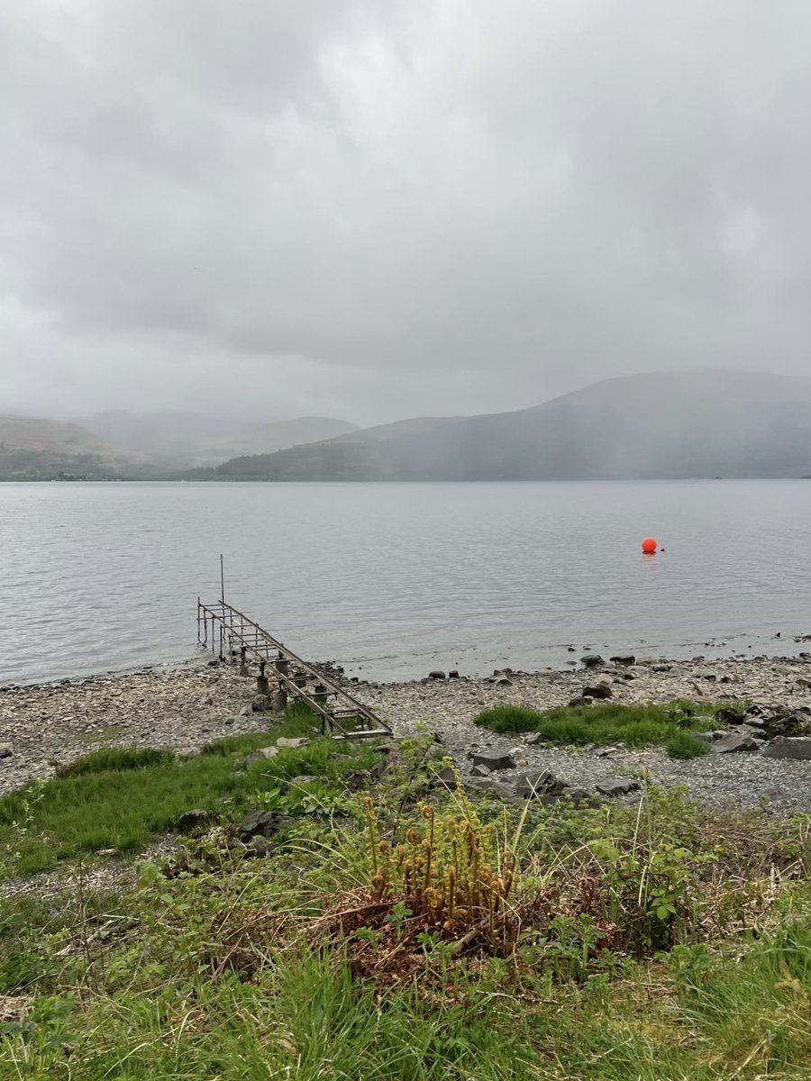
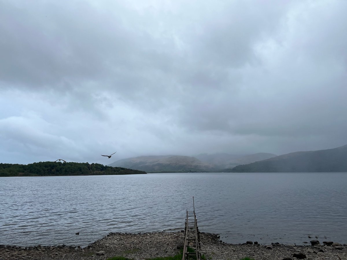
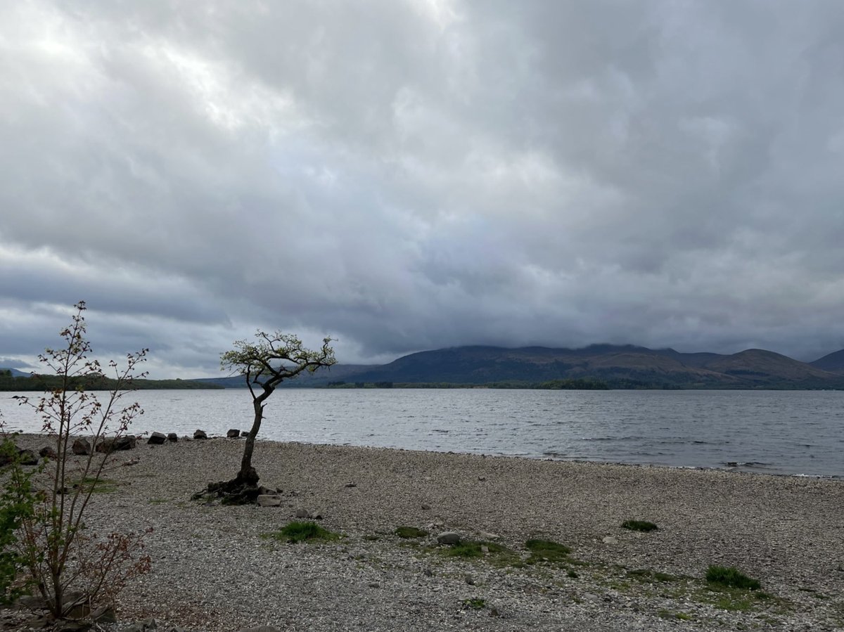
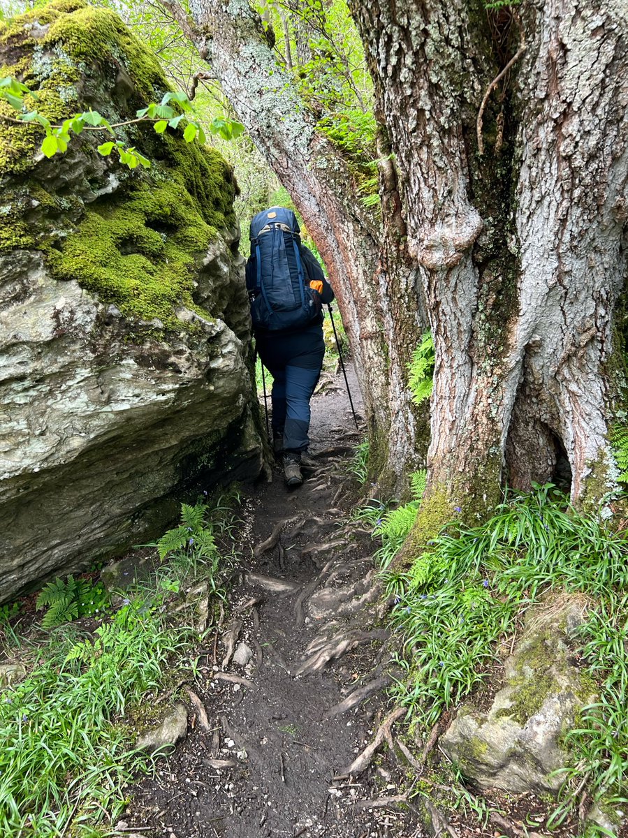
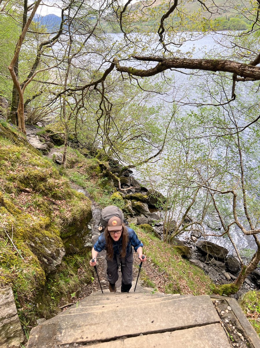
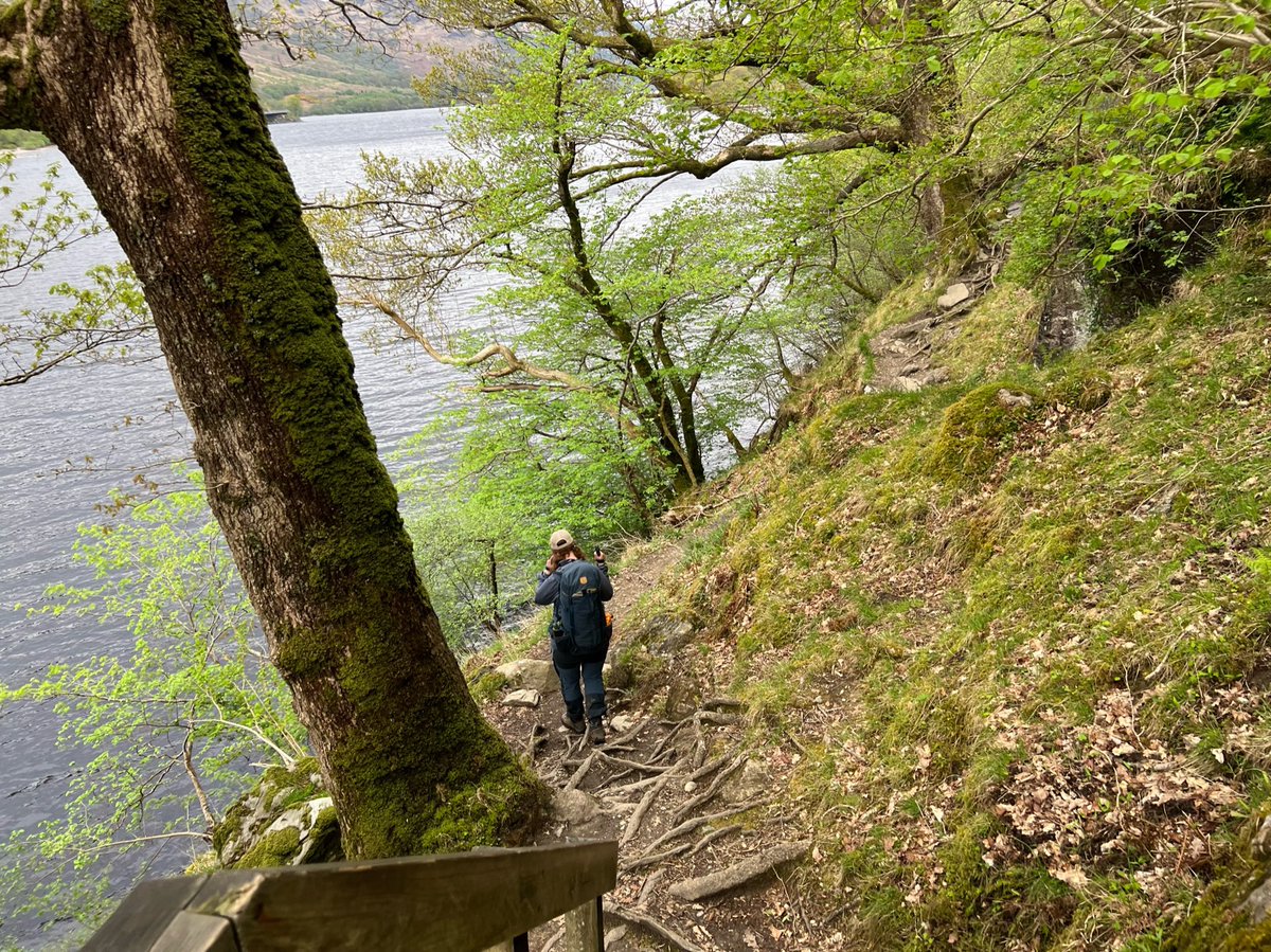
It’s quite hard going with steps up and down, tree roots and rocks to clamber over, and sandy sections to navigate. But the surroundings were just so incredible and immersive, it didn’t seem to matter. 


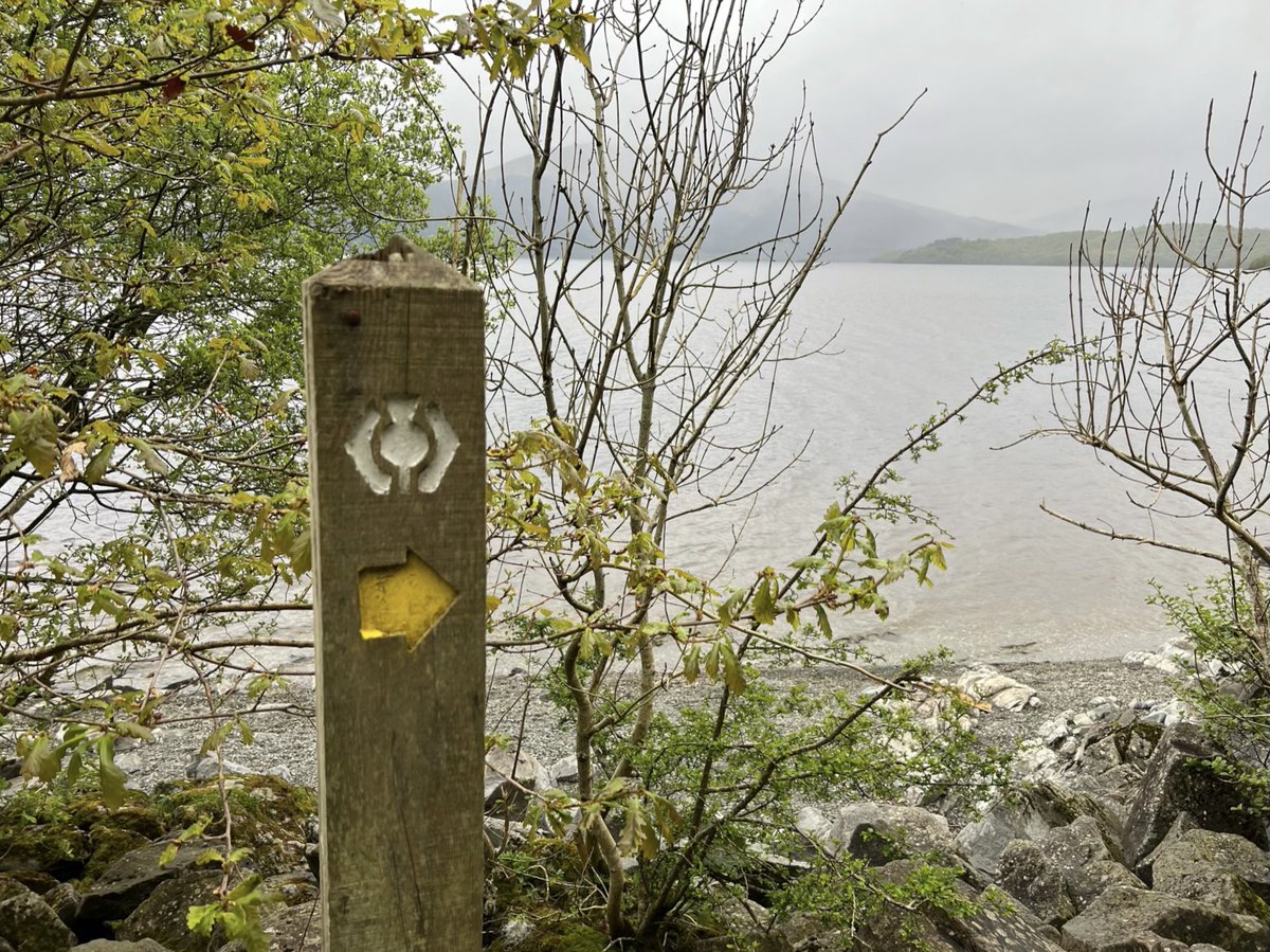
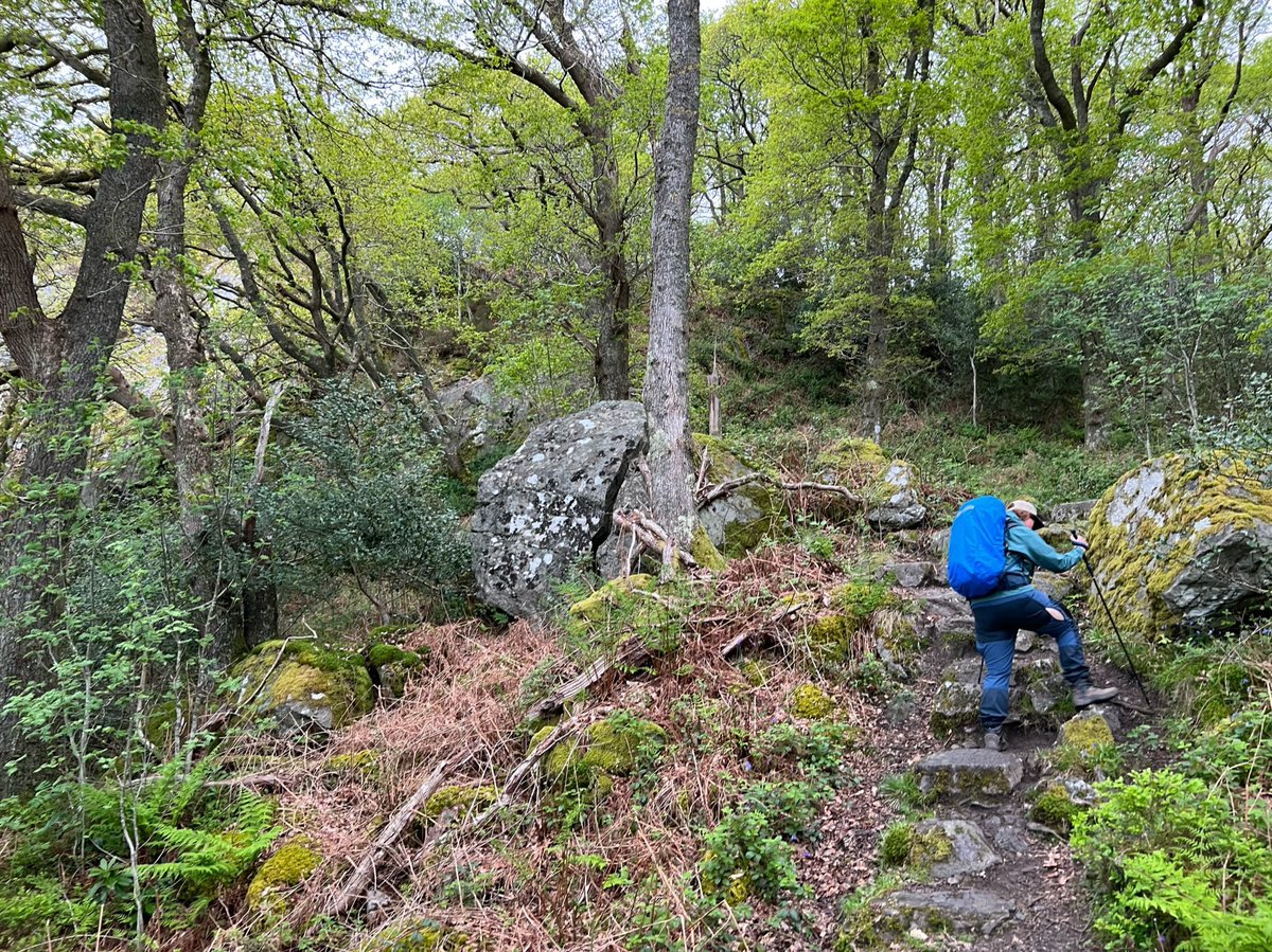
This part of the WHW along the Loch-shore is in the camping management zone so wild camping isn’t allowed, but there are a few national park and Forestry and Land Scotland campsites. We reached one of these at the beautiful Sallochy Bay where we saw quite a few of the people… 

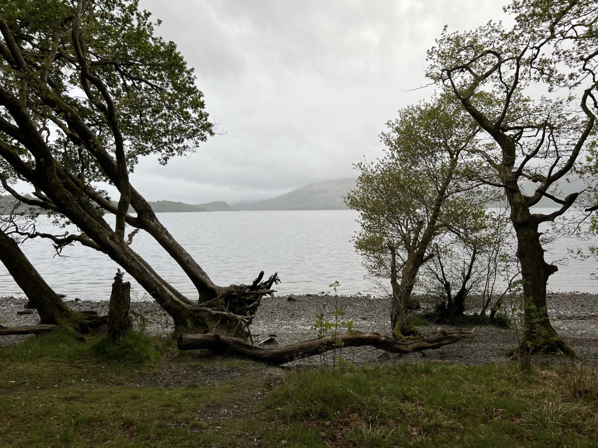
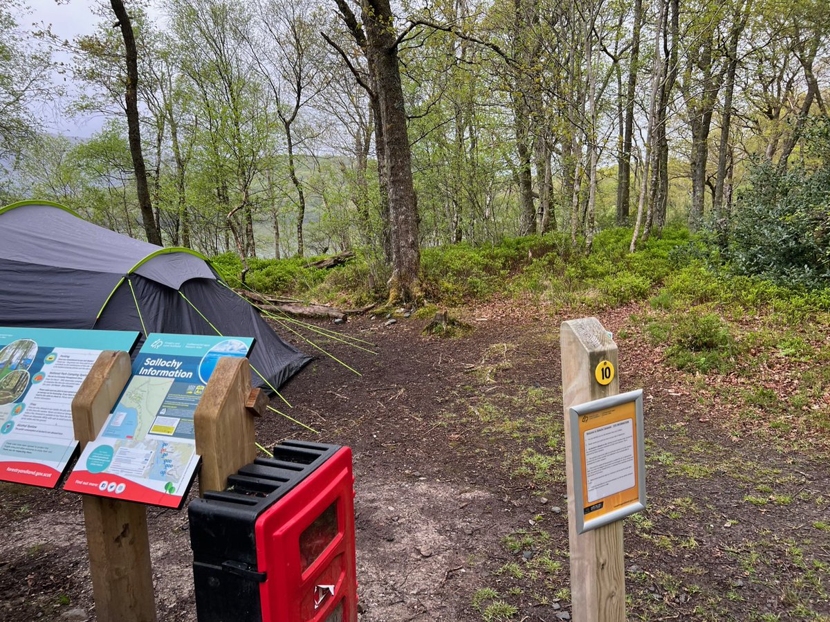
…we’d met at Drymen Camping on the previous night, sitting on the beach drinking beer. They called out to us to say we should come and join them and camp there. You probably won’t be surprised to know it was pretty late by now, and it was certainly tempting… 
We had planned to camp outside the YHA at Rowardennan Lodge because we’d read the section between there and Inverarnan was challenging, so we didn’t want to make it longer. We were tired and sunset was approaching, but decided our future selves would thank us if we pushed on. 
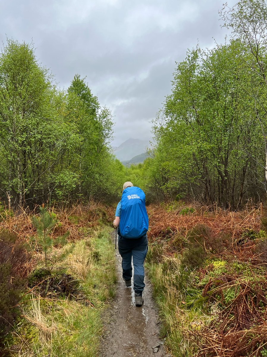
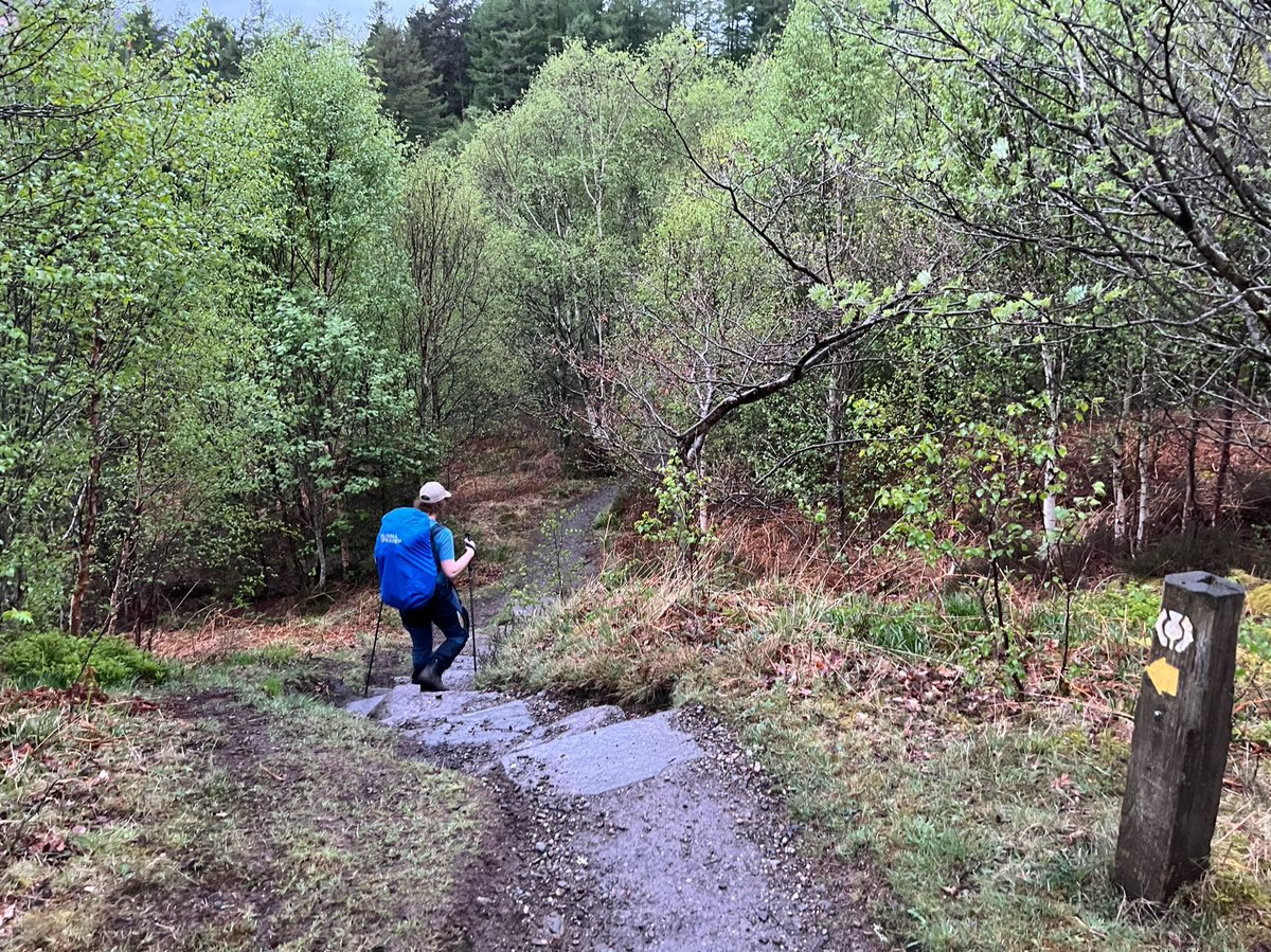
We immediately questioned our decision to stick to the Rowardennan plan, when our tired legs were faced with a steep uphill out of Sallochy, but soon we were on the way back down again and it was a lovely evening - so better now than in the rain that was forecast for the morning! 
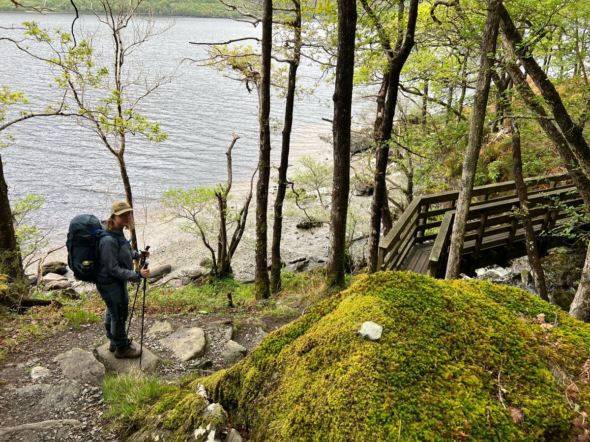
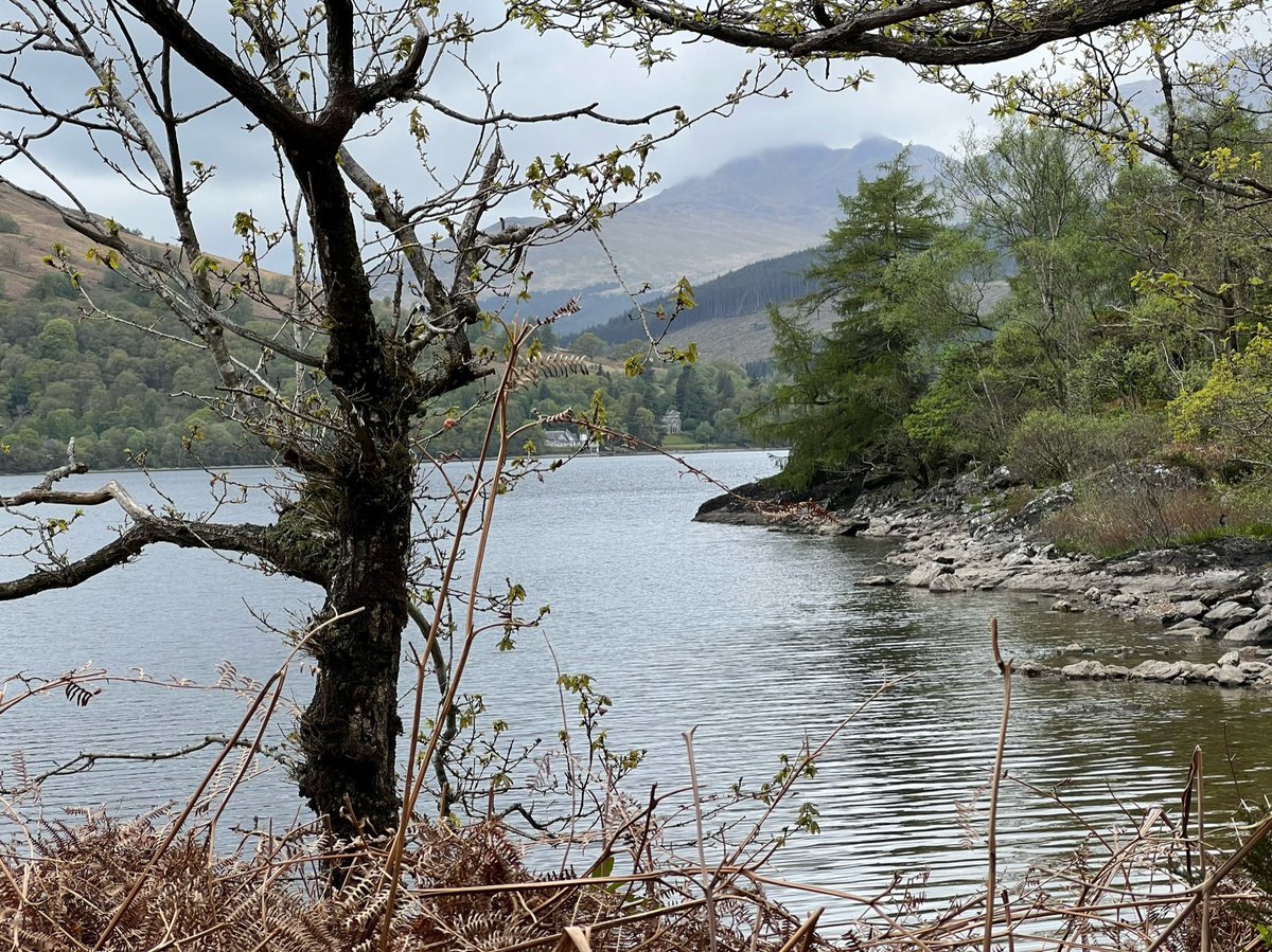
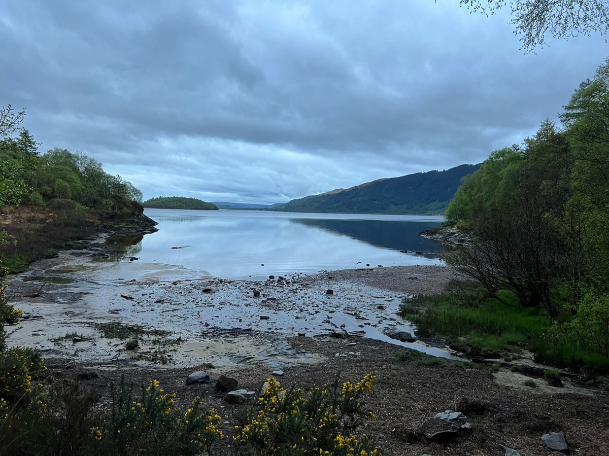
Our spirits lifted as the path went back to follow the loch shore for a while, past several amazing coves. 
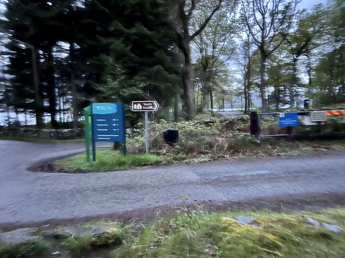
After walking about another kilometre, we were super excited to see the sign pointing up the track to the YHA. 

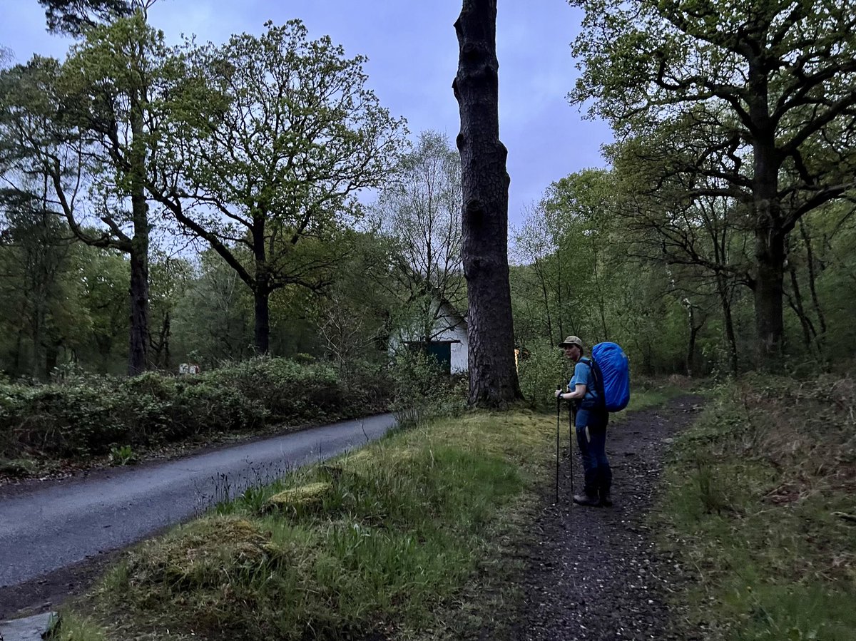
We finally made it, and and got a warm welcome at reception! For £5 you can camp in their grounds and use all the hostel facilities. Their shop was still open and they even had @HarviestounBrew Schiehallion, and @ThistlyCross - our favourite drinks! We set up the tent outside… 
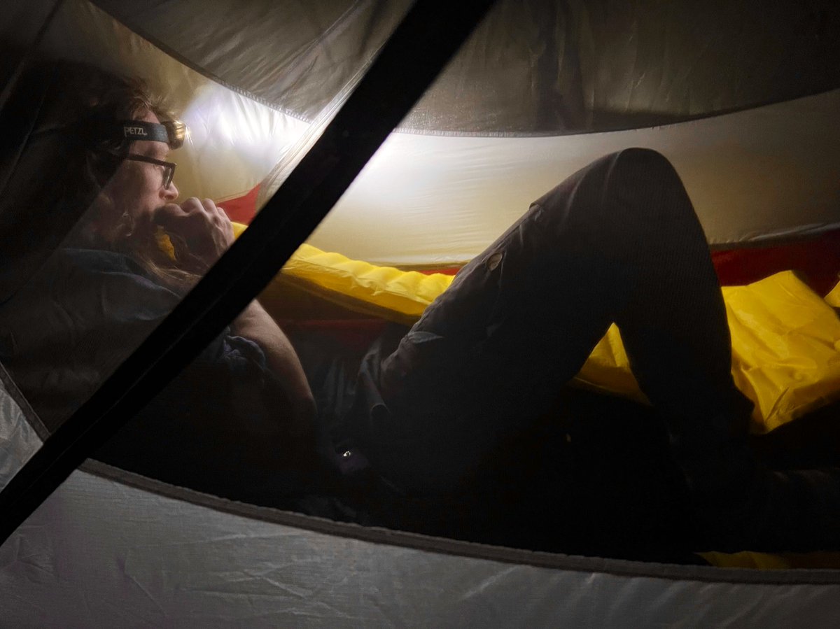
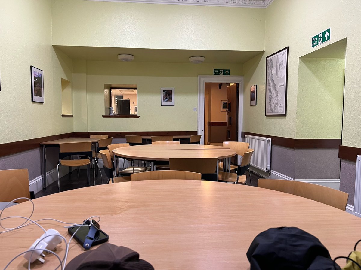
…and went inside for a while to charge up our devices and cook noodles in the kitchen. Everyone had gone to bed so we had the place to ourselves. 
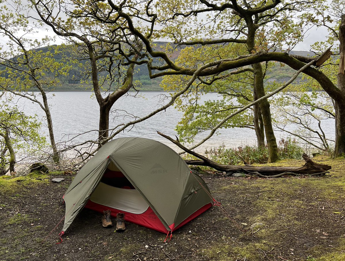
We fell asleep to the sound of the water gently lapping on the beach below the tent. During the night we were woken by heavy rain, but were so tired we were soon snoozing again. It wasn’t until we woke up in the morning that we realised what a stunning location we’d camped in! 
It started raining heavily again and the hostel does a continental breakfast - which actually turned out to be an amazing array of croissants, breads, fruit, yoghurt, juice, tea, coffee, etc so it seemed only sensible to partake in that, and wait out the rain a while in the warm. 
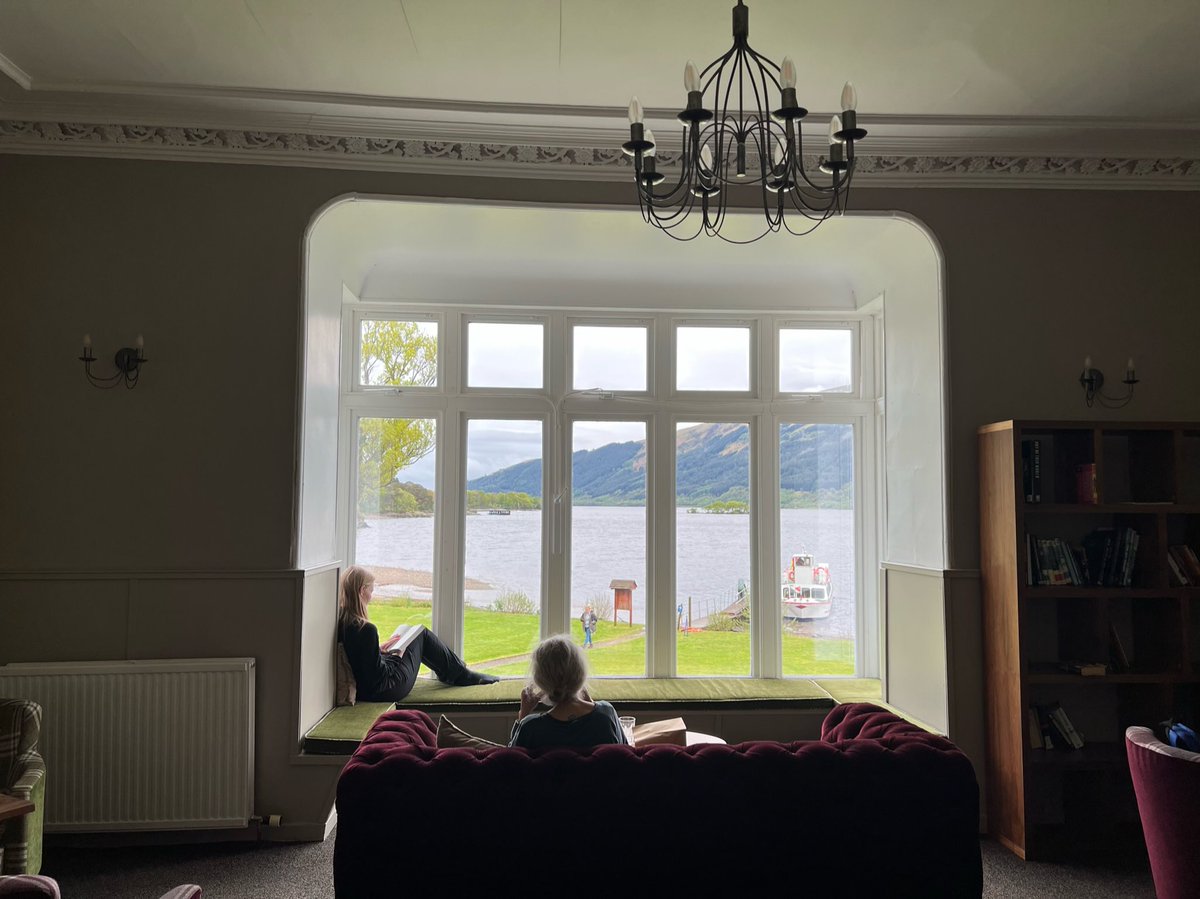
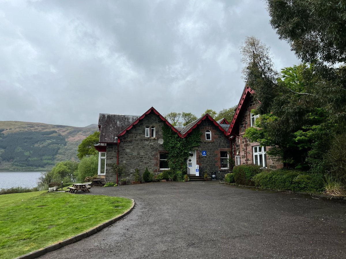
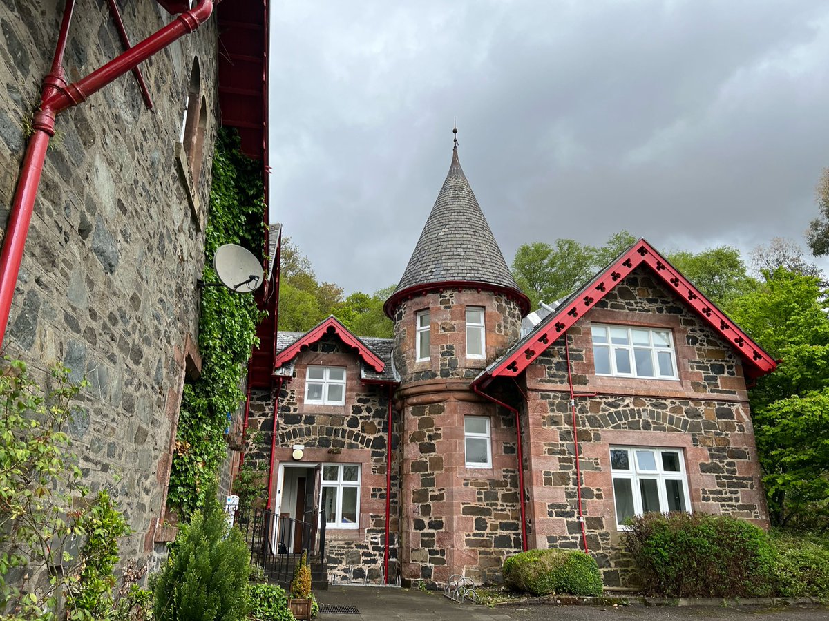
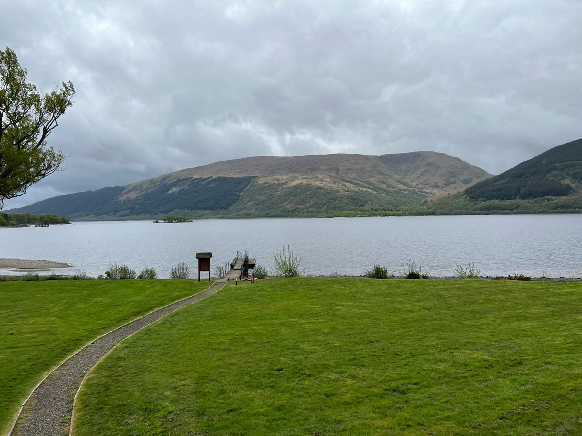
Rowardennan Lodge is grand building, that was built as a hunting lodge in the mid C19th, but converted into an SYHA in the 1960s. It has sweeping lawns and its own jetty - you can arrive by Waterbus! It’s heartening to see this former hunting lodge now filled with walkers. 


Just realised I forgot to do my Day 3 tweet! Whoops. But we hadn’t set off yet so I think it’s ok!
🥾 Day 3
Rowardennan Lodge - Beinglas Farm Campsite, Inverarnan 21.6km
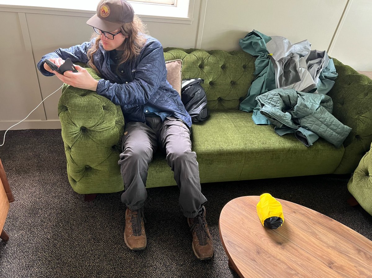
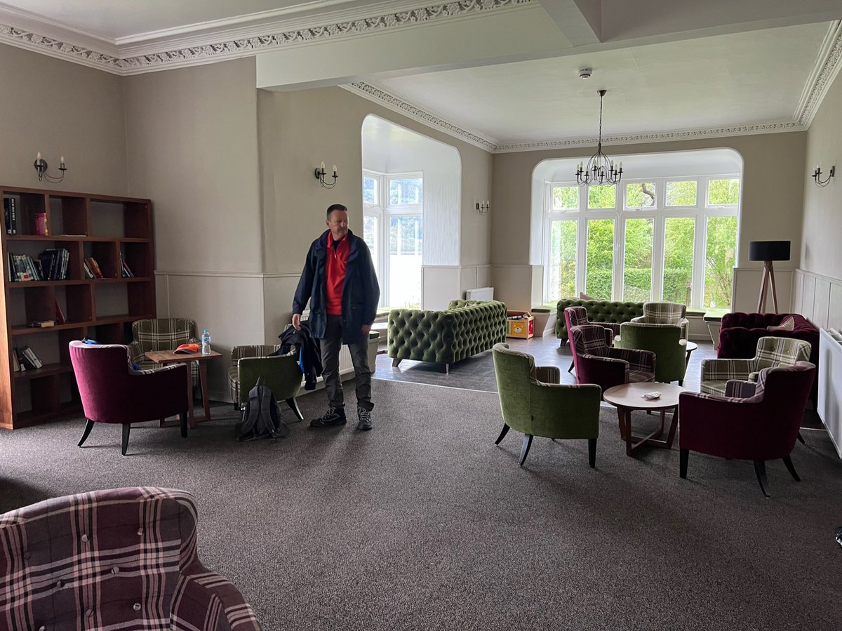
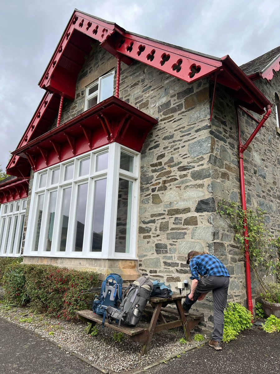
The rain stopped and it was time to leave the cosy lounge, pack our bags, and get on our way.


Rowardennan Lodge - Beinglas Farm Campsite, Inverarnan 21.6km
The rain stopped and it was time to leave the cosy lounge, pack our bags, and get on our way.
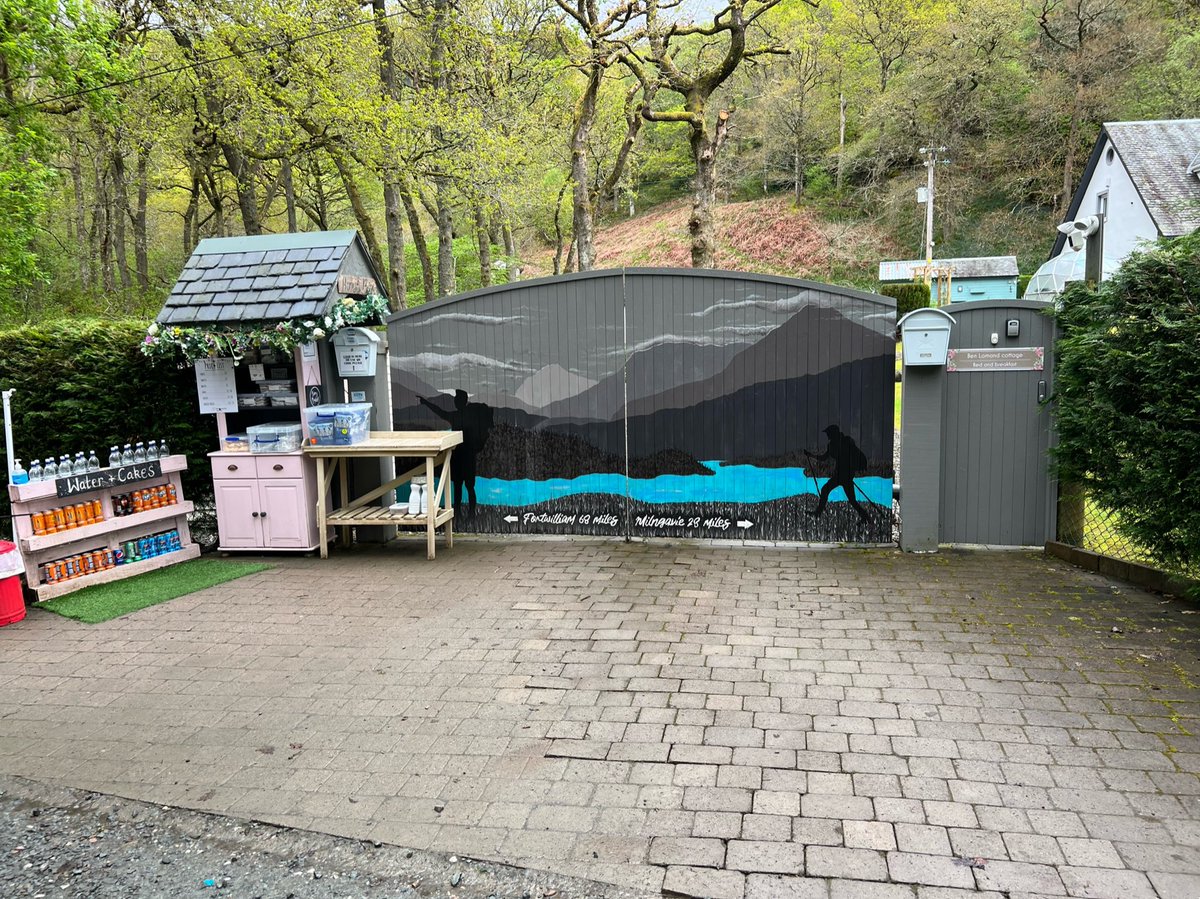
Something really nice about the WHW is that lots of houses and businesses along the way have treats and supplies outside with honesty boxes. This was a lovely one at Ben Lomond Cottage with homemade cakes. Also love the mural on the gates! 
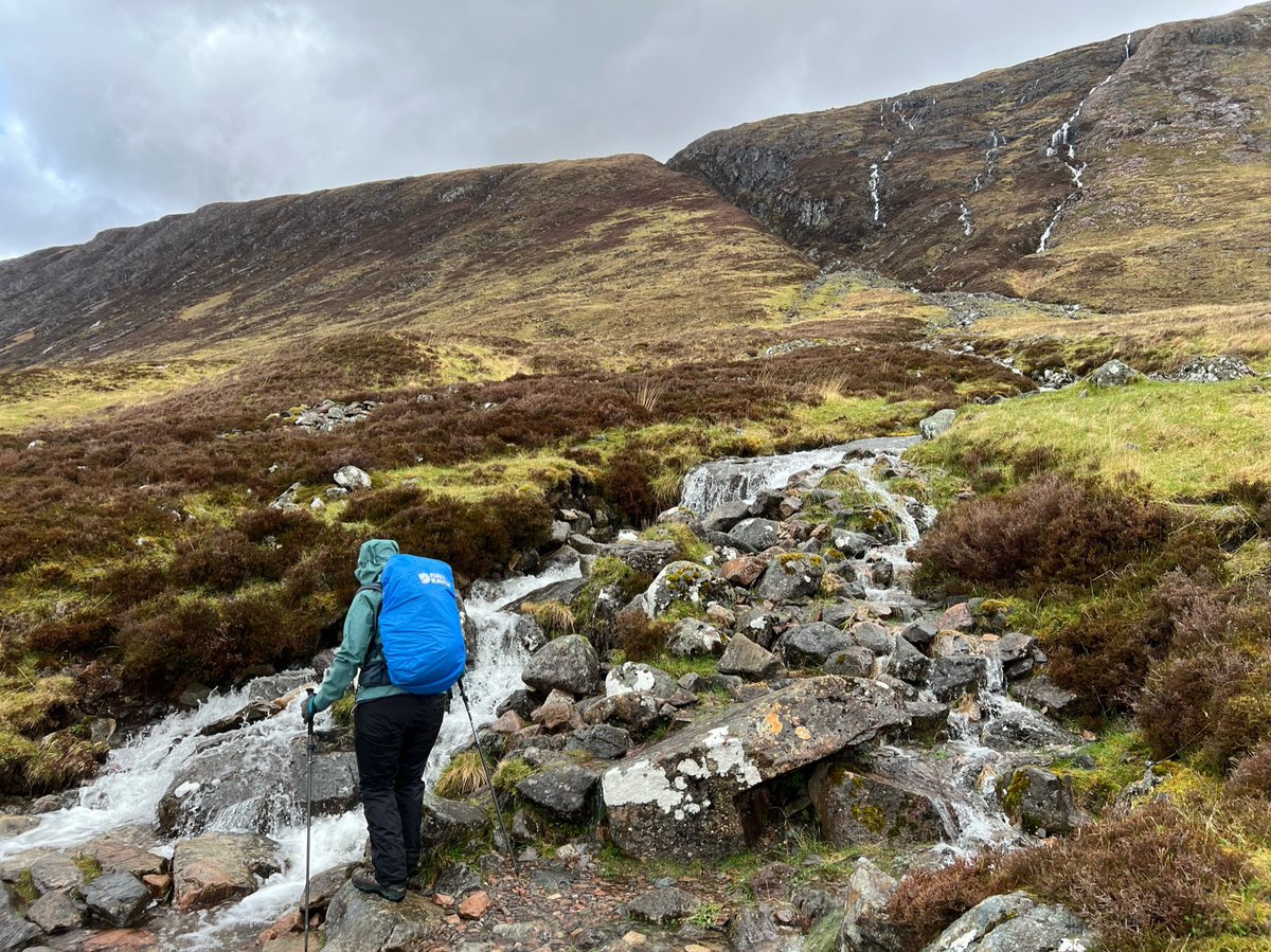
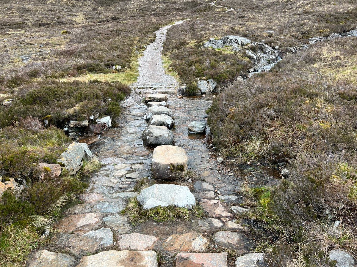
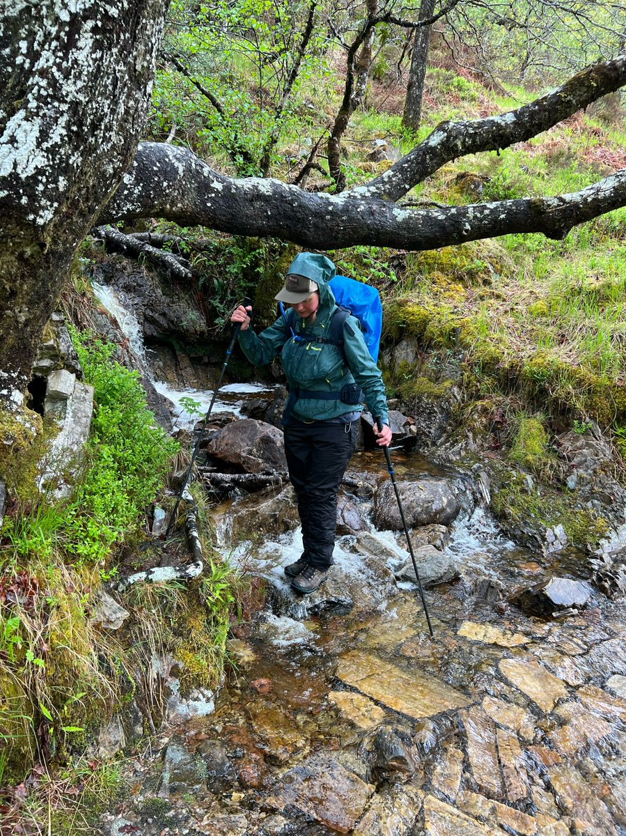
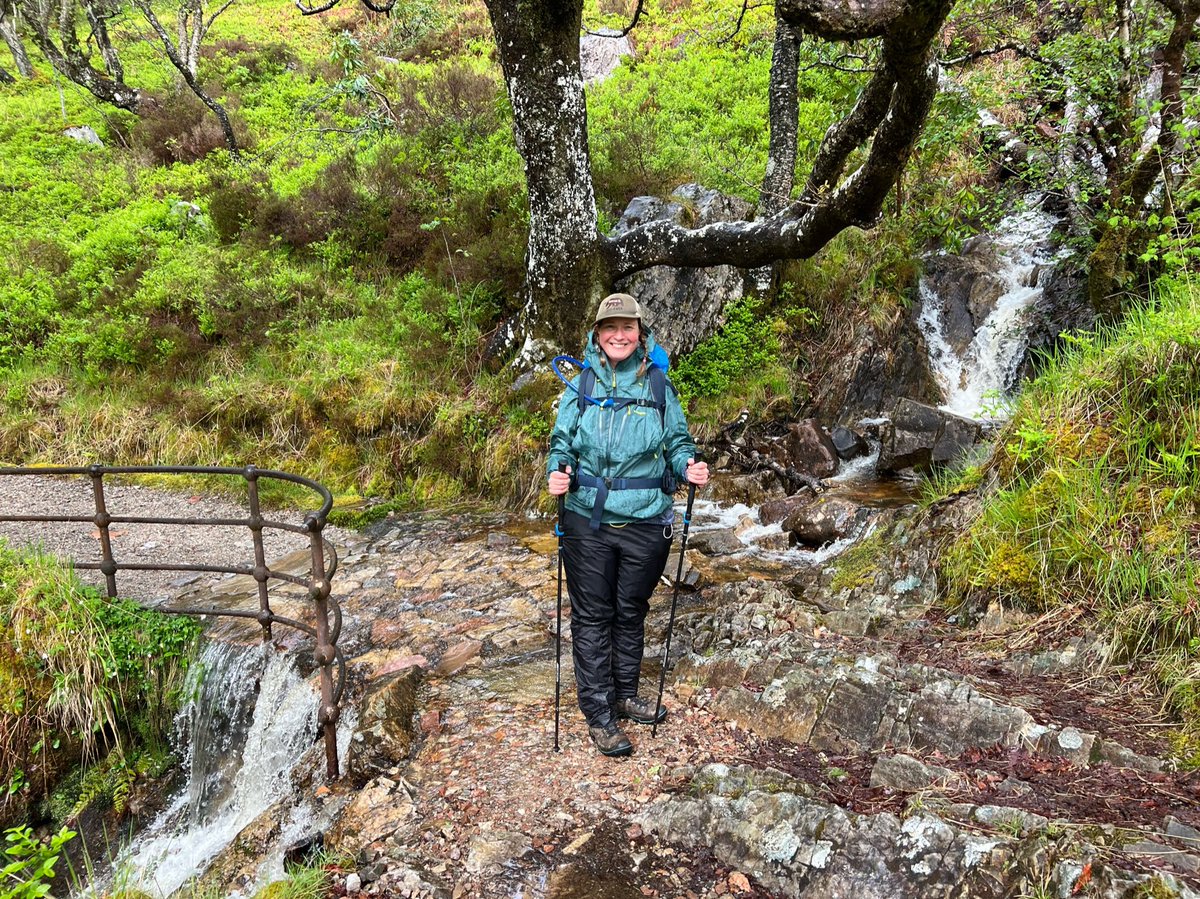
A lot of people say that the Rowardennan to Inverarnan section of the WHW is the toughest, and we started to see why. It’s a bit like an obstacle course with lots of things to navigate along the path - such as streams… 

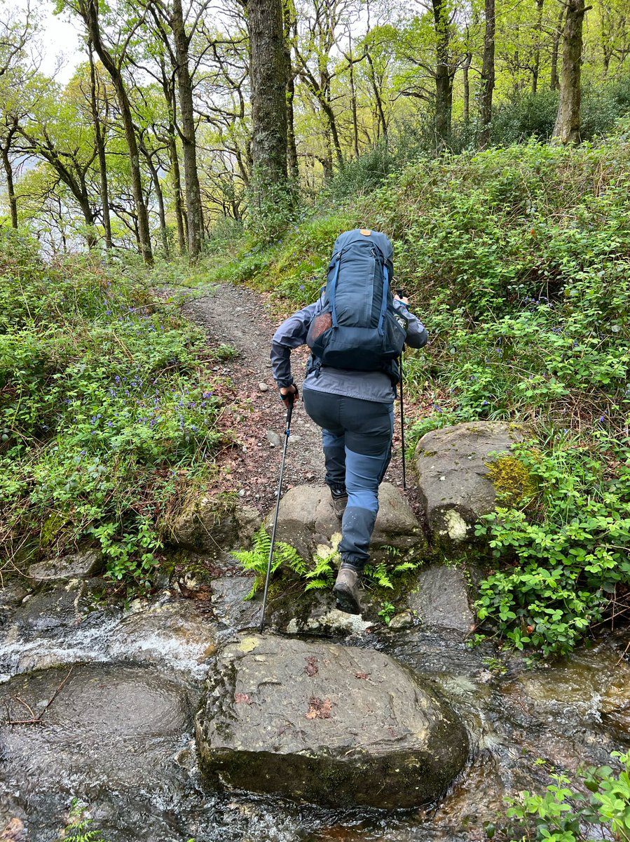
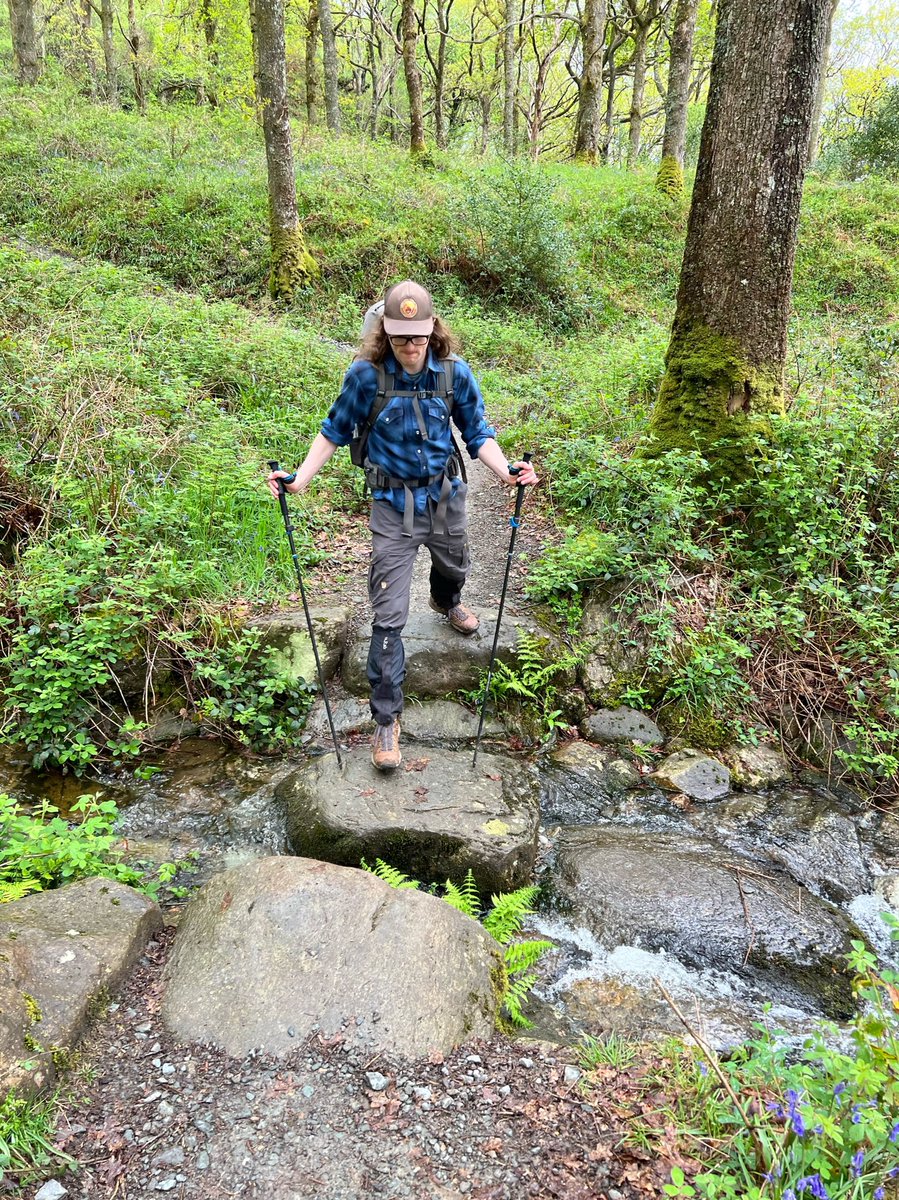
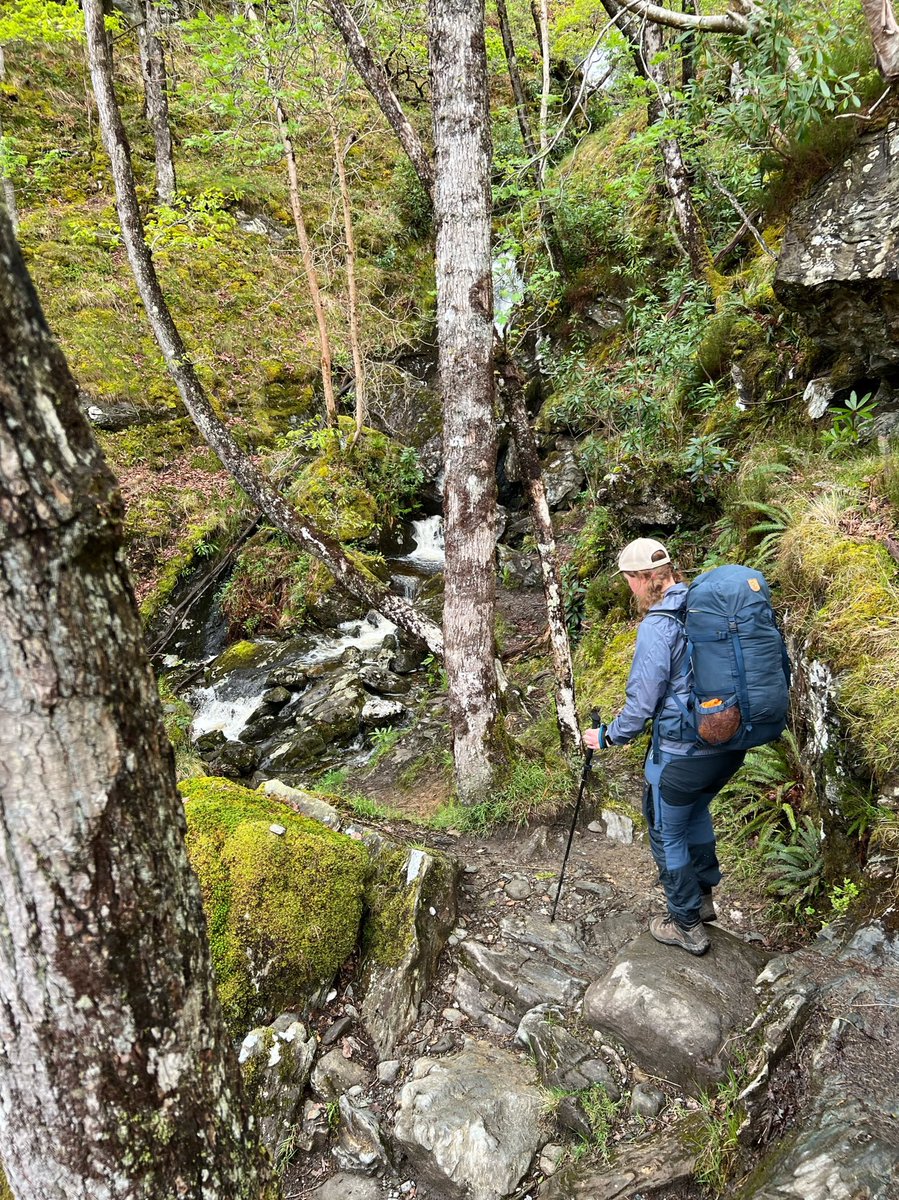
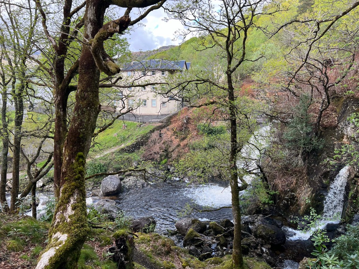
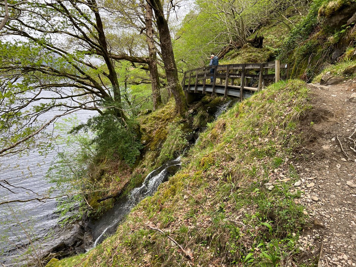
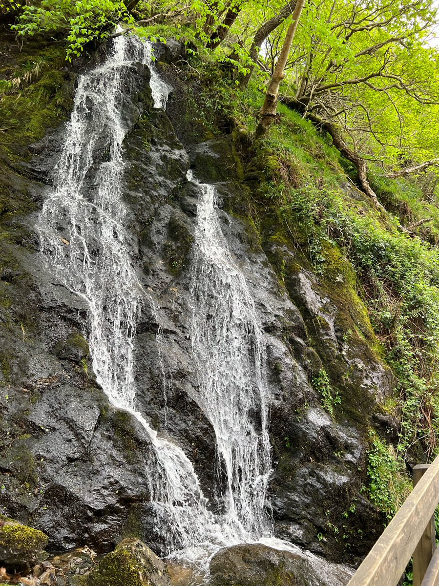
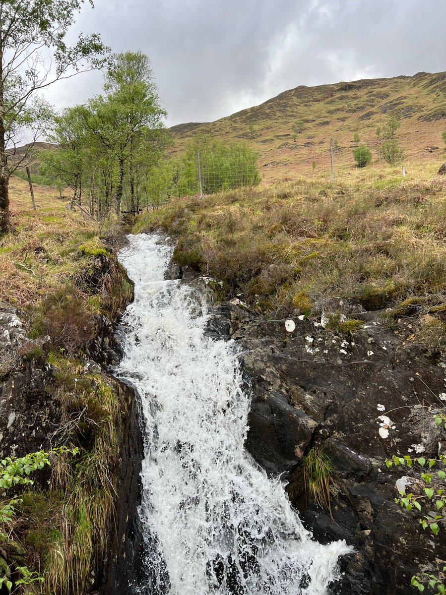
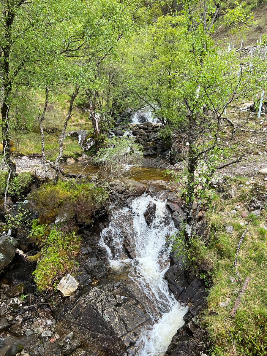
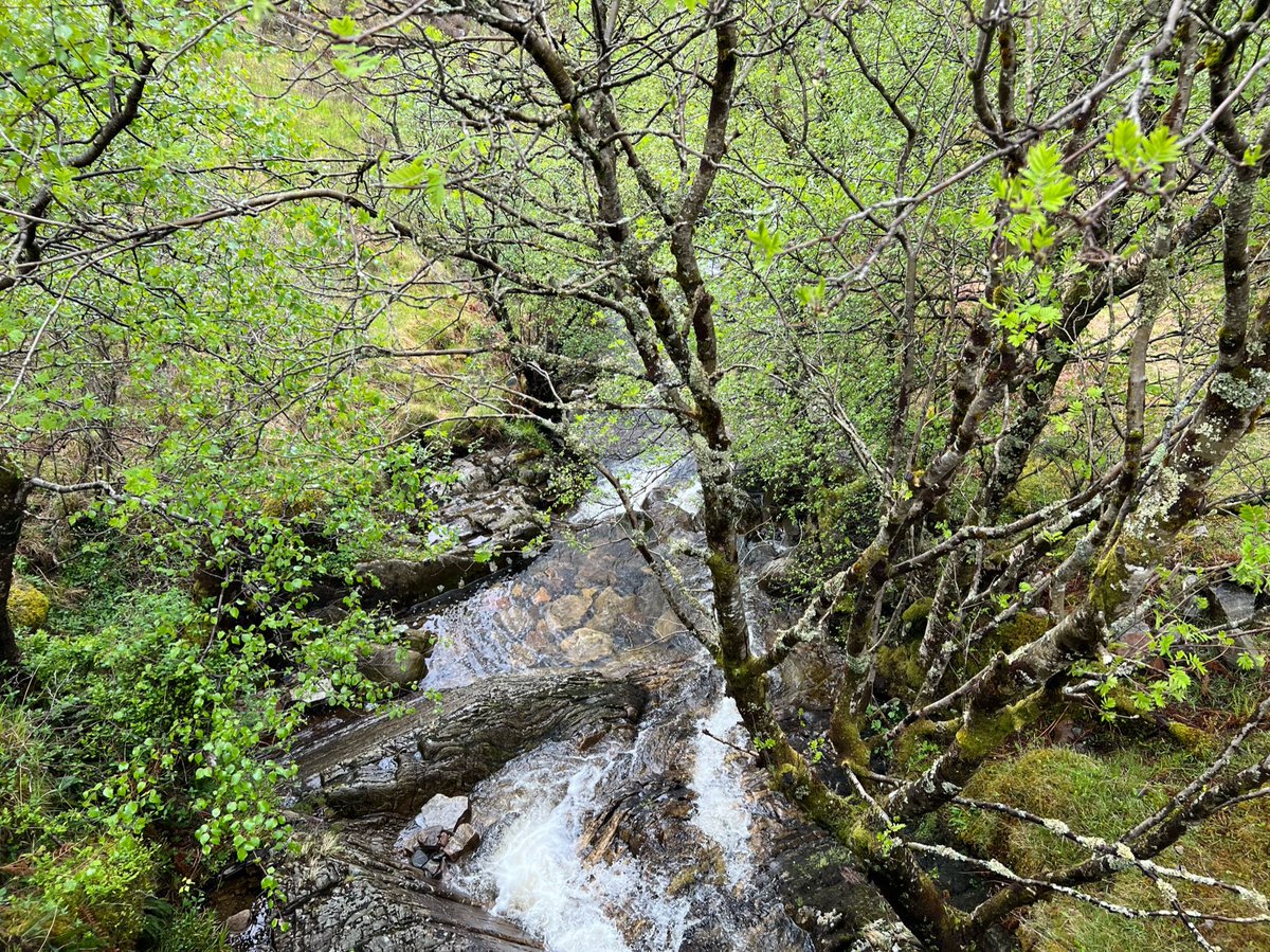
…which all make it slow going but it’s also breathtakingly beautiful. We passed lots of miniature waterfalls… 

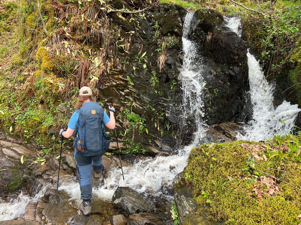
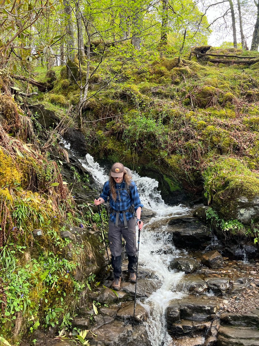
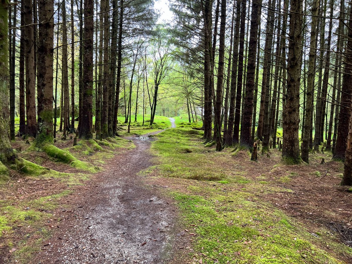
This path through the trees leads to Rowchoish Bothy, which you can just glimpse at the end on the right. 
Around Cailness we bumped into one of the people who we’d last seen on the beach at Sallochy. He was really struggling with the terrain and the heat, and had run out of water. We had plenty to spare, so filled up his flask and reassured him it wasn’t far to the Inversnaid Hotel. 
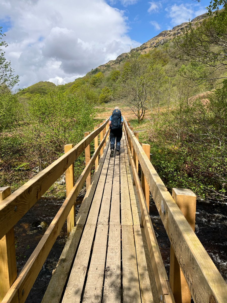
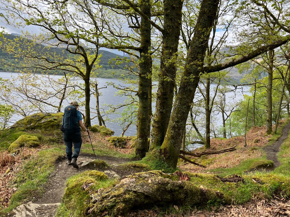
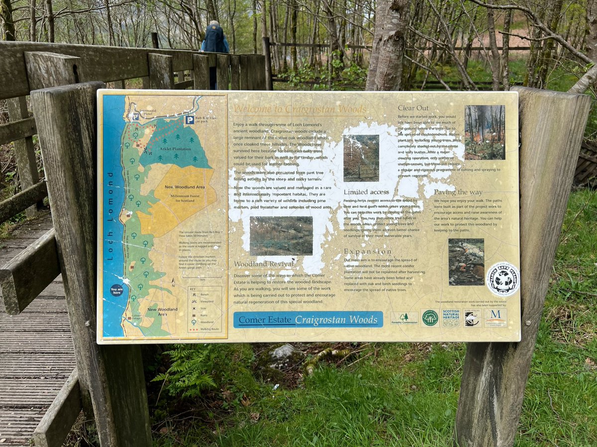
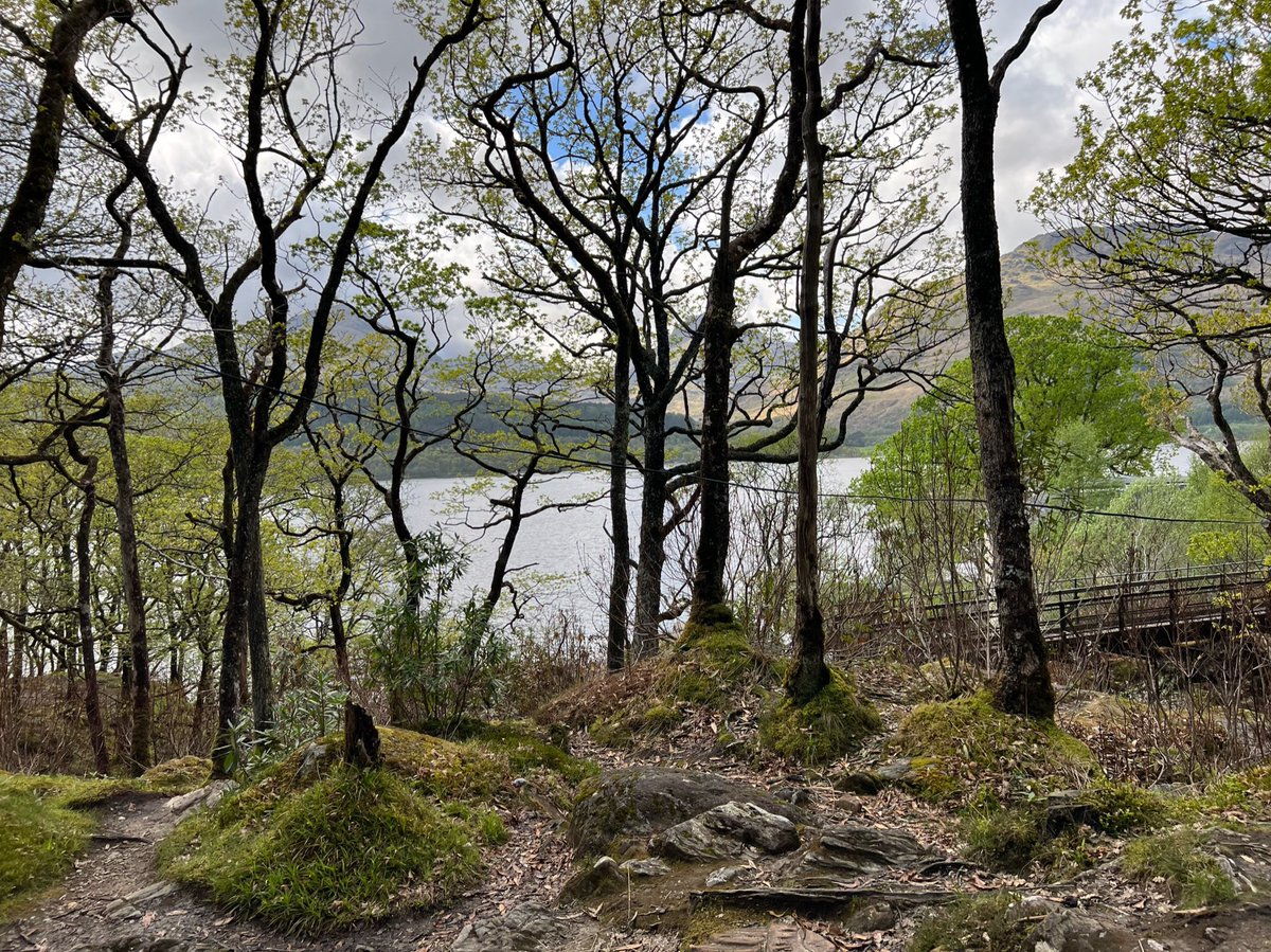
Between Cailness and Inversnaid we passed through Craigrostan Woods which is a SSSI and a rare fragment of ancient Atlantic oak woods. 


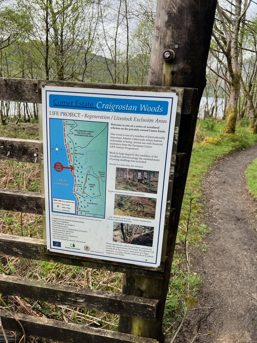
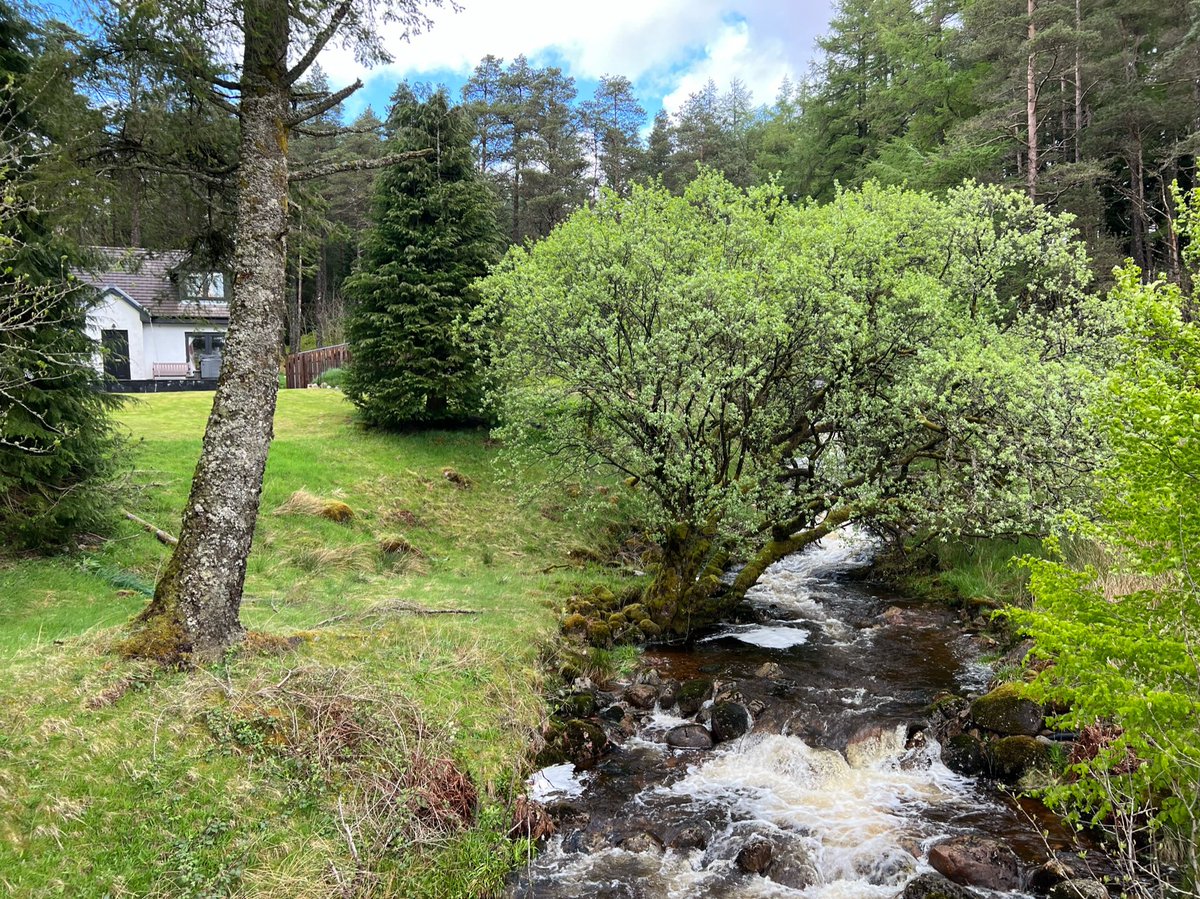
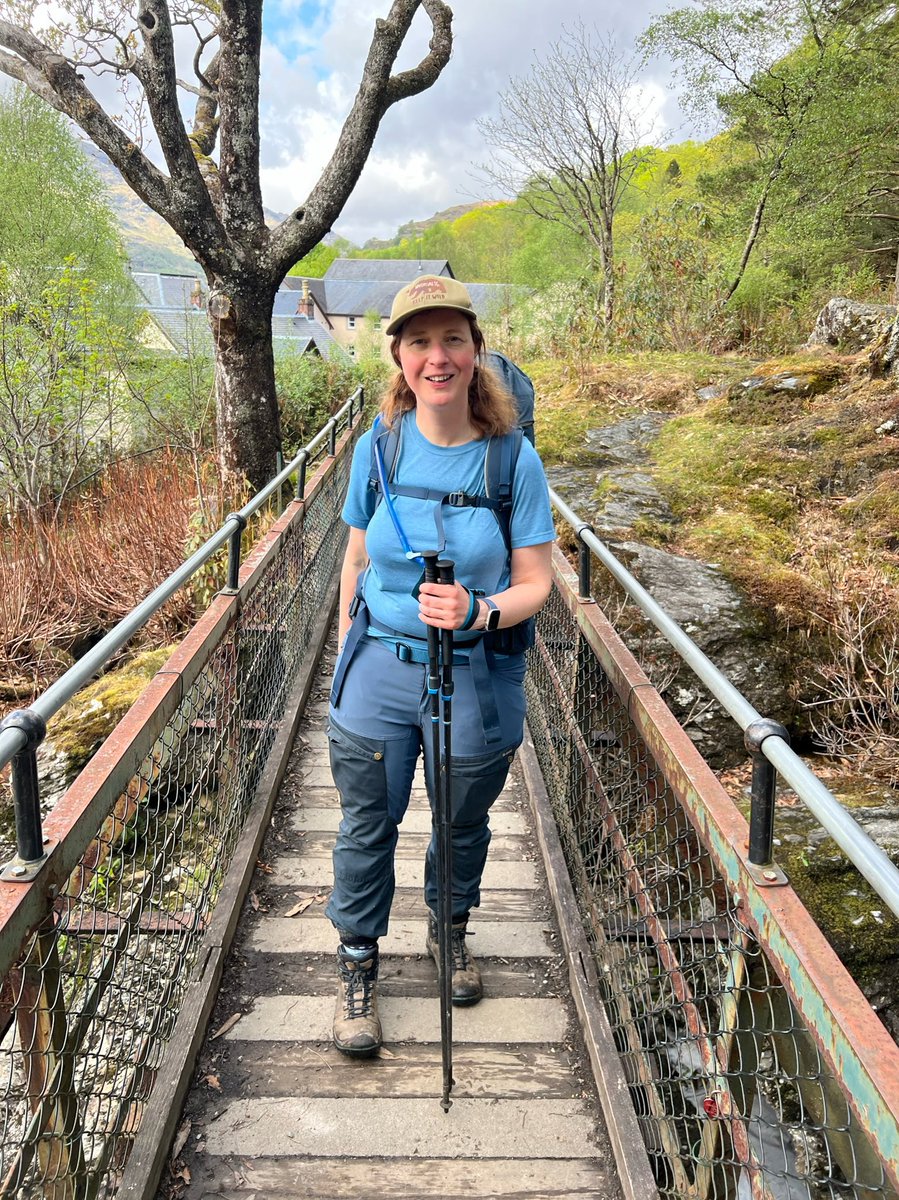
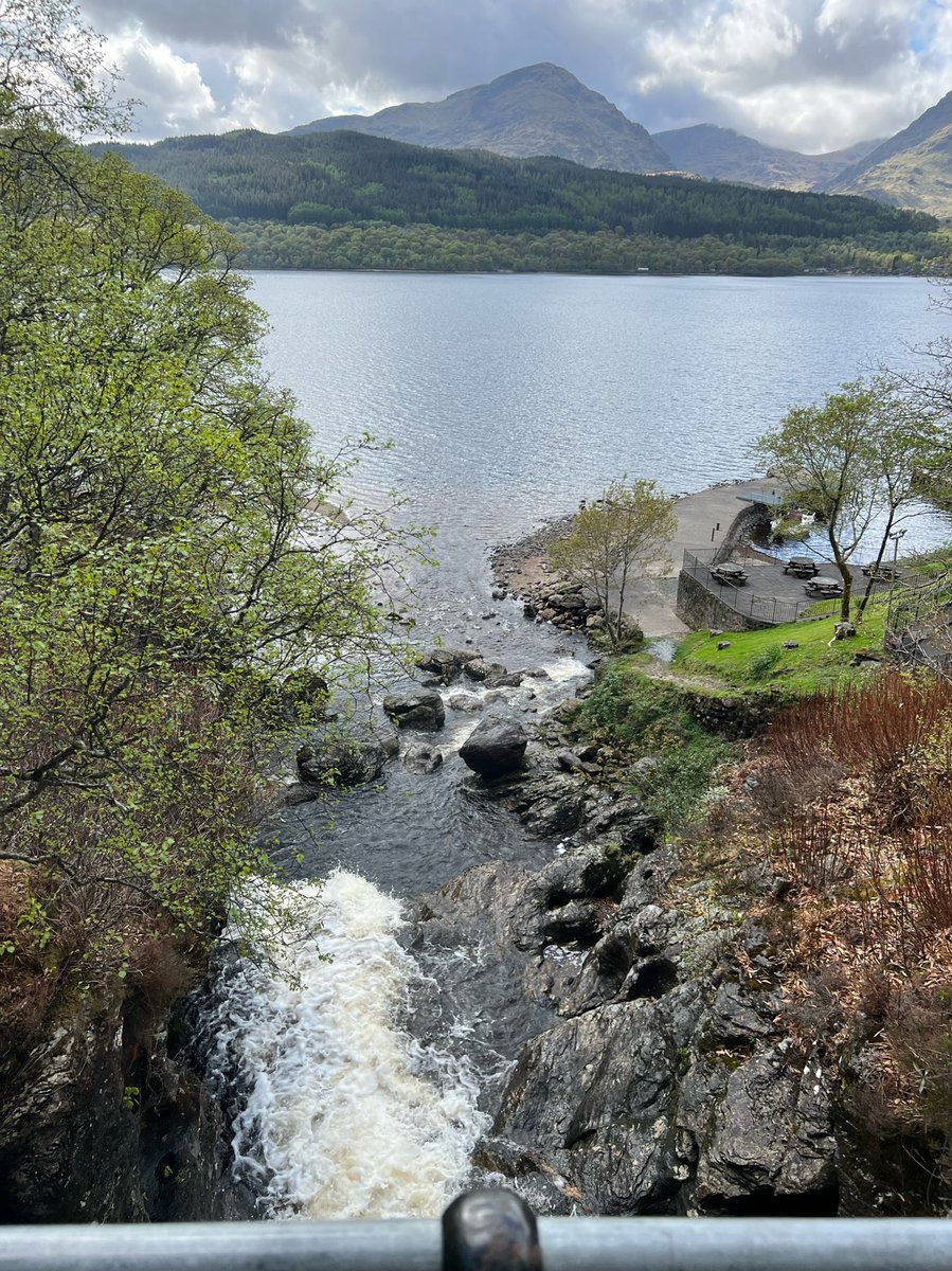
I had to stop on the bridge to do my customary recital of Inversnaid by Gerard Manley Hopkins - one of my dad’s favourite poems. 

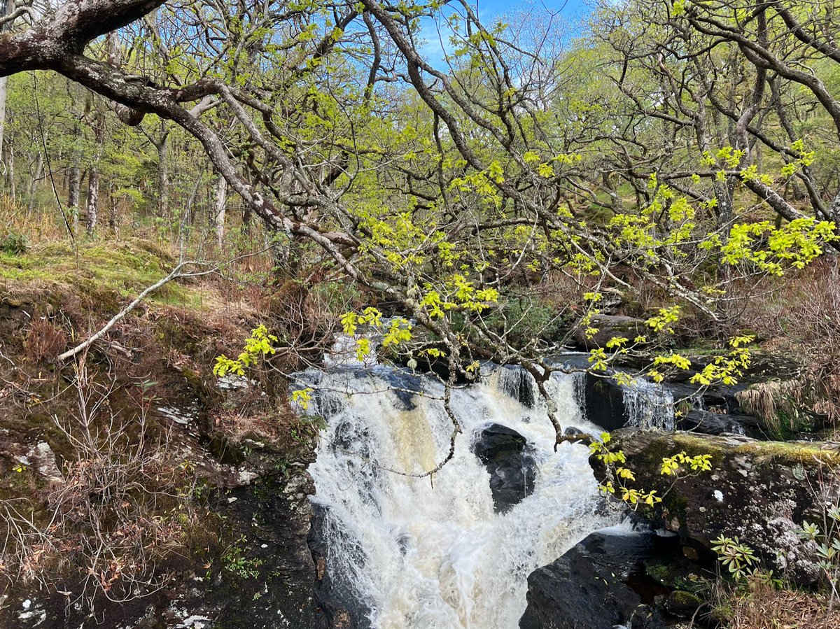
This darksome burn, horseback brown,
His rollrock highroad roaring down,
In coop and in comb the fleece of his foam
Flutes and low to the lake falls home.

His rollrock highroad roaring down,
In coop and in comb the fleece of his foam
Flutes and low to the lake falls home.
We bumped into our friend from earlier again outside the Inversnaid Hotel, as well as several others whom we’d met along the way. The hotel wasn’t doing food - much to the disappointment of a lot of the walkers. Only cakes and drinks as they are suffering from staff shortages. 
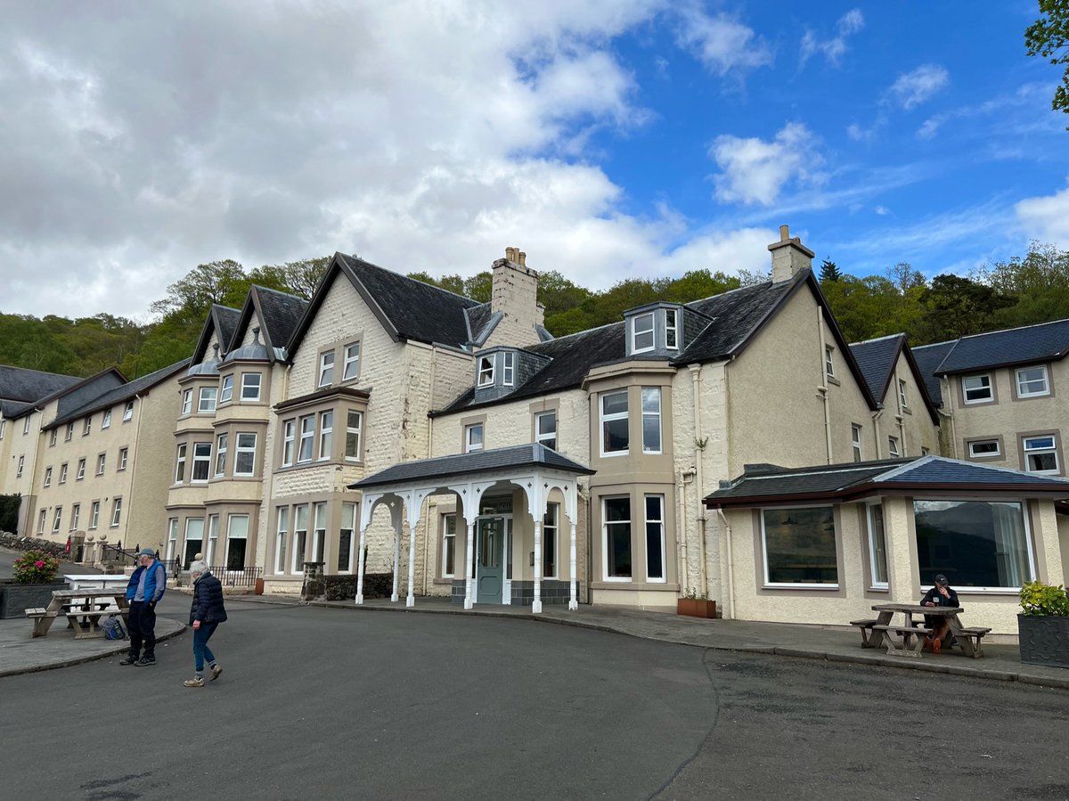
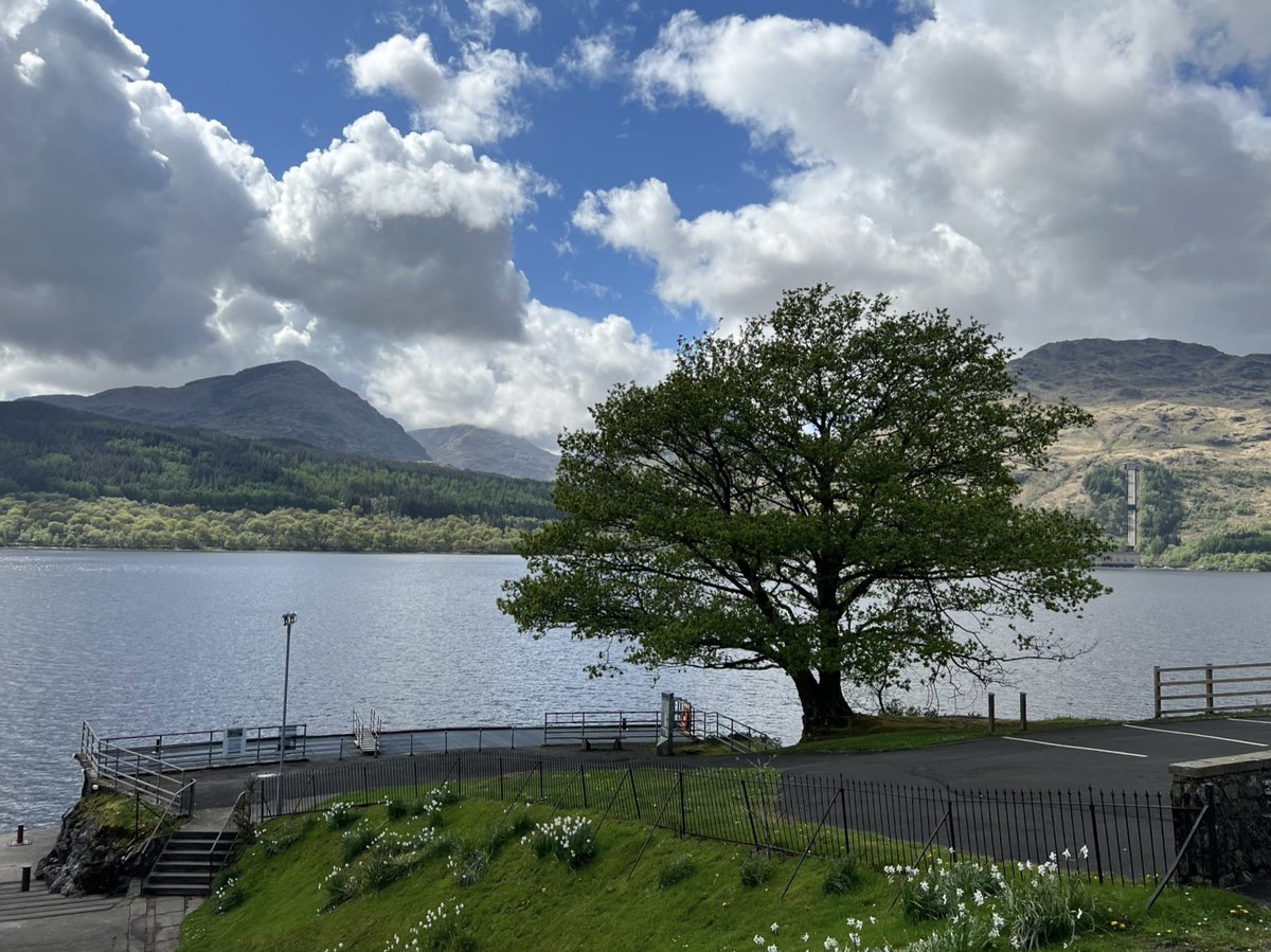
A few of the walkers, including our pal, felt they couldn’t continue in the muggy heat and rough terrain and decided to wait for the boat at Inversnaid, and get a bus up to the campsite at Beinglas Farm. So we said goodbye and hopefully see you later, and left them at the jetty. 
One of the things people were struggling with was heavy packs. Some were carrying 3 days of food supplies. There is absolutely no need to do this on WHW. Not a day will go by when you can’t resupply. In fact depending on budget constraints you could eat out for almost every meal. 
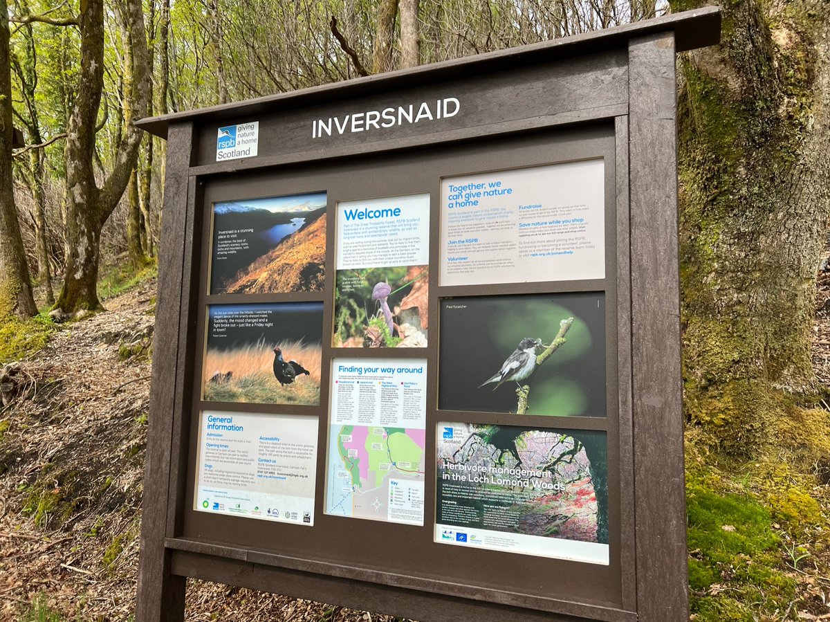
There is an RSPB reserve at Inversnaid and we saw some pied flycatchers and heard wood warblers. You can get here on the boat and there are nature trails, so it’s well worth visiting in its own right. You might even see peregrines, ospreys and golden eagles. 
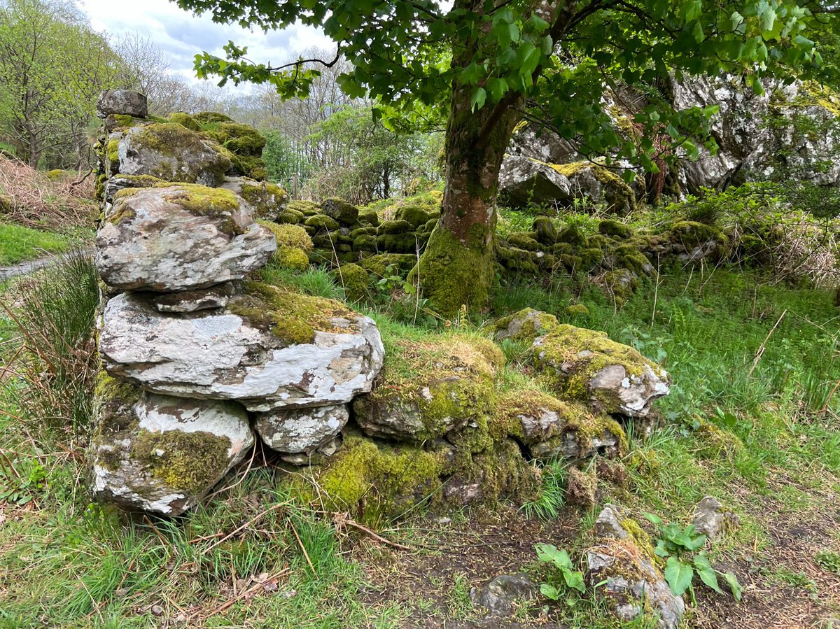
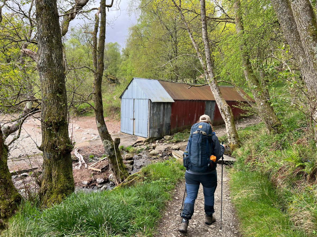
After Inversnaid we passed a corrugated iron boathouse. I always find these kind of places intriguing - who owns it? Is it still used? Above the boathouse are the ruins of an old settlement called Cladachbeag which you can reach via a steep path. But we continued on the WHW. 
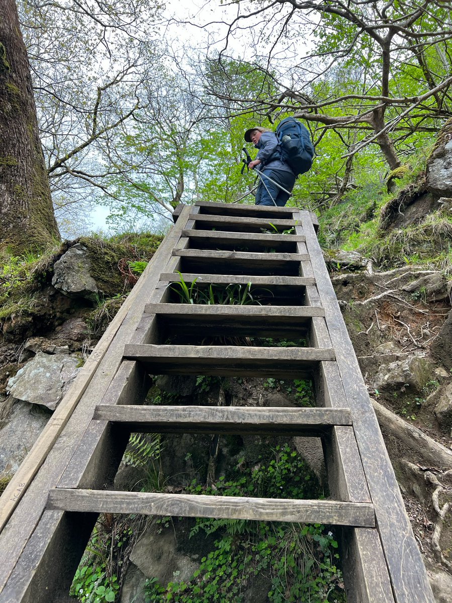
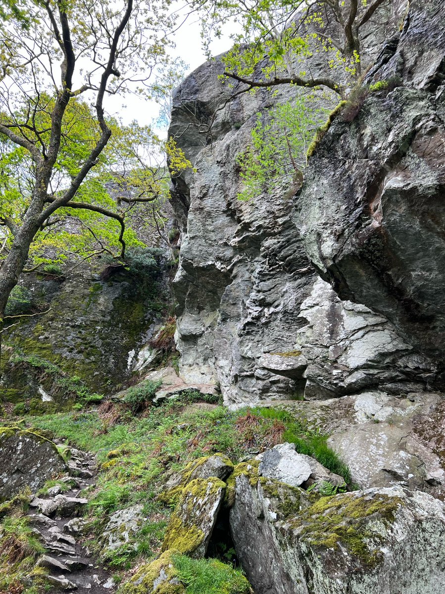
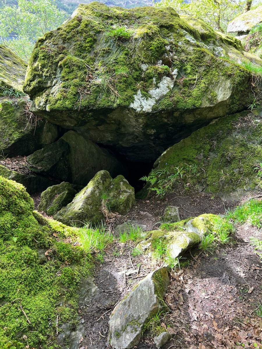
Rob Roy’s Cave is marked by an exciting looking ‘tourist feature’ star on the OS map and you can scramble down to it but there’s not much to see, so we continued on our way. The path is very steep and rocky here and you need to clamber over the boulders. 


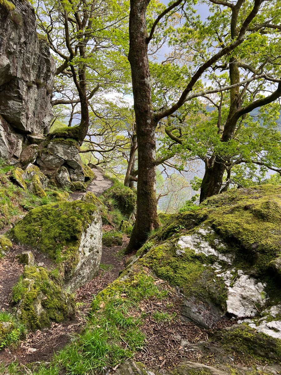
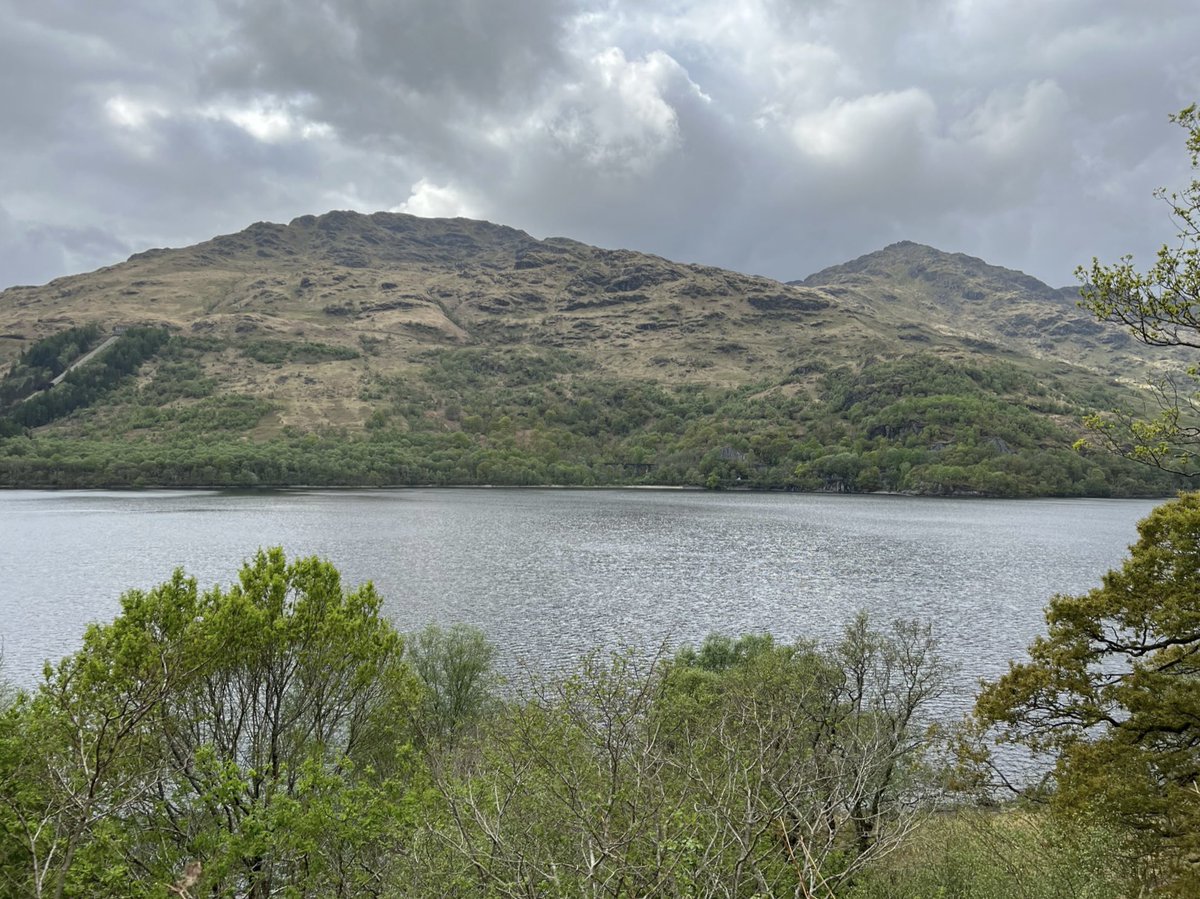
After the cave the path climbs up, before coming out in a small clearing with very sweet and unexpected oak leaf and acorn themed seats. From here we enjoyed great views across the loch above the tree canopy. 


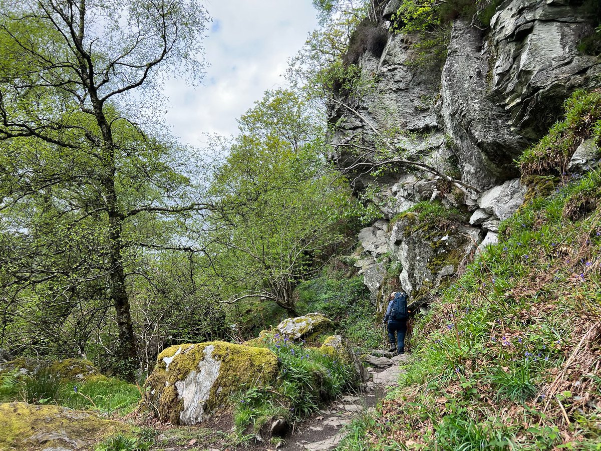

The woodland along this section in Pollochro Woods is ancient coppice which I think was used for charcoal and leather tanning. It’s a SSSI. 


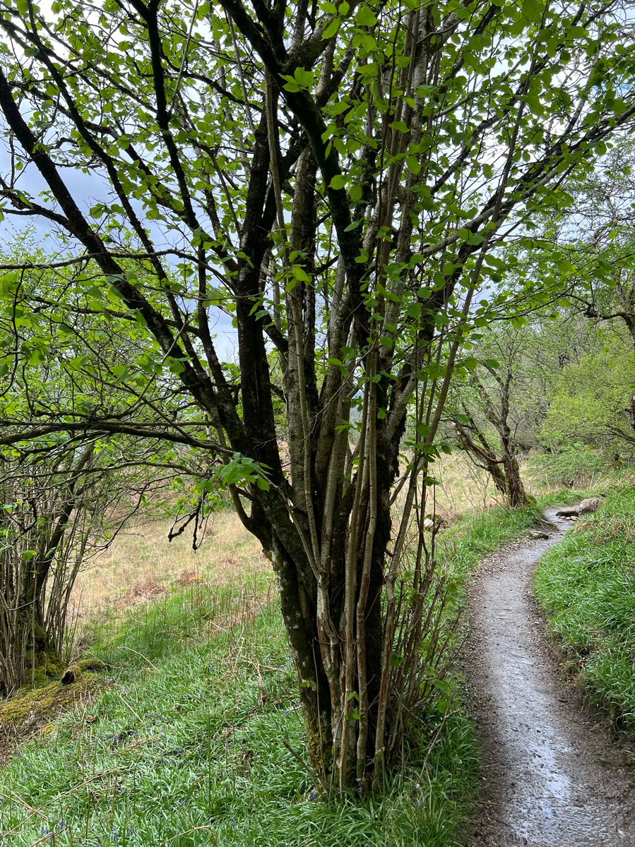
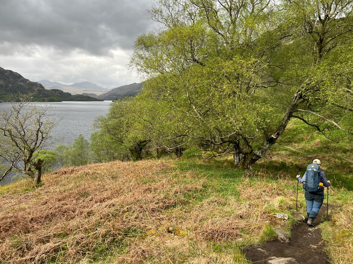
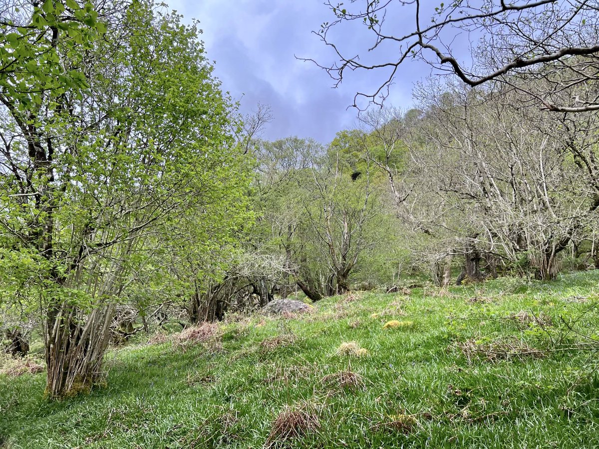
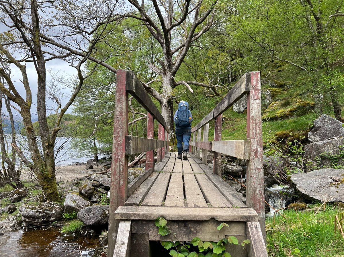
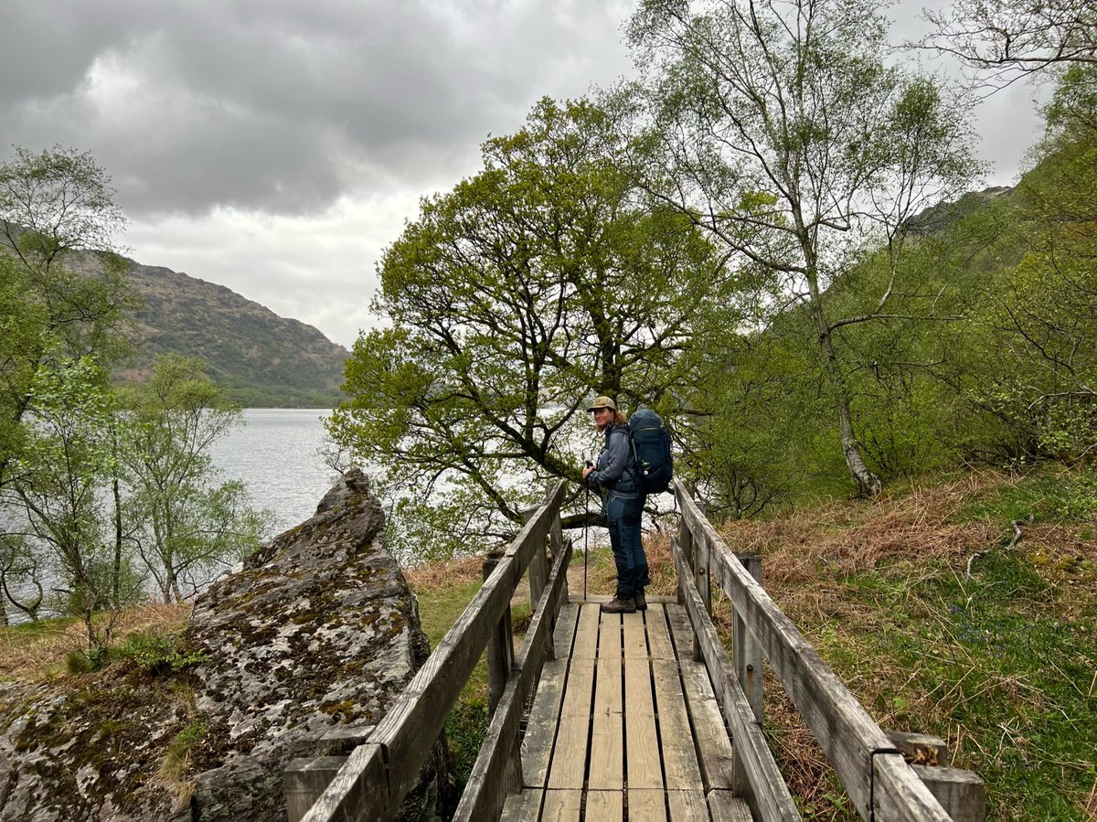
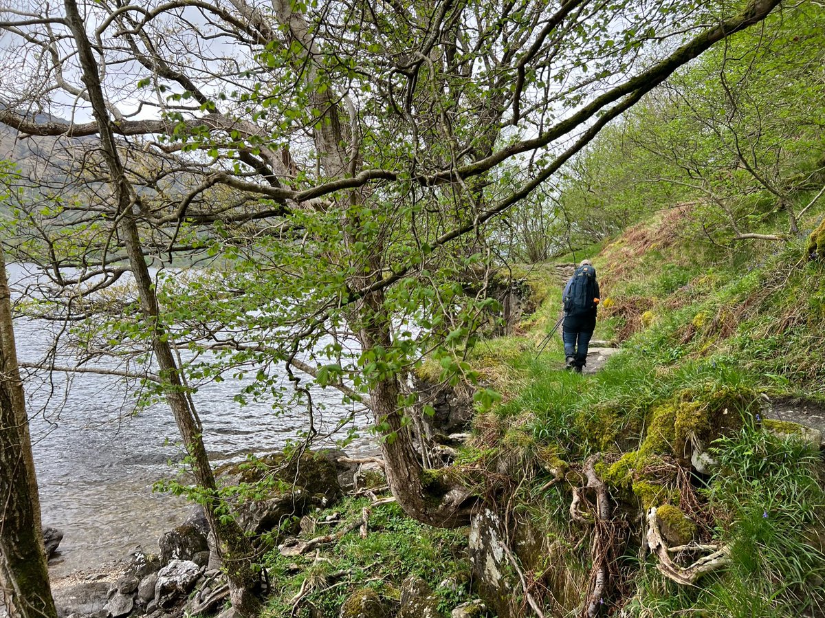
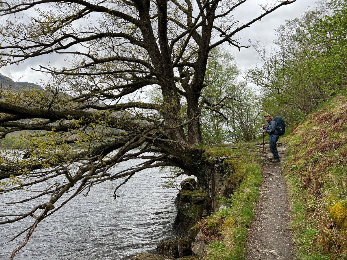
We crossed a footbridge and followed the path right along the loch shore, with some interesting-shaped trees clinging onto the edge. 


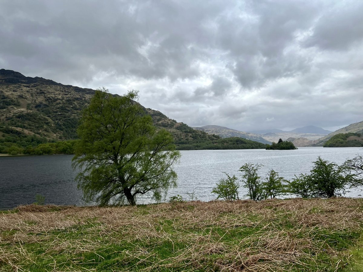
And then we got views of Island I Vow. The island was a stronghold of Clan MacFarlane, and there are the remains of their castle on it, which was built to replace the one on Inveruglas Isle (south of here opposite Inversnaid). 
We were excited to catch a glimpse of a train speeding along the West Highland Line on the western side of the loch. We’ve looked out the train window at the view of where we were so many times, and said we’d like to be there one day, and now we were! 

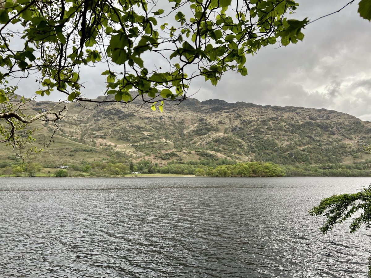
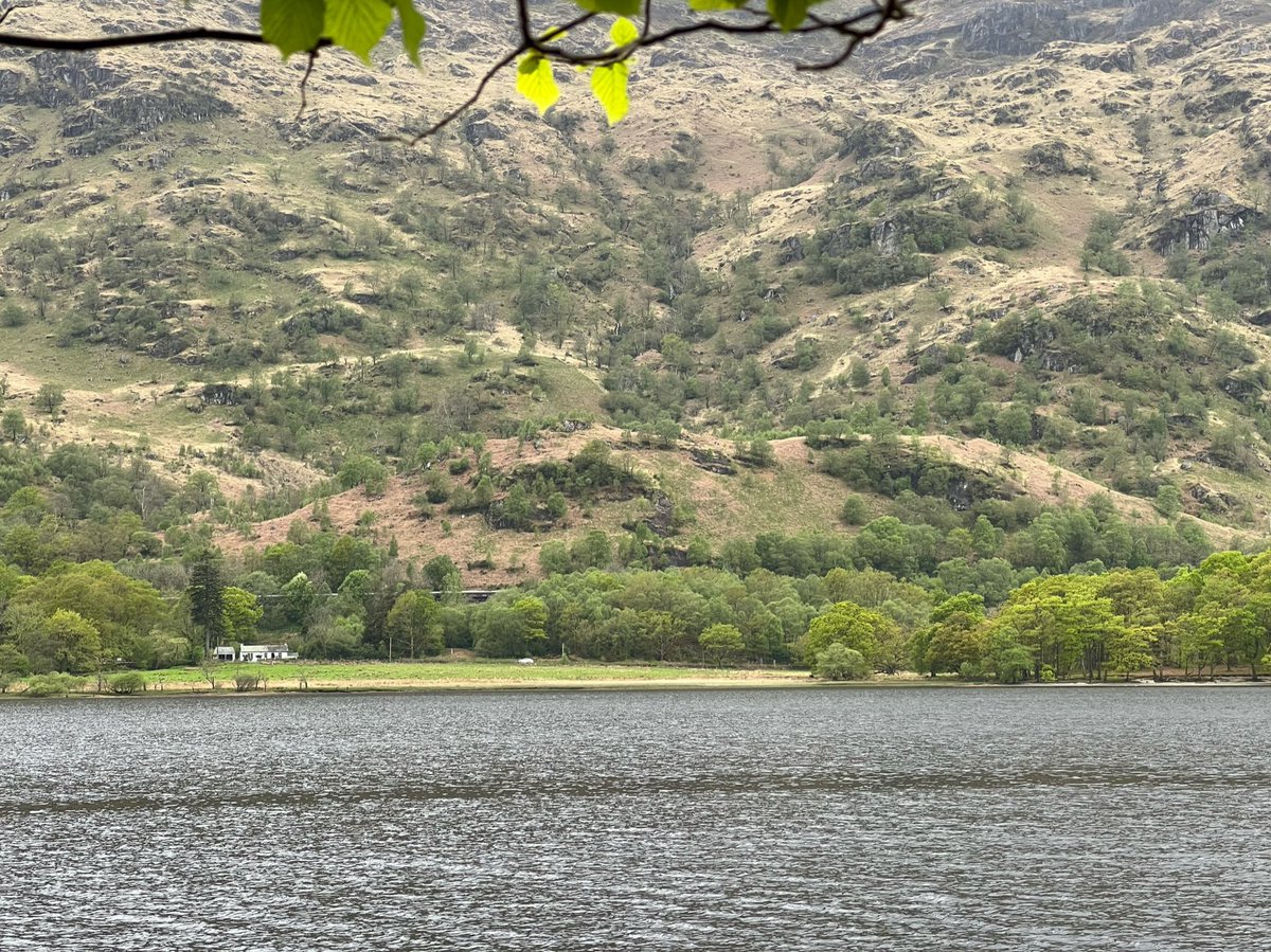
Around here we crossed from Stirling council into Argyll and Bute. The path is rough going with rocks and tree roots underfoot, and more coppice and ancient woodland. 


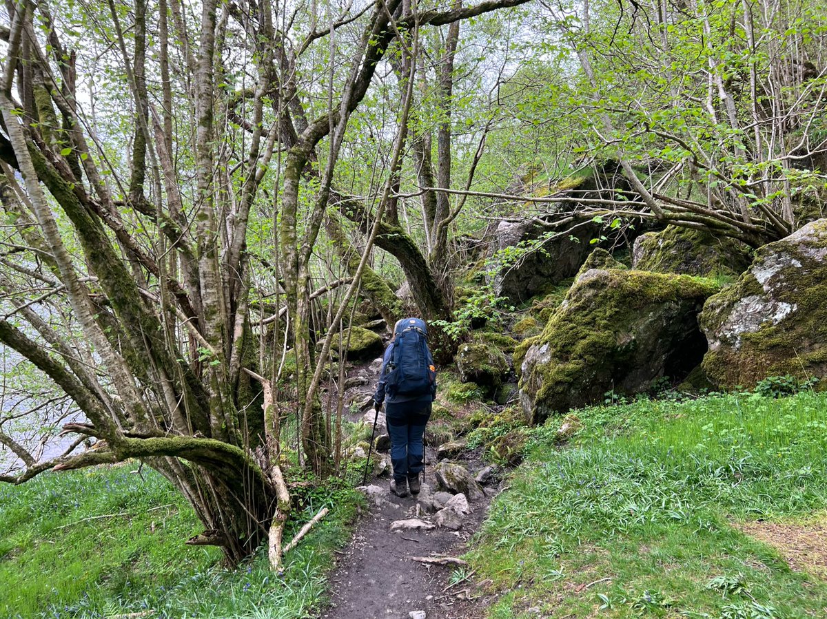
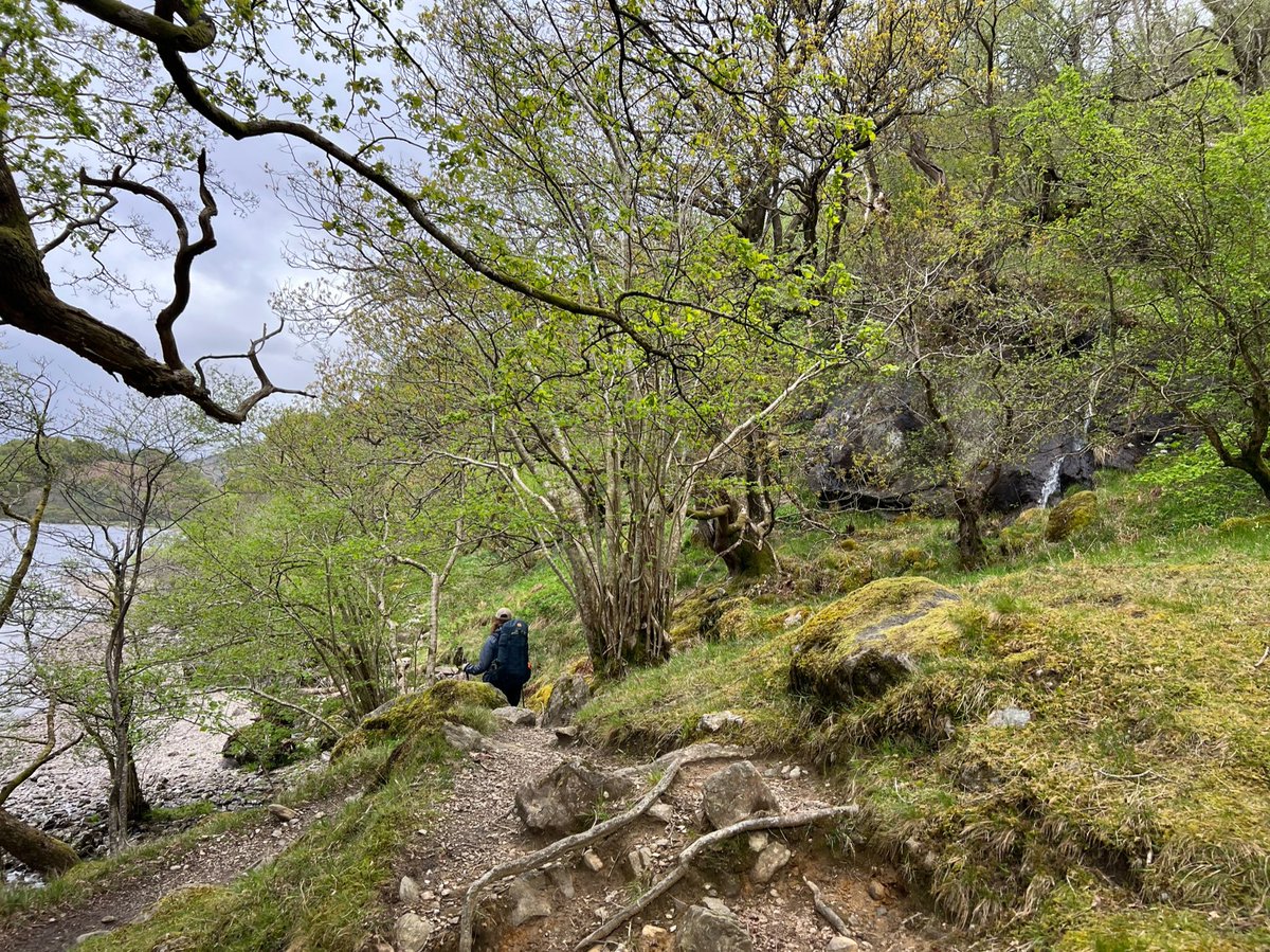
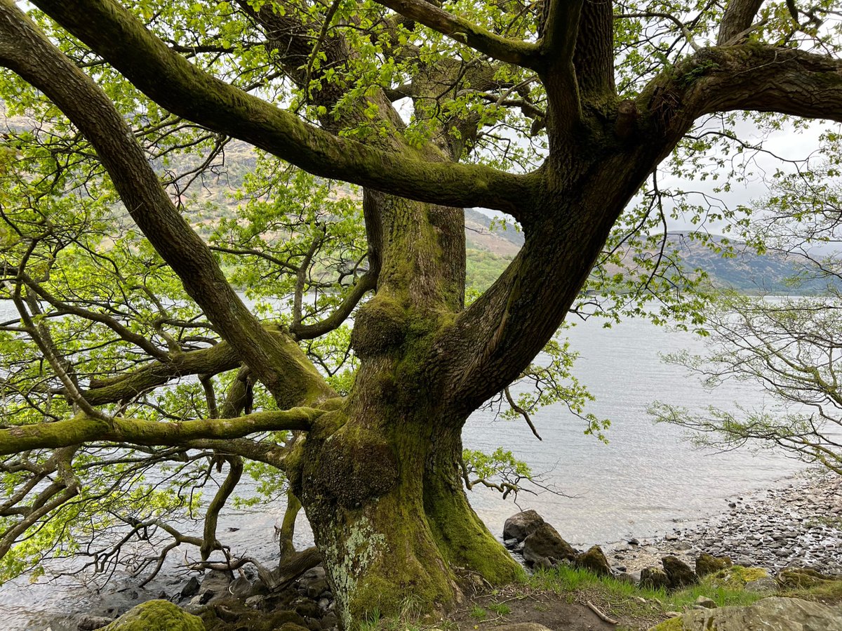
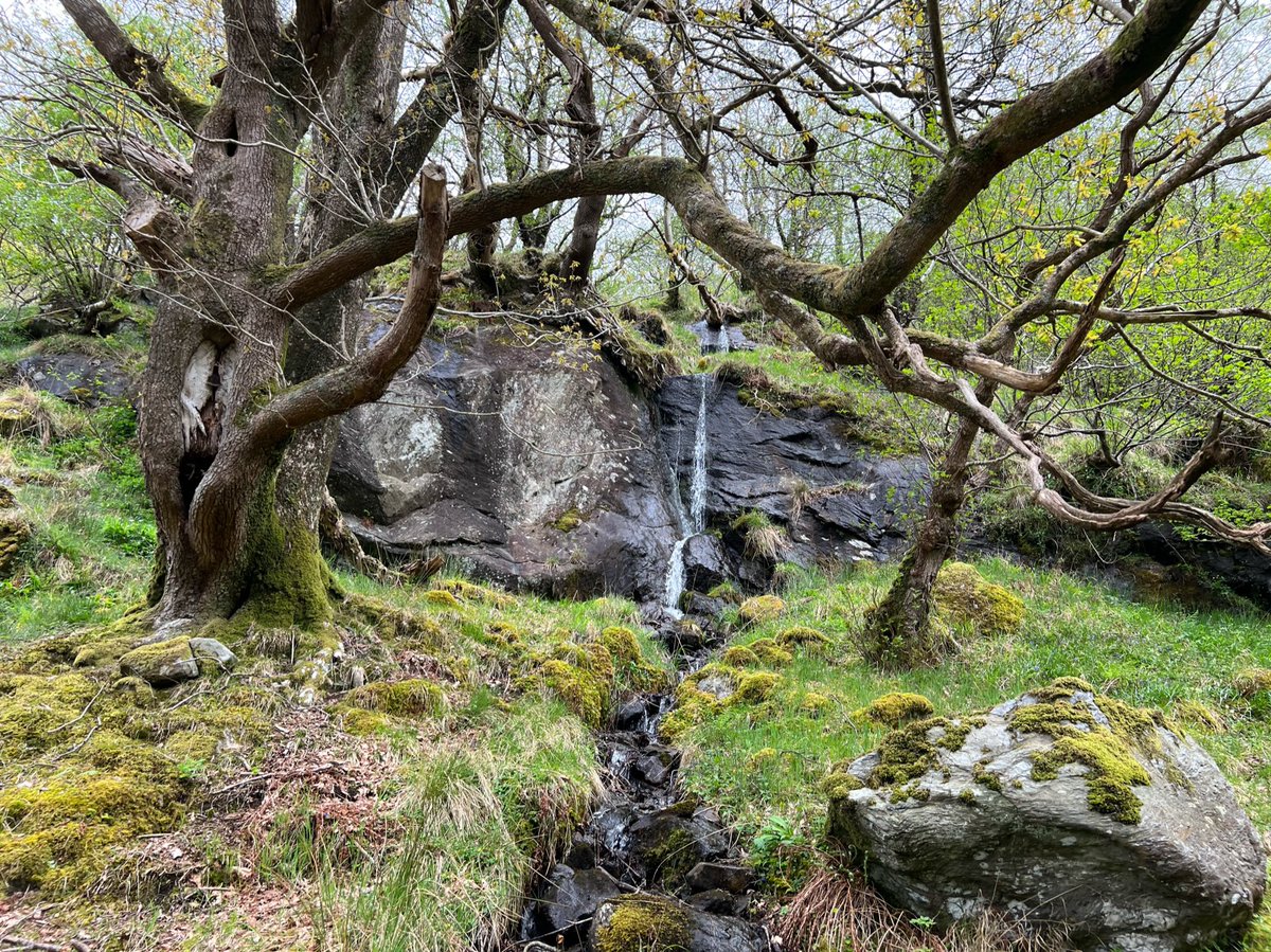
The going suddenly got a lot easier nearing the head of the loch, with open sandy beaches, and clear paths across open ground - leading to Doune. 


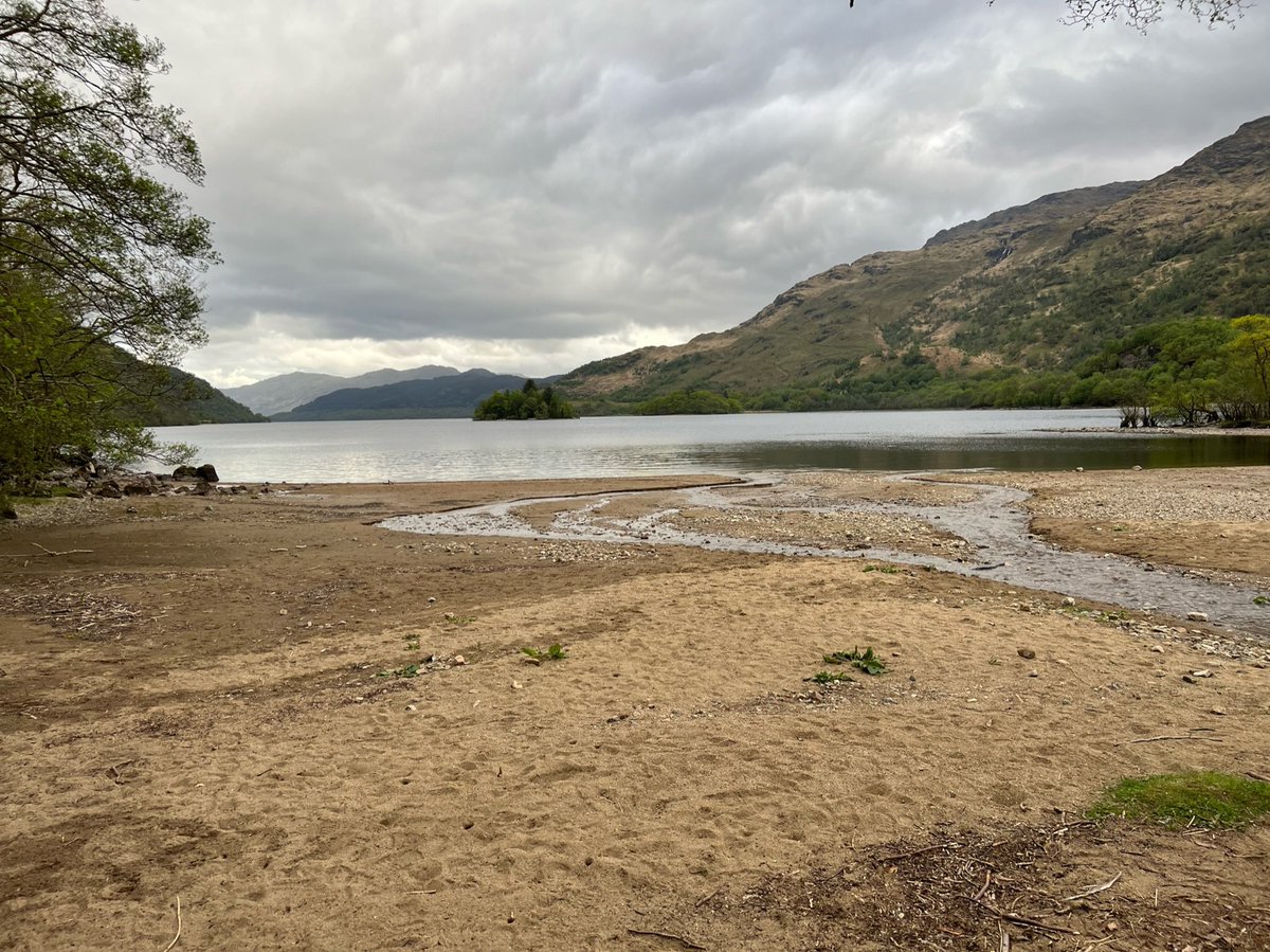
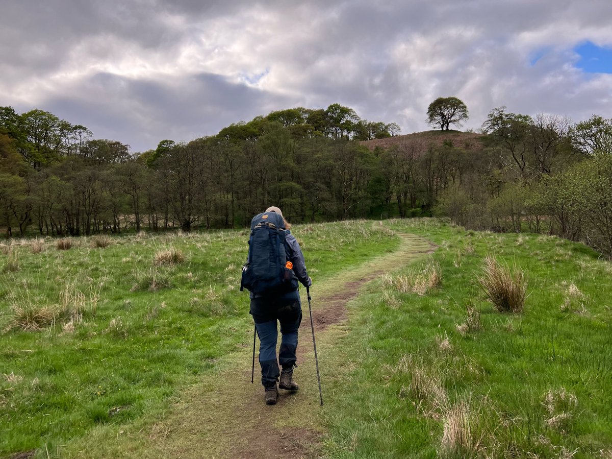
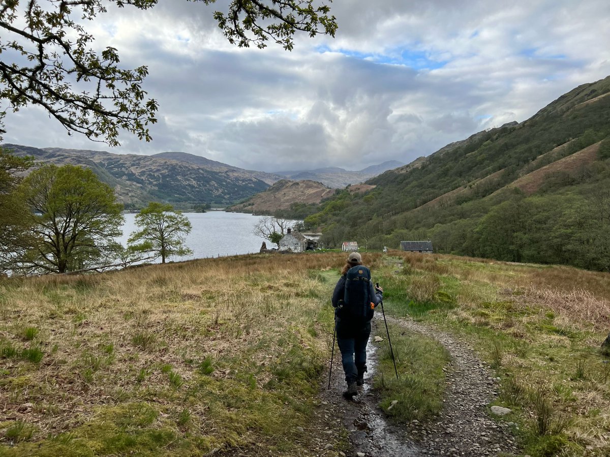
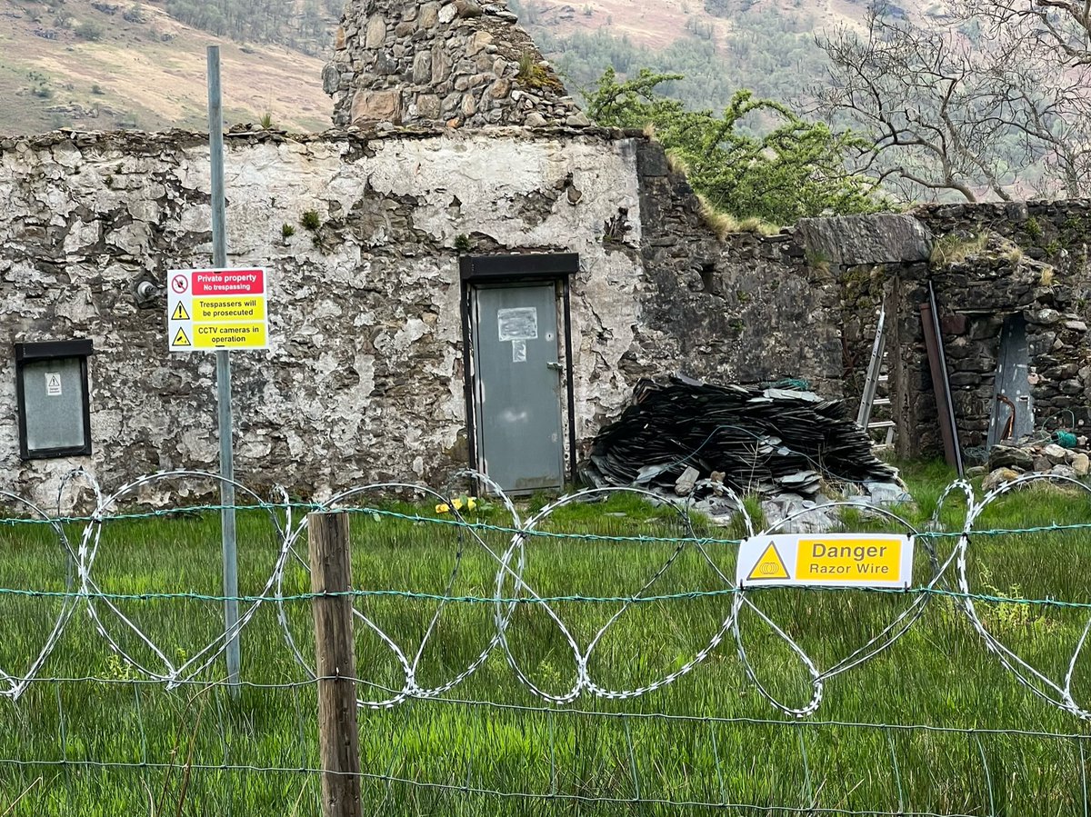
At Doune there is an abandoned farmhouse surrounded by razor wire and ‘danger’ ‘no trespassing signs’ claiming there is Cctv there. 

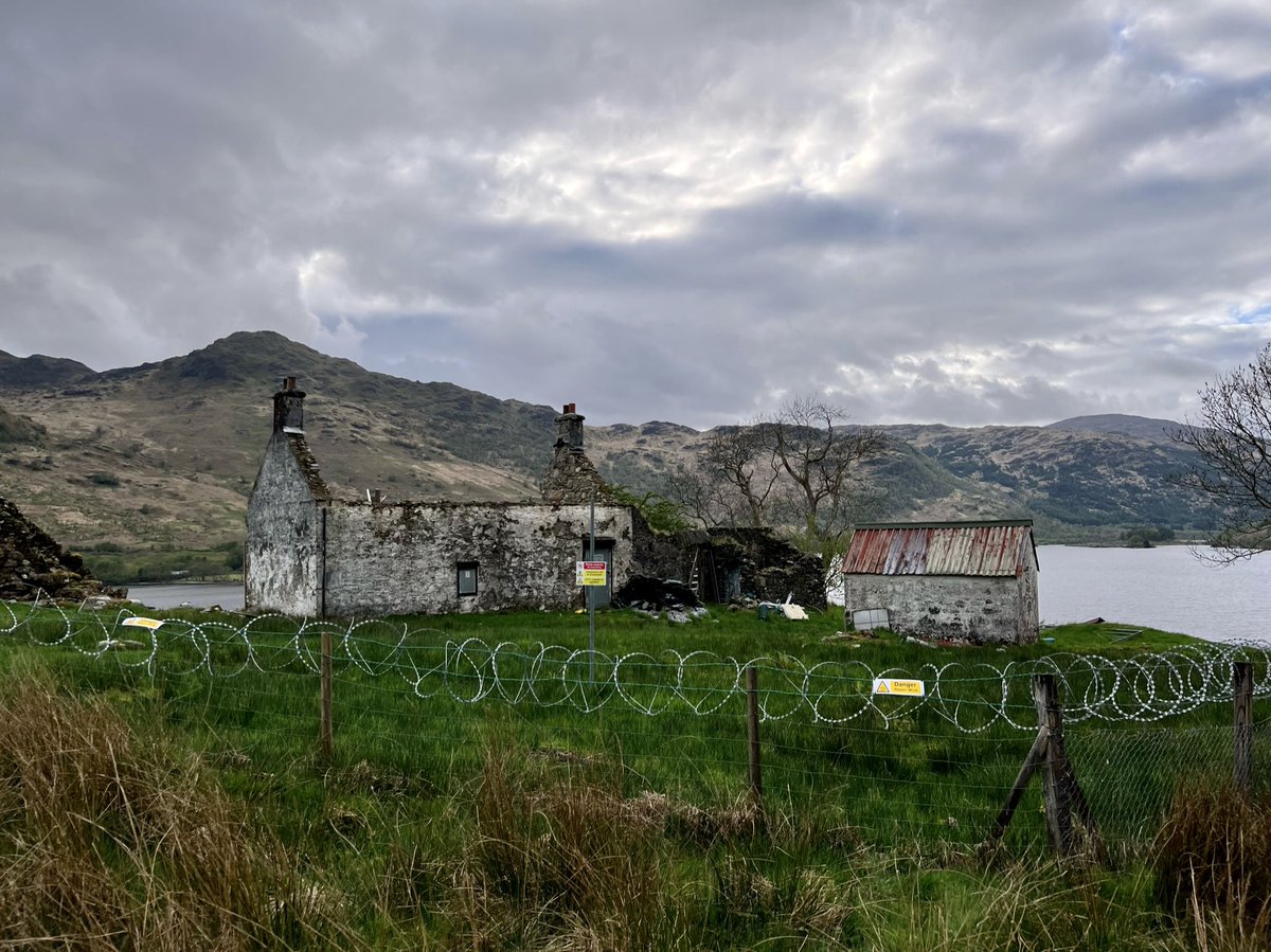
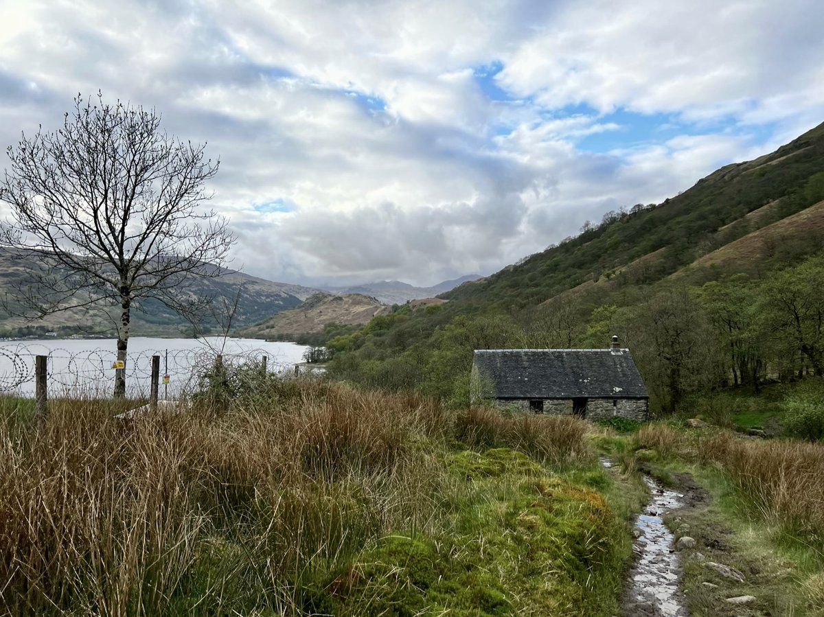
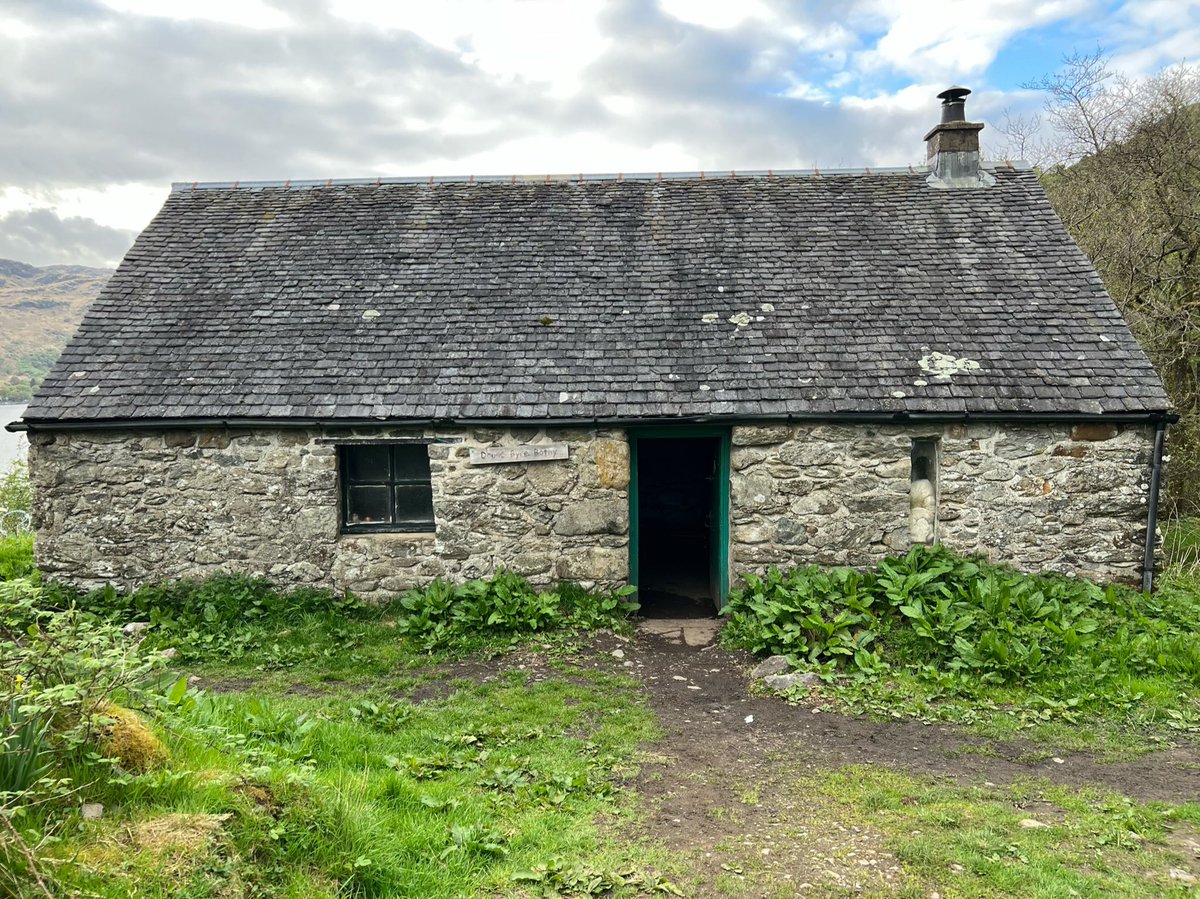
And next to it there is an MBA bothy called Doune Byre. Ian poked his head around the door to have a look, and someone was already cosily ensconced in there for the night. 

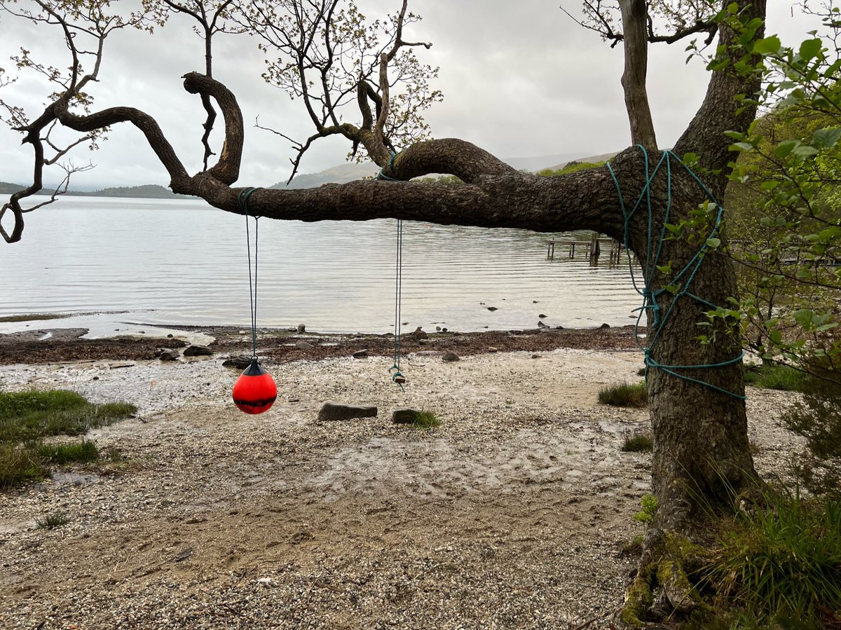
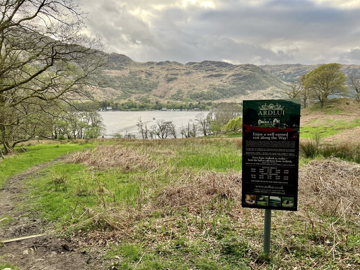
We came across this sign about the ferry at Ardleish. It goes to Ardlui where there is a small holiday park and bus stop. It says, “Enjoy a well earned
rest along the Way! Hoist the ball to call ferry.” And someone must have done because the 19:10 had just left - exactly on time!
rest along the Way! Hoist the ball to call ferry.” And someone must have done because the 19:10 had just left - exactly on time!
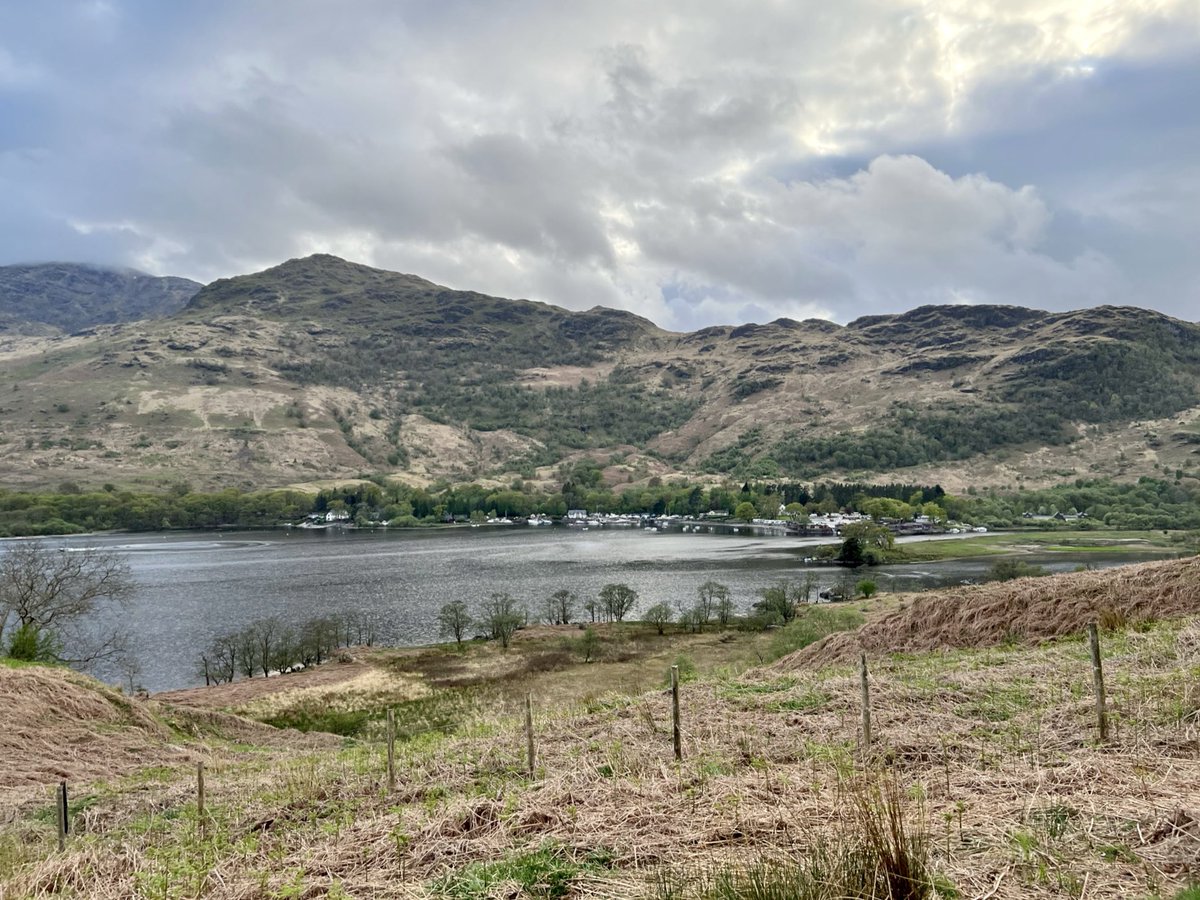
There are more cottage ruins at Ardleish. After that the path climbs steeply, giving us our last views of Loch Lomond. We bid her a fond farewell - it felt like leaving an old friend after spending all this time along her bonnie banks. 


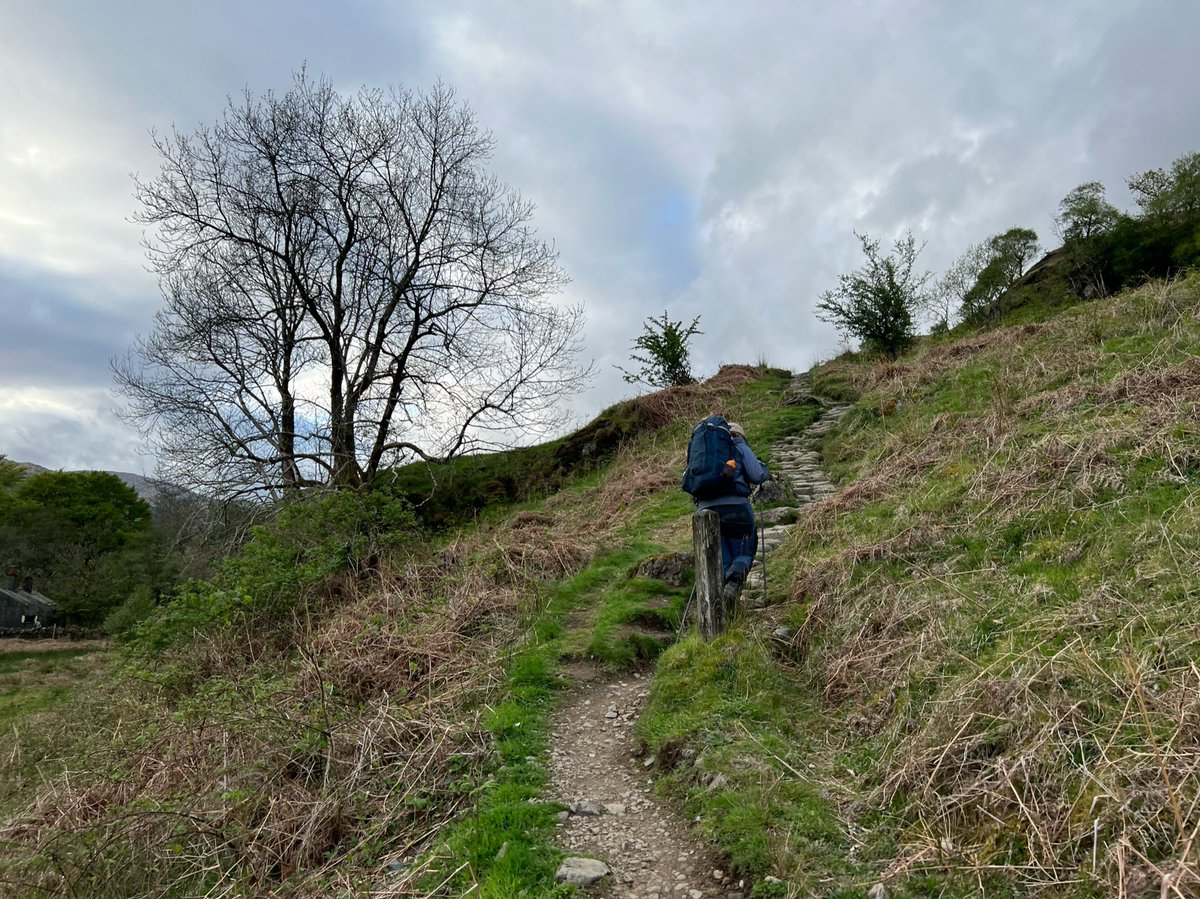
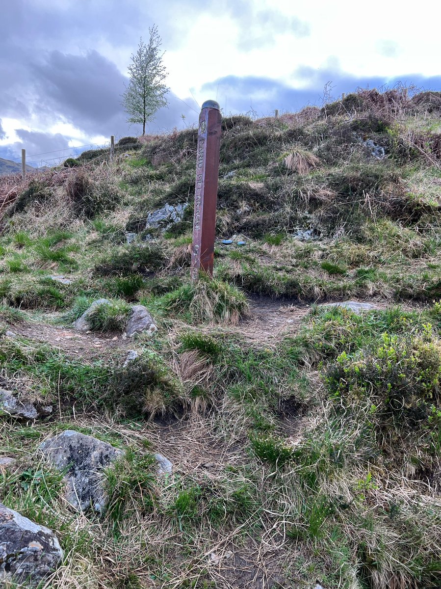
Just east of Cnap Mòr there is a memorial to Dario Melaragni, who was a director of the West Highland Way Race - one of the world’s longest established ultra marathons.
The current race record holder is Rob Sinclair with a time of 13 h 41 m 8 s! We were planning to take 8 days!
The current race record holder is Rob Sinclair with a time of 13 h 41 m 8 s! We were planning to take 8 days!
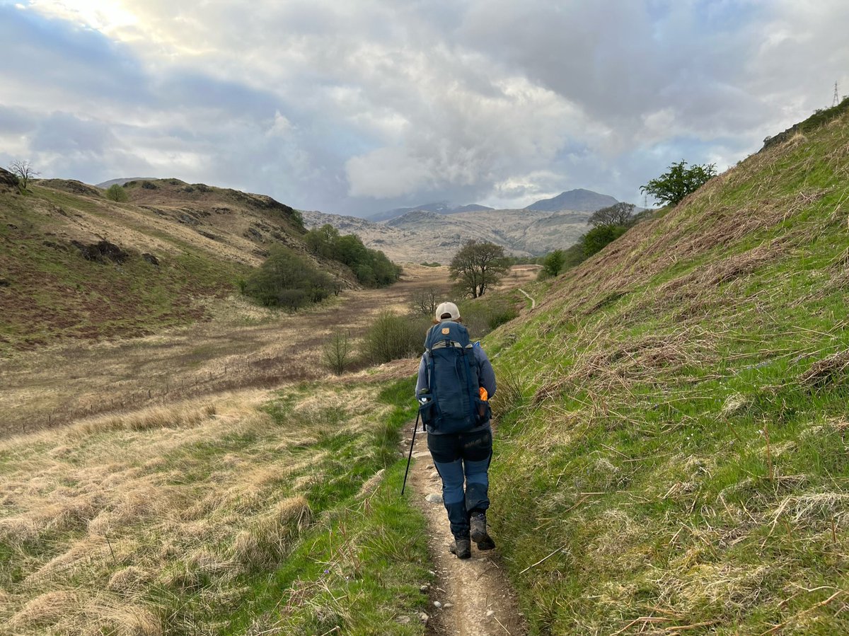
We had about 3km more to walk before reaching Inverarnan. Firstly across open ground east of Cnap Mòr, with views of the mountains to the north (if you’re into place names, in Gaelic ‘Cnap’ is a lump or knob, and ‘Mòr’ is great). Then down through woodland to the River Falloch. 

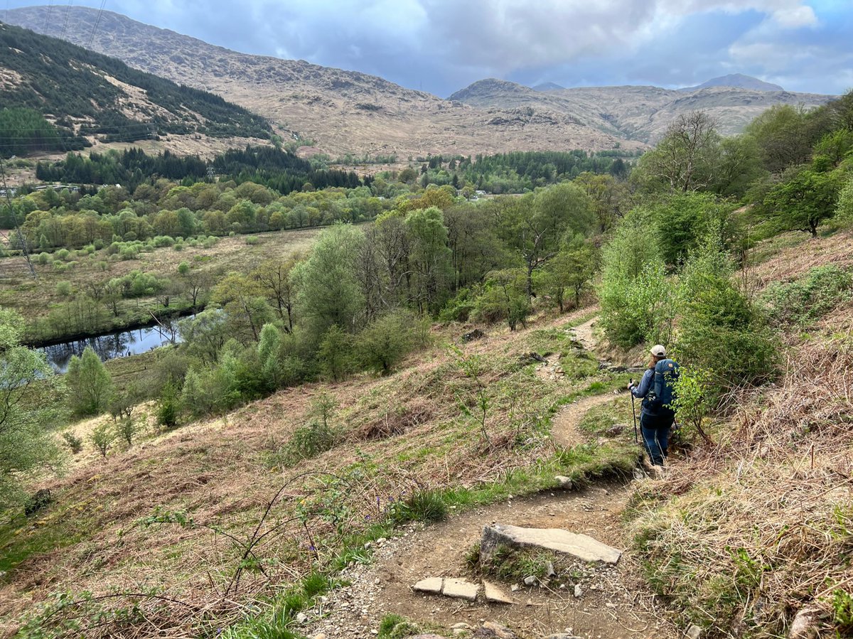
We finally reached the footbridge across Ben Glas Burn which leads to Beinglas Farm campsite - a sight for sore eyes! 

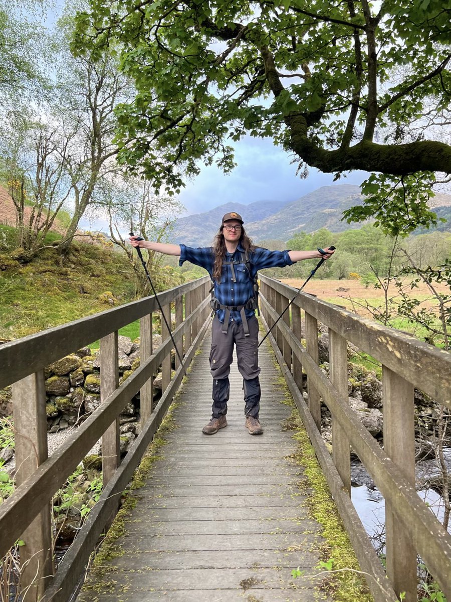
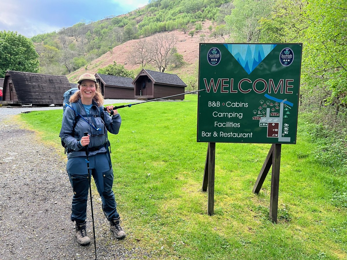
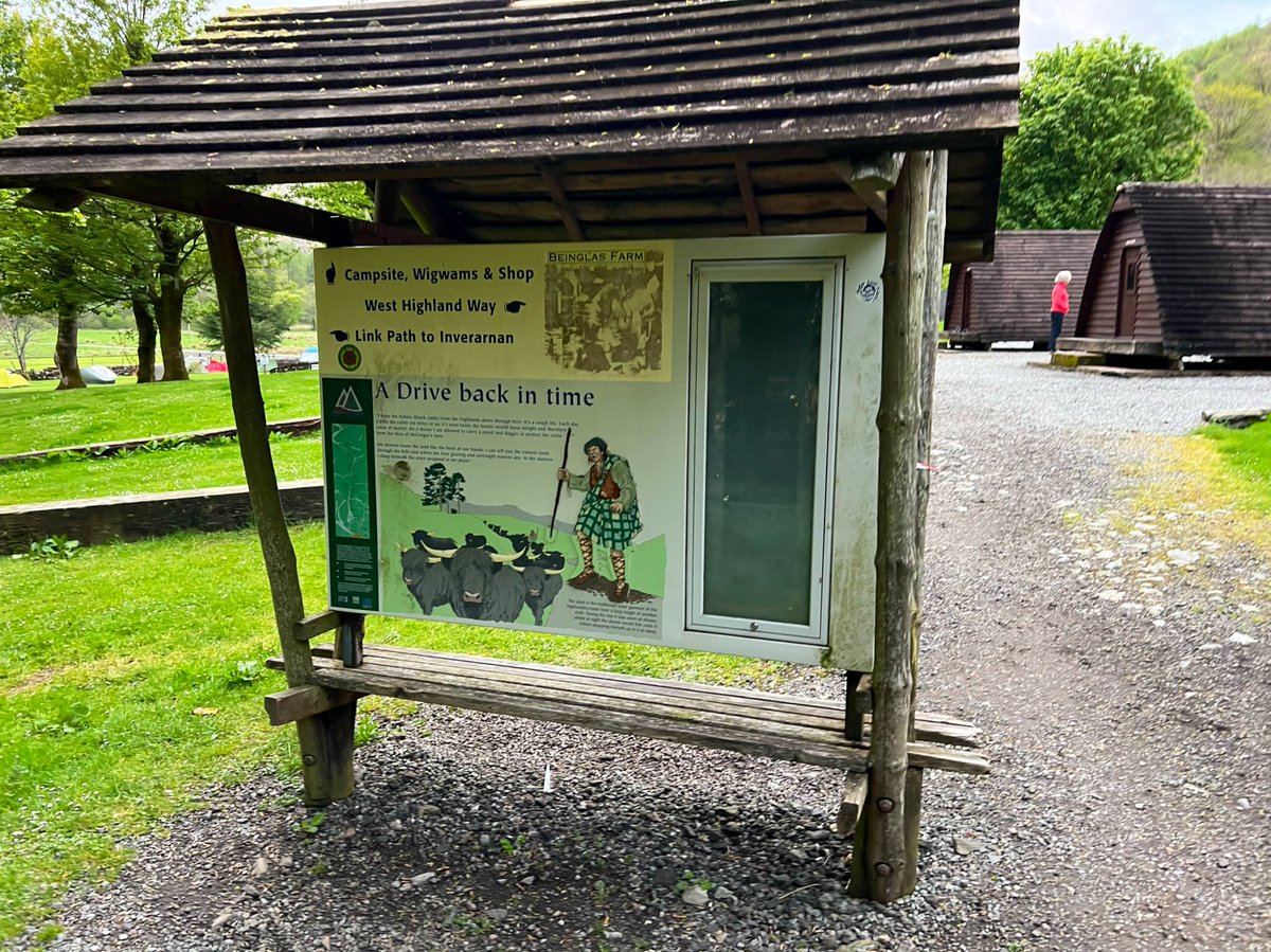
Our pals who’d got the ferry from Inversnaid were already there in the beer garden of the excellent campsite pub. When they’d reached the other side of the loch there wasn’t a bus for ages but they’d hitched a ride. So we joined them for a drink of course! 

🥾 Day 4
Inverarnan to Tyndrum 19.2km
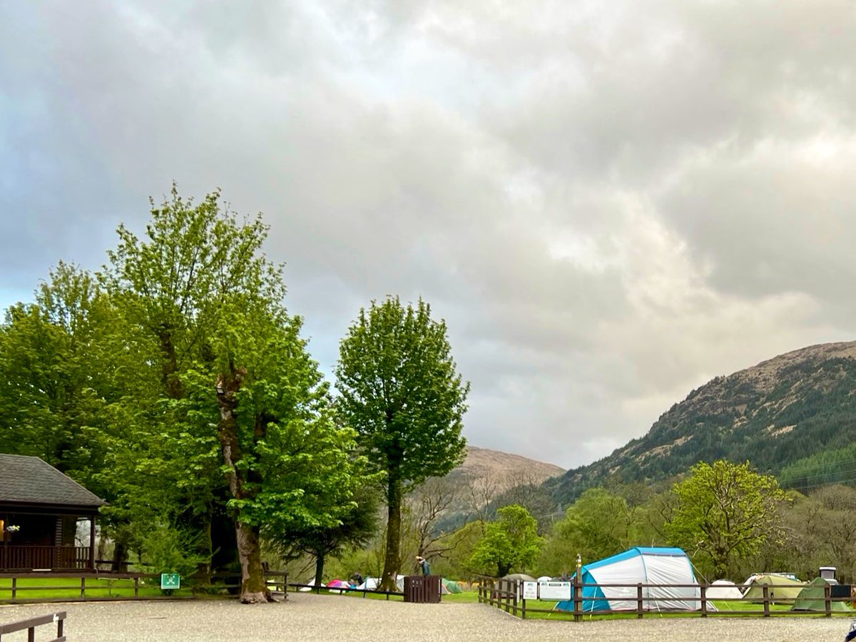
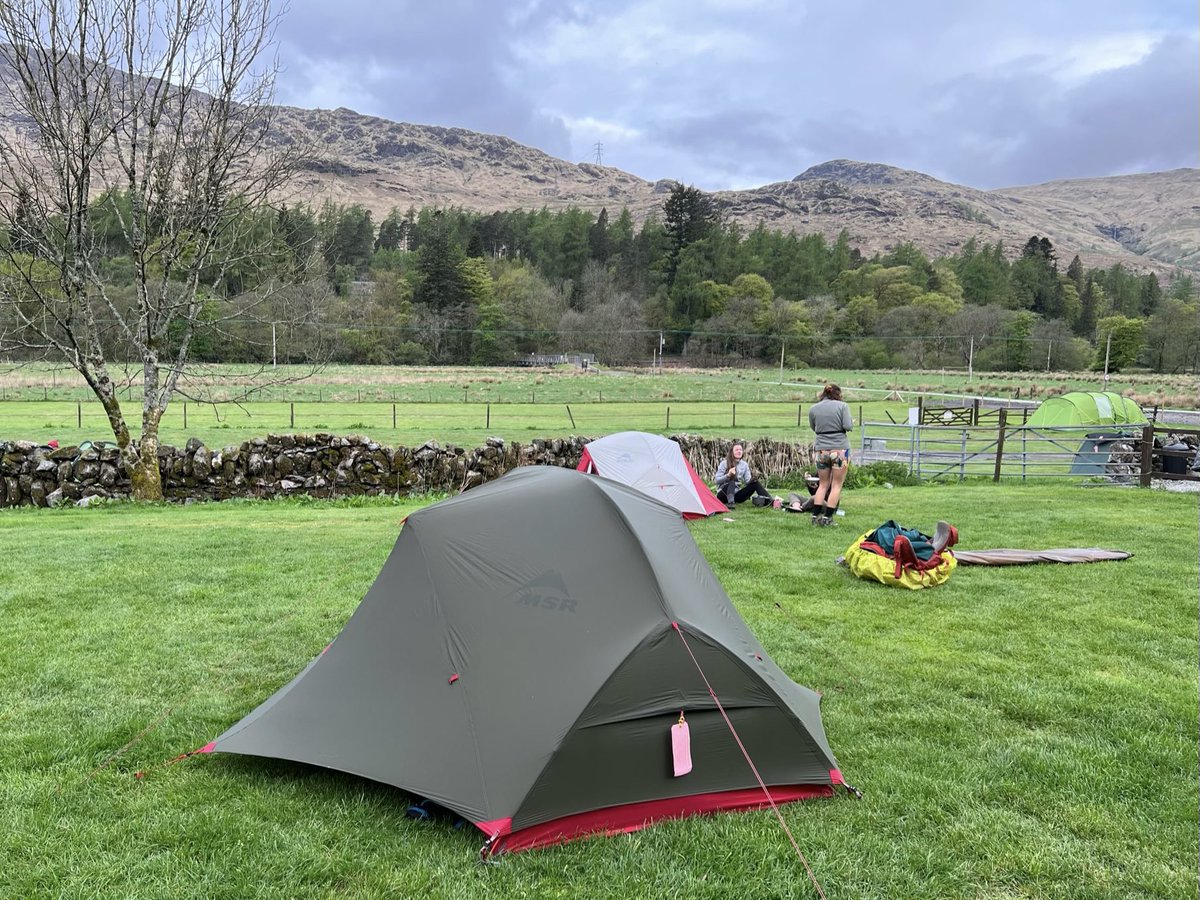
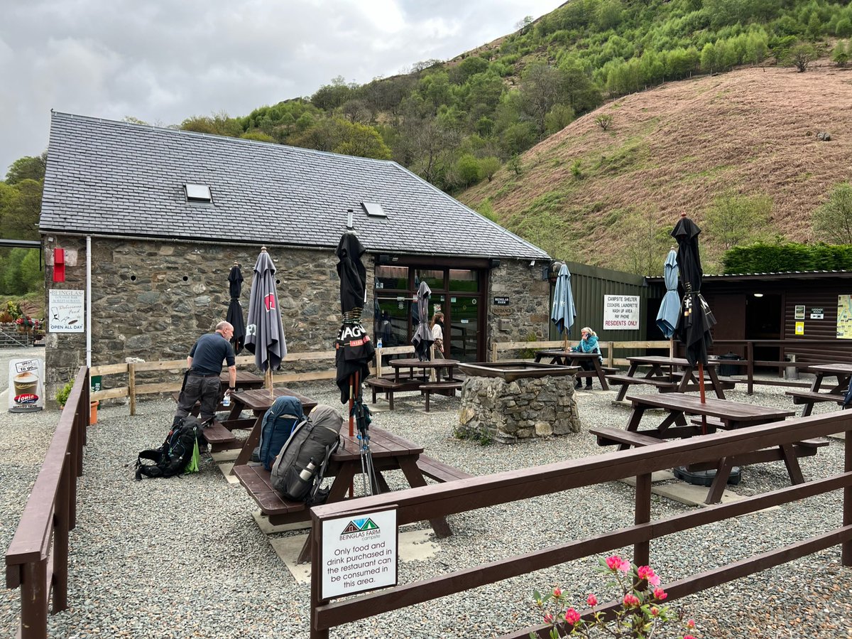
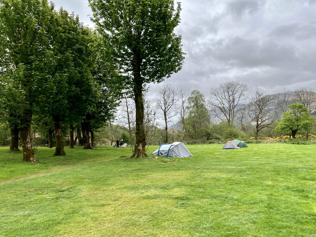
Woke up after a great night’s sleep at Beinglas Farm. We’ve stayed there a few times before, and it’s a lovely campsite with brilliant facilities. They have a big covered campers’ kitchen, laundry, hot showers, a well-stocked shop,
Inverarnan to Tyndrum 19.2km
Woke up after a great night’s sleep at Beinglas Farm. We’ve stayed there a few times before, and it’s a lovely campsite with brilliant facilities. They have a big covered campers’ kitchen, laundry, hot showers, a well-stocked shop,
and a pub/restaurant that does breakfast, evening meals and packed lunches.
When we were packing down we saw the man from Doune Bothy walk in hoping for cooked breakfast but he’d just missed it, so he got a tuna sandwich from the shop and washed it down with a half pint o’milk.
When we were packing down we saw the man from Doune Bothy walk in hoping for cooked breakfast but he’d just missed it, so he got a tuna sandwich from the shop and washed it down with a half pint o’milk.
A few yrs ago Ian and I were camping there and coming down from Beinn Chabhair we realised we wouldn’t make it back in time for dinner so we rang them and they saved us some! You’ll not go hungry at Beinglas. Anyhow I digress… We set off on the WHW which runs through the farm. 


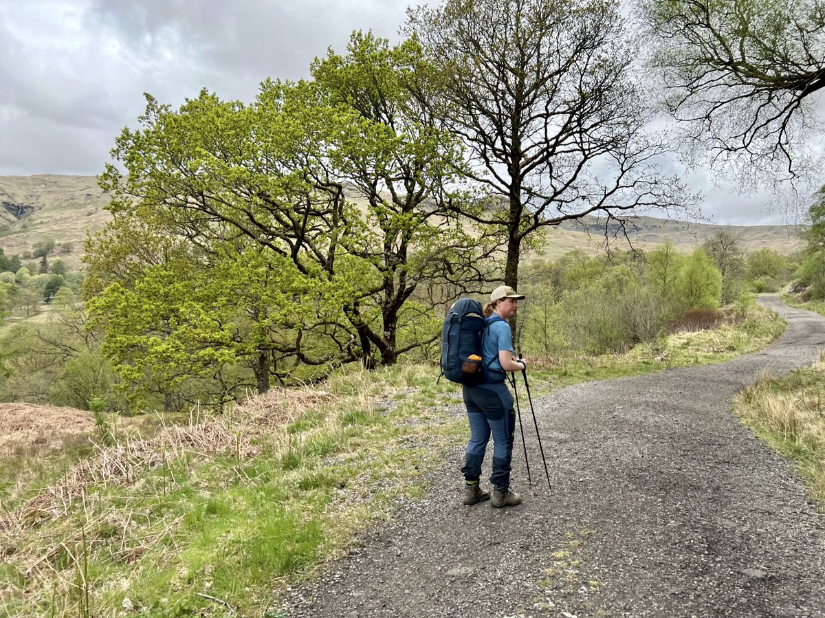
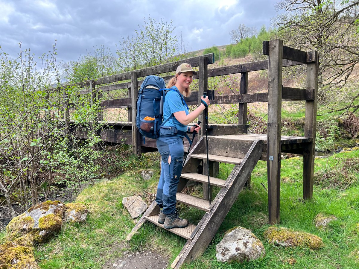
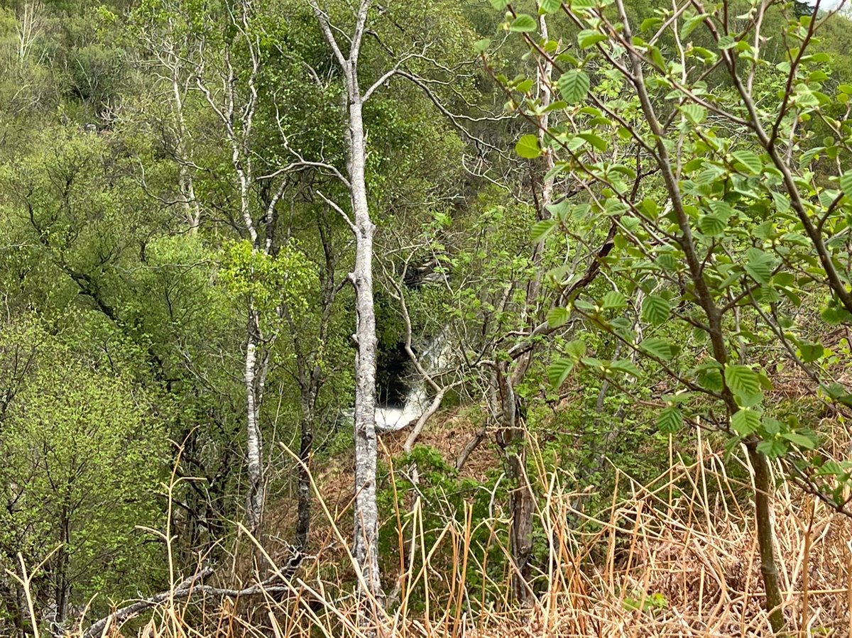
We were excited to catch a glimpse of the famous Falls of Falloch through the trees from the WHW path. 

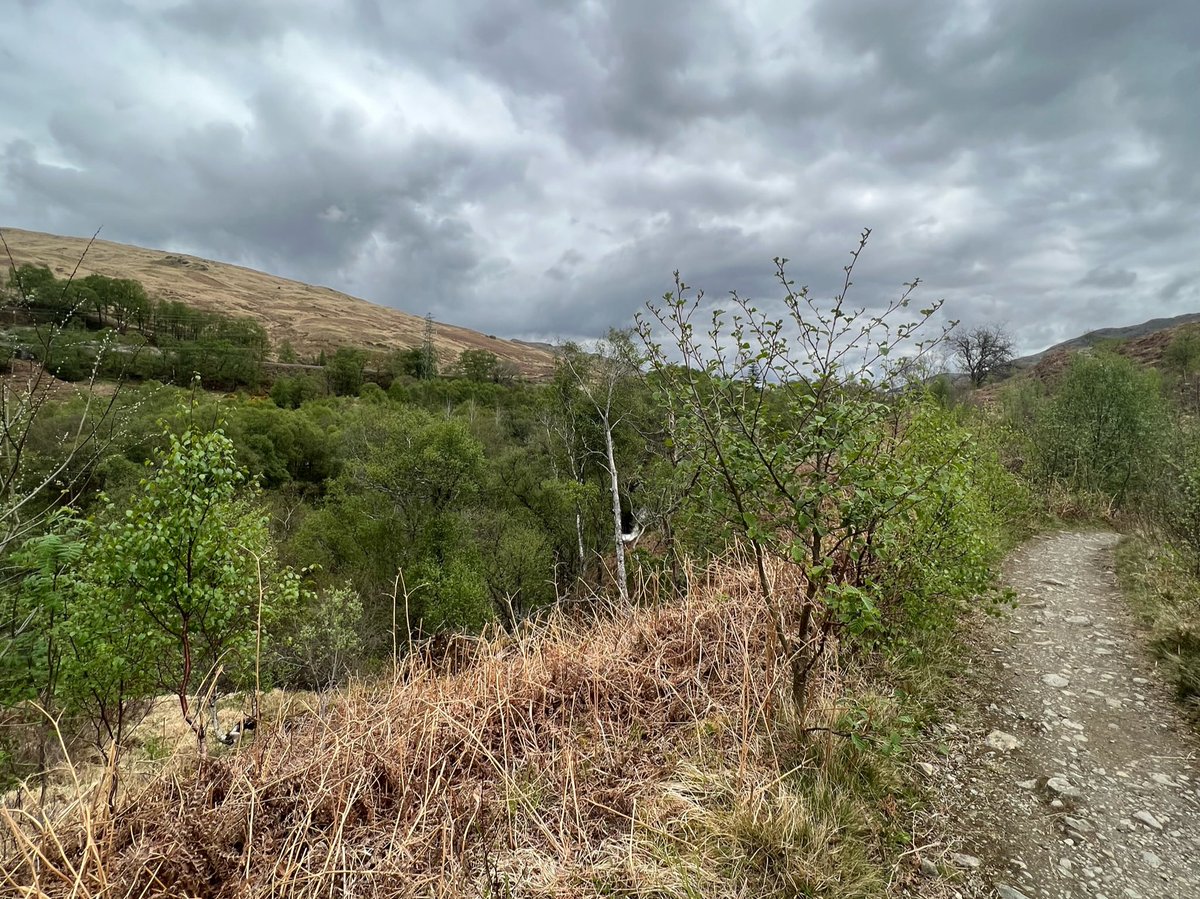
Upstream of the Falls of Falloch there
are smaller waterfalls and interesting circular rock formations.


are smaller waterfalls and interesting circular rock formations.
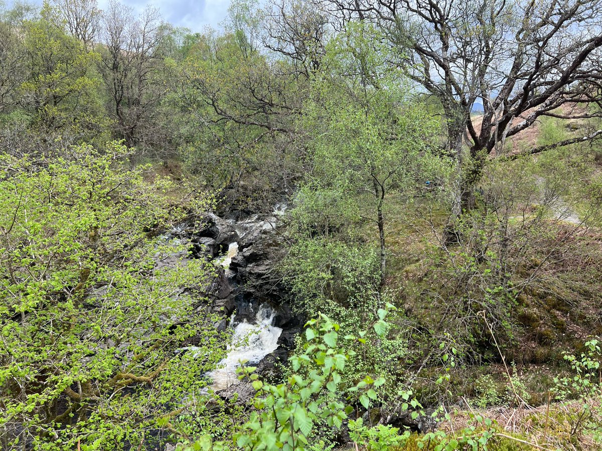
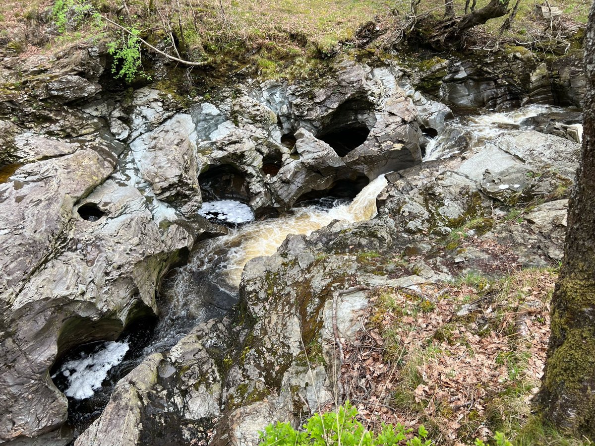
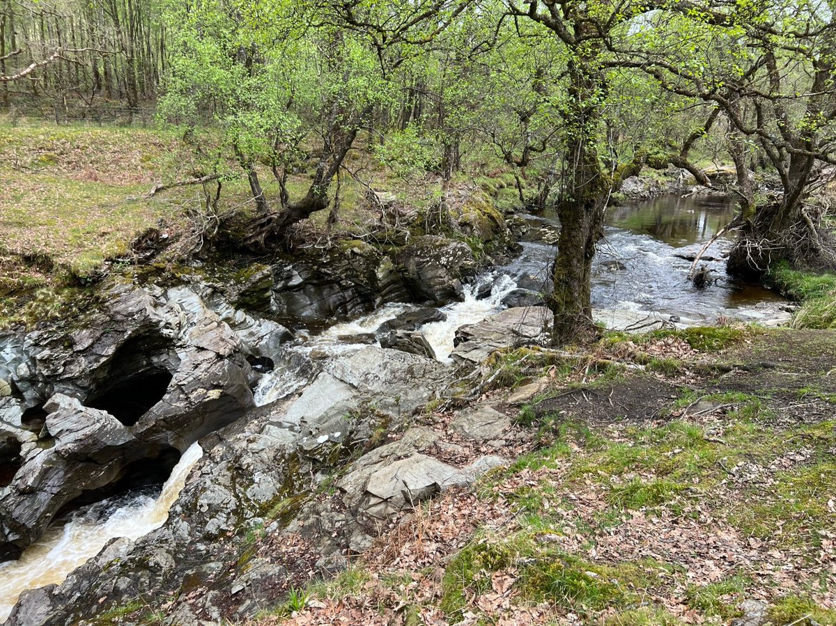
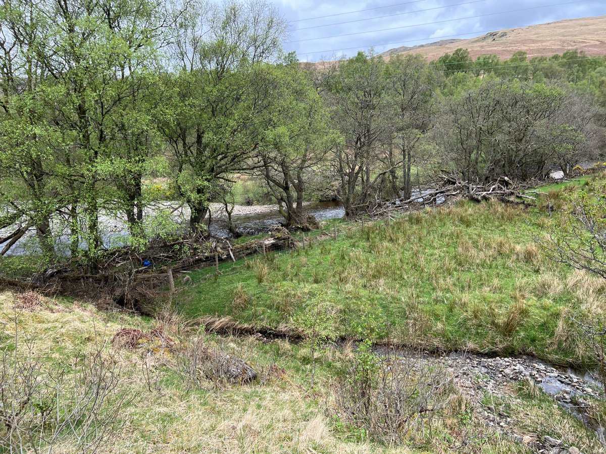
We crossed several burns running off the mountainside into the River Falloch along this part of the path. 


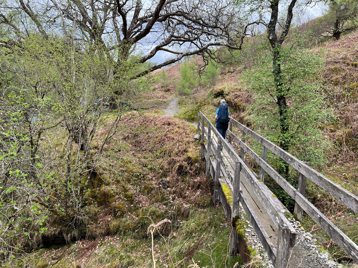
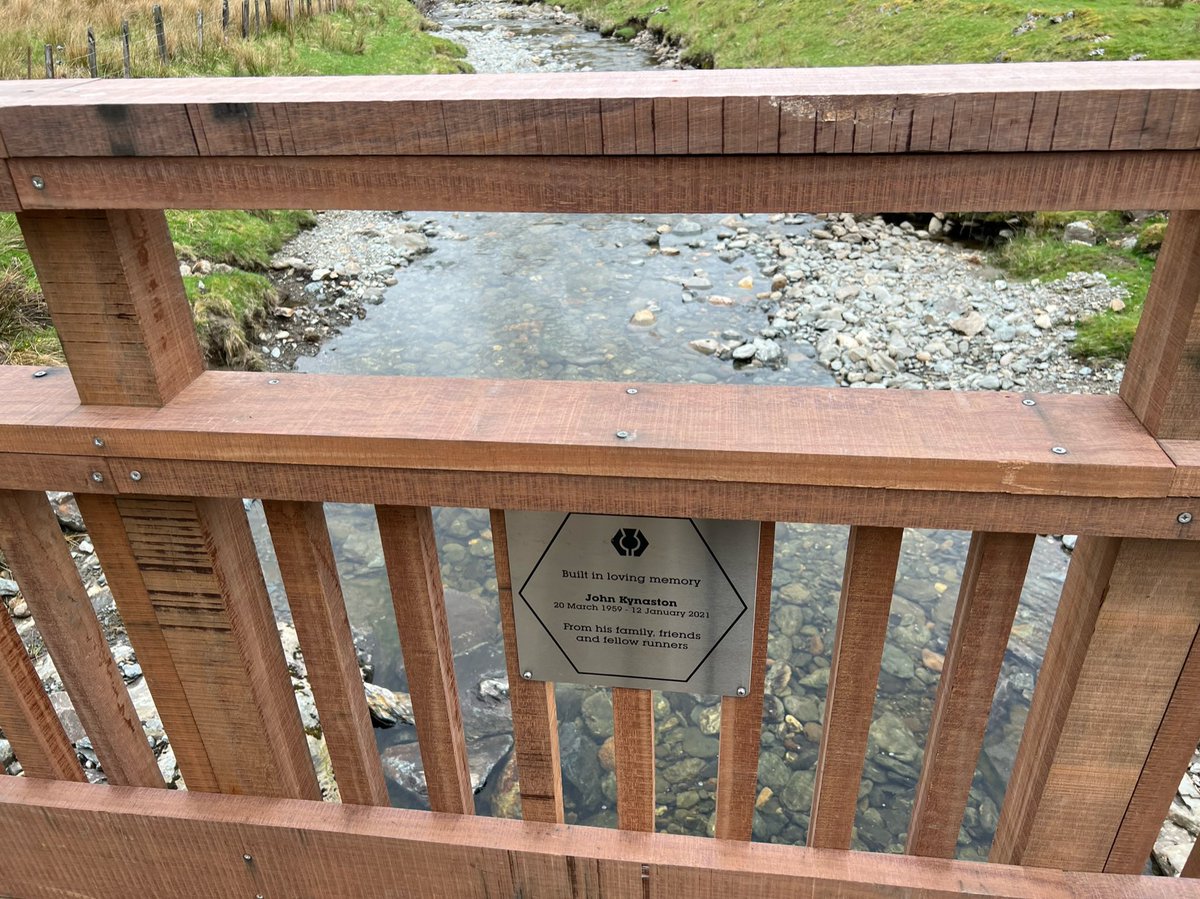
We saw this sign on one of the footbridges. I looked it up and found it’s the John Kynaston Memorial Bridge, paid for through a Crowdfunder set up in his memory to replace a bridge which was washed away in a storm in 2020. John was a West Highland Way Race committee member. 


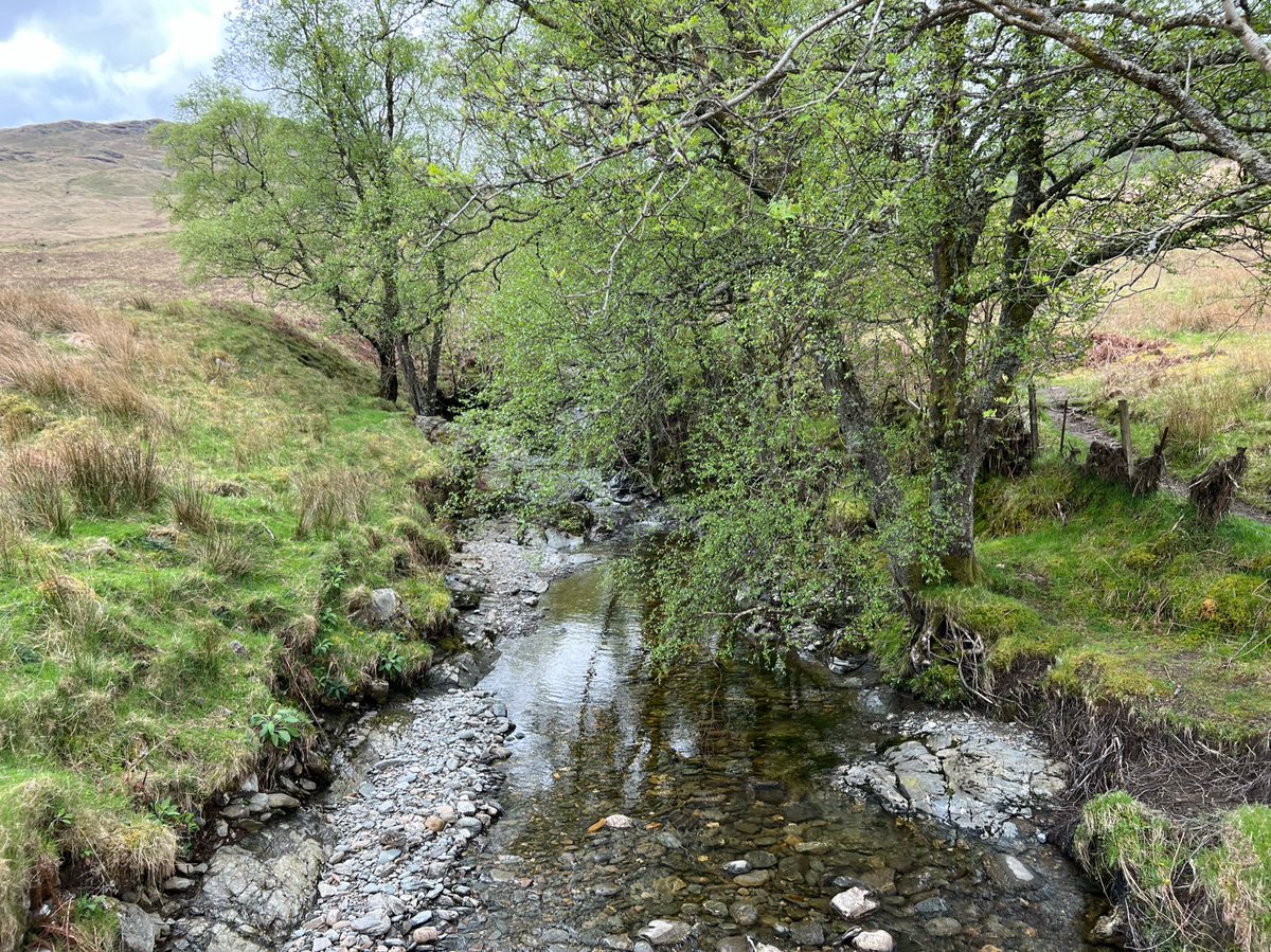
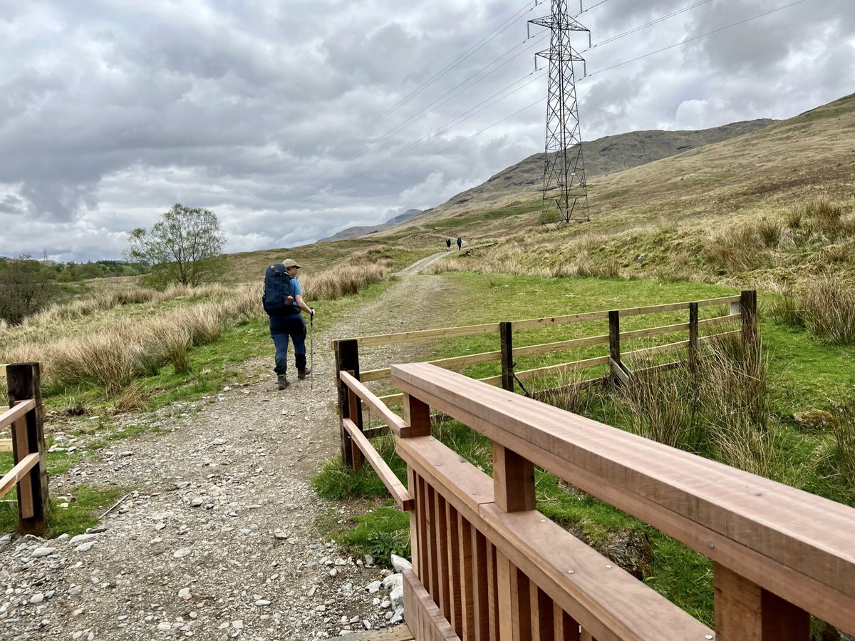
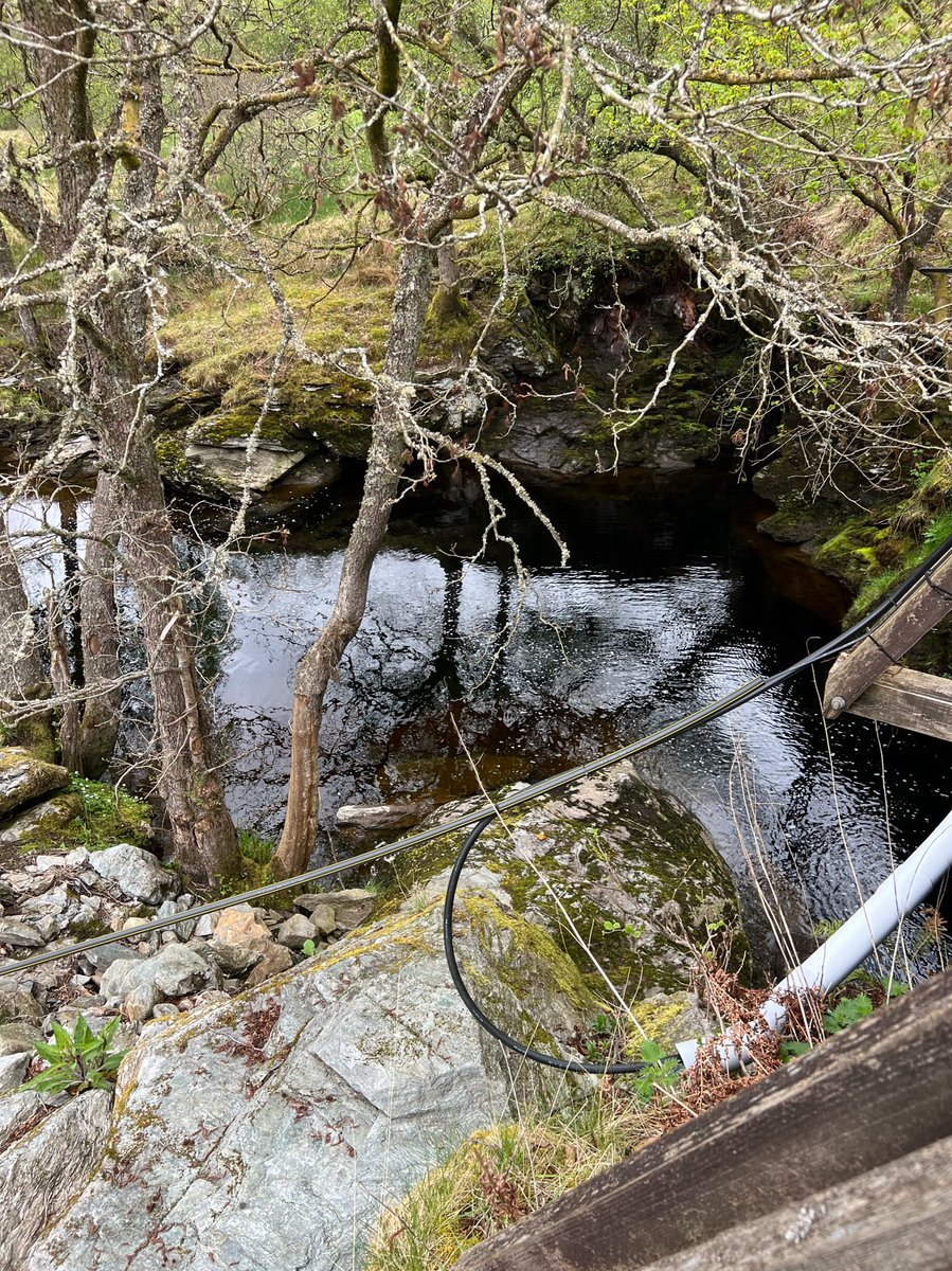
After that we crossed the River Falloch itself at Derrydaroch. There are lots of cables by the bridge there, which I assume are part of the controversial Glenfallloch hydro scheme. 


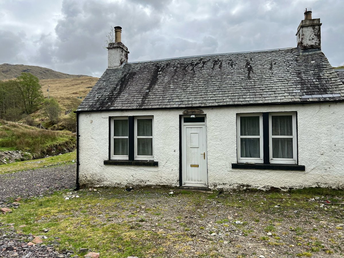
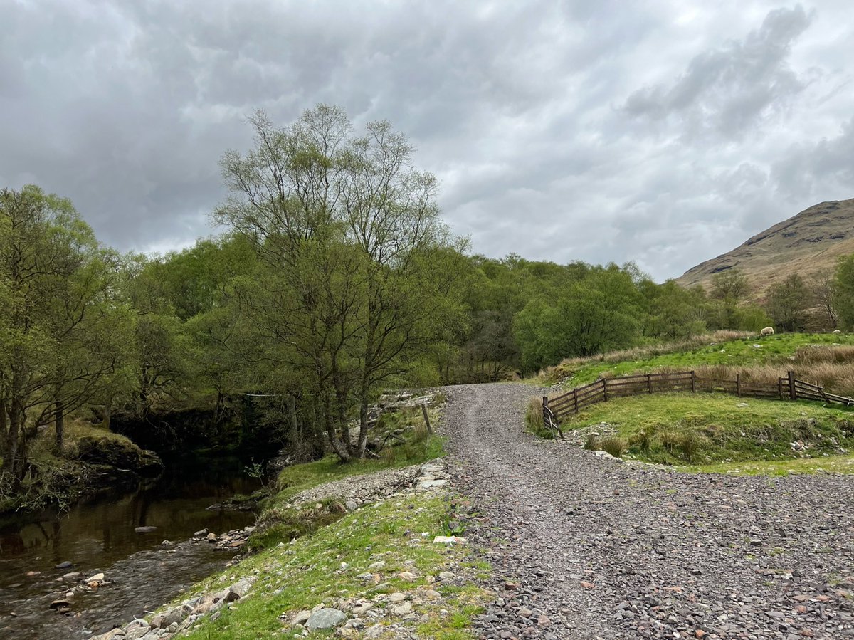
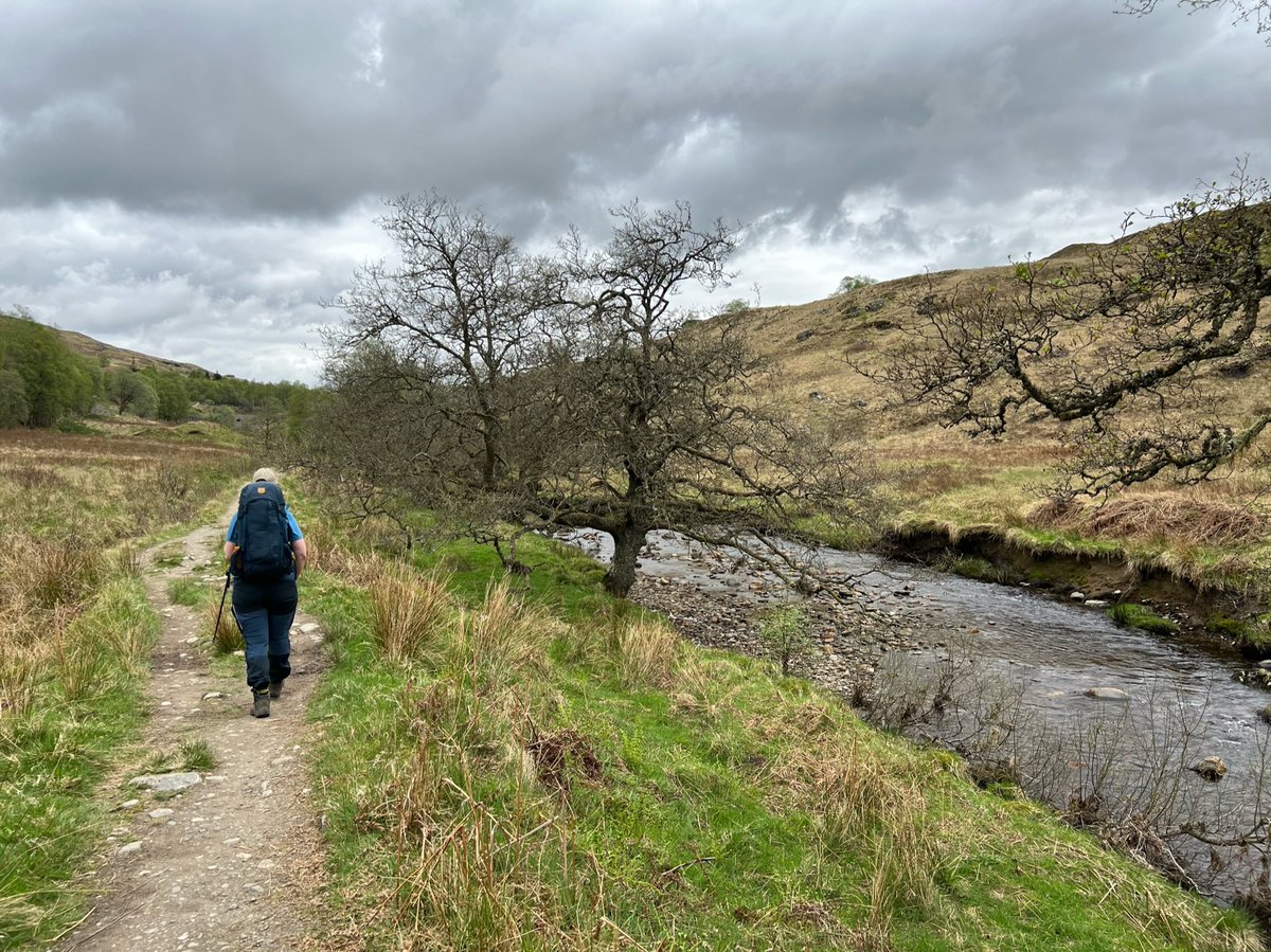
We followed the path between the river and the railway tracks for a short time. Lichen-covered alder trees line the river bank here. Alder is a water loving swamp-dweller. Its wood doesn’t rot when waterlogged, but becomes stronger and harder instead. 



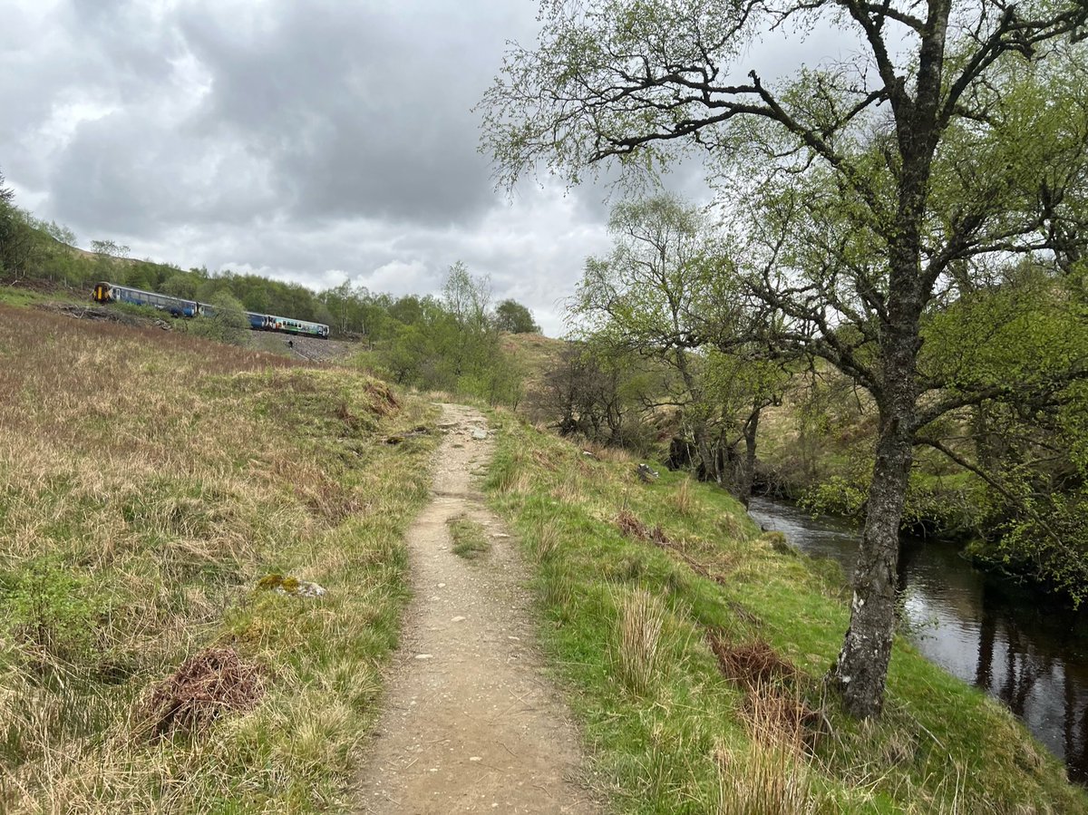
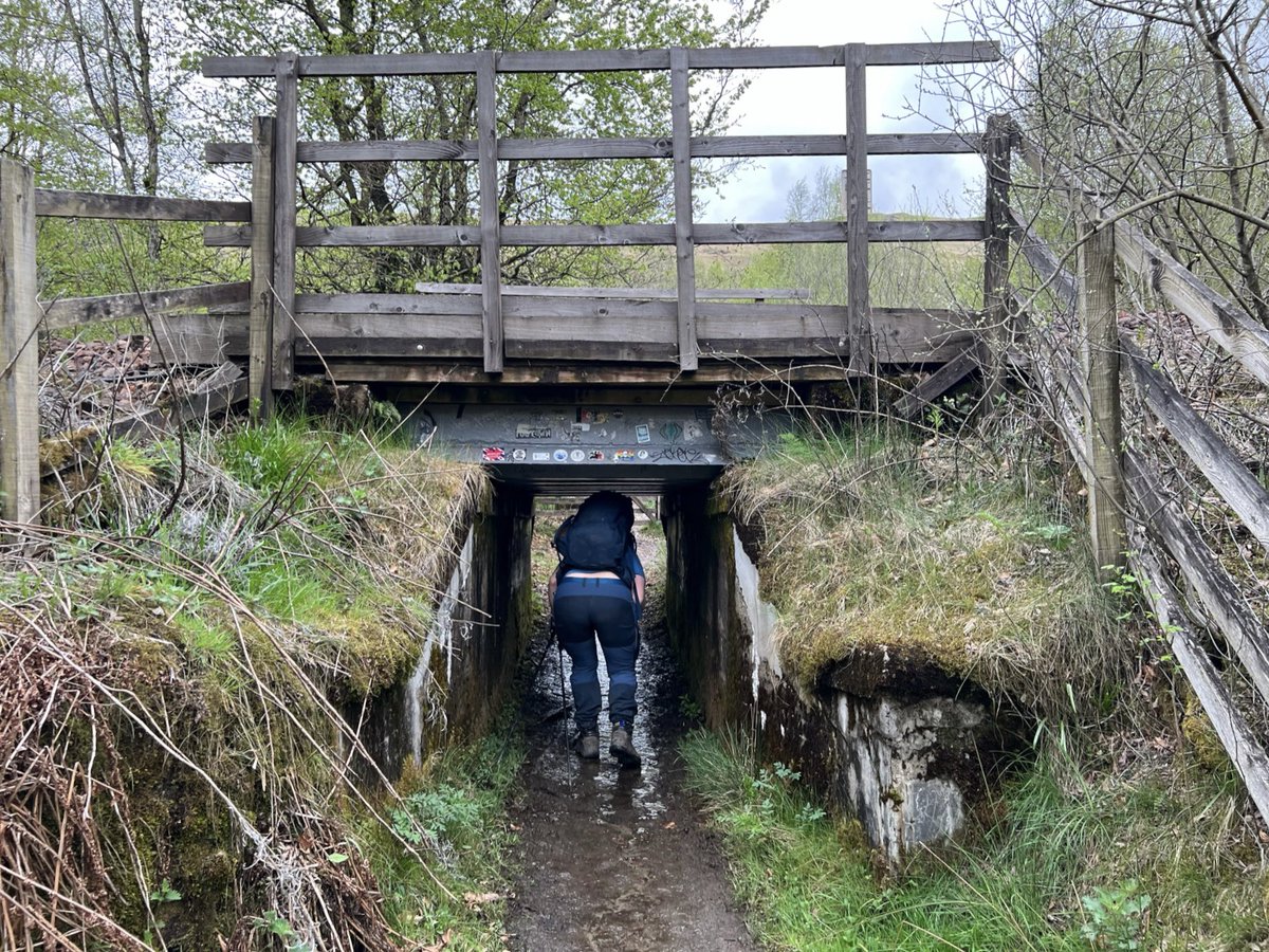
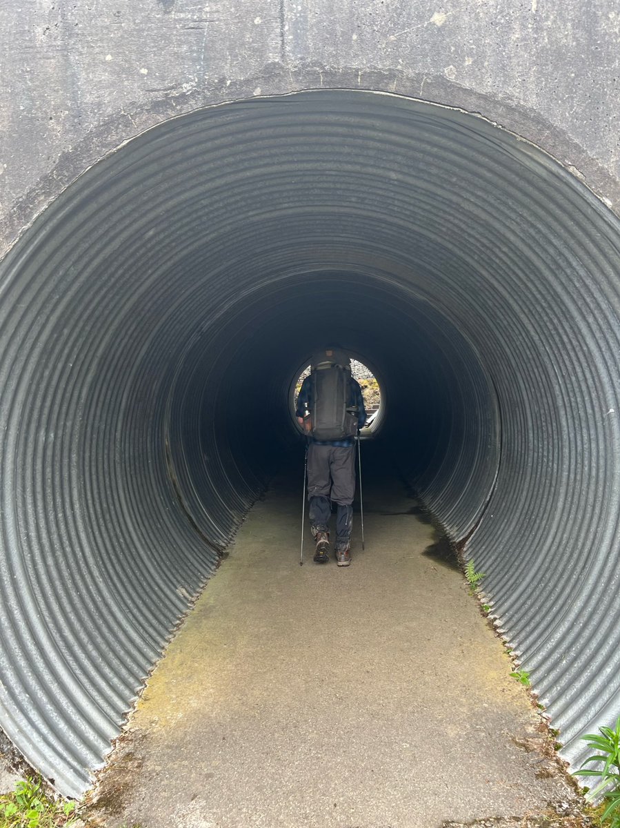
We passed under the railway line through a “sheep creep” - I love that name! It’s an underpass created for farm animals so it has a very low head height. If you’re tall you may want to take off your backpack! 

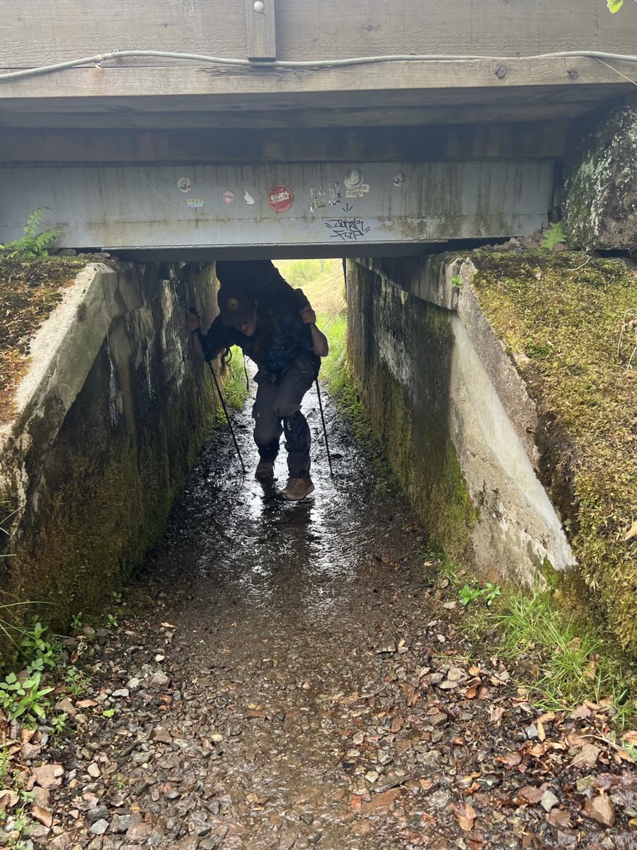
A short walk along a section of the old main road led us to another underpass - this time human-sized, under the modern A82. 

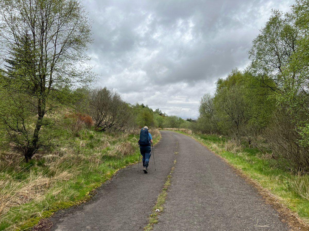
The WHW follows a very clear track here on the Old Military Road through farmland.
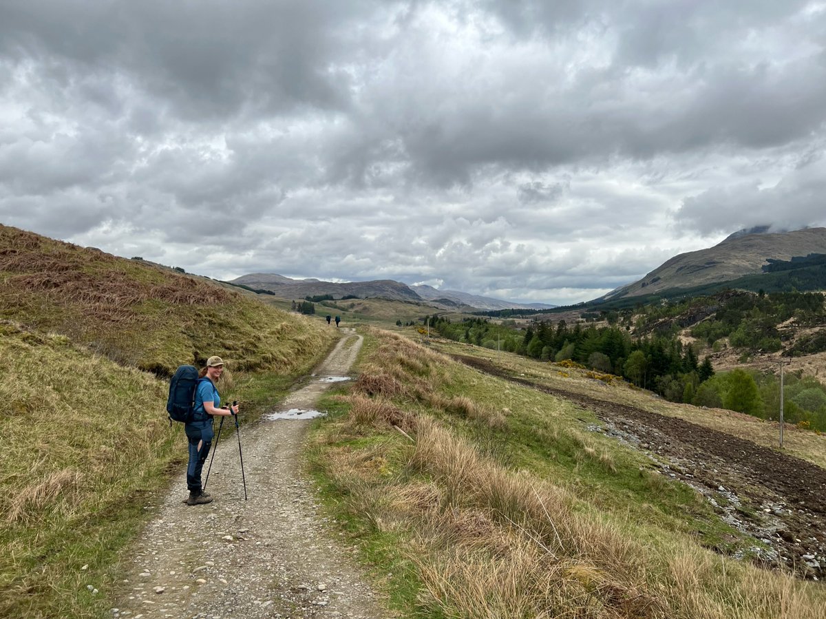
As you can tell by my grin, I was very excited to be here! We’d glimpsed this section from the road and railway many times over the years and talked about walking along it and now we were!
As you can tell by my grin, I was very excited to be here! We’d glimpsed this section from the road and railway many times over the years and talked about walking along it and now we were!
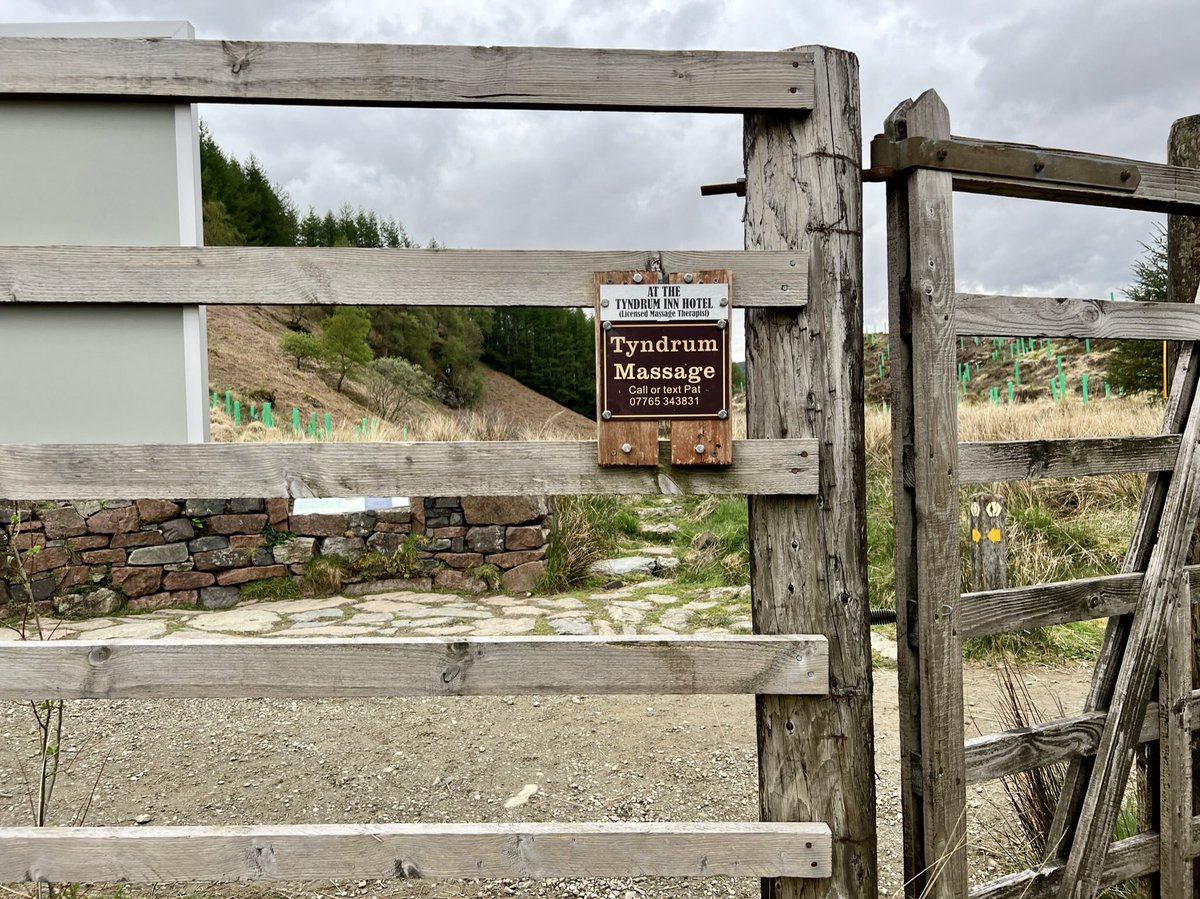
At the gate to the forestry just outside Crianlarich we saw the first of many signs by the entrepreneurial Pat, offering massage to weary WHW walkers. 

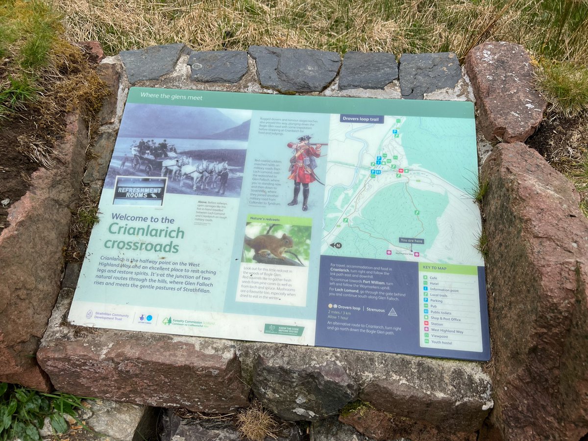
We were now at the Crianlarich Crossroads - a natural meeting of ancient routes and the halfway point of West Highland Way. It’s a 15min detour to Crianlarich which has plenty of amenities if you need to rest or resupply. But after a sandwich stop we continued on towards Tyndrum. 

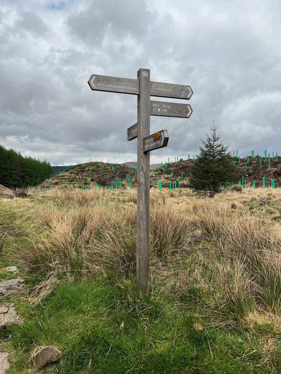
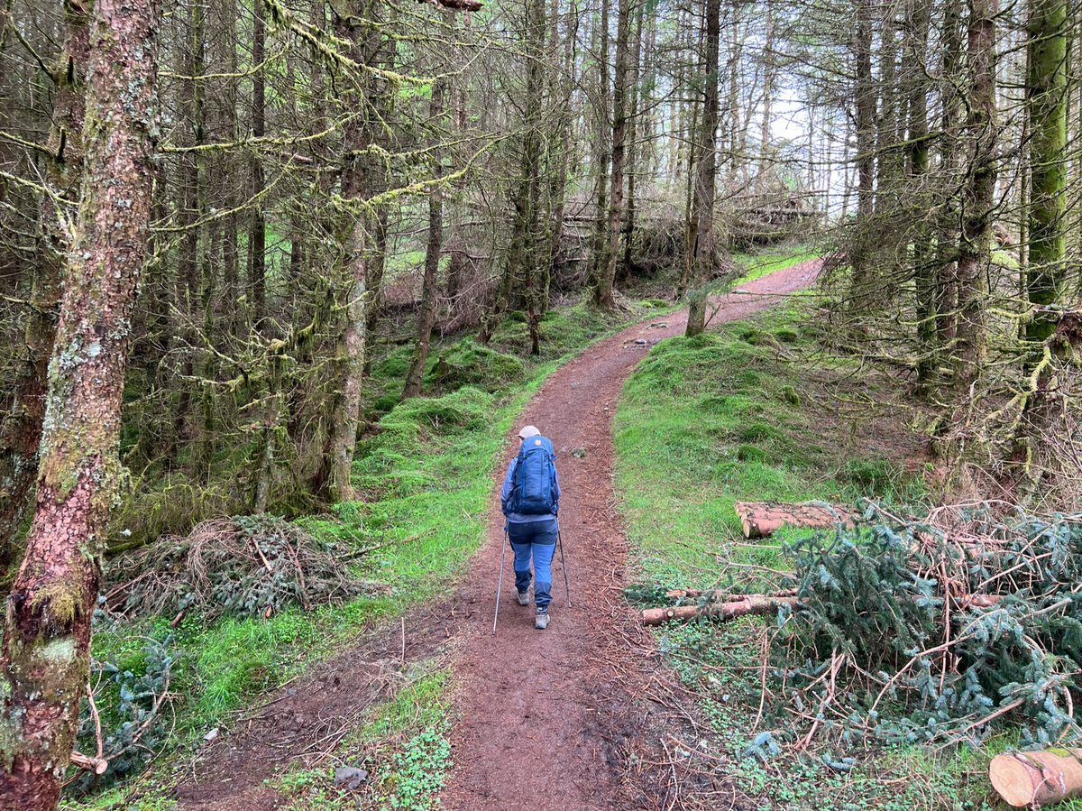
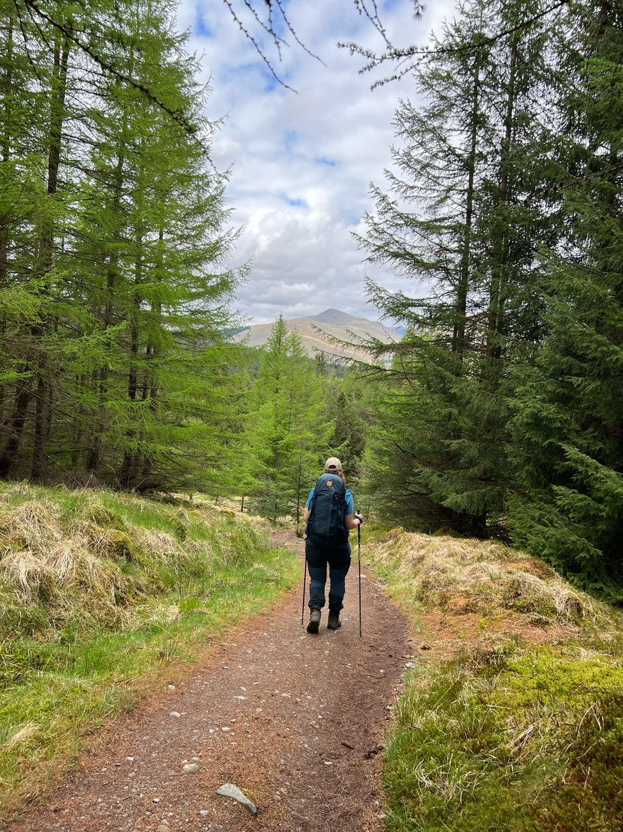
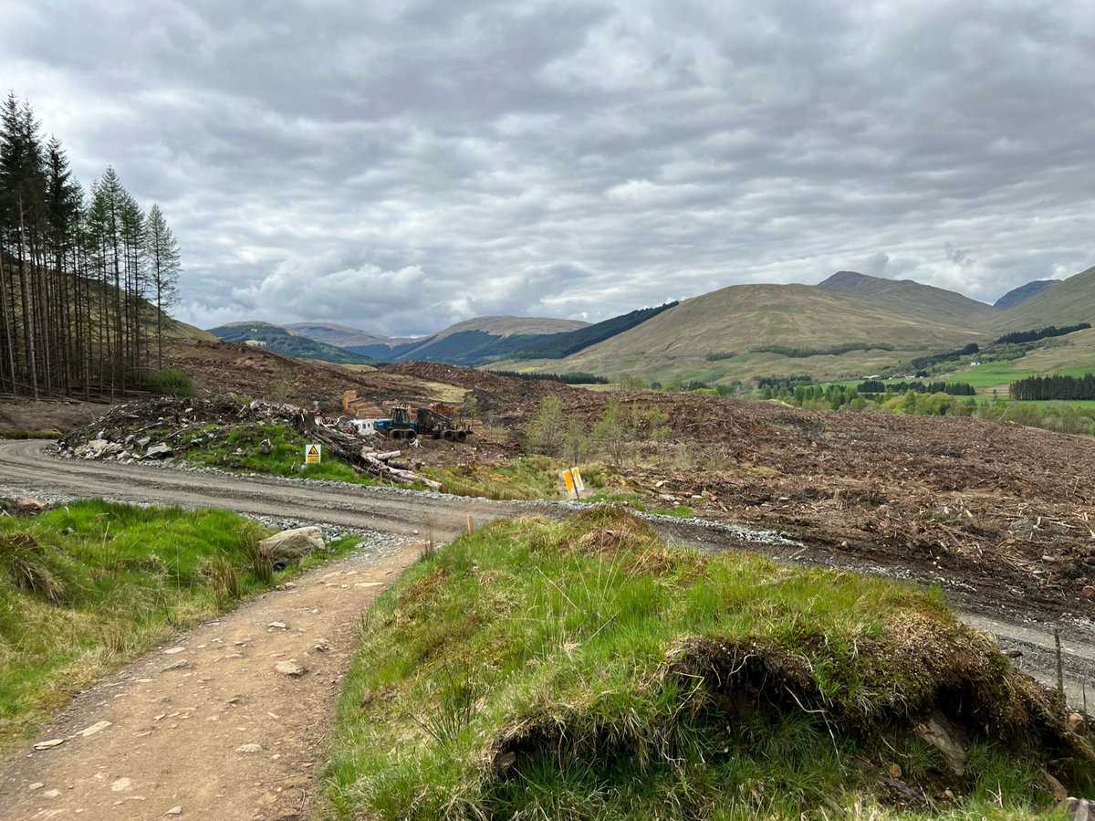
We walked through the forestry plantation down to Strath Fillan. It does make me feel quite sad so I was glad to come to the end of it. 


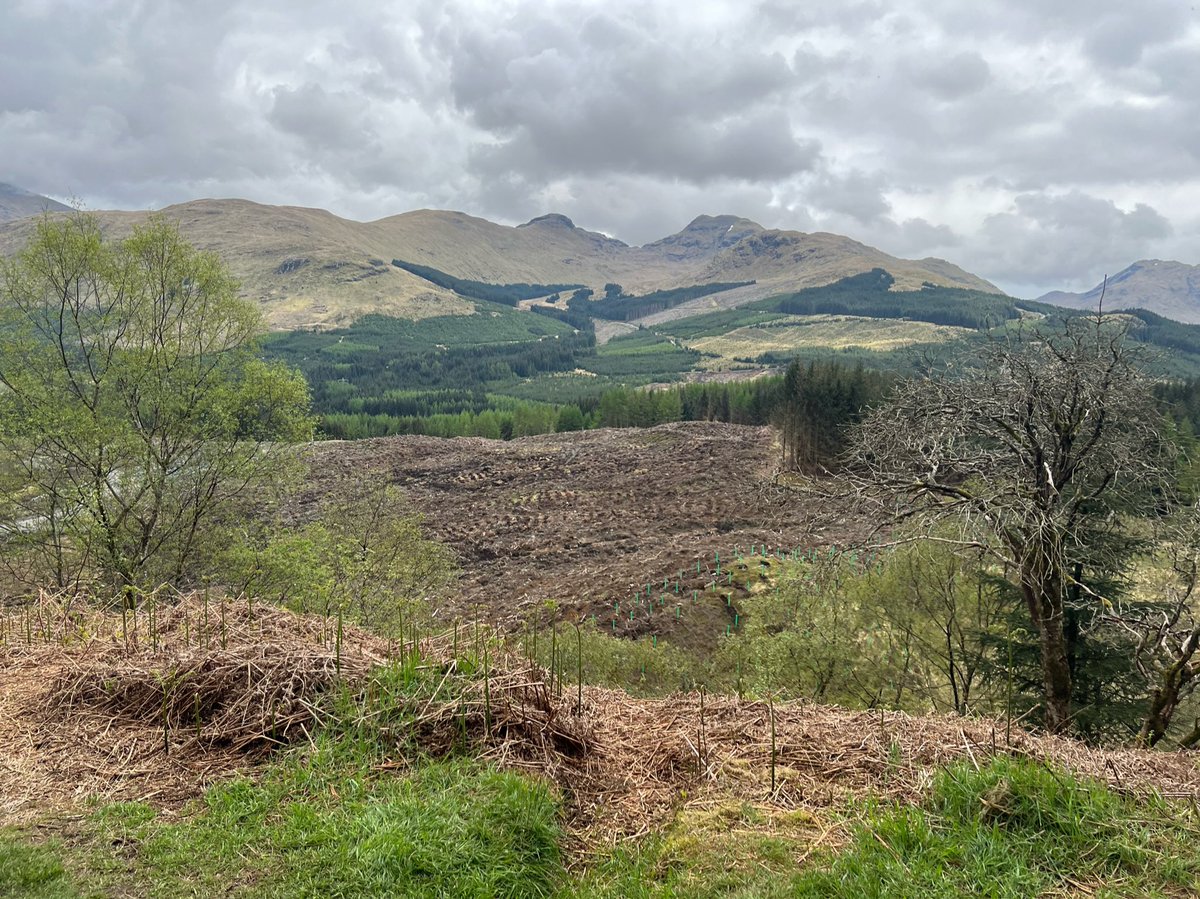
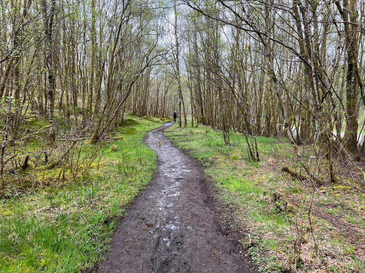
After a short walk through a birch woodland we were back at the A82. Unfortunately there’s no underpass here so it’s quite a hairy crossing! 


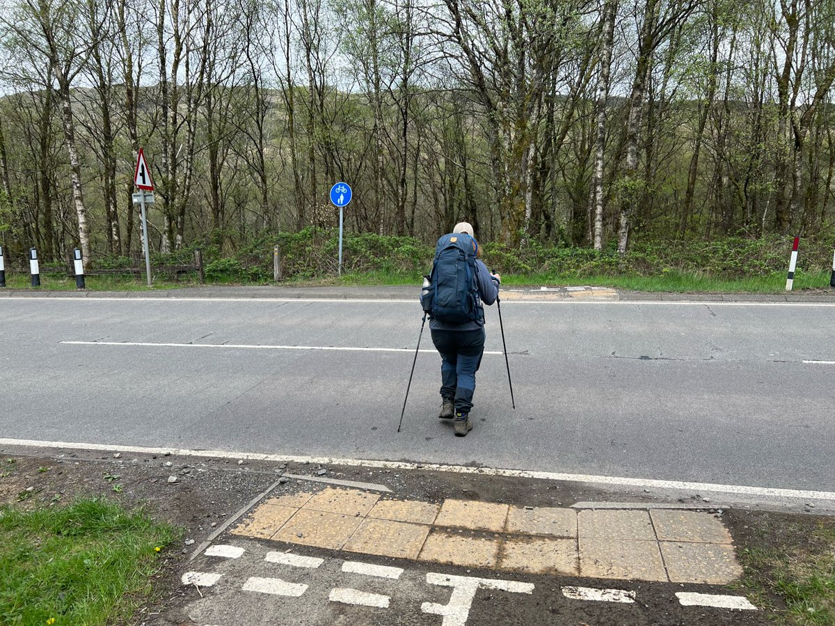
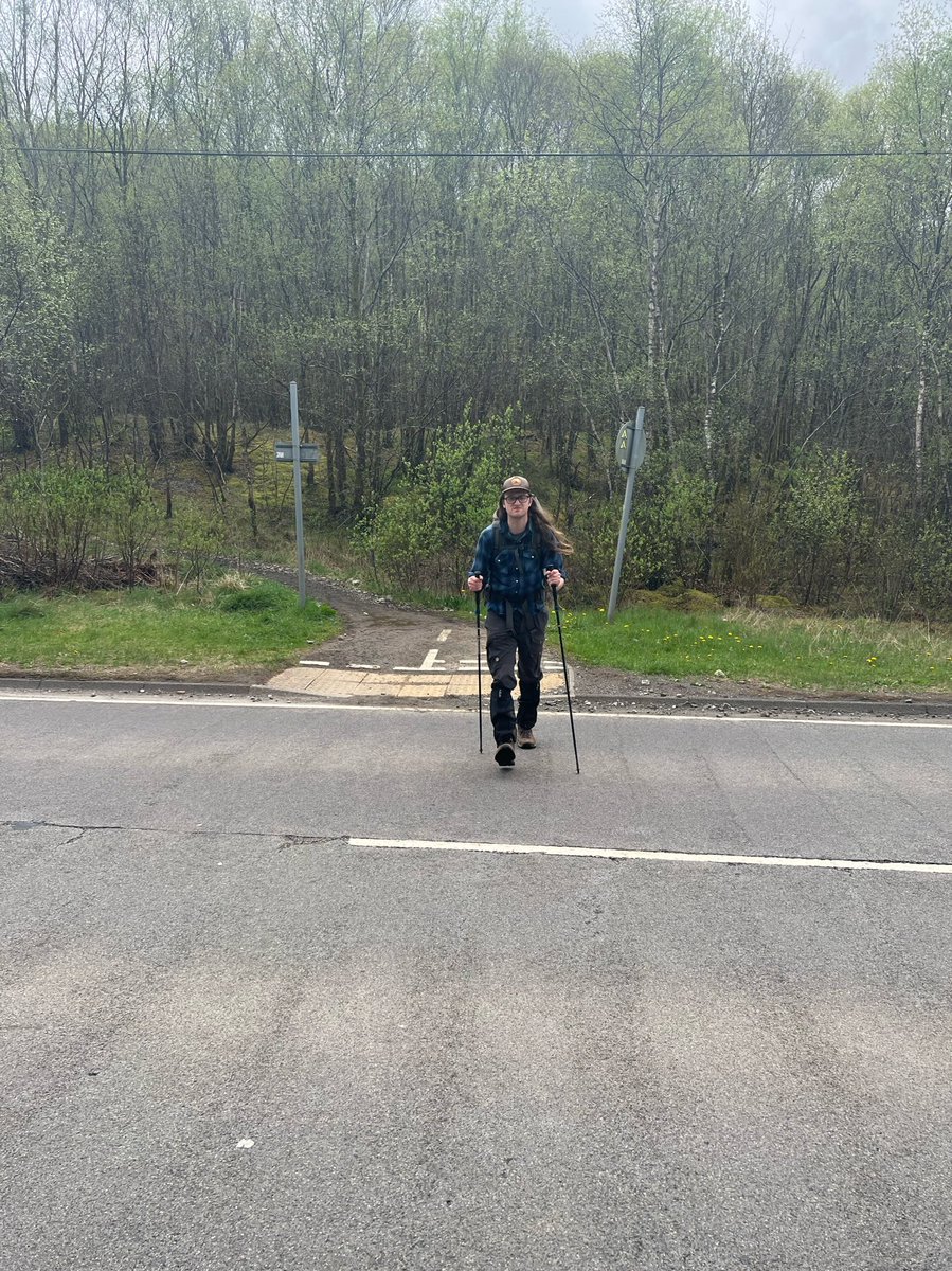
We crossed over the River Fillan - one of the names for the River Tay in its upper catchment.
Upstream it’s called the River Connonish, then the River Fillan, then after Loch Dochart it becomes the River Dochart, until it flows into Loch Tay and emerges as the River Tay.


Upstream it’s called the River Connonish, then the River Fillan, then after Loch Dochart it becomes the River Dochart, until it flows into Loch Tay and emerges as the River Tay.
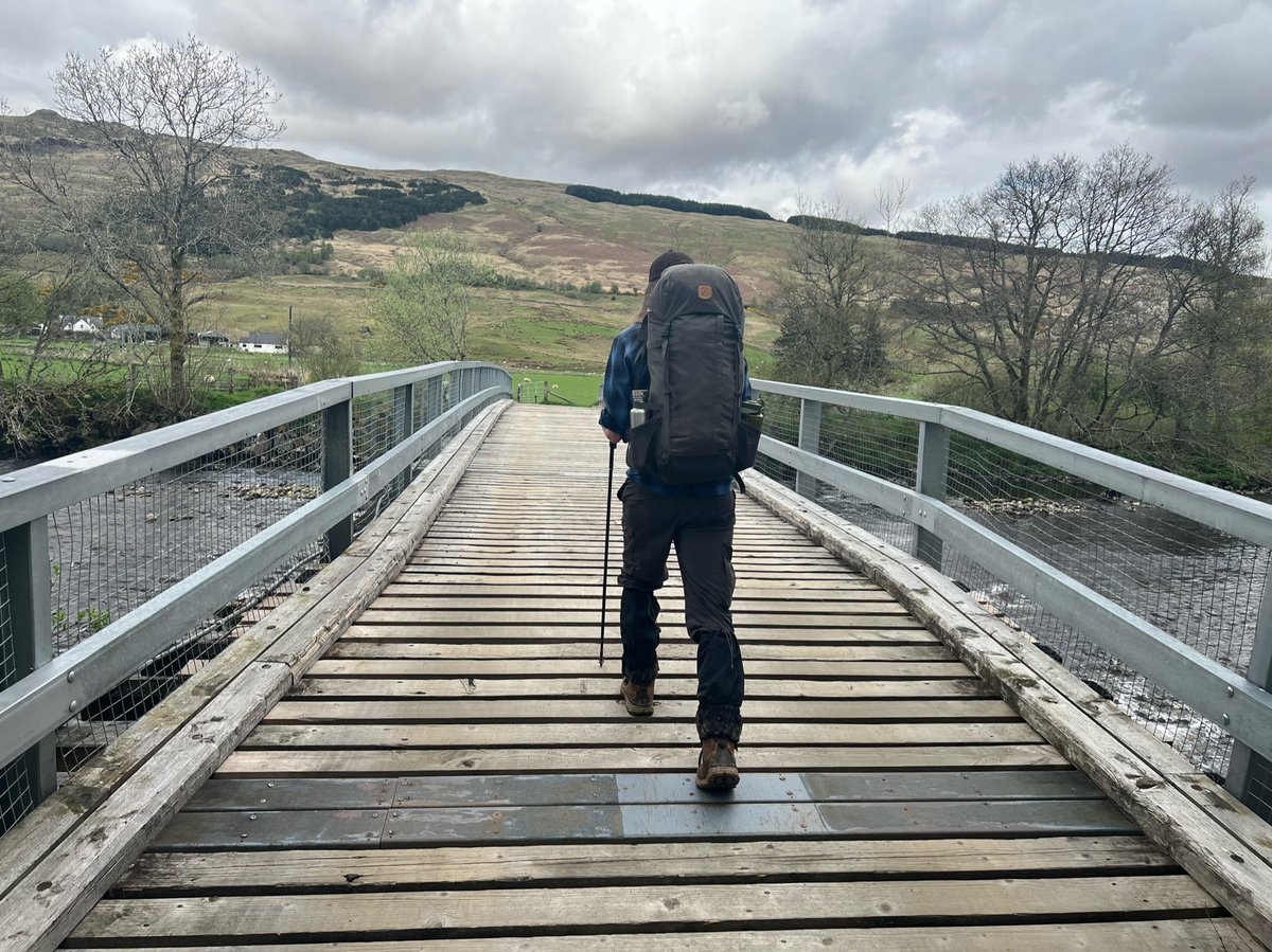
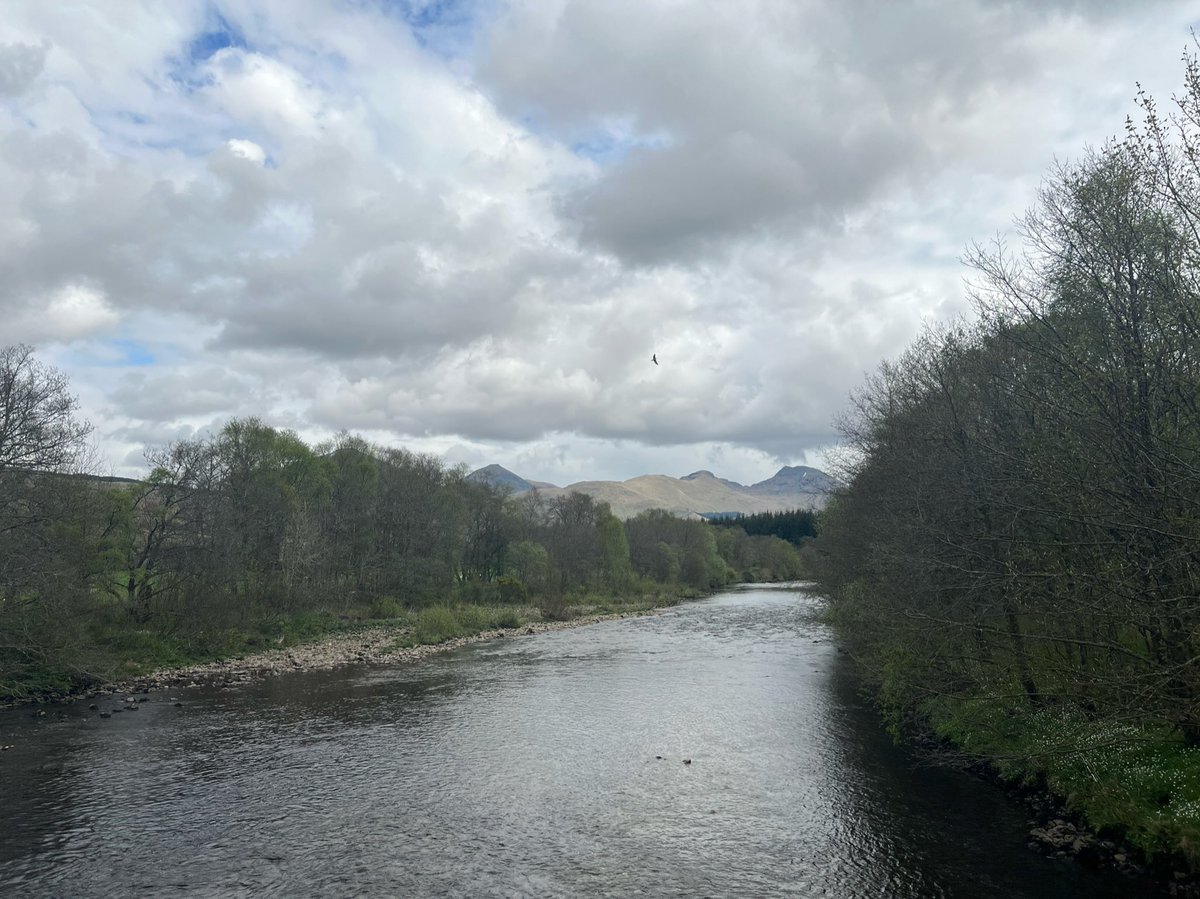
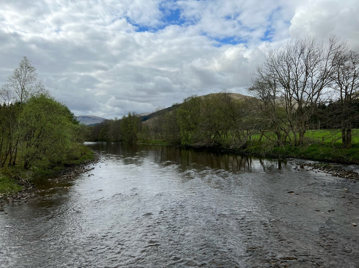
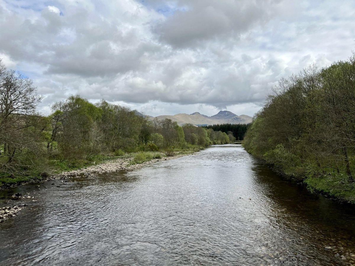
The River Tay is 188km long - making it the longest river in Scotland. It’s the largest river in the UK by measured discharge - (the measurement of how much water passes a single point at one time). The exact source was identified in 2011 - a lochan on the slopes of Ben Lui. 
Across the river in Kirkton Farm we saw this info board showing the summits of the Crianlarich Hills, including Ben More - the highest peak in the Loch Lomond and The Trossachs National Park. Definitely need to go back on a Munro bagging trip! 

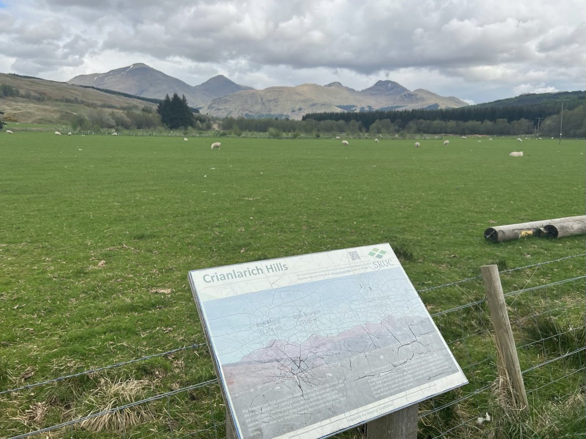

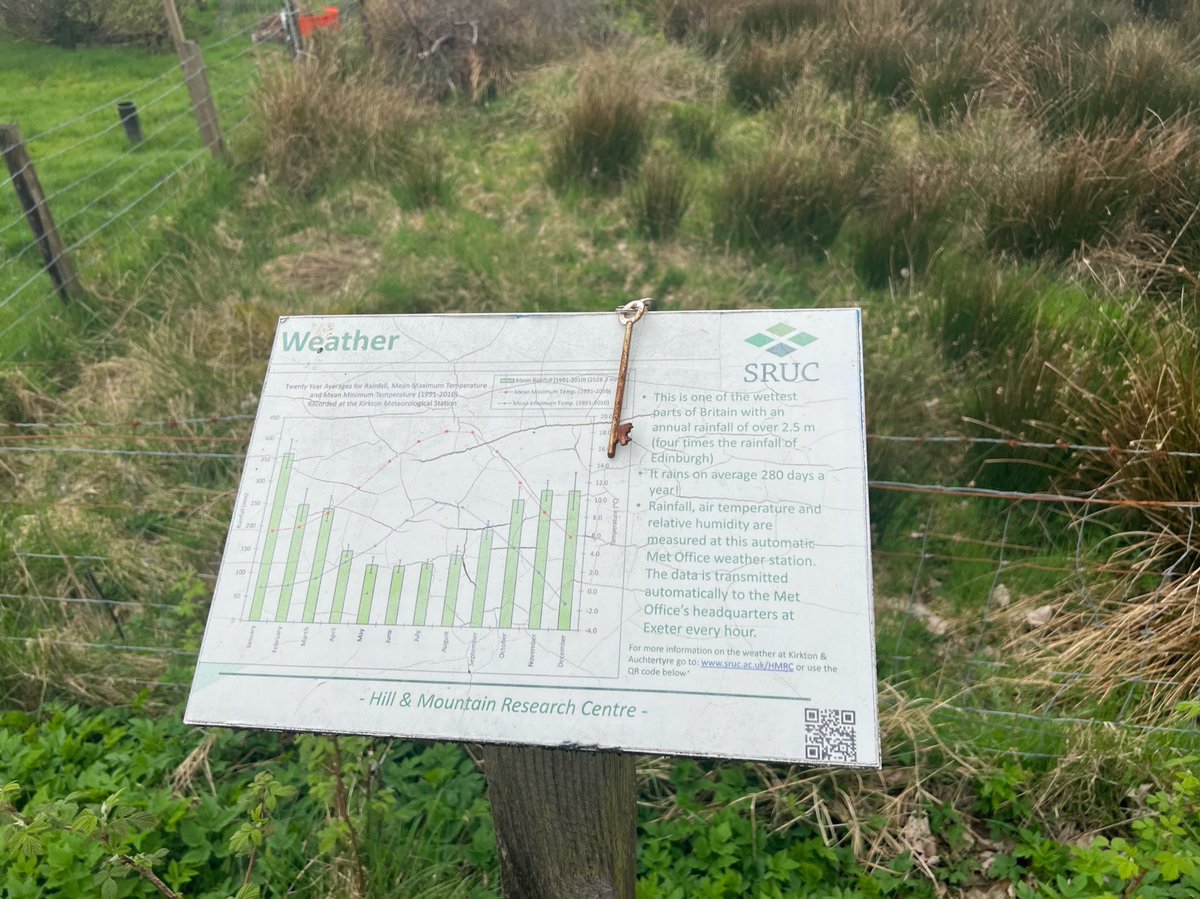
Kirkton Farm is part of SRUC (Scotland's Rural College) it’s one of their research farms in the West Highlands. It’s the base for scientists and staff from their Hill and Mountain Research Centre - aka HMRC(!) 


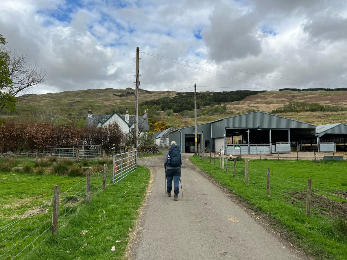
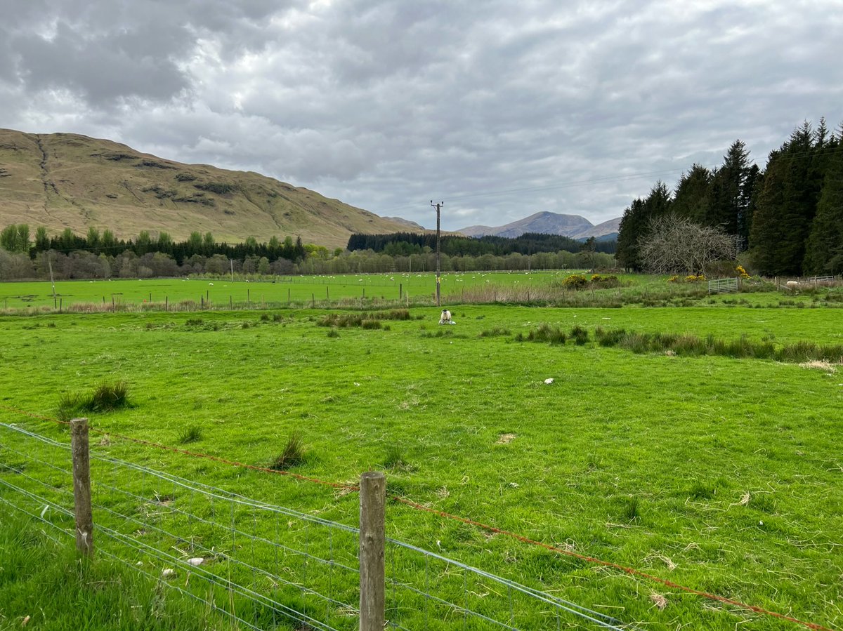
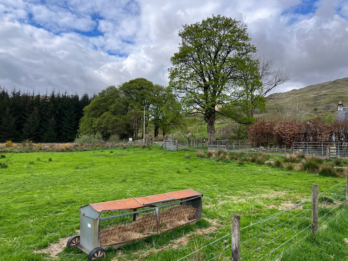
Just after the farmhouse, the way passes between two fascinating historical sites. On our left were the ruins of St Fillan’s priory, founded by Robert the Bruce in 1318 in honour of St Fillan - an 8th century Irish monk who traveled to Scotland and settled at Strath Fillan. 

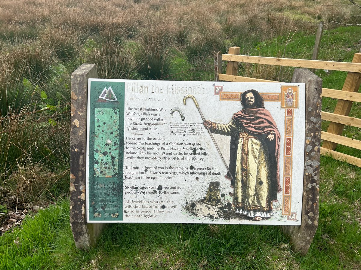

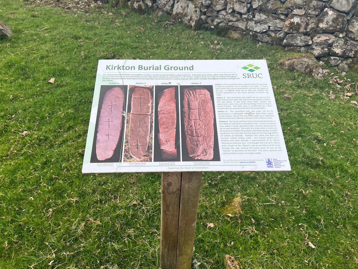
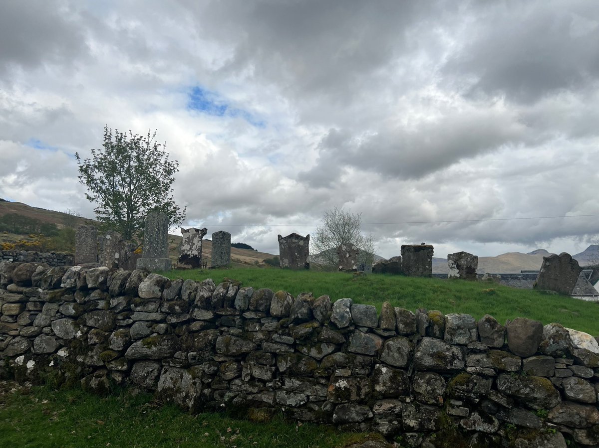
On our right was Kirkton Burial Ground which has four Early Medieval cross slabs which may date to around the 7th or 8th century. 

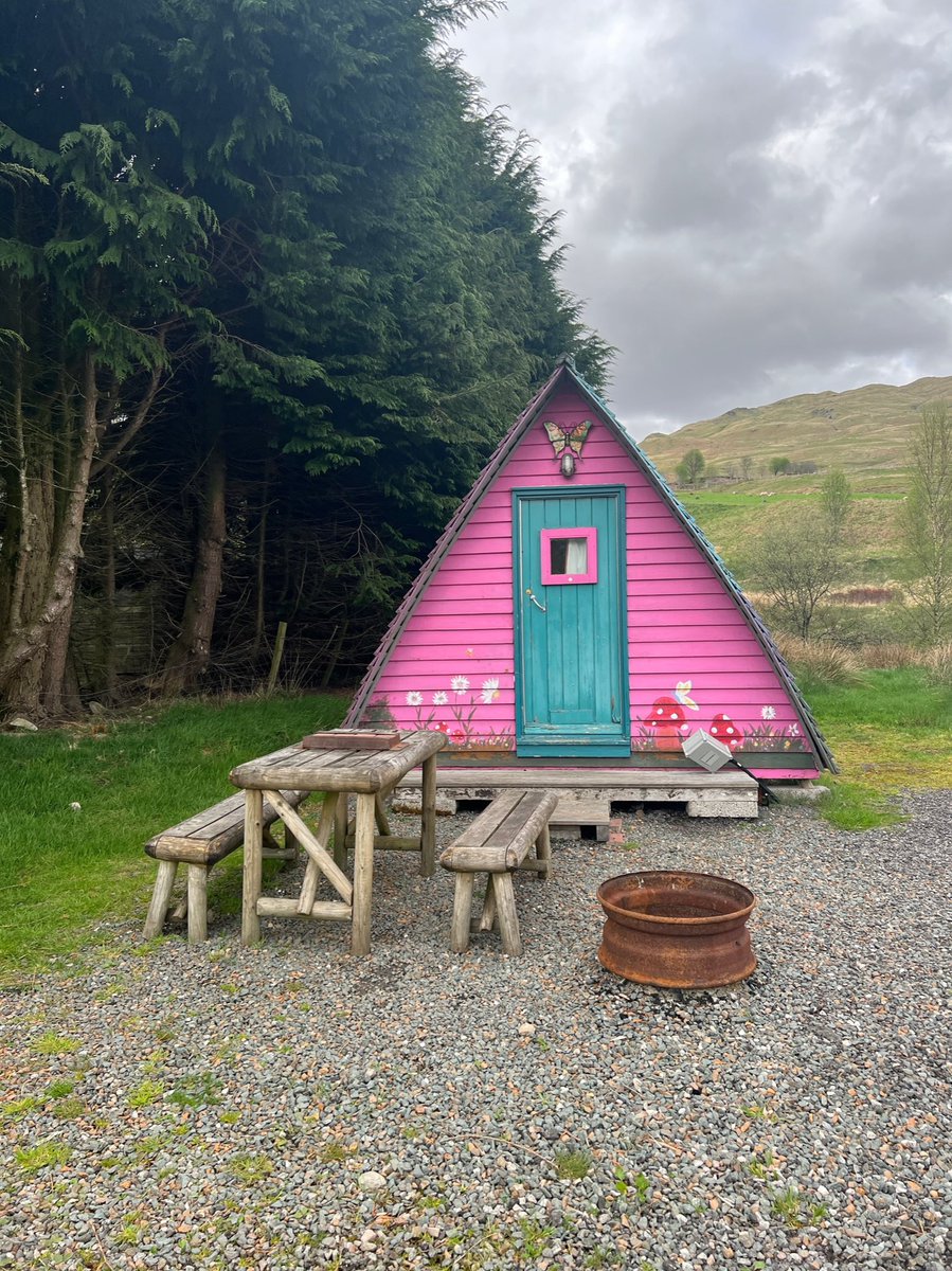
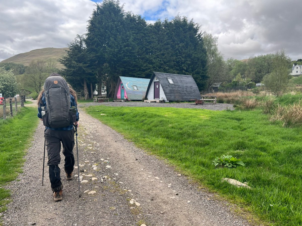
Next we walked through the campsite and holiday village on the farmland - set up an experimental model of farm business diversification by Scotland’s Rural College. The future of the site has been in question after it suffered heavy losses during the pandemic. 


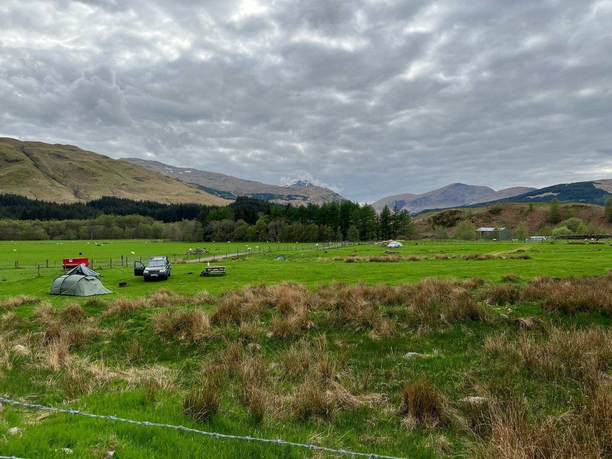
We saw a man gold panning in the Allt Auchtertyre on the farm (you can just about see him in this photo if you zoom in). Gold is in the hills and rivers around Crianlarich and it’s a popular activity here. There’s a controversial new gold mine in operation near Ben Lui. 
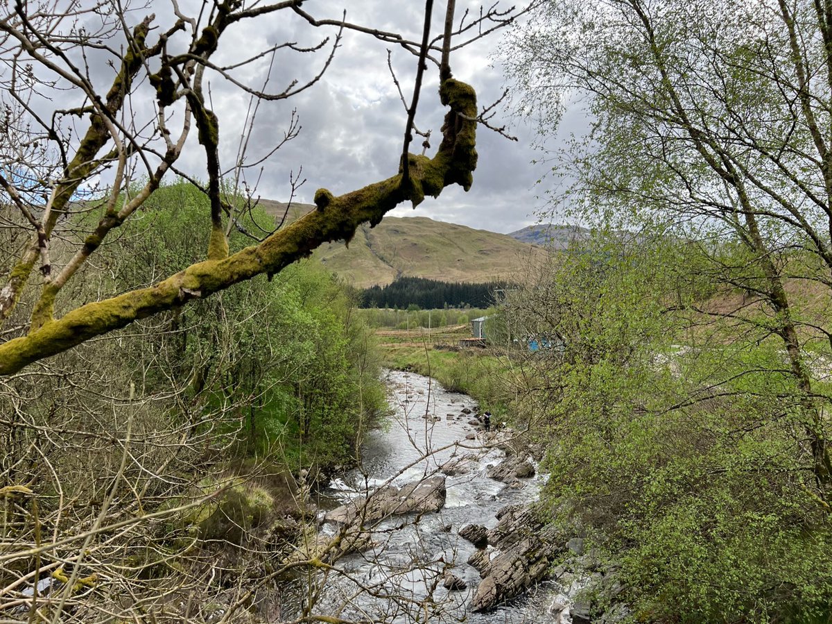
We met the River Fillan again, and followed it for a kilometre or so. The route doesn’t cross over the river here, but Ian nipped onto the bridge to check out the views. 


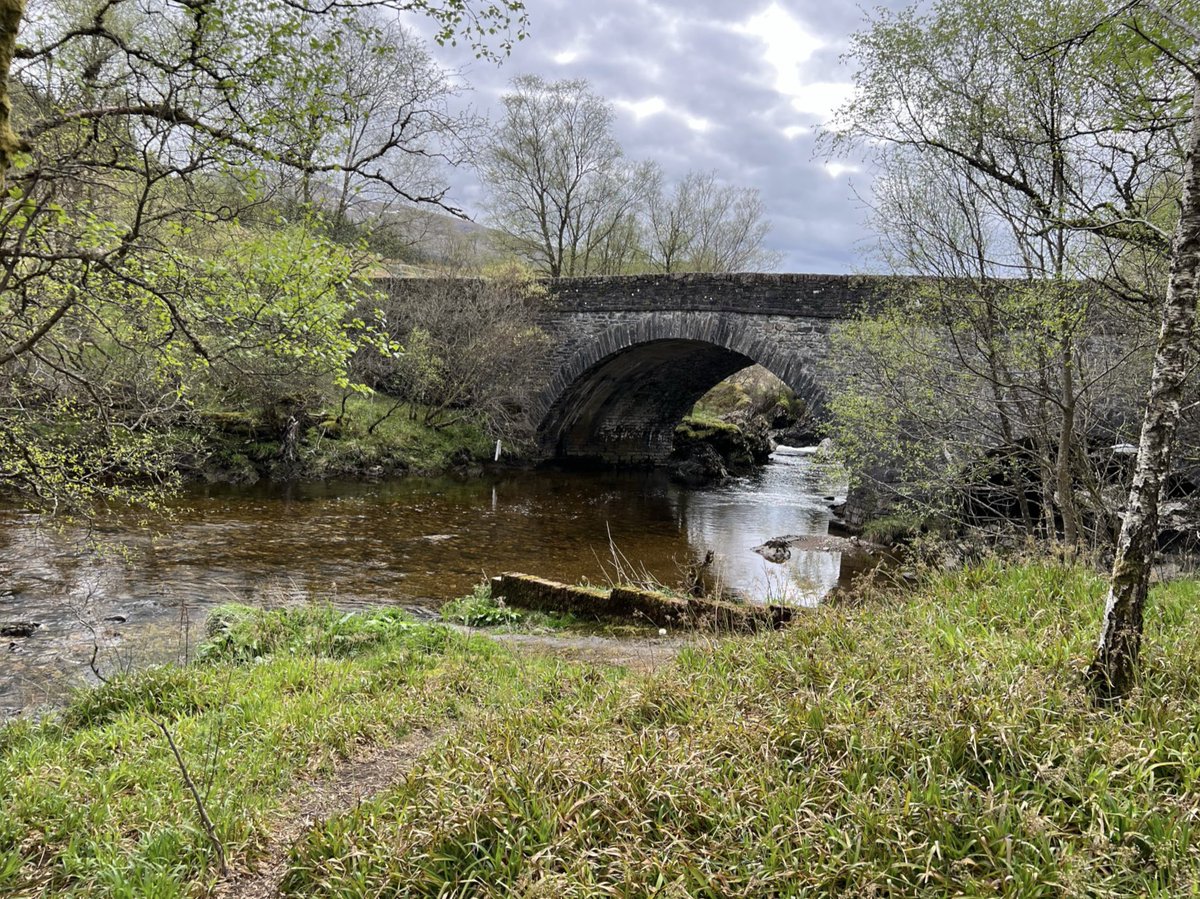
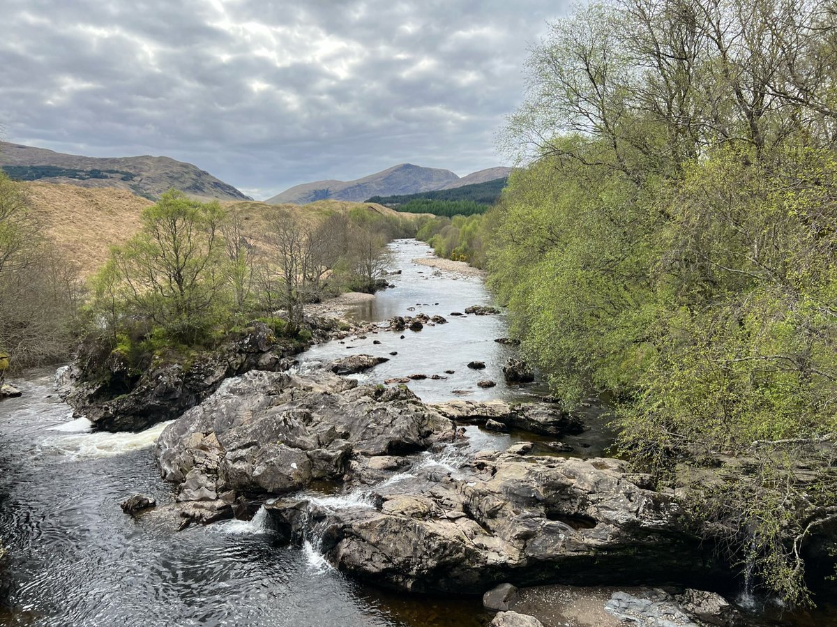
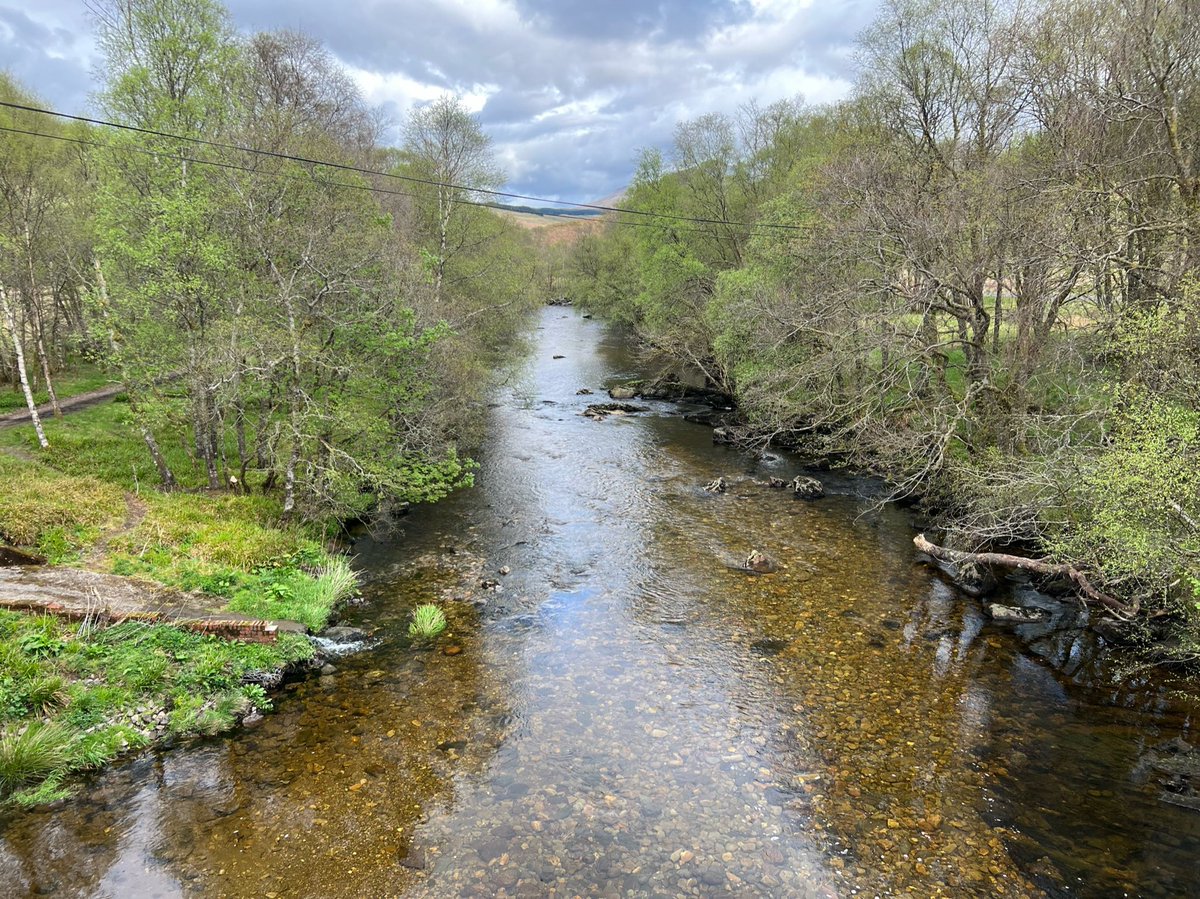
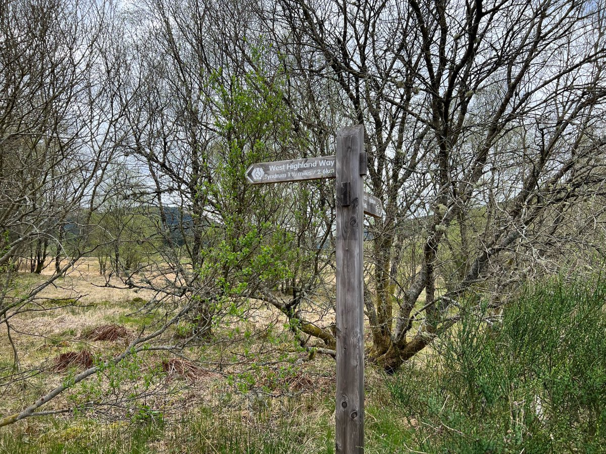
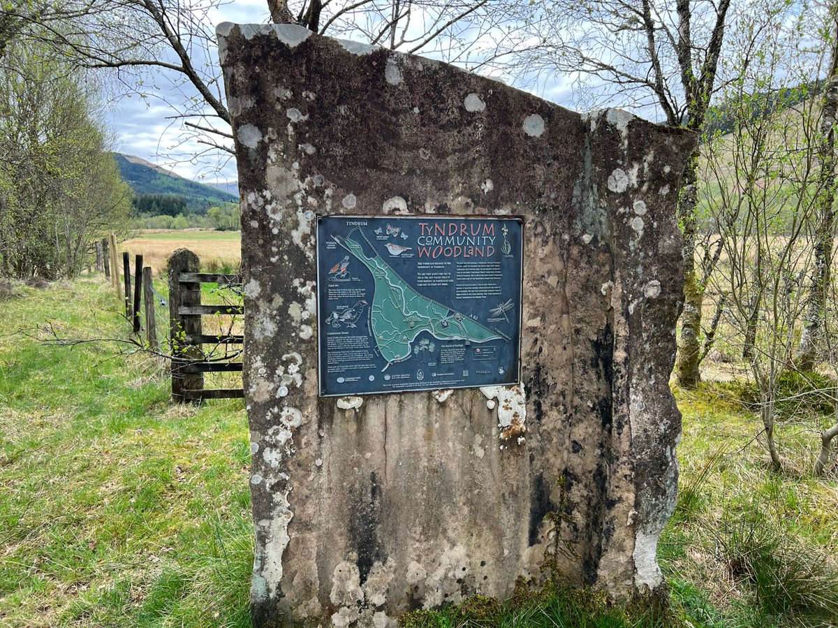
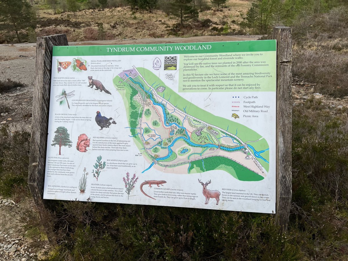
The path goes through trees by the river, and there’s an interpretation board for “Tyndrum Community Woodland”. It was planted after a wildfire in 2000, using seeds from a nearby remnant of Caledonian Forest. A WHW sign told us it was only 2.6km to Tyndrum! 


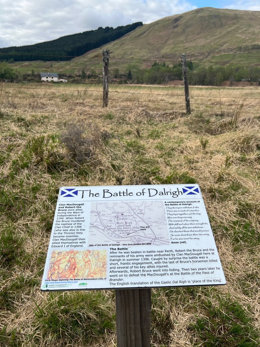
We passed the site of the Battle of Dalrigh (King's Field) where Robert the Bruce and his troops were ambushed and defeated in 1306 by his former allies - Clan MacDougall, and he narrowly escaped capture. 

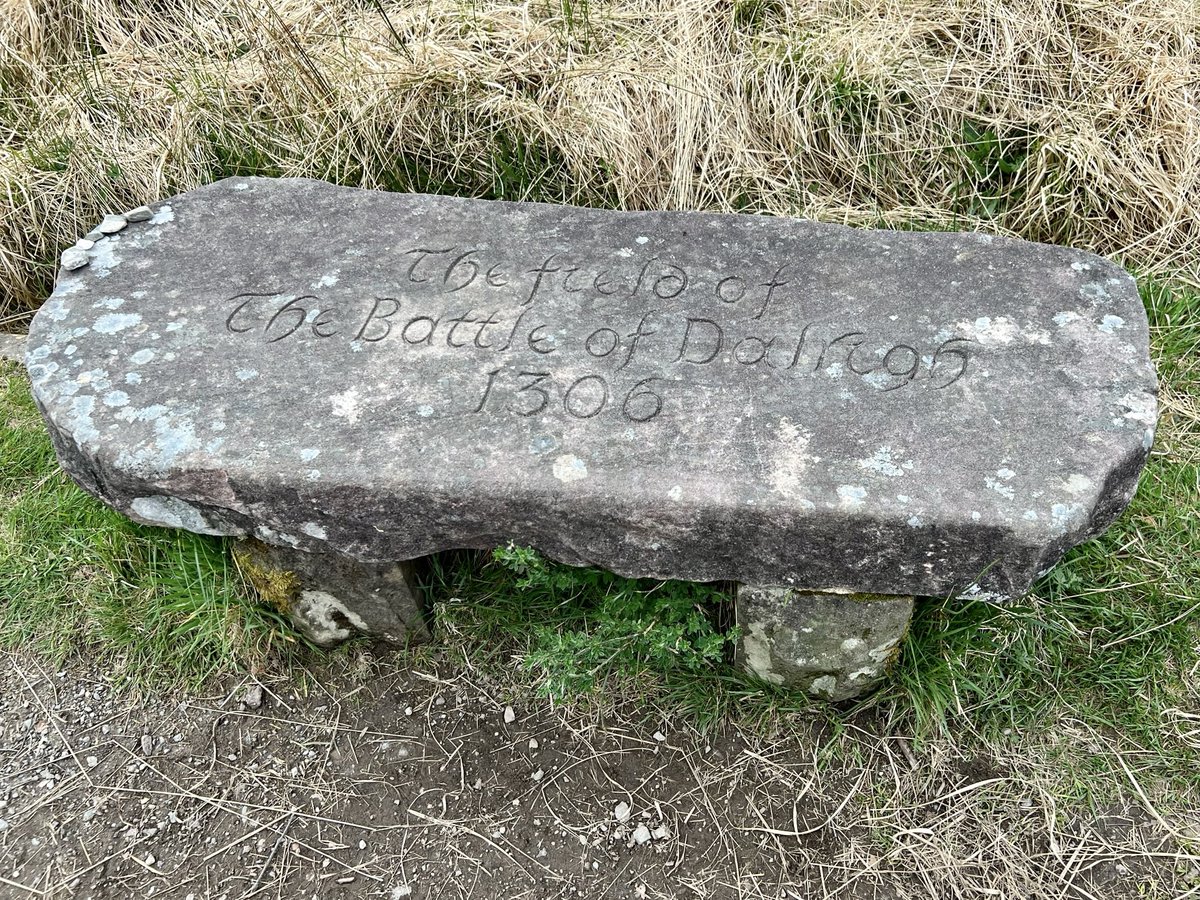
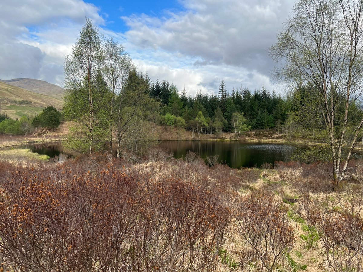
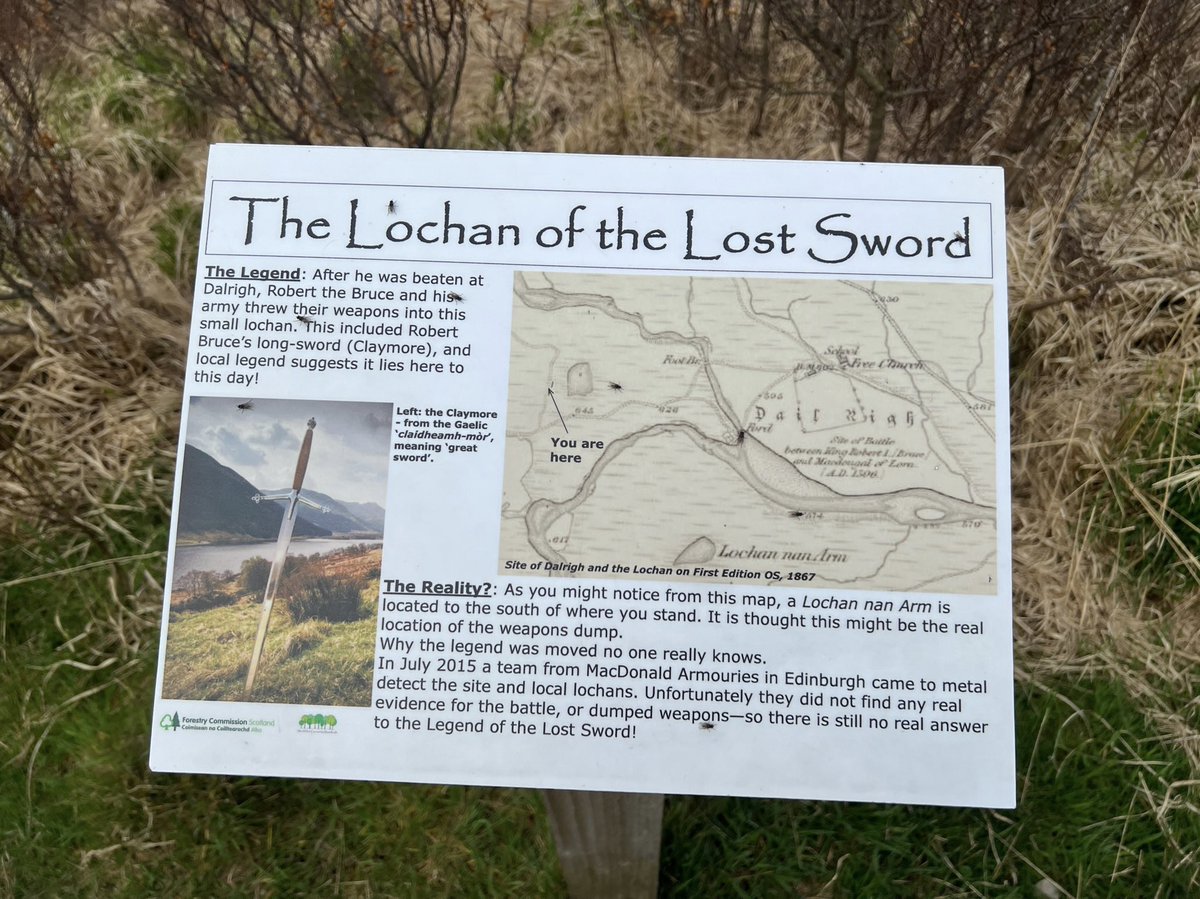
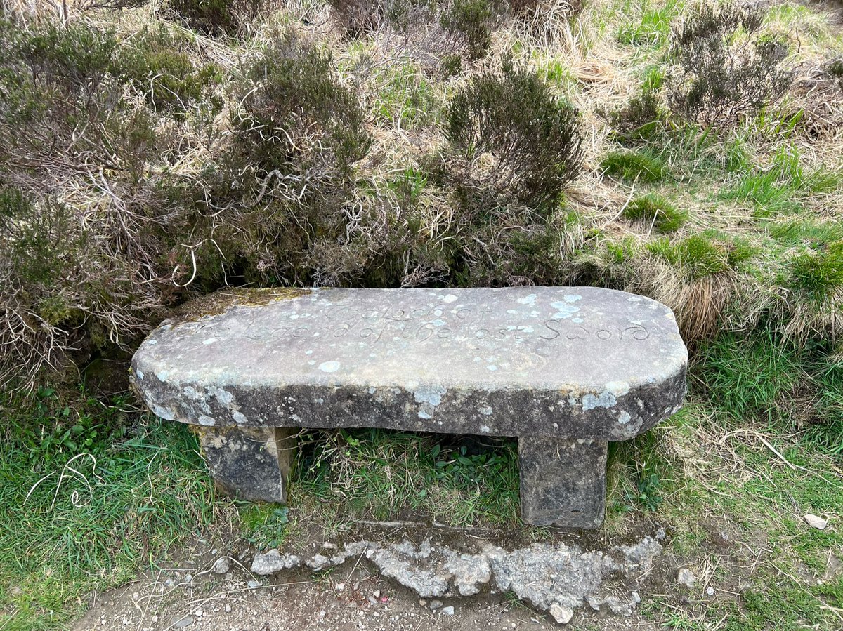
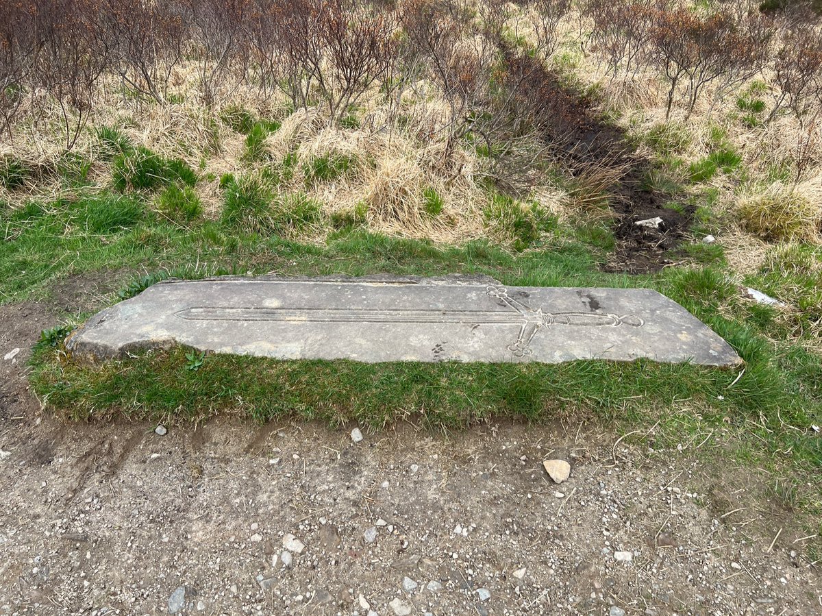
Not far along from Dalrigh we passed the Lochan of the Lost Sword. Legend has it that after he was beaten at
Dalrigh, Robert the Bruce and his
army threw their weapons into this lochan. This included Bruce's sword - Claymore, and according to folklore it lies here to this day!


Dalrigh, Robert the Bruce and his
army threw their weapons into this lochan. This included Bruce's sword - Claymore, and according to folklore it lies here to this day!
Just before Tyndrum we saw another interpretation board about the community woodland explaining how the young Scots Pines here were grown from seeds of the remnant of ancient Caledonian Pine Forest on the approach to Beinn Dubhchraig. 


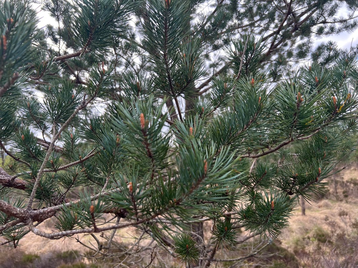
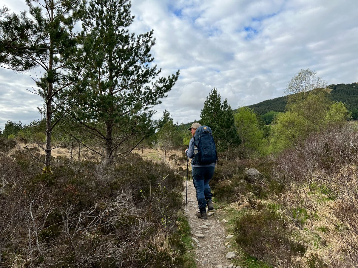
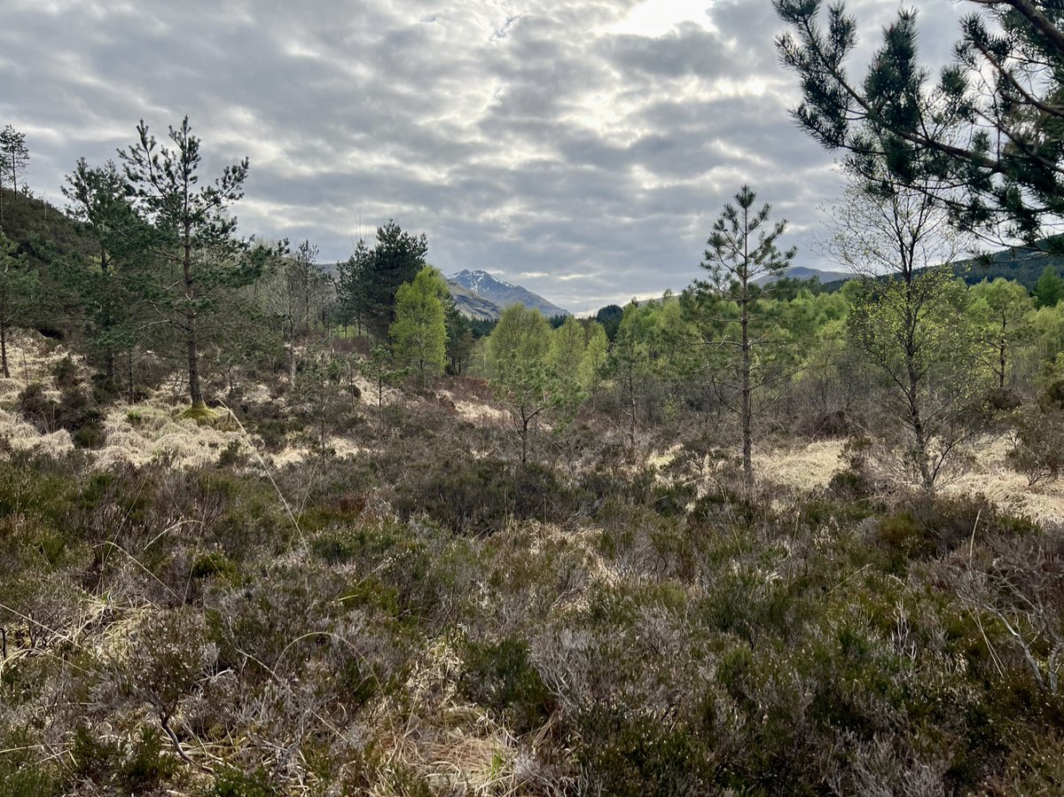
It’s an incredibly beautiful woodland, and the new trees bring hope - it was a joyful ending to the day’s walking! 


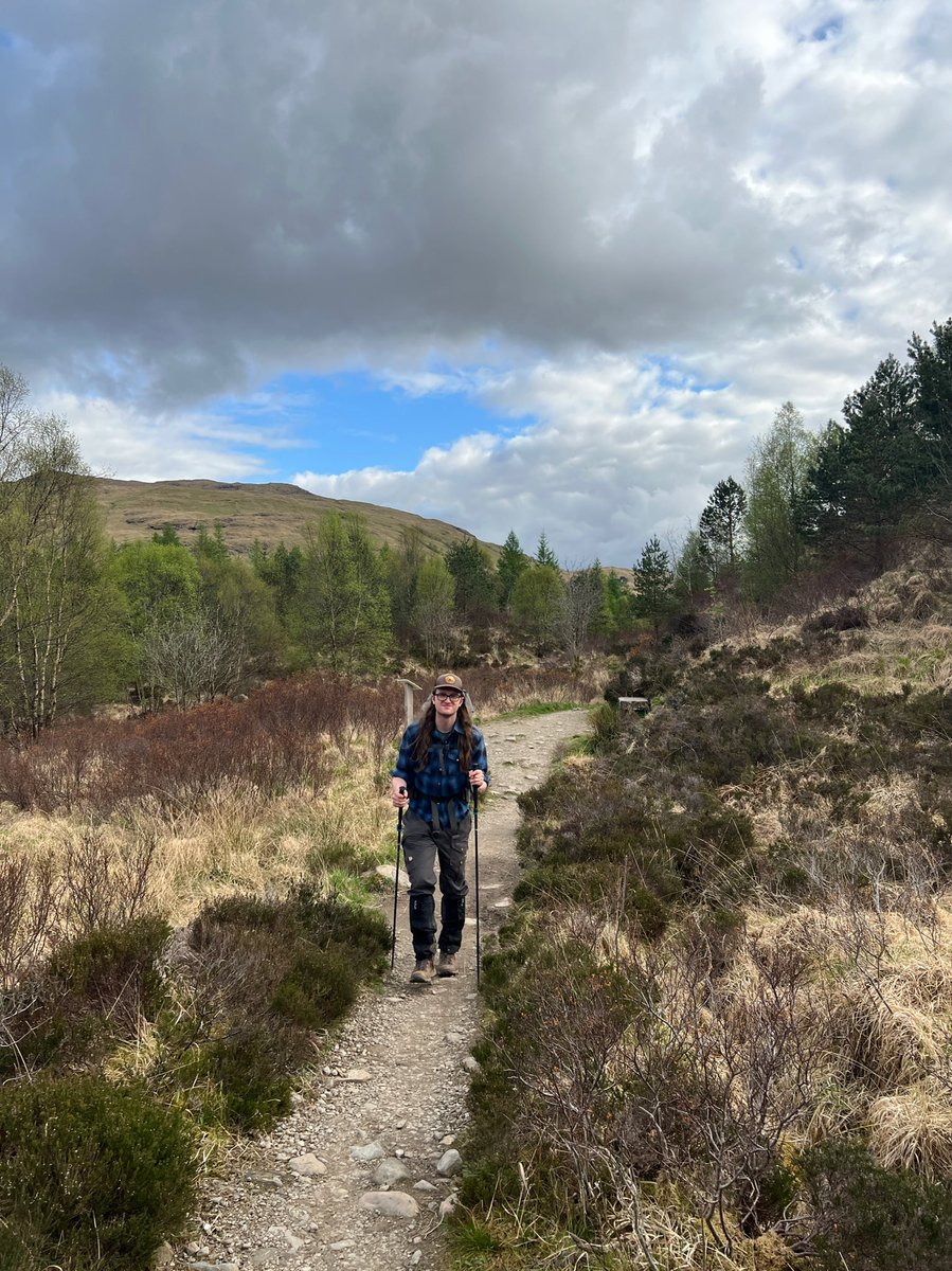
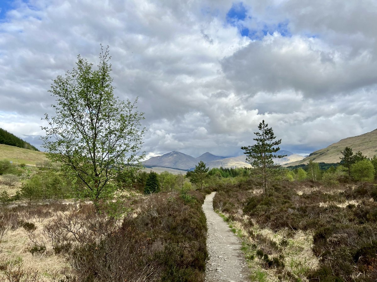
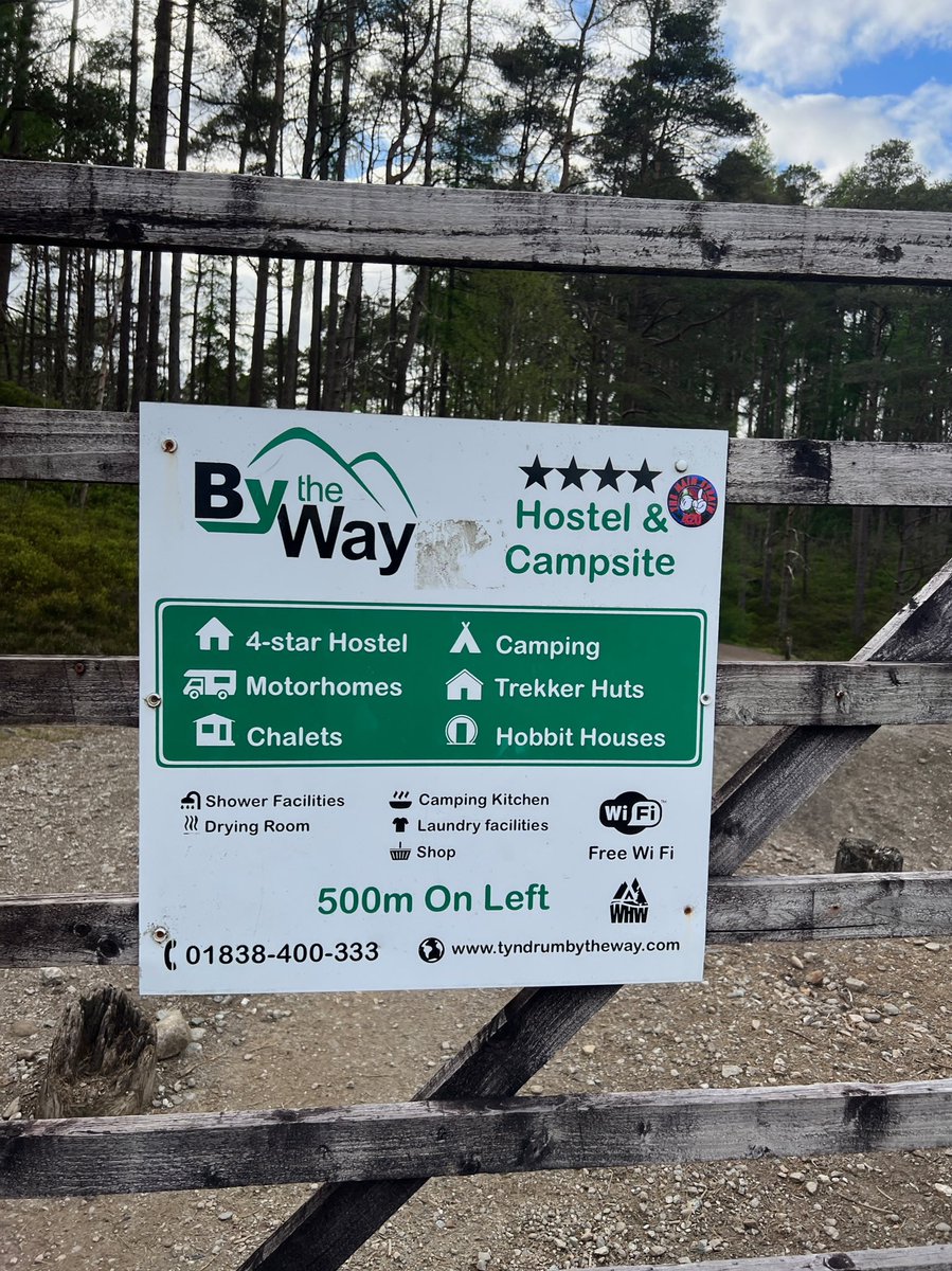
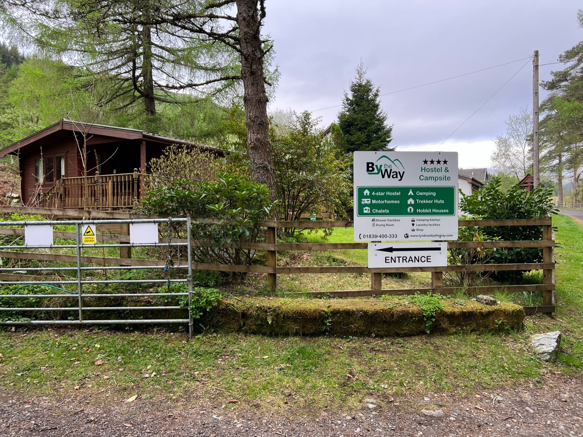
A very welcome sign told us it was 500m to the By the Way campsite we planned to stay in that night at Tyndrum, and soon we had arrived! 

🥾 Day 5
Tyndrum - Glencoe Mountain Resort
28.5km
We were following a the classic WHW 8 day itinerary, so had planned to walk to Inveroran and camp there. But friendly owner, Mike at the (excellent) BTW-campsite suggested to go all the way to Glencoe Mountain Resort if we could.


Tyndrum - Glencoe Mountain Resort
28.5km
We were following a the classic WHW 8 day itinerary, so had planned to walk to Inveroran and camp there. But friendly owner, Mike at the (excellent) BTW-campsite suggested to go all the way to Glencoe Mountain Resort if we could.
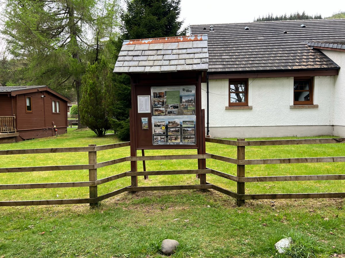
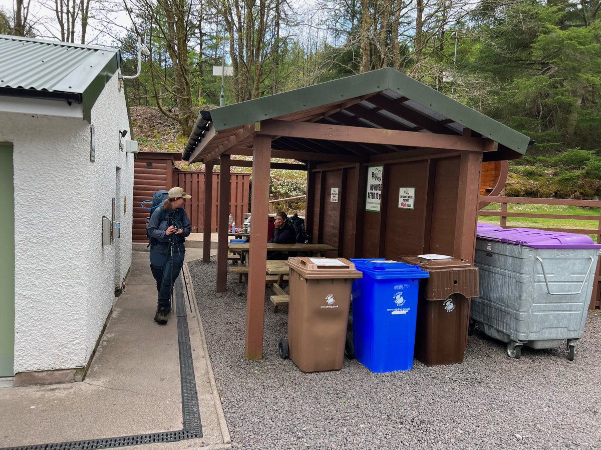
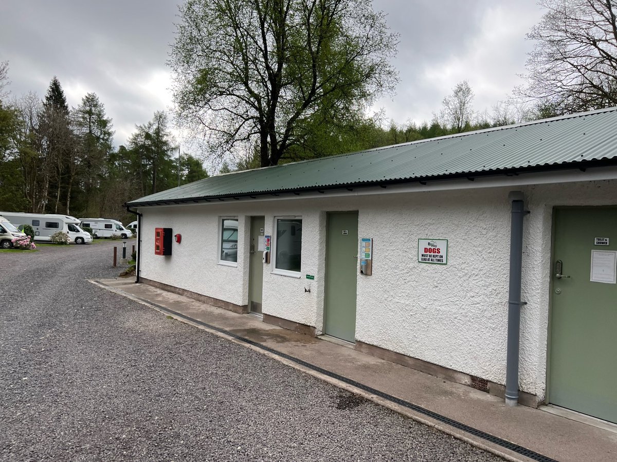

The forecast for Day 6 was atrocious - heavy rain and high winds all day. If we stuck to our itinerary we’d be crossing Rannoch Moor in extreme conditions - which didn’t appeal to us! Mike said GMR had a campsite and cafe so it sounded like an ideal place to sit out the weather. 
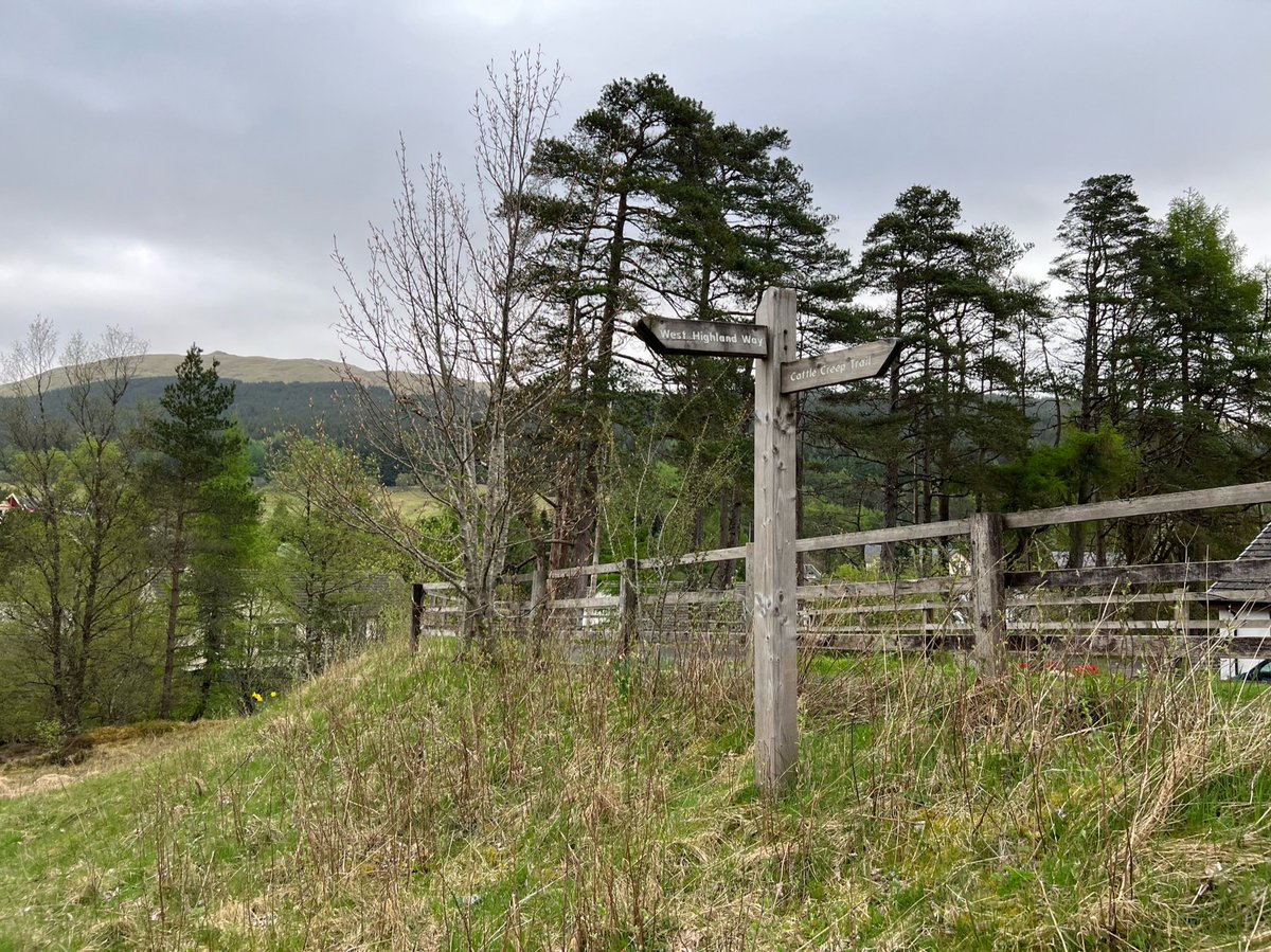
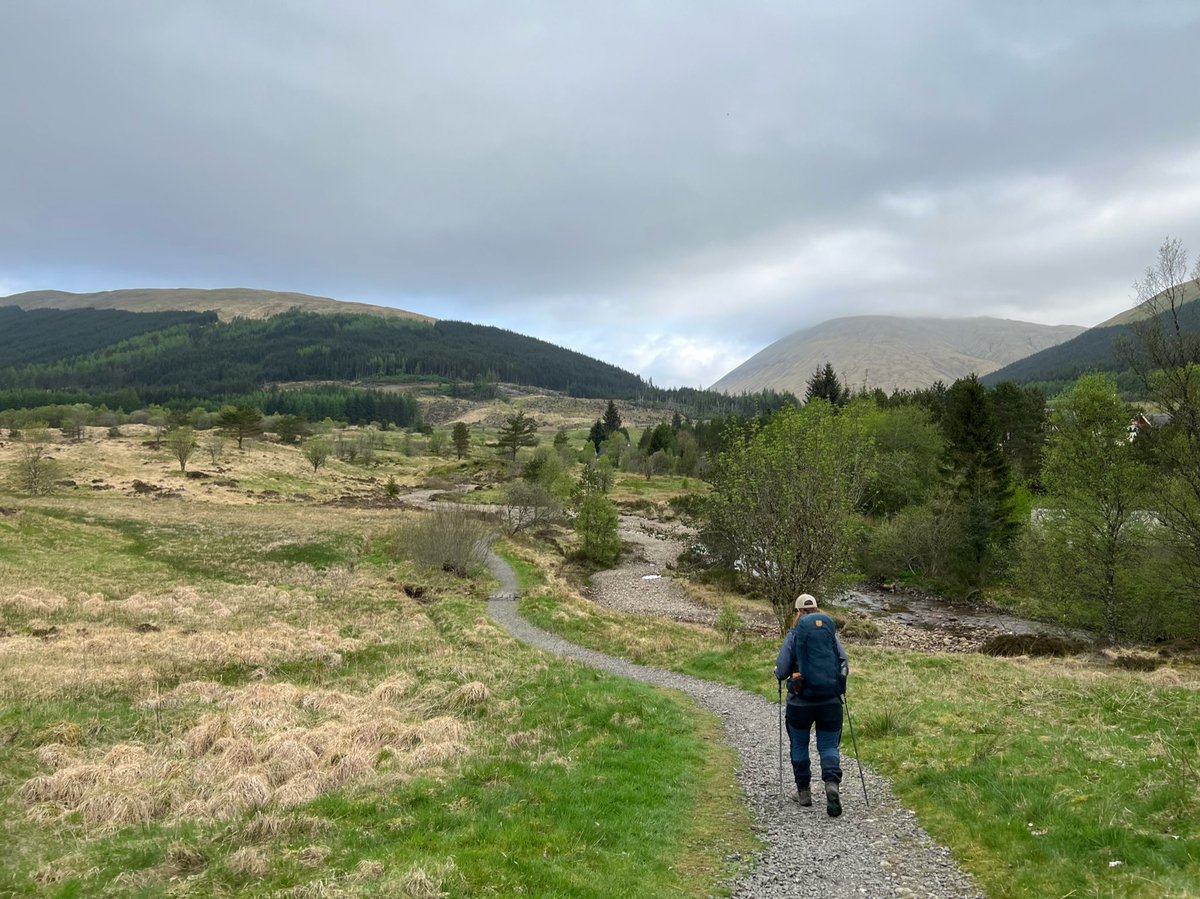
So we decided to aim for Glencoe Mountain Resort but if we were too tired or it was too late when we got to Inveroran we’d reassess. We packed down and set off from the campsite… 
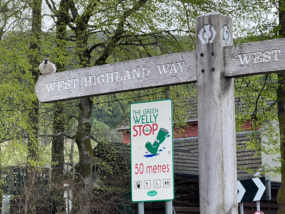
…via a breakfast buttie at Green Welly Stop and a resupply at Brodie’s shop. Green Welly has been in Tyndrum since 1965, and Brodie’s since 1930! 



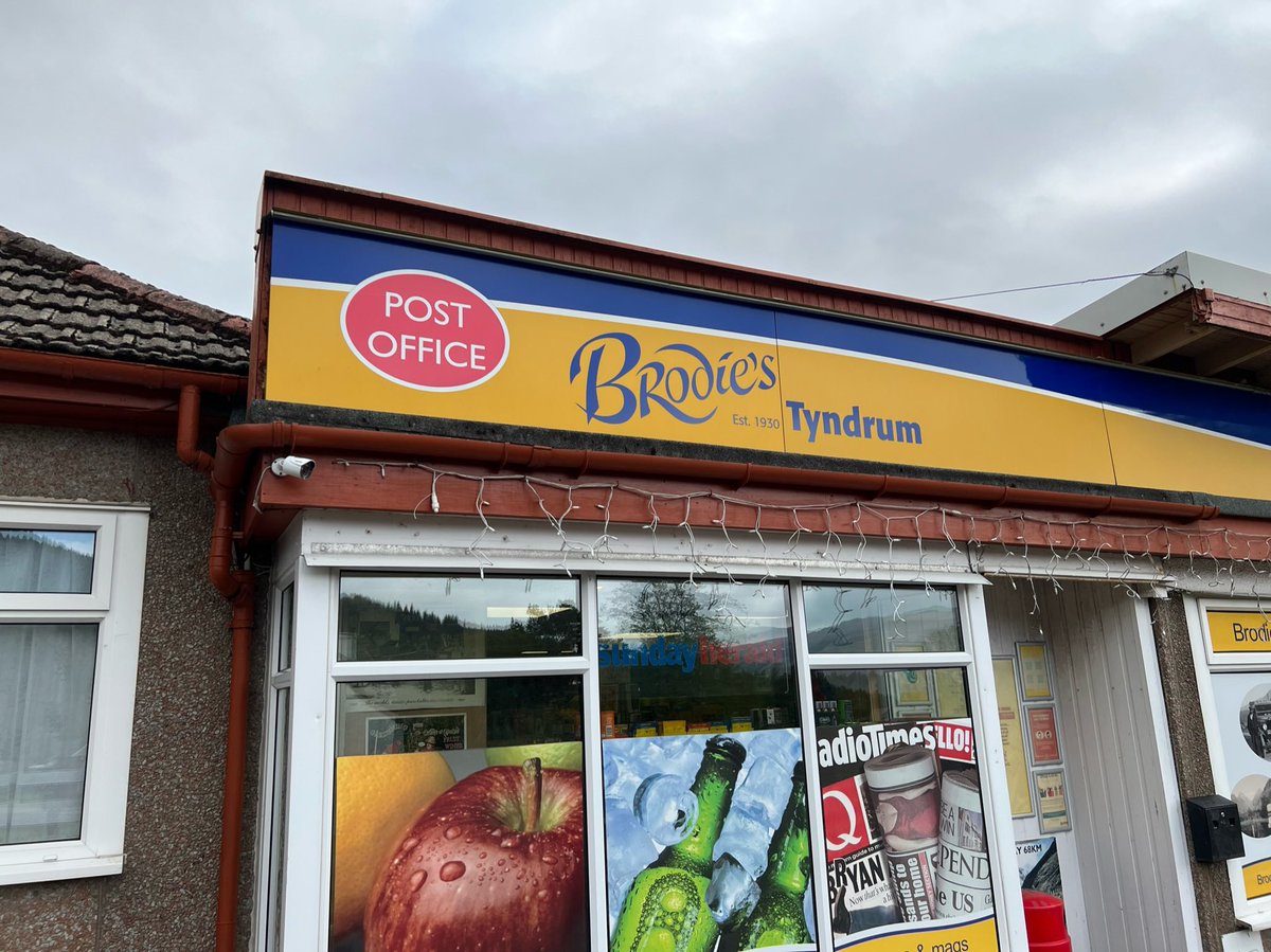
After Brodie’s shop the trail goes between the A82 and the West Highland Line again. This is another place we’ve often glimpsed walkers out the window - so we were excited to finally be here walking along it. Spot the Bobby’s Onion Rings from Brodie’s too - top hiking snack! 
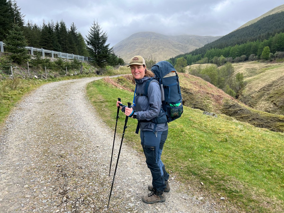
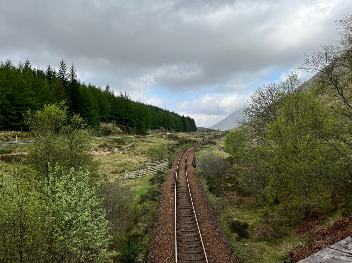
We crossed over the West Highland Line, and followed the Old Military Road parallel to the A82 and the railway. We waved goodbye to the Corbett, Beinn Odhar - at 902m it’s just 13m short of being a Munro. And got our first glimpse of the Munro - Beinn Dòrain (1076m). 


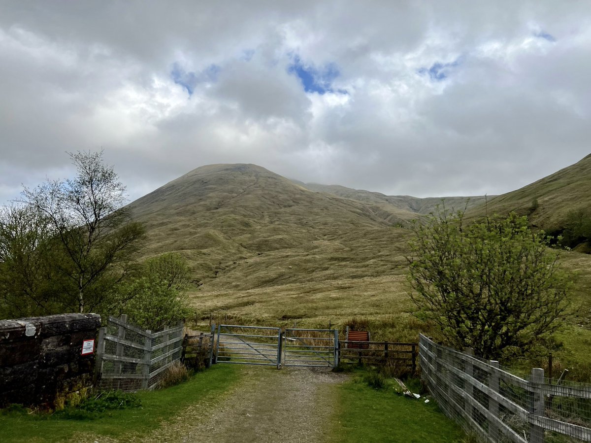
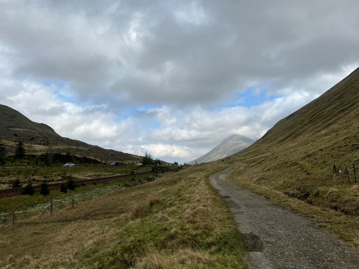
The route took us back under the West Highland Line, and then alongside the Allt Coire Chailein with spectacular views of Beinn Dòrain ahead! 


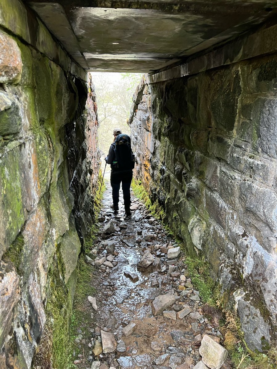
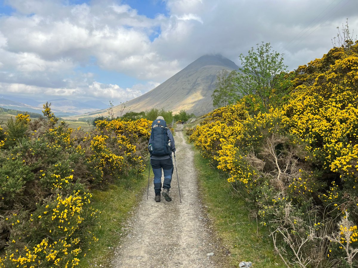
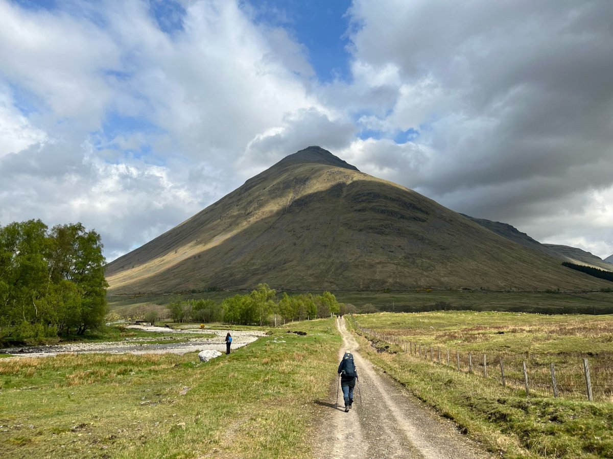
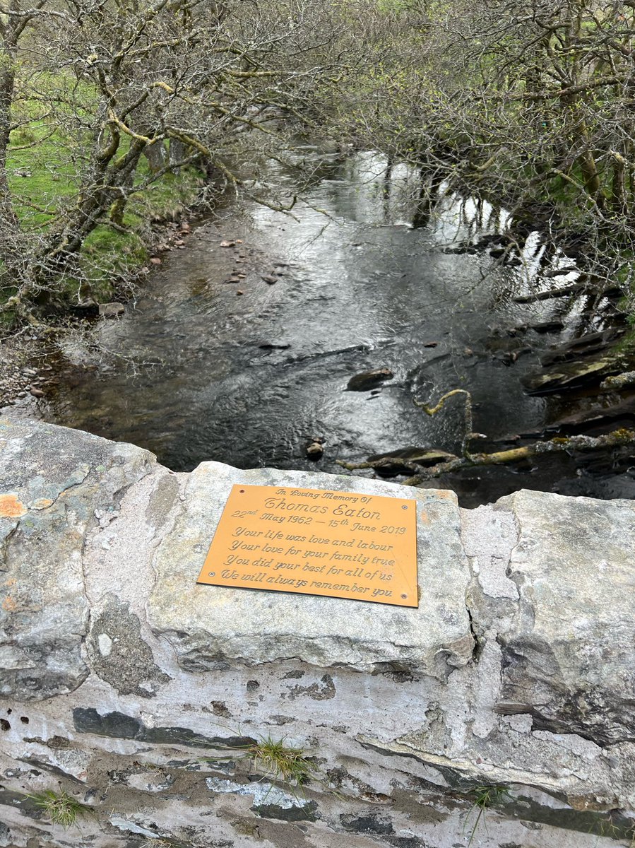
We’d reached the point where the Allt Coire Chailein flowed into the Allt Kinglass, on its way to the River Orchy. We crossed the Allt Kinglass on a stone bridge with a touching memorial, and traversed the foot of Beinn Dòrain alongside the river. 


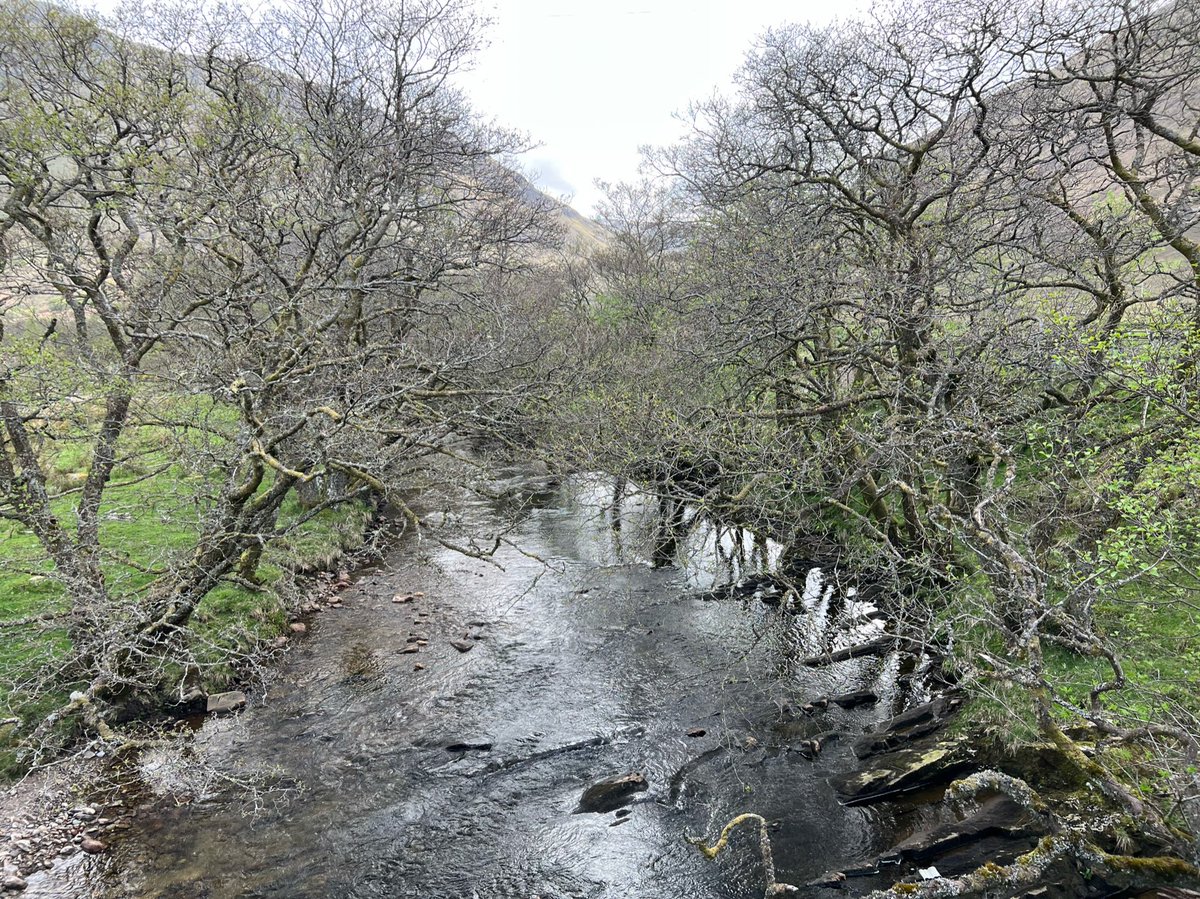
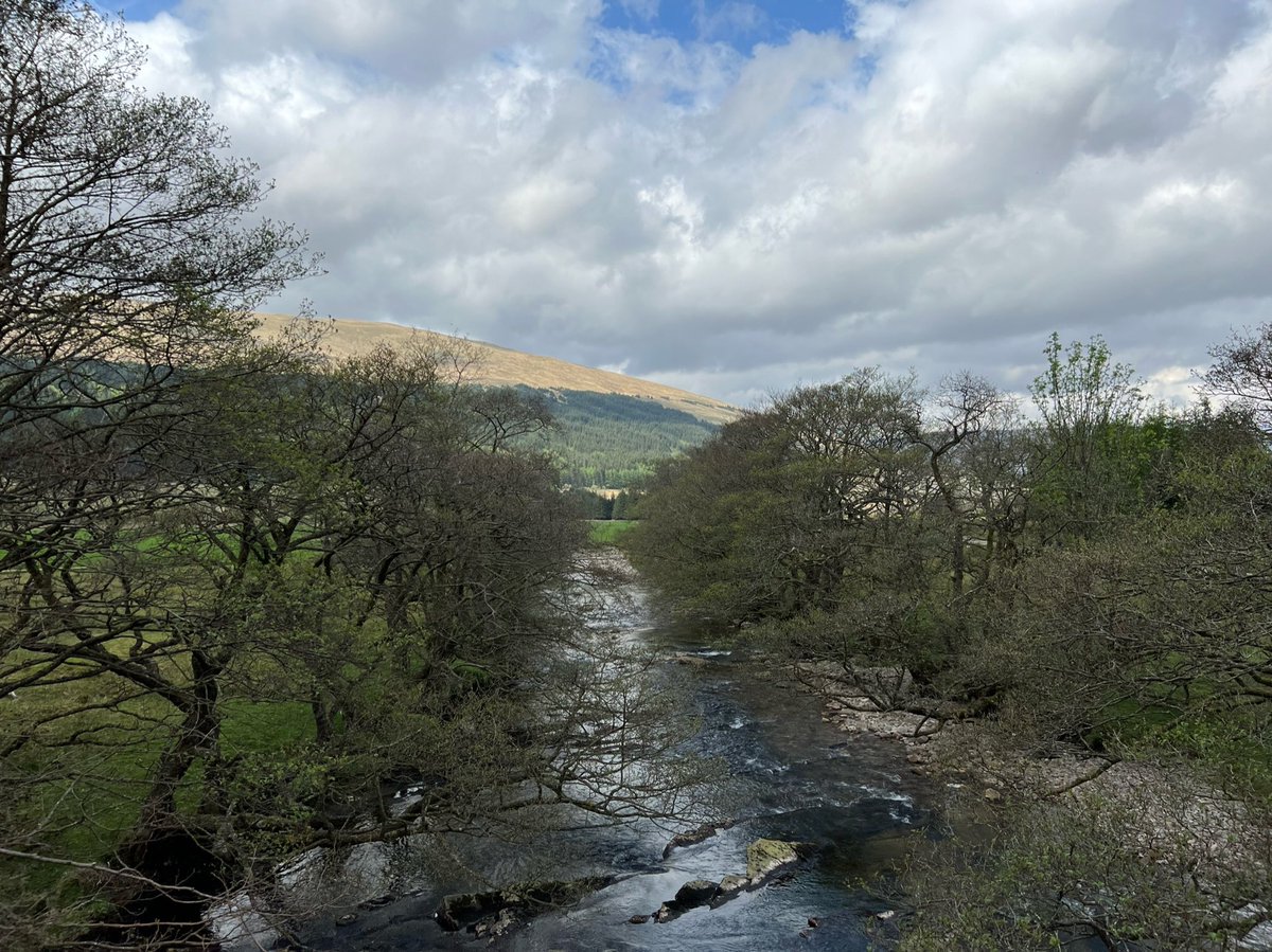
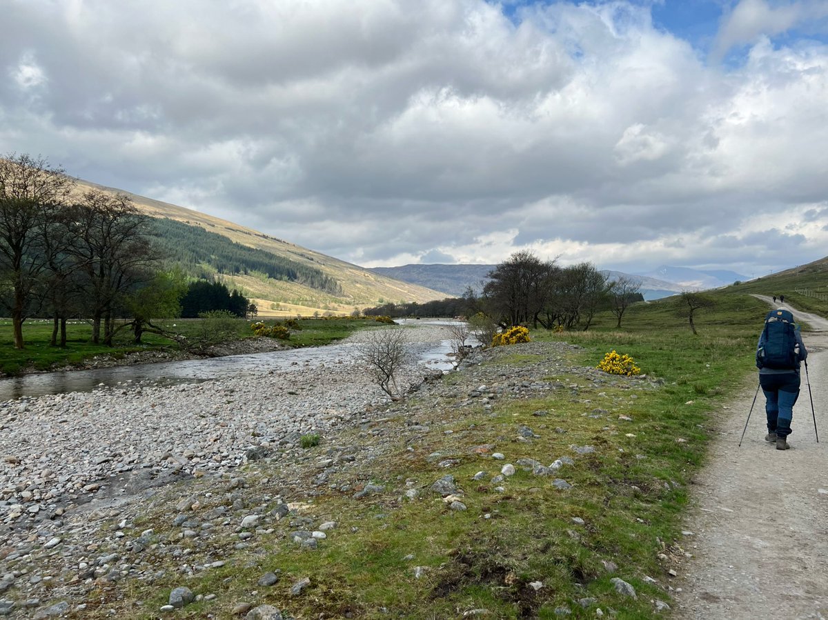
Another railway bridge led us away from the riverside to continue walking in the direction of its flow to the Orchy, but on the opposite side of the tracks. 

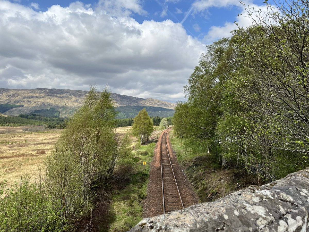
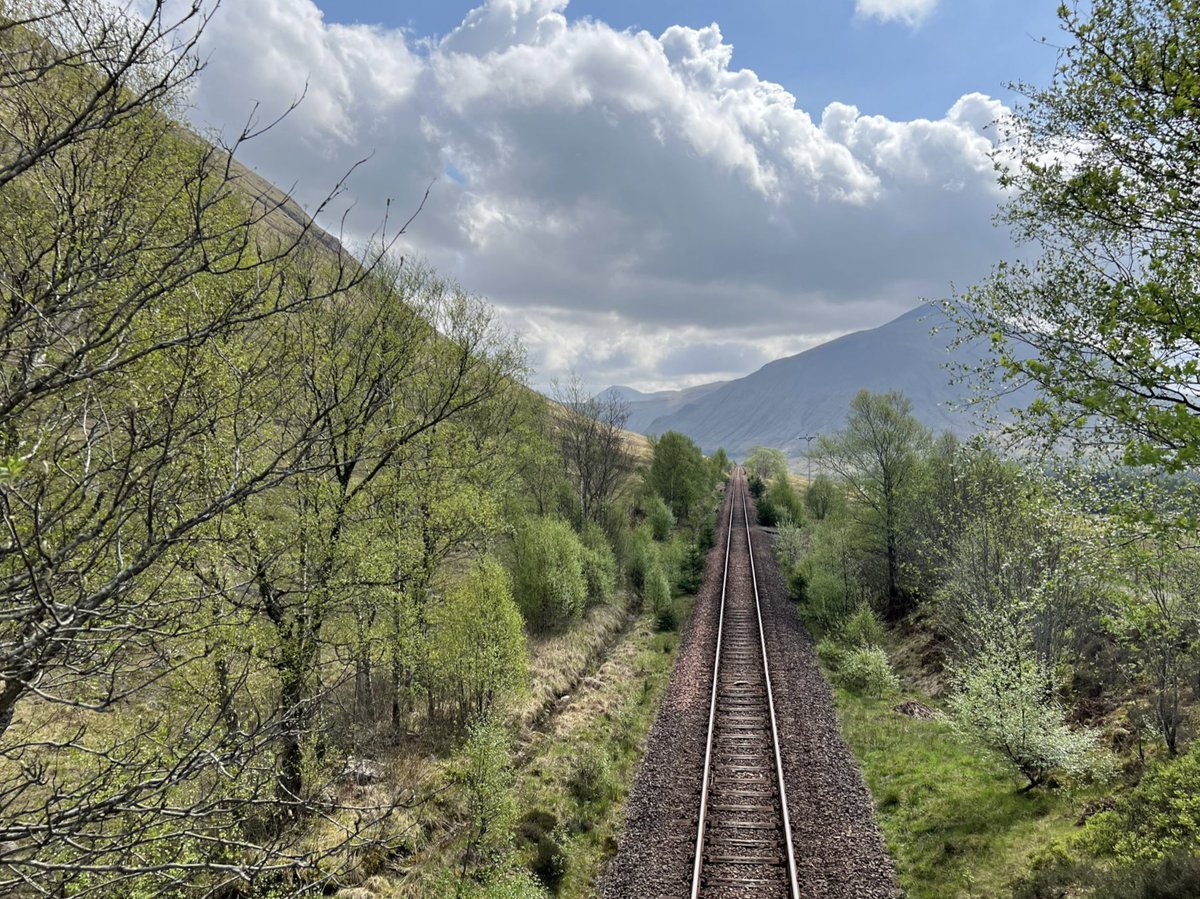
We’d reached Bridge of Orchy! A station we’d passed through so many times on the sleeper train. We crossed under the tracks for the last time - this is where the West Highland Way leaves the West Highland Line. We wouldn’t see it again till Fort William - our final destination. 


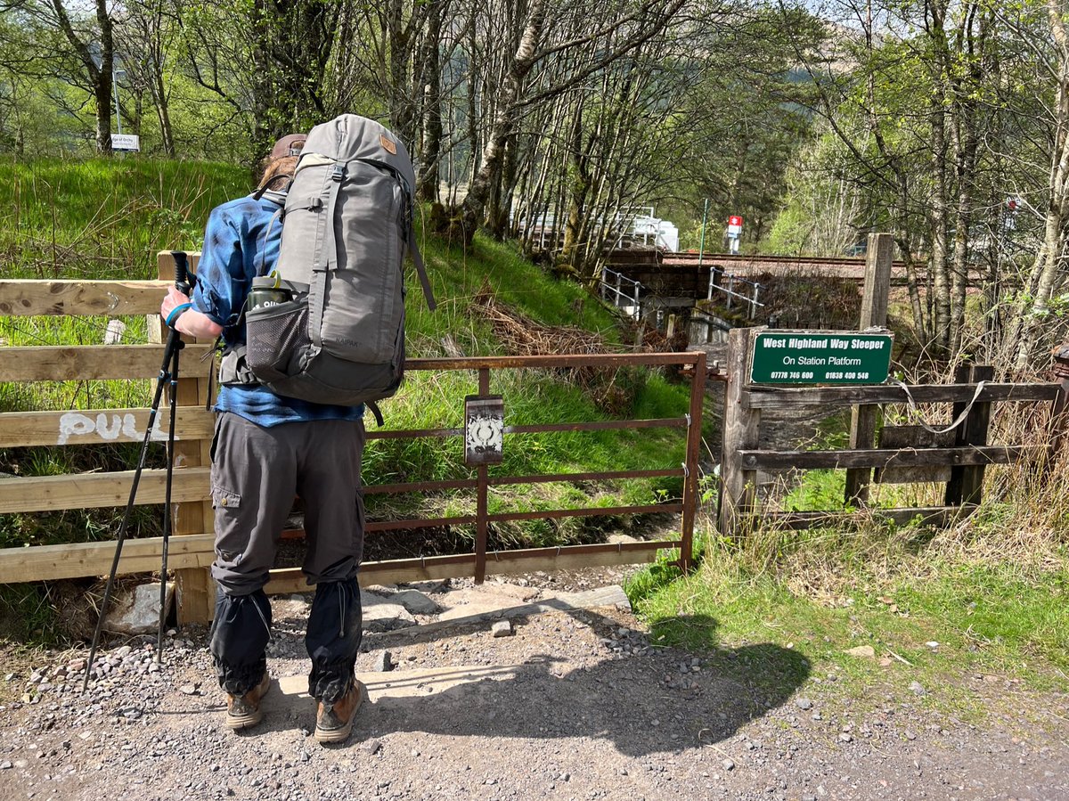
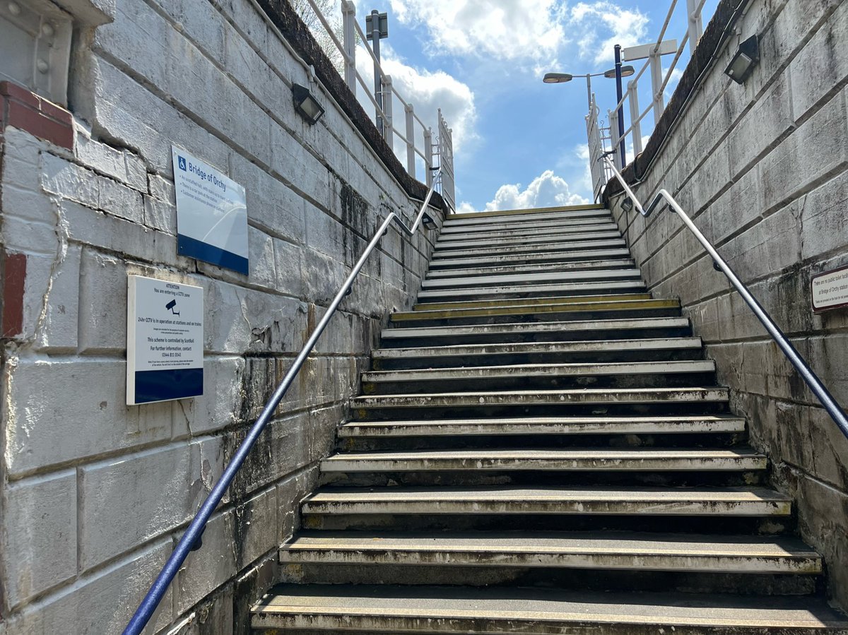
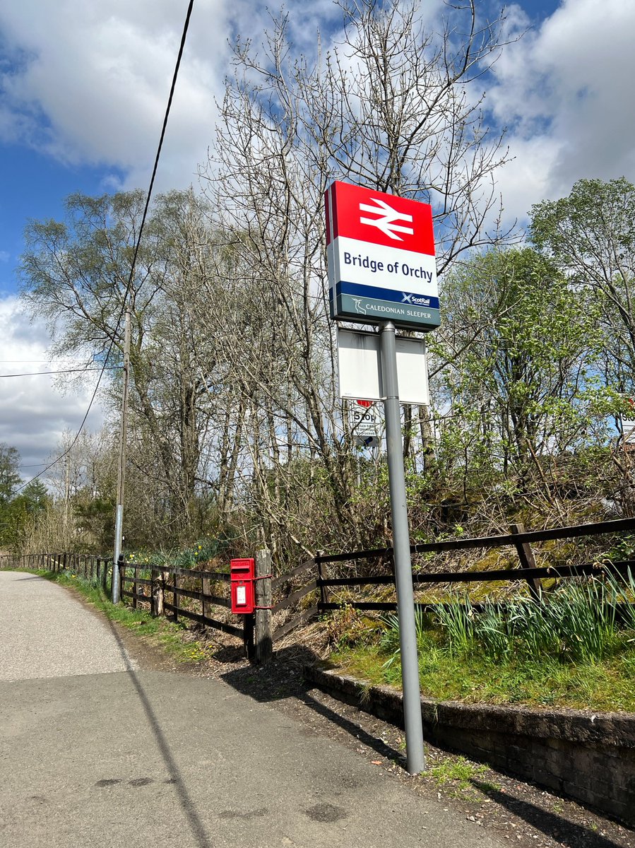
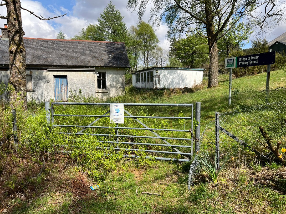
Next to the station is the abandoned Bridge of Orchy Primary School, which dates from 1898. The school has been closed since 2 April 2004 and the building was recently sold so I assume it’s soon to be developed. 
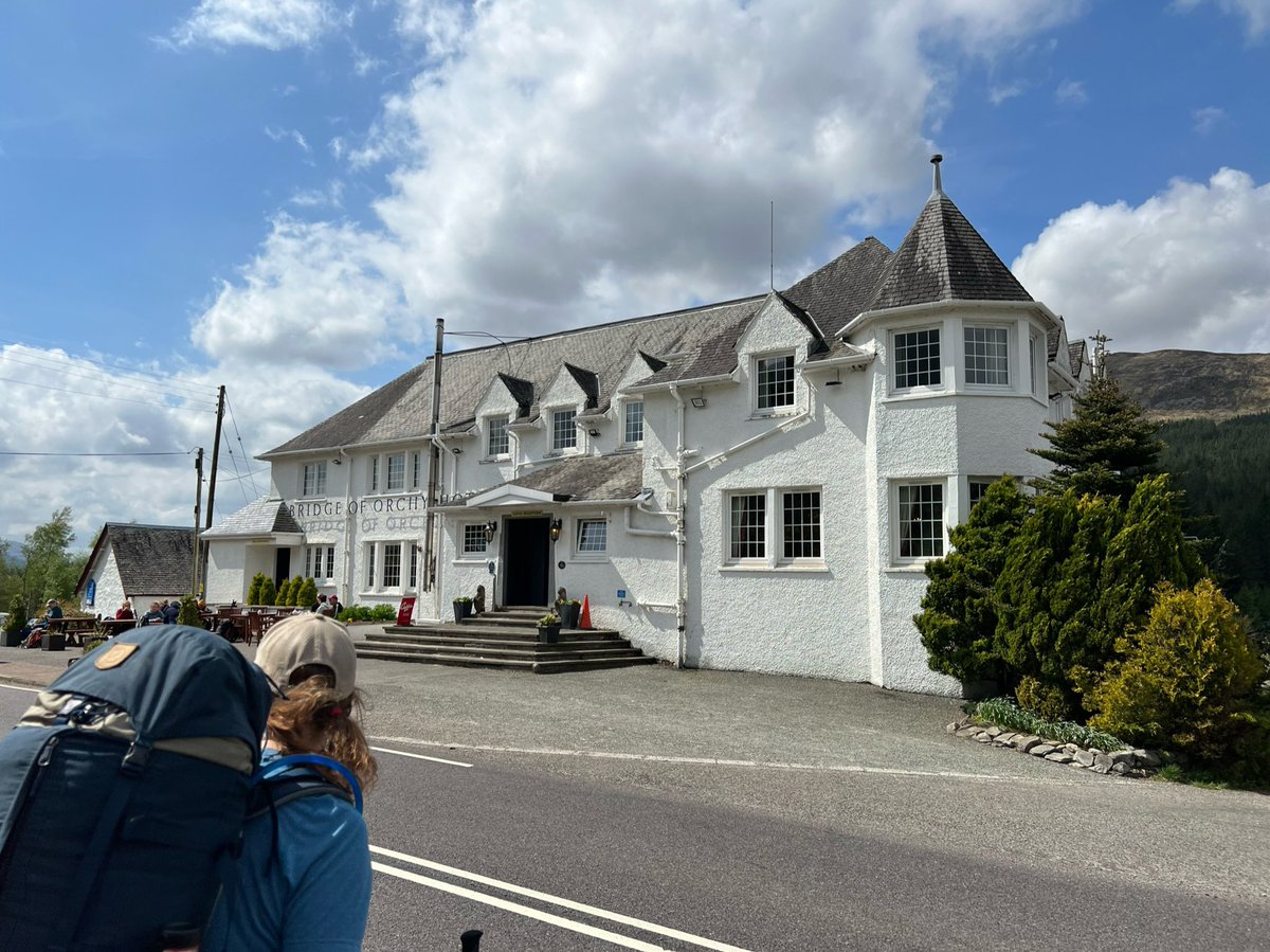
Opposite the station by the river is the Bridge of Orchy Hotel, built in the 1930s when the A82 was rerouted through here. Lots of our trail friends we’d met along the way were sitting outside, and we joined them in the sunshine. 
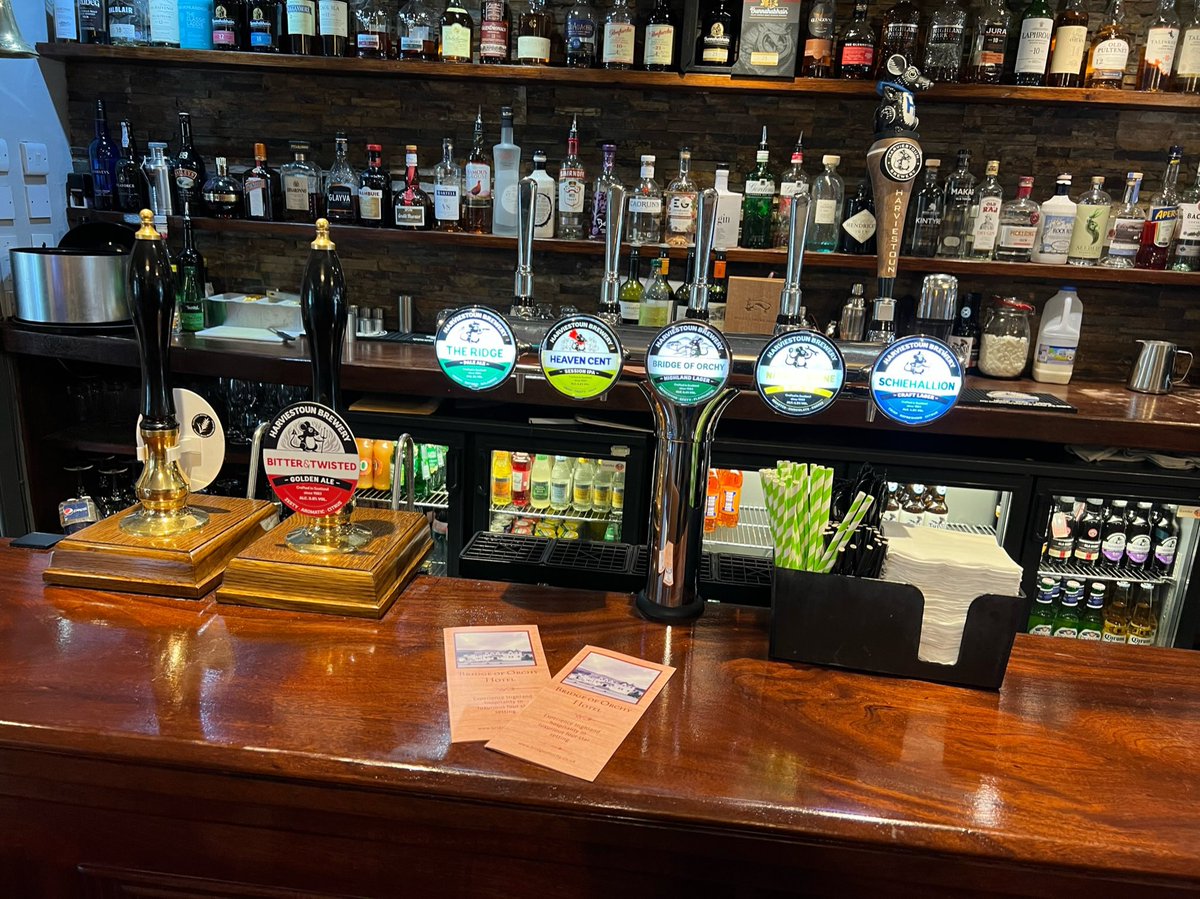
Inside they have an amazing @HarviestounBrew bar - they even have their own @BridgeOfOrchyH beer! And a special mouse handpull on Ian’s fave - Schiehallion. And they had my fave @ThistlyCross cider. 
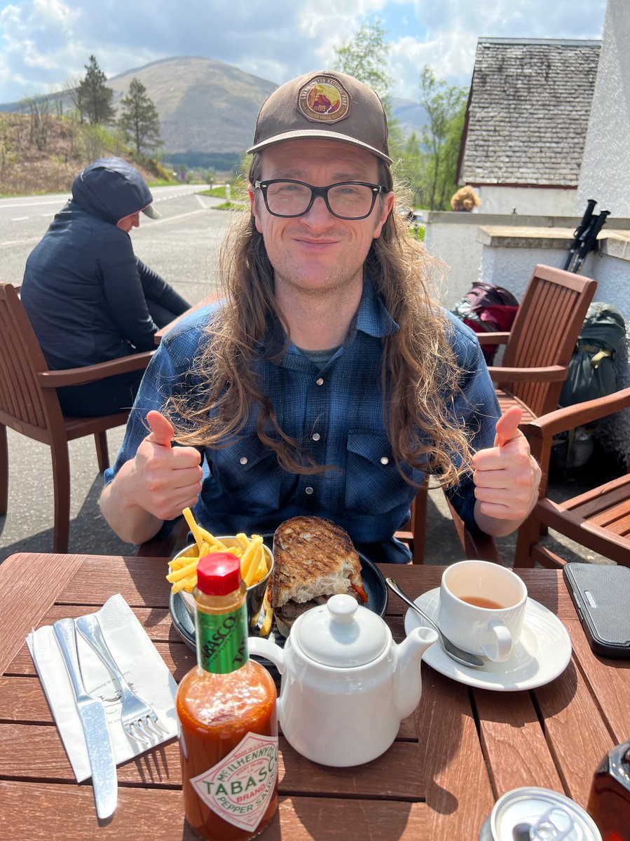
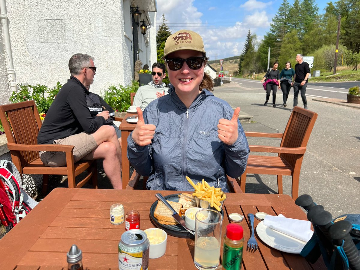
But seeing as we still had about 18km to walk that day we resisted temptation and went for tea, pop, and delicious sandwiches and fries instead. We shall have to return for drinks in the legendary bar! 

It was time to get on our way so we crossed over the River Orchy behind the hotel - famous for its white water rapids and salmon and trout fishing… 

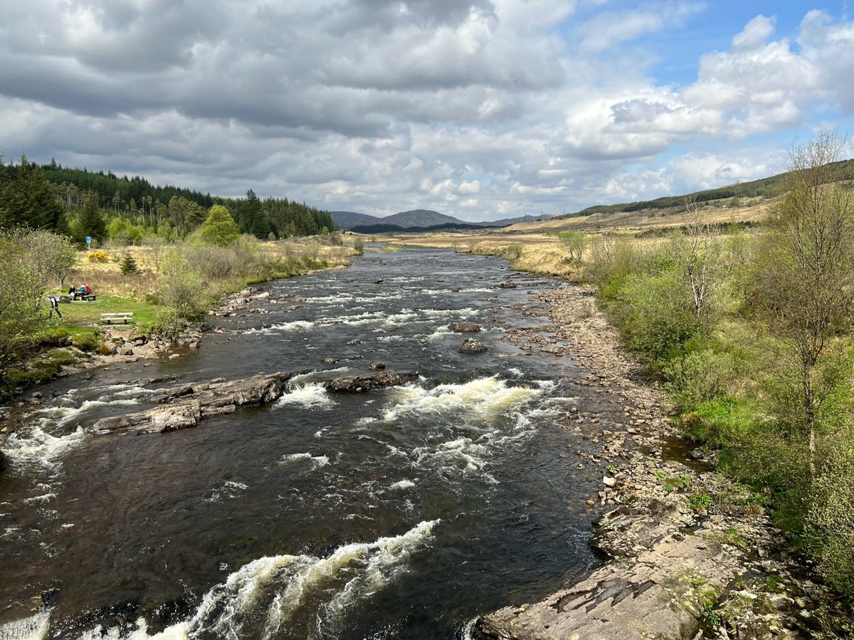
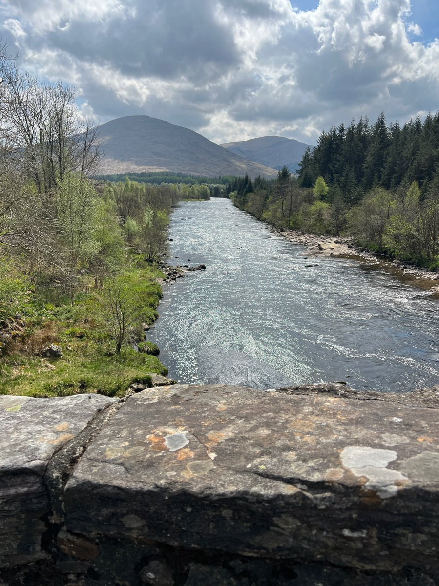
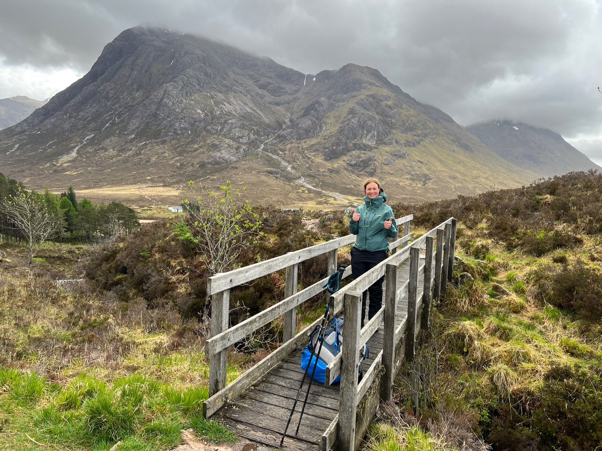
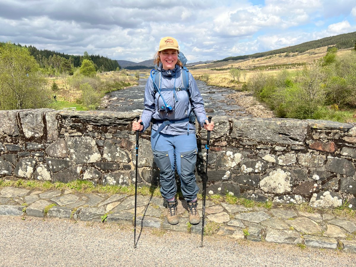
But not before we’d taken a few photos on the bridge - because we love bridges and bridges are exciting! And this is an iconic spot on the West Highland Way. 


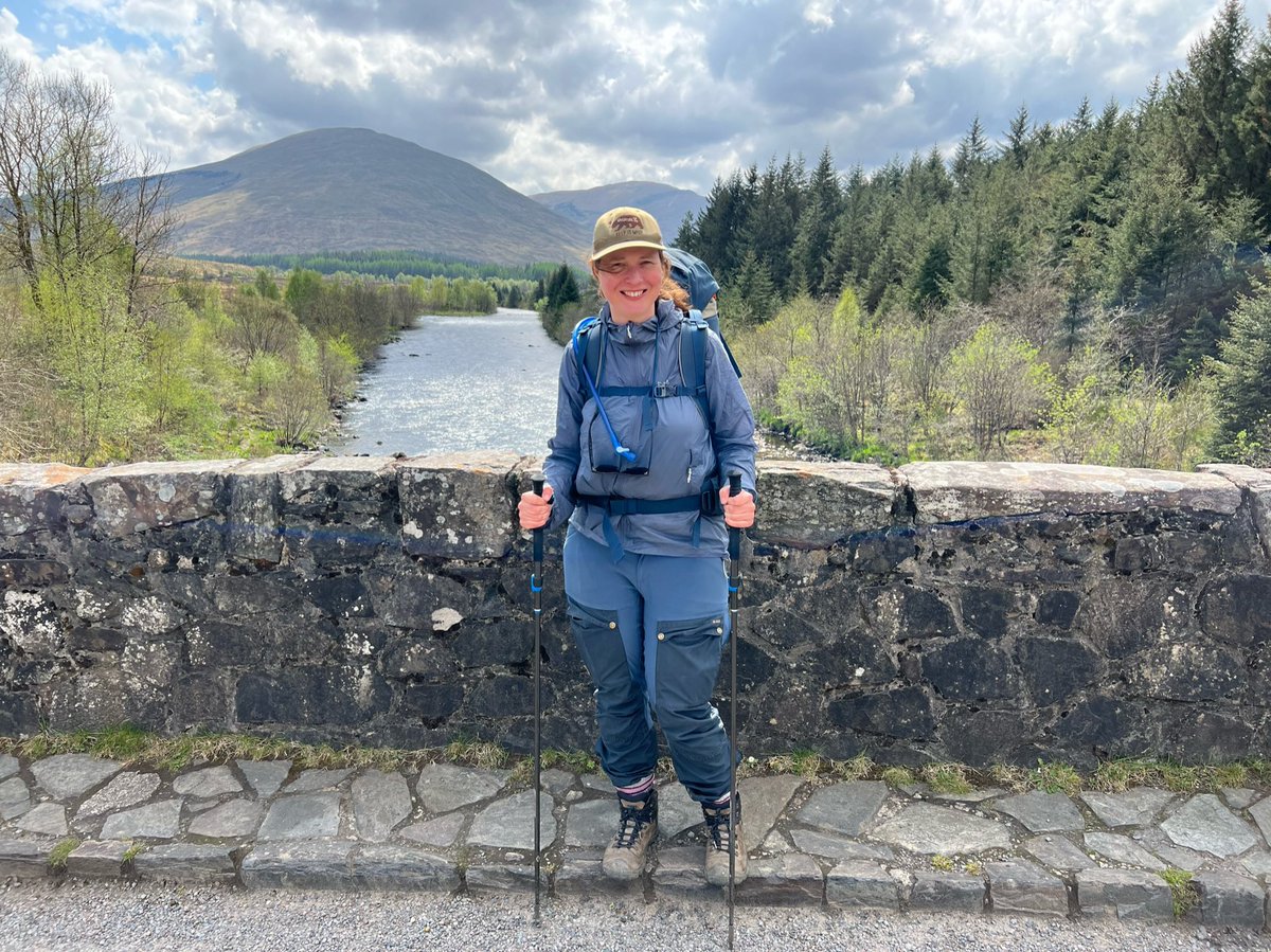
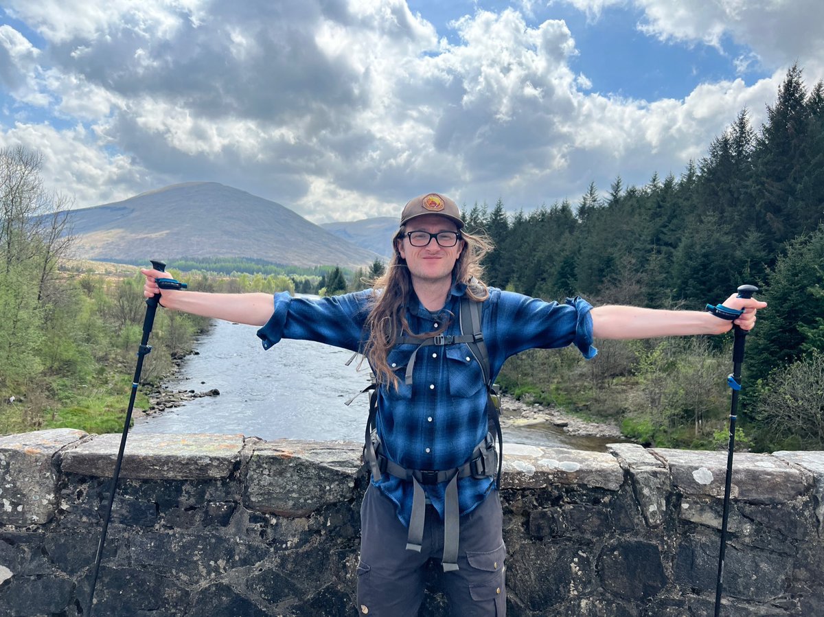
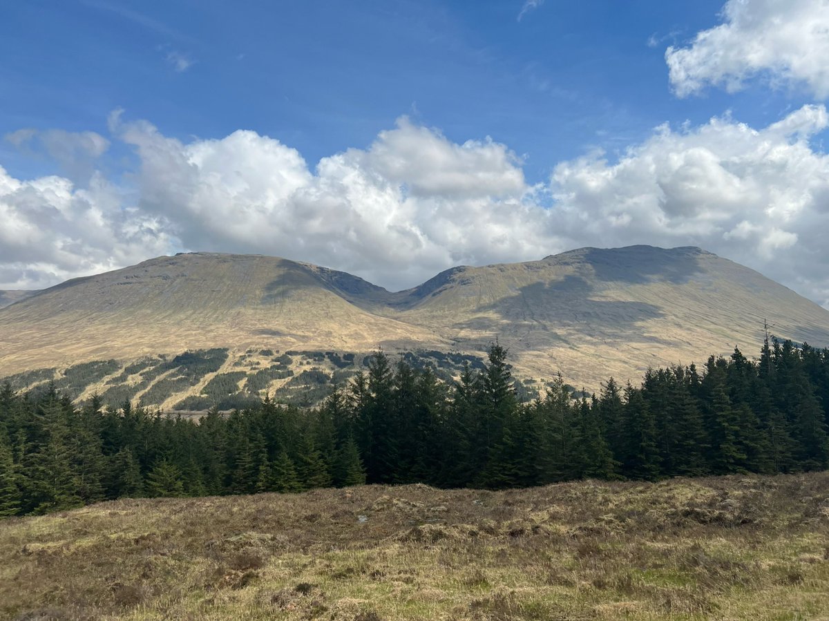
Once we got above the trees we had panoramic views of Beinn Dòrain and its twin Beinn an Dòthaidh. They’re both Munros and can be “bagged” by following the path straight up from Bridge of Orchy to the bealach between them. We haven’t done them, so we agreed we need to come back! 
We did the short detour up to the cairn on Màm Carraigh and were rewarded with sweeping views over Loch Tulla and the peaks of the Black Mount range. 

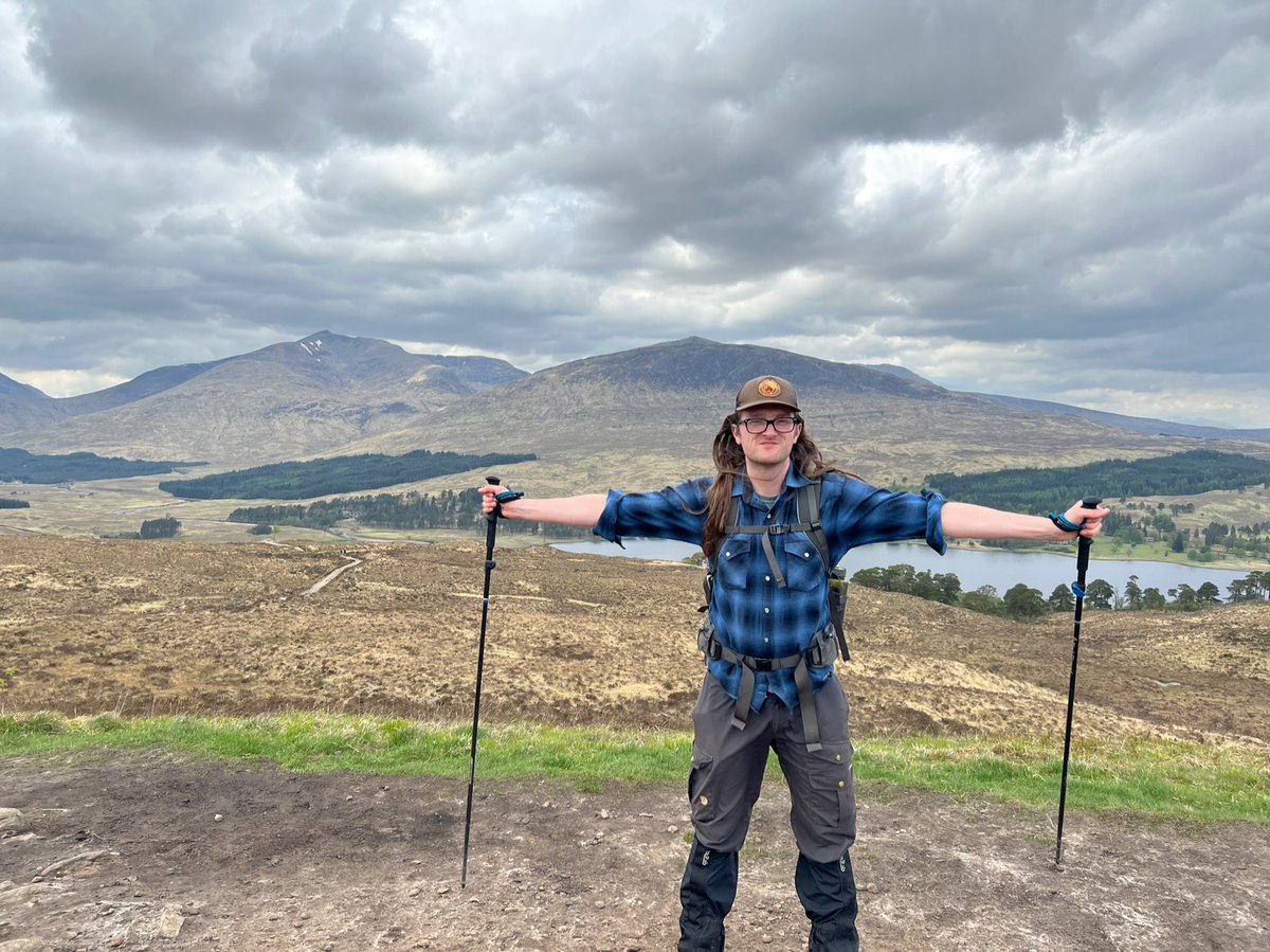
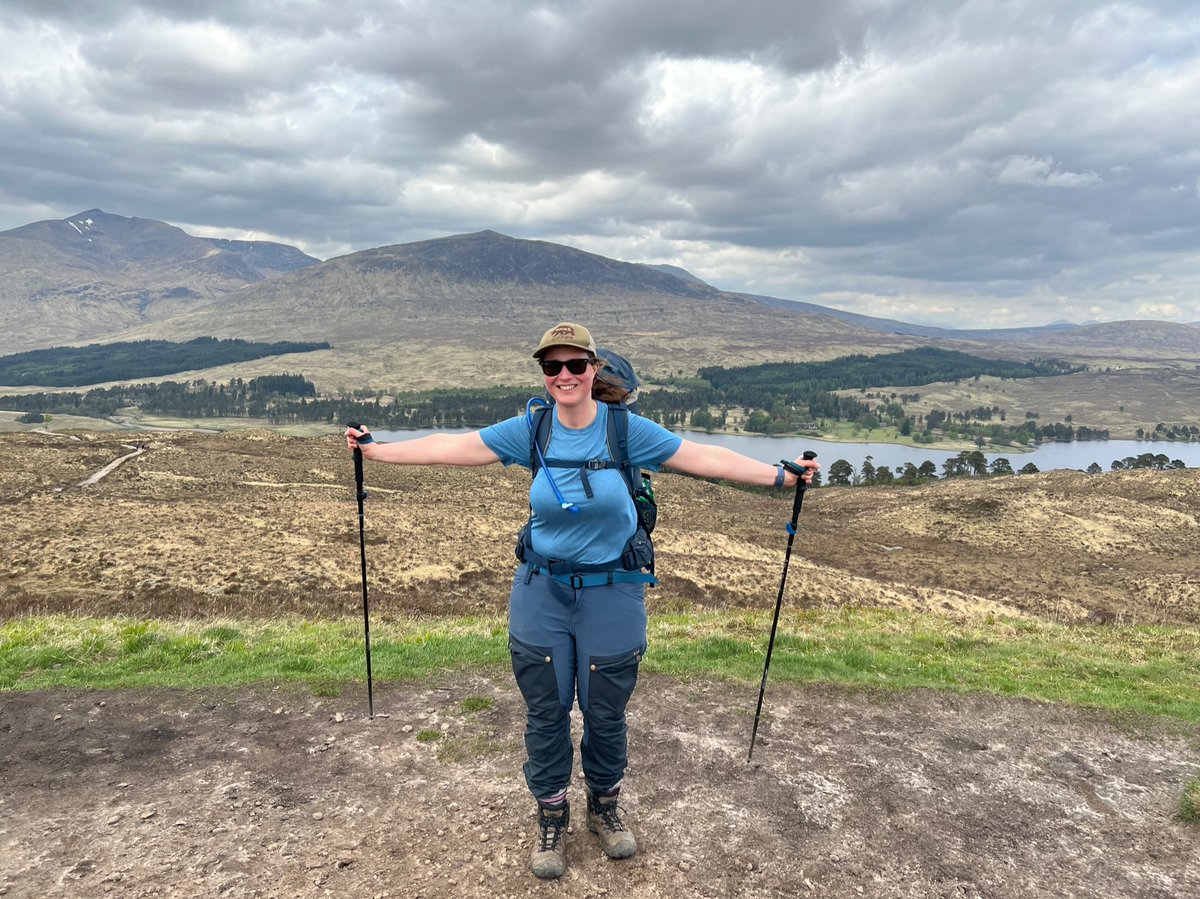
We made our way down the other side towards the head of Loch Tulla - as you can see I was very happy because I could see the Inveroran Hotel not too far away. 

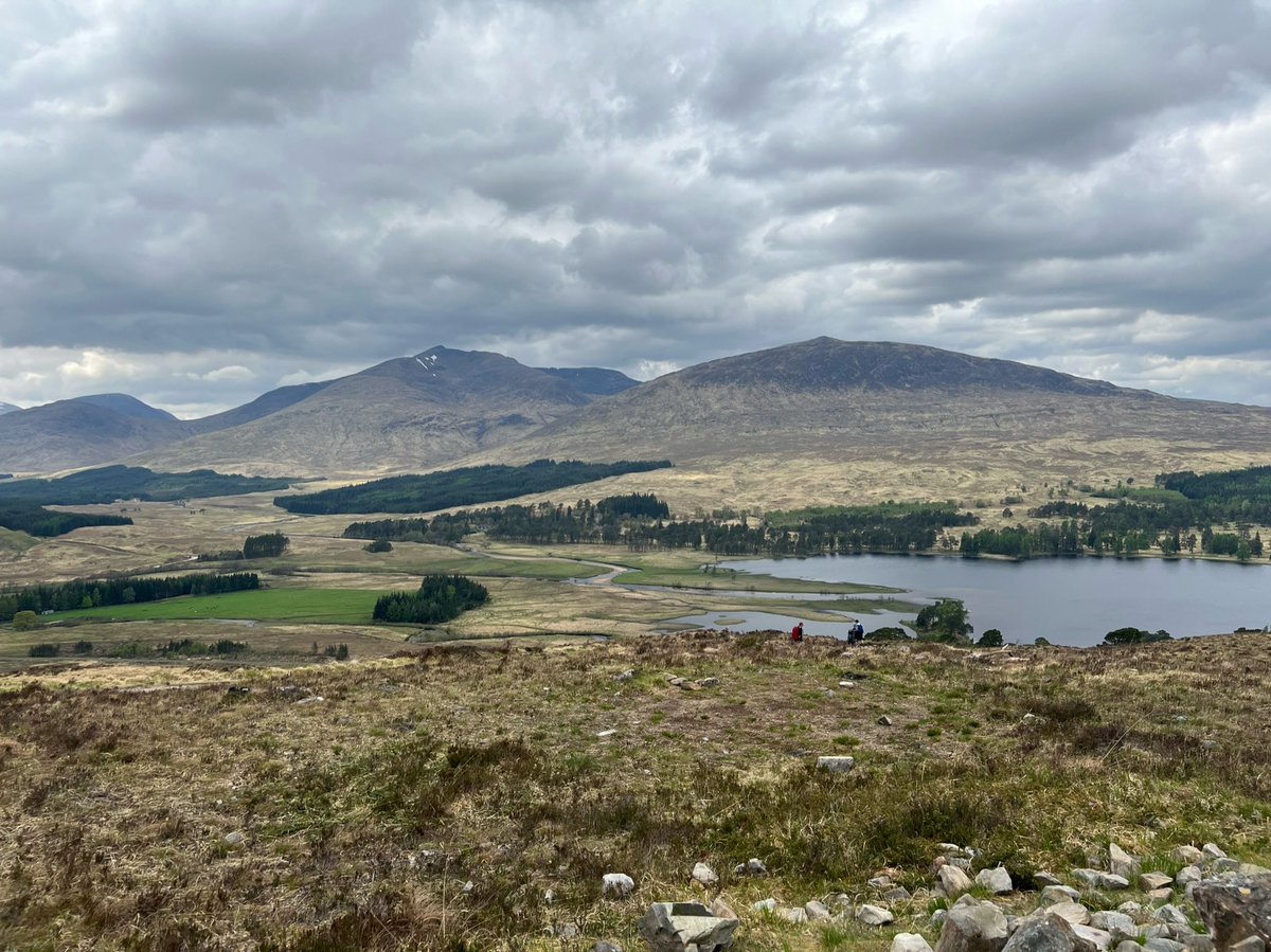
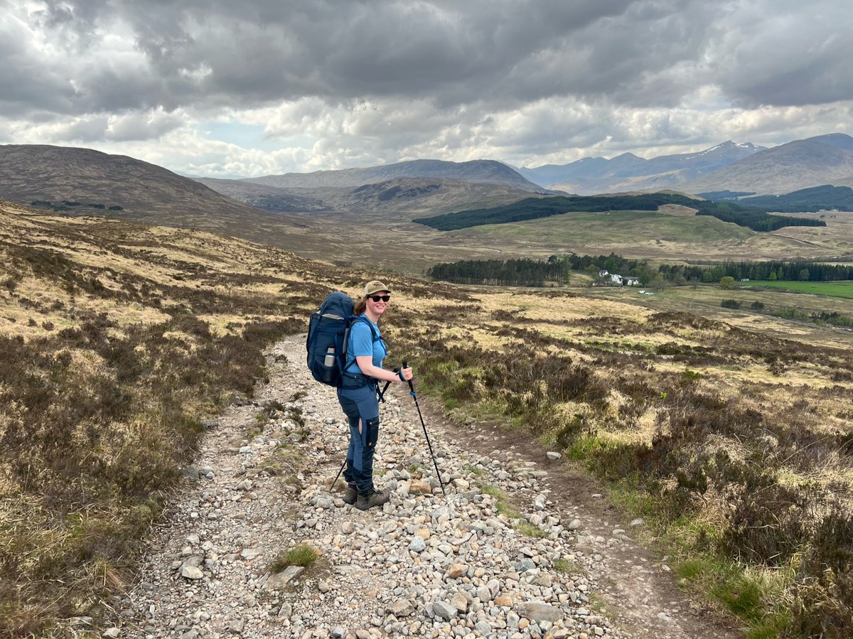
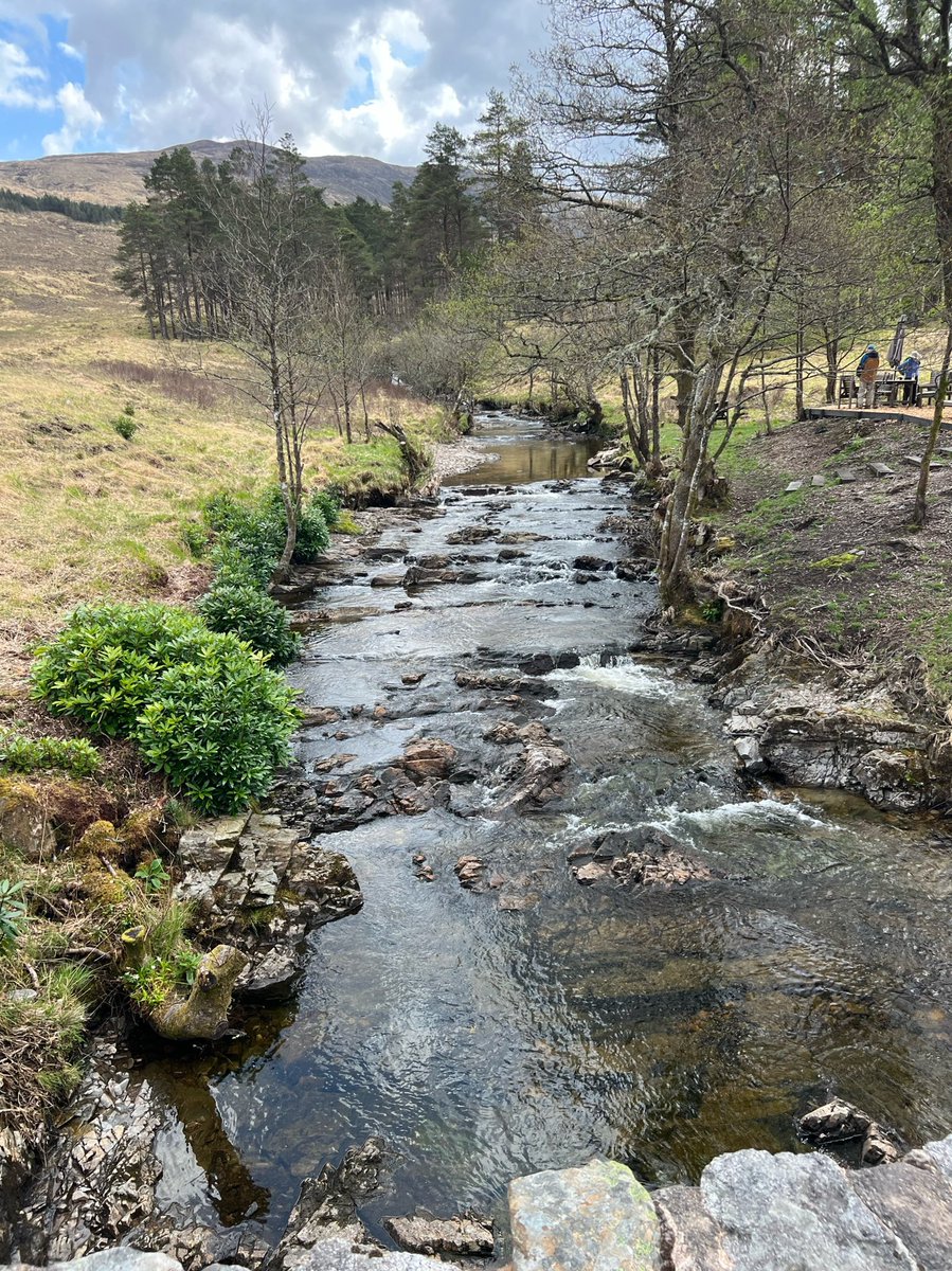
We crossed a stone bridge over the Allt Orain to reach the hotel - a 19th century drovers inn. It’s situated on the 90,000 acre Black Mount Estate which is owned by the Fleming family - of 007 fame. 


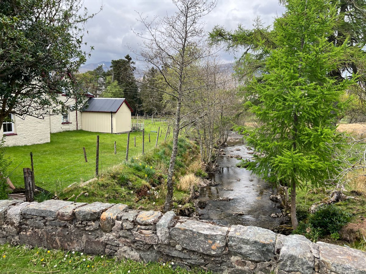

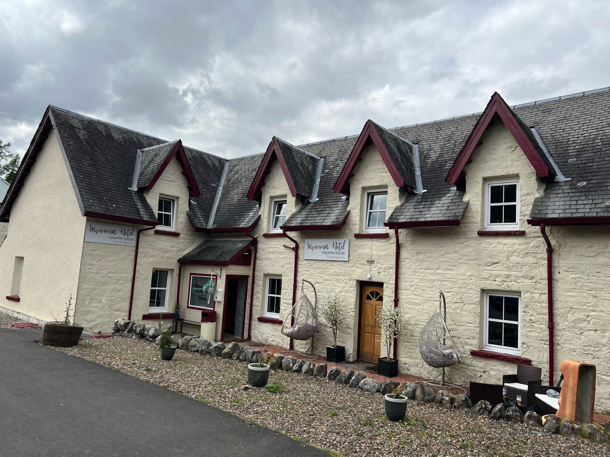
Now we had to make the decision whether to camp here at Inveroran as we’d originally planned. Or set off over Rannoch Moor - aiming for Glencoe Mountain Resort. Every weather forecast we checked was increasingly abysmal for the next day. Maybe this deer would tell us what to do. 
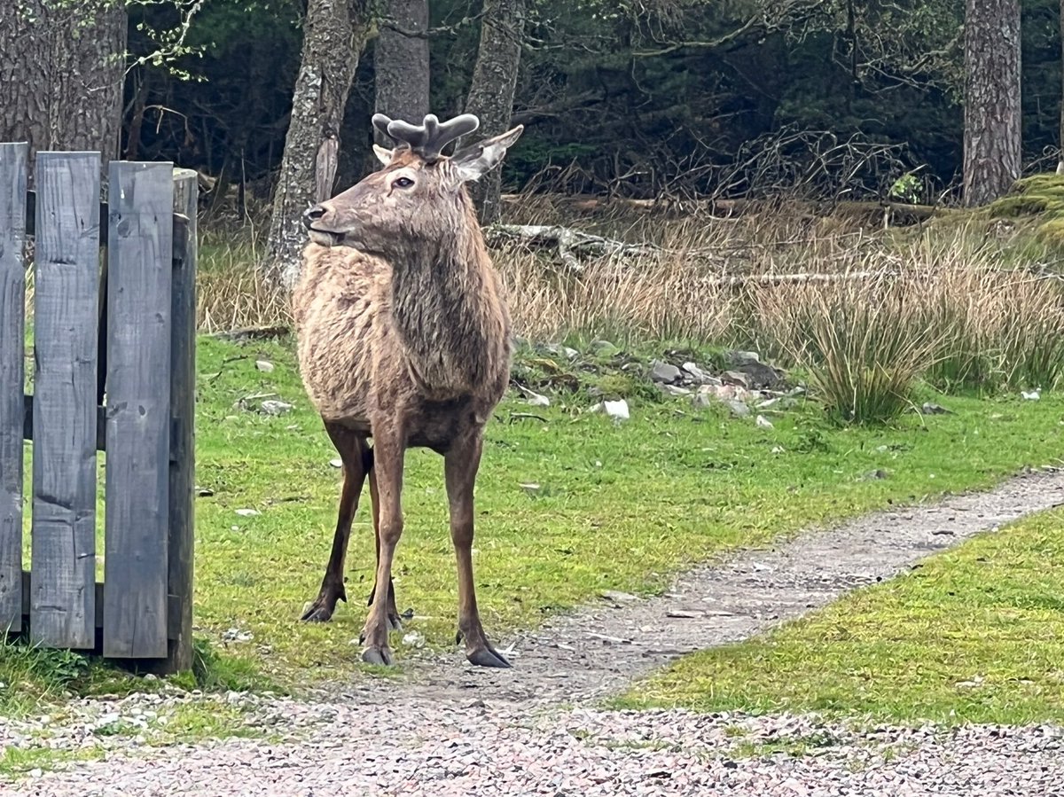
The deer said that as Rannoch Moor was the section we’d most been looking forward to, it was only 3pm, going to be a beautiful evening, we didn’t seem too tired, and had plenty of supplies - he thought we should just go for it! He seemed wise so we agreed and bid him farewell. 
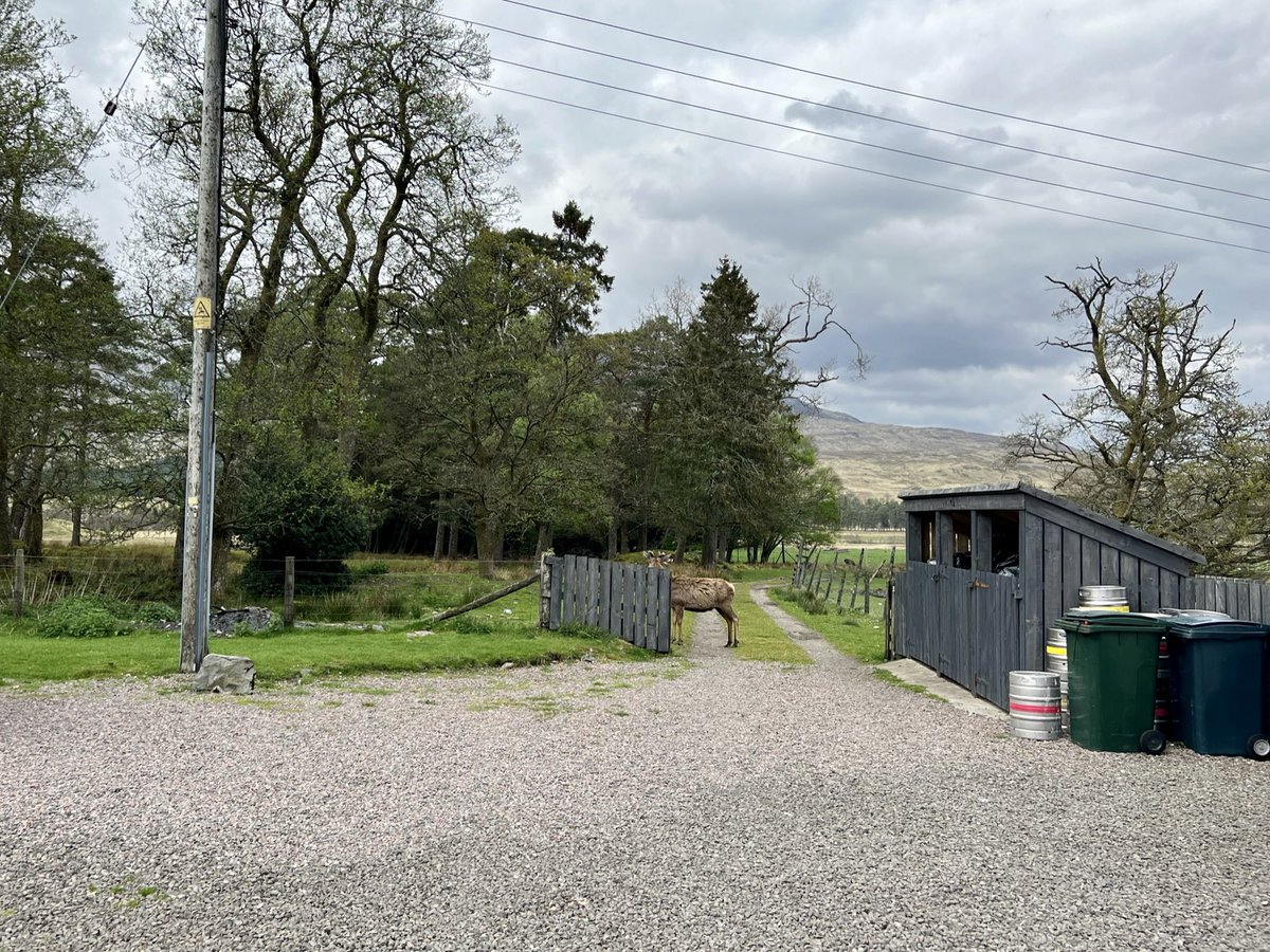
We filled up our flasks at the drinking water tap outside, poked our heads into the walkers’ bar which looked very cosy and inviting - next time! And set off on our way. 

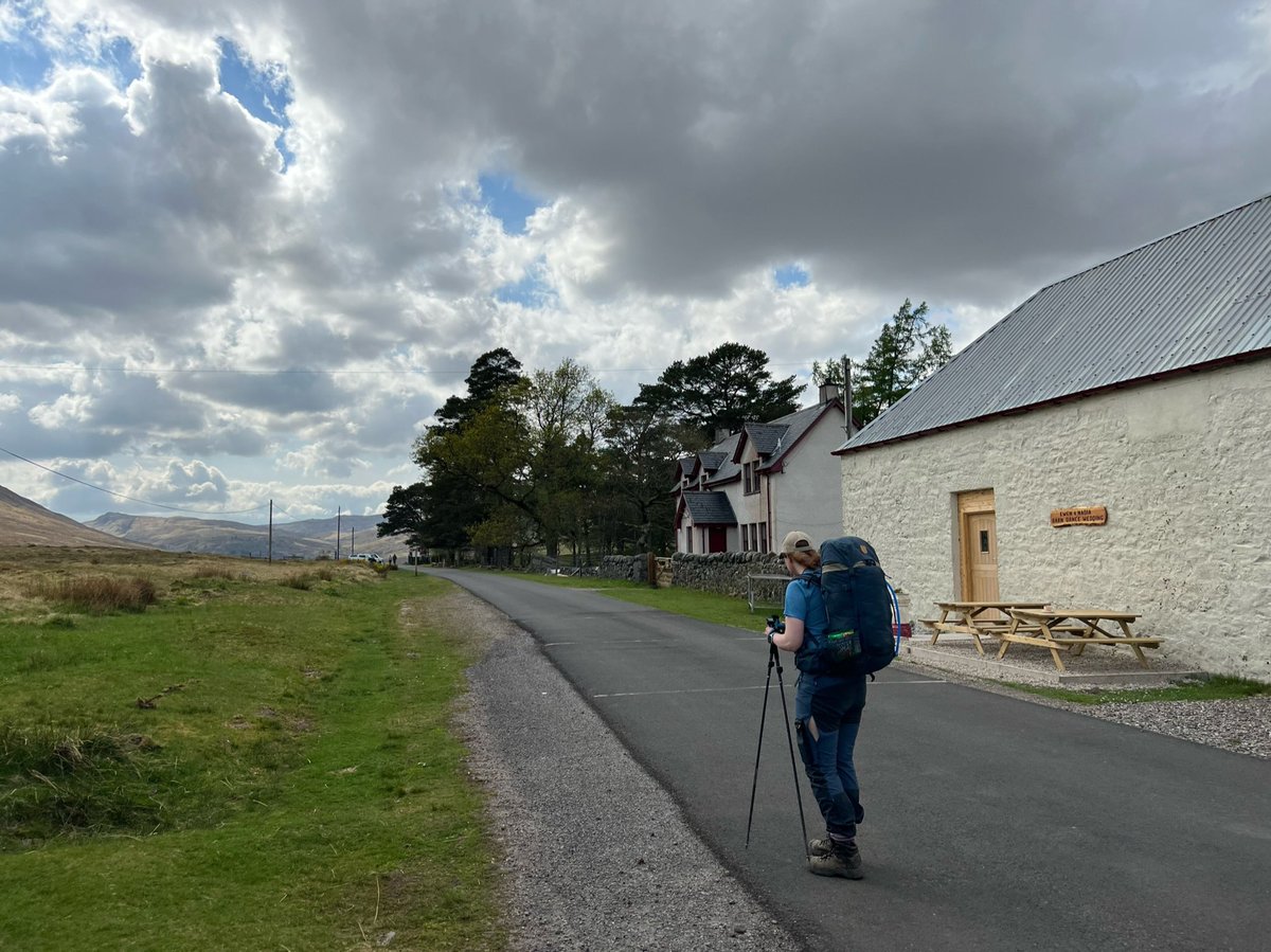
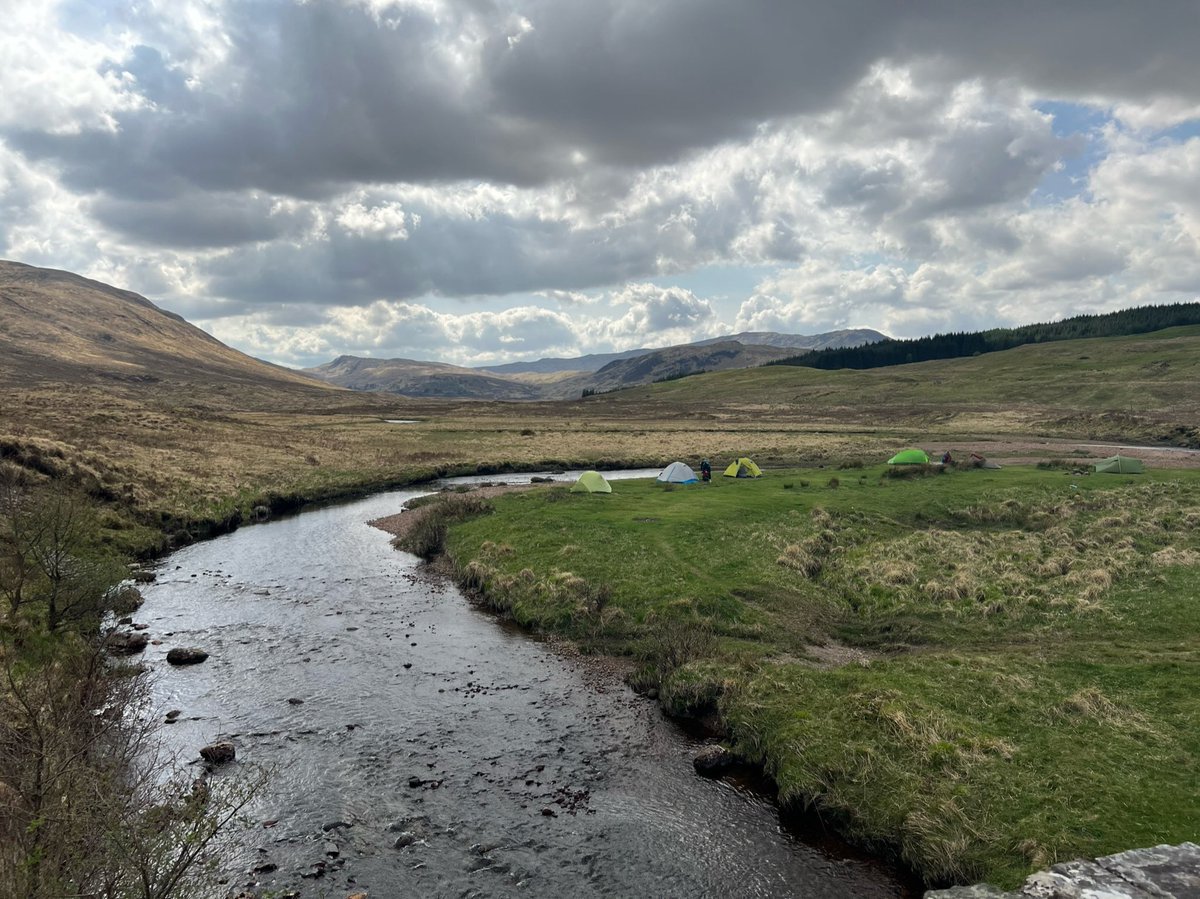
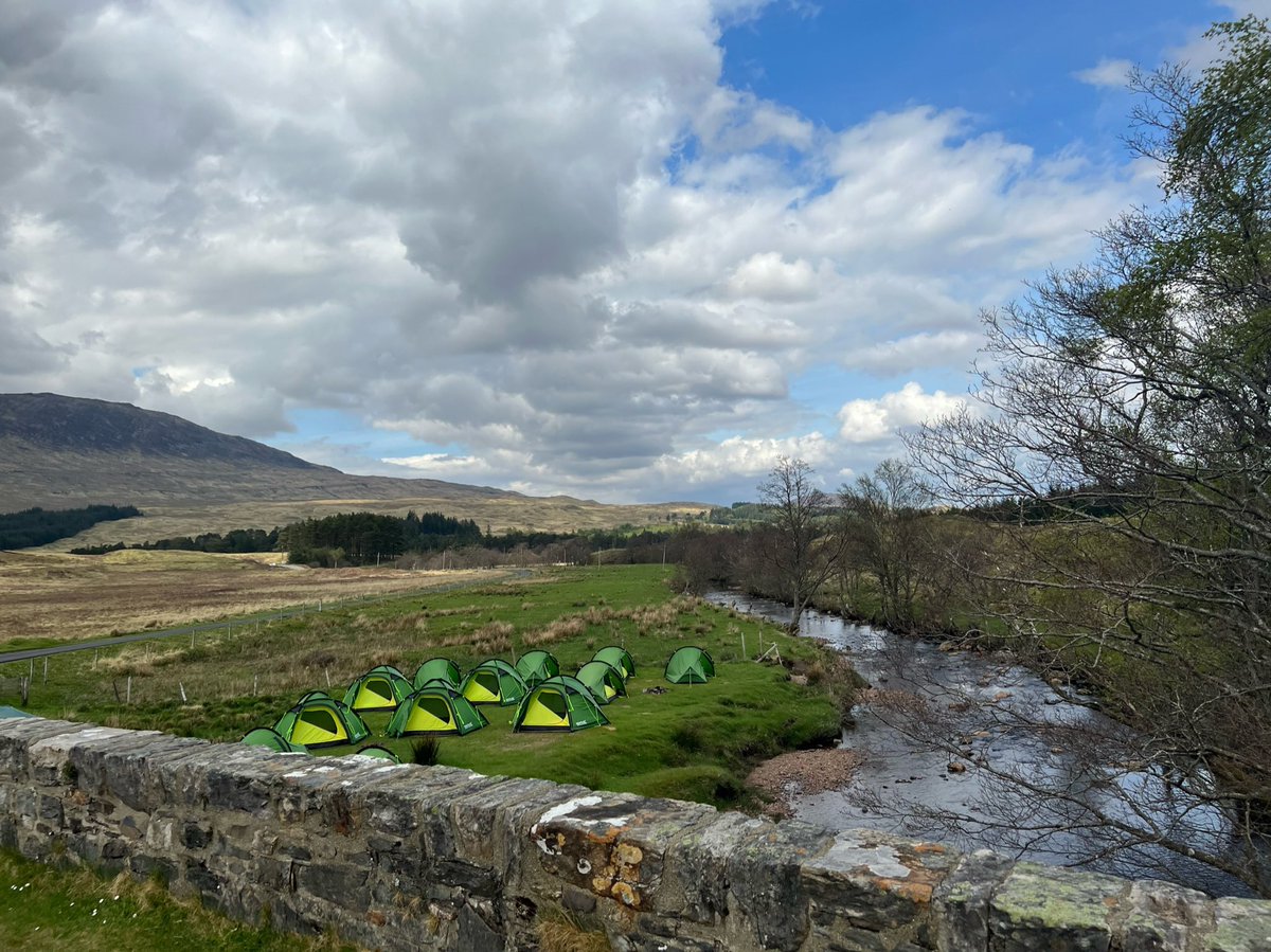
A short distance up the road from the hotel we saw some of our trail pals who had pitched up by the Allt Tolaghan. On the other side of the bridge it looked as though an organised camp had been set up, with a herd of matching green tents clustered on the grassy banks. 

They asked why we weren’t camping there and we said that with heavy rain and high winds forecast from early morning, we’d rather get across Rannoch Moor now as it’s so exposed. They said that with achy legs & sore feet they’d rather take their chances tomorrow. So we parted ways. 
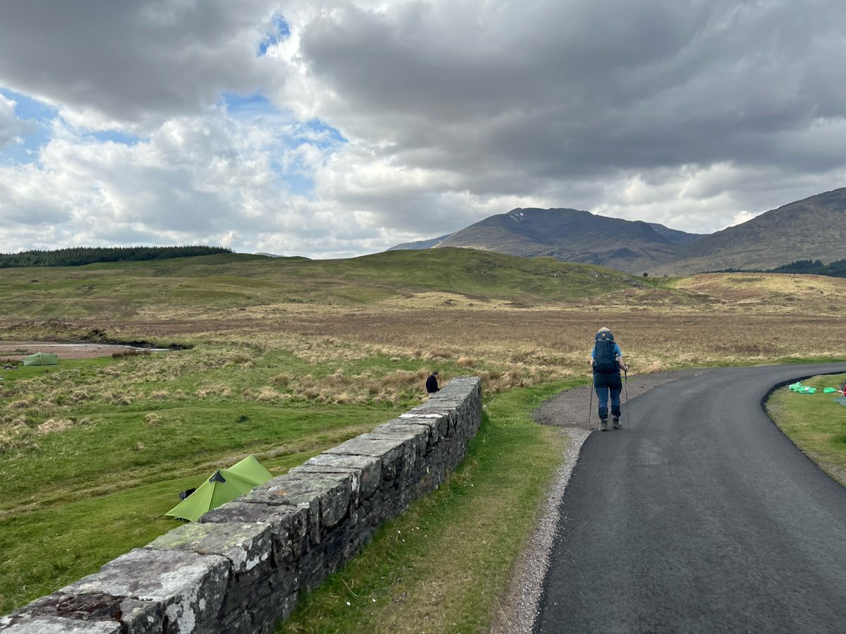
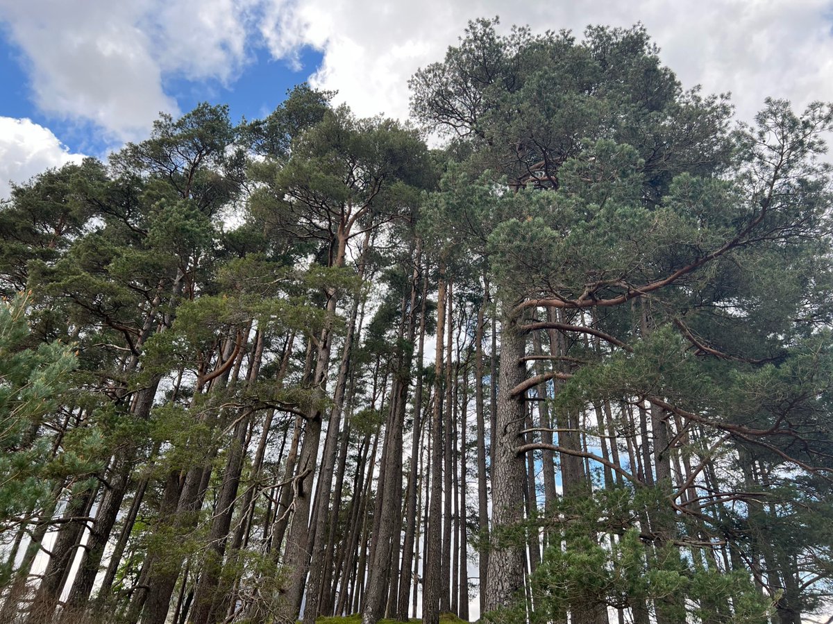
We carried on towards the end of the public road, past some magnificent Scots pines. There’s a car park on the left just before the pines that’s used by people doing the Black Mount Munros. Some more we’d like to come back and do. So many Munros, so little time! 


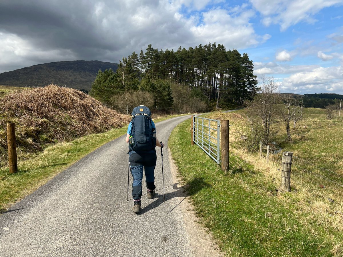

Straight after the bridge is Forest Lodge. I can’t find any info about its history, does anyone know?
If you zoom in on the first photo you can see a sign saying “public footpath to Loch Etive by Glen Kinglass” which sound like an epic walk!

If you zoom in on the first photo you can see a sign saying “public footpath to Loch Etive by Glen Kinglass” which sound like an epic walk!

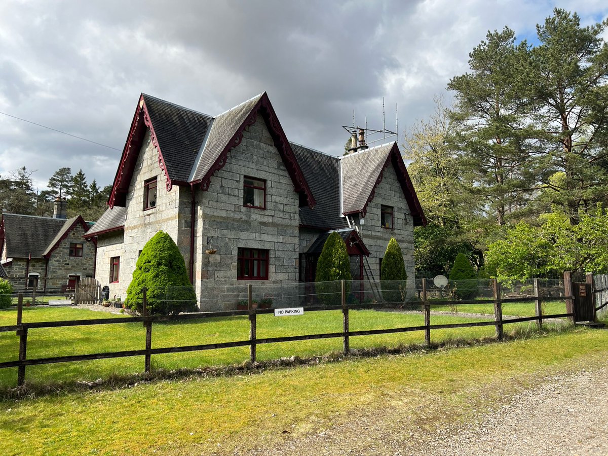
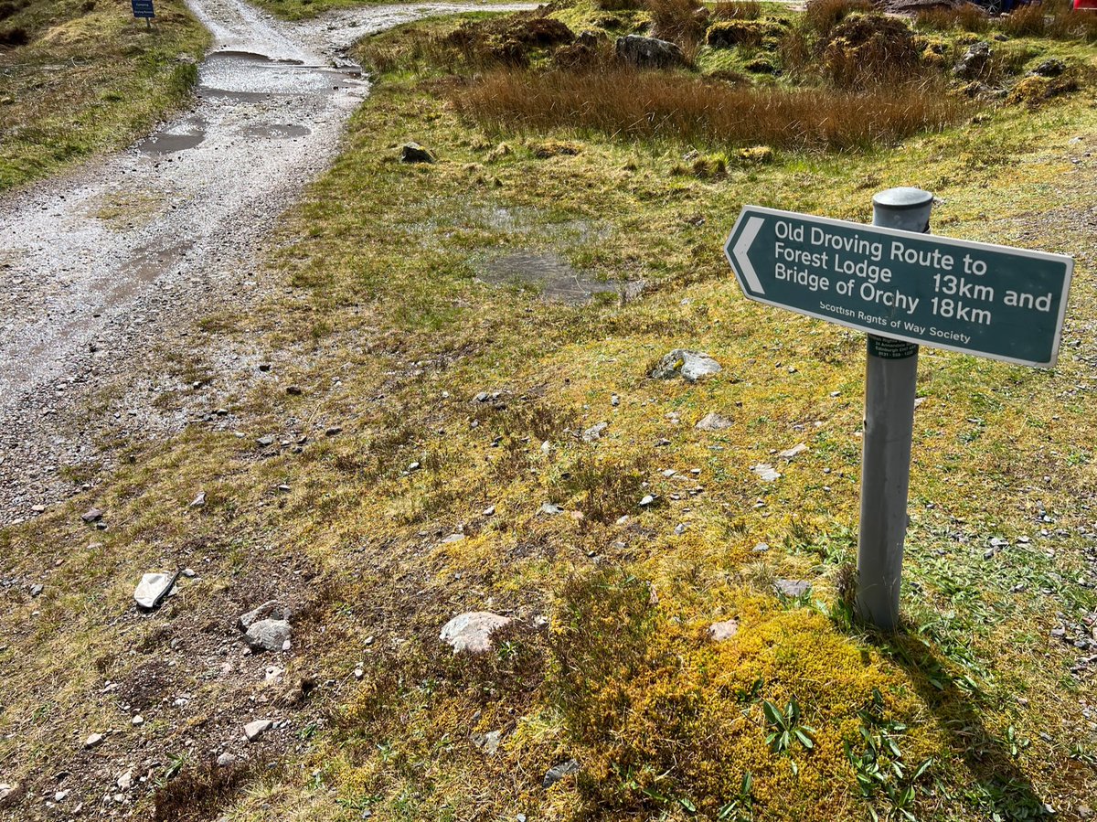
Next to Forest Lodge we came to the end of the public road, and the start of both the 19th century Old Glencoe Road (now used by the West Highland Way) and the older Black Mount Military Road (which is not maintained and harder to find). 

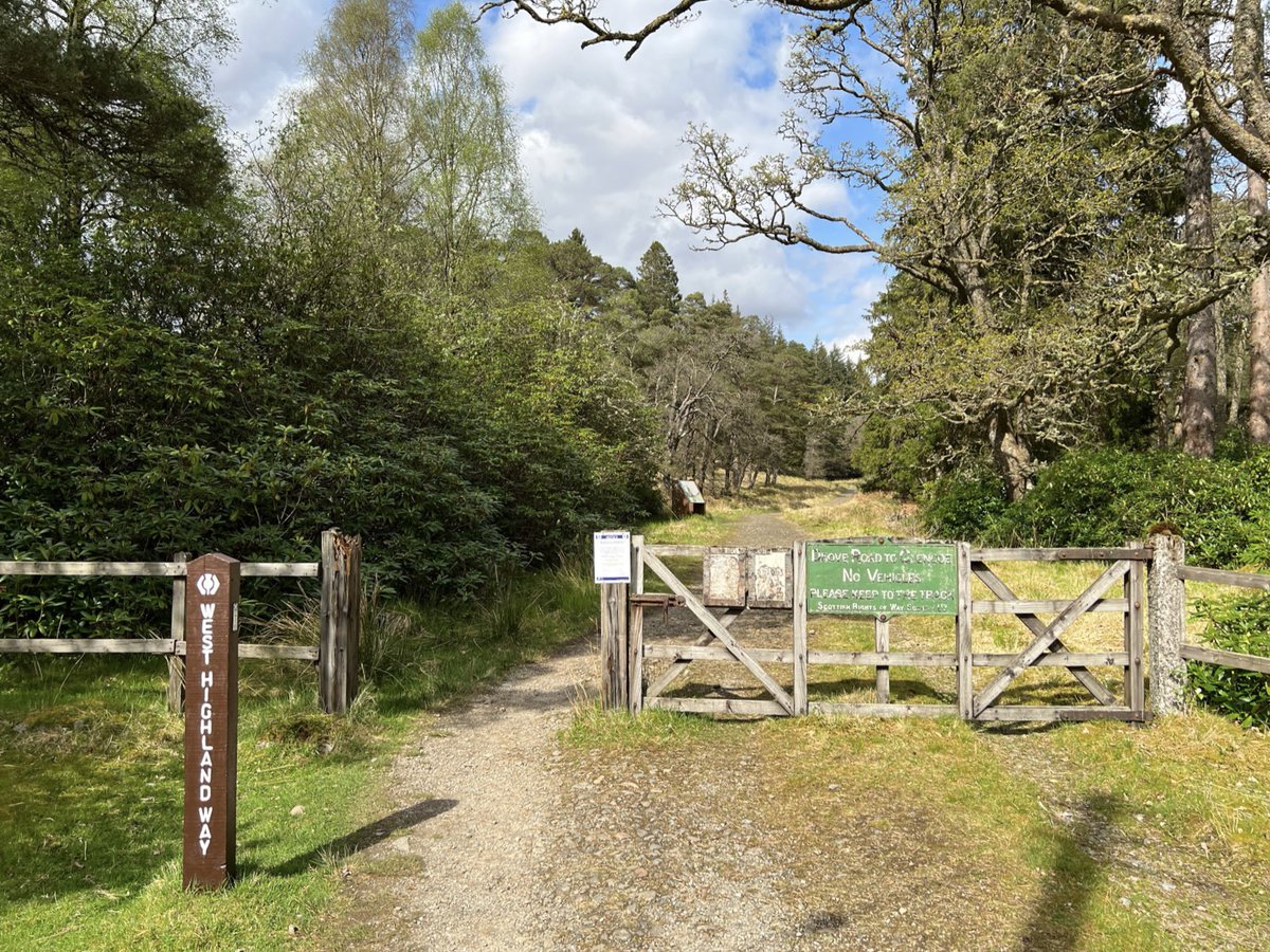
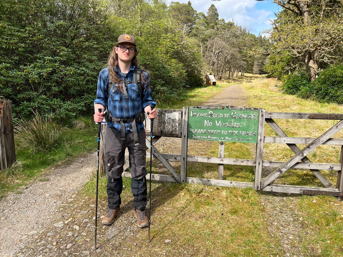
It’s marked by an old rights of way sign and a @official_whw marker. @ScotWays kindly shared this fascinating post about the sign.
https://twitter.com/ScotWays/status/1525820255687278592
The Old Glencoe Road/WHW is one of Thomas Telford’s “Parliamentary Roads” and after the gate we saw this info board about it. It was replaced by the modern A82 in the 1930s. 
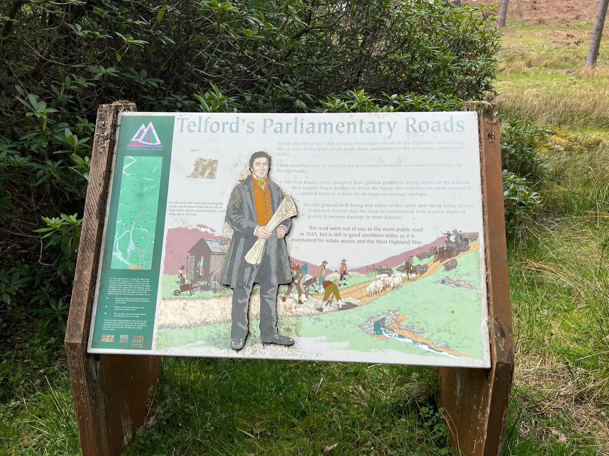
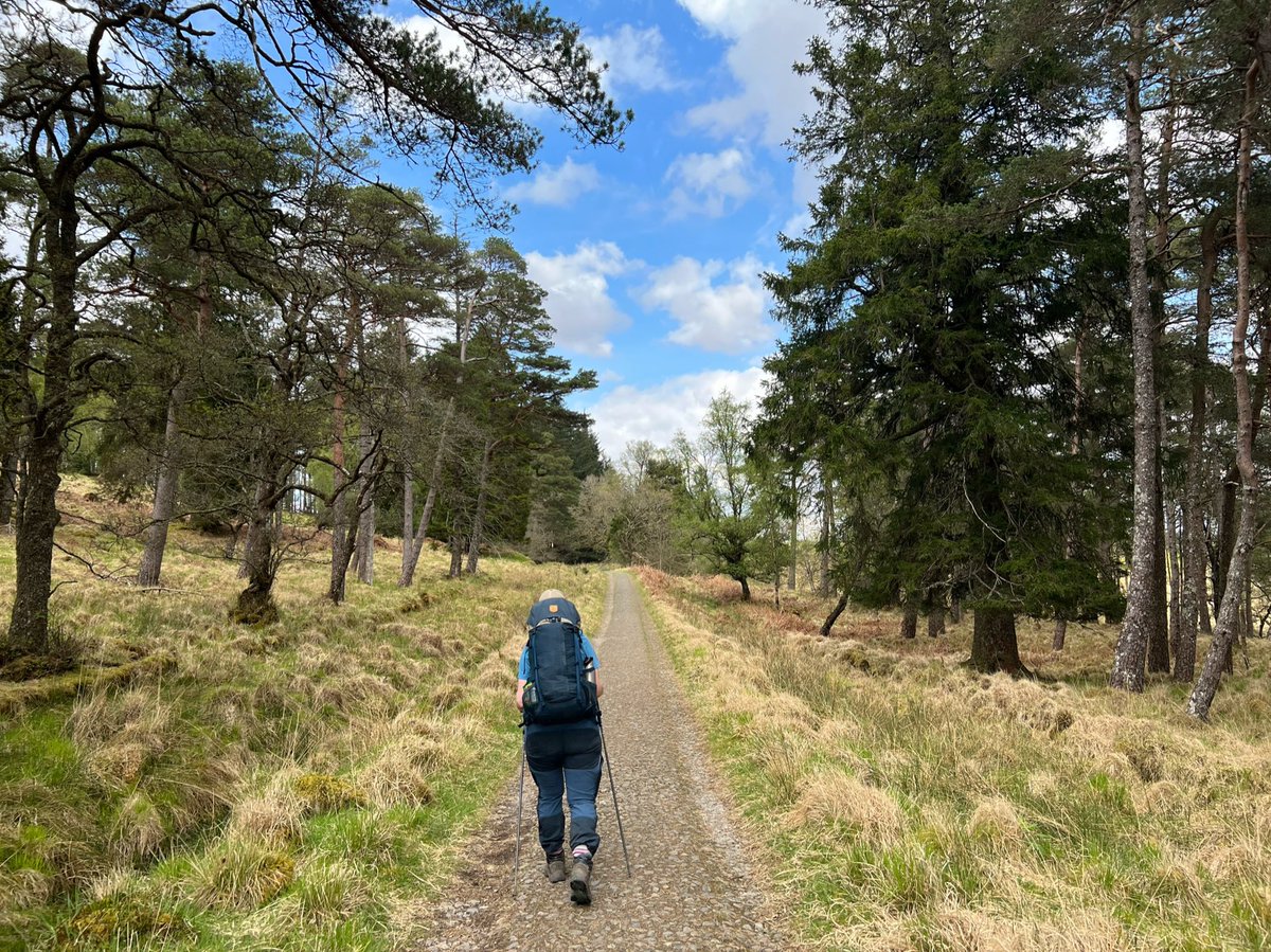
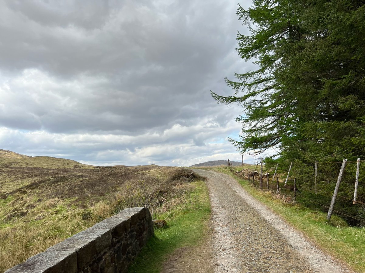
As we were following the West Highland Way we went straight ahead on Telford’s Old Glencoe Road. Having experienced the bogs of Rannoch Moor in the past we couldn’t believe how good the surface of the road was. At first it ascends gently through trees, including Scots Pines. 
Above the trees the views started to open out and we could see back to Beinn Dòrain and Beinn an Dòthaidh. Two mountains that are definitely calling us! 
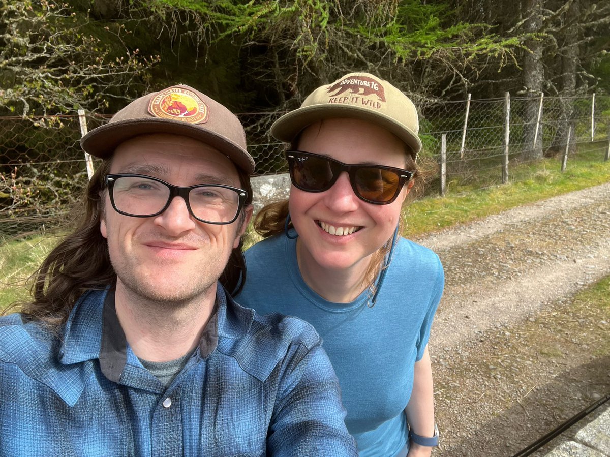
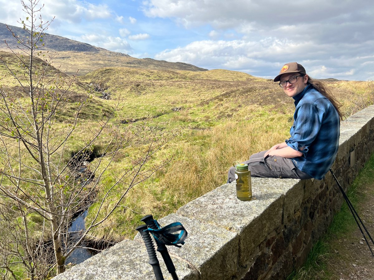
The first of many bridge-breaks at the top of an area of plantation. The old road crosses so many burns on its way across the moor. What an incredible feat of engineering! 


To our left here we could see one of the Black Mount Munros - Stob a'Choire Odhair. It’s normally done with its neighbour Stob Ghabhar. 
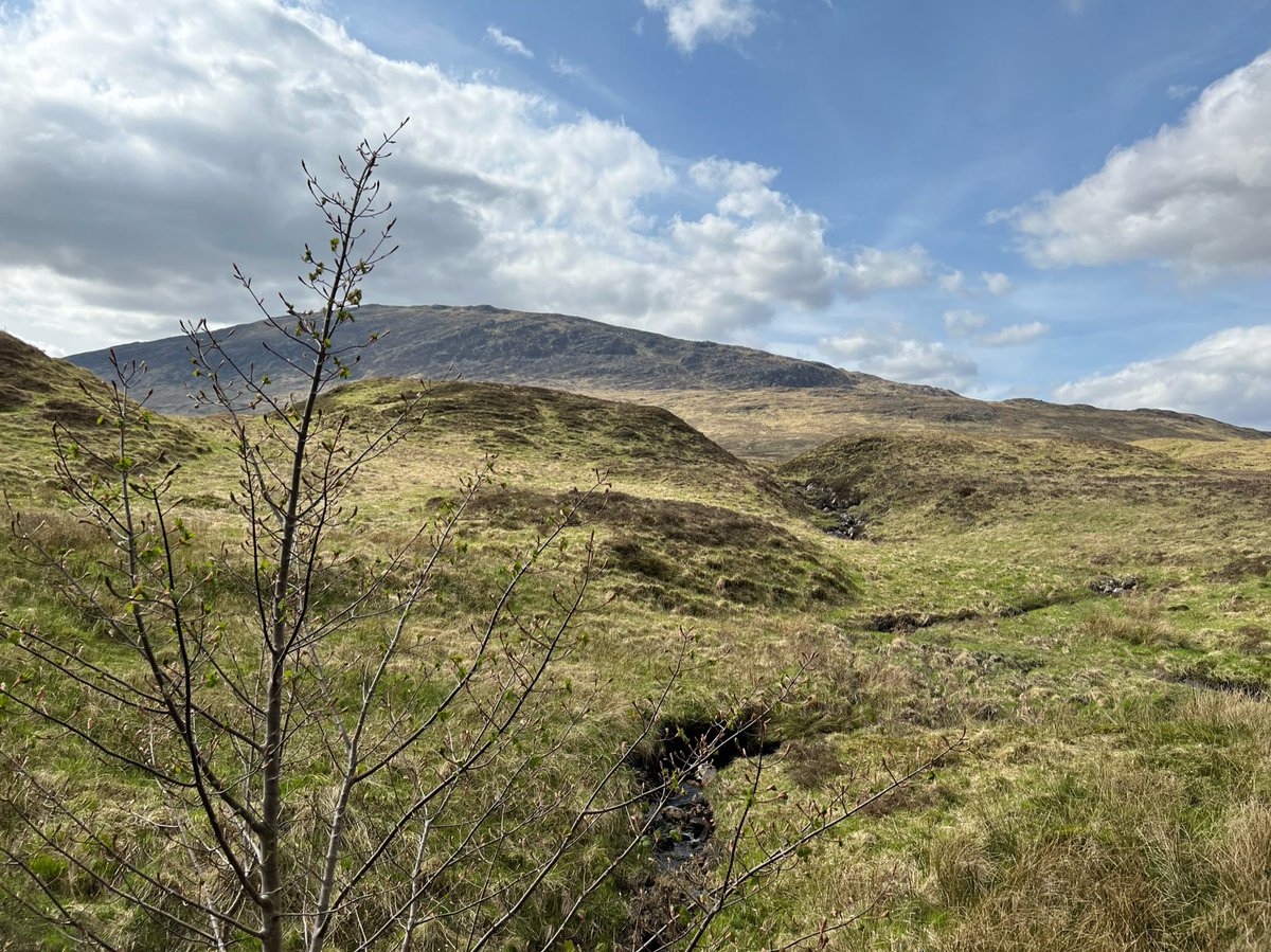
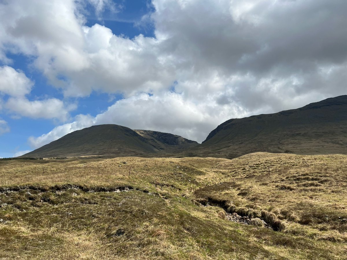
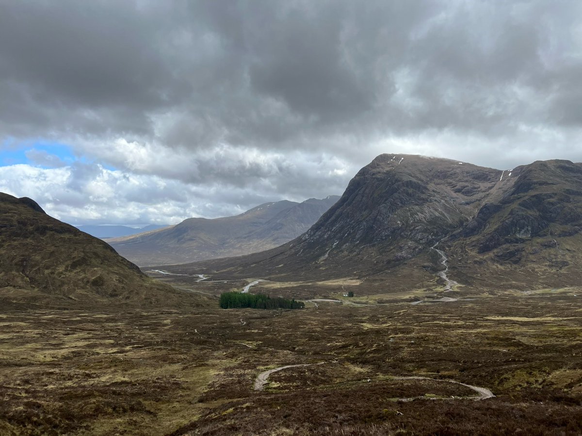
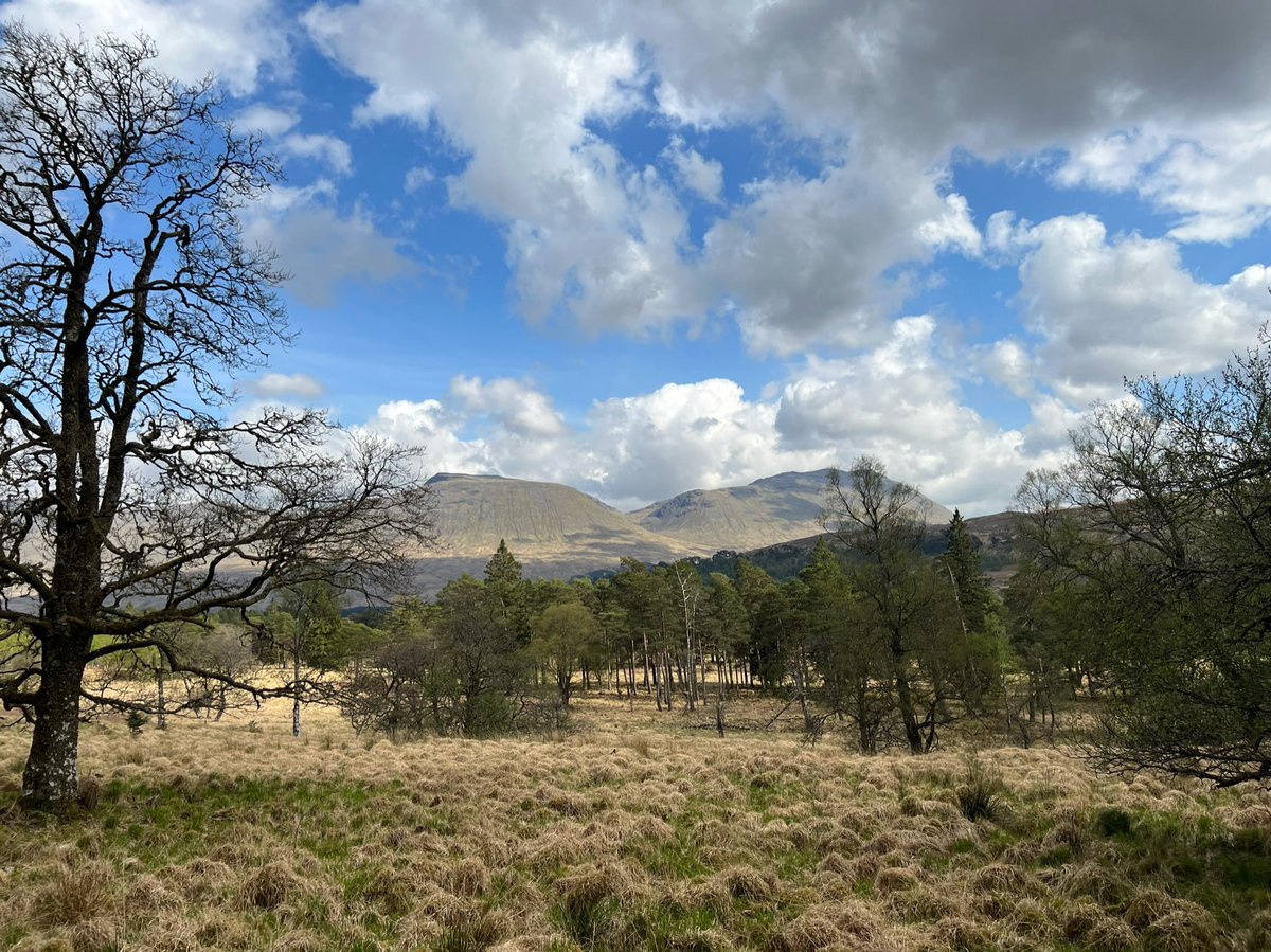
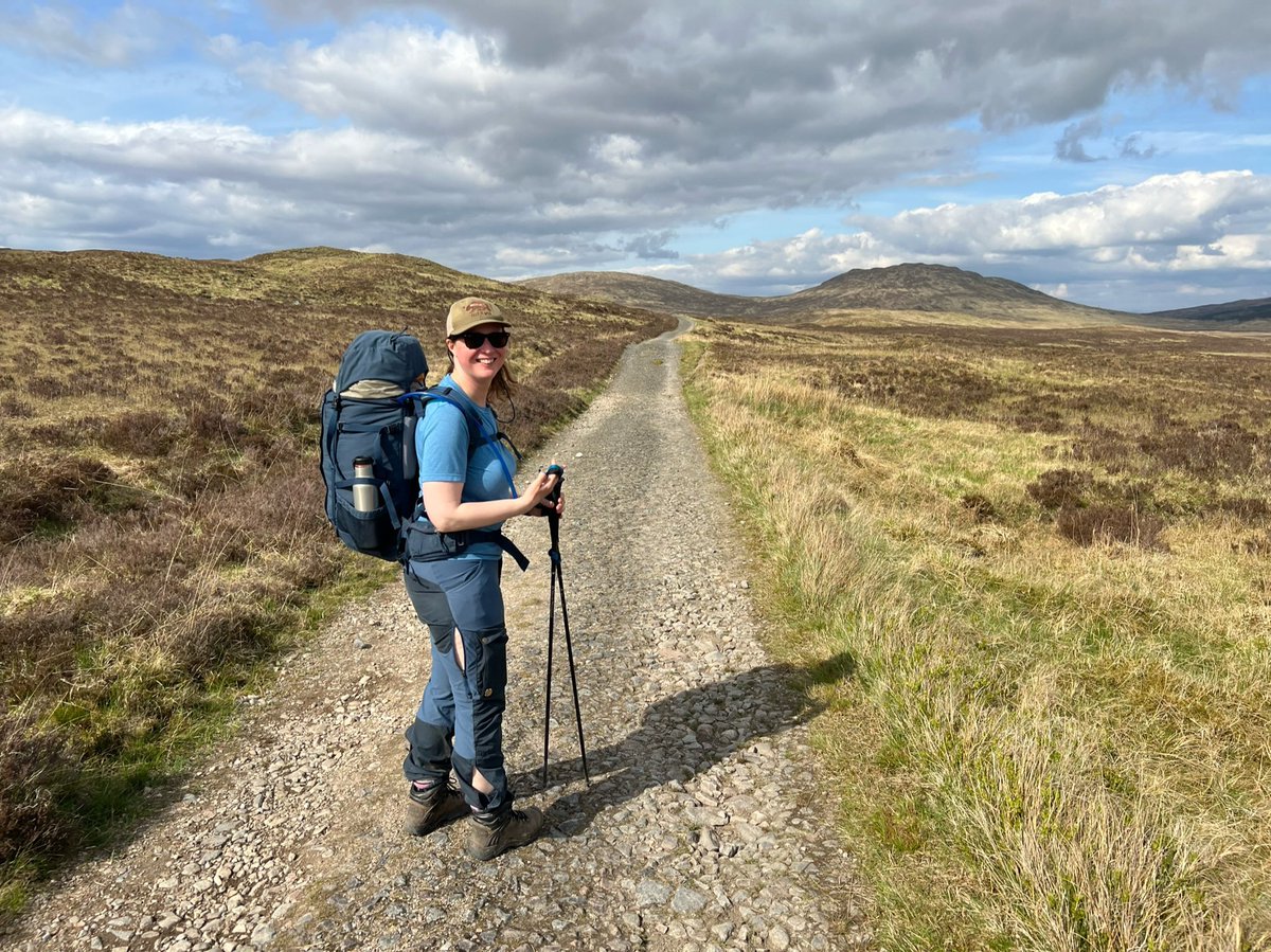
The path got much flatter after the pull up through the trees, and the landscape opened out with absolutely wonderful views in all directions! 
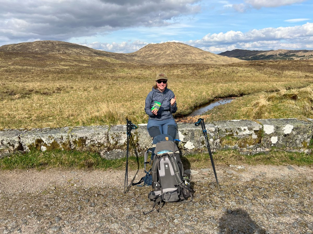
Another bridge meant time for a break and get out those Bobby’s Onion Rings I’d carried all the way from Brodie’s shop. They sure tasted good! 
We passed more plantations on either side, the path turned a corner and we looked back to see amazing views of the Beinn Dòrain range behind us. 


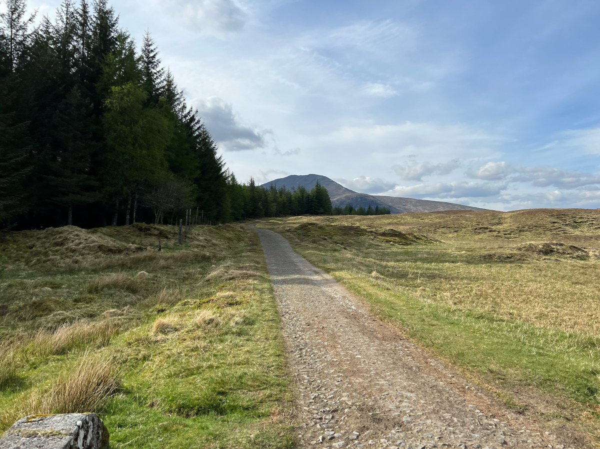
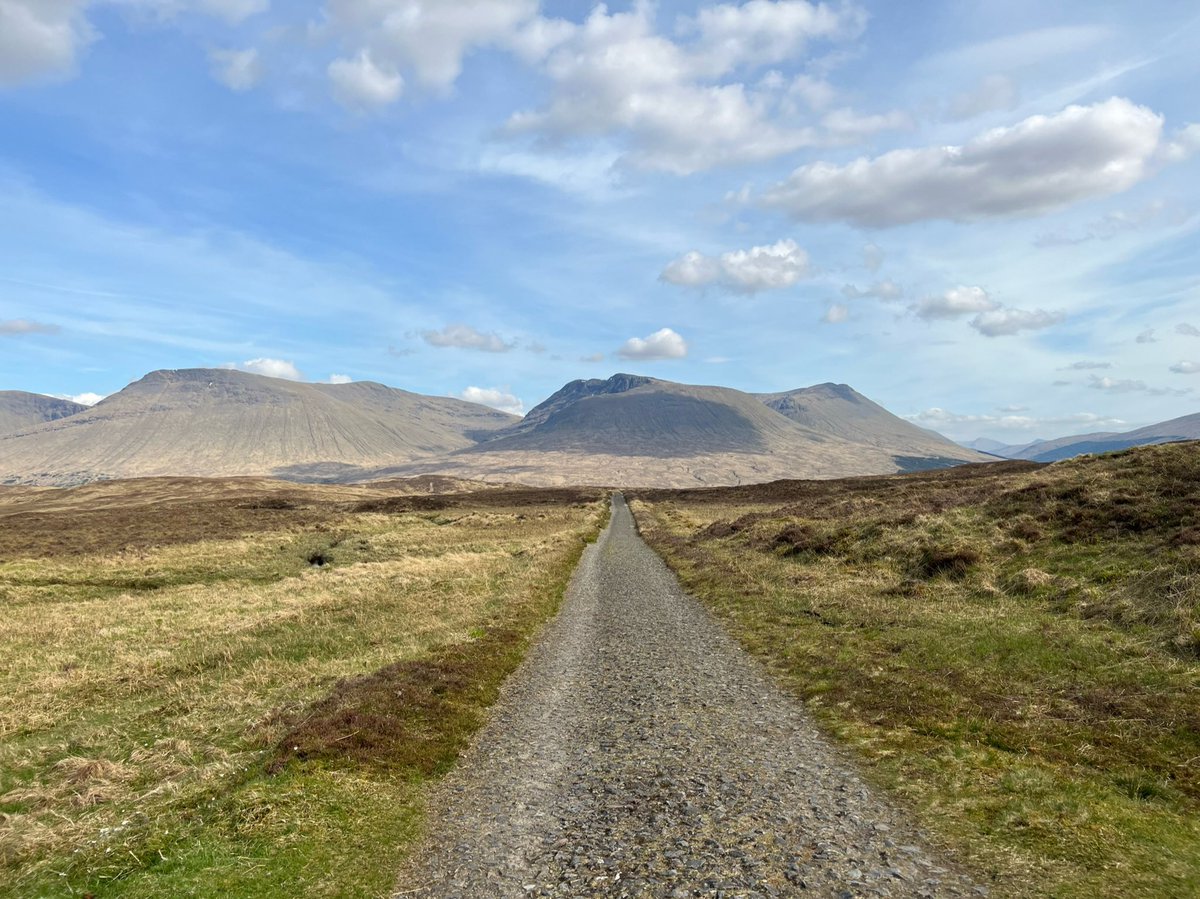
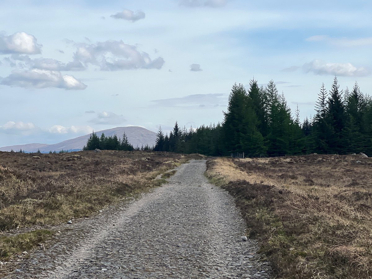
From beside the right hand plantation there are great views of Stob a'Choire Odhair - you can see the peak now. 
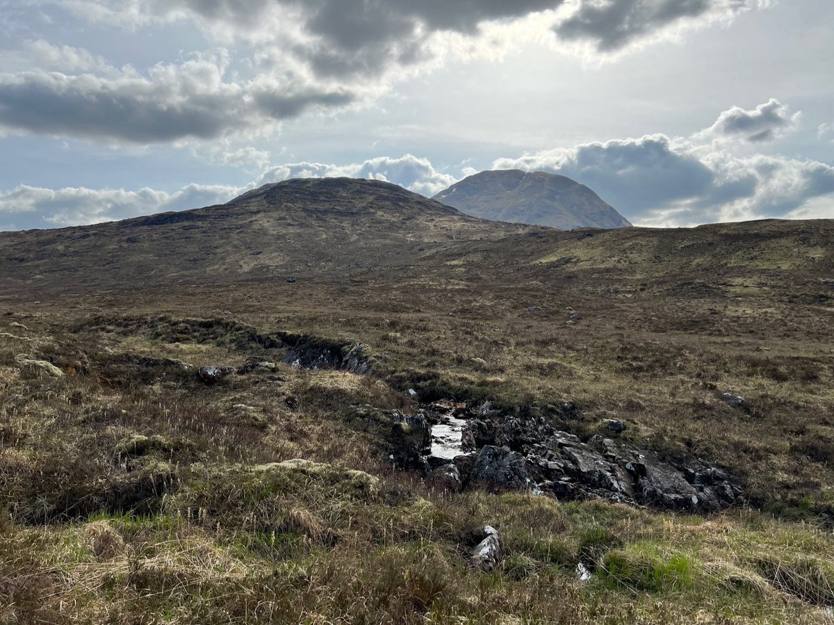
Lochan Mhic Pheadair Ruaidh right beside the path here. We saw someone camped up there in a sheltered spot between two mounds, and stopped for a chat. We mentioned the storm was due around 2-4am and she said she’ll just pack up early. She asked if we’d like to camp there too but 
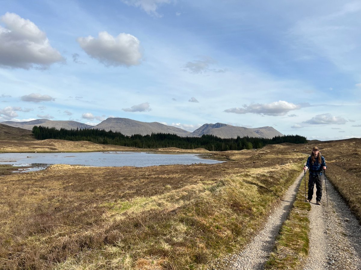
we said we’d rather continue on in the good weather. A man walking the opposite direction stopped to chat too. We only saw about five other people on that whole section but everyone stopped to say hi and check up on each other, there’s a great sense of camraderie on the trail. 
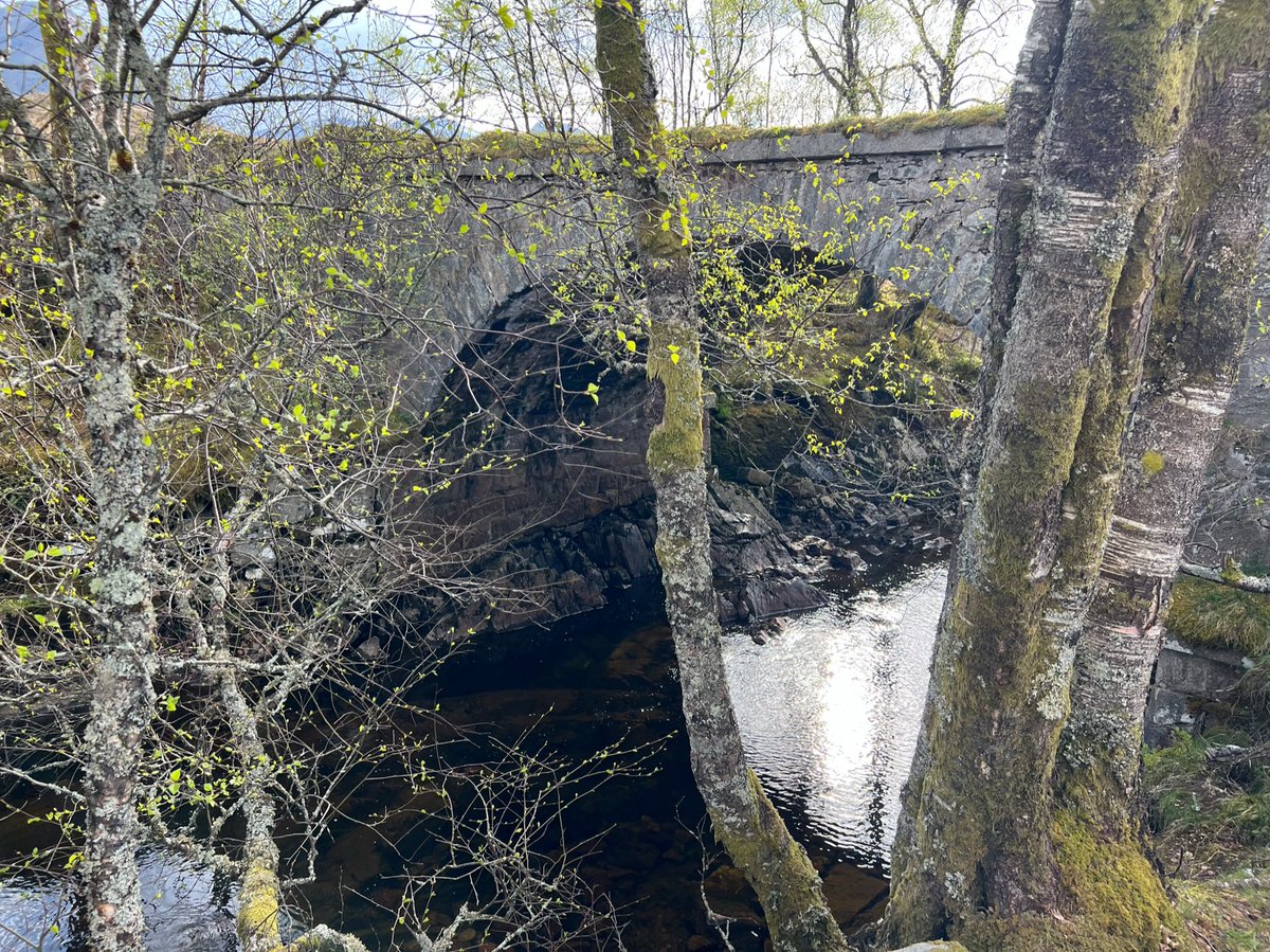
We could the mythical Ba Bridge ahead, surrounded by silver birches. We’d heard so much about this place from other hikers. One person had even described it as “an oasis”. 
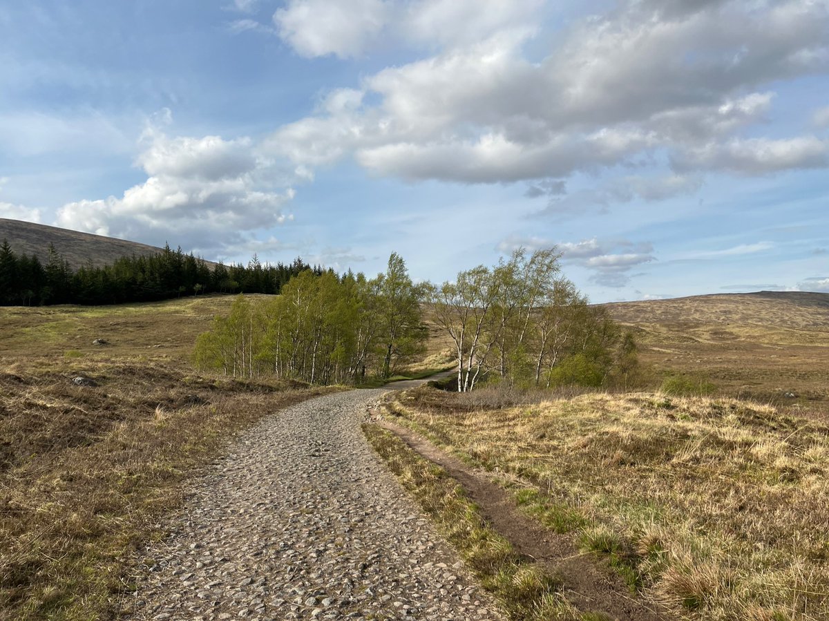
It was surprising to come across these native trees, as the only other trees near here had been in plantations. I guess they survive as the rocky ravine protects them from being eaten by deer. 

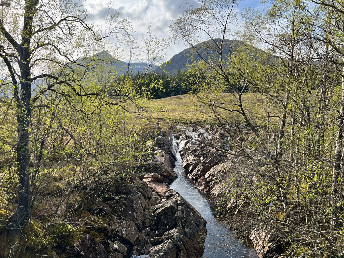
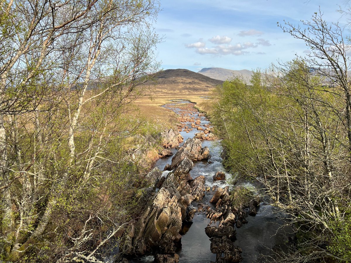
The bridge was built in the 1700s as part of Wade's military road.
When we thought we might be crossing here in the storm some people had said there’s a shelf under the bridge where you can shelter, but I didn’t like the idea of that if the water was rising!
When we thought we might be crossing here in the storm some people had said there’s a shelf under the bridge where you can shelter, but I didn’t like the idea of that if the water was rising!

NB I was just reading that because Telford’s Road here coincides with the old military road, no one is sure whether Ba Bridge was originally built by the army, or later by Telford’s commission. Either way certainly an impressive structure! 

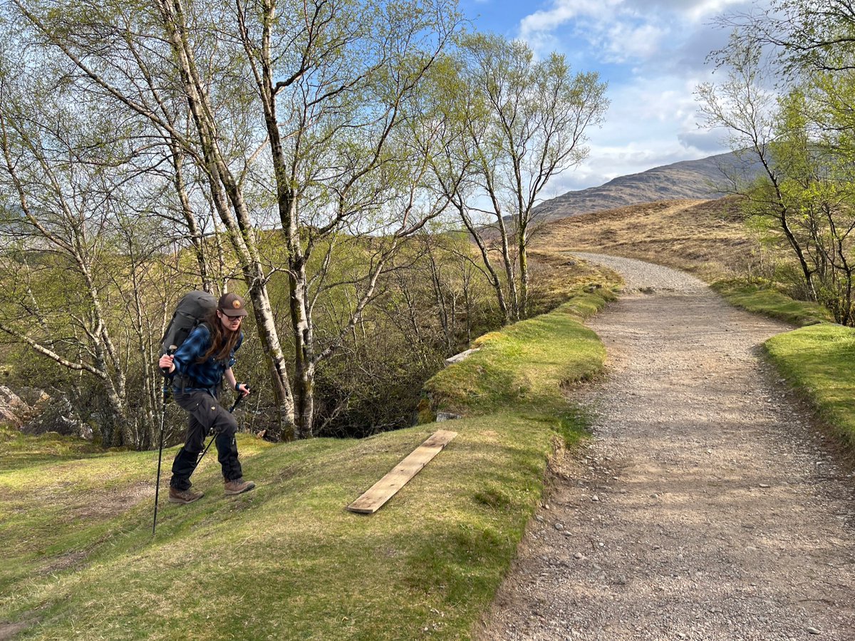
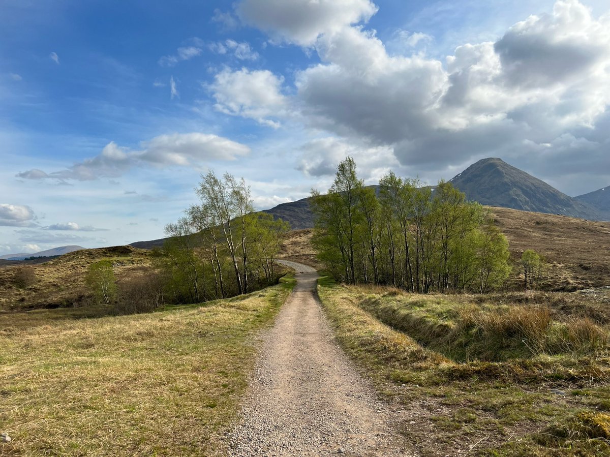
Straight after Ba Bridge the route starts to climb towards the highest point of the moorland crossing. 

Looking back at Ba Bridge. Having passed it felt like an import point psychologically - that meant we were nearing our destination. Not that it was a chore walking on such a glorious evening! 
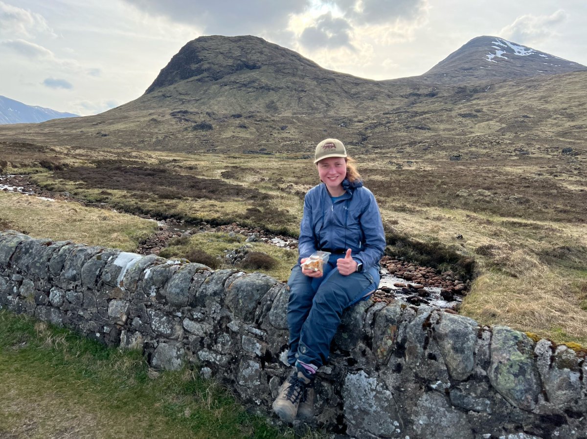
By the ruined cottage there was another bridge. Yes you guessed it, that means another snack stop! The time had come to get out my Green Welly Stop sandwich. I was very happy, as you can see. 
We were surrounded by mountains and the evening light was incredible. We hadn’t seen a soul since the Lochan, and we were floating along the path in a state of ecstasy. 
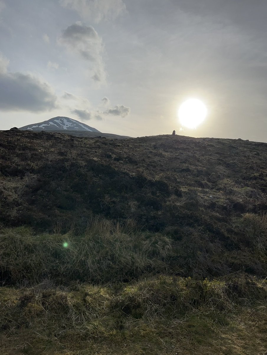
We spotted a cairn above us, which we later found out was the Fleming Cairn. It’s by the old military road, near the highest point on Rannoch Moor at Gualann Laith Ghiubhais. It was constructed in memory of Ian Fleming’s brother Peter. The Flemings are the land owners here. 
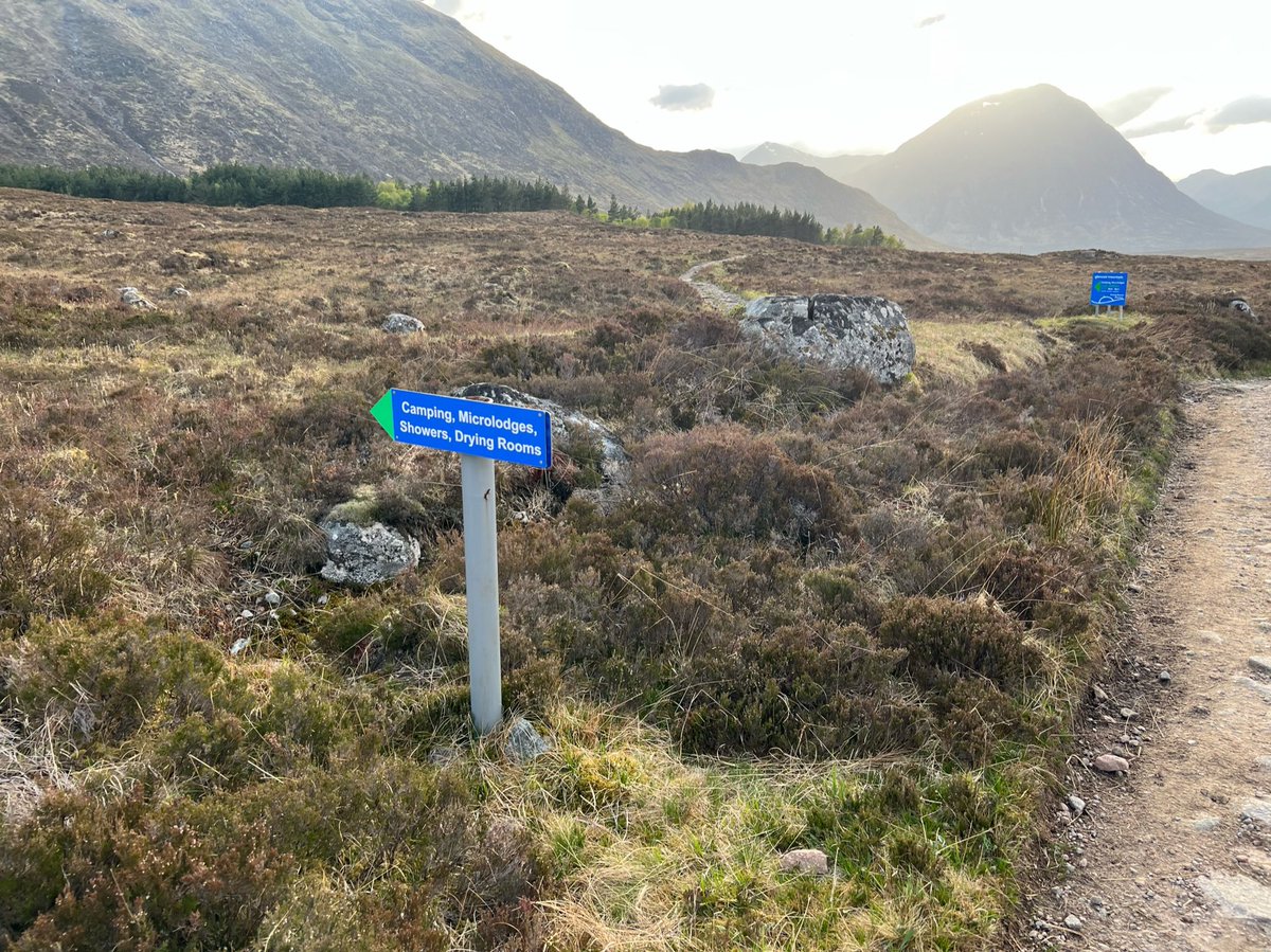
A sign pointed towards Glencoe Mountain Resort - the place recommended by Mike all the way back in Tyndrum that morning. As the storm was imminent it was appealing to camp somewhere with facilities. Plus it had a bar which closed at 8 - in 20min so we hot footed it up the path. 

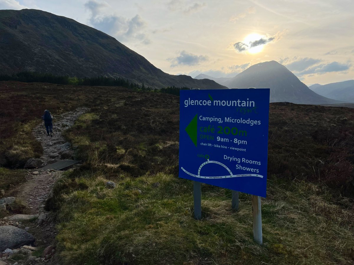
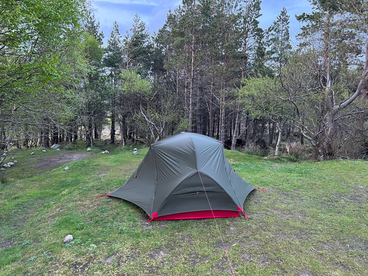
Then set up our tent in the camping area in the last light of the day. We spent a lot of time doing what @electricadam calls our “Geological survey” to decide where to put it, because the storm was coming in the wee hours. 


🥾 Day 6
Rest day at Glencoe Mountain Resort
The storm hit in the night with high winds and heavy rain, but we were so tired we slept through most of it. We awoke to find everyone panicking to pack up because the campsite had flooded except the wee bit of ground our tent was on.
Rest day at Glencoe Mountain Resort
The storm hit in the night with high winds and heavy rain, but we were so tired we slept through most of it. We awoke to find everyone panicking to pack up because the campsite had flooded except the wee bit of ground our tent was on.
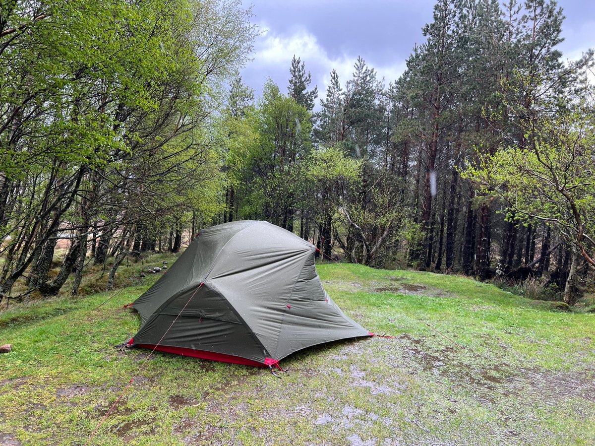
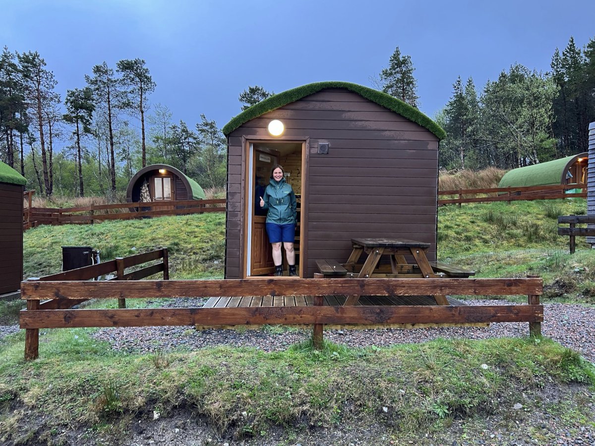
The next section was Kinlochleven via the Devil’s Staircase. Wind and rain was forecast all day and night, so it was no weather for the hills. We’d made up a day by doing 2 sections at once, so we decided to sit it out. With the campsite flooded the hobbit huts looked inviting… 
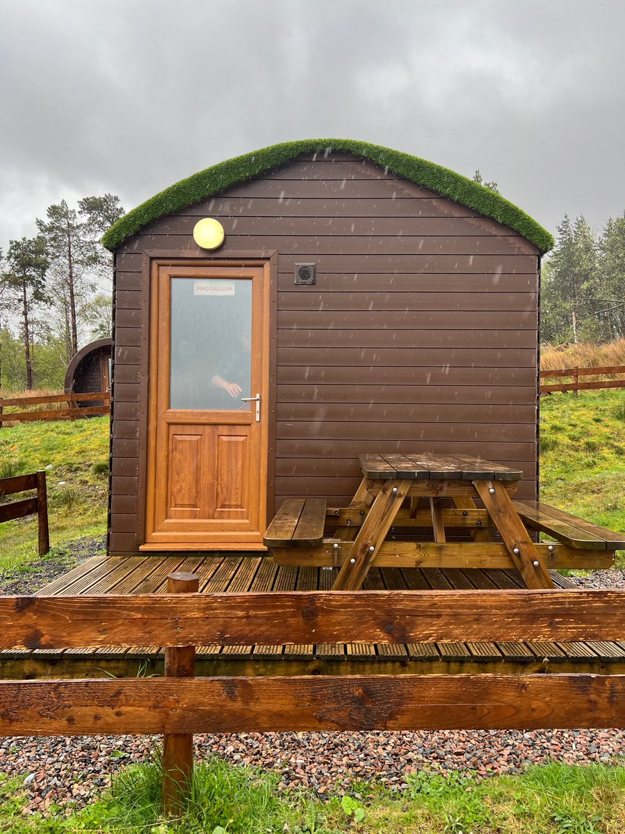
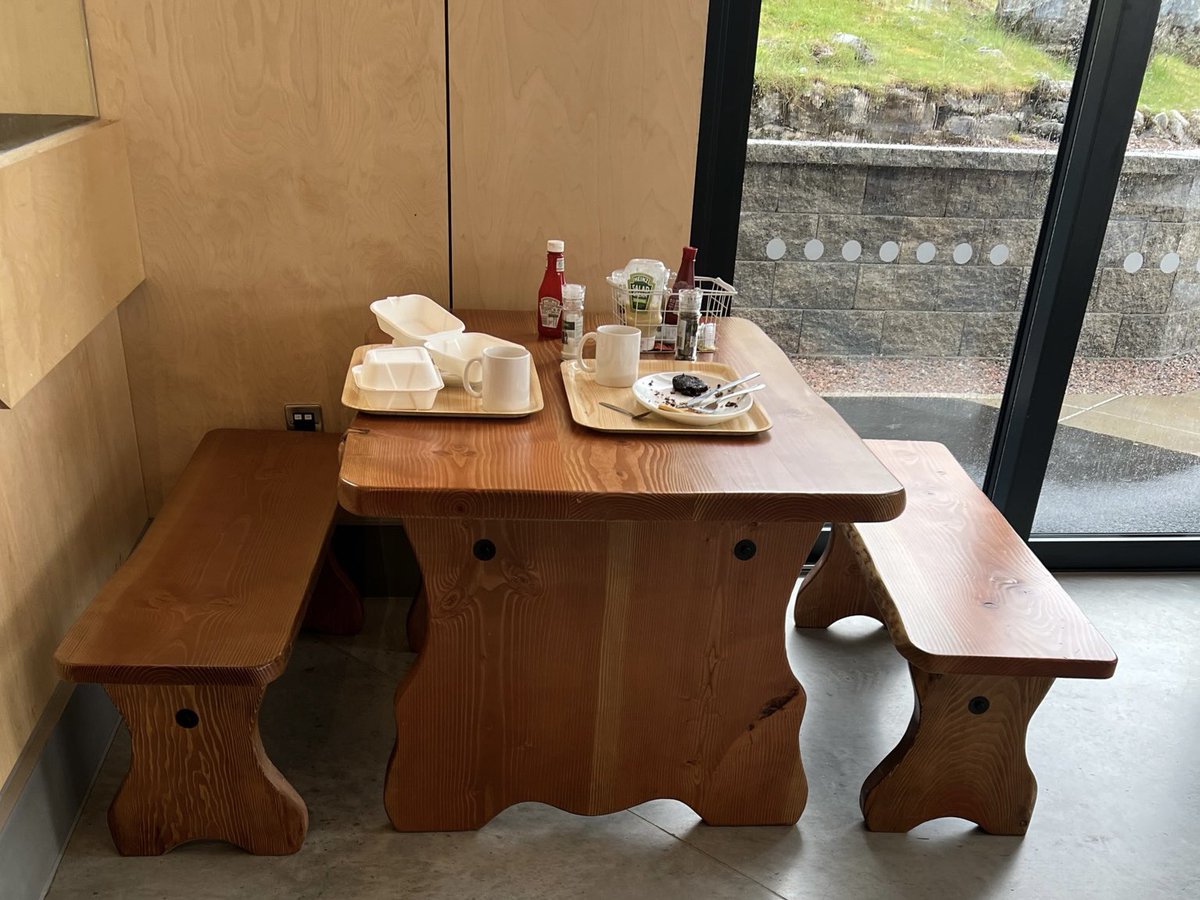
We went up to the cafe for breakfast and to our relief they had a hut left, they kindly offered to give us the keys straight away. To our surprise bumped into our trail pals there, who we’d last seen camped up by the river at Inveroran the previous afternoon! 
They’d packed up at 4am, and crossed Rannoch Moor in the storm arriving here for breakfast. They got the last hobbit huts so they were staying for the night too.
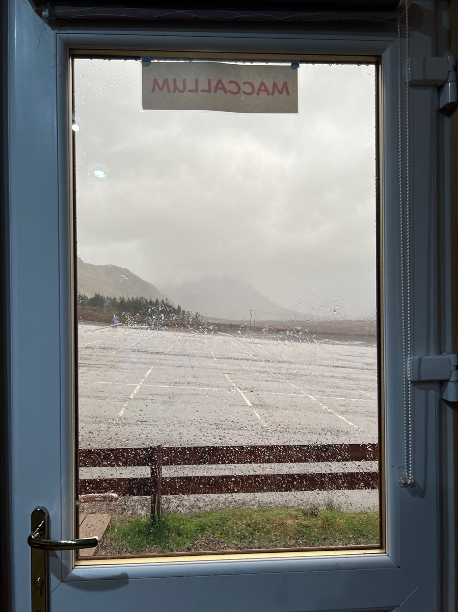
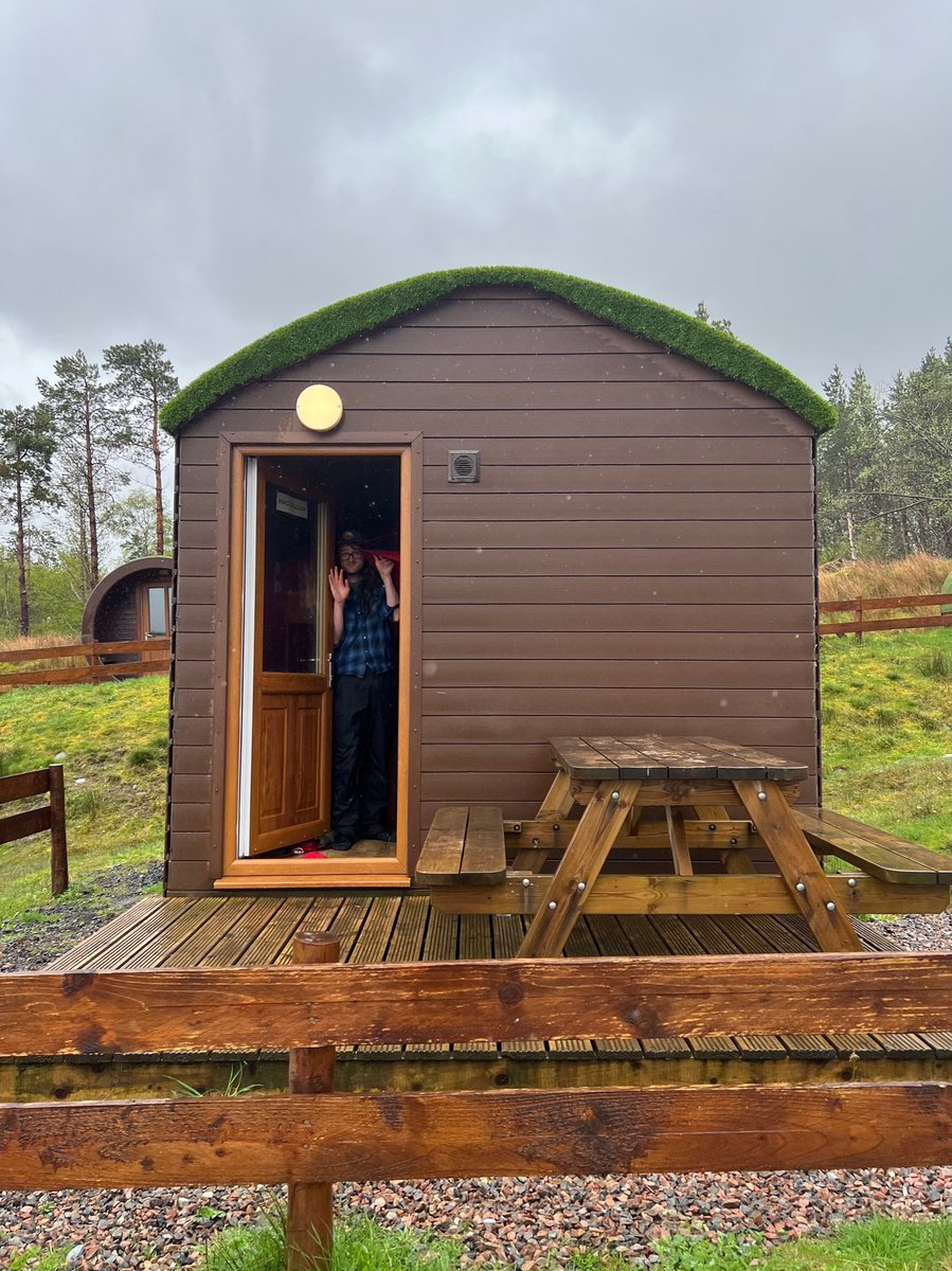
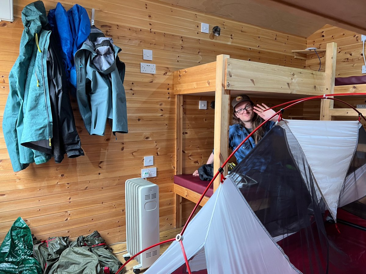
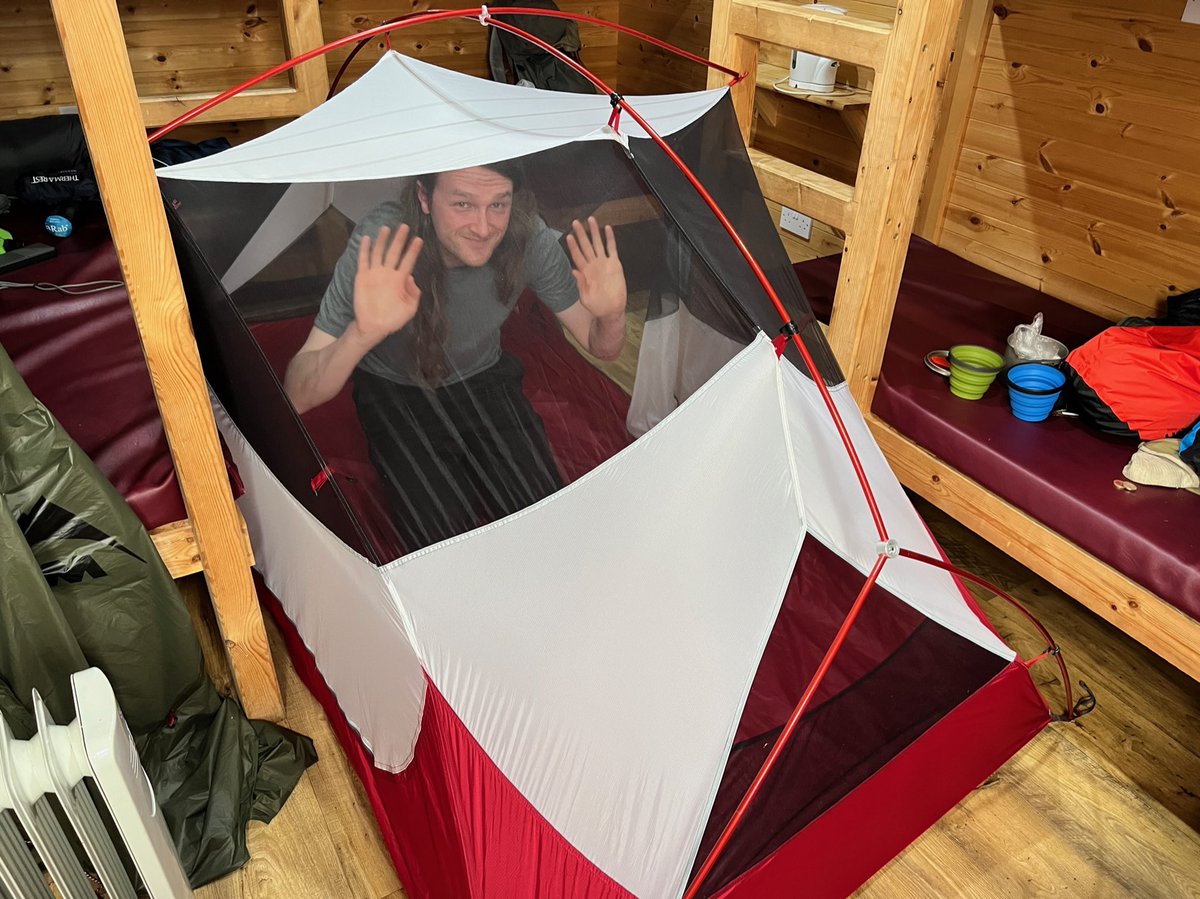
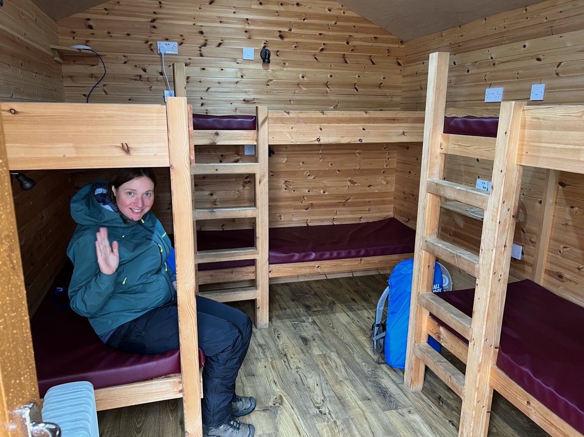
We headed down to our hut, Maccullum. It was so warm & cosy, so we got all our gear out to dry and put the kettle on.


We headed down to our hut, Maccullum. It was so warm & cosy, so we got all our gear out to dry and put the kettle on.
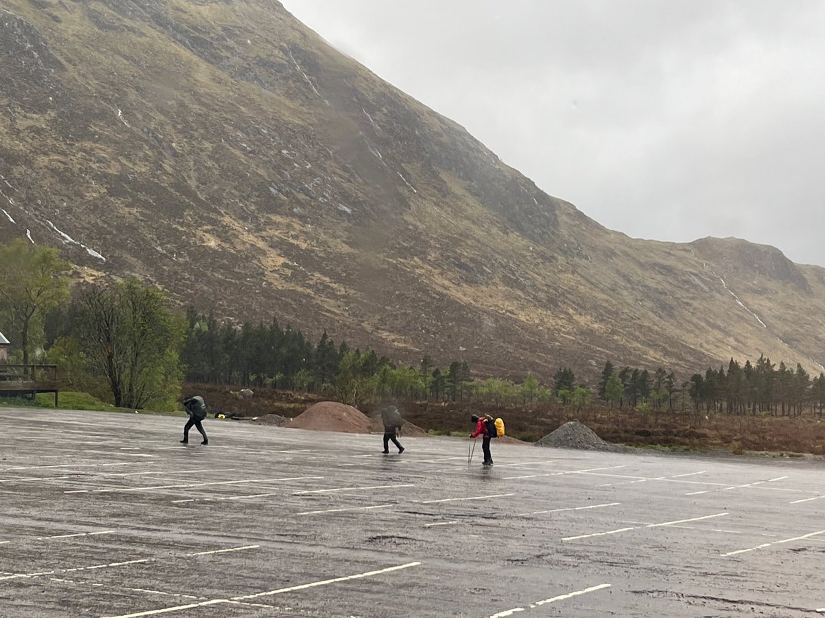
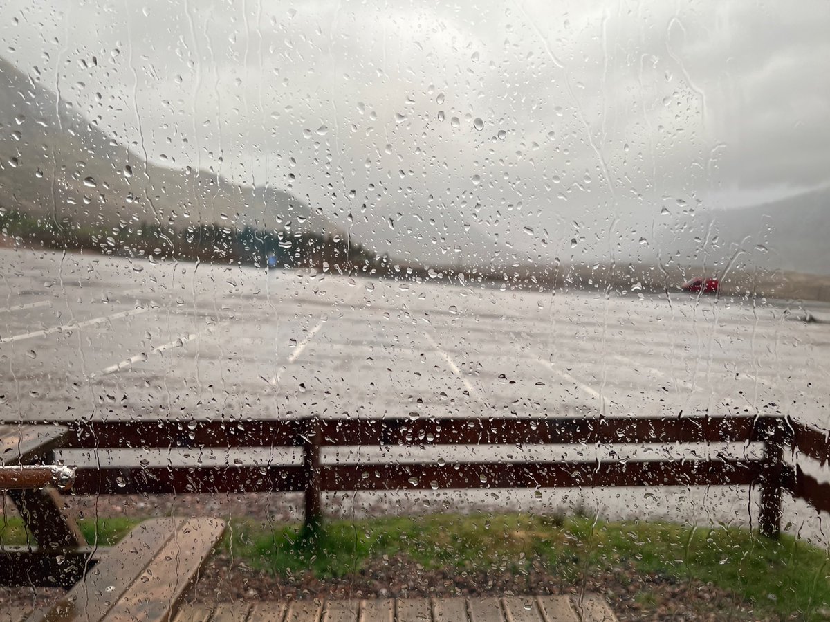
And watched all the poor drenched souls coming in off Rannoch Moor out the window, dwarfed by the imposing mass of a fog-shrouded Buachaille Etive Mòr. 
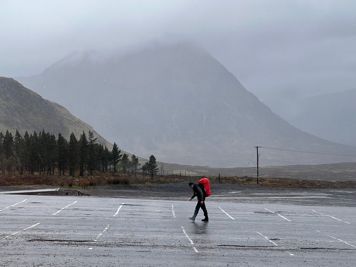
We stayed inside mesmerised watching the rain for hours… (sound on)
Until hunger and the thought of pints motivated us to run up to the cafe during a slight break in the weather. 


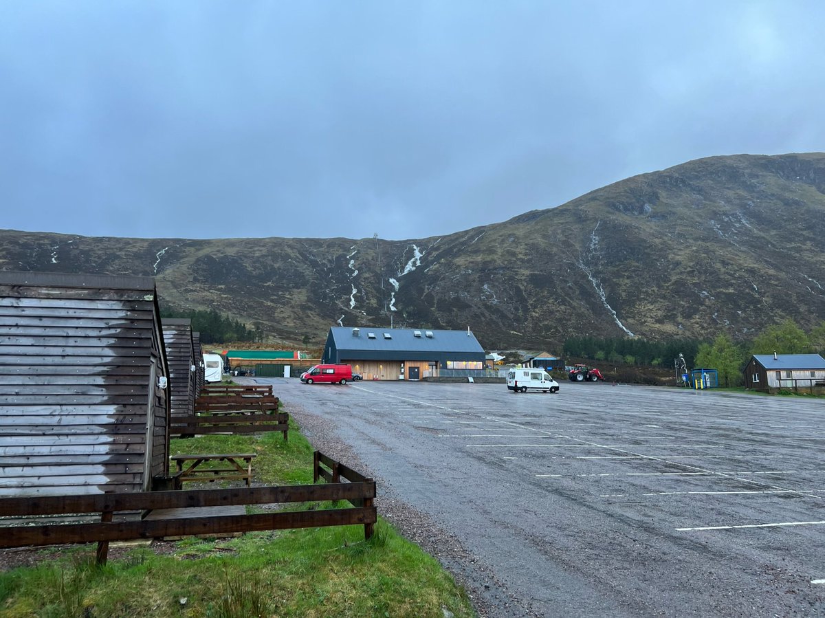
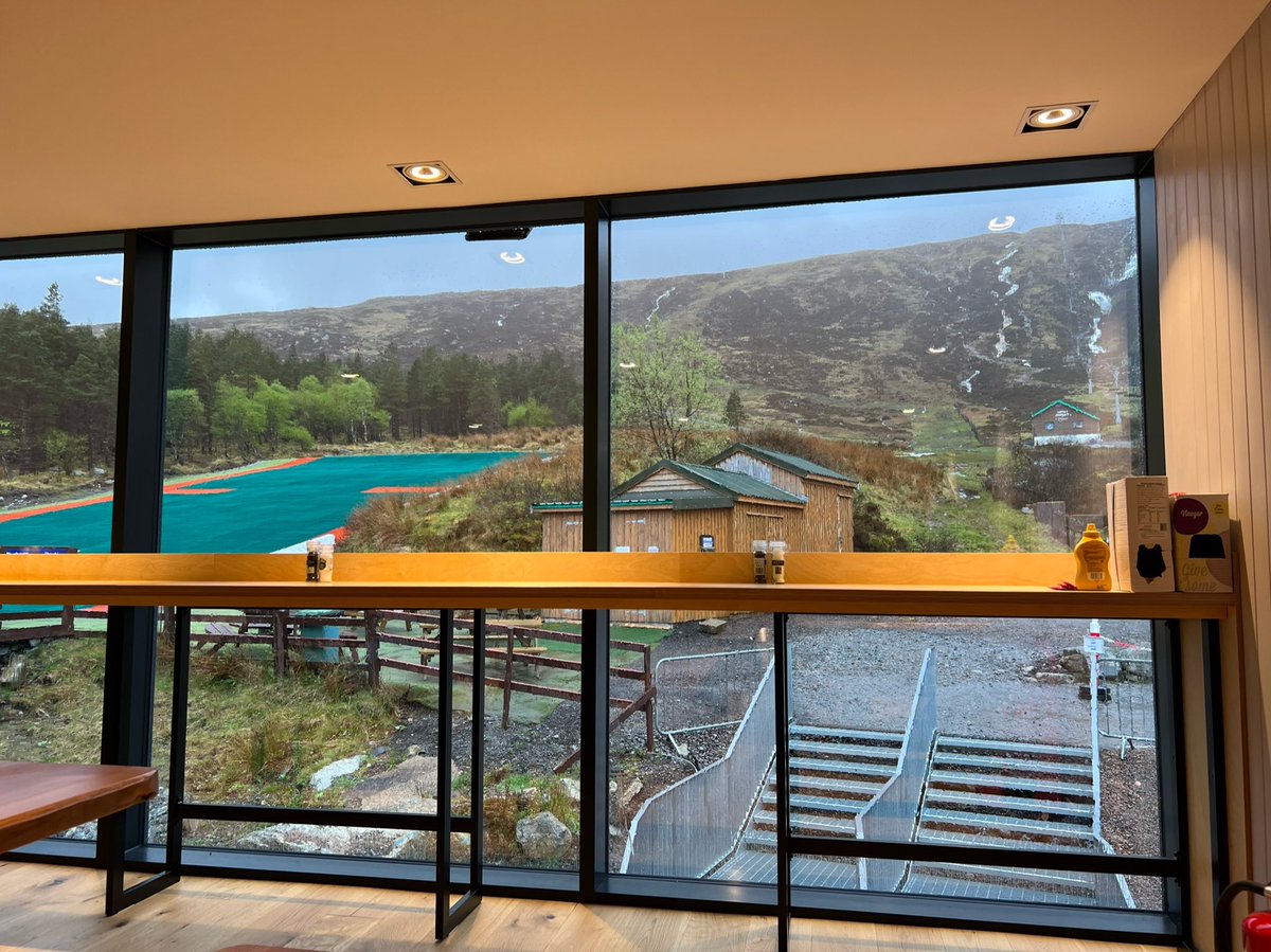
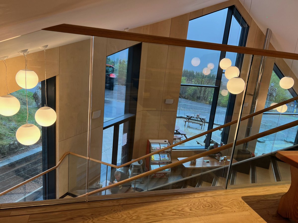
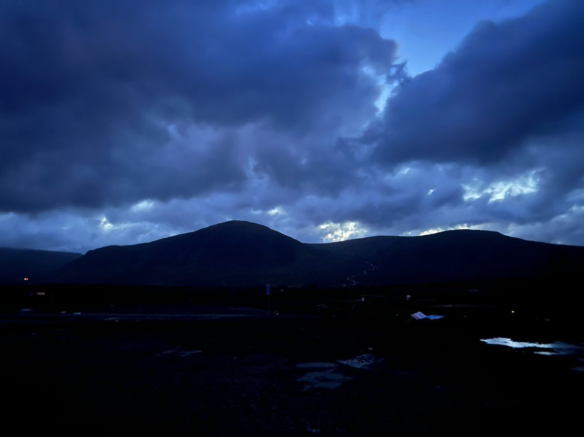
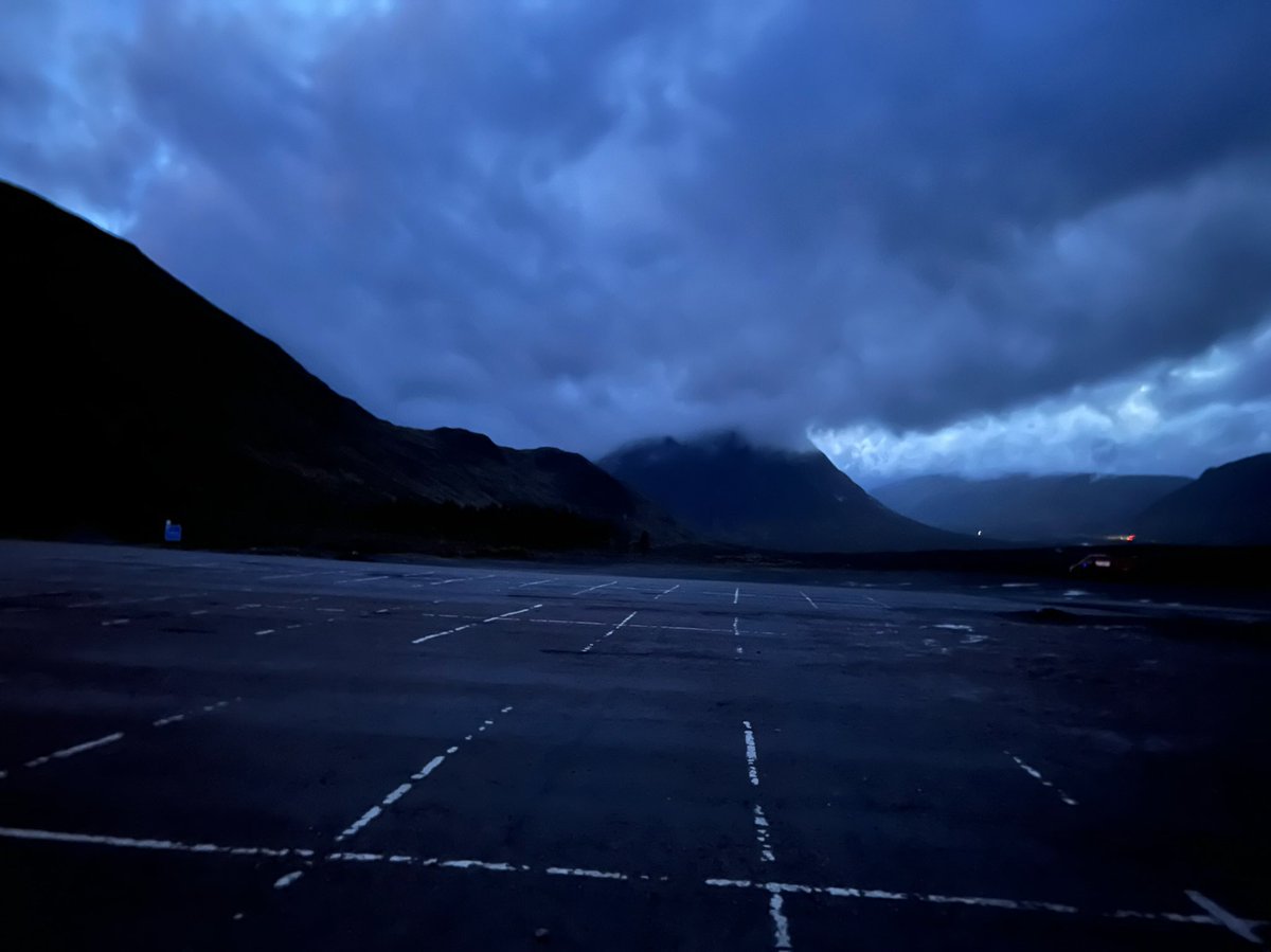
The sun setting behind the clouds to the west brought hope of better weather the next day. The forecast looked set to improve from the late morning onwards. But before that, it was going to be an even more stormy night than the last. 
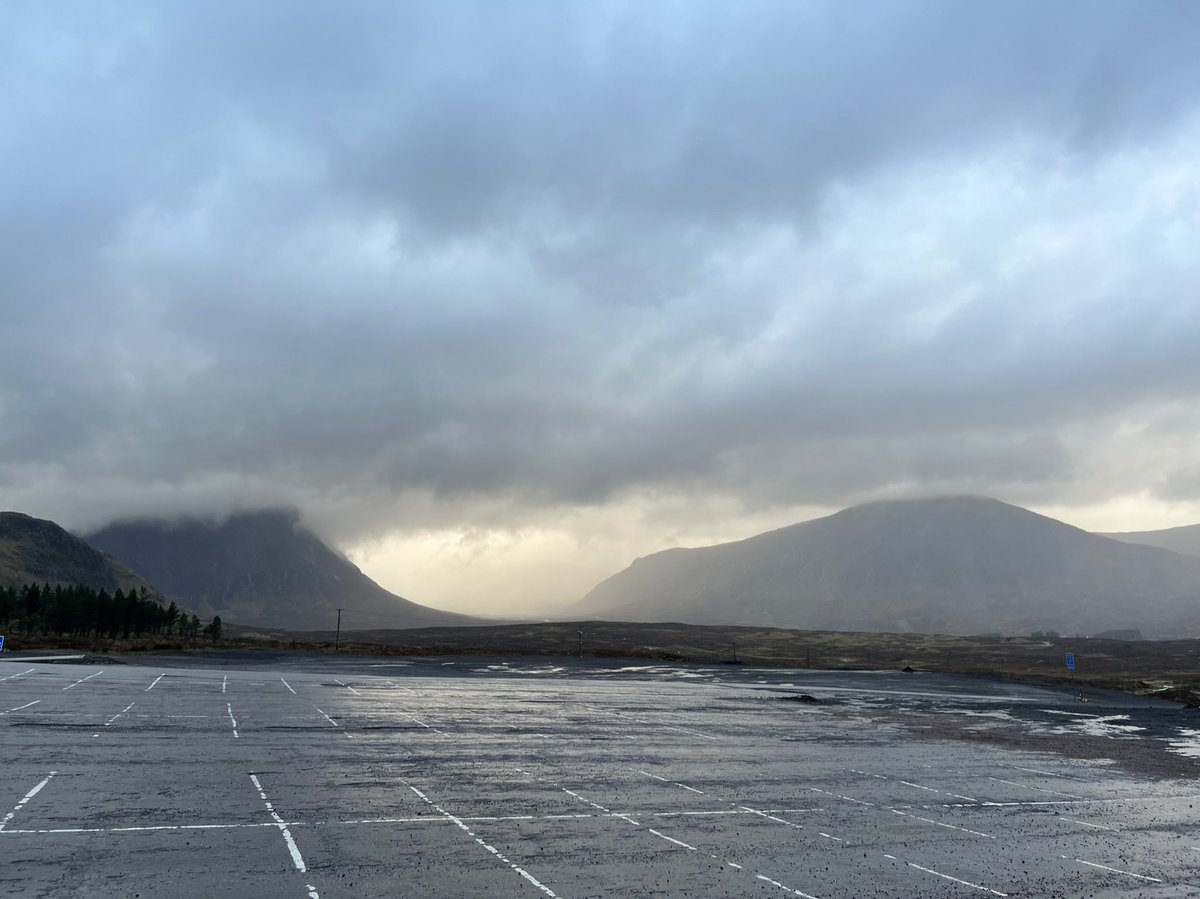
Amazingly the campsite had drained a little during the day and lots of people had set up tents there. But as the night drew in, the rain got heavier and the winds faster, and it flooded again and the tents started collapsing. So the resort opened up the cafe for them to sleep in! 
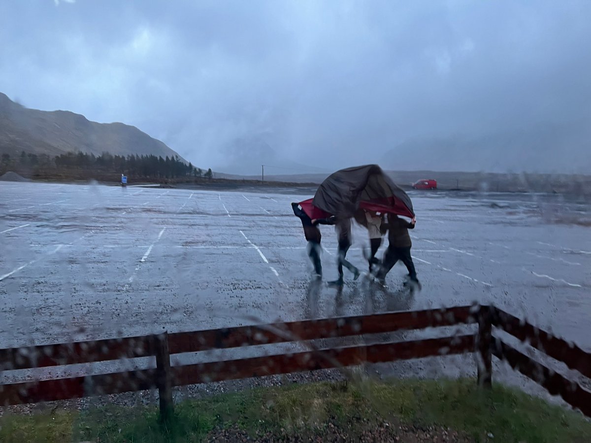
But some people braved it and stayed camped outside. And just before darkness fell, blue sky briefly appeared! 
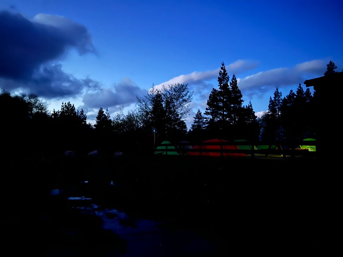
🥾 Day 7
Glencoe Mountain Resort - Kinlochleven 16.8km
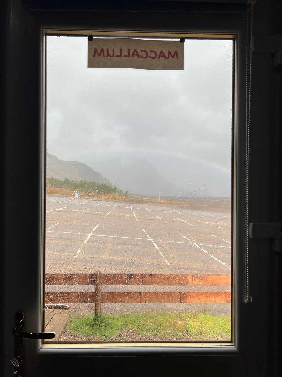
We awoke from a great night’s sleep in our hobbit hut, to see a rainbow arching over Buachaille Etive Mòr. It seemed like a good omen!
Glencoe Mountain Resort - Kinlochleven 16.8km
We awoke from a great night’s sleep in our hobbit hut, to see a rainbow arching over Buachaille Etive Mòr. It seemed like a good omen!
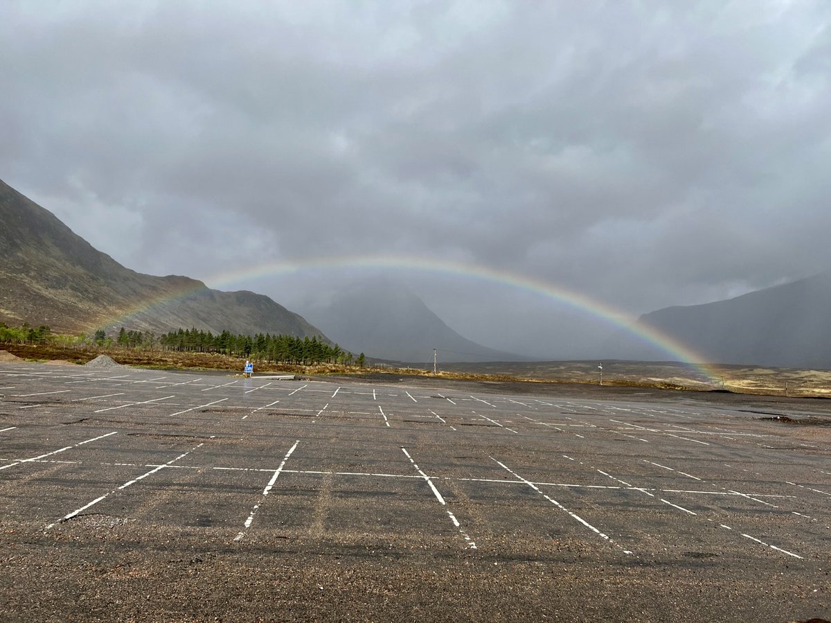
The weather was forecast to improve throughout the day so we had a slow start making the most of the last morning in our cosy hut, and went back up to the cafe for breakfast. 

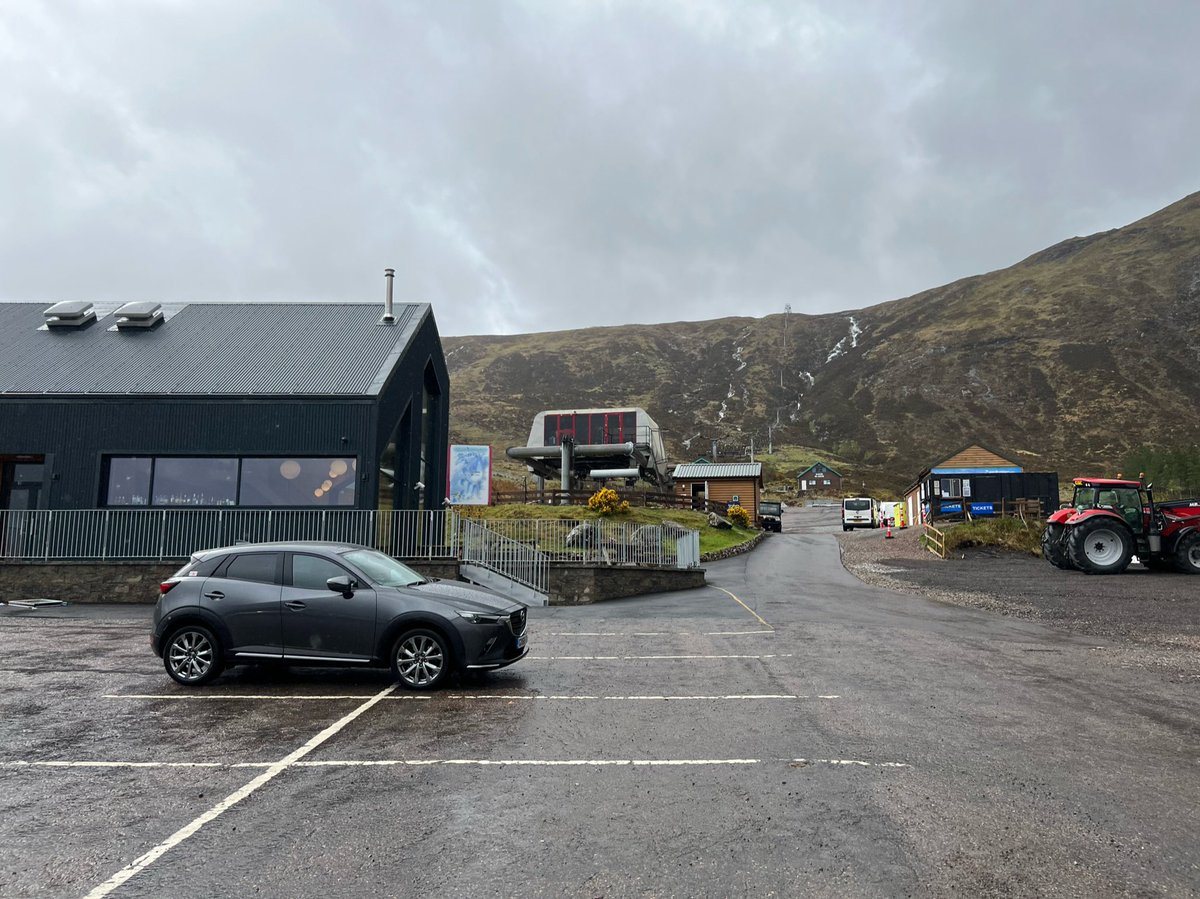
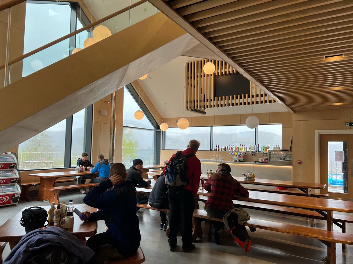
Before packing up and waving goodbye to our lovely temporary home, MacCallum. It had served us well!
We decided we’d be back as it would be a good place to stay if we came to climb Buachaille Etive Mòr. The mountain was calling, after staring at it out the window for so long!


We decided we’d be back as it would be a good place to stay if we came to climb Buachaille Etive Mòr. The mountain was calling, after staring at it out the window for so long!
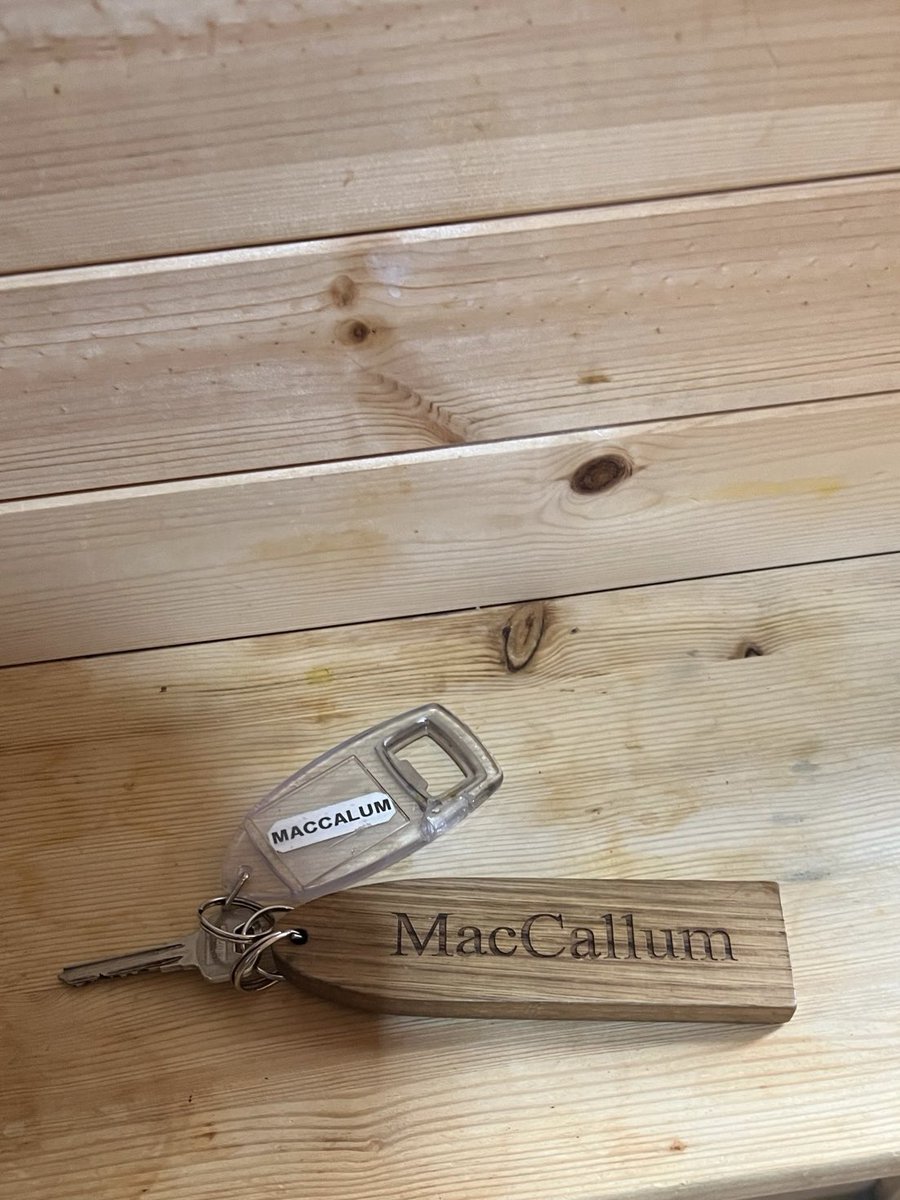
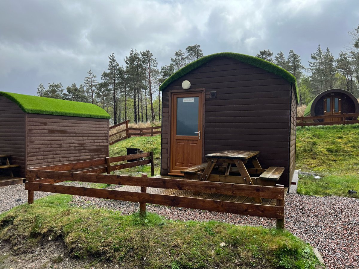
Last view of MacCallum and his friends before we set off. MacCallum is the second hut with the green roof from the left. 
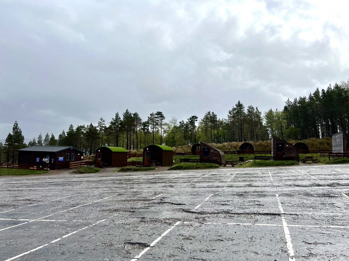
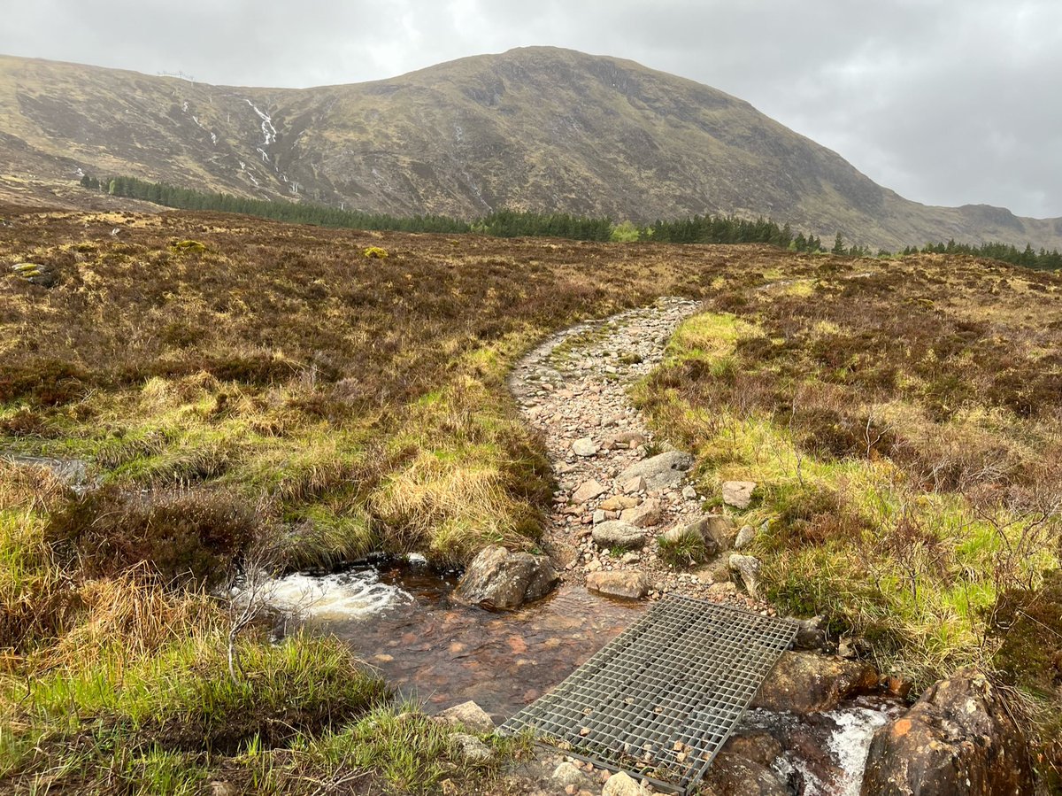
There is a shortcut back onto the route, but Ian didn’t want to miss out even a tiny part of the Way so we headed back to the same point where we’d left the path after Rannoch Moor. 


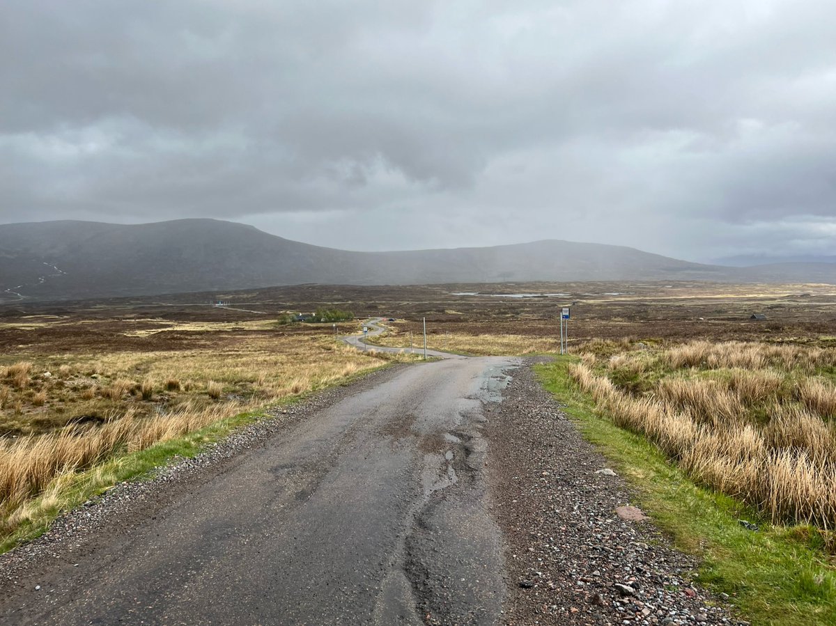

This is where the road from Glencoe Mountain joins onto the route. Going back along the spur trail like we did, instead of taking the shortcut on the road adds on about 800m. 
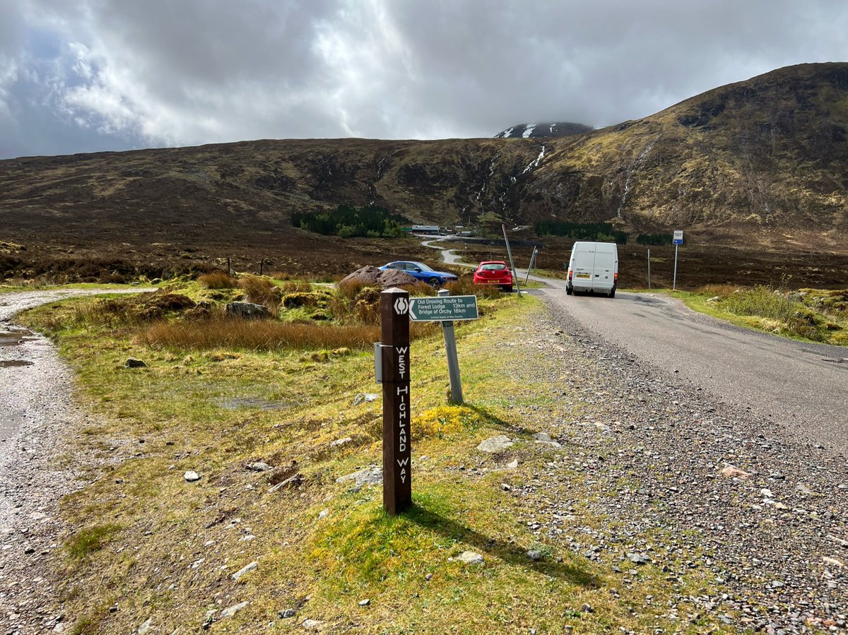
Close up of the sign pointing back over Rannoch Moor for @ScotWays 
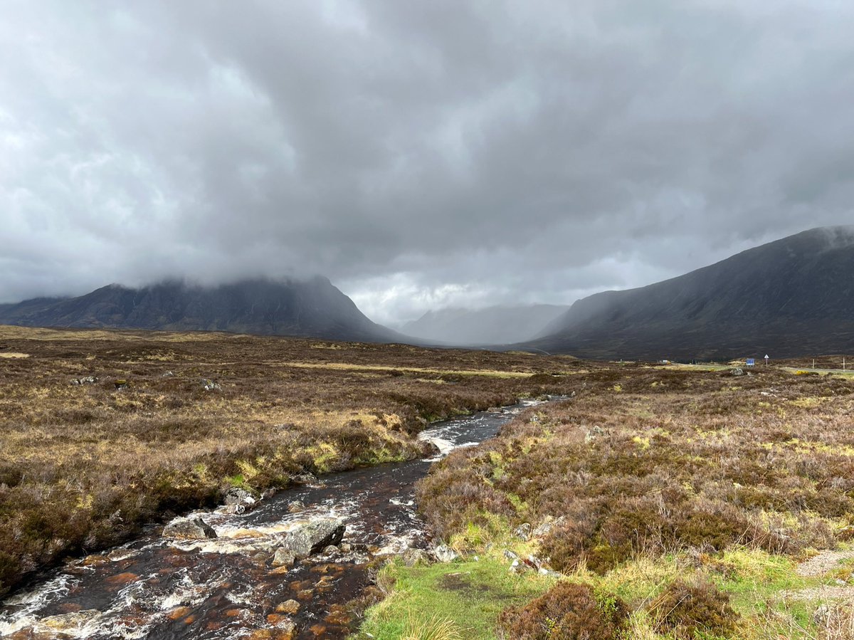
We crossed the River Etive with views up towards Glen Coe - a U-shaped glen formed by an ice age glacier from the remains of an ancient supervolcano. 
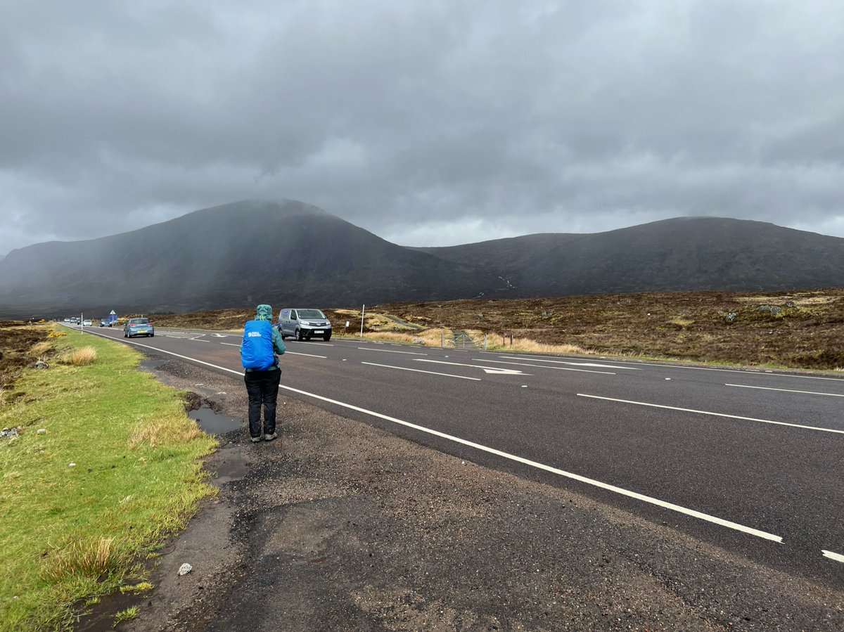
We were now back at the A82 which we’d last crossed at Bridge of Orchy. The Citylink bus stops here, and there was someone waiting for it. It’s quite an intimidating road to cross with lots of cars speeding along. 

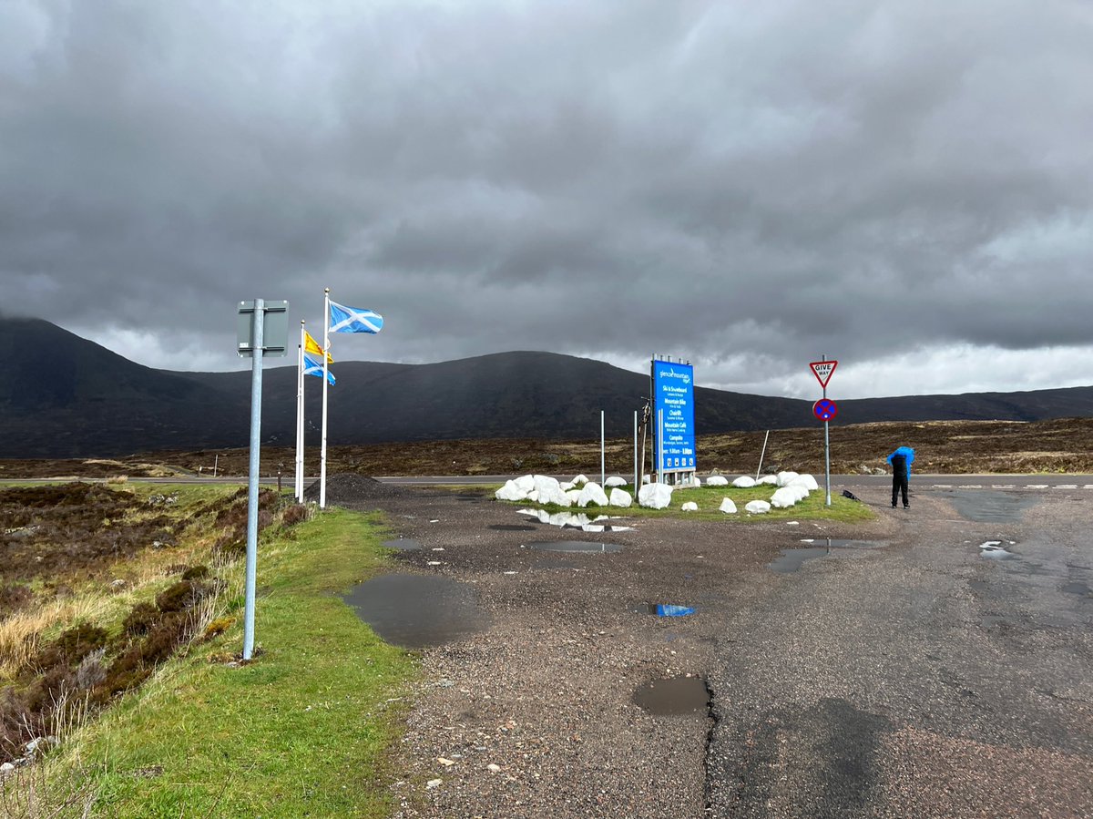
When we crossed the road, we could see The Kingshouse down the track - one of Scotland’s oldest inns dating back to the C17th. It has recently been extended and refurbished - despite objections from @JohnMuirTrust, @Mountain_Scot and @N_T_S. 
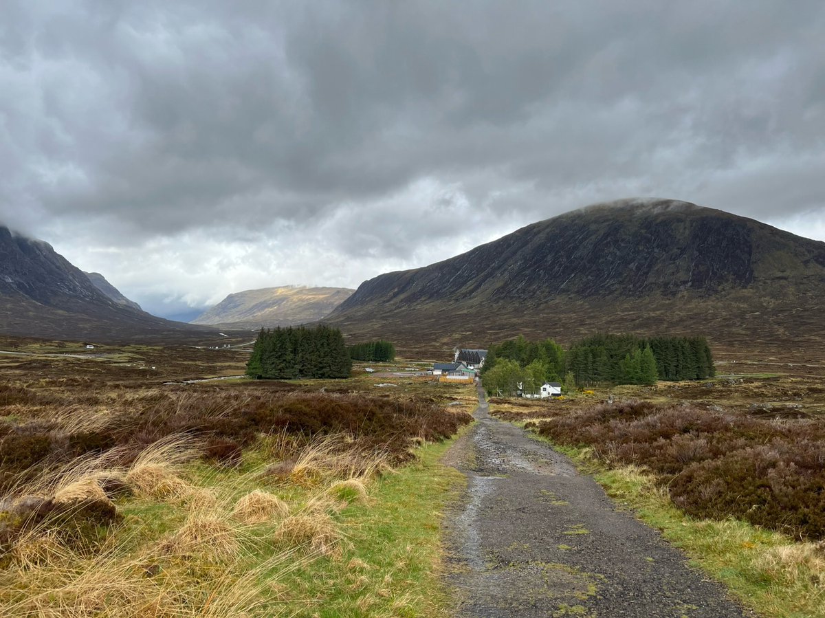
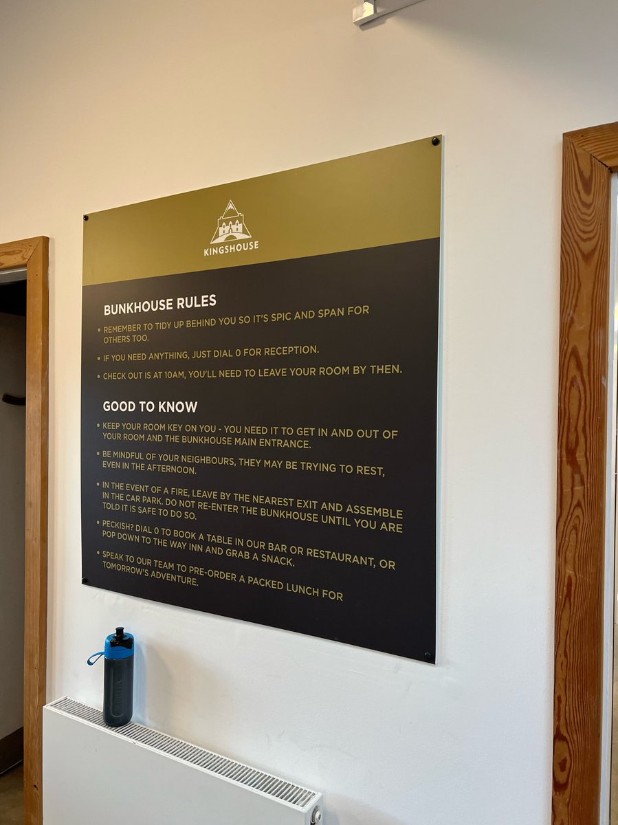
We stuck our heads in the bunkhouse, there is also also an informal camping area, and there are toilets and showers free to use for anyone. 

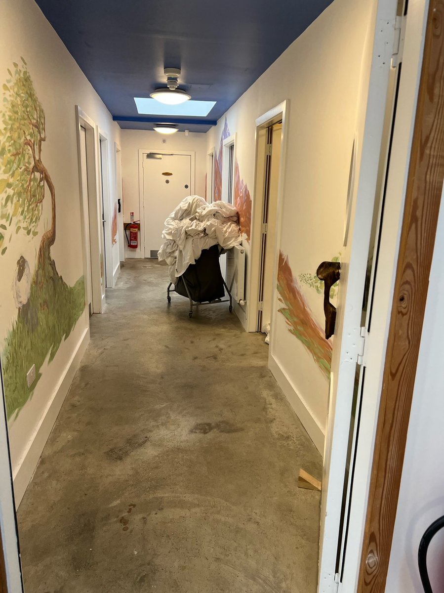
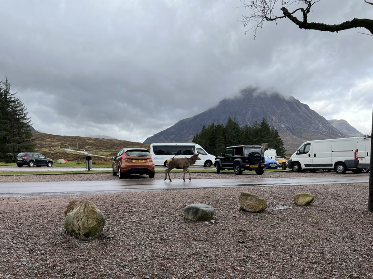
When I was making use of the facilities, Ian spotted another deer in the car park. The views of Buachaille Etive Mòr are superb from here. 
This is the original building, which is now a walkers’ bar. We had a nosy inside but didn’t stay. They sell snacks and sandwiches during the day, as well as evening bar meals. Useful to know as it’s incredibly remote and there is nowhere else nearby except the ski resort. 


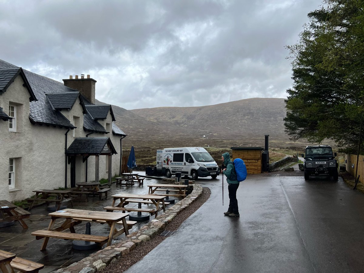
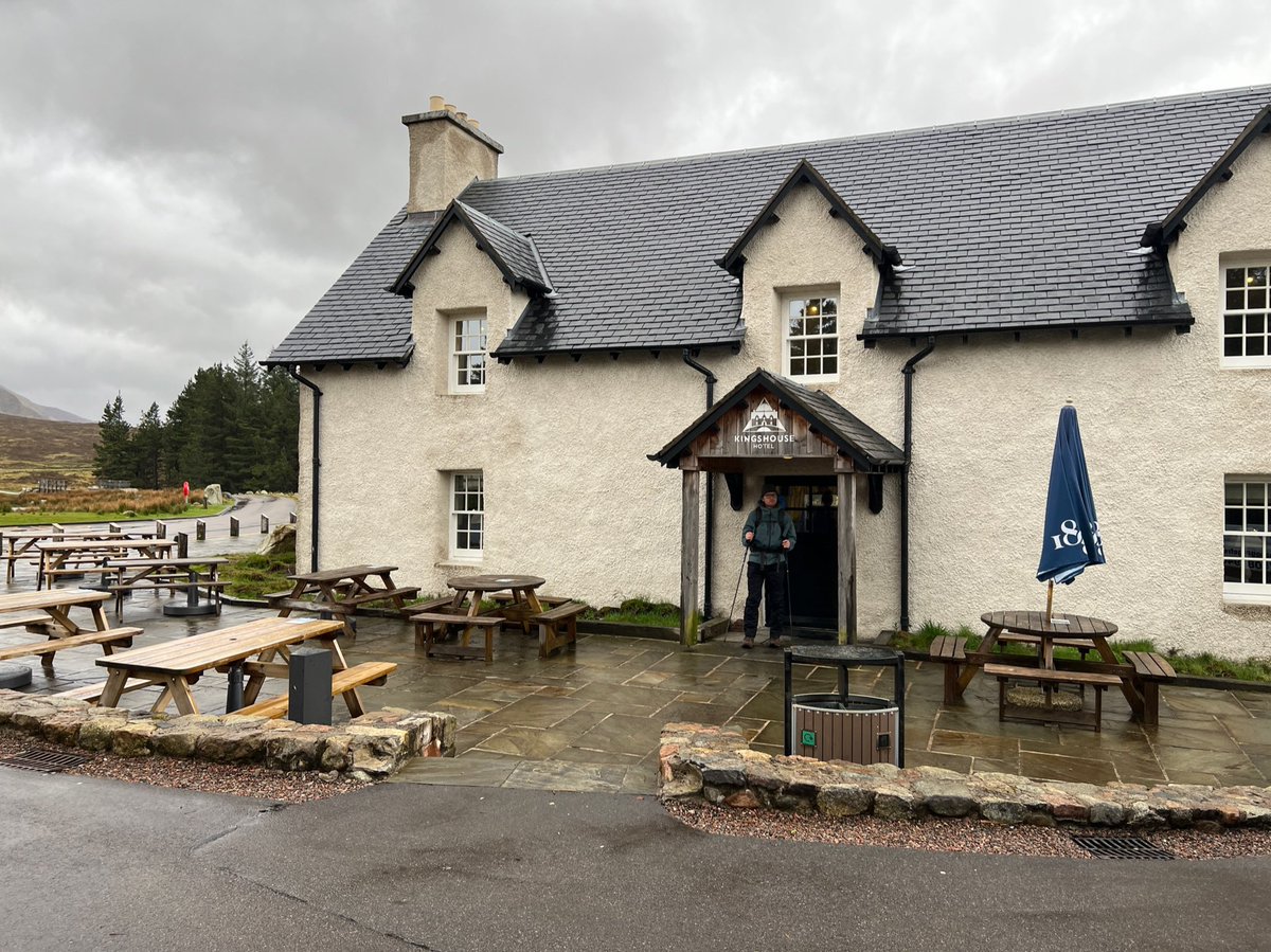
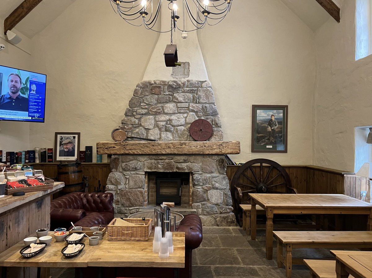
Behind the original building is the large new extension - which the objections were about. Some of the concerns were the design was “industrial” and “incongruous”. The new part is a high end hotel and bar. 

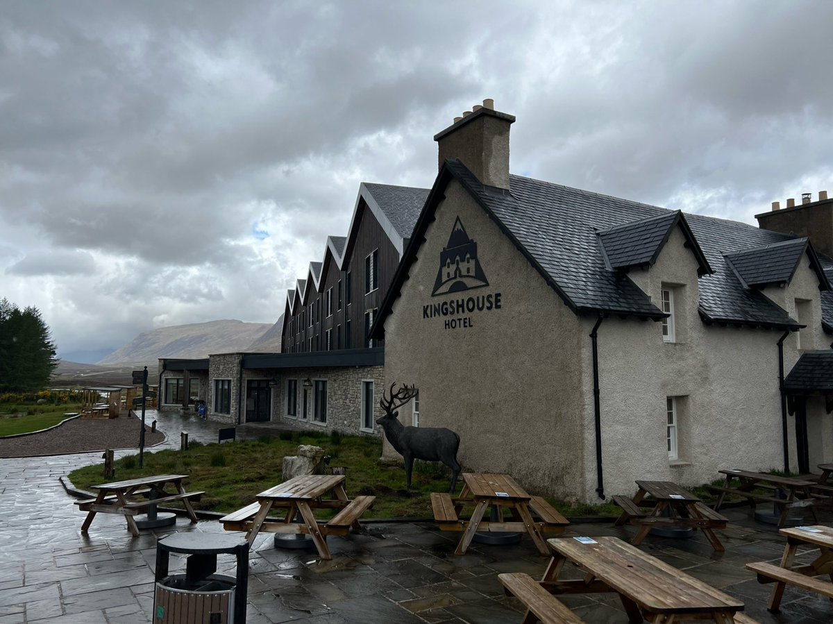
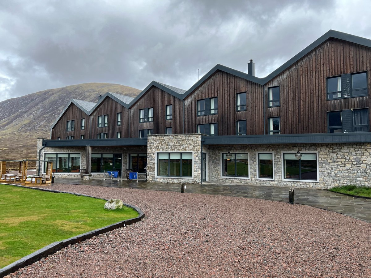
The River Etive runs right by the hotel. Around here is where people camp - though it looked very soggy and boggy when we were there. 


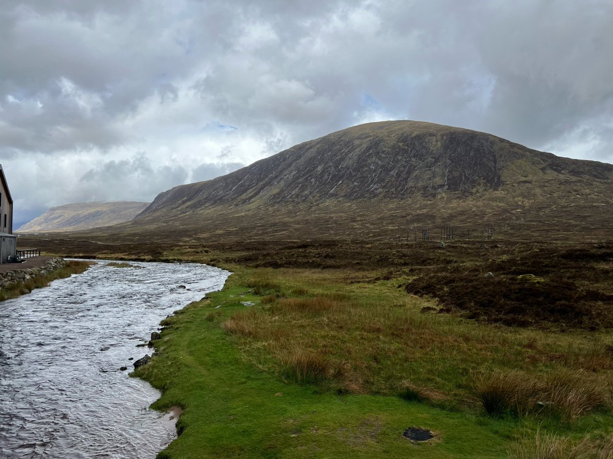
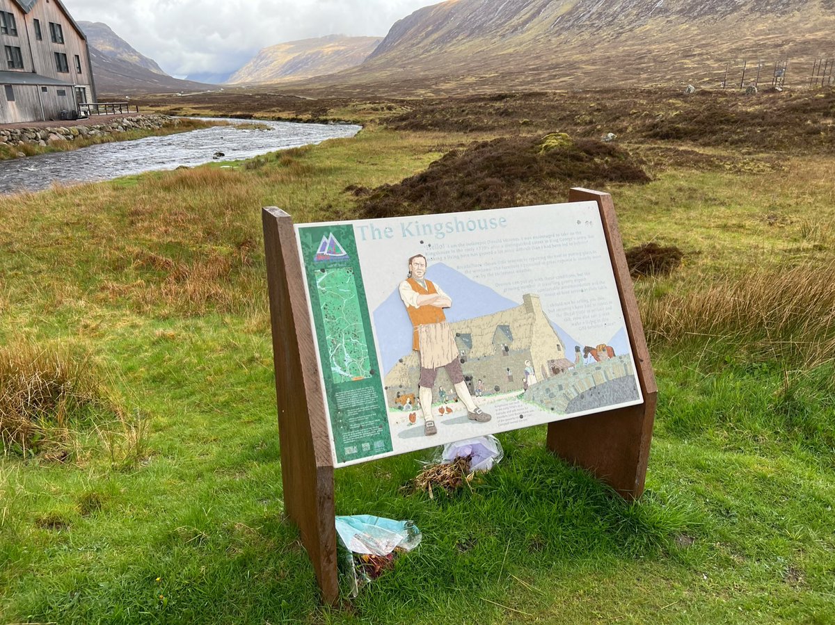
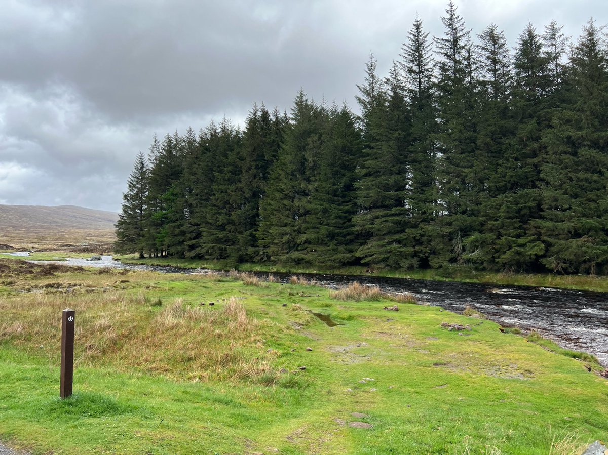
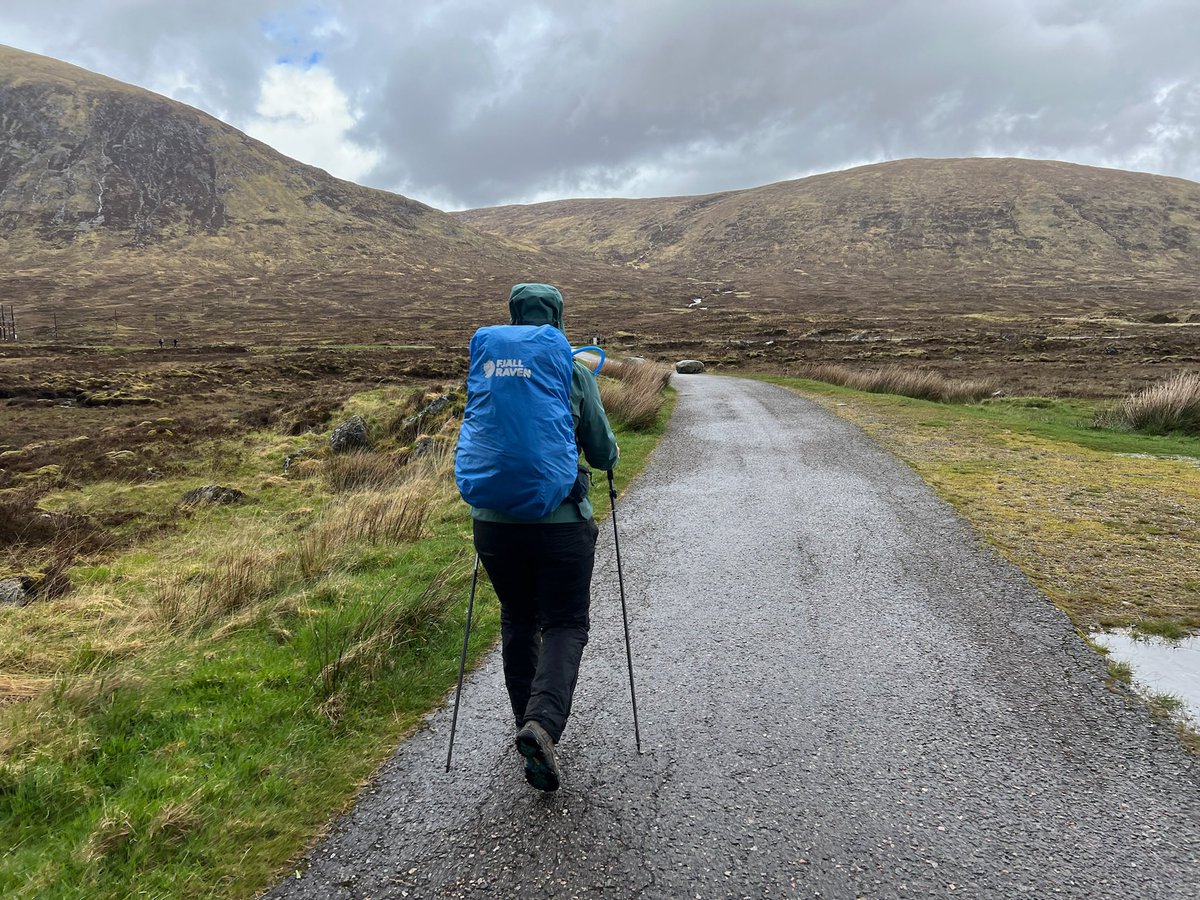
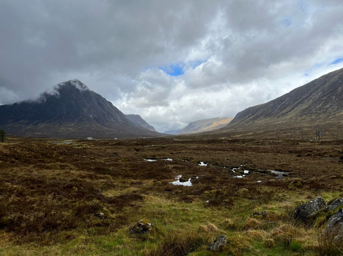
We followed the path as it continued north for a short time after The Kingshouse, enjoying the spectacular views to the west. 

We then reached a crossroads with another @ScotWays sign pointing east to Rannoch… 

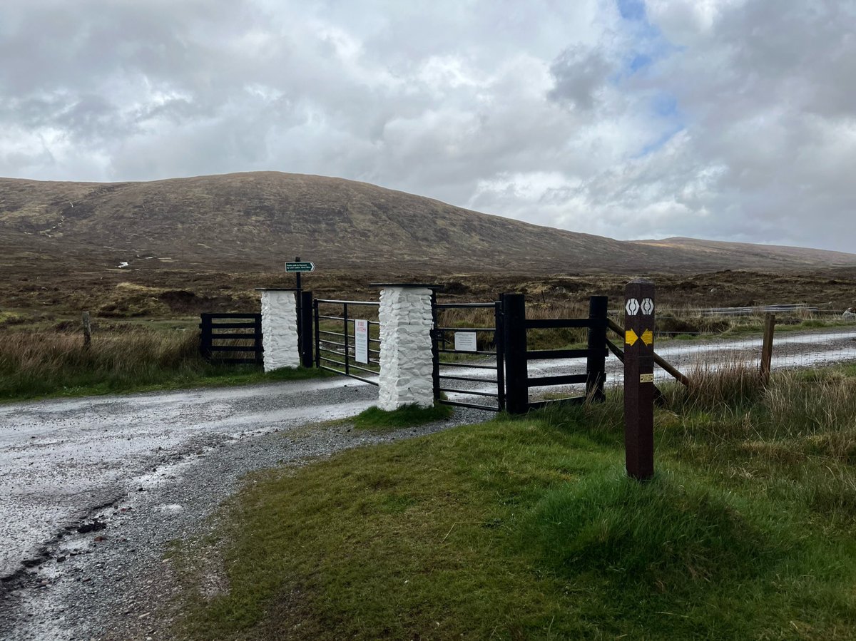
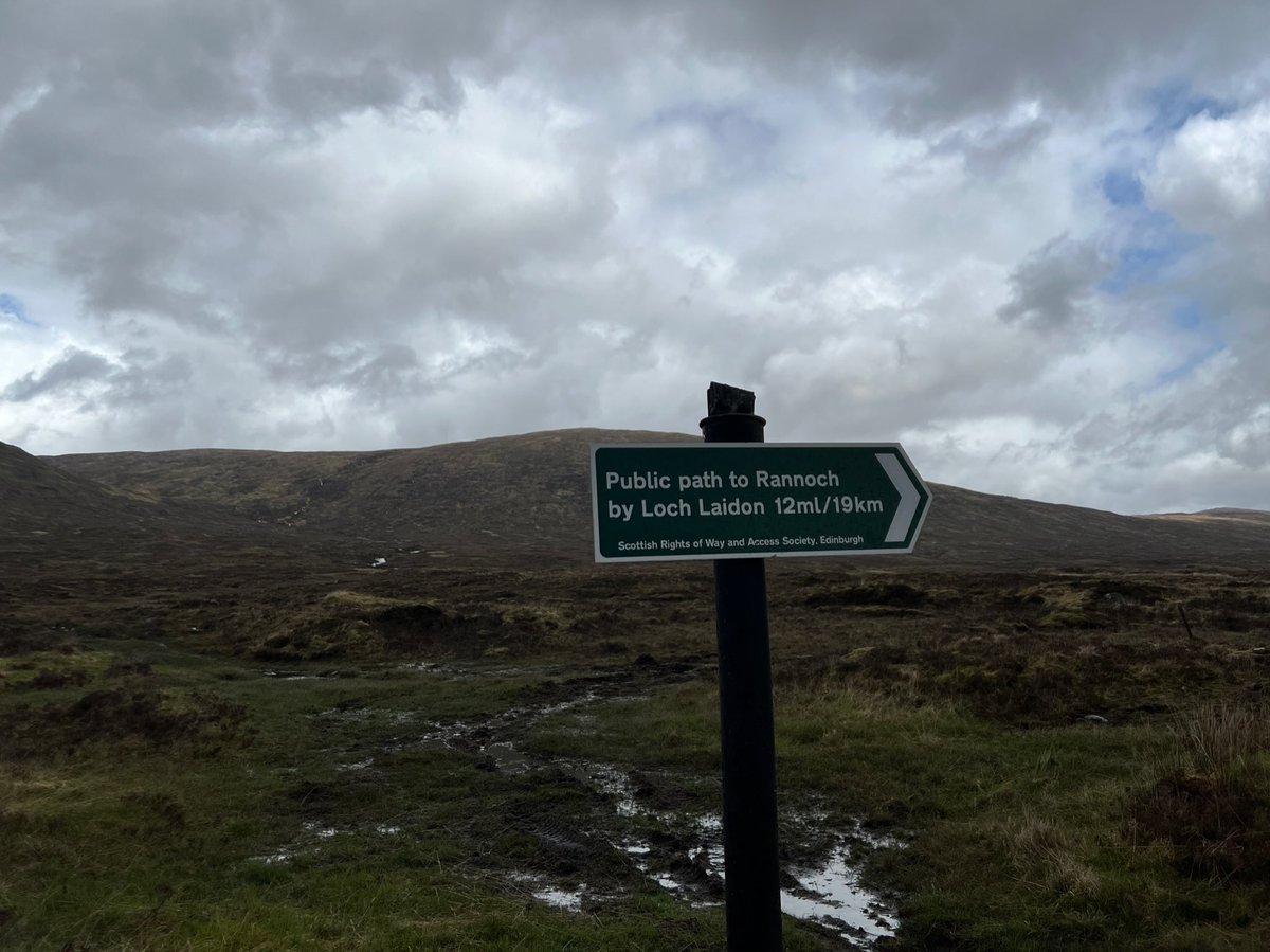
But we followed the @official_whw signs pointing west towards Buachaille Etive Mòr and Glencoe - back on the line of Wade's military road. 
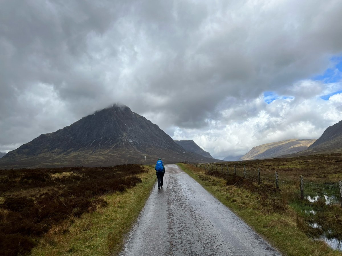
After a brief period walking on the wide track, another @official_whw sign signalled the turnoff to a much smaller, rougher path following the route of the old military road. 
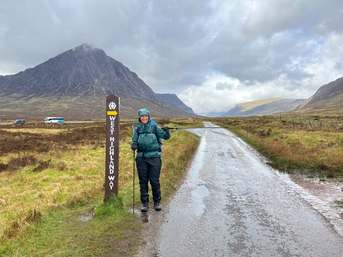
…this smaller track joined the A82 and we found ourselves walking directly alongside it. We’d driven along here many times in the past, and it felt surreal to be so near to the speeding cars which now seemed to be from another world. 


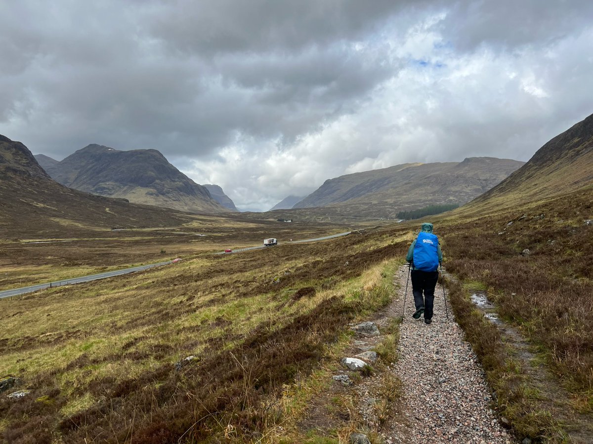
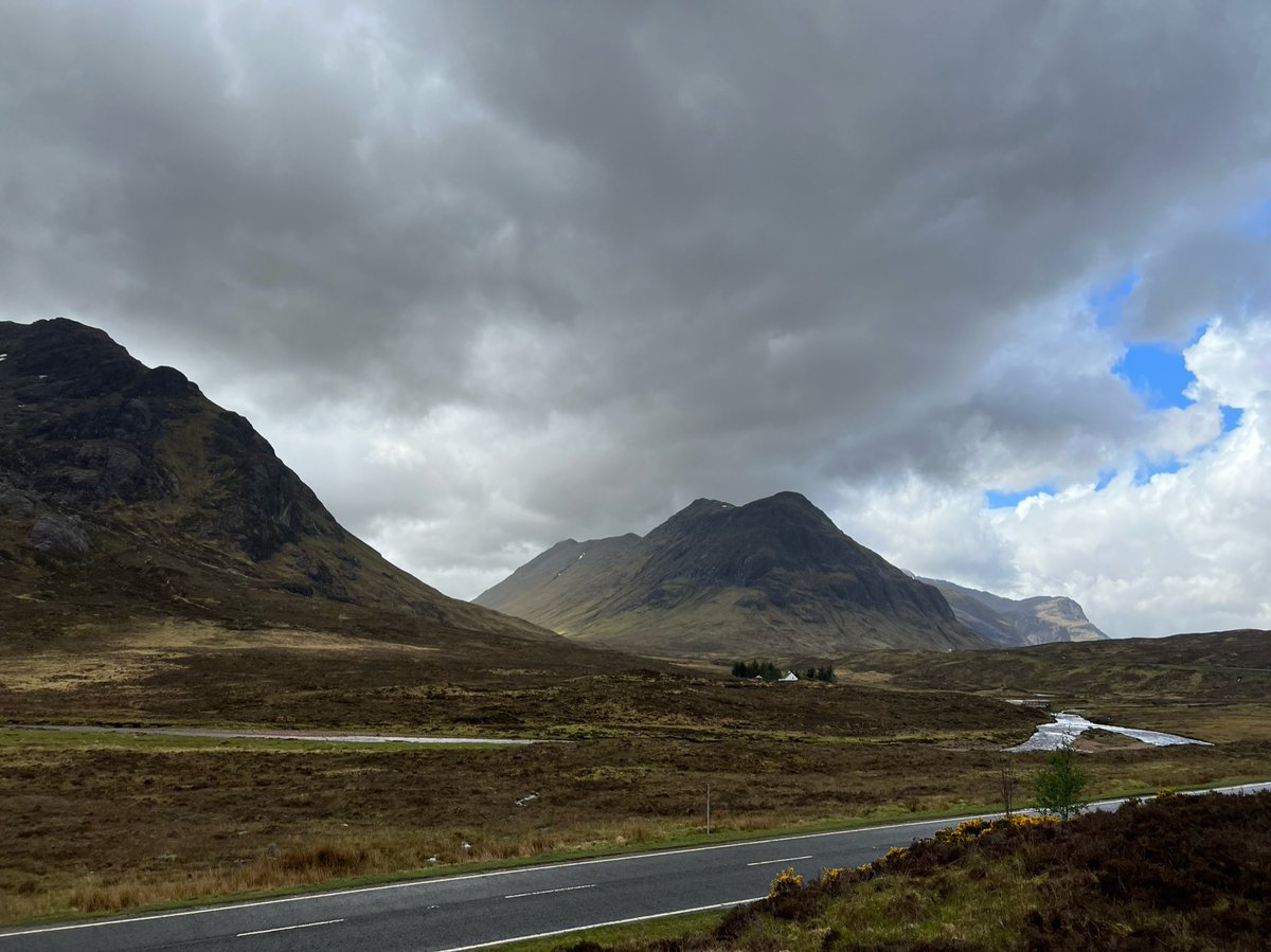
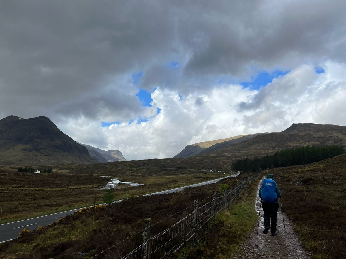
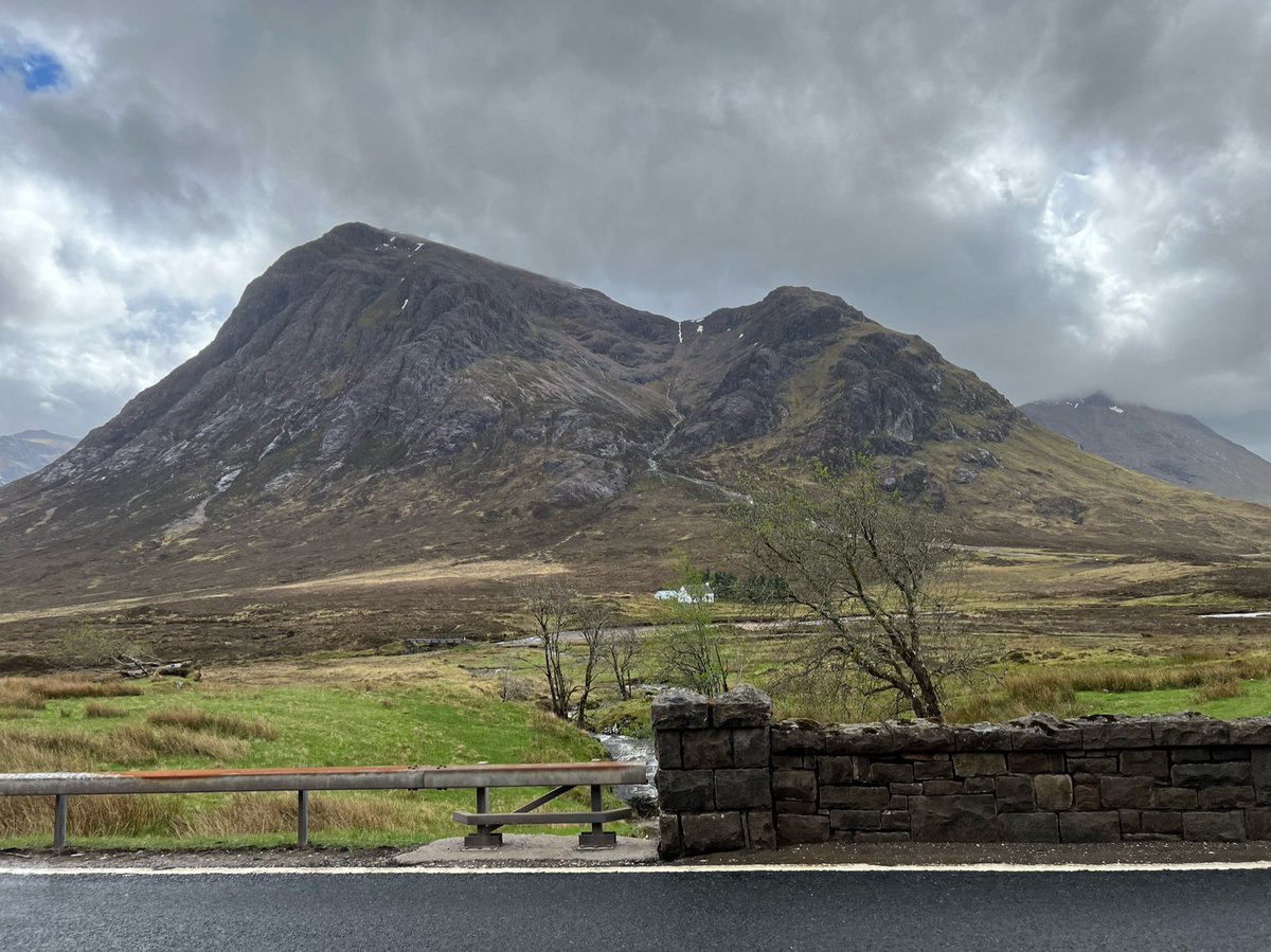
And to our left we could now see the walkers’ path up Buachaille Etive Mòr. Once again we vowed to come back and do it. We had only done it’s smaller brother - Buachaille Etive Beag. Their names mean the ‘Great Herdsman of Etive’ and ‘Little Herdsman of Etive’ respectively. 
Straight after the house we crossed a footbridge, then followed the path as it swung right sharply away from the road to head north on a steep climb to the highest point on the whole West Highland Way. And just in time, the sky turned blue! 


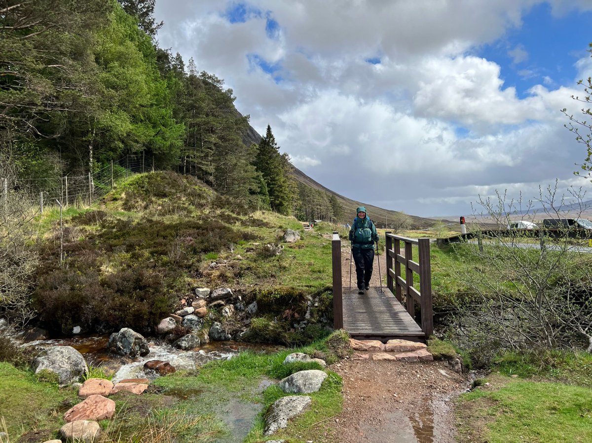
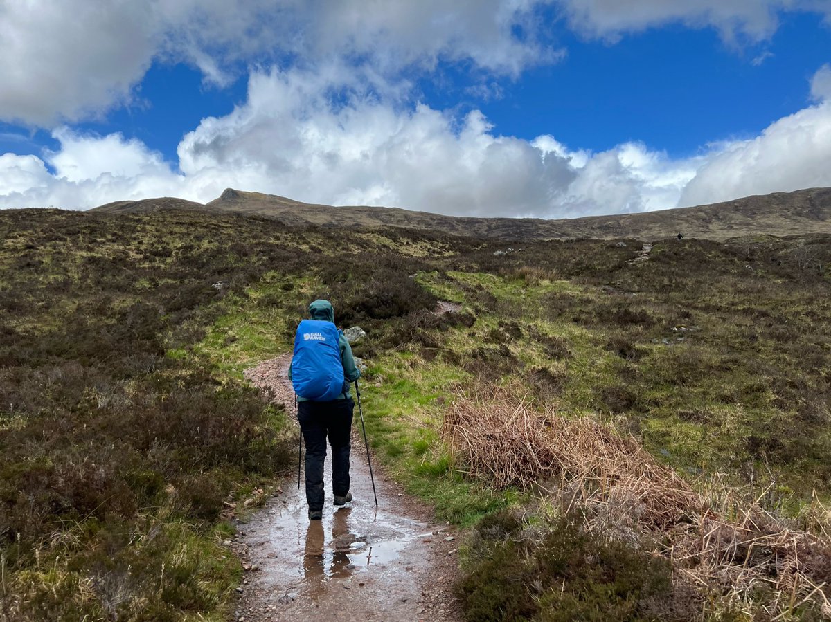
We followed a series of switchbacks known as the ‘Devil’s Staircase’ - named by the soldiers who built the road as part of Wade’s network in the C18th. It takes you over the eastern end of Aonach Eagach (notched ridge). 

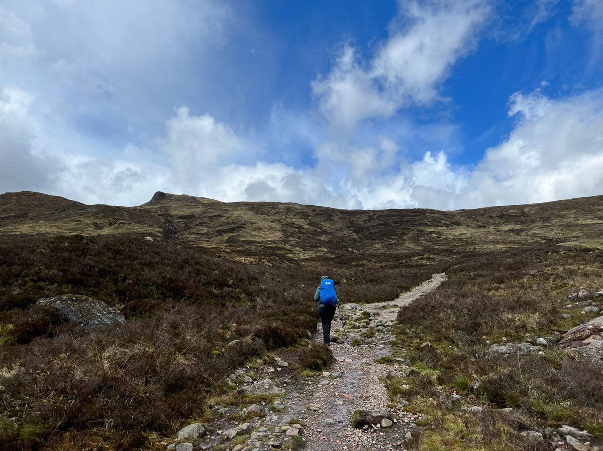
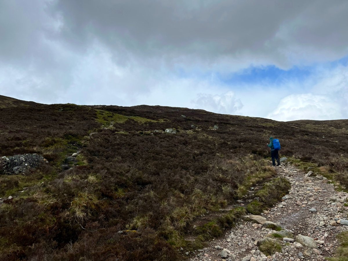
Jumping for joy at the summit - at 550m it’s the highest point on the #WestHighlandWay. 
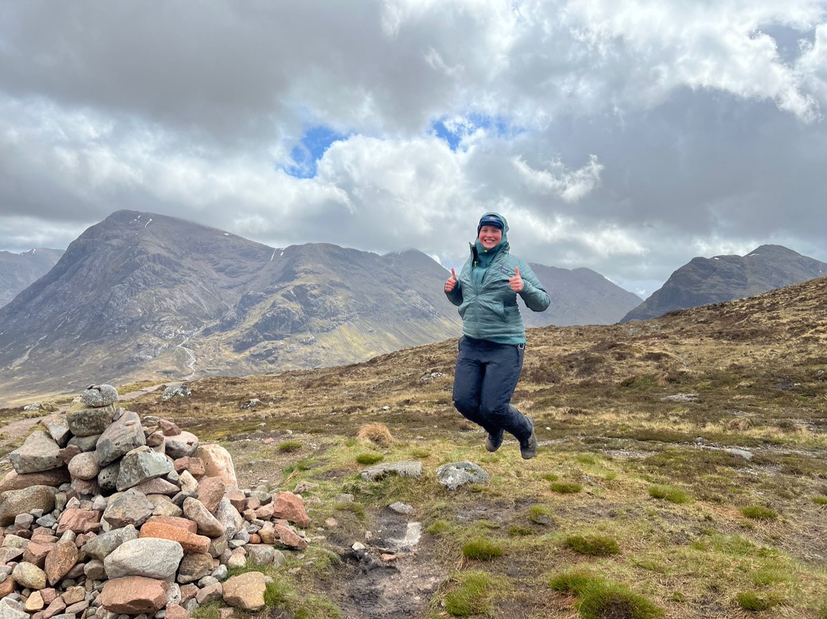
This flat rock by the summit made a great picnic spot. Of course we had to take photos there too. We were feeling pretty elated at this point! 

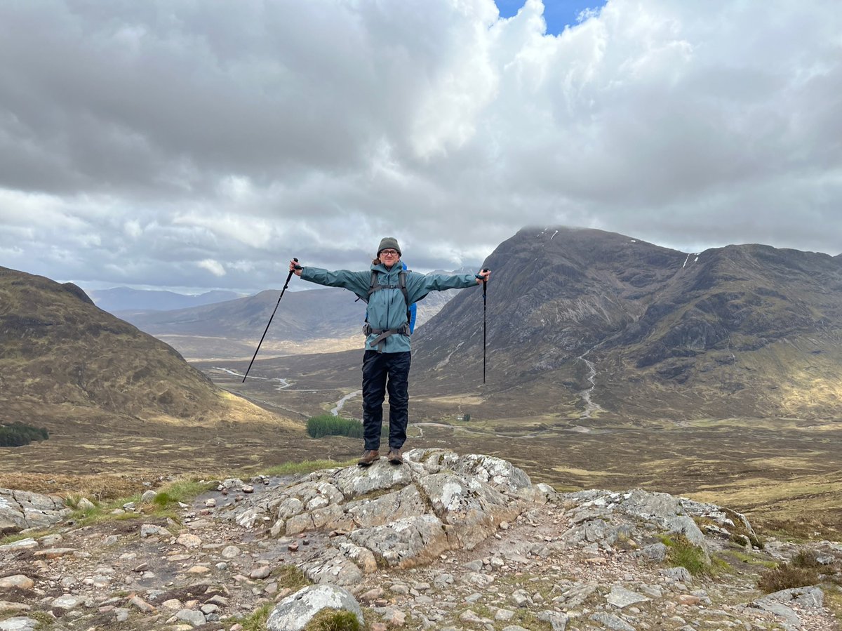
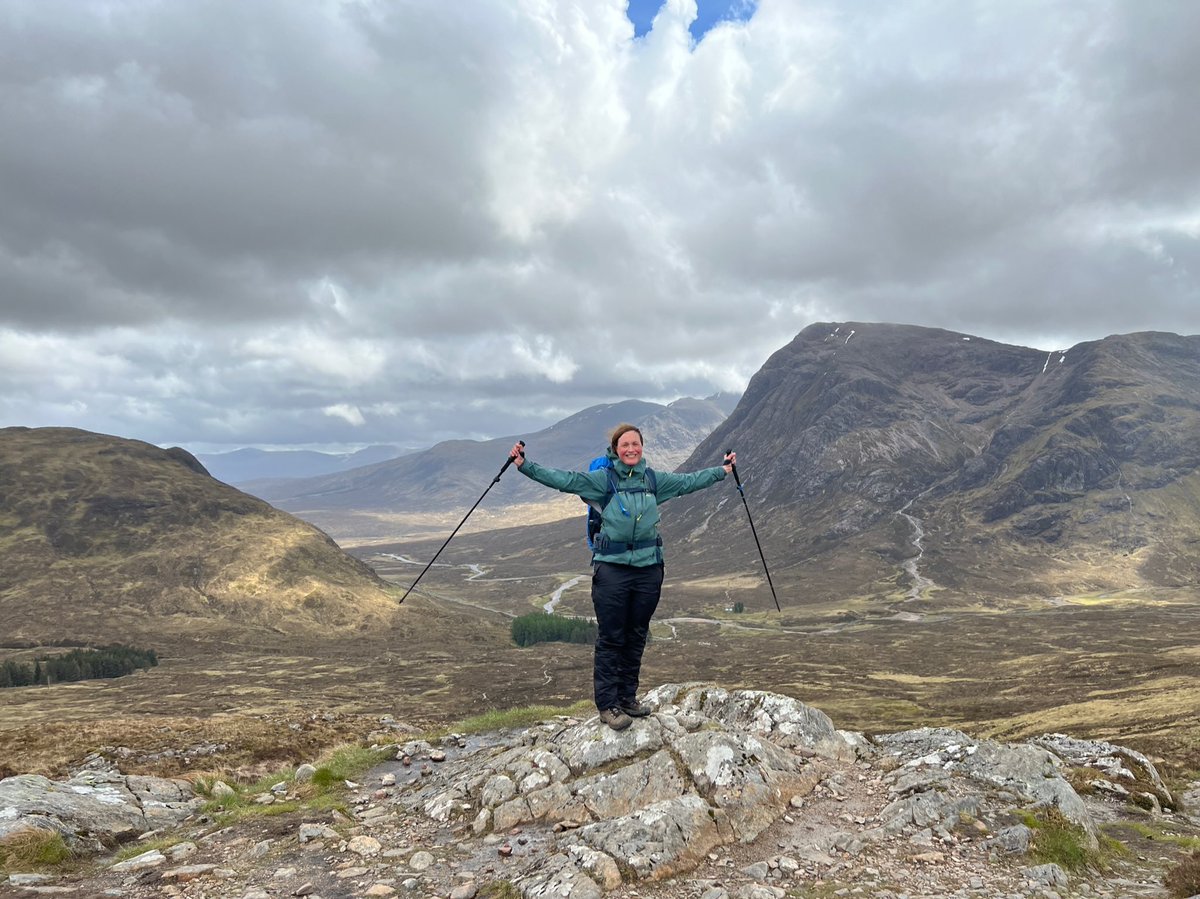
Ready to set off down the other side towards Kinlochleven. The sun was really starting to come out for us now. 
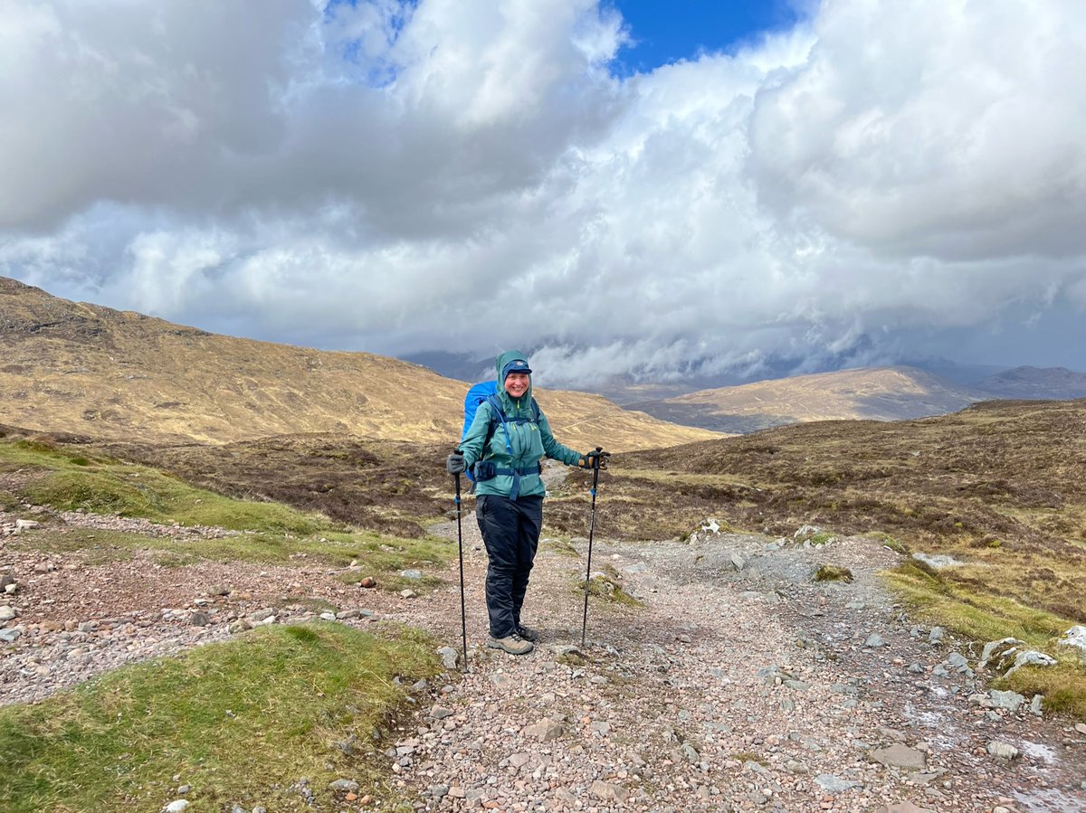
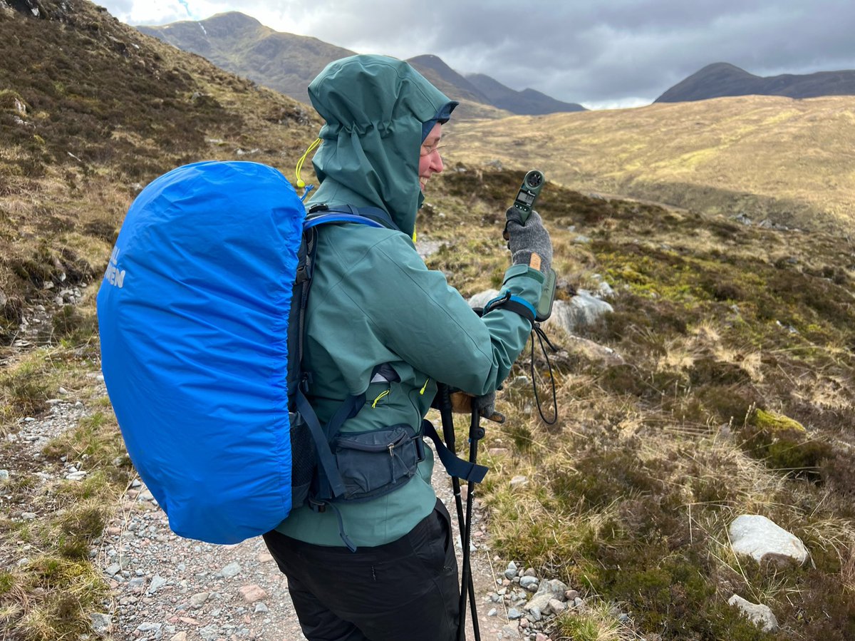
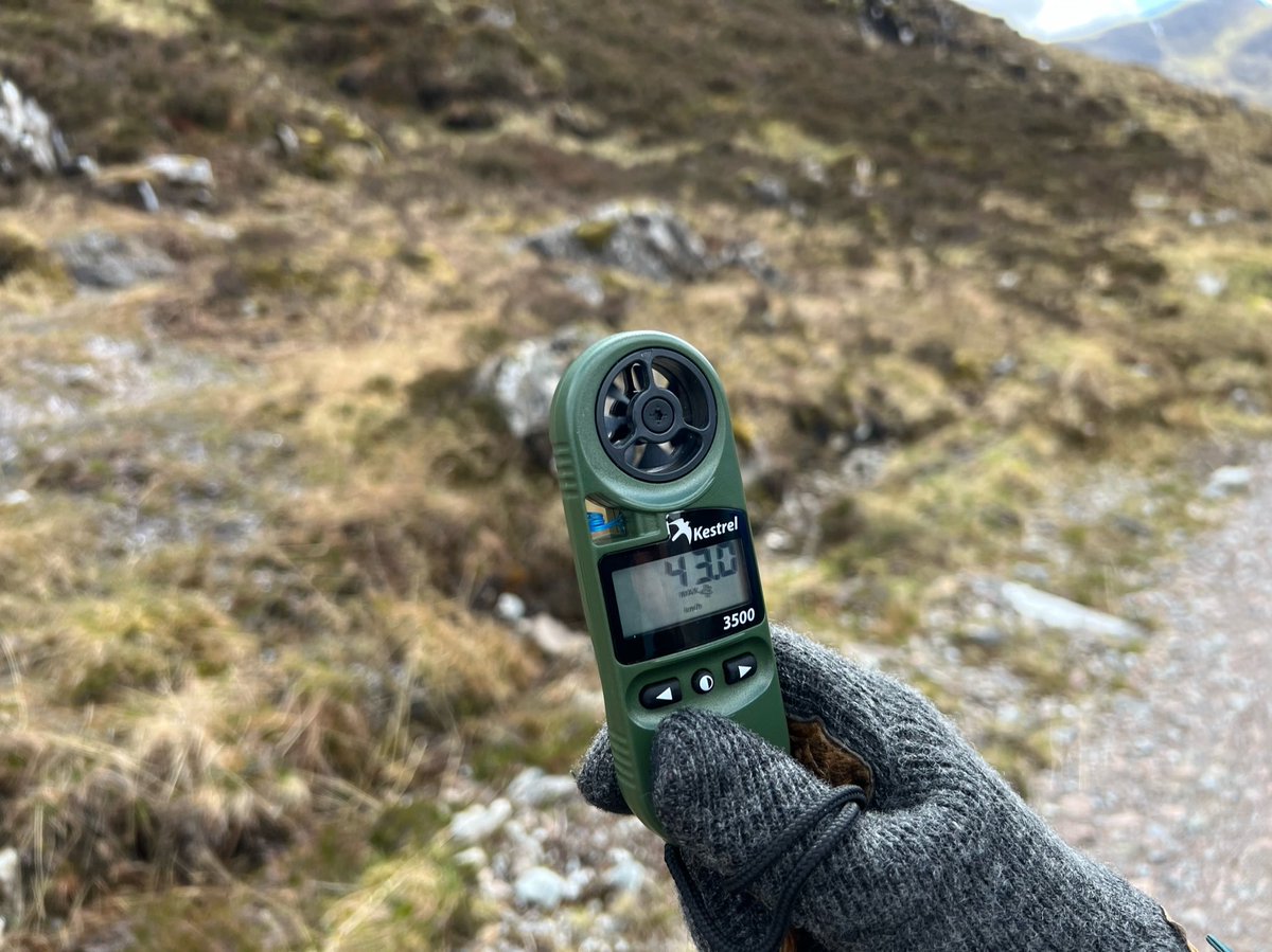
The winds felt really strong at this point so I had to get out my @KestrelWeather and take a reading - 43 km/h max. 

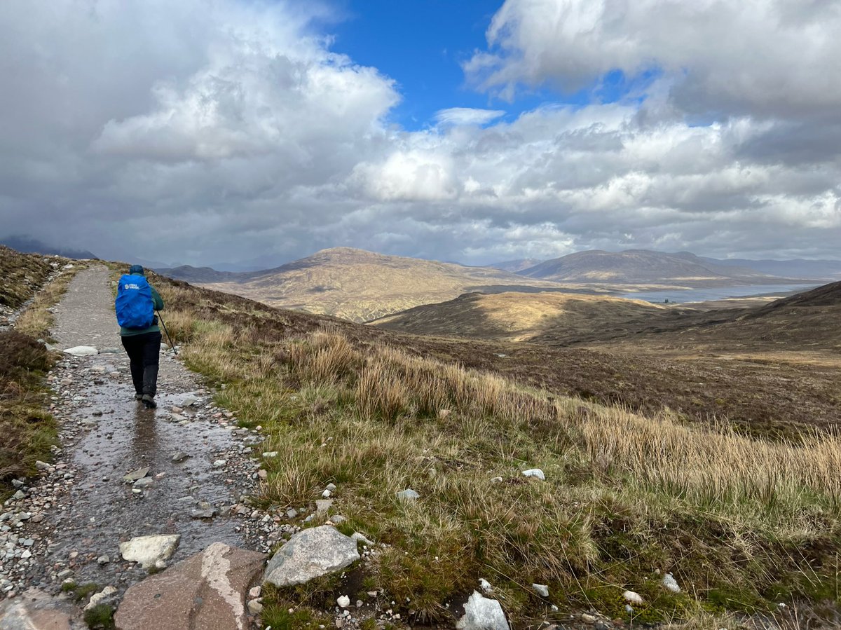
We could see Blackwater Reservoir to our right. The dam is the longest in the Highlands and was completed in 1909. The men who built it lived in a camp on the moor. The nearest pub was Kingshouse and some of them died trying to get back in bad weather after a night of drinking. 
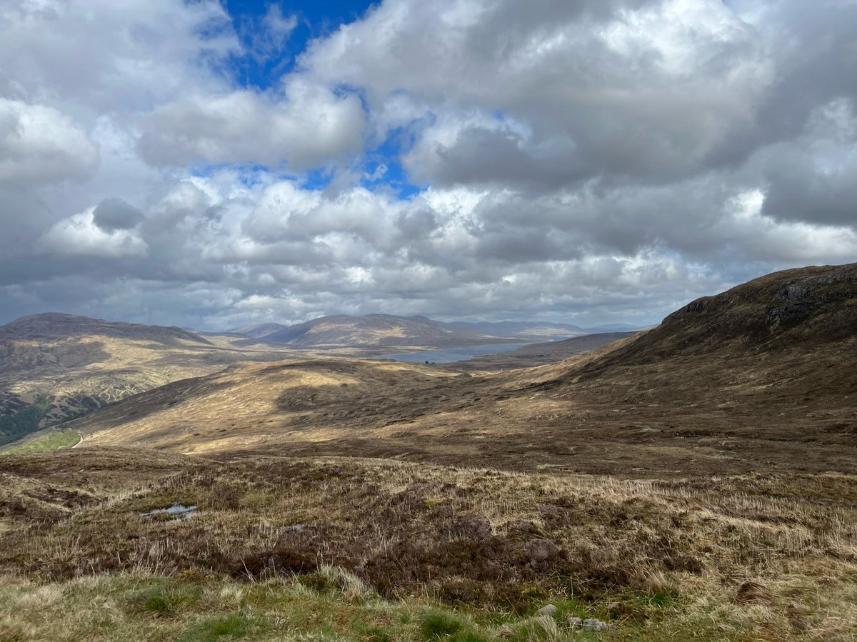
The reservoir is over 13 km long, and was built to provide the electricity needed to operate the aluminium smelters at Kinlochleven. 
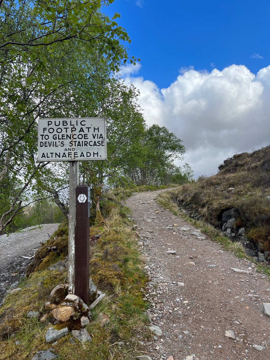
There was an old rights of way sign here pointing back the way we’d come @ScotWays 
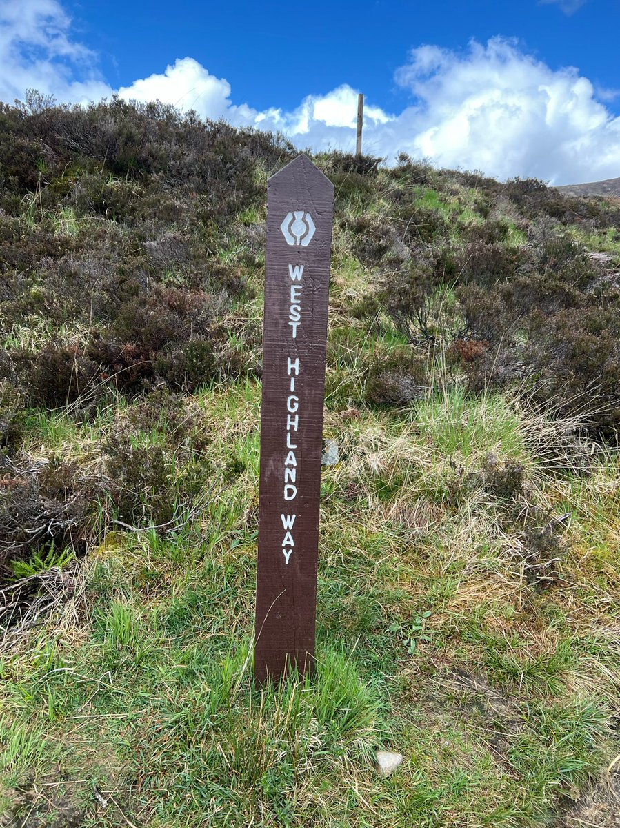
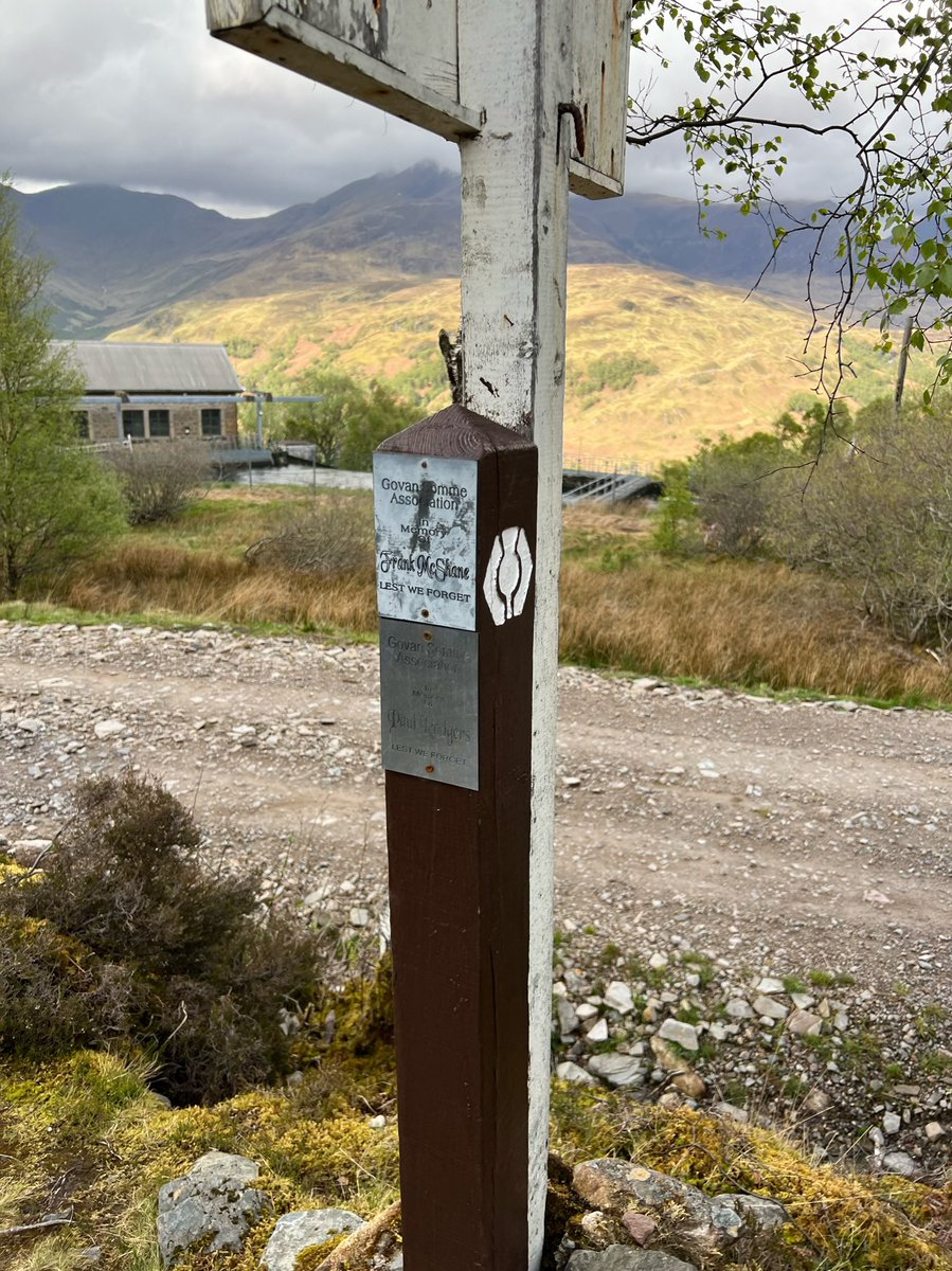
On the @official_whw marker there were some memorials. 
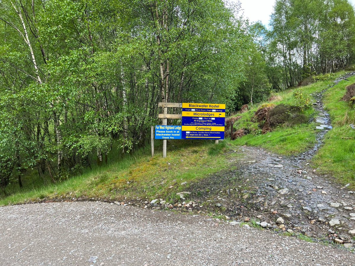
A sign for Blackwater Hostel, where we planned to camp - almost there! We didn’t take the shortcut though… 
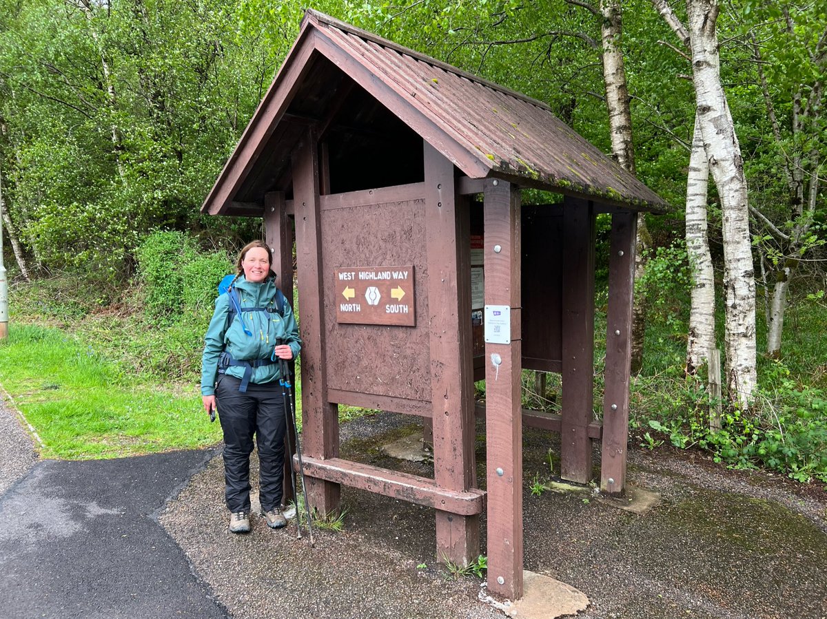
At the end of the riverside trail we were excited to see this cute #WestHighlandWay shelter. 
We crossed back over the River Leven and walked past the Ice Factor climbing centre and River Leven Ales brewery, both based in the former aluminium smelter. 


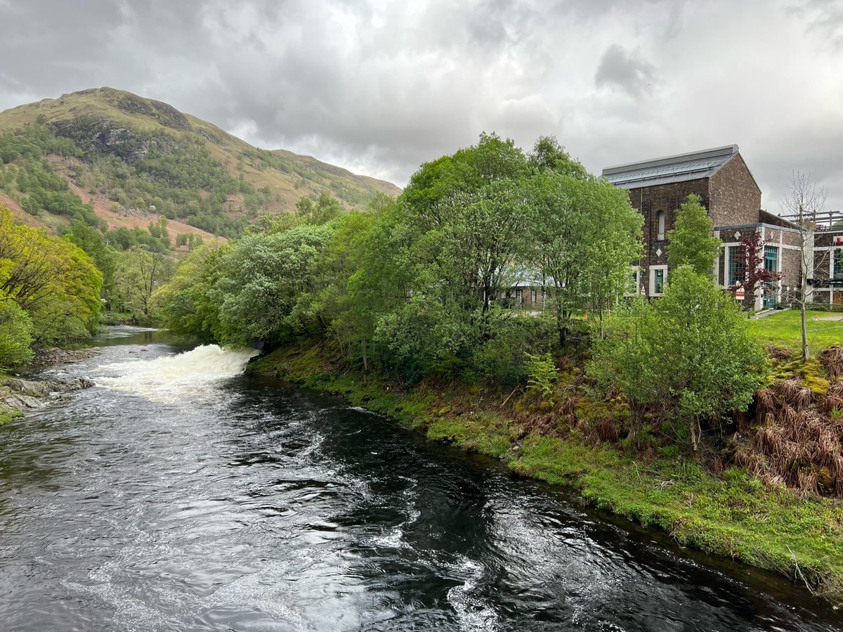
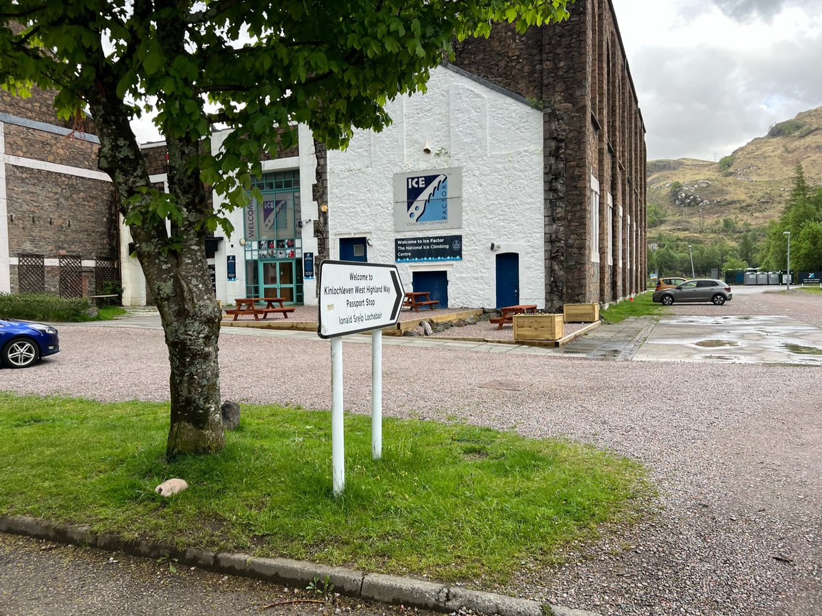
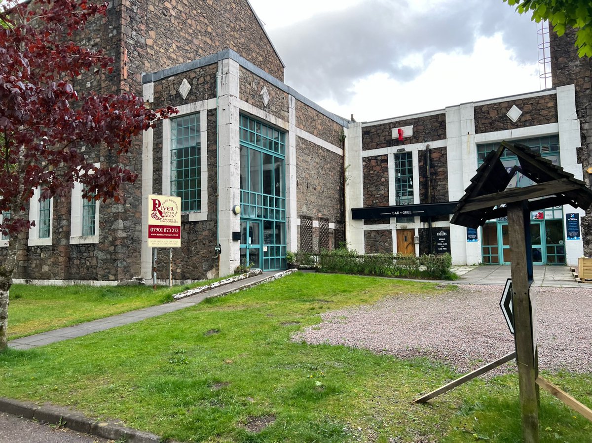
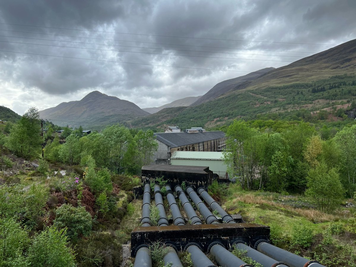
We passed the tail race - a channel of fast-flowing water coming from the hydro electric scheme which is at the end of the track by the campsite. 

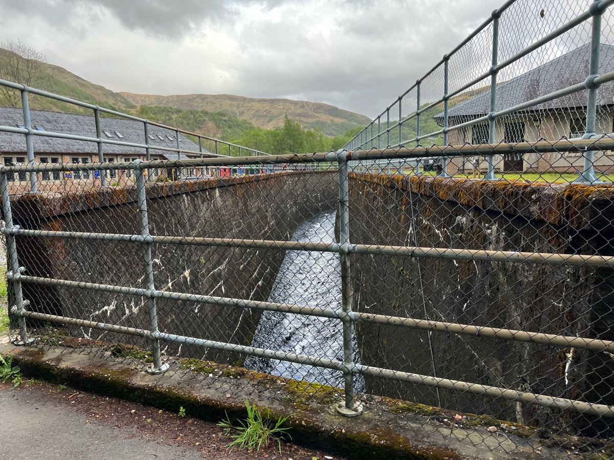
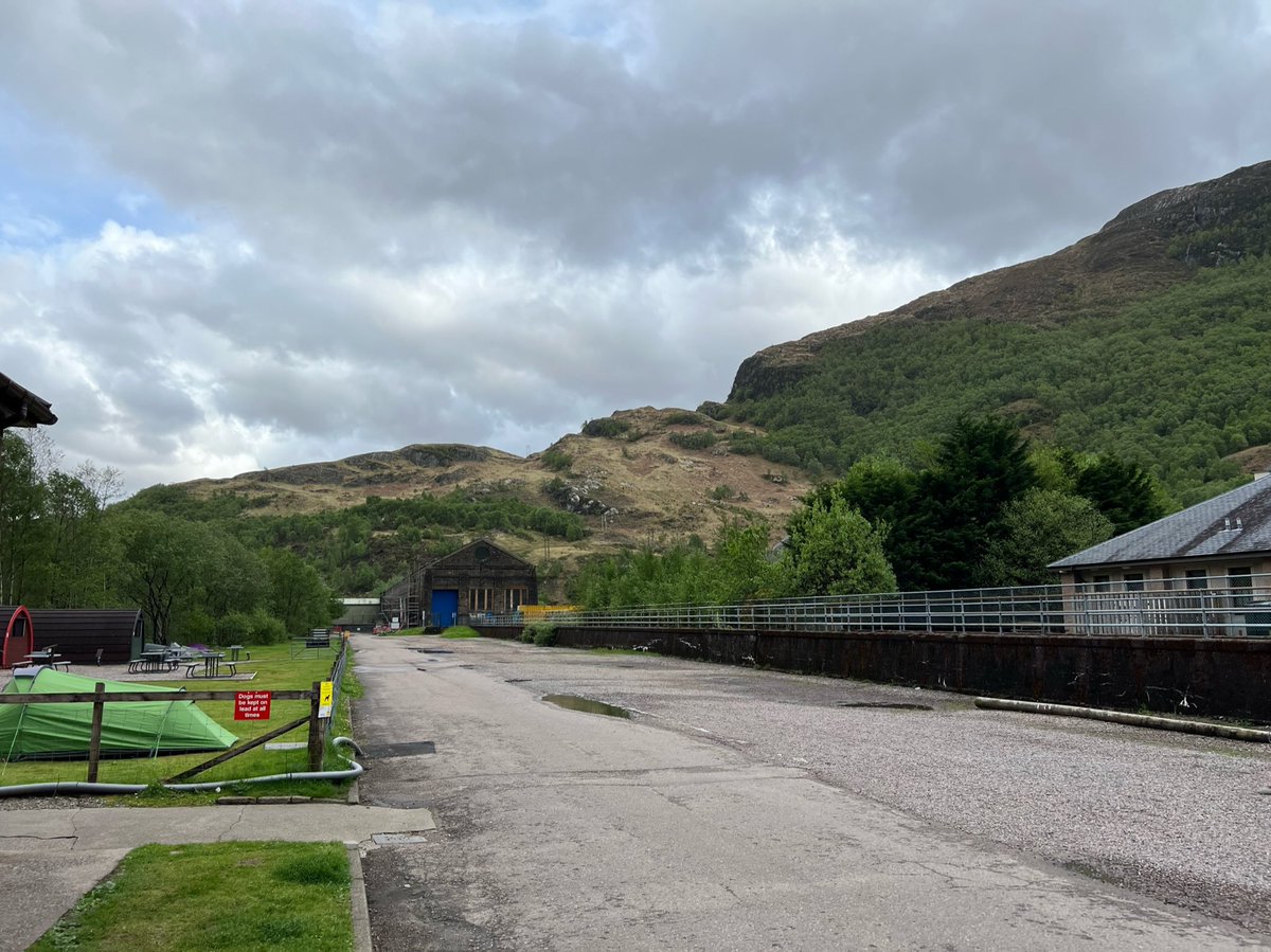
The campsite is attached to Blackwater Hostel and we were welcomed at the entrance by the #BlackwaterBear. The hostel building looks as though it also may have been part of the aluminium plant/hydro but I can’t find any info on it. Does anyone know? 


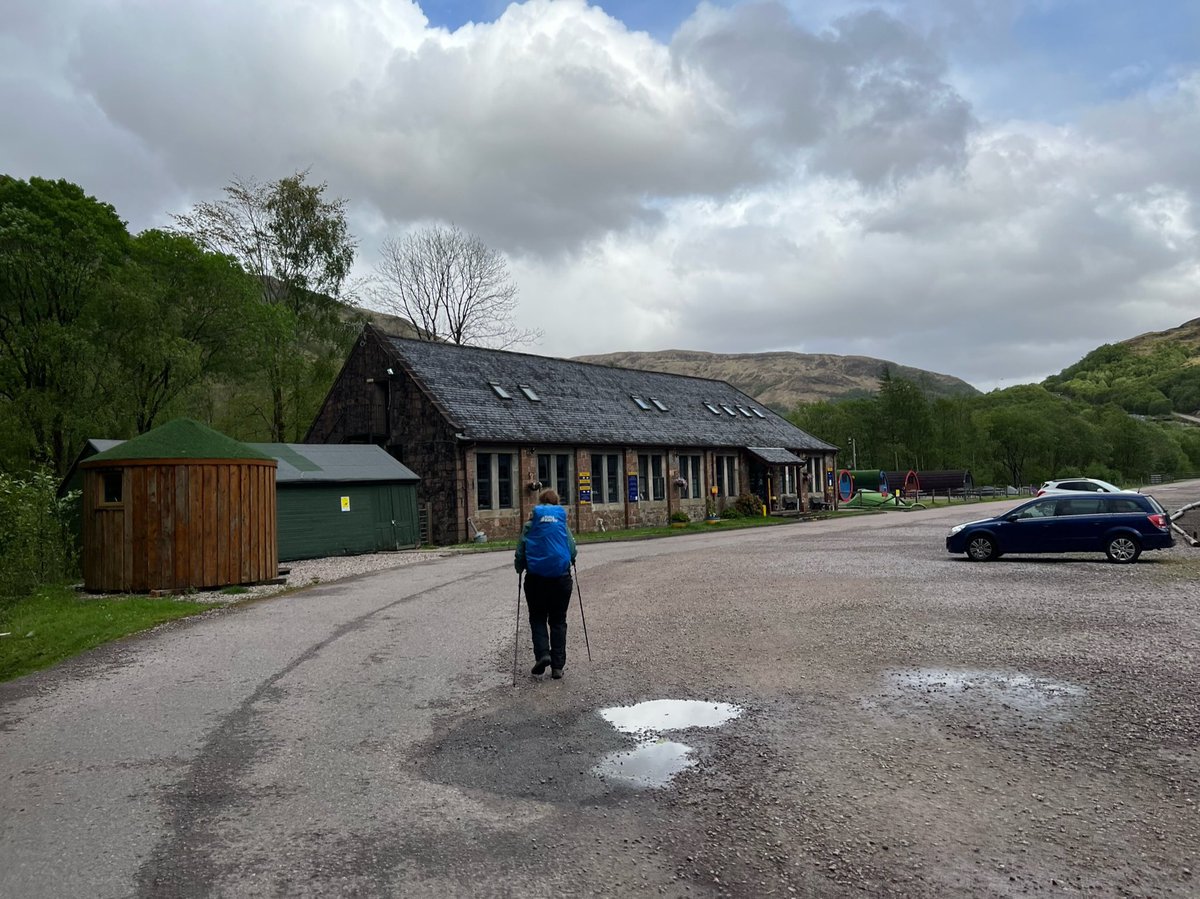
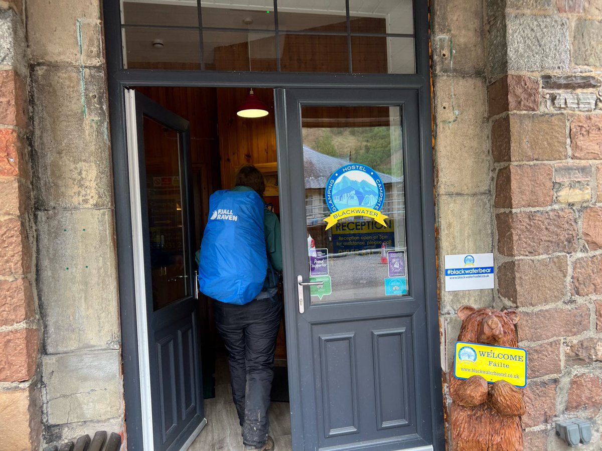
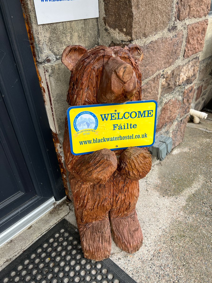
We were surprised to find the site almost empty. We always set off late so had usually been last to arrive in the evening. In fact our late departures and arrivals had become a bit of a running joke amongst other hikers we’d met on the trail. So we wondered where everyone was. 
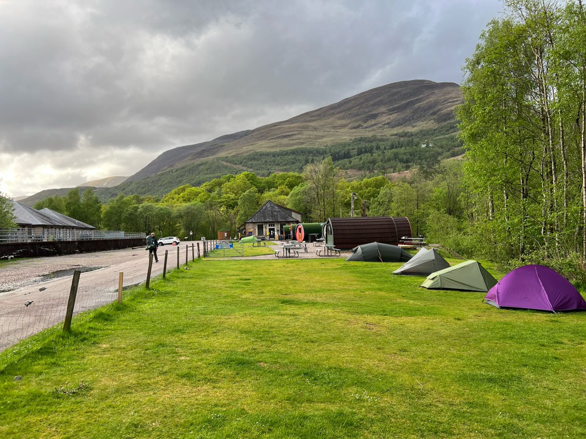
We pitched our tent at the far end of the campsite by the riverside. I love falling asleep to the sound of flowing water.
In a bed, in a bed
By the waterside I will lay my head
Listen to the river sing sweet songs
To rock my soul
In a bed, in a bed
By the waterside I will lay my head
Listen to the river sing sweet songs
To rock my soul
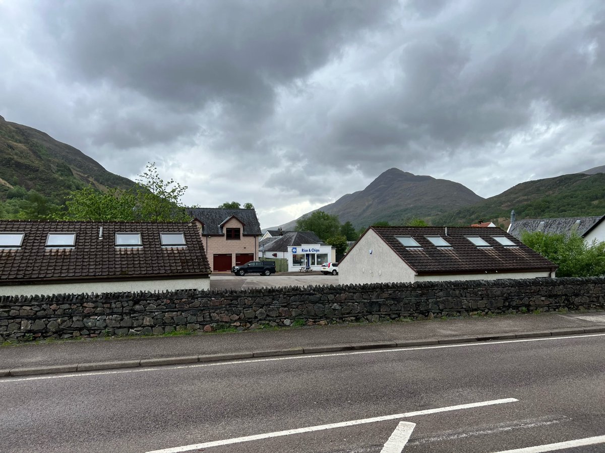
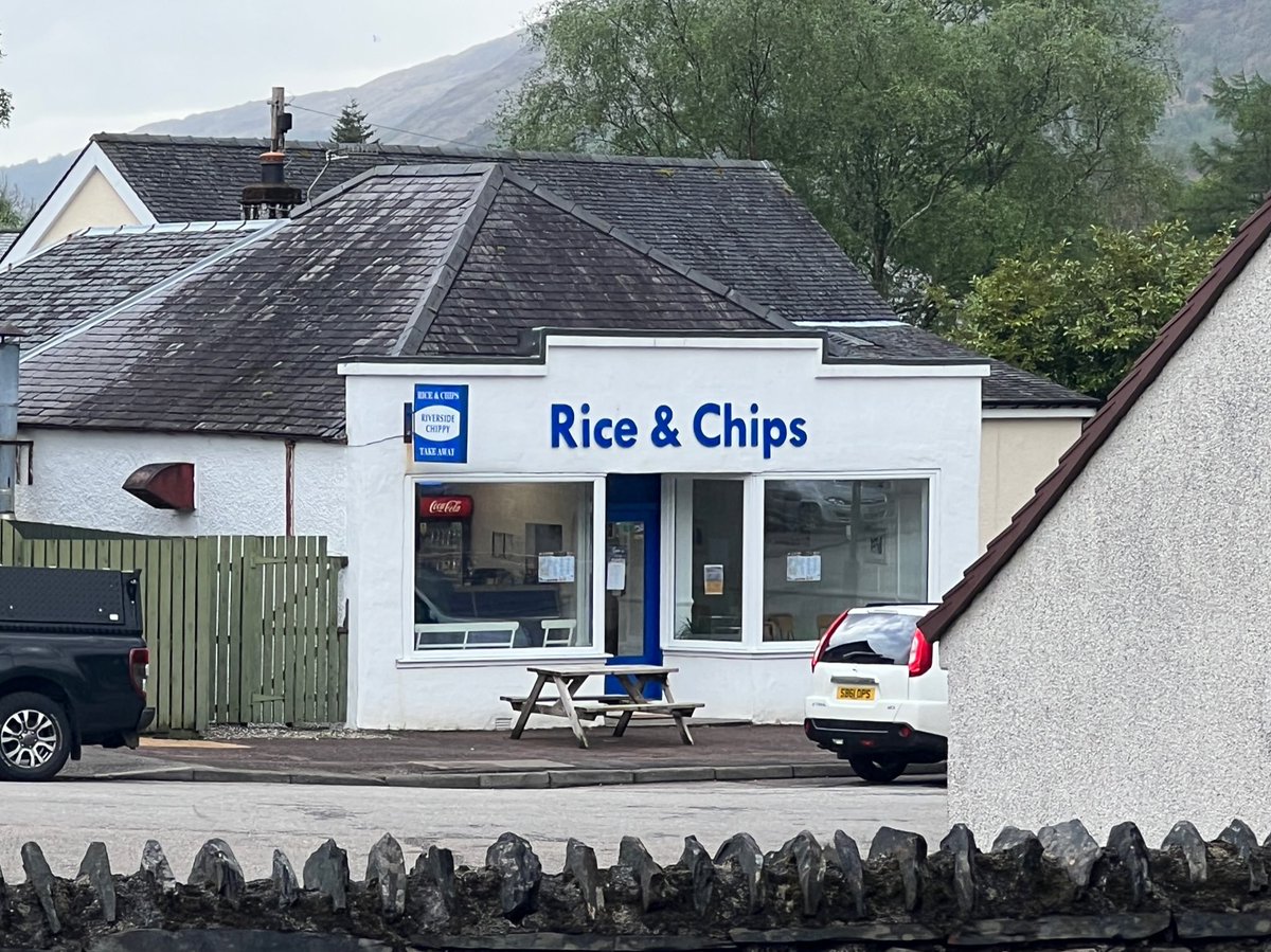
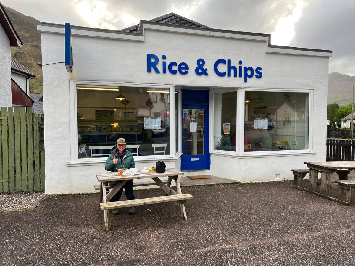
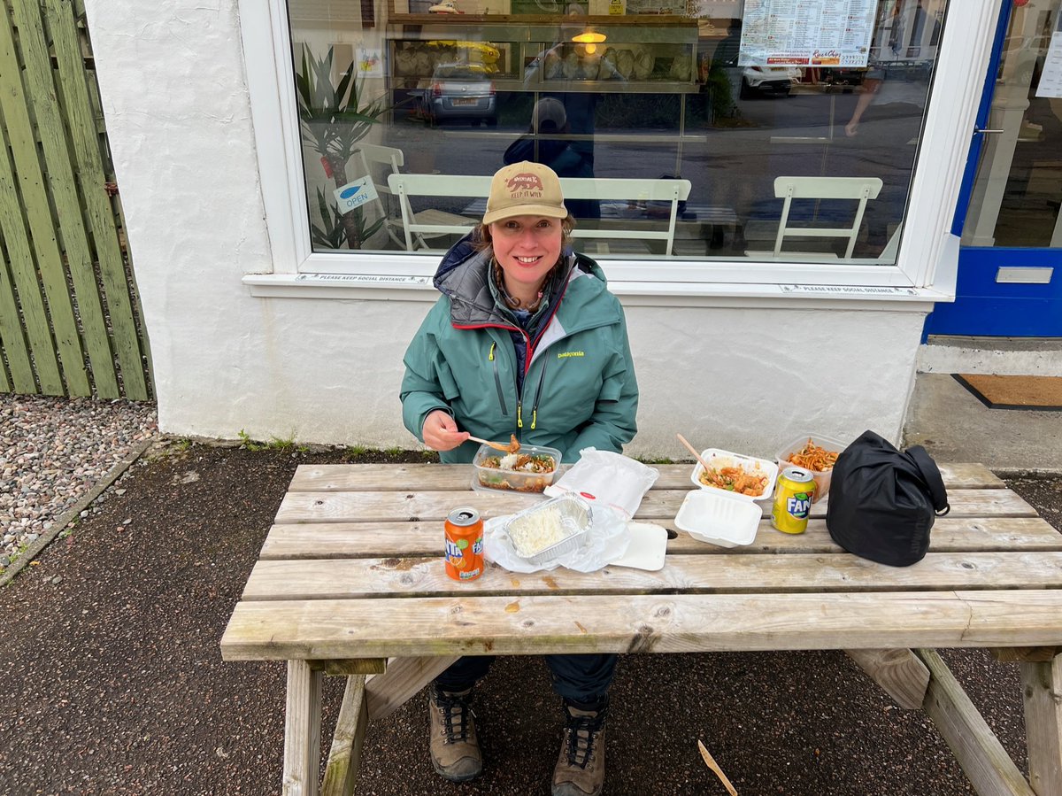
Excited by the prospect of food that wasn’t burgers, chips, or instant noodles, we headed off to the new Chinese takeaway. Love how they’ve kept the old ‘Fish & Chips’ sign but changed it to ‘Rice & Chips’. They were super friendly and the food was really good! 

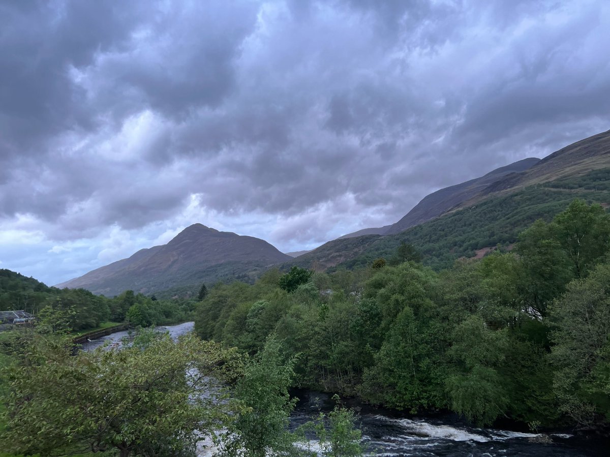
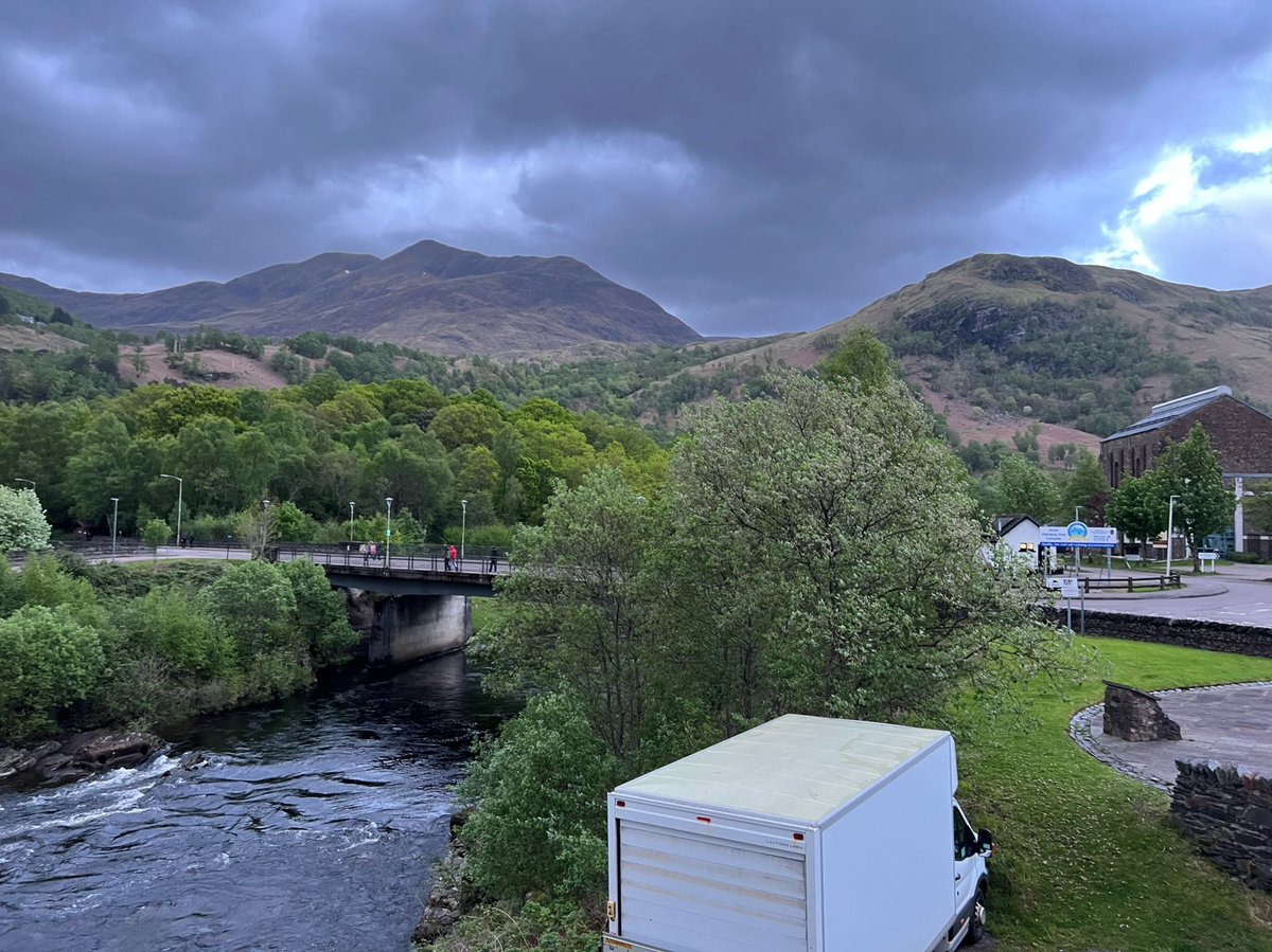
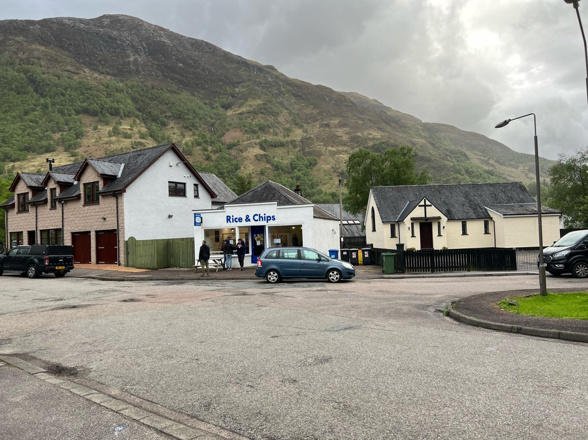
Bonus photo of the takeaway from across the road to show you how amazing the backdrop is in Kinlochleven. Looks like an Art Deco frontage on the building too? 
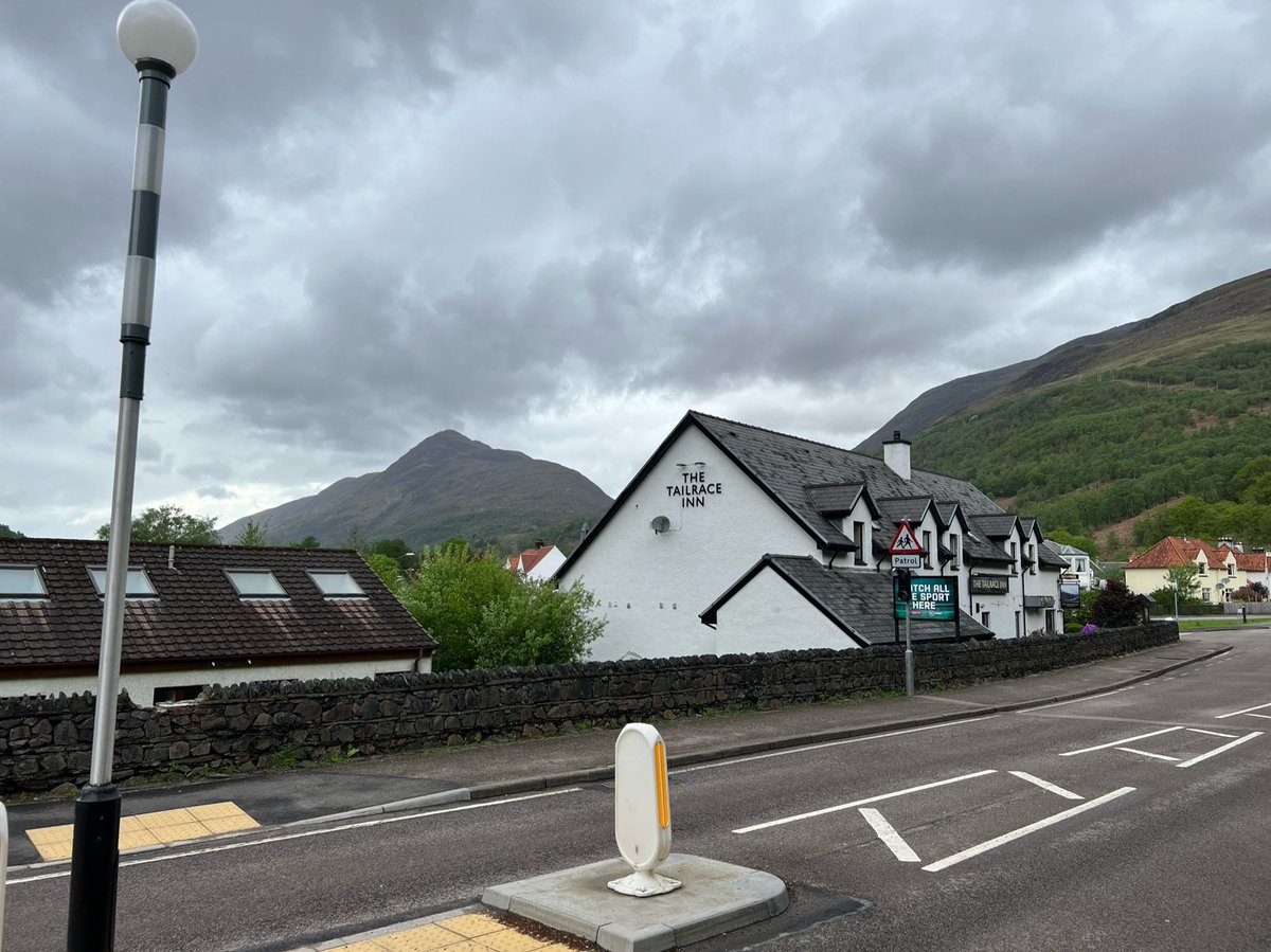
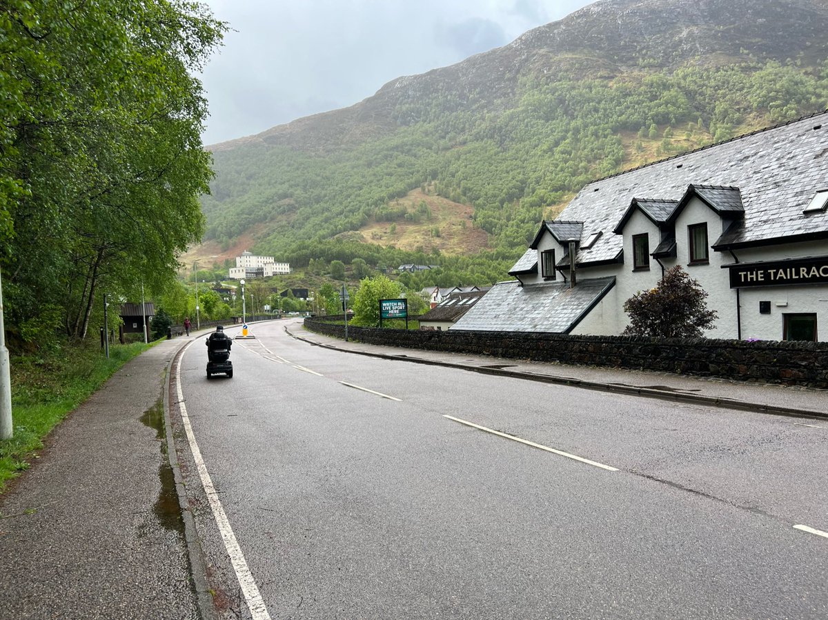
Opposite Rice & Chips is The Tailrace Inn so naturally we had to go in for a pint. It was packed in there and we were standing in a corner with our drinks, when a couple invited us to sit with them. They were doing the WHW too and staying at the the pub that night. 
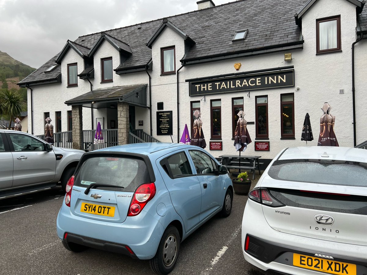
They’d been for dinner at the nearby Highland Getaway Inn and it turned out they’d met a load of our trail pals who were staying there. Apparently they’d been so stressed out by all the rain they’d decided to book rooms to get some respite So the campsite mystery was solved. 

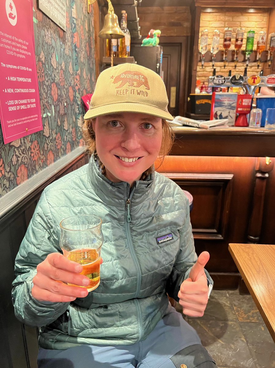
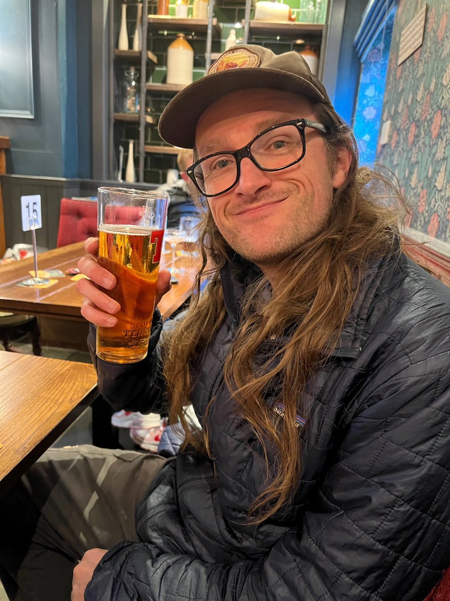
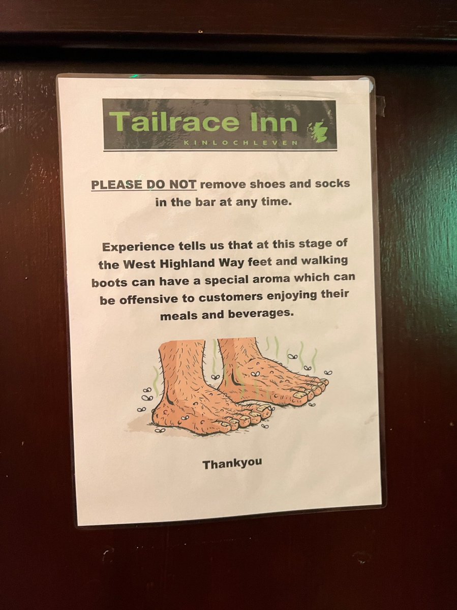
The Tailrace was a great pub and very popular with walkers. Food looked good too, so will have to come back and sample it. I loved this poster they had up in the bar. 
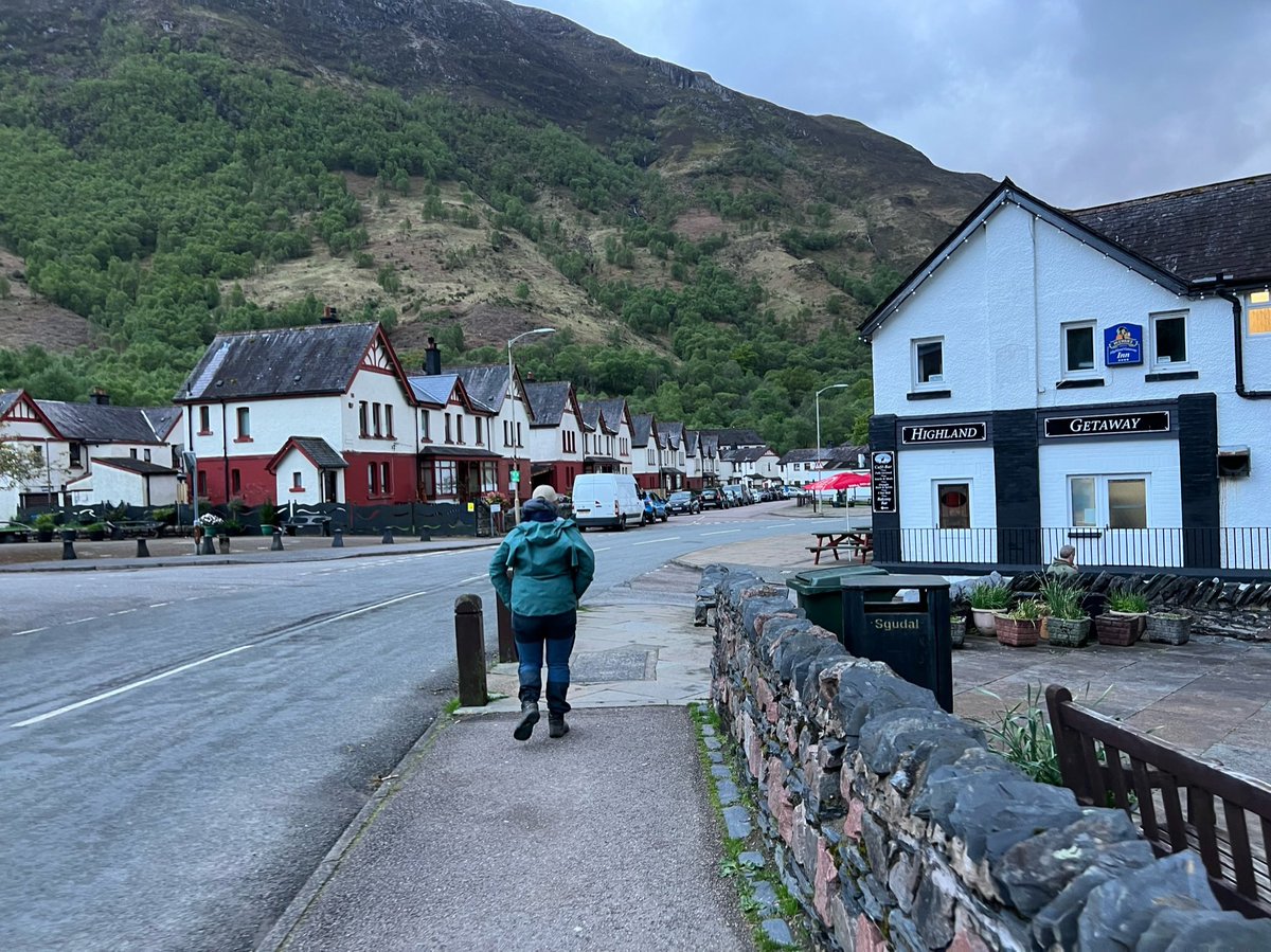
It’s important to try out the different pubs though - for research of course. So we decided to go for a pint in the Highland Getaway Inn. 
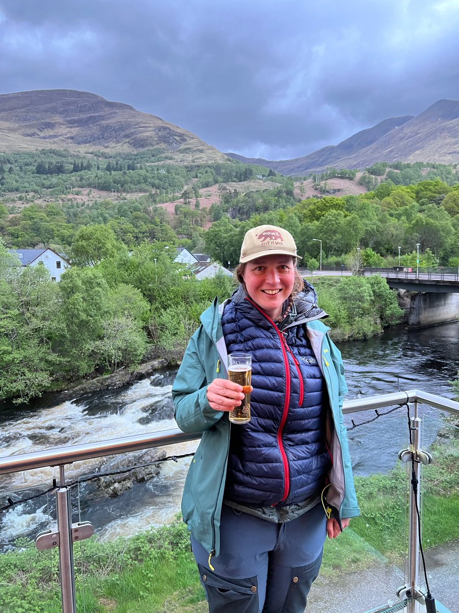
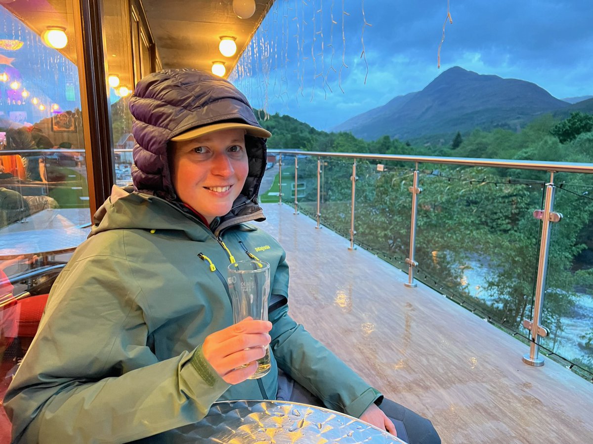
They had good cider so I was happy too! Also glad I decided to pack that extra down jacket at the last minute - essential piece of kit, important for staying cosy outside the pub in the evening. Definitely worth carrying it all that way just for that… 

After that we went back to the tent and fell asleep. It rained a bit in the night but not too much, and by the time I woke up to go to the loo at 5.30am it had stopped. 

🥾 Day 8
Kinlochleven - Fort William, 24.4km
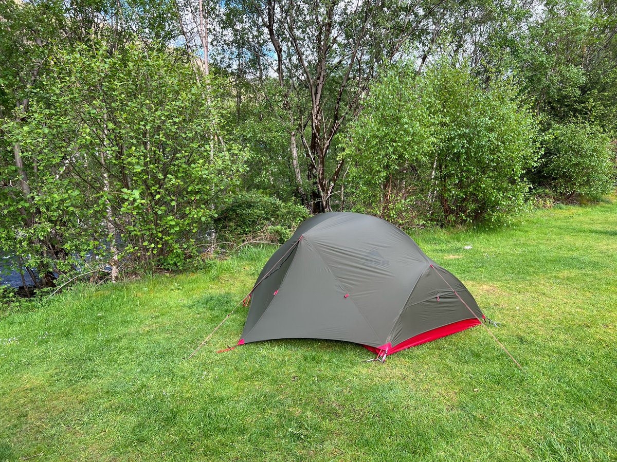
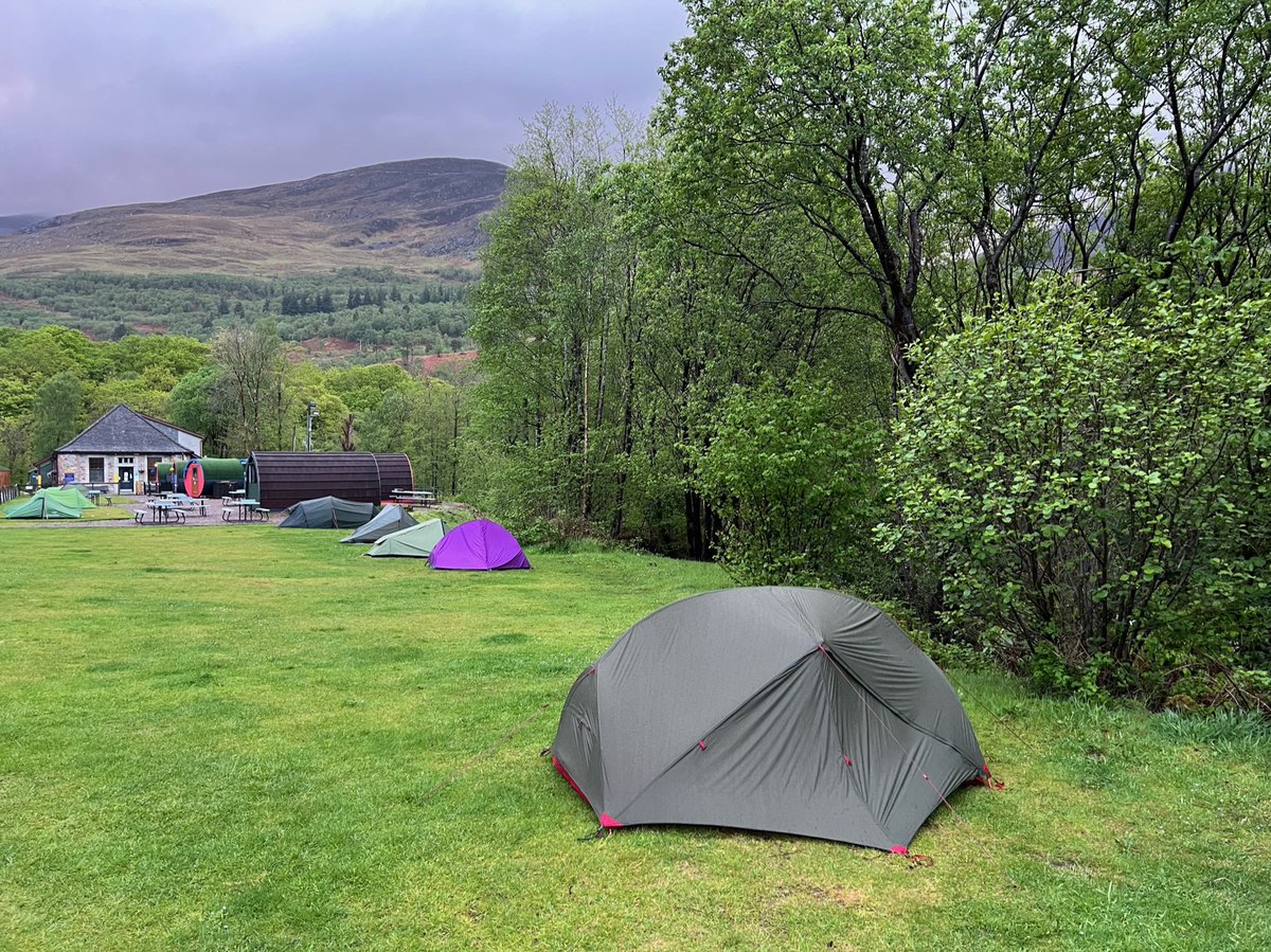
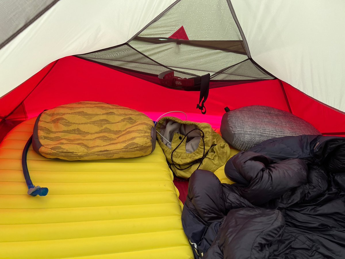
That had been our last night camping, today’s section would take us to Fort William- the end of the WHW. I took this photo of our cosy nest when we were packing up. We’d be sad to leave the trail but we still had a day’s walking ahead.
Kinlochleven - Fort William, 24.4km
That had been our last night camping, today’s section would take us to Fort William- the end of the WHW. I took this photo of our cosy nest when we were packing up. We’d be sad to leave the trail but we still had a day’s walking ahead.
Before leaving Kinlochleven we went to Mo’s - a new takeaway cafe owned by a lovely woman called Morgan. You can tell she’s put so much love into it and she’s done a great job. 


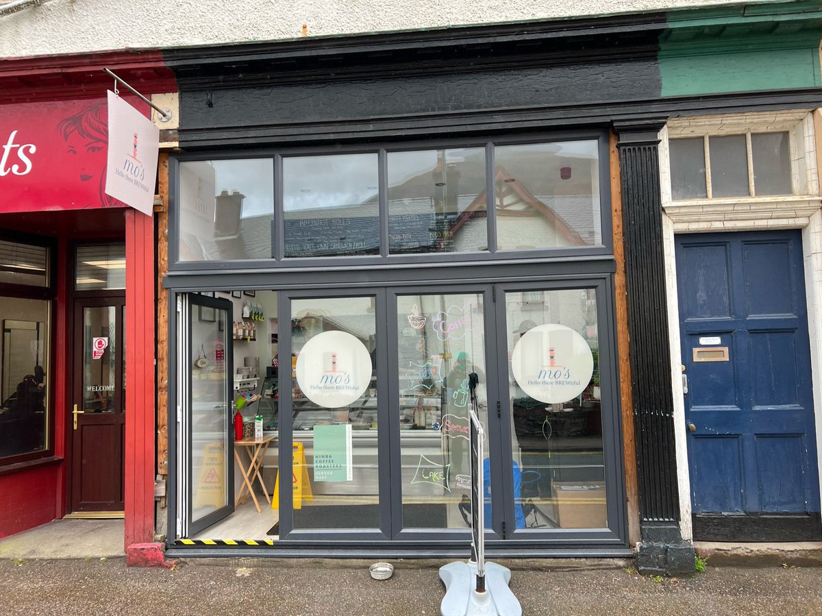
We had delicious breakfast rolls, and we got sandwiches and snacks for the road too. It started raining so she told us to eat inside - you can spy me hiding in the corner. Highly recommend paying her a visit if you’re in the area! 
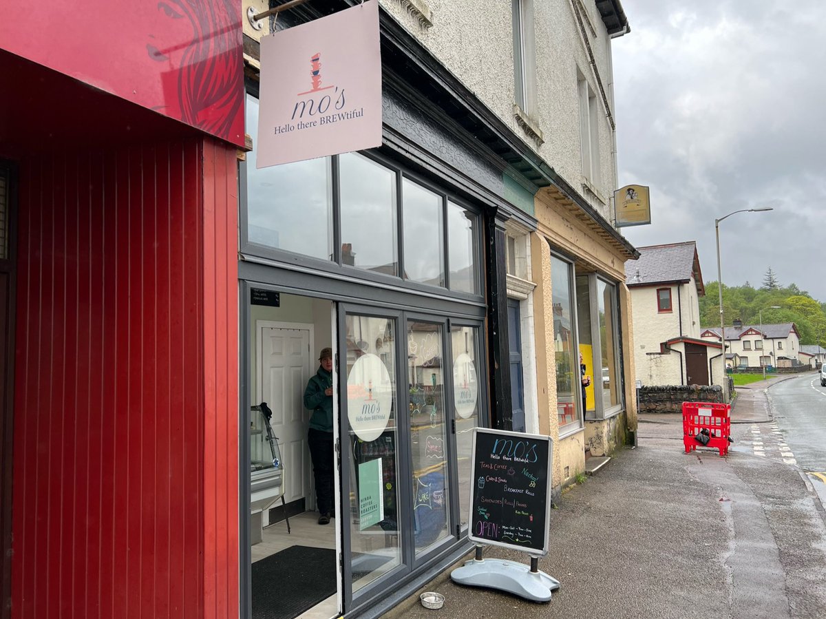
The sun came out and we set off on our way - back across the beautiful River Leven. 11am start - staying true to our trail tradition. Best way to get the path to yourself! 
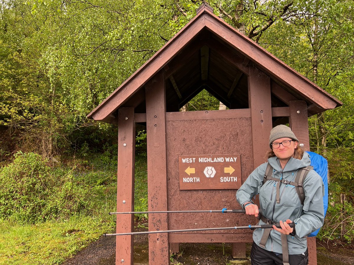
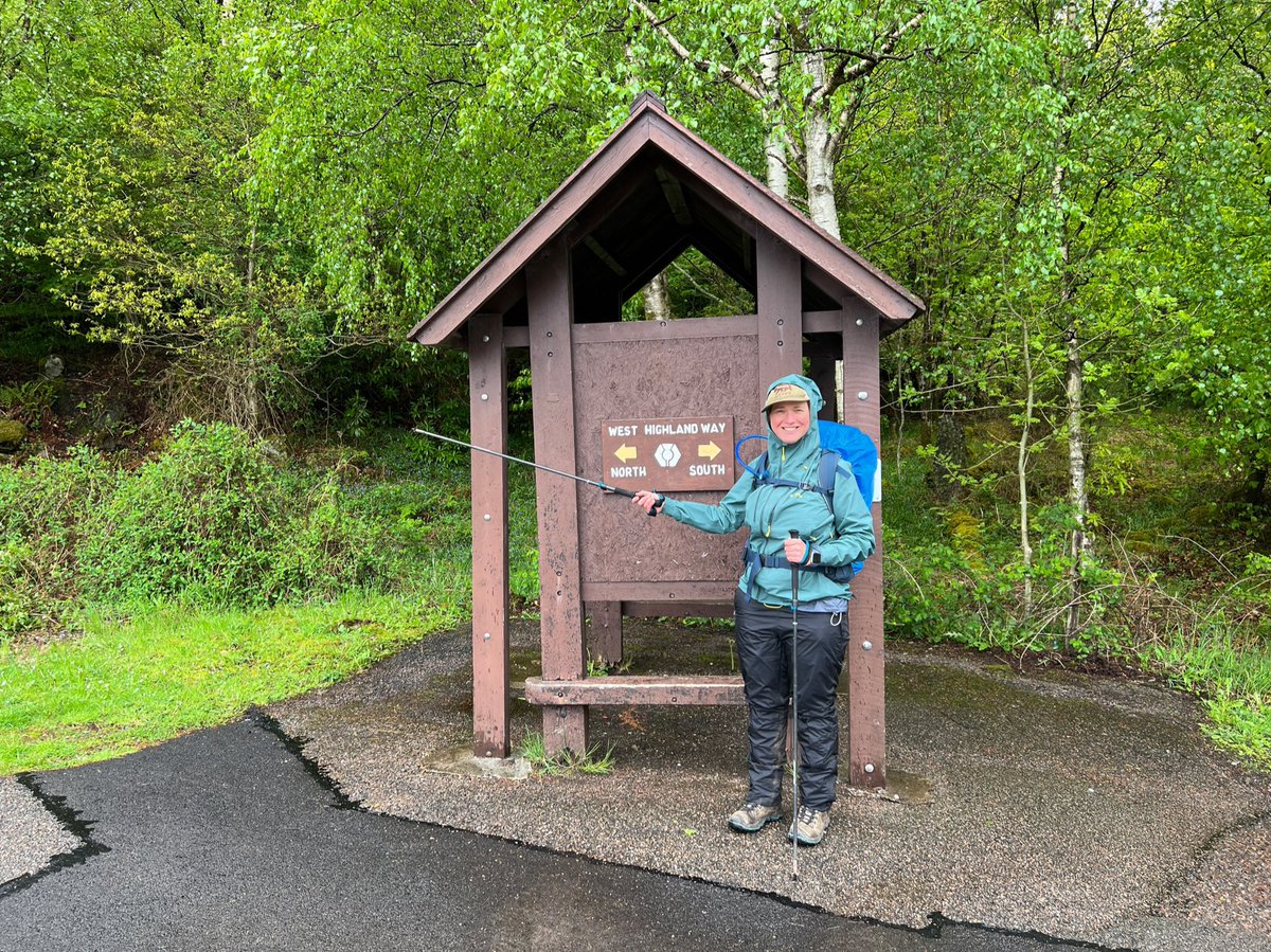
Back on the #WestHighlandWay at the wee shelter 👈👉 

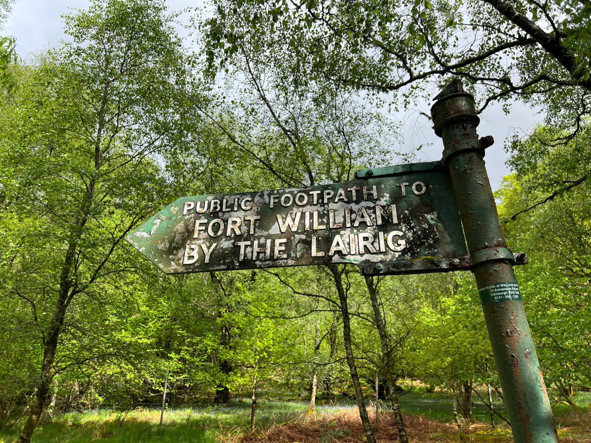
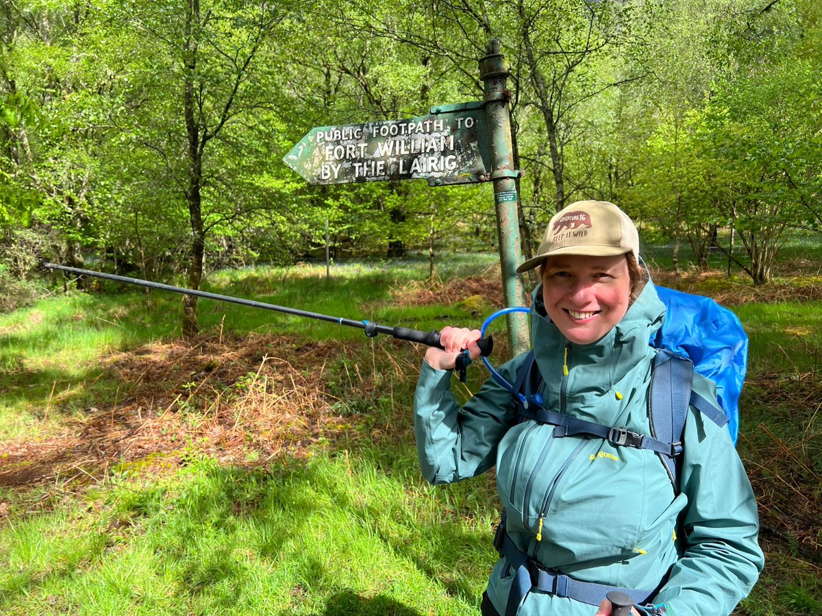
We turned off the road into a birch woodland and saw this beautiful old sign pointing us to ‘Fort William by the Lairig’. Lairig means hill-pass in Gaelic. This sign is from the 1950s but @ScotWays first put a sign there in 1938. 
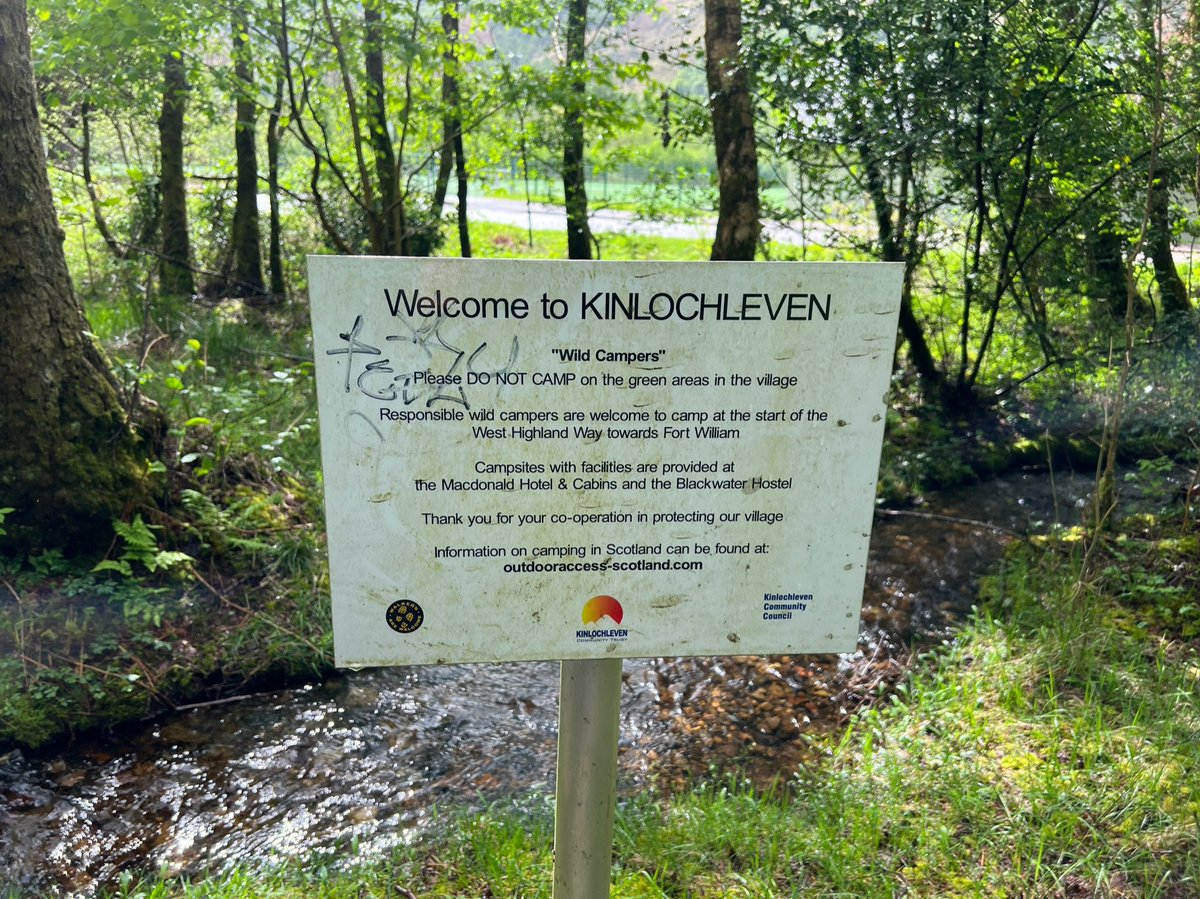
A ‘Welcome to Kinlochleven sign’ asking people to camp responsibly and follow the Scottish Outdoor Access Code. 
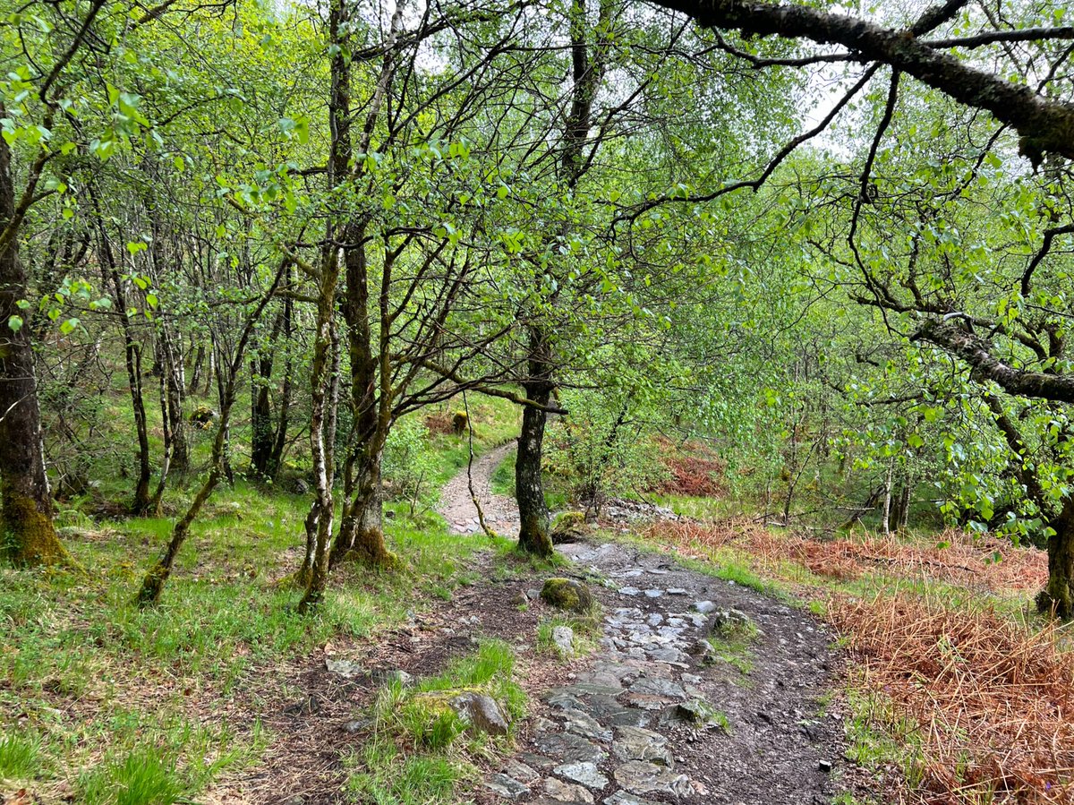
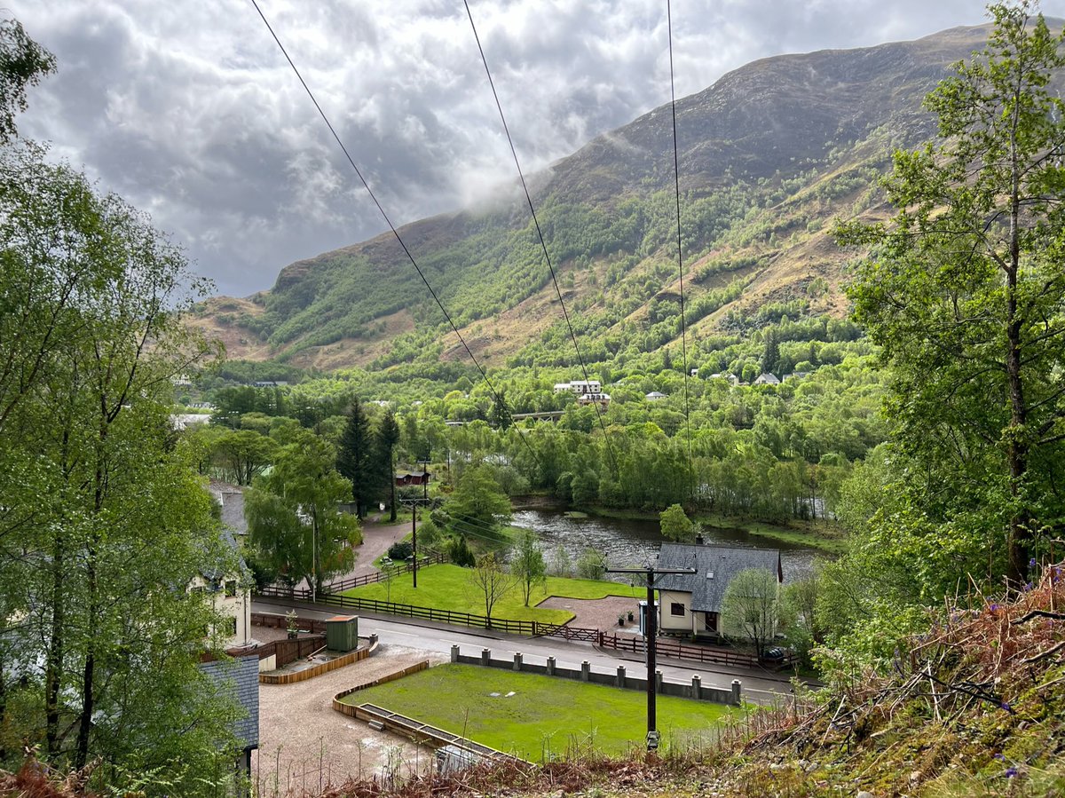
The path was steep! And we were sweltering in our waterproofs. But the woods were wonderful, and when we emerged above the trees we got stunning views of Kinlochleven and Loch Leven below. 


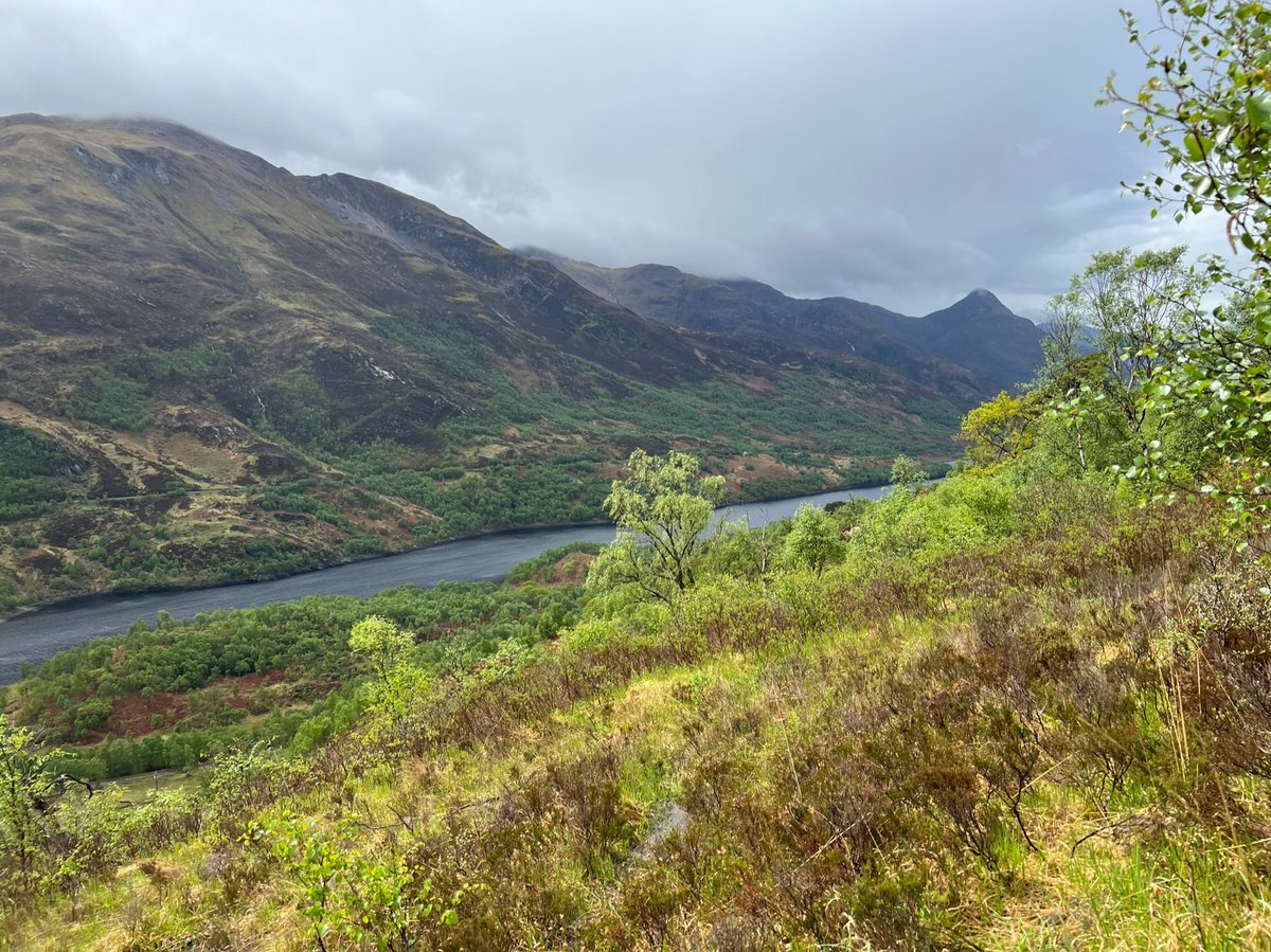
The path then turned into a wide track - once again part of the Old Military Road. Ahead we could see the conical shape of Beinn na Caillich - a subsidiary peak of Mam na Gualainn (a. Corbett which was hidden from our view here). 
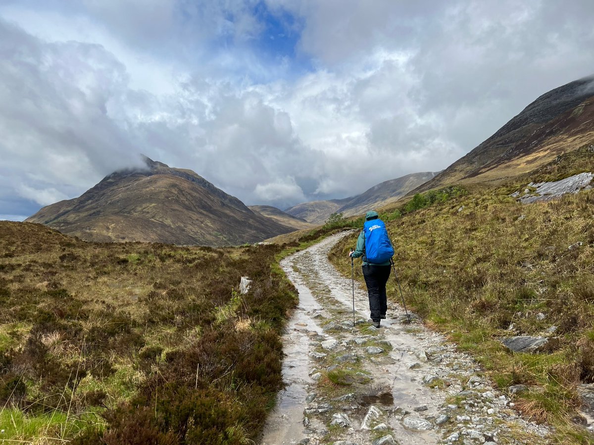
The weather was changing from moment to moment - the blue sky suddenly disappeared and dark clouds started gathering ahead. 


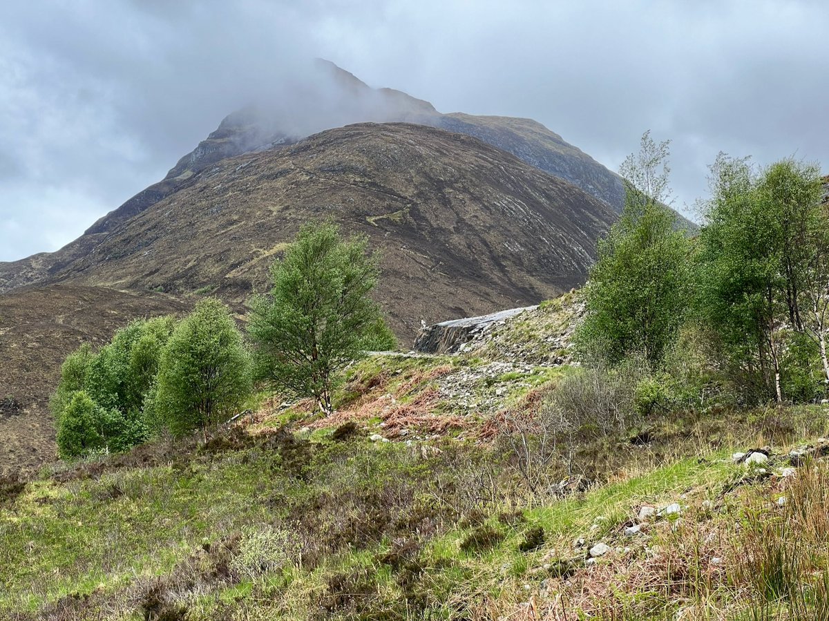
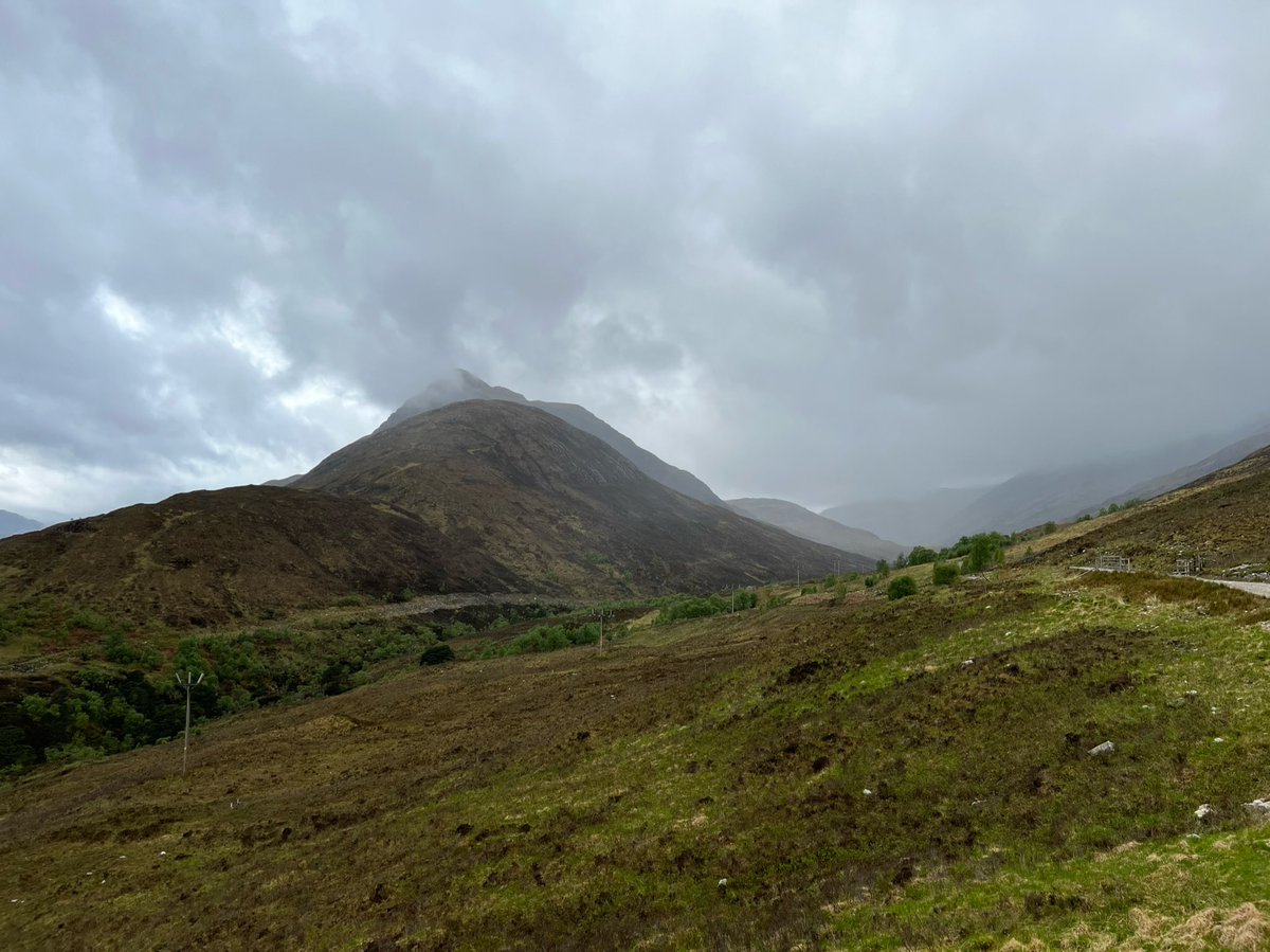
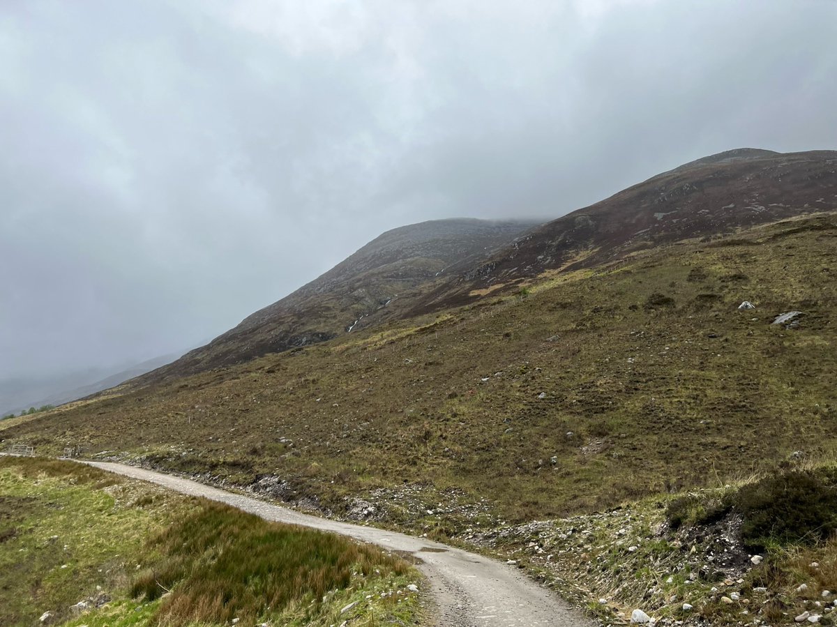
I found this glen eerie and bleak - it had an empty sadness hanging over it. Ahead we could see a ruined croft, which added to the melancholy atmosphere. 
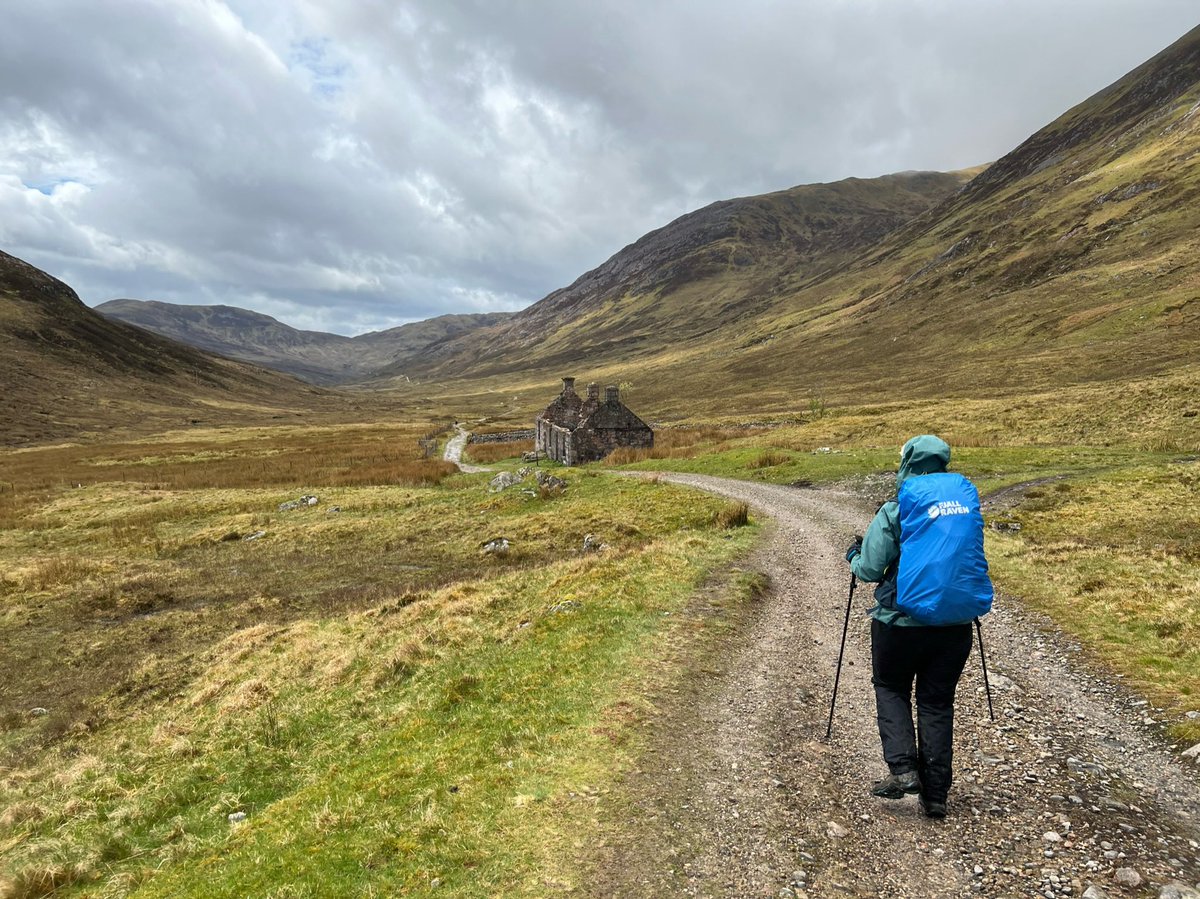
Its name is Tigh-na-sleubhaich which means “house by the gullied slope”. I don’t know the history of this particular building but there are many abandoned places in the highlands because of the Clearances between the mid C18th-19th when people were forcibly evicted by landlords. 
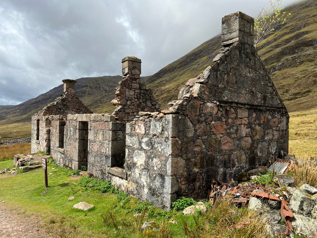
I heard it used to be a bothy until it was damaged by a fire in the early 1980s shortly after the WHW was designated an official route. But I don’t know if that’s right.
Behind the house we could see the Munro Stob Bàn (white peak) at the western edge of the Mamores.
Behind the house we could see the Munro Stob Bàn (white peak) at the western edge of the Mamores.
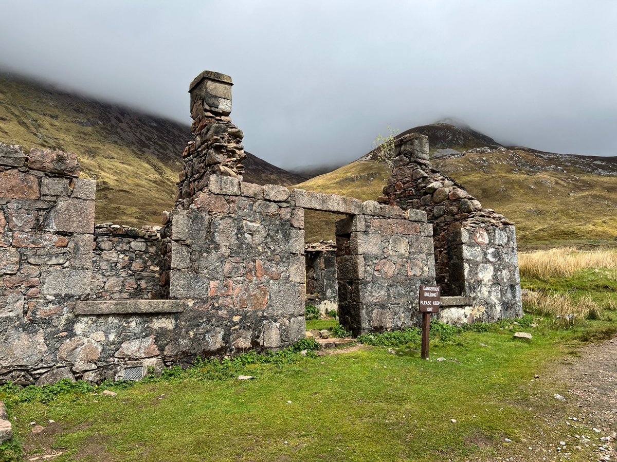
We sat by the ruin to eat sandwiches we’d bought at Mo’s, and a couple of walkers stopped to chat. One was doing the #TGOChallenge - he’d started at Ardnamurchan and was headed to the east coast. The other was visiting from France and was doing WHW followed by the Great Glen Way. 
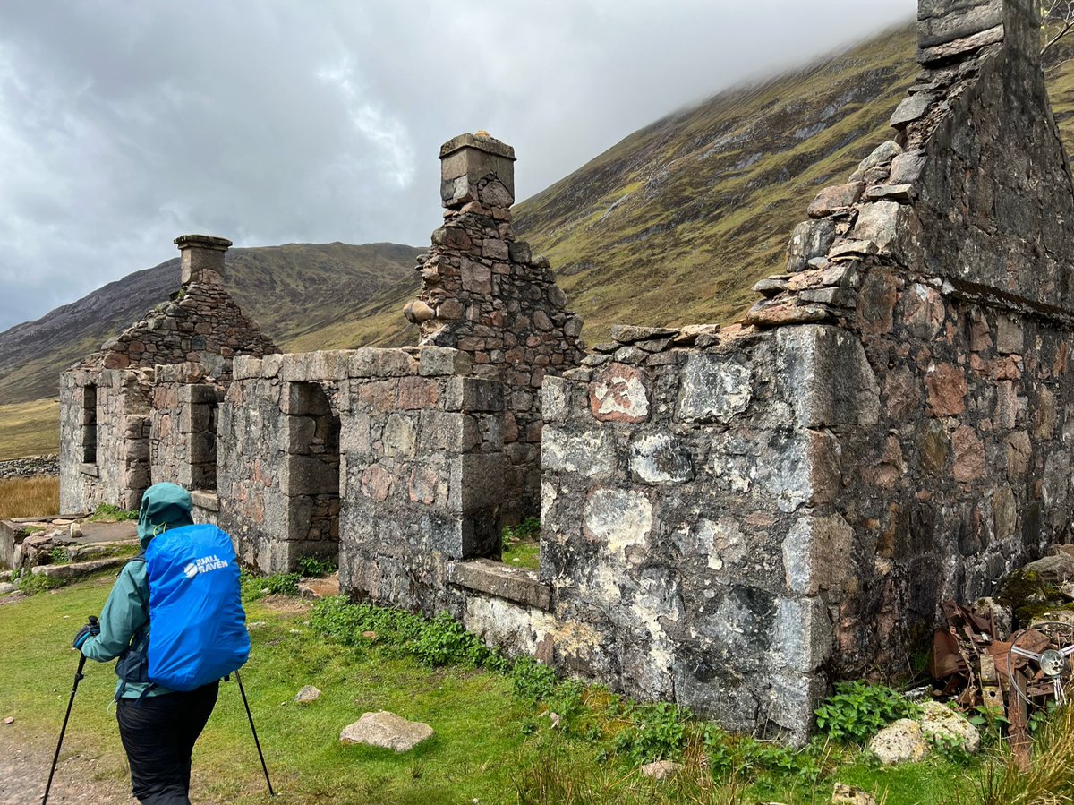
Then we were our way again - the green dot in the distance on the path is the friendly French man who had just passed us. He had a cute toy mascot swinging from his pack that his young daughter had given him when he set off from home. 
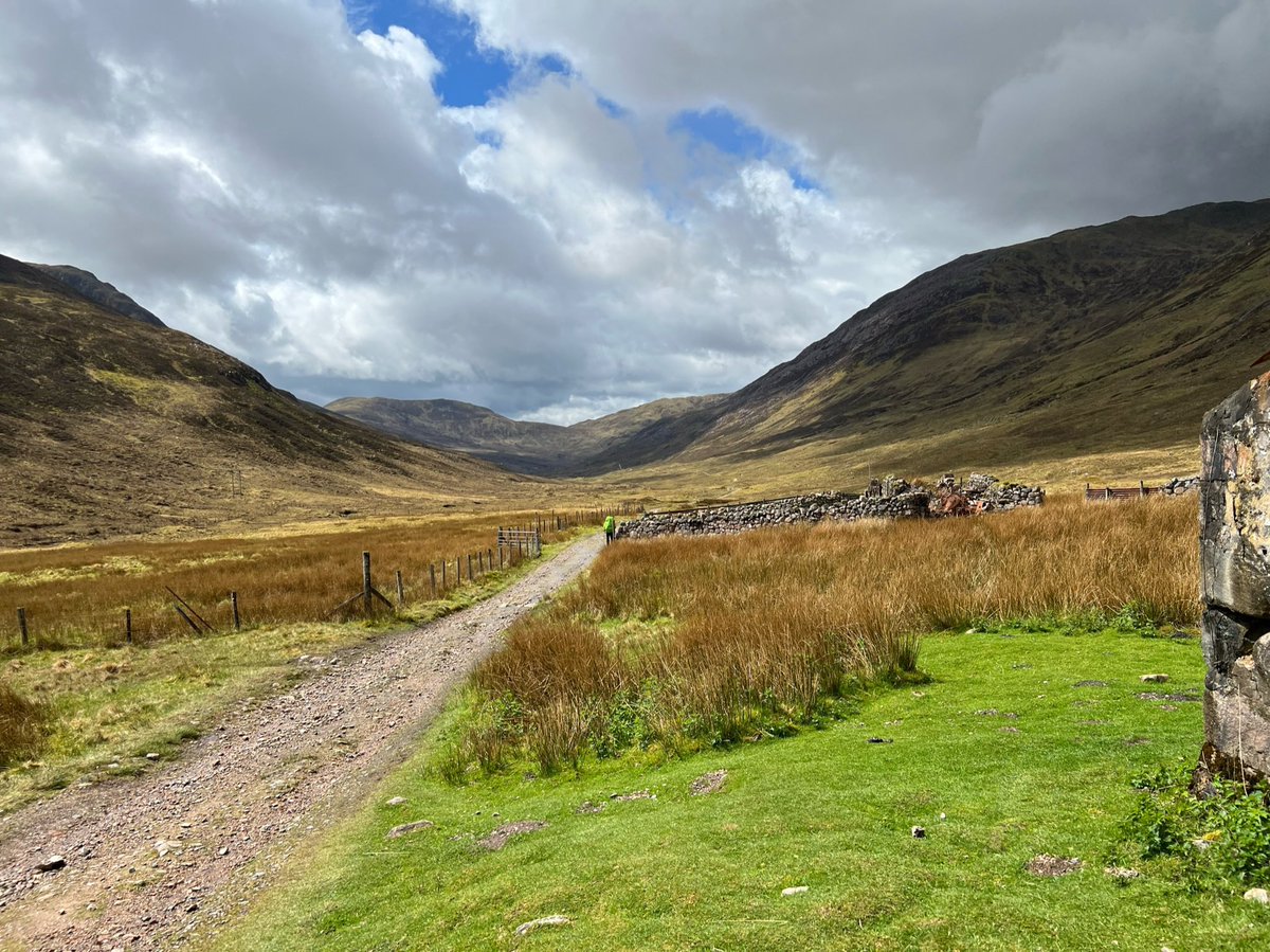
We forded a burn as it crossed the path - I think it’s the headwater of the River Kiachnish - which eventually flows into Loch Linnhe south of Fort William. 
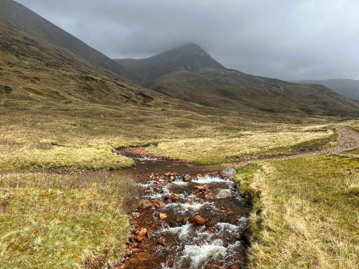
The river officially becomes the Kiachnish further north at Lochan Lunn Da-Bhra, at this point it’s the Allt na Lairige Mòire. We followed it through the glen on the Old Mitary Road. Ahead we could see the ruins of Lairigmor. ‘Lairig’ means pass and ‘mòr’ means great. 
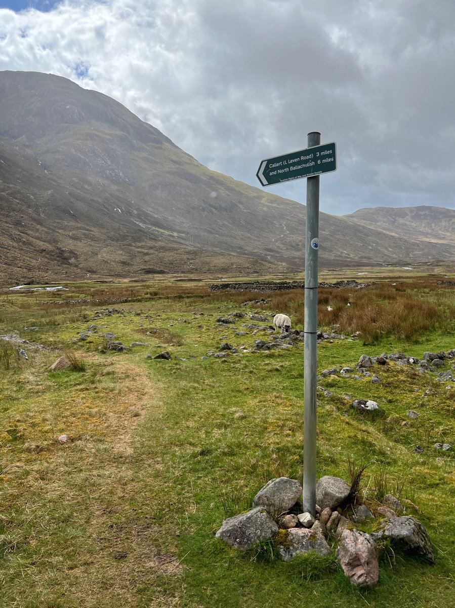
Just before the ruins was a @ScotWays sign for an old drovers route to North Ballachulish - which lies between Lochs Leven & Linnhe. I didn’t realise Ian had taken a photo of me taking a photo of it. Whenever I see a sign like that I’m drawn to follow it. I’ll have to come back! 


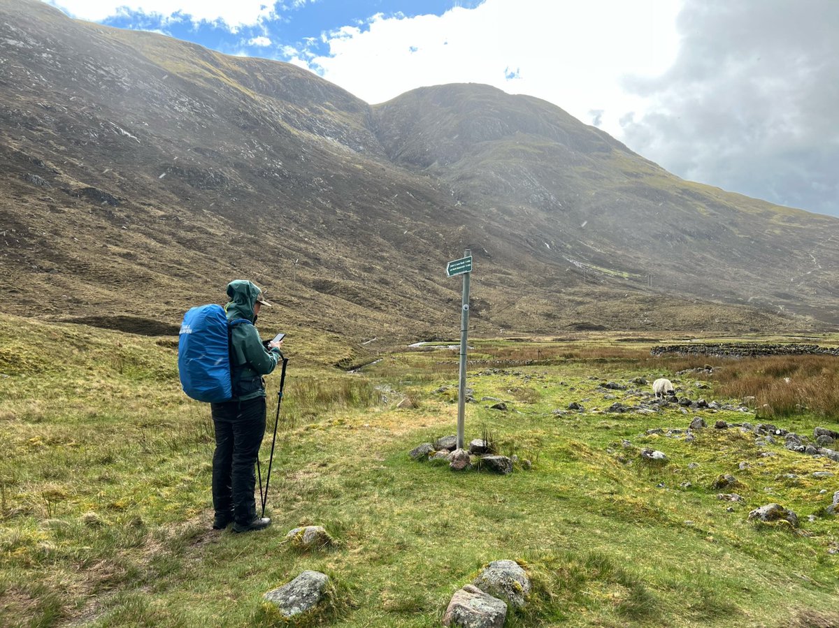
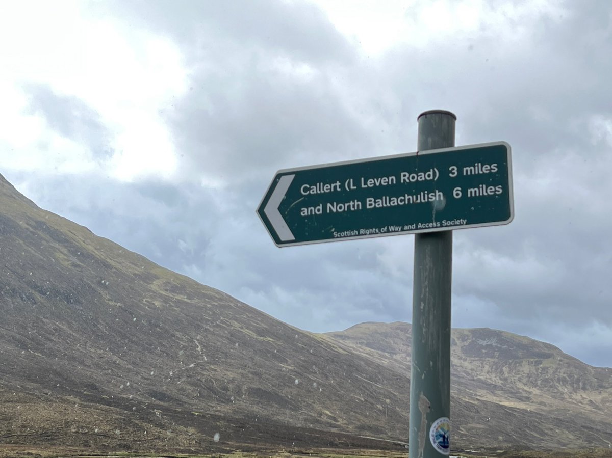
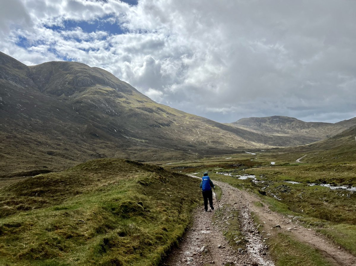
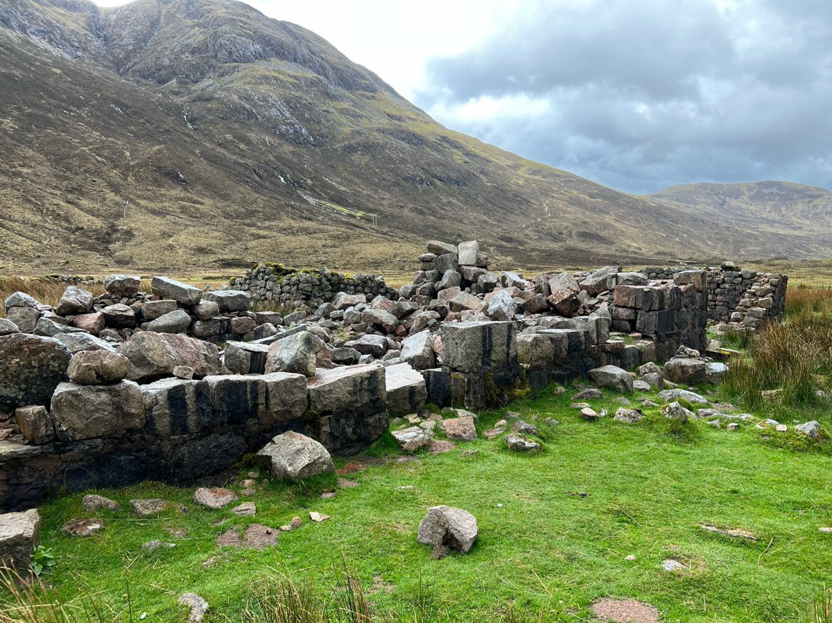
We looked at the Lairigmor ruins and tried to imagine who could’ve lived there and what life was like for them. Were they evicted in the Clearances? Now this glen is empty except for the walkers and sheep. 
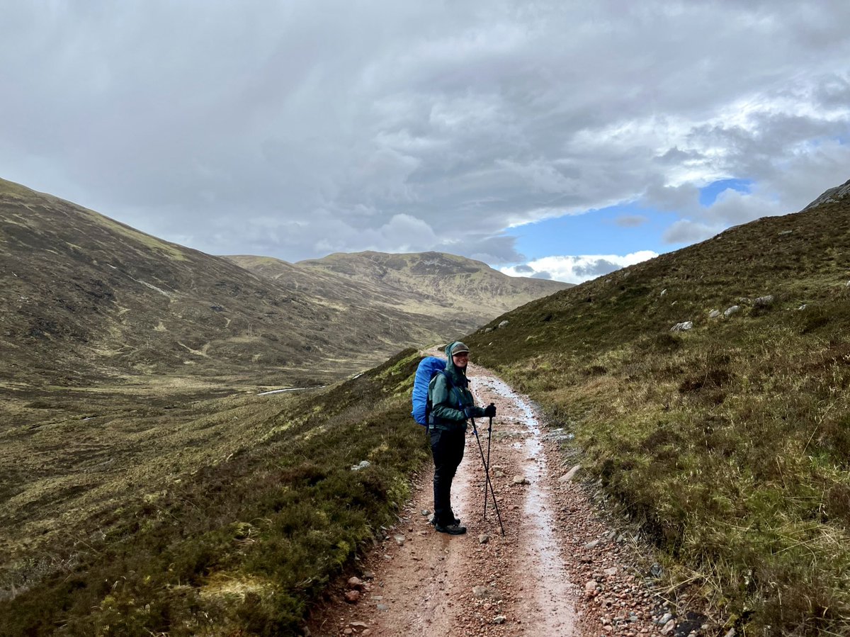
After the ruins, the river and Old Military Road swing right and the route climbs across the northern part of the glen. 


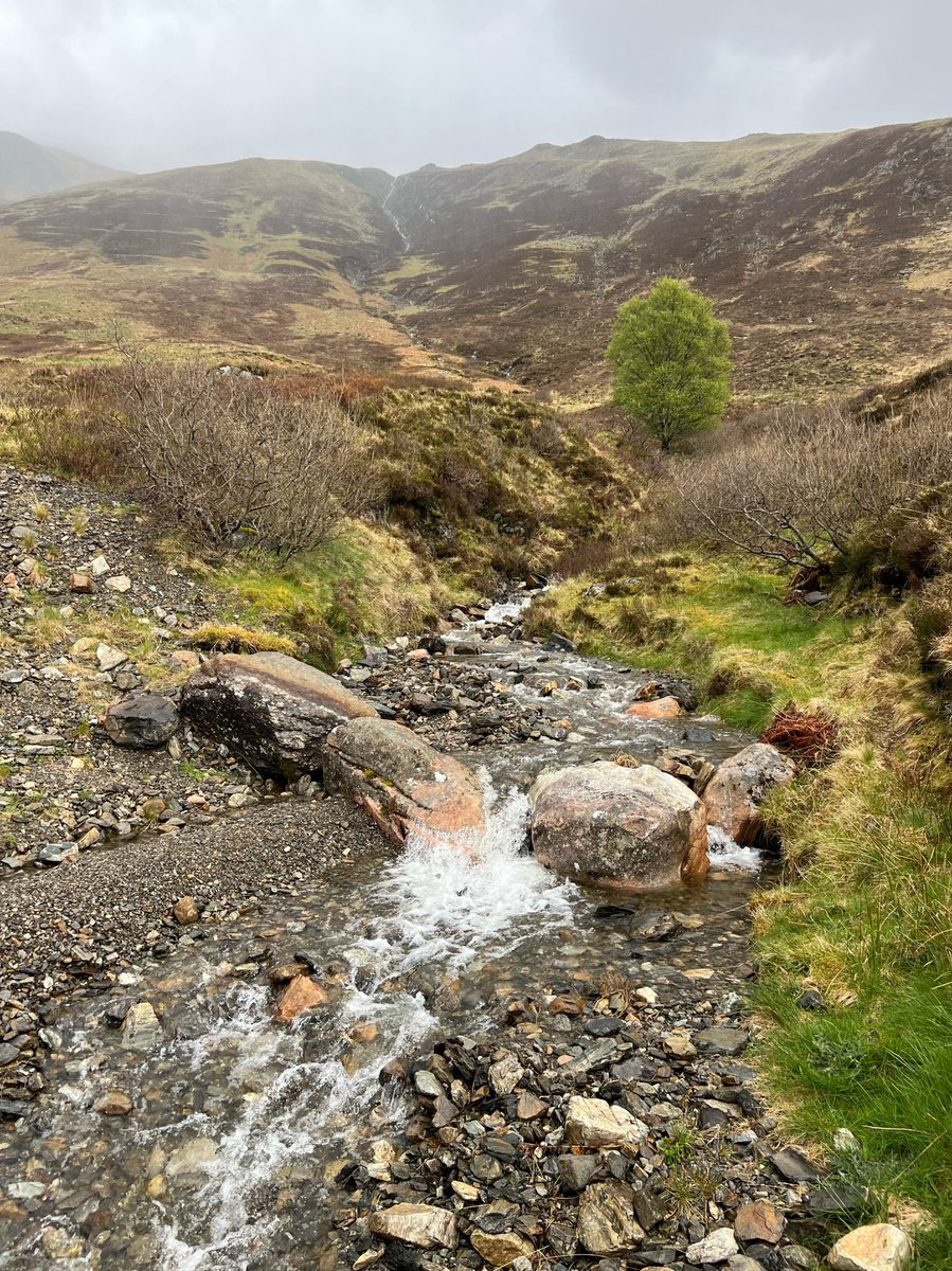
We spotted a solitary tree by a burn! It was the only tree I remember seeing since we left the fenced-off birch woods by Kinlochleven. Other than a tiny one growing out of the chimney at the Tigh-na-sleubhaich ruins. I guess deer and sheep couldn’t get to this one so it survived. 
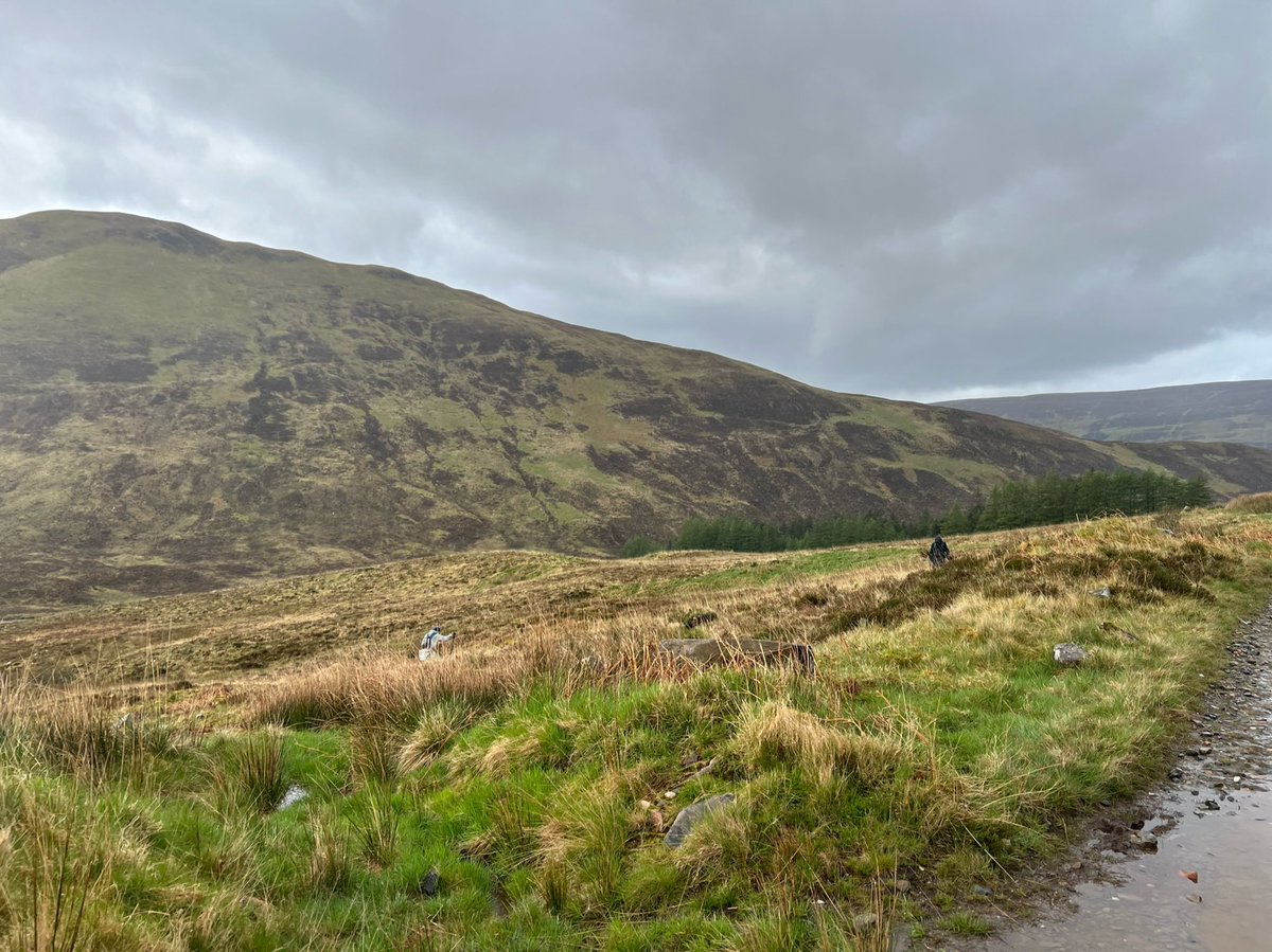
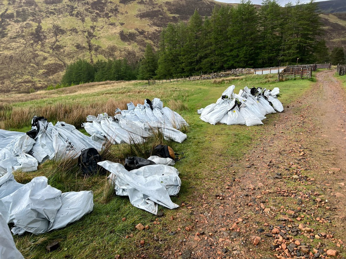
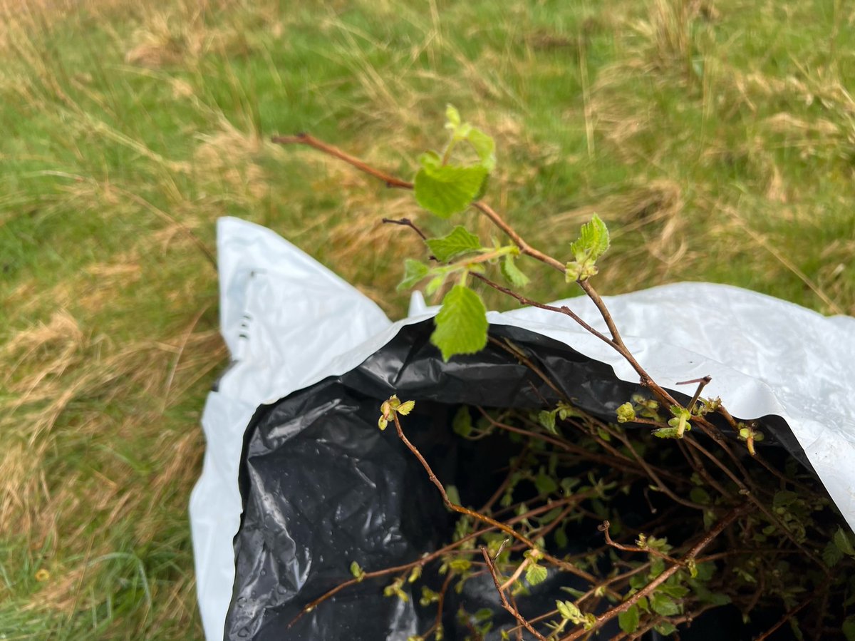
At the edge of a plantation further along we saw people planting trees - they look like hazel I think. 


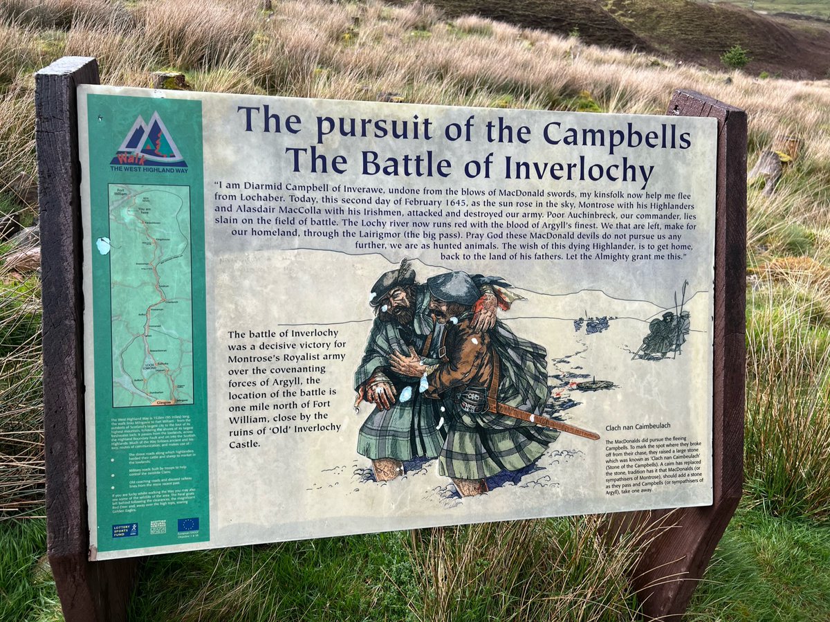
By the plantation there was also this info-board depicting the Campbells fleeing to their homeland through the Lairigmor, after being defeated at the Battle of Inverlochy. 
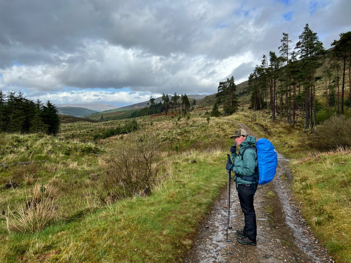
Ian took a cheeky photo of me drinking water from my hydration bladder. Getting one of those was a total game changer for me on long hikes. 
We came to a crossroads at the end of the Lairigmor, where the West Highland Way splits off from the Old Military Road. The info board in the shelter there said it was 7.5 miles to Fort William. It had a map with points of interest marked on it. 
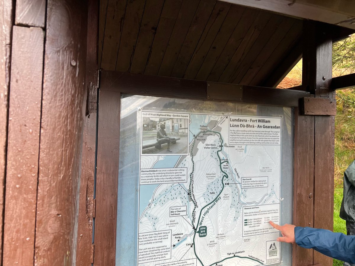
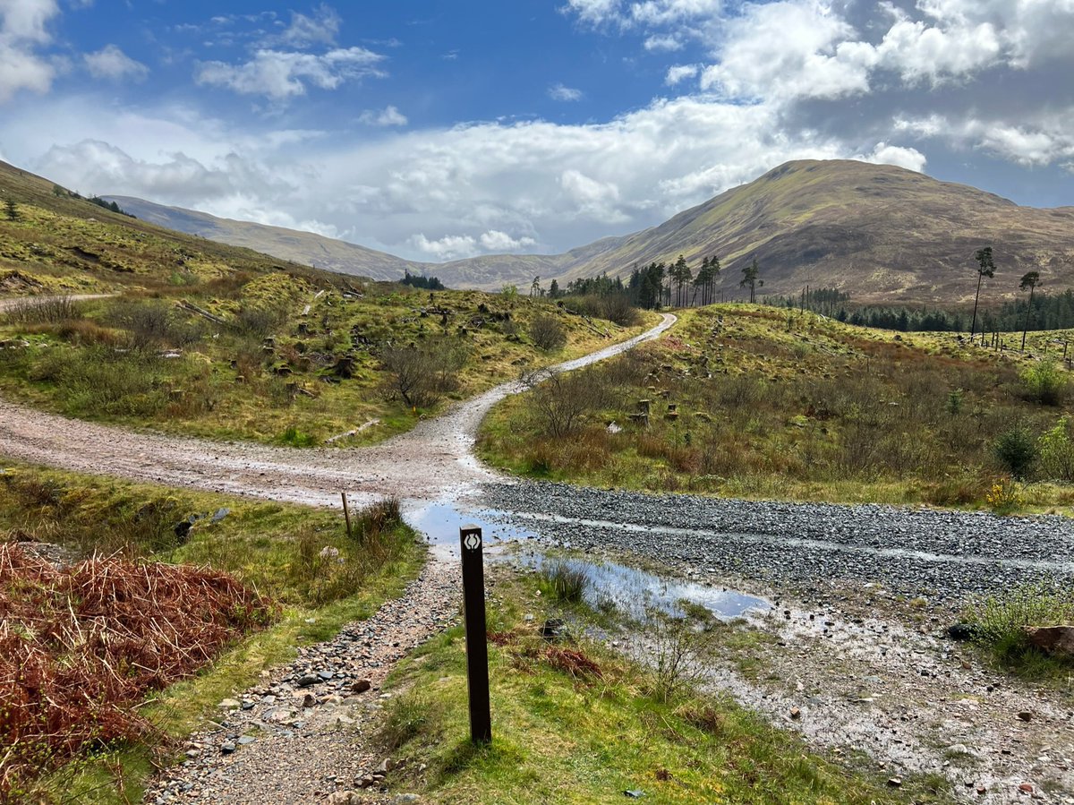
Photo of the crossroads. The Old Military Road goes left and becomes the public road to Fort William, right is a forestry track leading back the direction we’d come, our route was straight ahead to Glen Nevis. 
It was a big group of women with a guide, all wearing matching red waterproof capes. It made them look like the handmaids from The Handmaid's Tale. 


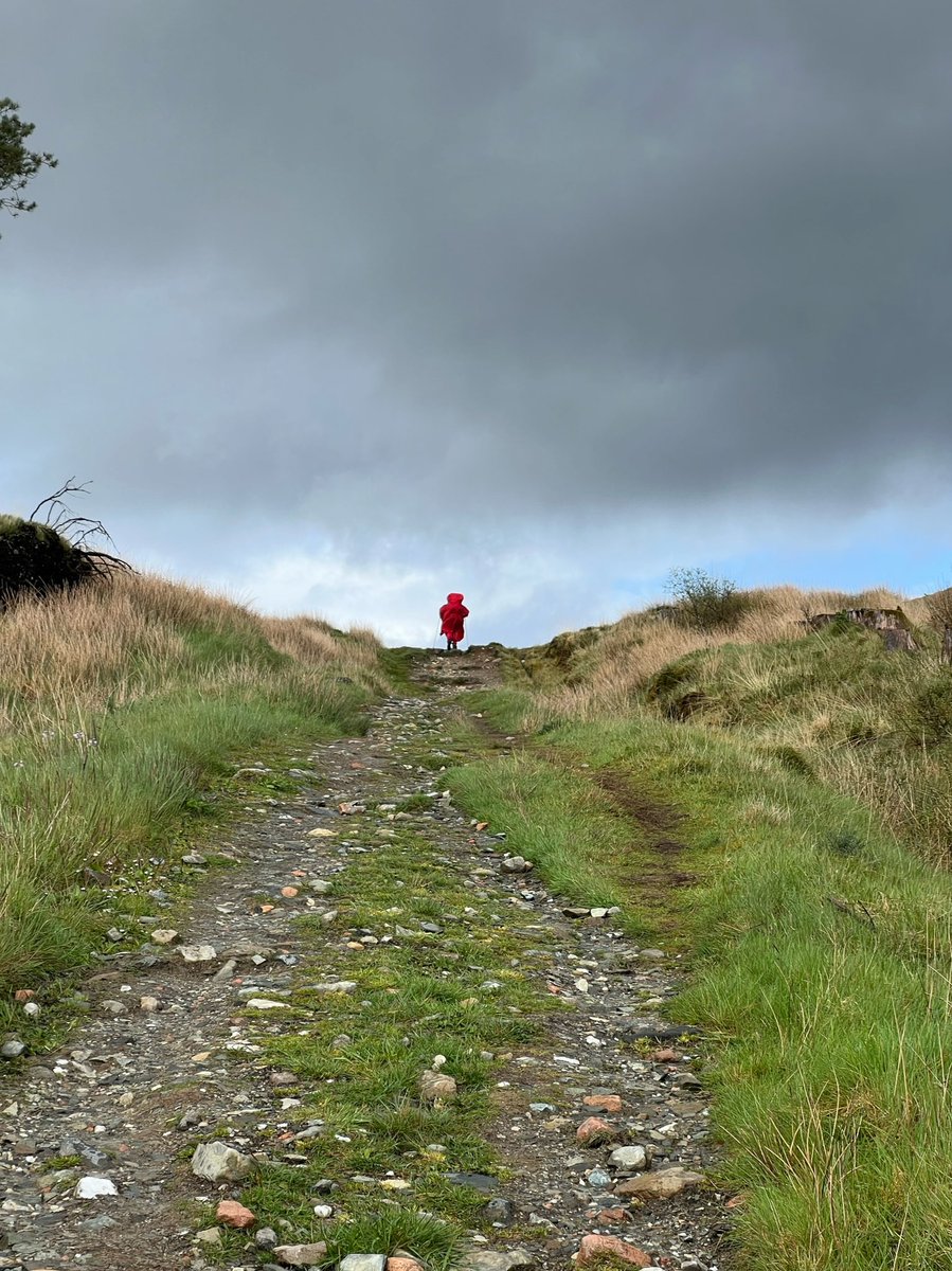
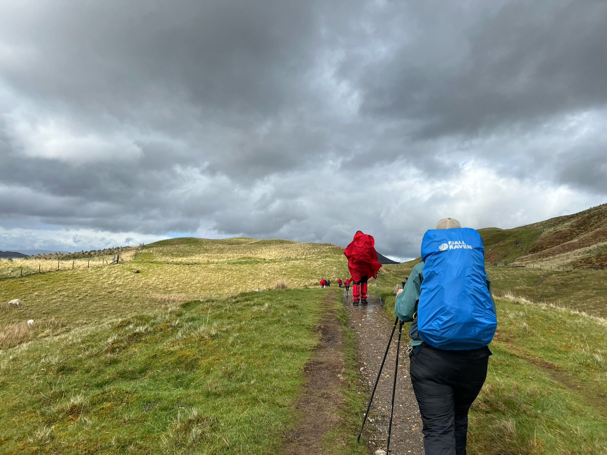
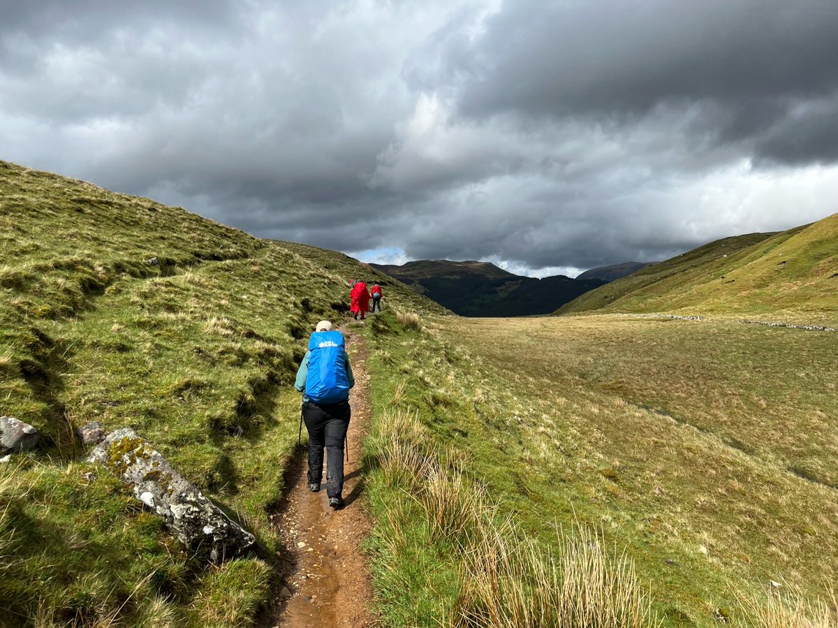
We were coming down towards Glen Nevis now, and we were excited to see Ben Nevis! The 1st place we’d come to together in Scotland 8yrs ago, and our 1st Munro. We’d fallen in love with the Highlands and come back every chance we got. I also did Ben Nevis with Rosie when I was 10. 
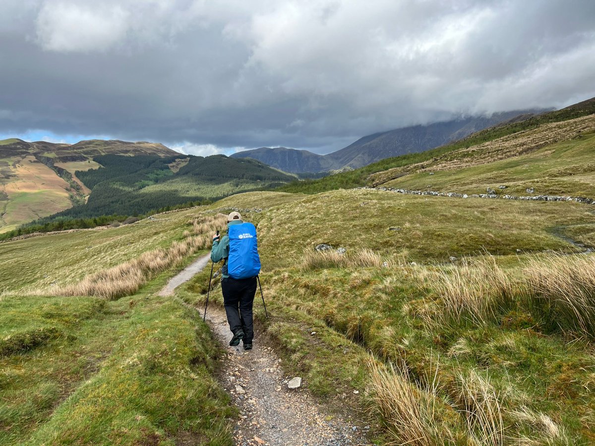
We entered a fenced off area where native woodland was thriving - protected from being eaten by the deer and sheep. There was a perfect spot there by the burn to rest and refuel. 

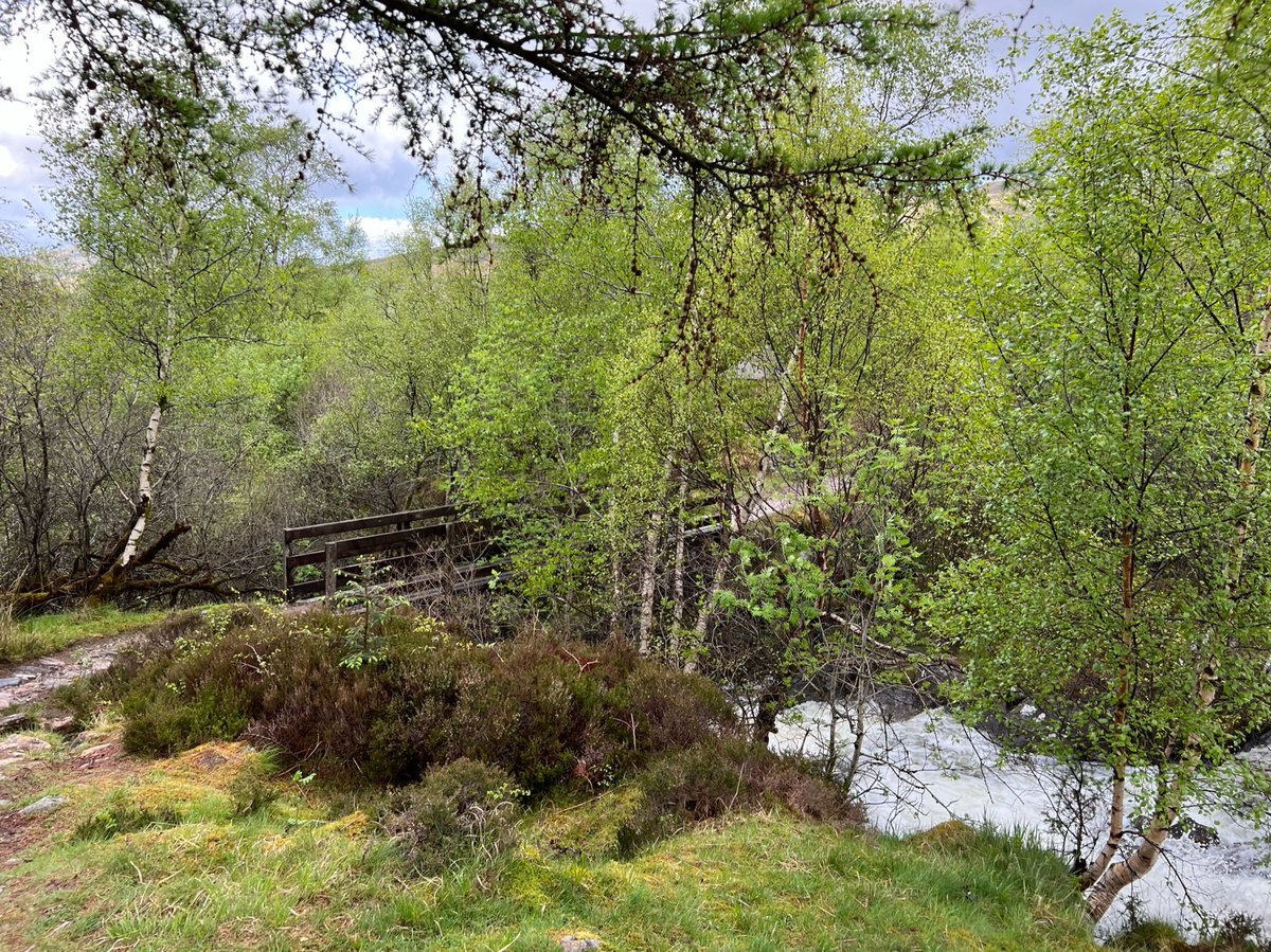
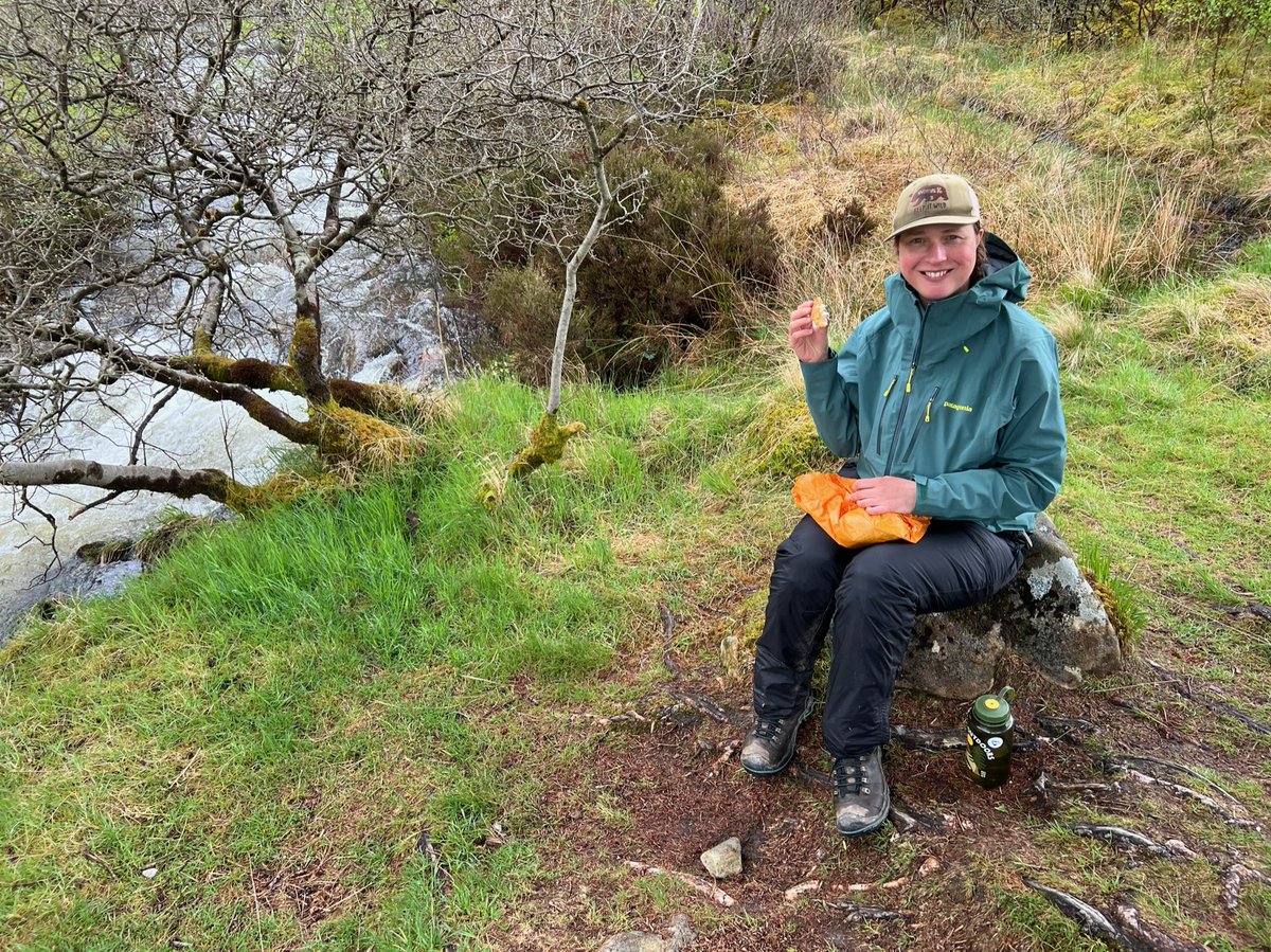
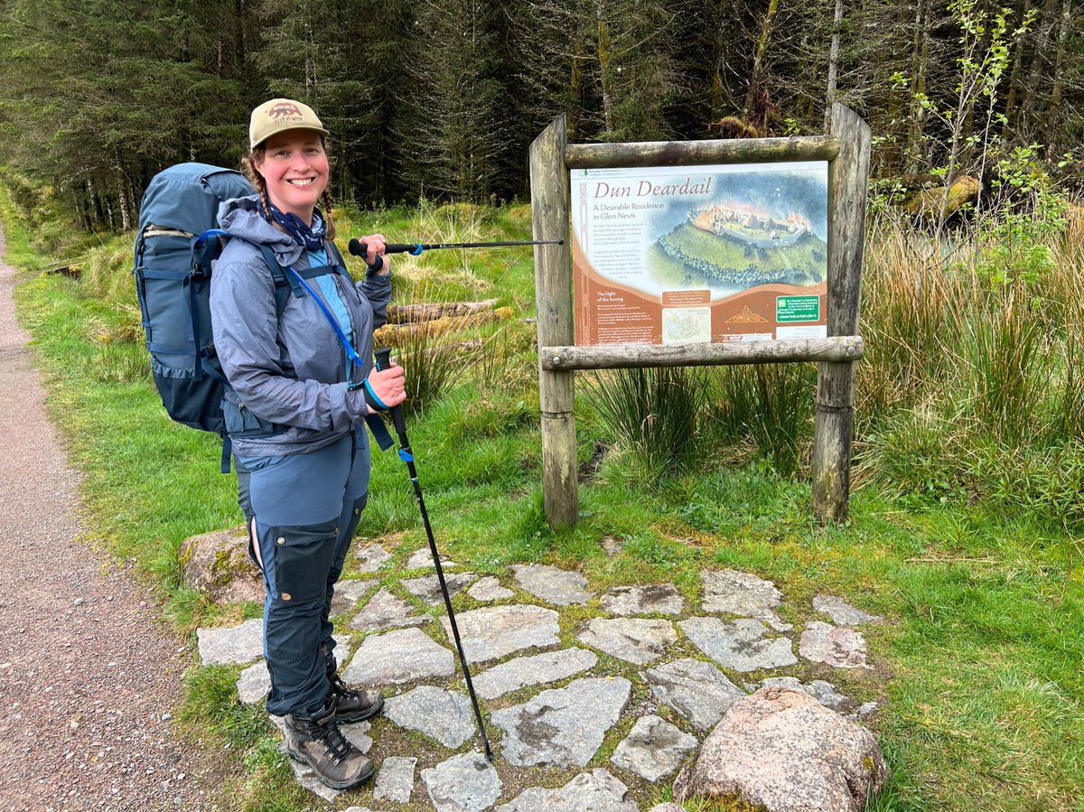
I was excited to see the sign to Dun Deardail (Deirdre’s fort). It’s where my namesake Deirdre of the Sorrows lived with her lover Naoise after they ran away from Ulster, before it was burnt down. Tempting as it was to visit, we’d been there before and we still had a way to go. 
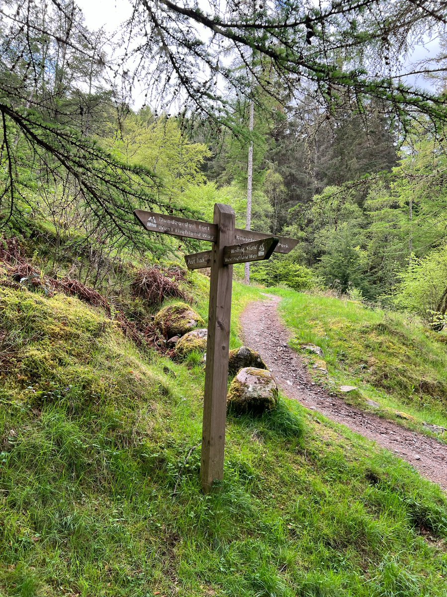
More sign excitement! We were almost out of the forest now, and near the Glen Nevis campsite where we’d stayed on our first visit together. 


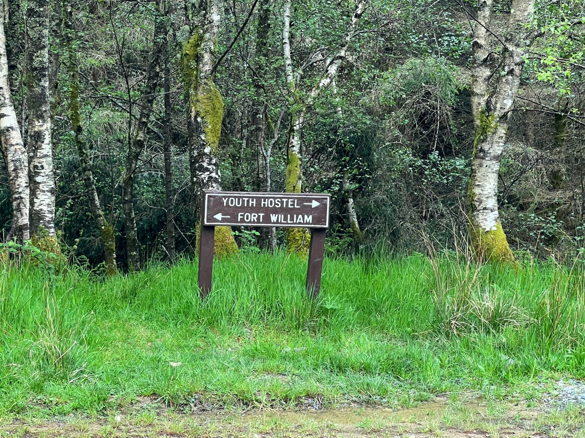
We followed a path between the fields, to emerge onto the road for the last section into Fort William. 


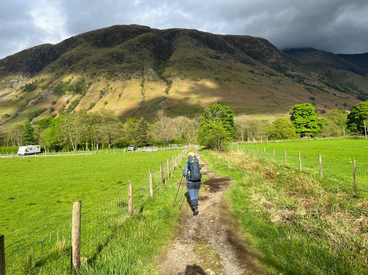
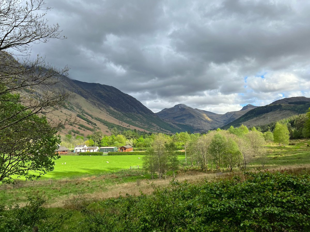
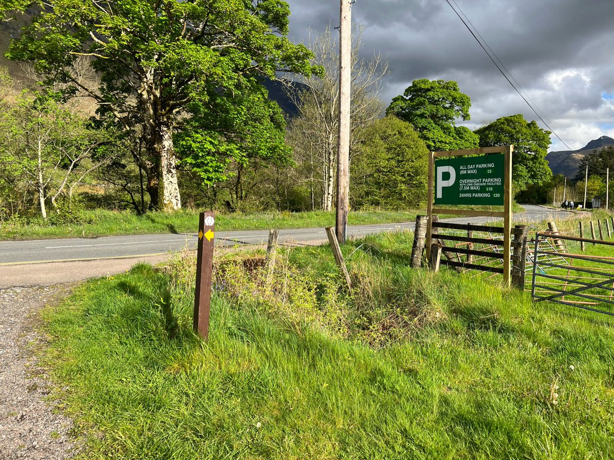
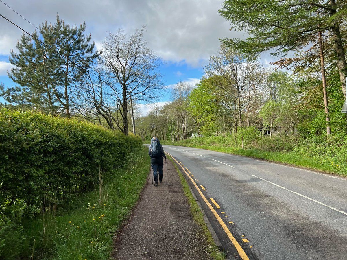
I think it’s strange that the Way takes you on this route rather than the path around Cow Hill which would be a lot more pleasant than walking along the road! 
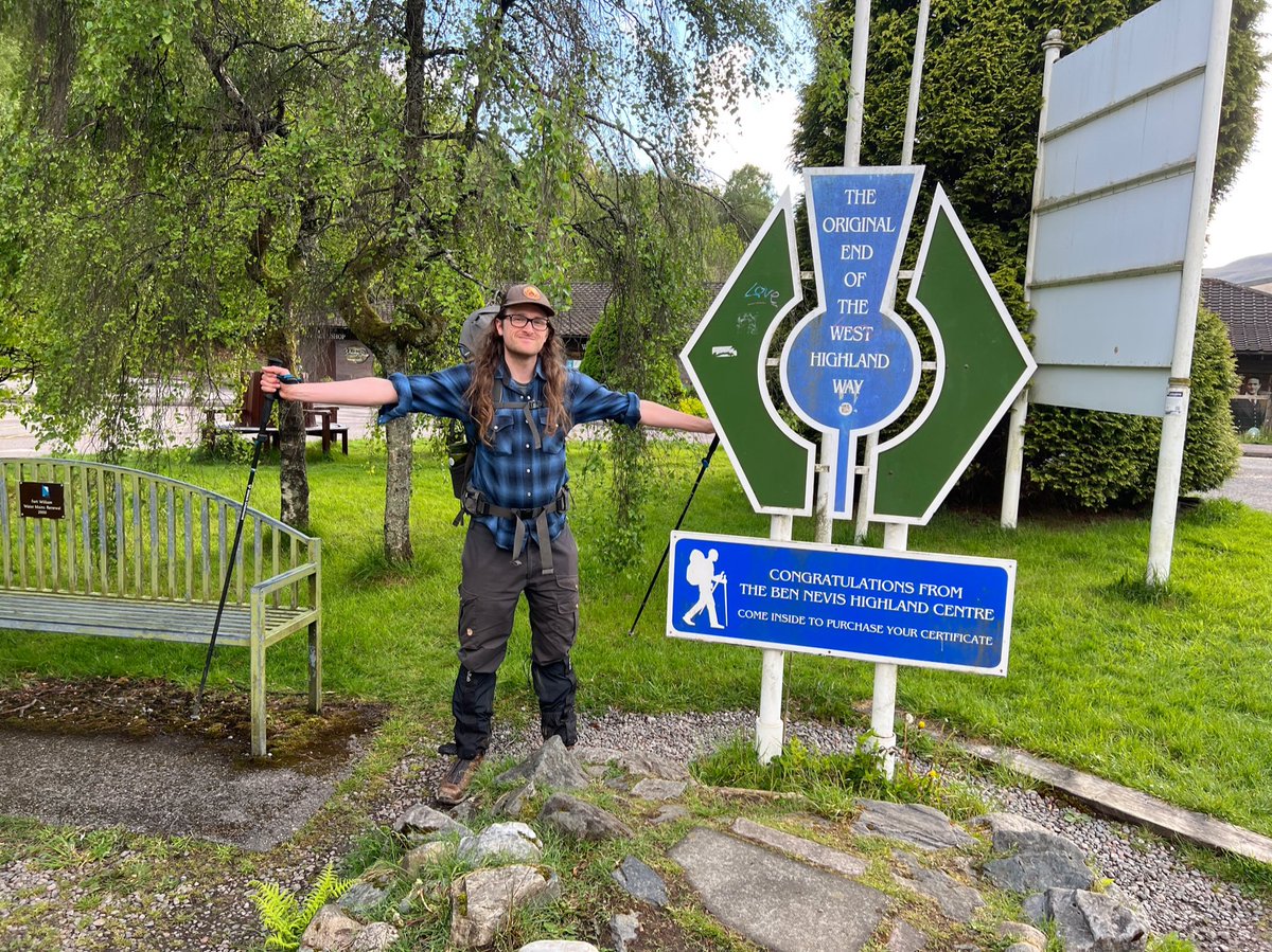
We came to sign for the original end of the West Highland Way. But we hadn’t finished yet because now the official end is on Fort William High Street in the town centre. Still had to take photos though of course! 

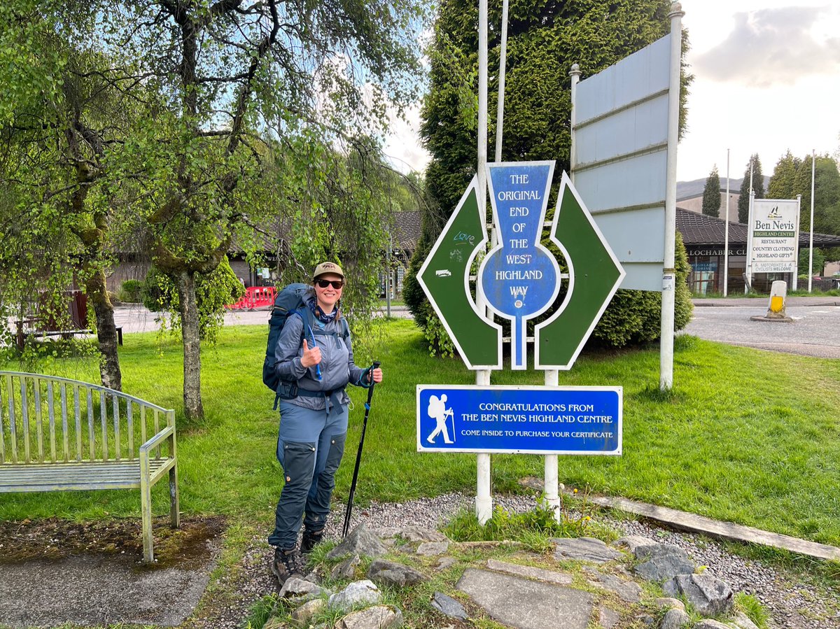
We walked along the familiar High Street, happy to see one of our favourite pubs - the Grog and Gruel where we’d be headed as soon as we finished! 


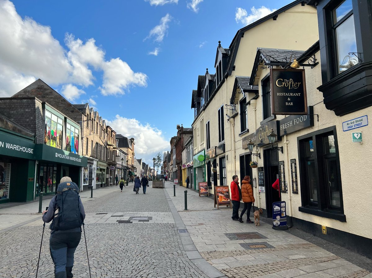
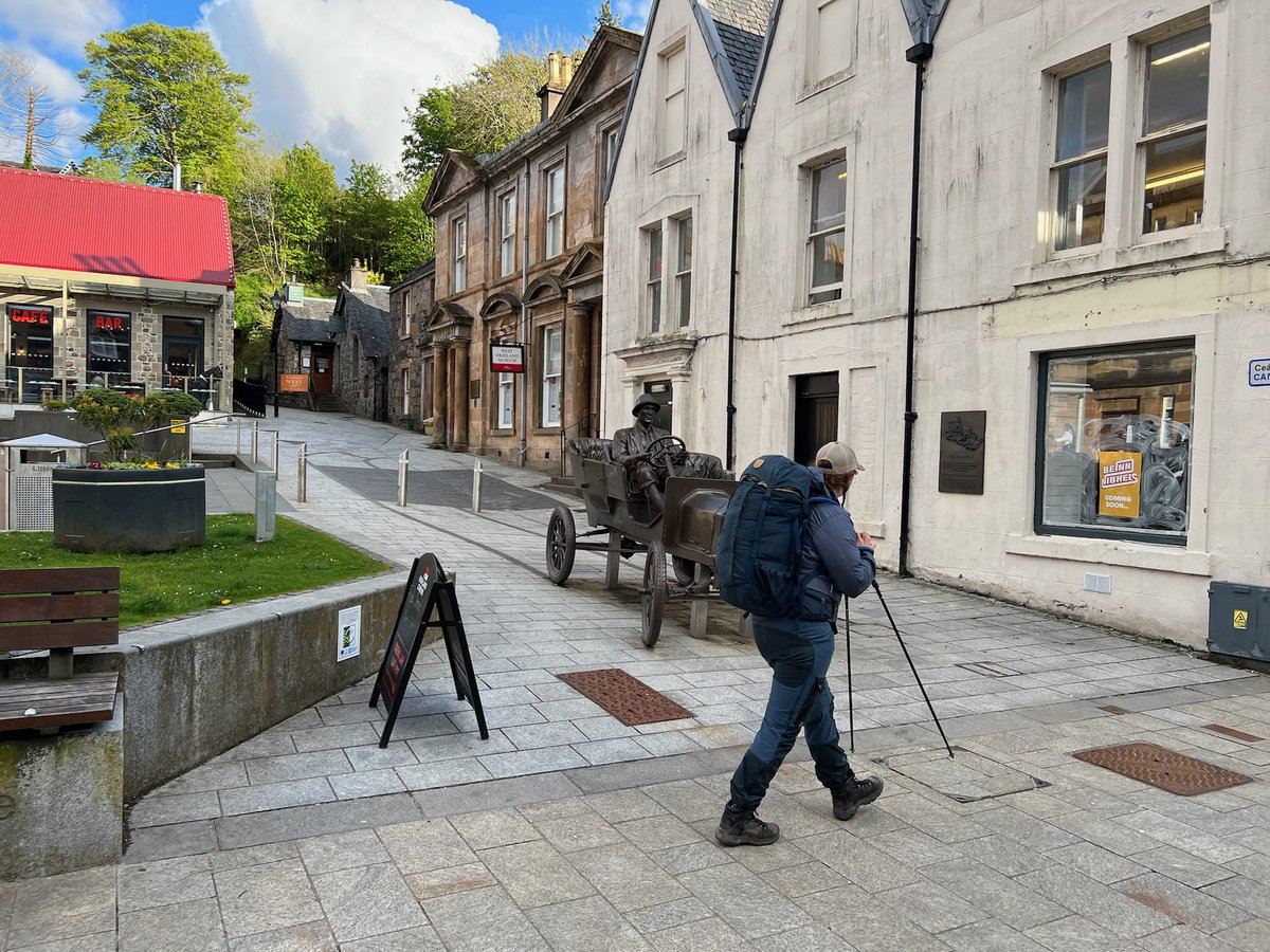
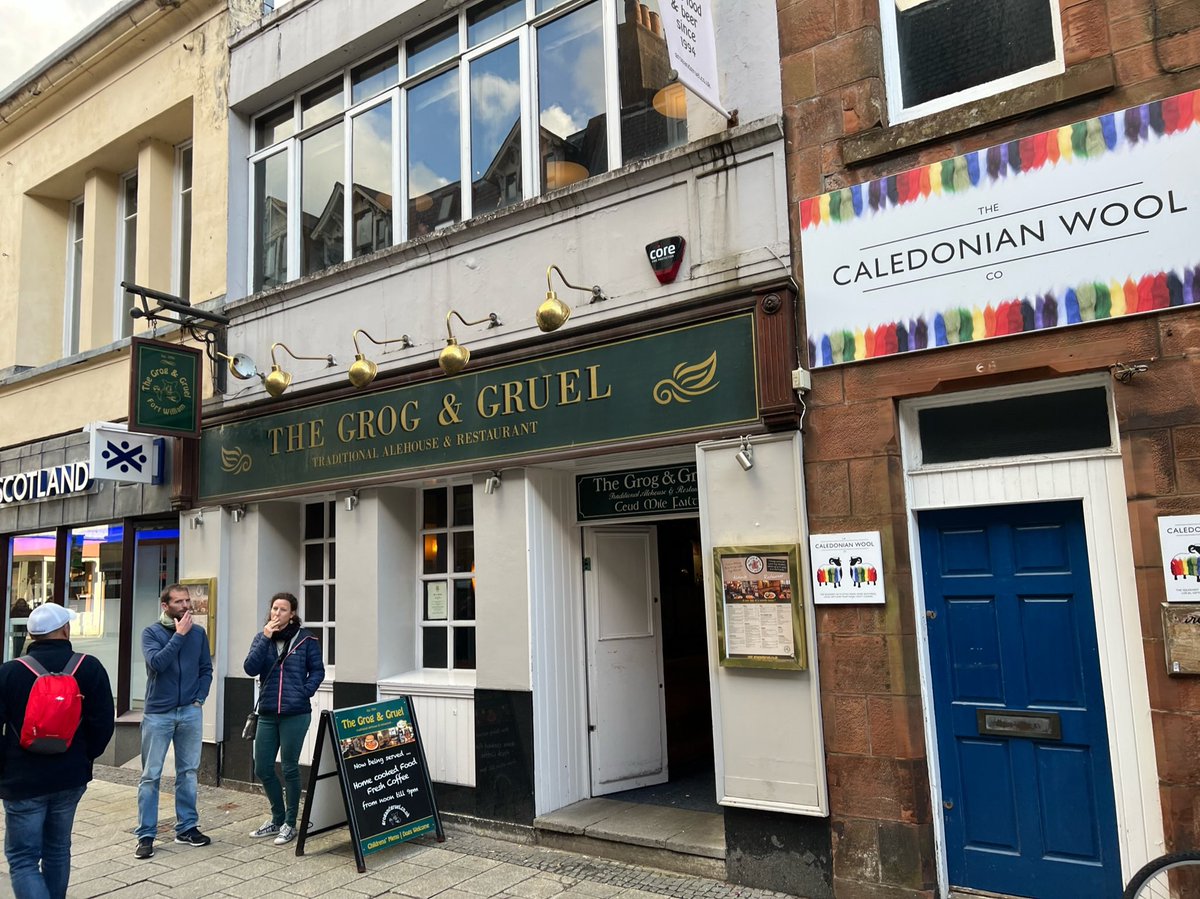
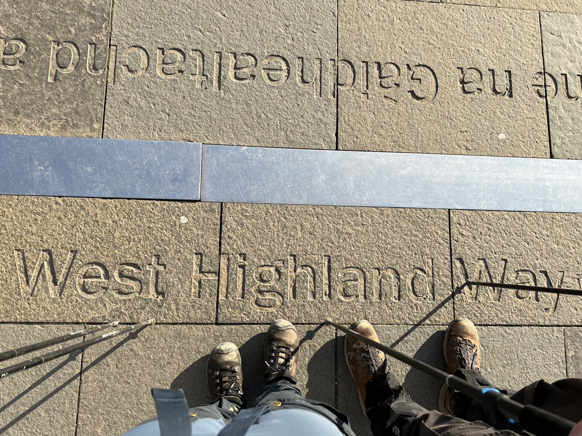
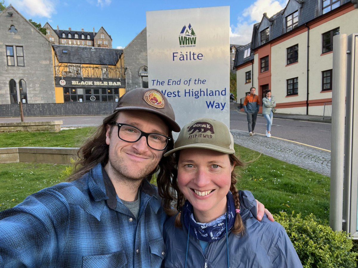
We’d reached the end!! People passing by congratulated us and someone offered to take a photo of us with the statue of the “Man with Sore Feet”. A jubilant moment! 


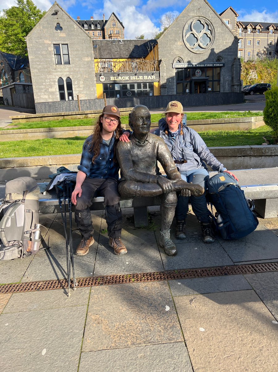
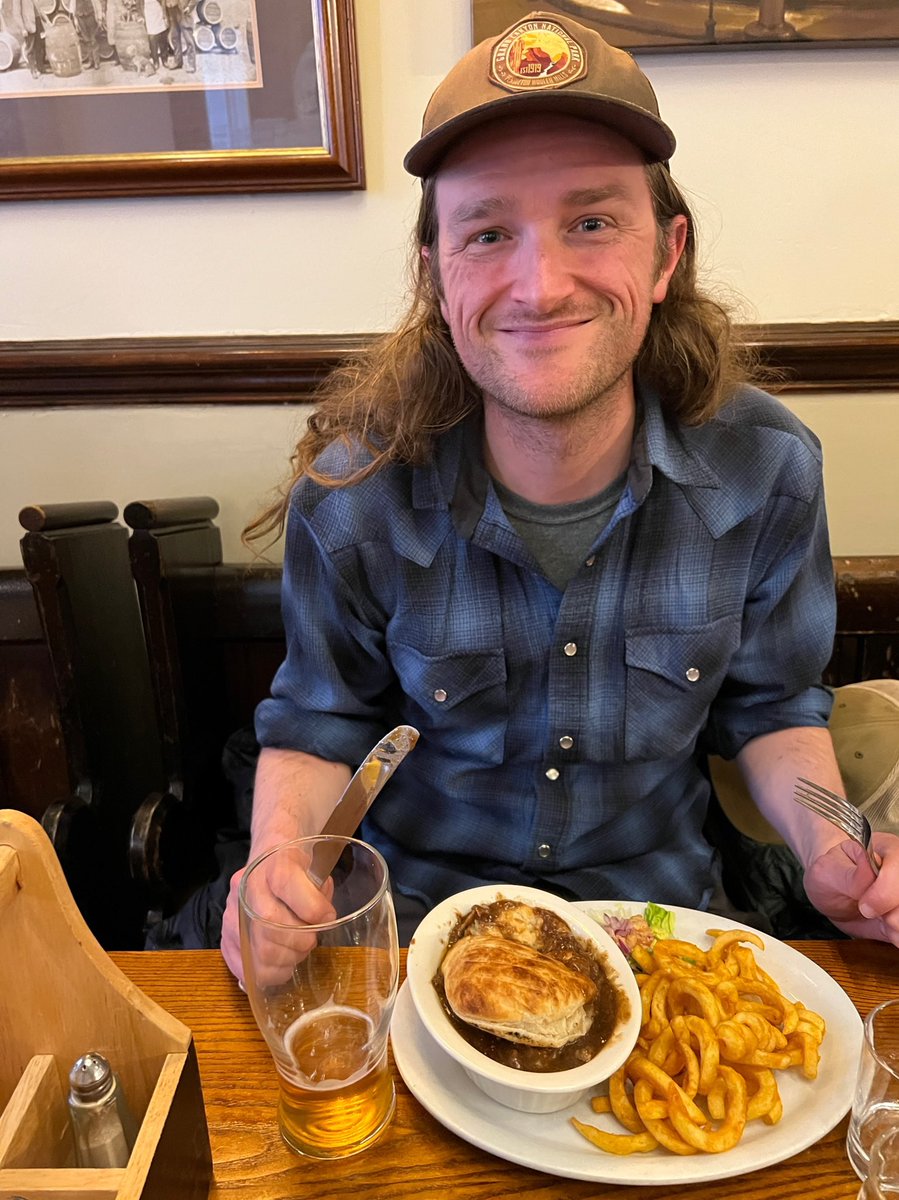
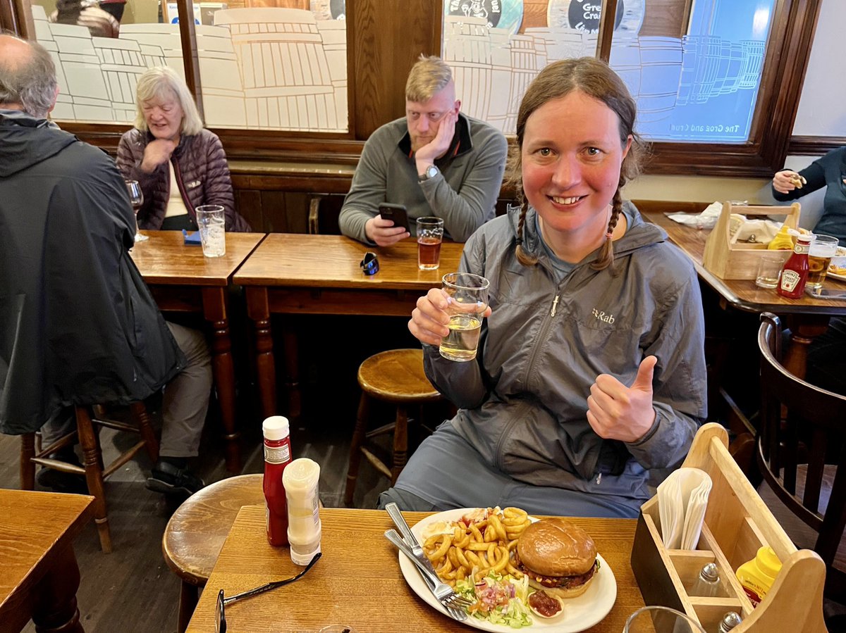
Time for a celebratory cider and bean burger (me) and beer and pie (Ian). We bumped into some fellow hikers we’d met along the Way and spent the evening reminiscing with them about the amazing journey we’d all been on… 


• • •
Missing some Tweet in this thread? You can try to
force a refresh

