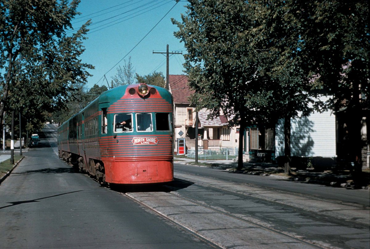
By 1920, the network of interurbans in the US was so dense that a determined commuter could hop interlinked streetcars from Waterville, Maine, to Sheboygan, Wisconsin—a journey of 1,000 miles—exclusively by electric trolley.
🧵🚋
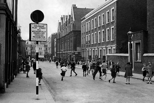
The tracks, and often the wires, extended deep into forest and farmland, making the railroads de facto intercity highways; after nightfall in the countryside, farmers would signal drivers to stop by burning a rag next to the track.
Streetcars and interurbans became the dominant mode of urban transportation in North America, carrying 11 billion passengers a year by the end of the First World War.
What happened? In the 1920s, cars really starting clogged the streets and highways, and the streetcars and interurbans, from being quick and efficient, became the most sluggish things on the road. GM and motordom hurried things along by promoting "bustitution" of rail.
The rest is...history.
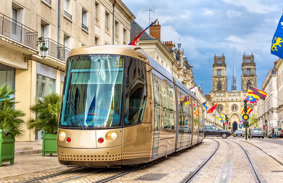
For the time being, the future is being written elsewhere. (As in #France, where #Orléans and scores of other cities have brought back tramways.) But never say never again...
P.S.:
"Who needs a car in LA? We've got the best public transit system in the world!"
—Ed Valiant, Who Framed Roger Rabbit?
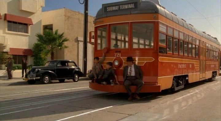
"Of 13 cities in Los Angeles County in 1919, all but one was located on a Pacific Electric line."
—Spencer Crump
Before the freeways came, Los Angeles, with its Yellow Cars (streetcars) and Red Cars (big interurbans) was the transit city par excellence.
I go into the whole history of this (including the "General Motors Streetcar Scandal," not as straightforward as usually portrayed) in the Los Angeles chapter of my book #Straphanger.
This is a map of western part of the network of just one Canadian passenger railway in 1955.
You could really go a lot of places by train then.
And fast: 71 hours, 10 minutes from #Montreal to #Vancouver. (It's 94 hours, if you're lucky, from Toronto to Vancouver today.)
🛤️🧵
There were two express trains across the country that year: The Canadian (CP) and the Super Continental, run by Canadian National Railways, the "People's Road."
Your freedom of movement was impressive, especially if you lived in eastern Canada. From Montreal, you could go to Chicago via Detroit; you could ride from Quebec City to Boston; Atlantic Canada was served by a very dense network of tracks.
Great-grandfather: allowed to walk 6 miles on his own Grandfather: could walk 1 mile
Mother: could walk a half mile
Son: could walk 300 yards (to end of street).
What happened? *Cars* happened.
A flood of traffic shrunk the geography of play and free-roaming.
🧵
(Thanks to Shrinking geography of childhood in UK, thnx to @timrgill and @drwilliambird for the research and graphics.)
What's the solution? One way forward—play streets.
The UK once had 700 of them; closed to traffic, but open to kids.
@timrgill @drwilliambird A century ago, Play Streets were common in NYC, closed to cars by order of the police.
This #Paris métro station is a steampunk masterpiece.
Designed by Belgian comics artist François Schuiten, to call to mind one of Jules Verne's submarines or airships.
Where else can you find secrets of the métro?
🗼🚇🧵
Look out for the original édicules, designed by Art Nouveau master Guimard
This one's at Abbesses métro station, deepest in the city, in Montmartre.
Pro tip: contrôleurs like to trap people at the bottom or the top of the spiral staircase, so make sure you've paid your fare!
Watch out for "stations fantômes," now closed, but which you can see flashing past on some lines. I got to visit St. Martin, which still has beautiful tile ads from the 1950s.
That sums up complex research that showed how social interactions diminished on streets with more automobile traffic. (Appleyard focused on 3 residential streets in San Francisco in the 1960s)
One year after his research on how cars erode real-life urban social networks, Donald Appleyard was killed by the driver of a car in #Athens. He was 54.
In the 1660s, this French philosopher came up with an invention that solved the problem of urban transport forever.
It had nothing to do with Robo-taxis, flying cars, or Tesla Tunnels.
🧵
His name was Blaise Pascal (he of the famous Wager). After inventing one of the first mechanical calculators, the Pascaline (below), he turned his mind to the problem of traveling around #Paris ...
Paris was then the most populous city in Europe, and the most densely settled. The wealthy got around in private carriages, drawn by horses, which they paid vast sums to maintain. The poor walked—but nobody got around very fast. Pascal conceived a system...