
To celebrate #NationalWalkingMonth, I’m walking from home in W13 to my office in EC1 (~11 miles), sticking to the historic London-Oxford highway (now part A4020/part A40). As in previous years, I’ll post photos of whatever takes my fancy as I stroll. #WalkThisMay @livingstreets
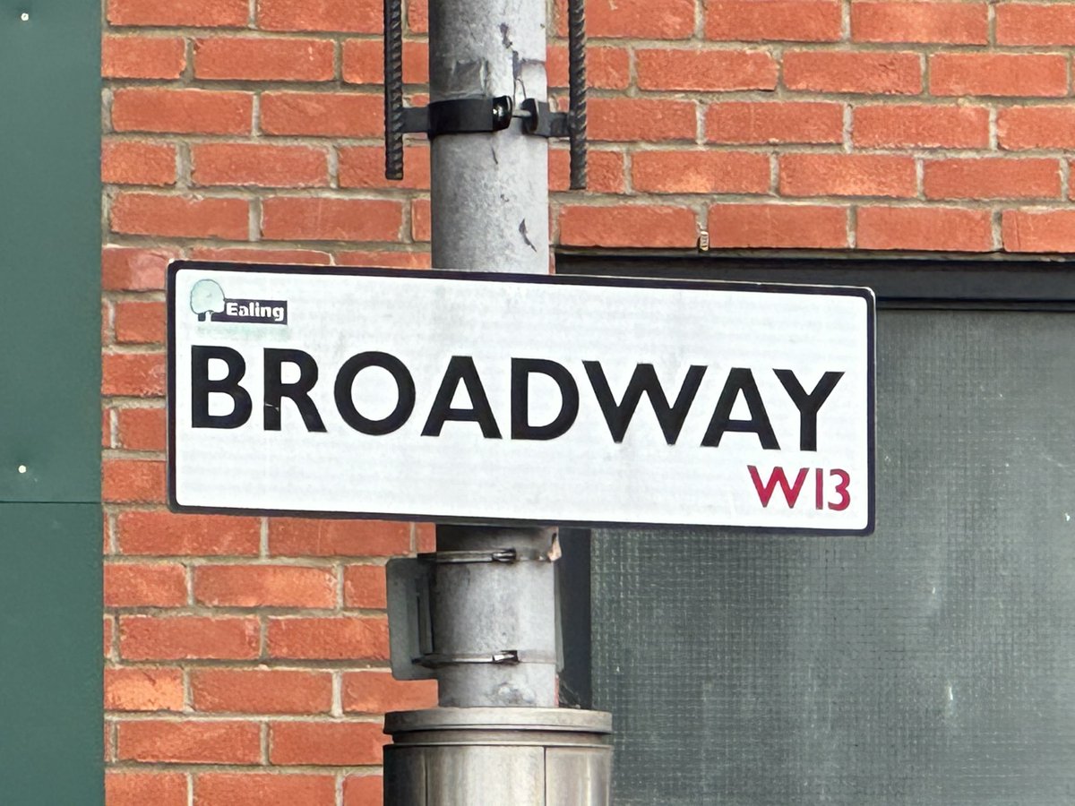
I’m starting at the west end of West Ealing Broadway*
* Like several ‘Broadways’ along the A4020 in Ealing, the name may conjure up something more spacious than the reality. (Not that what space there is couldn’t be better used, mind.)
* Like several ‘Broadways’ along the A4020 in Ealing, the name may conjure up something more spacious than the reality. (Not that what space there is couldn’t be better used, mind.)

I immediately encounter reminders of what Bill Bryson advises in ‘Notes from a Small Island’ - if you want to see the real character of the buildings on most British high streets, look above the ground floor. (That ‘Half-Way House’ is just taunting me!)


There are two Pelican crossings in this photo, around 70m apart. Not sure I know of a pair so close to one another. Can you beat that?

Dean Gardens, on one corner of the ‘Lido’ junction with the B452. I had the vague idea the name was to do with previous character of the park. But I’ve just looked and it’s from a cinema that once stood nearby (I just remember it in its final incarnation.)
ealingtoday.co.uk/default.asp?se…
ealingtoday.co.uk/default.asp?se…

That article says the junction ‘has become notorious in recent years as being a dangerous junction’ - and this relates particularly to the death of Claudia Manera here in 2017. Her ‘ghost bike’ is still here, just about.


Claudia’s death gave rise to the Make Uxbridge Road Safe campaign, which in turn led to a unanimous, all-party commitment by Ealing Council to do just that. Over five years later and, despite a corridor-long strategy having been in development pre-Covid, not much has changed.

Looking up again, I notice this recent residential conversion of a classic junction corner bank building (still at the Lido). It looks to me like it’s been done quite well, all things considered. (Feel free to disagree.)

This entirely unremarkable scene is of one of the locations used in the Monty Python “Hell’s Grannies” sketch. (I visited a number of such locations on my 2021 walk to work.)

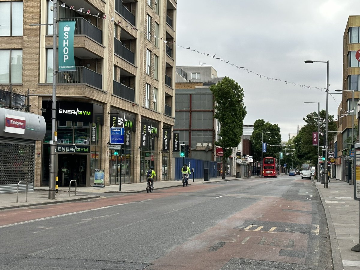
The location is what I think of as the ‘office & hotel zone’ of the A4020 Uxbridge Road, between the West Ealing & Ealing Broadway town centre.
One of the easternmost buildings in that zone is Longfield House, an Art Deco work (I think) which I wish were (a) easier to see in all its glory and (b) in better condition.


Nearby is the facade of the old cinema in Ealing Broadway. What you can see are new apartments (plus the ground floor bar), but behind is a new Picturehouse cinema, due to open soon. The original cinema was a Forum, opened in 1934 and (I read) very similar to one in Kentish Town.


The cinema is opposite Ealing Town Hall, built in the 1880s in the gothic revival style. Both building are on the ‘New Broadway’ (which is actually quite broad!)

Not long after the cinema opened, the George Formby film ‘Let George Do It!’ was made at the nearby Ealing Studios (1940). Lyrics from one of the songs from the film are featured on this plinth, at the entrance to the Dickens Yard development.

I’m not sure what architectural style this M&S building fits within, but I can’t help wishing they’d chosen a different one, especially in such a prominent location.

The name of this pub - The Sir Michael Balcon - is another echo of Ealing’s association with the film industry.

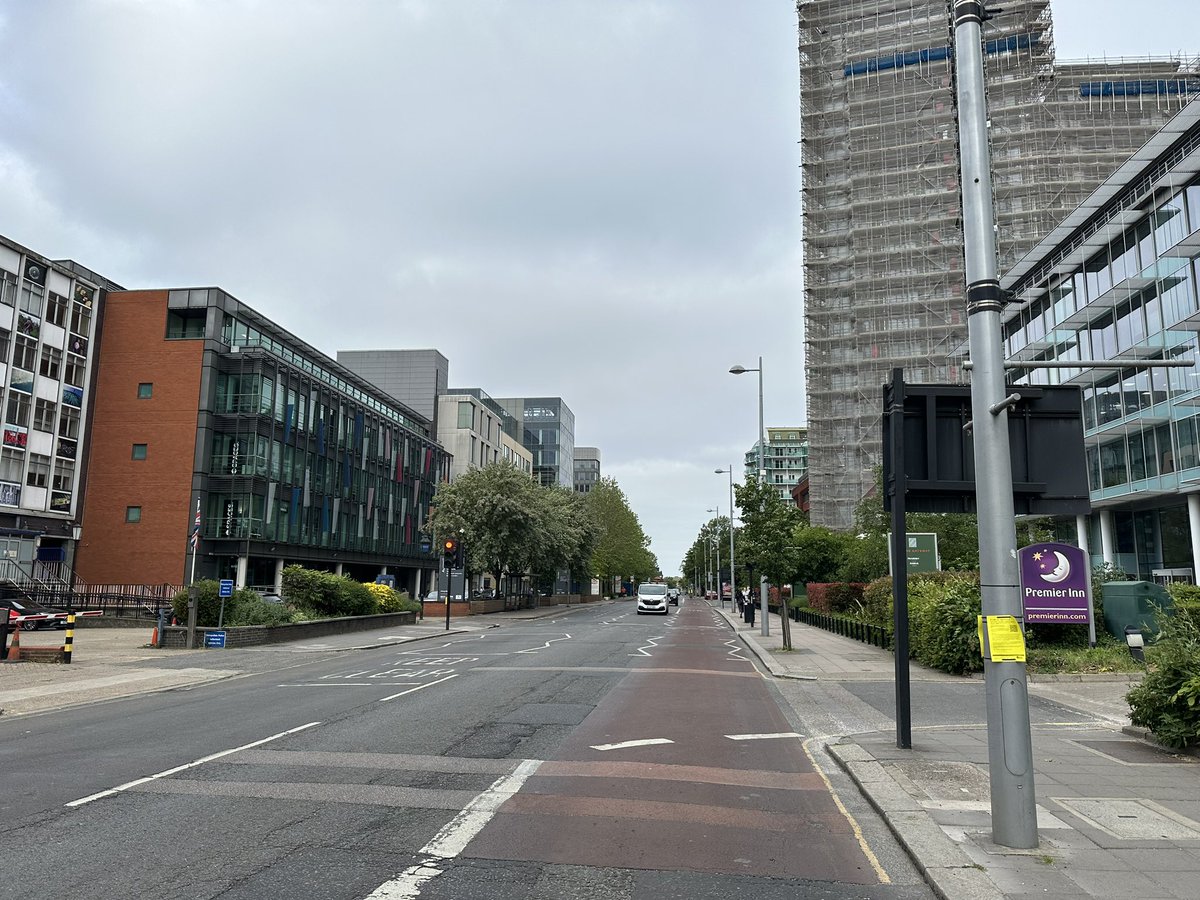
My wife (who’s obviously stalking me on Find My) has just called to say I’m making ludicrously slow progress, so I’m trying to up my pace as I pass Ealing Common. It’s waaay more than 6 miles to EC1!


These ‘lightly protected’ cycle tracks, created during the pandemic, show how easy it can be to turn something pointless (a narrow ‘advisory’ lane) into something that makes an actual difference. Sadly, they only lead to/from the big A406 North Circular junction, not through it.


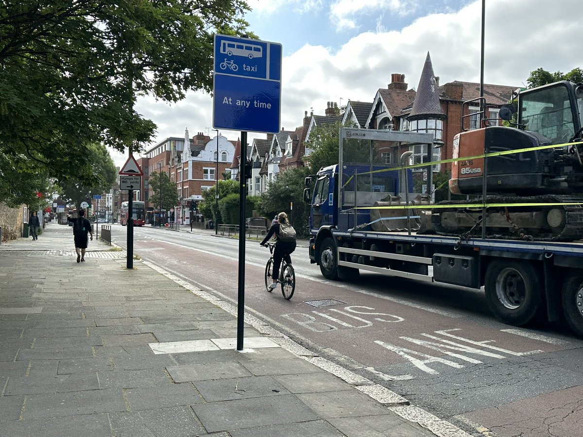
Another pandemic era intervention that could and should (in my view) be far more common: 24/7 bus-cycle-taxi lanes replacing confusing and (in capacity terms) unnecessary part-time restrictions.

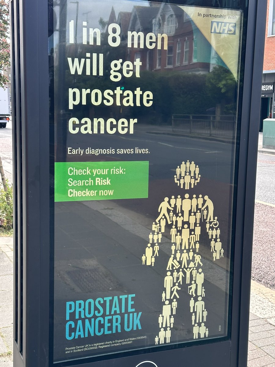
I thought I’d just pass on this public service message. And, exactly as I was about to do so, this chap on a bike passed (look at the charity his jersey is promoting).

An access restriction of the type that seemed to be generally accepted as sensible and un-newsworthy, until some chose - for various reasons - to claim that, er, three-letter acronyms were an assault on freedom and/or somehow elitist.

I rather like this, but it’s somewhat lost within such a large junction (A4020/A4000 Horn Lane).


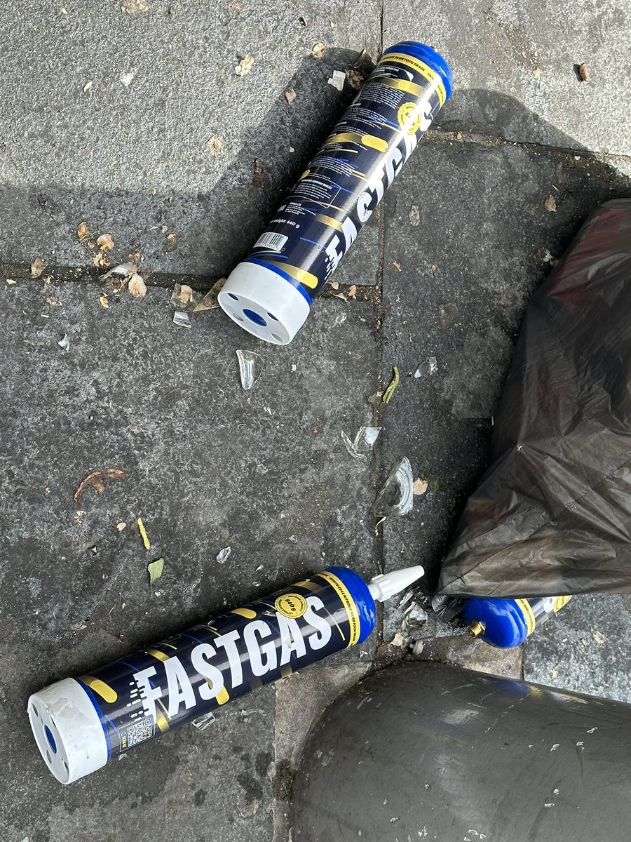
I’m trying to keep up. Are these what are now replacing the numerous small, silver NOS bottles that used to be so common?
By the way, I shall be producing a pdf of this thread, with captions for all pictures, and adding it at the bottom in the next few days. I’m afraid I just don’t have time to do ALT text as I go.
My second cinema of the day (though there’s also another just to the right of that M&S building). This is in an old Passmore Edwards library in Acton. There are many similar buildings with this name on them. You can find out about the man himself here: en.m.wikipedia.org/wiki/John_Pass…

I’m not a huge fan of ‘gateway features’ generally, but I’m all for making good use of features that are there anyway. This railway bridge over the A4020 at the east end of Acton is a good example. (Night-time shot from Londonist.)


This looks like a fairly regular delivery. The cones mark the fact there’s a trip hazard at the flexible pipe, but I’m not sure how that helps wheelchair users & others who step over. What would a better solution be? Out-of-hours timing?

Acton Park, one of the many great parks that are characteristic of the borough of Ealing (and justify its logo?).

At which point, I finally leave Ealing (the first of 6 boroughs/cities on this walk) and enter Hammersmith & Fulham, at the junction with Askew Road/Old Oak Road.

And, not to have a go at my new hosts (who are doing good stuff elsewhere), I straight away encounter one of those ineffective advisory cycle lanes that could easily & cheaply be made more attractive for its ostensible purpose.


Is it just me, or is there something really quite marvellous about buildings that have their names carved in their facades? Like the Coningham Arms pub. I wonder if it would still be called that if it weren’t for the indelibility of the inscription.

Re the tweet two above, here’s a protected cycle in a location just down the way where I’d have thought loading issues would’ve made it far more challenging.

This looks like some form of Yorkstone, around Shepherds Bush Market station. Uneasy on the eye in its own right, it seems an especially unsuitable choice when subject to use like this.


Shepherds Bush Green, from the eastern, war memorial end.

I spoke earlier of closely-associated Pelican crossings. How about closely-associated Vue cinemas? There’s one each somewhere in these two buildings.


On my route, the boundary between Hammersmith & Fulham and Kensington & Chelsea is marked by this huge roundabout, with the A3229. Walkers & cyclists are (formally) diverted around.


That roundabout is also the eastern end of the A4020. The historic Oxford-Uxbridge-London highway I’m following is now formally designated the A402. There used to be a sign around here saying something like ‘A402 (formerly A40)’ but it seems to have gone.

A bike ‘parked’. Do you think its owner is coming back for it?

In its physical attributes - buildings, trees, general spaciousness - Holland Park Avenue was and could yet be one of London’s finest thoroughfares. In terms of its contemporary use, it fails to achieve its potential as a grand Avenue fit for all users.


Perhaps one reason Holland Park Avenue fails in this regard is its designated use as a major route if the nearby A40 Westway is closed for any reason. (Is that what this sign implies @ShowMeASignBryn?) There are other reasons, too, as @betterstreetskc know only too well.

I just noticed these new homes on Holland Park, and wondered what was there previously. Google reveals.


For nerds only. Back to Monty Python, the Routemaster bus the three cardinals used to get to the Old Bailey (at the end of the Spanish Inquisition episode) is shown as passing this spot, in Notting Hill Gate. (They were shown boarding the bus in Lammas Park Gardens, Ealing.)

This is an example of something I’m noticing more (and getting increasingly fed up with): the sequestration of the public footway for months on end for private development. I’m not against development (of course), but it shouldn’t be at the expense of necessary public provision.


When anything like this is proposed, how much footway can be lost - if any - should be assessed using a tool such as this. If additional walking space is needed and can’t be taken from the carriageway, developers should be required to think/work harder. content.tfl.gov.uk/pedestrian-com…
Speaking of which, just crossed into the City of Westminster, I’ve found this. People walking must cross over, using a pretty mean 2-stage signalised facility. Not nearly good enough, especially in such a busy spot (outside Queensway station & by a key gate for Kensington Gdns).


I think these numbers are (were?) for pitches for an occasional (was weekly/monthly?) on-street art market. Does anyone know if this still happens?


This is the second (former) public drinking fountain I’ve come across today, on Bayswater Road near Lancaster Gate station. It’s only inscribed with the date (Jan 1872).

The first one I saw was at the west end of Holland Pk Ave & was ‘erected in memory and at the cost of Mary Cray Ratray’, who died in 1873.


You don’t see too many of these signs on such highways in cities, but then not many run alongside Hyde Park.

I/they just missed their cue.

Back to the footway sequestration issue, I think this arrangement shows more consideration. The only part of the footway taken is in the same zone as that occupied by the line of fine trees.


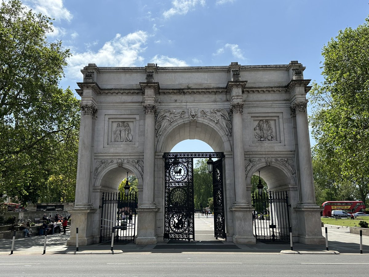
This stands on part of the site once occupied by the Odeon at Marble Arch. I remember watching a treble-bill of the original Star Wars movies there sometime in the mid-80s. It started early afternoon & the fact it was still light when we emerged 6-7 hours later seemed so wrong!


And talking of Marble Arch…
This junction is the transition point between the A402 and the A40 designation, which I will now follow to its eastern terminus. The western stretch is, of course, Oxford Street.

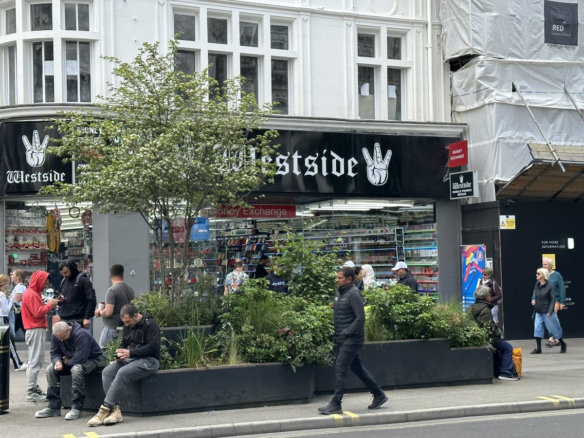
I think it was William H Whyte who said something like “We found that people sit where they can sit”. There are some great illustrations of that principle on Oxford Street.


Having, over the years, become accustomed to the fact Oxford Street’s offer does not match its international reputation, I would have been unlikely to pay any attention to these shops, had not recently read the following article.


I should perhaps add that I know nothing about the candy/sweet shops pictured. They simply reminded me of this piece: standard.co.uk/insider/oxford…
Another recent addition to Oxford Street that’s doubtless more popular with more people - the Elizabeth Line.

I’ve crossed into New Oxford Street, and therefore from Westminster into Camden (5/6). It has quite a different feel from the ‘old’ part.


As I move on, a little story from earlier. Gent seated is waiting for his wife, who’s in the shop opposite. He notices the badly-parked @tier_mobility bike, and moves it. He didn’t have to move it, and shouldn’t have felt he needed to; but he nevertheless did. 🙂


So easy to go wrong here. Left is all very well - Bloomsbury Way-Theobalds Road-Clerkenwell Road - but it ain’t the historic route I’m tracing.

In my view, Kingsway (viewed here from outside Holborn tube station, where my route is now named High Holborn) is right up there with Holland Park Avenue as a was-and-could-be-but-isn’t grand Avenue for all. Will Camden or K&C be first to show how it can be done?

Camden’s current focus in this area is (rightly) on trying to sort out the ‘notorious’ Holborn gyratory. It has a dreadful safety record, especially for people on cycles. (The literally lethal Southampton Row junction isn’t on my route.)


First photo is Chancery Lane with the tube station that bears its name way off in the distance. The station accesses are right on the junction with Gray’s Inn Road. Is the reason the station isn’t named after the latter because it’s longer & so potentially more confusing?


Further along is Holborn Circus. The first photo is from 2012 (Google). Remodelled around a decade ago (I recall being at the ‘opening’), the current arrangement is better than the old, but not unimprovable.


Moving into my 6th & final ‘borough’ - the City of London - I now cross the rather spectacular Holborn Viaduct, over Farringdon Street. There are steps between levels on all 4 corners and lifts on the northern 2 (though 1 is only part-time).


I was about to cavil at the naming of this pub, on similar proximity-related grounds as per my previous Chancery Lane whinge. However, I see it’s right at the end of the viaduct-named street, so I’ll let it pass.


The east end of the old London-Oxford Road (now A40) is at the junction with the old Great North Road (now A1). Newgate Street meets St Martin’s Le Grand by St Paul’s tube station. The junction layout is hardly fitting of its status, but that, nevertheless, is the end of my walk.


My final tweet of this thread, however, is of one my favourite tube signs, at the bottom of the St. Paul’s escalators. To Street. I’m not keen on turning nouns into verbs, but all such rules have exceptions that prove them. No? #WalkThisMay #NationalWalkingMonth #StreetAtAllTimes

@threadreaderapp please unroll. Thank you.
@threadreaderapp please unroll.
• • •
Missing some Tweet in this thread? You can try to
force a refresh


