Misgar Gojal > Hunza > Gilgit-Baltistan > Pakistan. The Ancient Passage, which historians consider to be a branch of the ancient Silk Road, China near the Wakhan Corridor. Gilgit-Baltistan used to connect Russia, Afghanistan, and Central Asia
#GilgitBaltistan #Passes #Hunza


#GilgitBaltistan #Passes #Hunza


for trade with sub-continent Pakistan and further Burma and East Asia. It was said that around 1850, the imperial incursion of the British Crown in Gilgit and the support of the Hindu Dogars and the fear of Russia was due to this passage, which is called the natural route of


#Mintika and #Kilik, near the #Wakhan Corridor and #Afghanistan. The daily changing conditions have made the importance of this place, and Tehsil #Ashkoman is very important.
The village of Misgar, located in the extreme north of Gojal in the upper region of #Hunza district,


The village of Misgar, located in the extreme north of Gojal in the upper region of #Hunza district,


near the border of China and Afghanistan, is of great importance from the point of view of history, defence, and tourism.
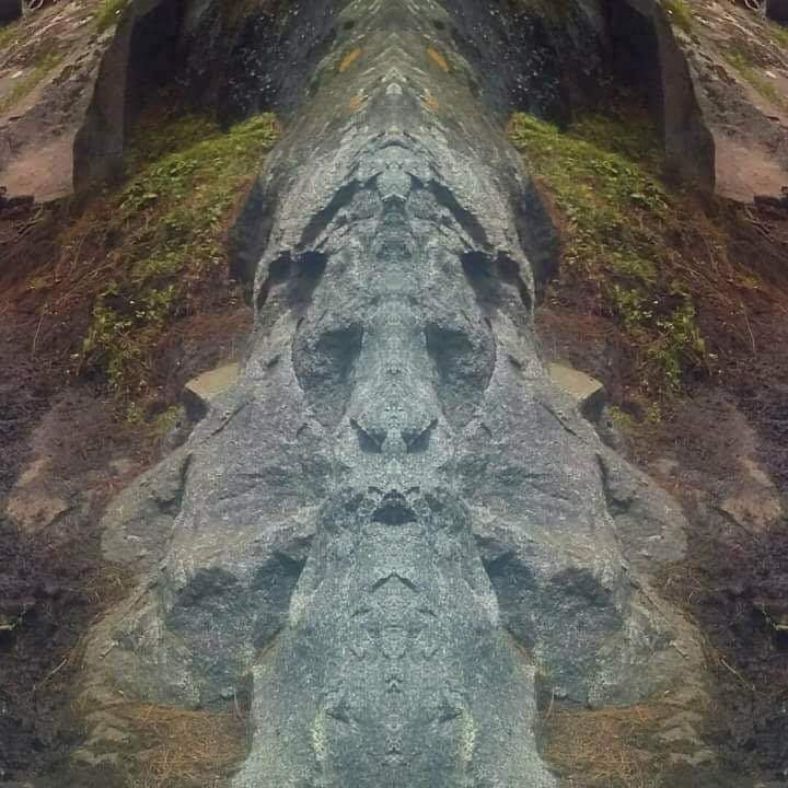
The name Misgar is probably a combination of two Wakhi words, Mis (nose) and Ghahar (stone). It is said that there is a stone in the shape of a nose,


The name Misgar is probably a combination of two Wakhi words, Mis (nose) and Ghahar (stone). It is said that there is a stone in the shape of a nose,

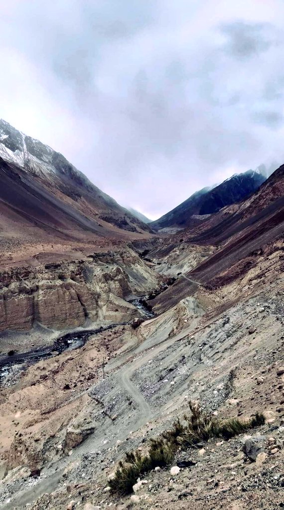
and perhaps this is the reason why it became the name.
One hundred percent of the population of Masgar village near the #Pamir Plateau speaks Brushski language, which is the most unique, beautiful, and fertile language of the majority population of Hunza district.
#Pamir


One hundred percent of the population of Masgar village near the #Pamir Plateau speaks Brushski language, which is the most unique, beautiful, and fertile language of the majority population of Hunza district.
#Pamir


The people who settled in Misgar were brought here from different areas of central Hunza around 1844. It is said that the Brushski speaking people were settled here by the subordinate rulers of Hunza for defensive and strategic purposes.
#Karakoram #Hunza #People #Culture


#Karakoram #Hunza #People #Culture
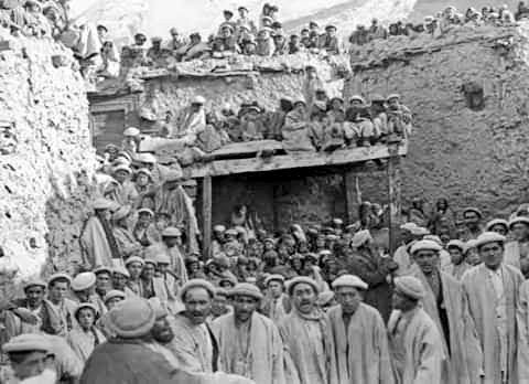


Initially, 21 people belonging to the four major tribes of Hunza settled here, and over the past one and a half hundred years, these workers have transformed this picturesque valley into a beautiful valley.
There are two main passes located in Misgar. One, the Mintaka Pass,


There are two main passes located in Misgar. One, the Mintaka Pass,

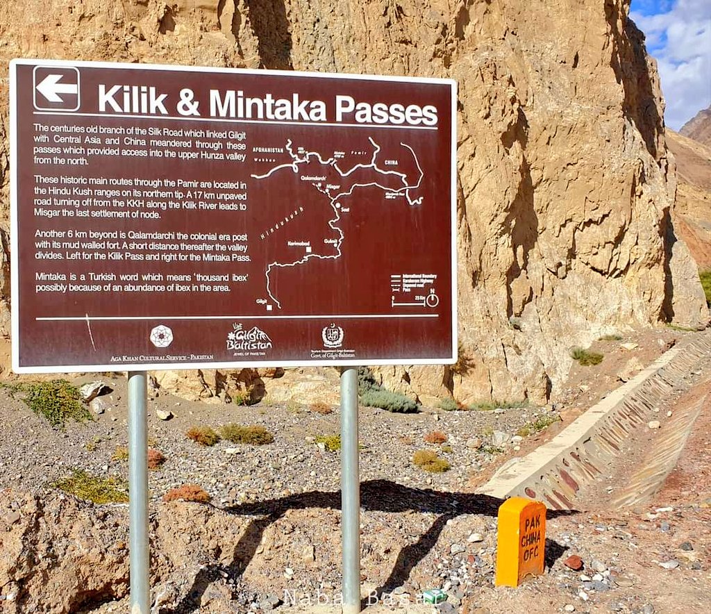


and the other Kilik Pass give access to China's semi-autonomous region of Xinjiang, and for centuries, traders, raiders, herdsmen, and other groups of people have passed through these passes. Noted author @odysseuslahori has described the Mintaka Pass (15,400 feet above sea


level) as an "ancient alternate route" to enter the subcontinent. He wrote that two hundred years before Christ, European Asiatic-Eurasian nomads called Scythians entered through this pass, traces of which still exist.
It is said that there are traces of graves of some Kyrgyz


It is said that there are traces of graves of some Kyrgyz


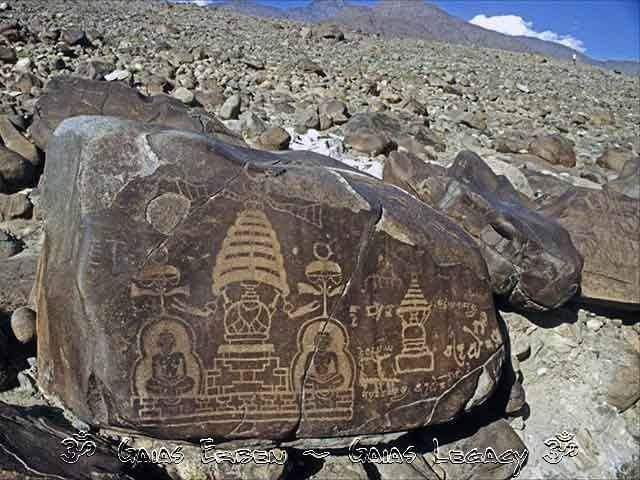
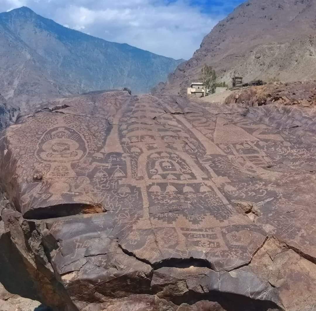
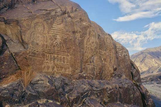
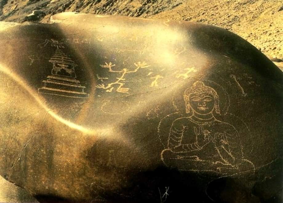
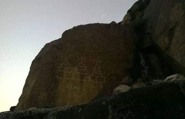
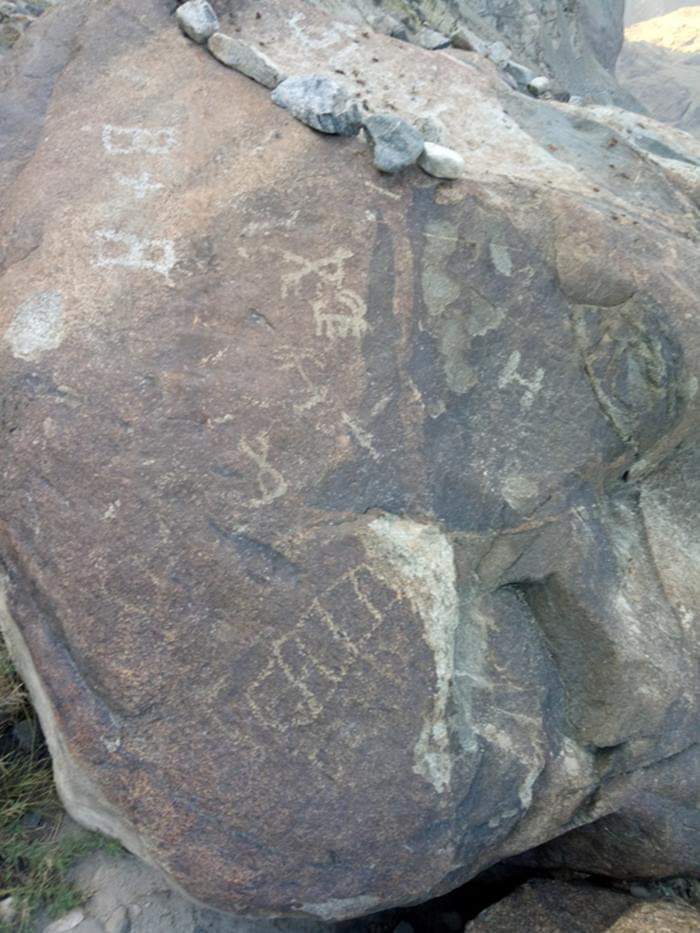
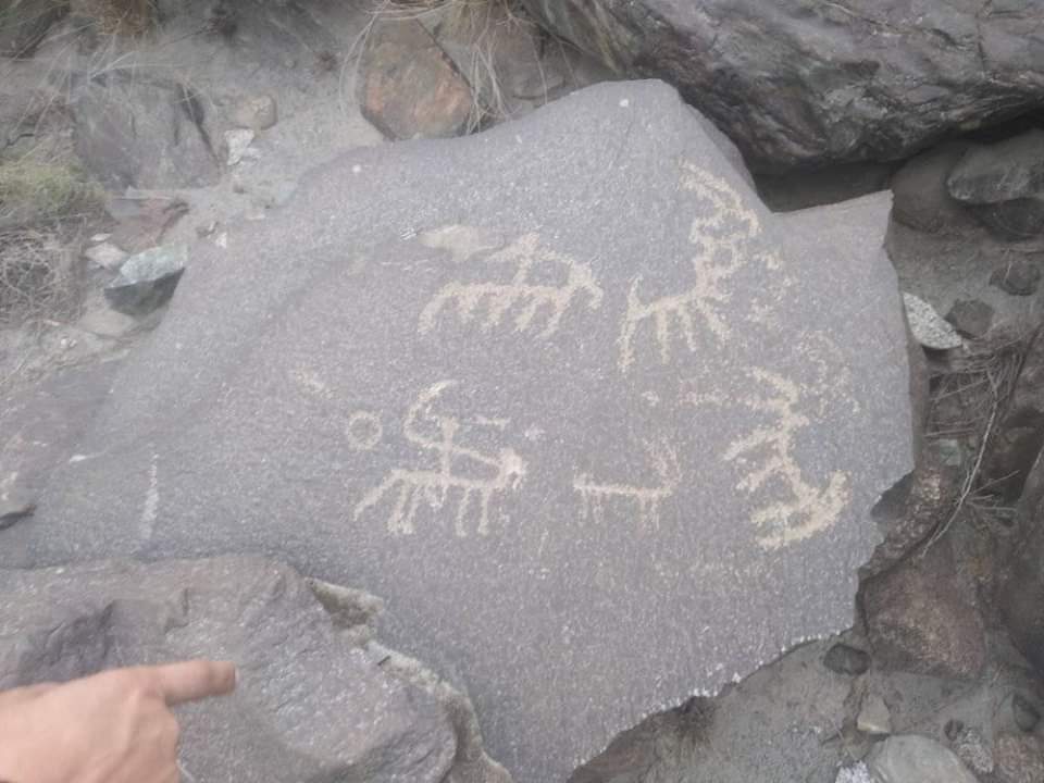
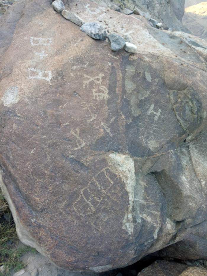
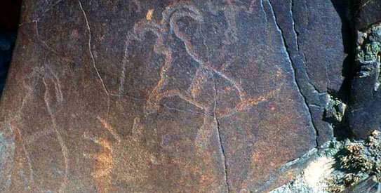
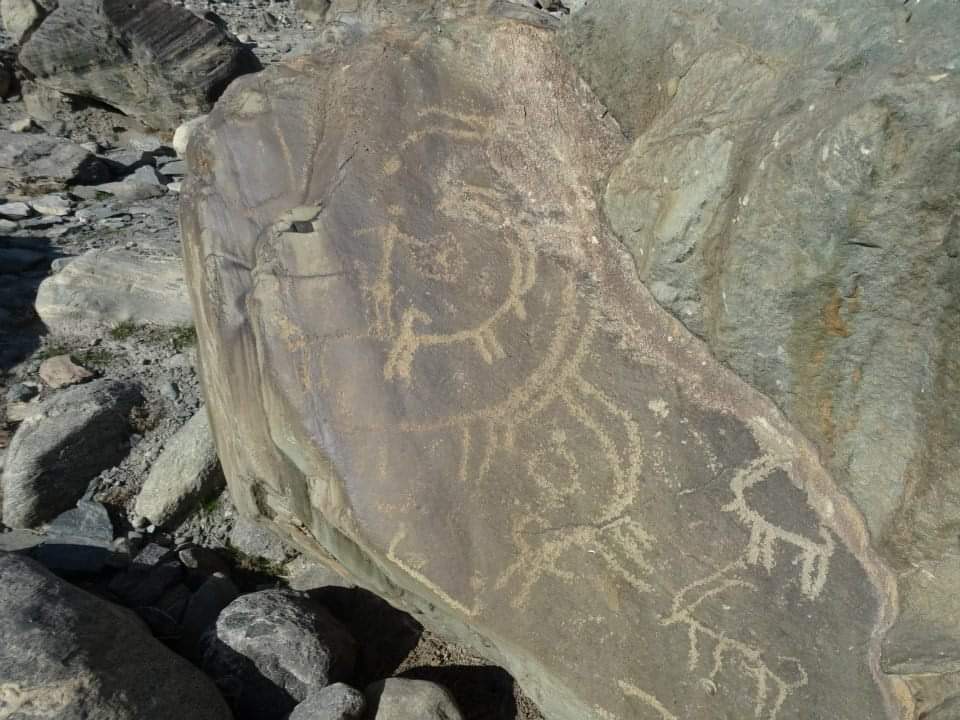
nomads in Morkushi, a suburb of Misgar. Stone carvings with Buddhist symbols and animal figures are also found in these areas. These signs show that there has been human migration across these passes.
The importance of these passes was understood by


The importance of these passes was understood by


the Mir of Hunza, as well as the British government occupying the area. Therefore, a relatively small military fort was built in the 1930s at a place called Qalandarchi, which still exists today. It was the British who built the first post office in the history of


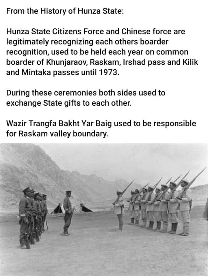


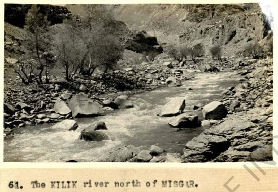
Gilgit-Baltistan in Msgar, so that the official mail could be delivered easily with China. About 30 kilometres to the west of Mintika Pass is Kilik Pass, which is about fifteen thousand eight hundred feet above sea level.
It is said that the British also occupied Hunza in


It is said that the British also occupied Hunza in


order to gain control of important international ports, including Mintika and Kilik Pass.
Kilik and Mintaka Passes are of great interest from the tourist point of view, but reaching these passes is not so easy, as one can drive through the beautiful village of Misgar to the


Kilik and Mintaka Passes are of great interest from the tourist point of view, but reaching these passes is not so easy, as one can drive through the beautiful village of Misgar to the


Qalandarchi fort, after which support of arms and legs is required.
#GilgitBaltistan #History #silkroads #Passes #Karakoram #Himalayas #Hindukush #Pamir #Hunza #North #Kilik #Mintika #Misgar #Gojal #Qalandarchi #Fort #Fortresses #CentralAsia #highasia
@odysseuslahori


#GilgitBaltistan #History #silkroads #Passes #Karakoram #Himalayas #Hindukush #Pamir #Hunza #North #Kilik #Mintika #Misgar #Gojal #Qalandarchi #Fort #Fortresses #CentralAsia #highasia
@odysseuslahori


• • •
Missing some Tweet in this thread? You can try to
force a refresh

 Read on Twitter

