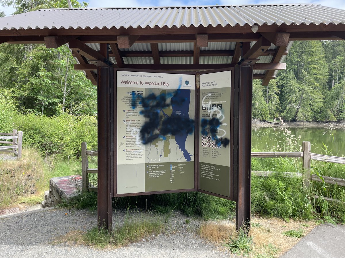
All good hikes must come to an end, and in this case, I’ve made it back to my car sweaty, exhilarated, and craving something greasy.
Today is my last day at @waDNR, and I can't help but look back with gratitude (and a little bewilderment tbh)
Today is my last day at @waDNR, and I can't help but look back with gratitude (and a little bewilderment tbh)
These past three years, I’ve had the privilege to work with and learn from some of the most passionate and brilliant public servants in Washington state.
Here's a look back on some of my favorite things we made together:
Here's a look back on some of my favorite things we made together:
That time we all agreed setting the state on fire is bad
https://twitter.com/waDNR/status/1565717936190496769
That time you really tested me (and I didn't study)
https://twitter.com/waDNR/status/1608139202843267072
That time we cheered on our favorite anadromous fish
https://twitter.com/waDNR/status/1577822726139809792
That time everyone reacted very normally to a basic "drink water" PSA and totally didn't resort to talking about cannibalism
https://twitter.com/waDNR/status/1565019137822564352
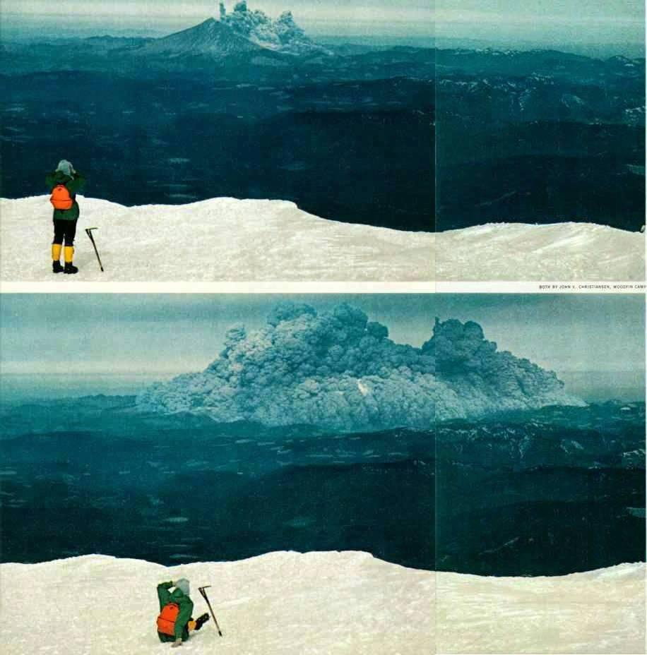
That time we made you aware of volcanoes
https://twitter.com/waDNR/status/1653084887170301952
That time Kate Bush taught us about proper tsunami evacuation methods
https://twitter.com/waDNR/status/1545442943716040705
That time Emily W. offered some joy - and some color - to the gray walls of my cubicle
https://twitter.com/waDNR/status/1651293344583262209
That time we all fell in love with a very bewildered owl
https://twitter.com/waDNR/status/1612868394822557696
That time our hearts went out to the starving trash cans
https://twitter.com/waDNR/status/1584565880175972355
And, because I'm nothing if not a sap, that time we went viral for the first time
https://twitter.com/waDNR/status/1425482155392569348
Thanks for making this so fun. Thanks for all the replies. I laughed at a lot of them. I was moved by some of them. And a few of them just straight up concerned me (again the cannibalism thing).
You all are great. I'll miss you.
And remember: Don't set the state on fire. 🫡
You all are great. I'll miss you.
And remember: Don't set the state on fire. 🫡
• • •
Missing some Tweet in this thread? You can try to
force a refresh


