Here is a thread of #maps of Colombia.
Forests 1/13
Forests 1/13

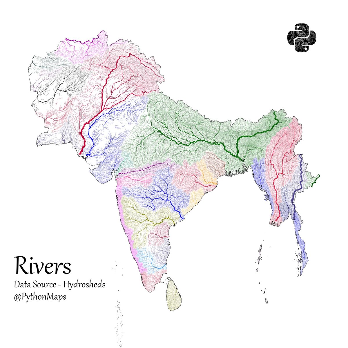
Rivers 2/13

River temperature 3/13

Grasslands 4/13

Pastures 5/13

Evapotranspiration 6/13

Precipitation 7/13

Topography 8/13

Croplands 9/13 - Surprised by how sparse this is. Presumably this dataset is limited to "legal" crops.

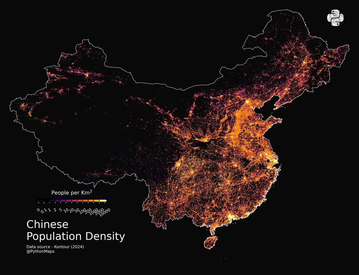
Population 10/13

Roads 11/13

Human Impact - 12/13

Livestock 13/13

• • •
Missing some Tweet in this thread? You can try to
force a refresh