1)Aerial view of Murud Janjira fort: An ancient engineering marvel
Built: In 15th century by Koli chieften
It reflects the marvel of ancient engineering. The fort stands withan impressive height of 40ft and is bounded by high walls on all sides. The fort was made by a mixture
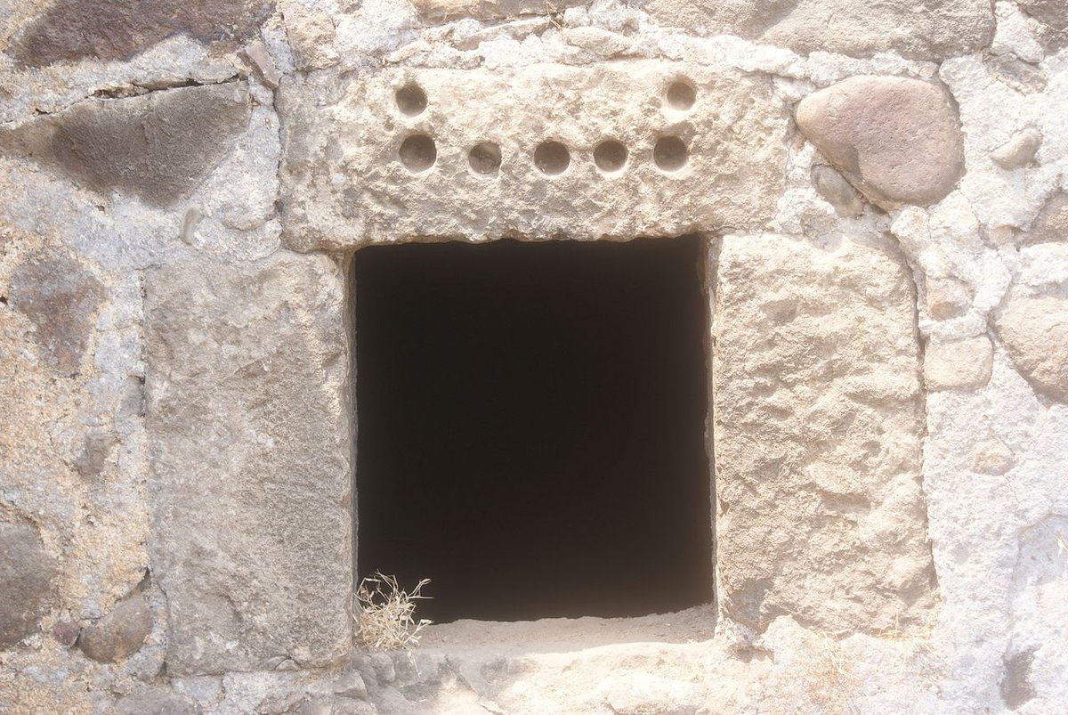
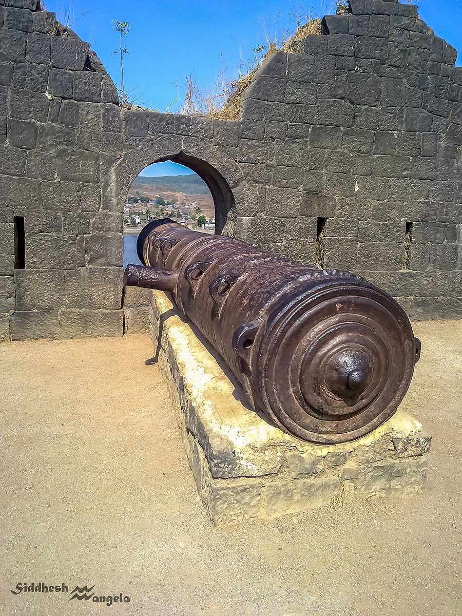
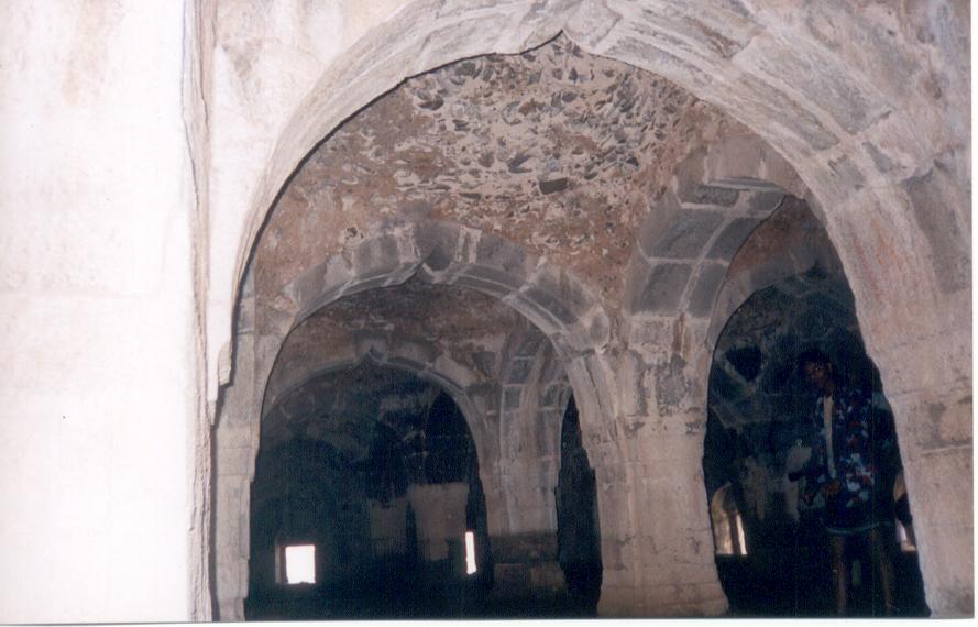
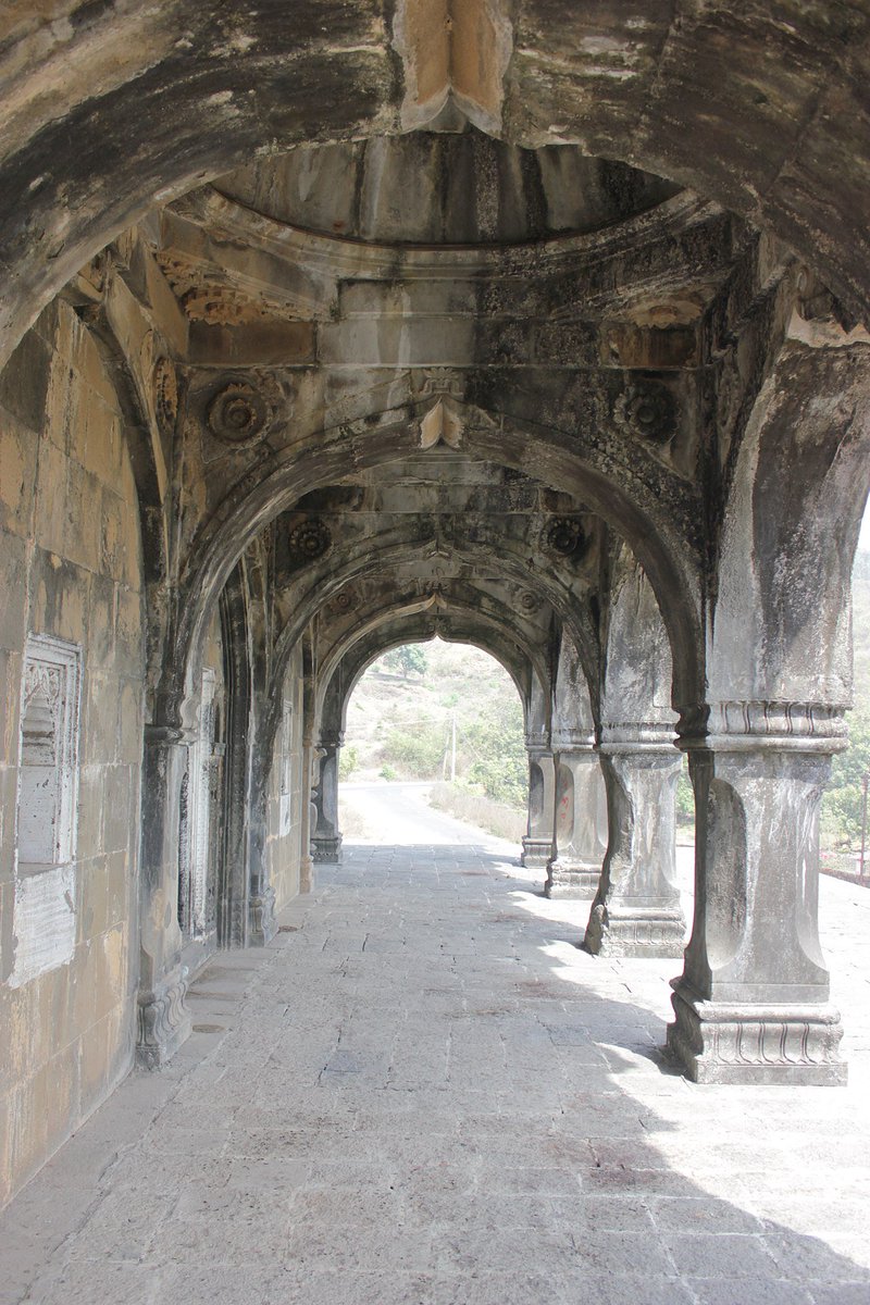
2.of lead, sand and gul. The main gate of the fort faces Rajapuri on the shore and can be seen only when one is quite close to it. It has a small postern gate towards the open sea for escape. The fort has 19 rounded bastions, still intact. On the outer wall flanking the main gate
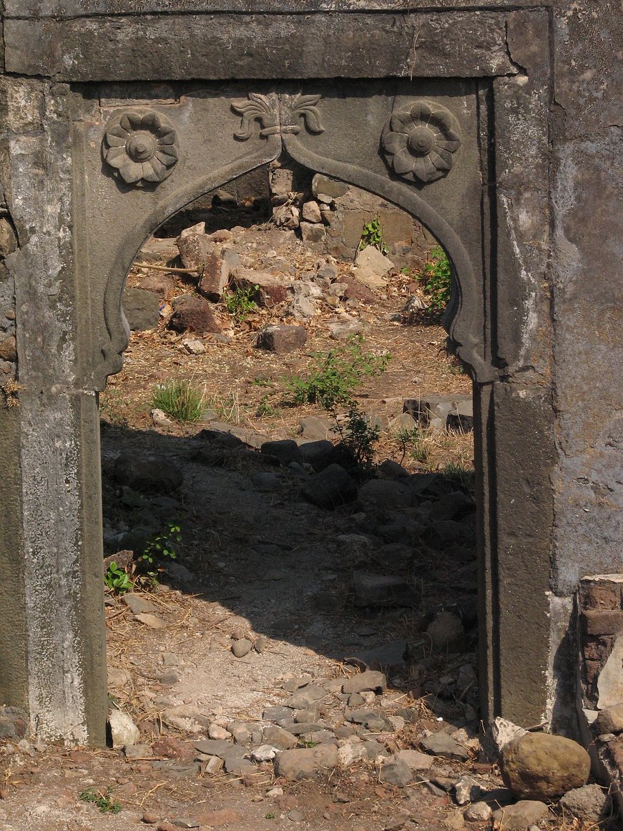
3.there is a sculpture depicting a tiger-like beast clasping elephants in its claws[It is actually Yali devouring elephant and can be observed at almost every South Indian Temple]. There are prominent lotus motif on all major gates of the fort Janjira.
4.MYTH ABOUT FORT: when you'll visit the fort you'll be told that Fort was built by Siddis. The myth goes like that:
Originally the fort was a small wooden structure built by a Koli chief in the late 15th century. It was captured by Pir Khan,a general of Nizamshah of
Ahmednagar
5.Later, the fort was strengthened by Malik Ambar, the Abyssinian-origin Siddi regent of Ahmednagar kings.
It all began one fine chilling night when the Siddi pirates from Abssynia massacred Ram Patil and his men and seized the wooden bastion which he held on that island.
6.They rapidly fortified the island and the innerfort was completed under Burhan Khan of Rajpuri in 1571.The outer ramparts were completed by 1728 by Siddi Sural Khan. Janjira was a winner from beginning and soon became an invincible base for the Siddis who marauded tradingVessel
7. all along the Malabar coast right upto Bassein.
The biggest lie propagated is that the fort originally was wooden structure. However, it's noteworthy that Arthashashtra clearly mentions that fort must not be completely made of wood.
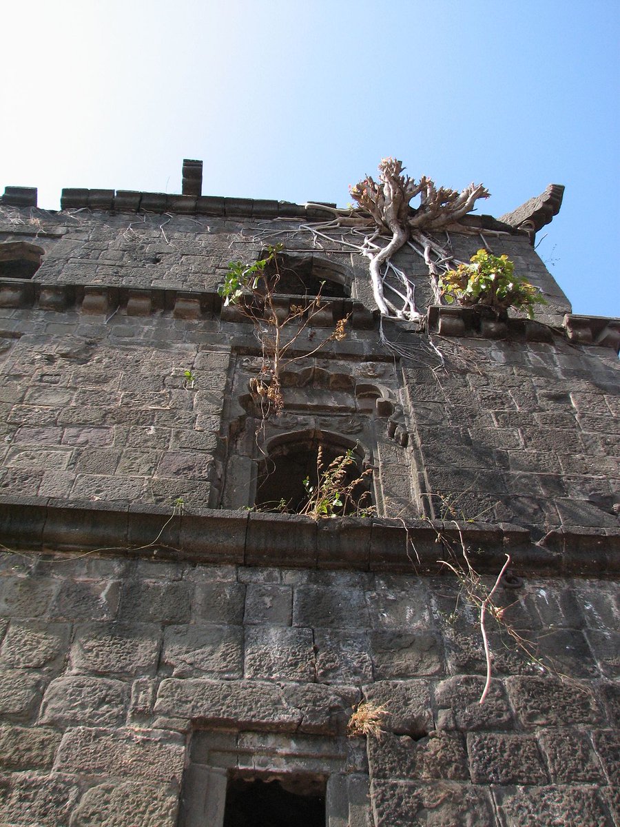
8.And contemporary records also tells us that fort was built by Koli(s) for security purpose so it is absurd that he would have made wooden fort. Sculpture motifs are also strong evidence of its pre-siddi origin. No one is 'idiot' enough to build 'wooden fort' amidst 'salty' sea.
• • •
Missing some Tweet in this thread? You can try to
force a refresh
Do read and RT!
Iconography and Symbolism: A thread on various aspect of the Hindu iconography
In this thread I'm going to highlight Hindu iconography and symbolism and deep philosophical meaning they carry.
1)Brahma from Aihole
His 4 faces are 4 Veda(s).His 4 arms are space.
2). Whole universe is composed of movable and immovable elements originating from Primeval waters(Apah in Vedas). Brahma holds these water hence Kamandalu represents those waters. Kala devours everything being and non-being(at the end, Pralaya) Akshamala represents Kala.
3) Garment is white and non white representing pious and non pious actions. Seven Hamsa(s) in Brahma's chariot are seven regions namely Bhuh, Bhuvah, Svara, Mahah, Jana, Tapa and Satya. Lotus that grew from the naval Vishnu is Meru holding this Universe.
Ancient ruins of temples in Rishiyan, a place named so because of the belief that 84000 ऋषि used to live here. The place is important as ShriRam visited this this place on his way to Chitrakoot. I've also observed some spectacular hydrological enginnering seen rately. 1/n
Here this one is most extant temple devoid of any deity. Stylistically it is similar to temples of region. I believe there were 3 such shrines with common Mandapa(like Trikuta temples of Hoysala). See the fineness of craftsmanship unfortunately most of it was smuggled.
Note rock cut sculptures of Ganesha and serene environment in Monsoons. See the ruins of temples scattered over a wide area. 3/n
Thread: A collection of drawings made by Oviyar Shilpi, famous for his detailed renditions of South Indian art and architecture.
Compilation credit: AnuSri
1. From VenuGopal shrine in SriRangam Temple 2. Saraswati 3. Ganesha and Chennakeshava Temple, Belur
1. Probably Belur 2. Ram and Sugriva from VaikunthaPerumal Temple 3. Dakshinamurti
A brief thread on the ancient history of Simraungarh and Mithila
1)Simraungarh is one of the most important archeological site, erstwhile capital of Karnata Dynasty between ~11-14th century CE. It is located on the border of Nepal and NE Bihar state.
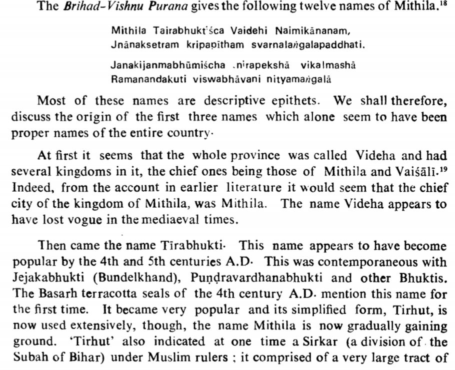
2) The region was also known as Videha, Mithila, Tirabhukti or Tirhuta.
YajnaValkya, one of the Vedic Maharshi(s) belonged to this region.
Later Mithila region was ruled by Maurya(s), Gupta(s), Harsha, Pala(s). In 1097CE, the region passed on to the hands of Karnata Dynasty.
3) Karnata Dynasty ruled the region for nearly ~225 years until uprooted by Islamic invasion in mid 14th century CE. Simraungarh was their seat of power and even today we can see vast archeological remains.
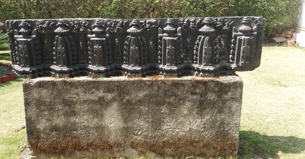
👉Part of ruined temple, crowned miniature shrines
Thread on GunPowder
1)Finely crafted Cannon with tiger's head like opening, Mehrangarh Fort, Jodhpur (Rajasthan)
"India’s military technology is history’s greatest ‘hidden’ secret."
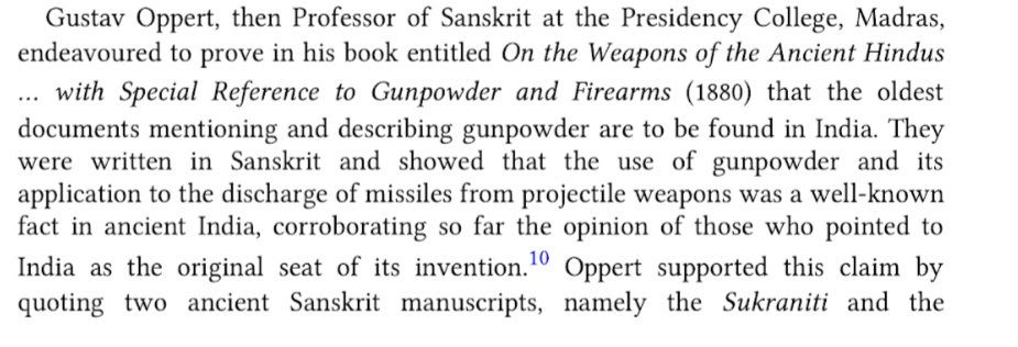
Until early 19th century CE, India alone had total monopoly over production of gunpowder.
2)"Unlike China, with an odd textual reference or a drawing or a singular artefact, was the entire industry in India – which remained unrivalled in the history of the world. Compared to China’s paltry production of gunpowder, India’s widespread and organized gunpowder production
3)...system points towards indigenous development. [There are reports, that in “664 an Indian visitor to China reportedly demonstrated the peculiar flamability of saltpeter and provided instructions on how to locate it (Pacey 1990, 16)."]”
Thread: Extent of India as per John Ogilby in 1673
1)A depiction of some avatars, John Ogilby, 1673
John Ogilby writes,"..India is divided into two great parts, whereof one, which extends from the River Indus to Ganges, is by
2)the Persians call'd Indostan, that is, The Countrey of Indus; and by the Greek and Latine Writers, India intra Gangem, or India within Ganges. The other part is call'd Mangi, or India extra Gangem, or Without Ganges.
3)The second part without Ganges contains the Kingdom of Bengala, Arracan, Pegu, Siam, Malacca, Cambaya, Champa, Lao, Cochinchina, besides many lesser, and lastly the vast Empire of China. Both these parts also comprehend divers Islands, a∣mongst which Japan is easternmost..."