Tim Wallace Profile picture
Sep 17, 2019 29 tweets 14 min read Read on X
I run into these comparative maps all the time—showing one territory superimposed over another—so I'm gonna start dumping them all into this one thread.

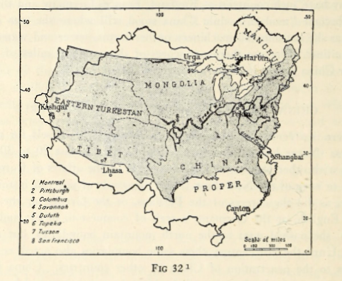
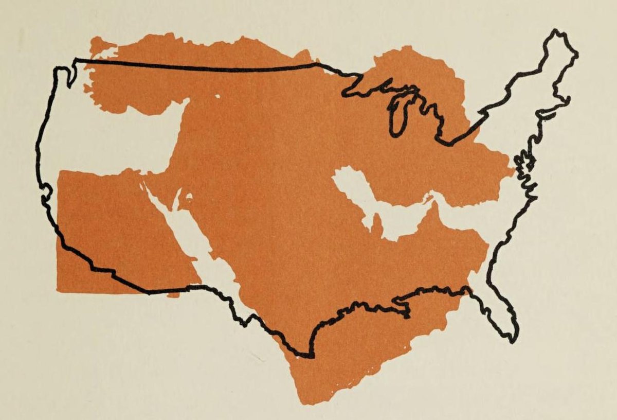
1. Middle East in orange over the US, 1962. archive.org/details/howpeo… Image
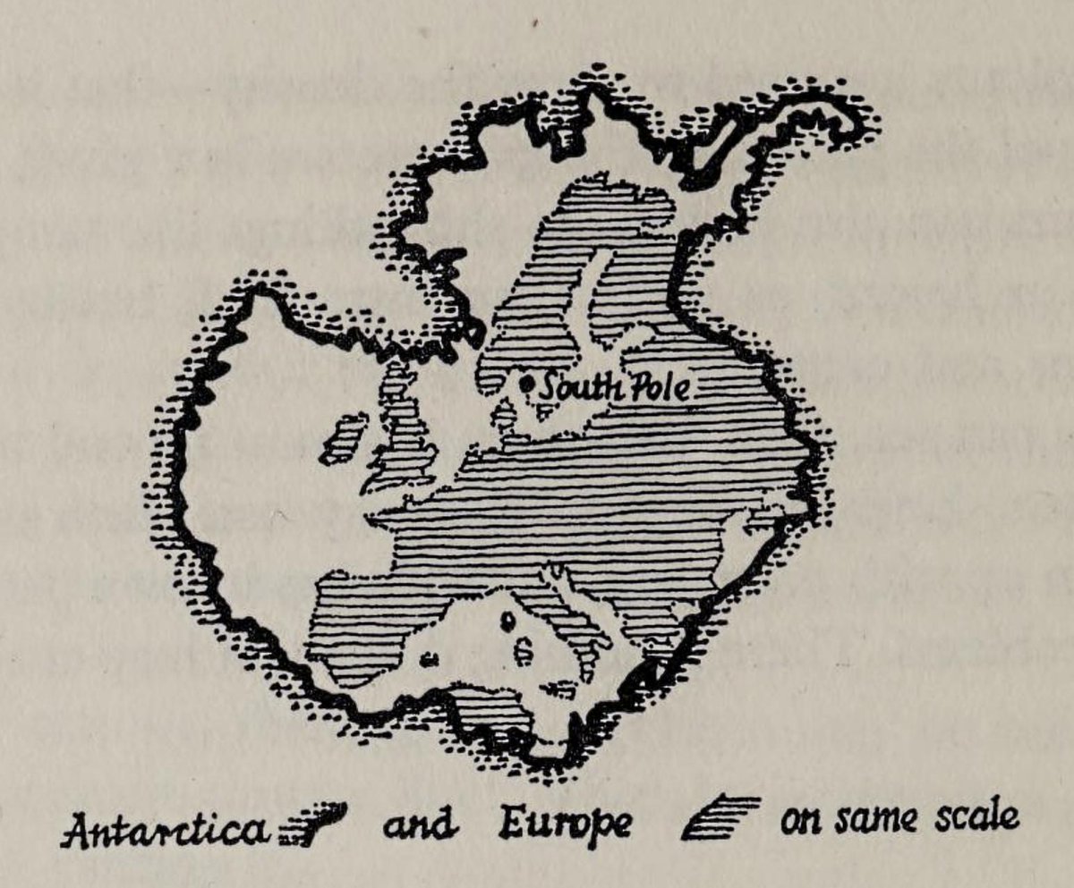
2. Antarctica and Europe on same scale, 1962. archive.org/details/explor… Image
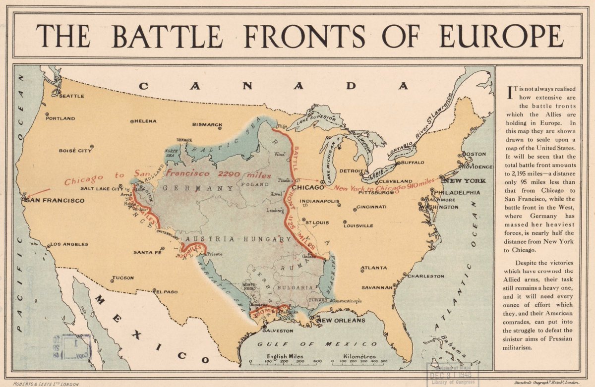
3. The Battle Fronts Of Europe, ~1917. loc.gov/resource/g5701… Image
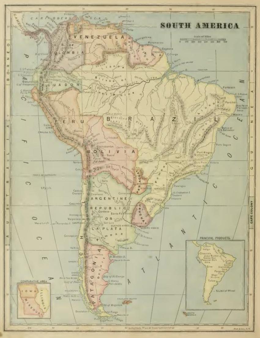
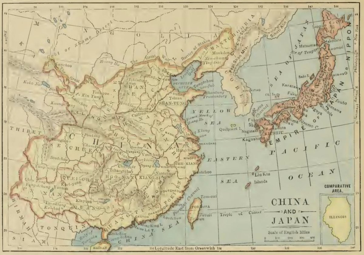
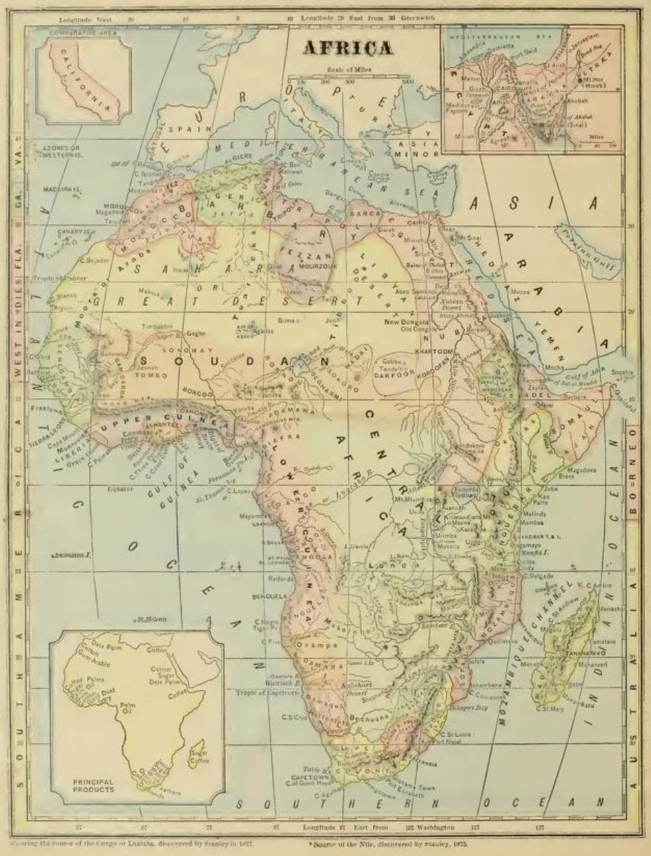
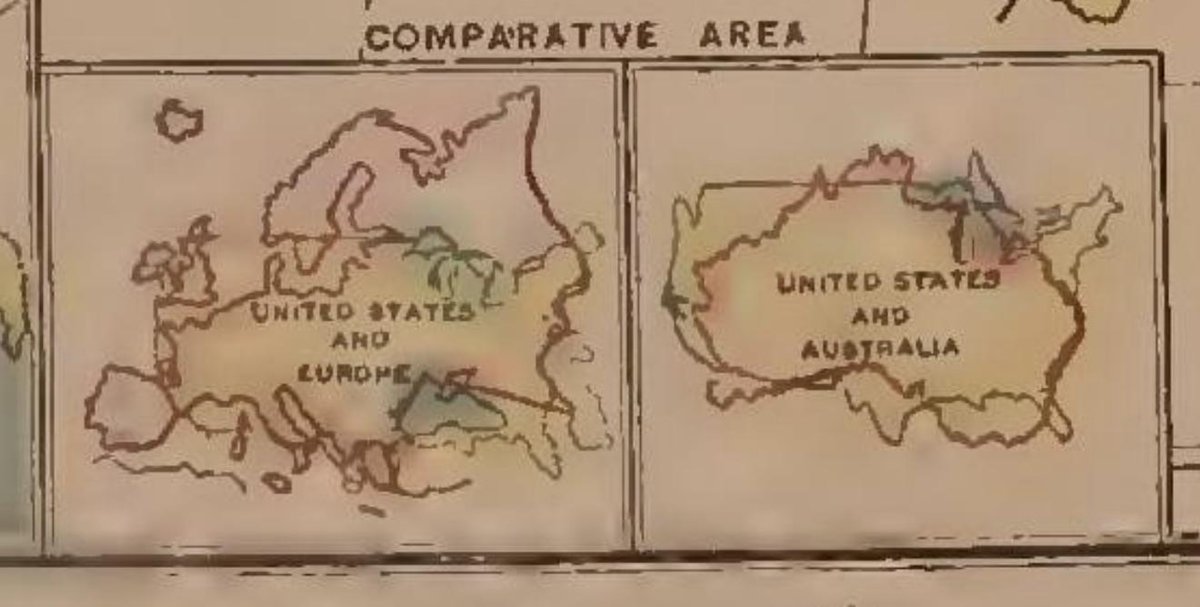
4. Lil tuckers: South America (and Iowa, Missouri and Illinois), China (and Illinois), Africa (and California), etc. 1877 archive.org/details/ost-ge… ImageImageImageImage
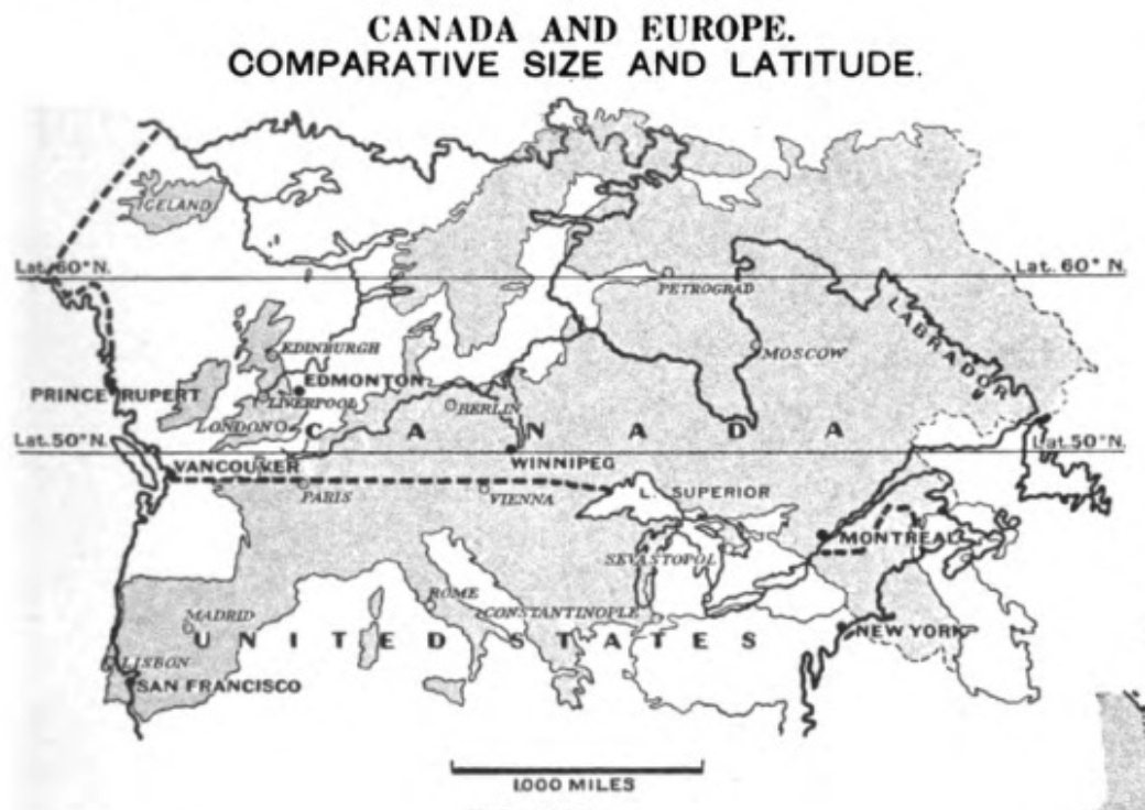
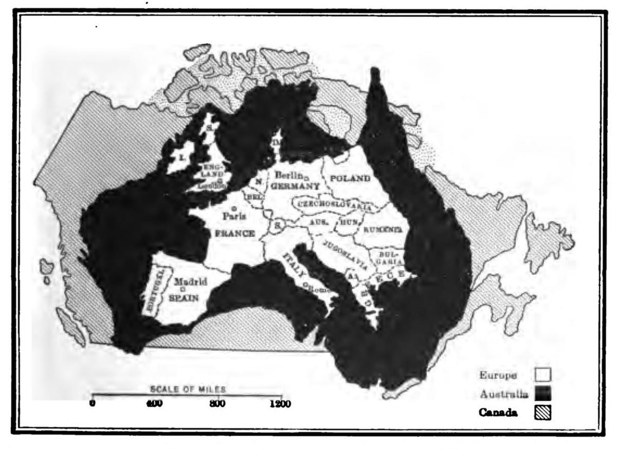
8. Canada, Australia and Europe archive.org/details/geogra… Image
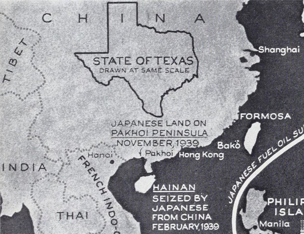
9. Texas on China archive.org/details/life07… Image
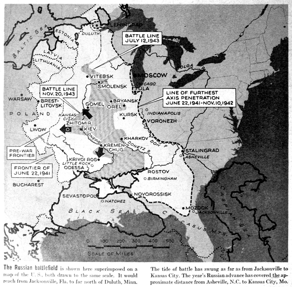
10. The Russian battlefield is shown here superimposed on a map of the U.S. (1943) archive.org/details/life15… Image
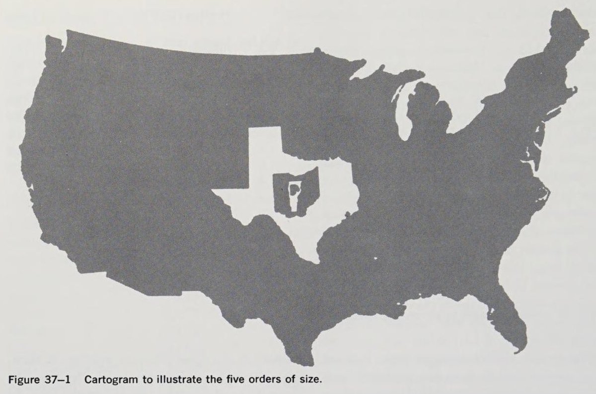
11. Contiguous U.S., Texas, Ohio, Vermont and (a blobby thing that could be) Rhode Island. archive.org/details/geogra… Image
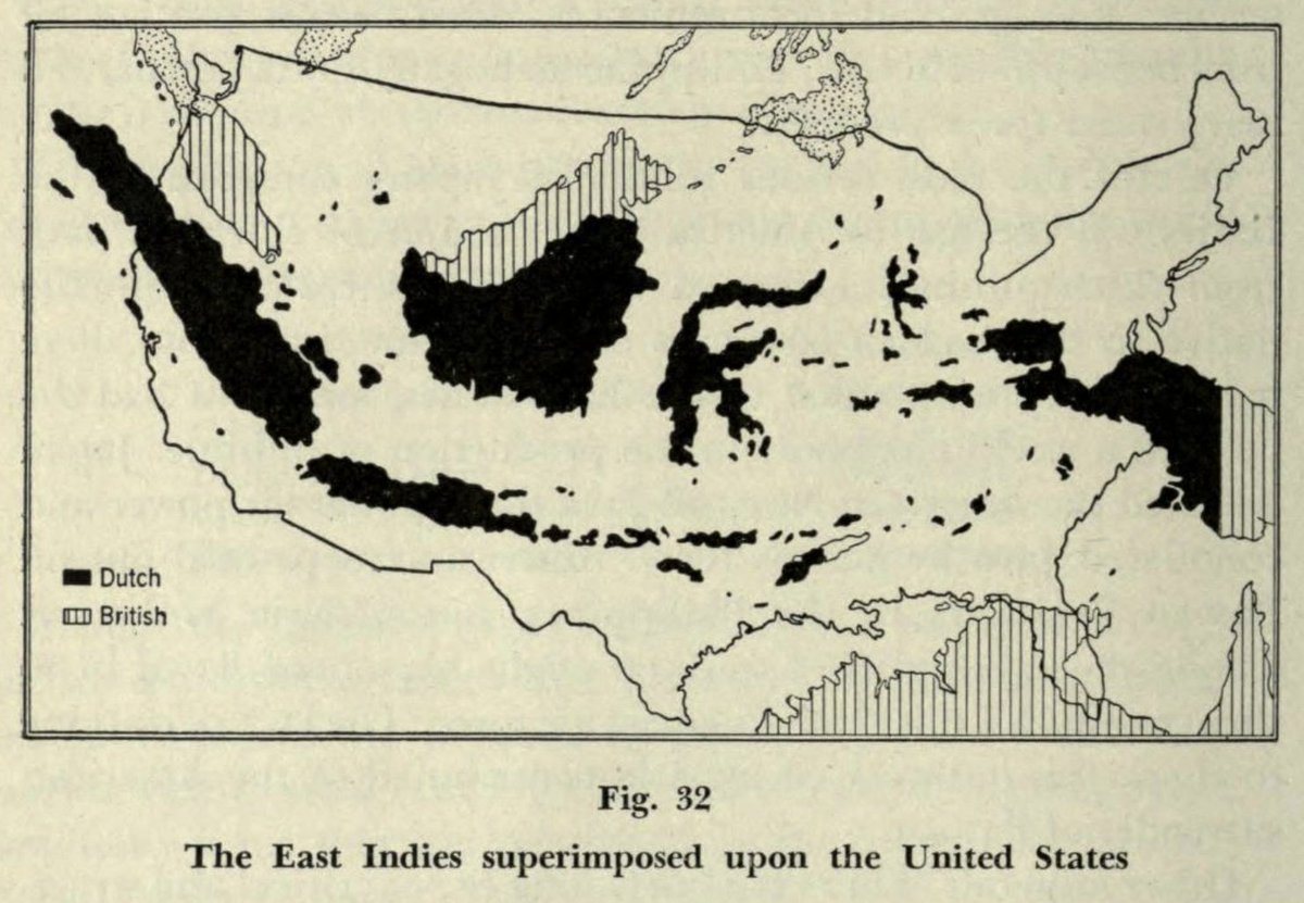
12. The East Indies superimposed upon the United States. archive.org/details/humang… Image
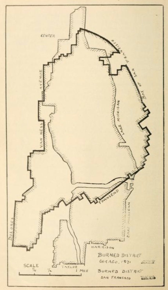
13. This one's a bit different. Typically these comparative graphics rely on familiar geographies. In this case it's mostly about size. Areas burned in Chicago and San Francisco fires. archive.org/details/histor… Image
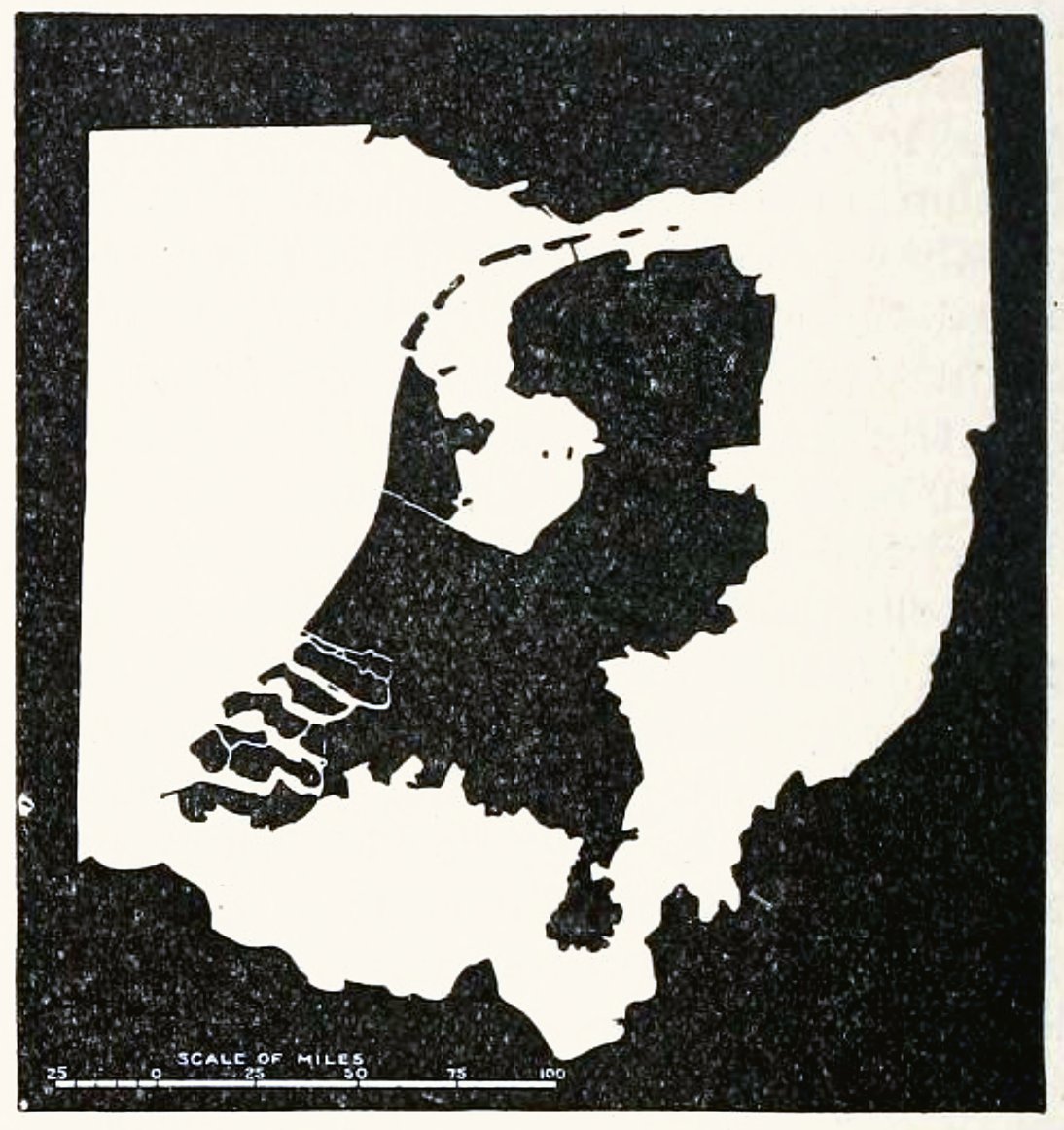
14. The Netherlands and Ohio, 1901. archive.org/details/nation… Image
To be clear—now that I'm more than a baker's dozen in—I cannot vouch for the accuracy of these maps. This is simply a list of a certain form a graphic. Reproduce at your own risk. | Disclaimer thanks to the ever-careful @gabrieldance 🙏
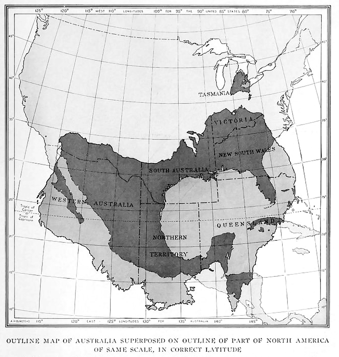
15. Outline map of Australia superimposed on outline of part of North America of same scale, in correct latitude. archive.org/details/nation… Image
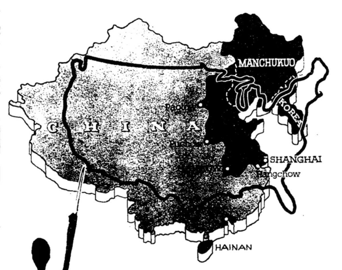
16. "A graphic idea of the extent of Japan's conquests in China—Territory on Asia's mainland now controlled by Japan shown in the same scale with the United States." New York Times, March 12, 1939. Image
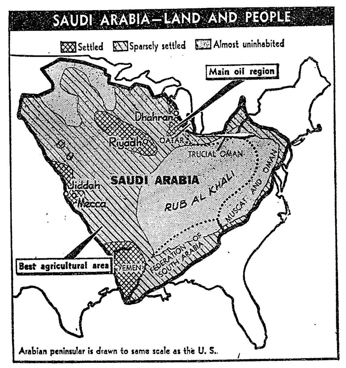
17. "Arabian peninsular is drawn to the same scale as the U.S." New York Times, November 8, 1964. Image
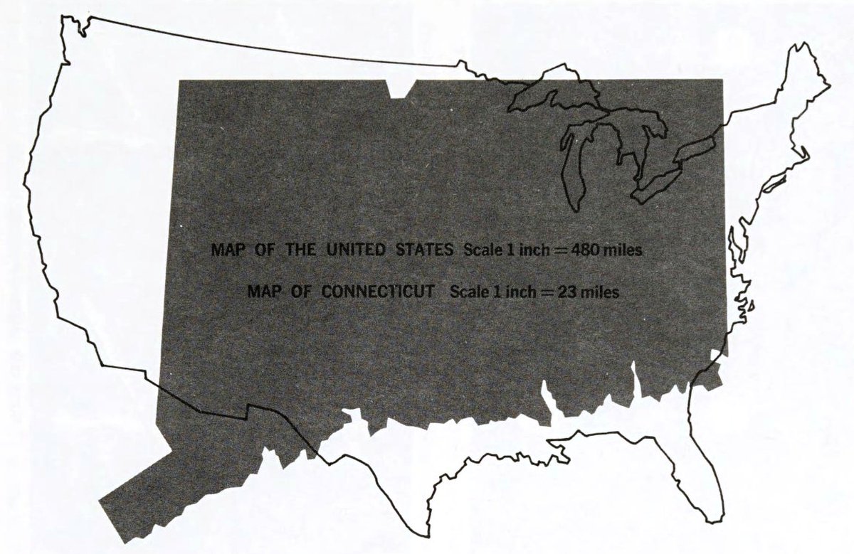
18. Here's one that's explicitly NOT to scale as an illustration of how map scales work. Understanding Maps : Charting the Land, Sea, and Sky, 1969. archive.org/details/unders… Image
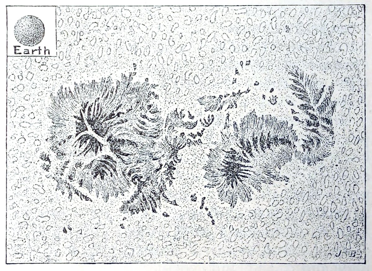
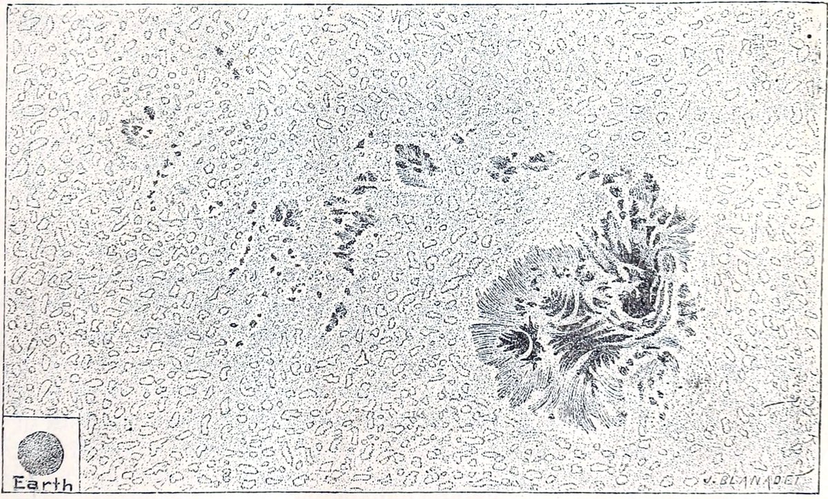
19. Sunspots and Earth. Science, 1883. archive.org/details/scienc… ImageImage
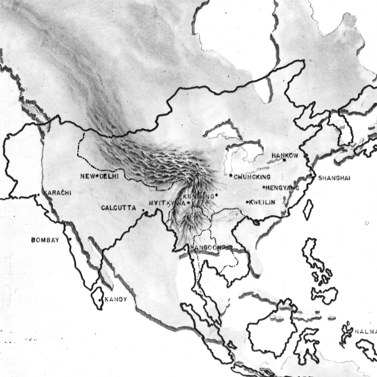
20. Map showing key points in China-Burma-India Theatre of Operations (with North America for scale). 1944 catalog.archives.gov/id/204832063 Image
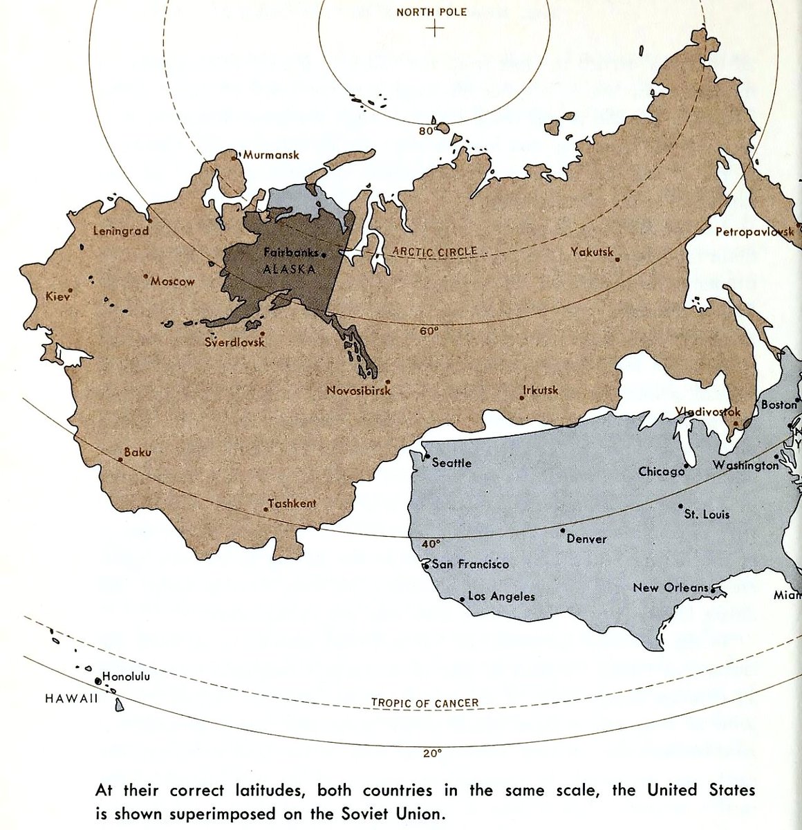
21. "At their correct latitudes, both countries in the same scale, the United States is shown superimposed on the Soviet Union." 1962 archive.org/details/earthy… Image
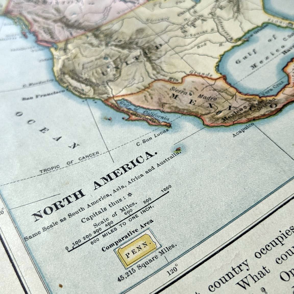
22. Lil comparative area Penn.

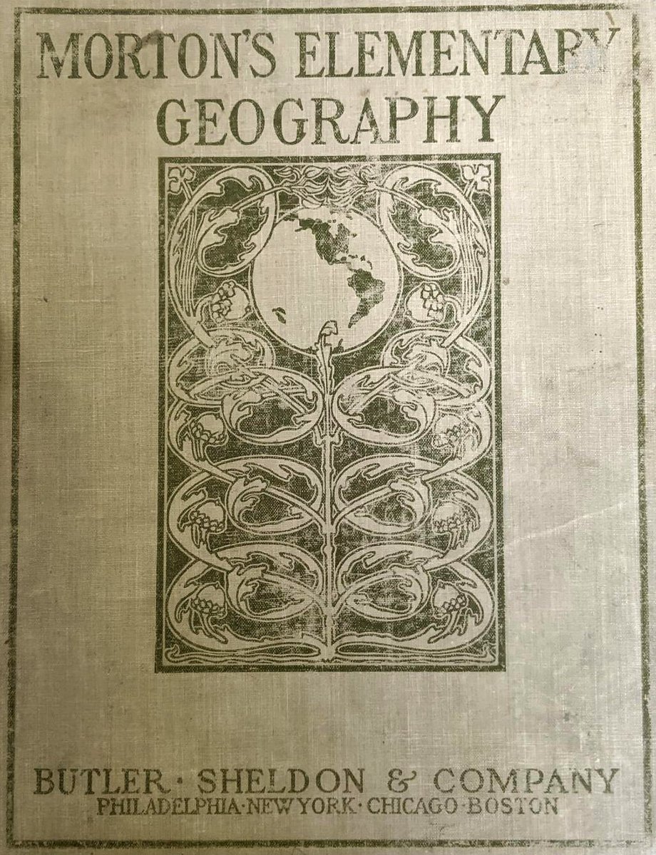
Eliza Happy Morton's Elementary Geography. Kinda figured she was from Pennsylvania based on the use of the state as an area reference here. But she was from Maine (the book was, however, published in Philadelphia). en.wikipedia.org/wiki/Eliza_Hap… ImageImage
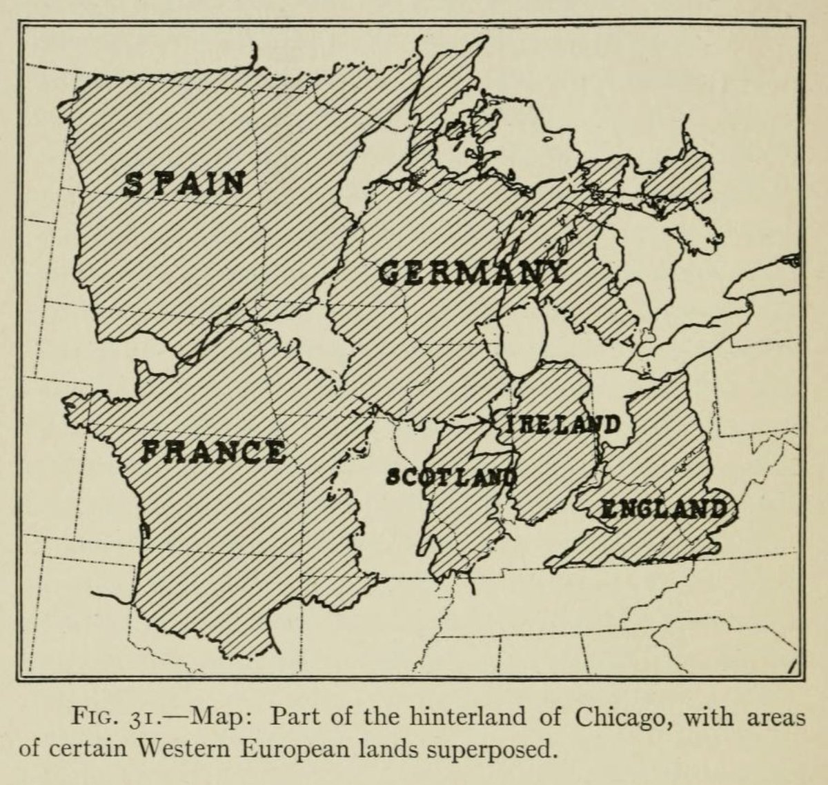
23. Part of the hinterland of Chicago, with areas of certain Western European lands superposed.

Jumbled territories make this more confusing to me than it is a helpful illustration of scale. But the word "superposed" is pretty great.
archive.org/details/geogra… Image
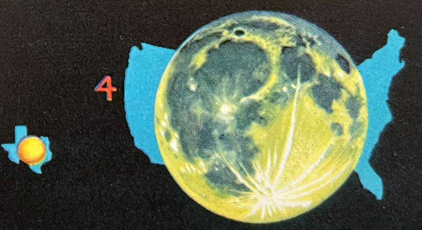
Ceres compared to Texas and the moon compared to the United States. Stars: A Guide to the Constellations, Sun, Moon, Planets and Other Features of the Heavens, c. 1956. Image
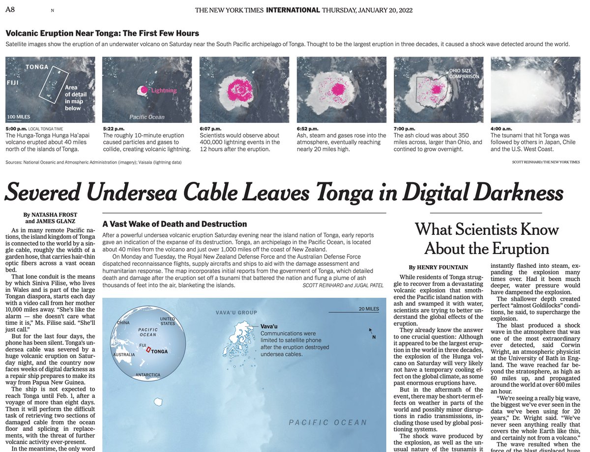
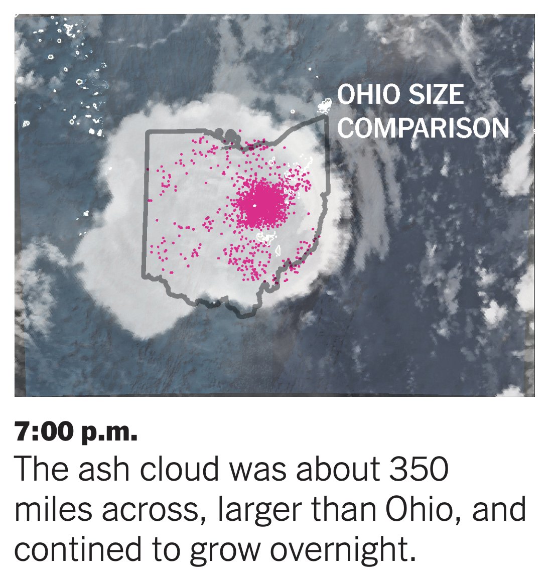
25. In today's @nytimes by @scottreinhard: "The ash cloud was about 350 miles across, larger than Ohio, and continued to grow overnight." ImageImage
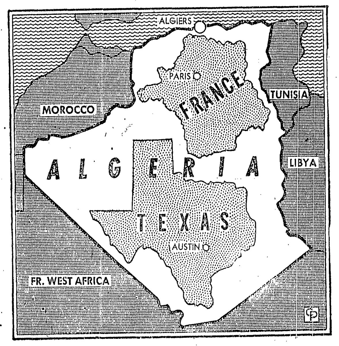
26. Algeria compared to France and Texas. La Prensa, San Antonio, Texas. Feb. 26, 1957. Image
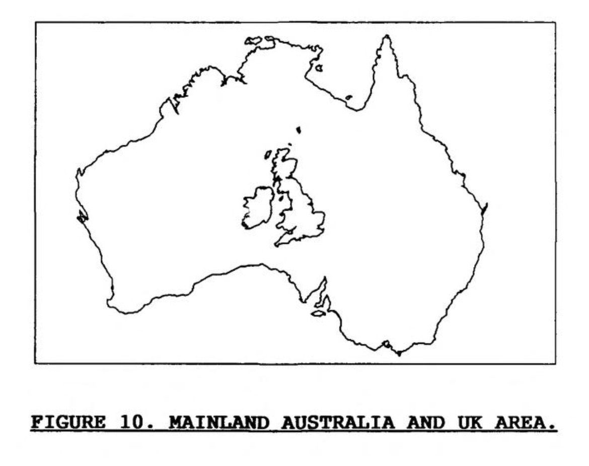
27. Mainland Australia and UK area, 1991. archive.org/details/DTIC_A… Image
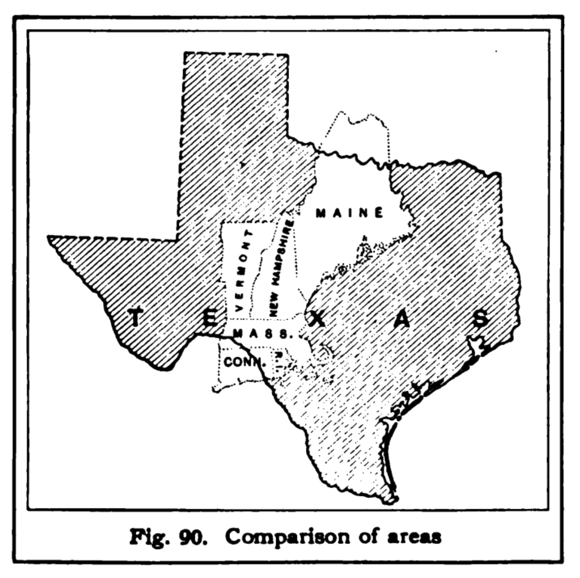
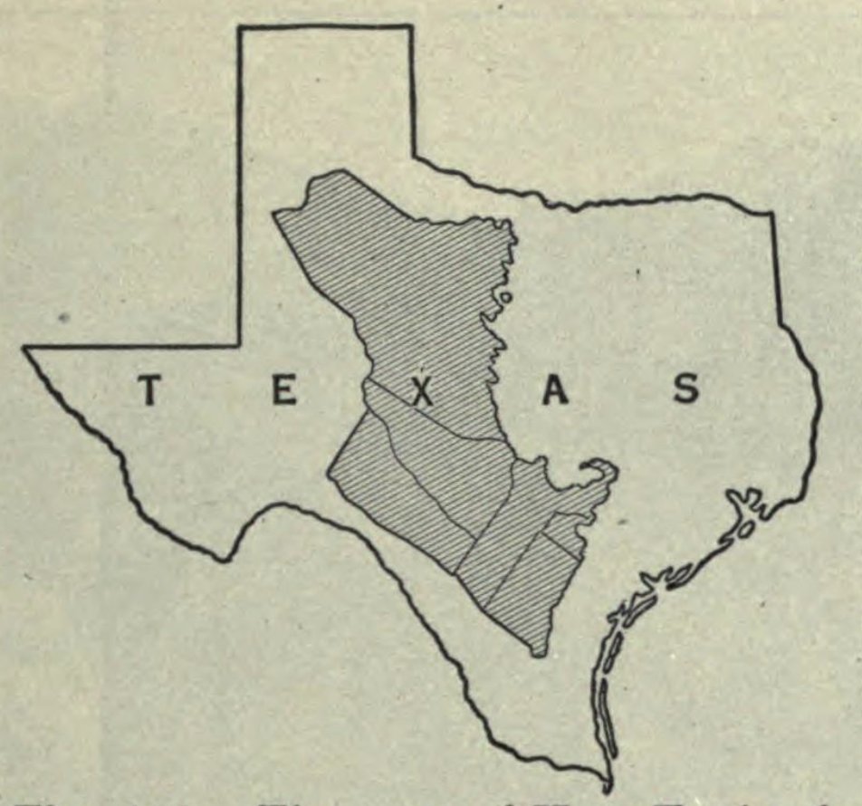
28. The map of New England in the center of Texas archive.org/details/humang… Image

• • •

Missing some Tweet in this thread? You can try to force a refresh
 

Keep Current with Tim Wallace

Tim Wallace Profile picture

Stay in touch and get notified when new unrolls are available from this author!

Read all threads

This Thread may be Removed Anytime!

PDF

Twitter may remove this content at anytime! Save it as PDF for later use!

Try unrolling a thread yourself!

how to unroll video
  1. Follow @ThreadReaderApp to mention us!

  2. From a Twitter thread mention us with a keyword "unroll"
@threadreaderapp unroll

Practice here first or read more on our help page!

More from @wallacetim

Oct 26, 2020
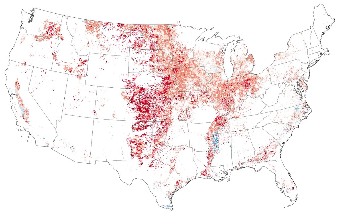
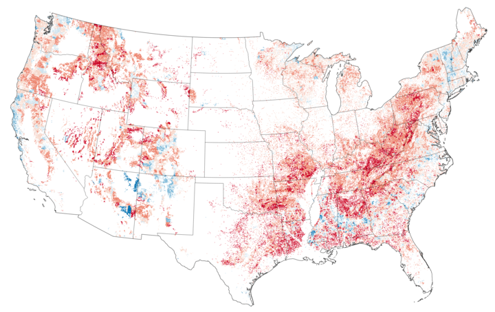
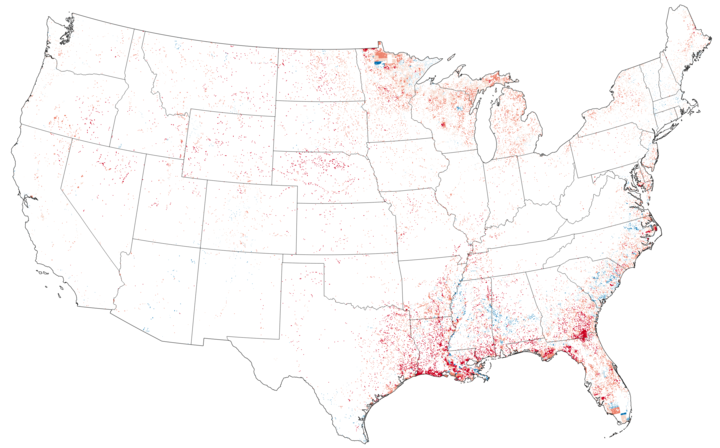
The cartotwitterati love to point out that land doesn't vote (often with a finger wag and a blown gasket or two). Nevertheless (😏), this is how agricultural areas "voted" in 2016.
And forested areas.
Wetlands
Read 6 tweets
Sep 2, 2020
Do the natural colors that paint the landscape you call home give a hint about how you might vote in November? To some degree, yes.

The True Colors of America’s Political Spectrum Are Gray and Green nytimes.com/interactive/20…
I've been staring at earth imagery and election results for at least four years, trying to find some kind of key trend in the relationship between the two. But for the most part, what I saw was either obvious or uncompelling (no offense, former me).
But then I started workin with the inimitable @k3blu3 & we could think realistically about cranking through proverbial piles of data.

Last winter, I started playing around with this idea of color swatches acting as a sort of landscape fingerprint.
Read 10 tweets
May 18, 2019
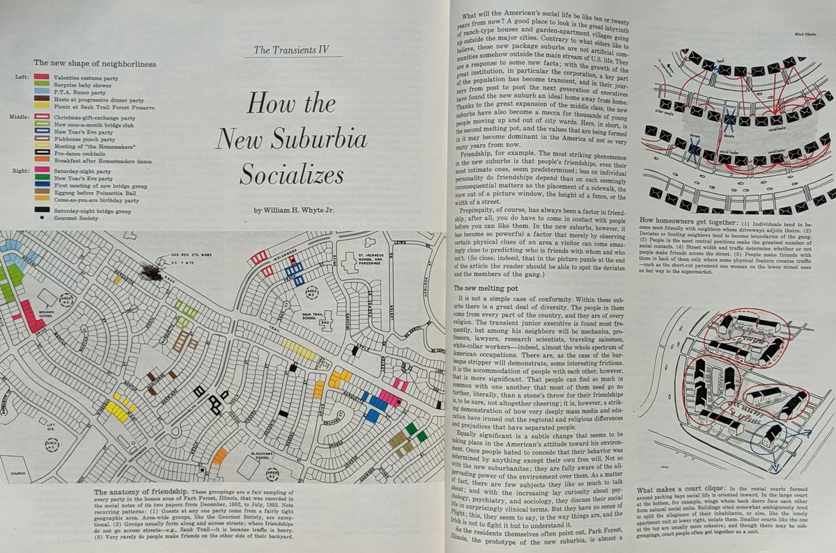
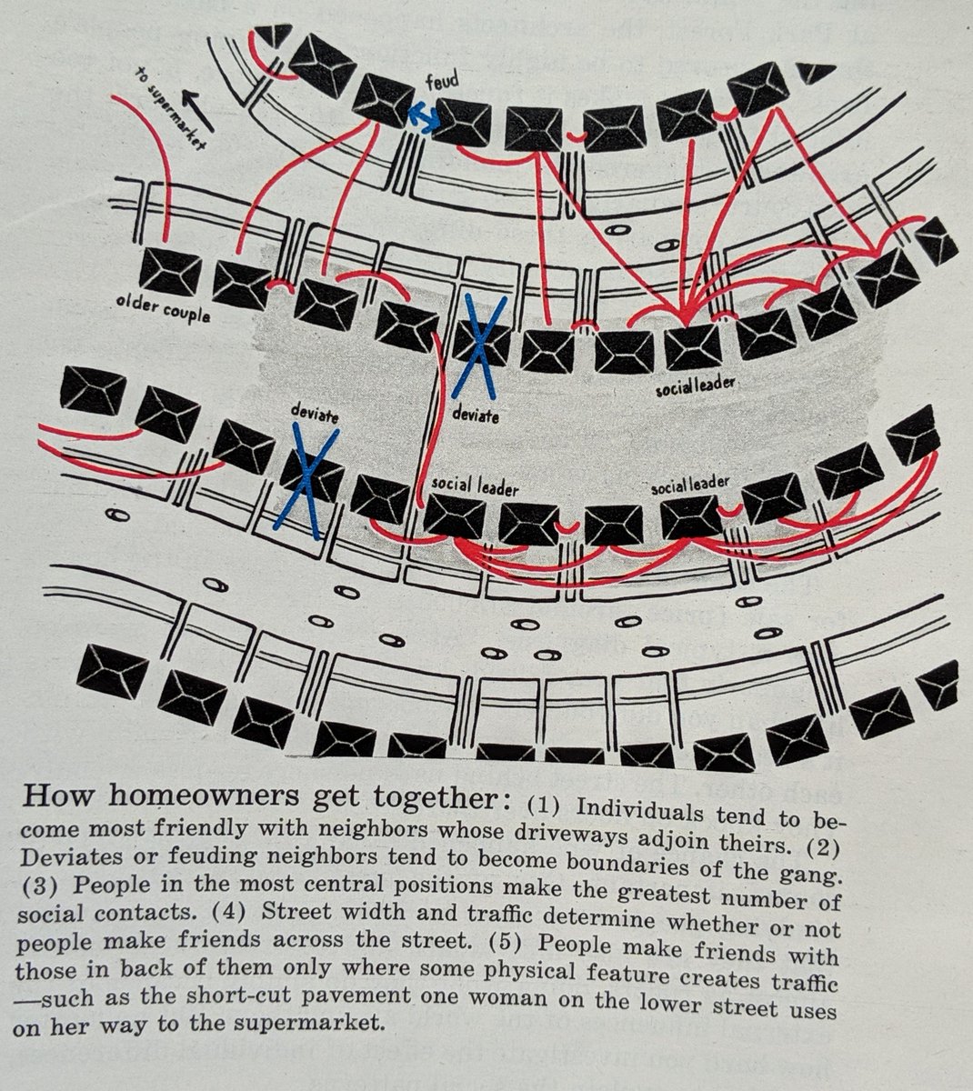
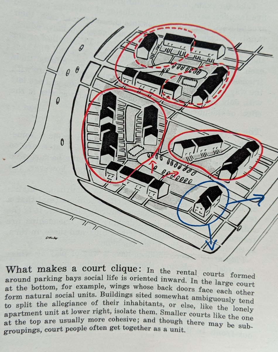
This 1953 Fortune two pager on How the New Suburbia Socializes is fascinating.
How homeowners get together. Social leaders, deviates, older couples and feuds all influence flows.
What makes a court clique. Orientation of homes informing who becomes buds.
Read 5 tweets
Jan 31, 2019
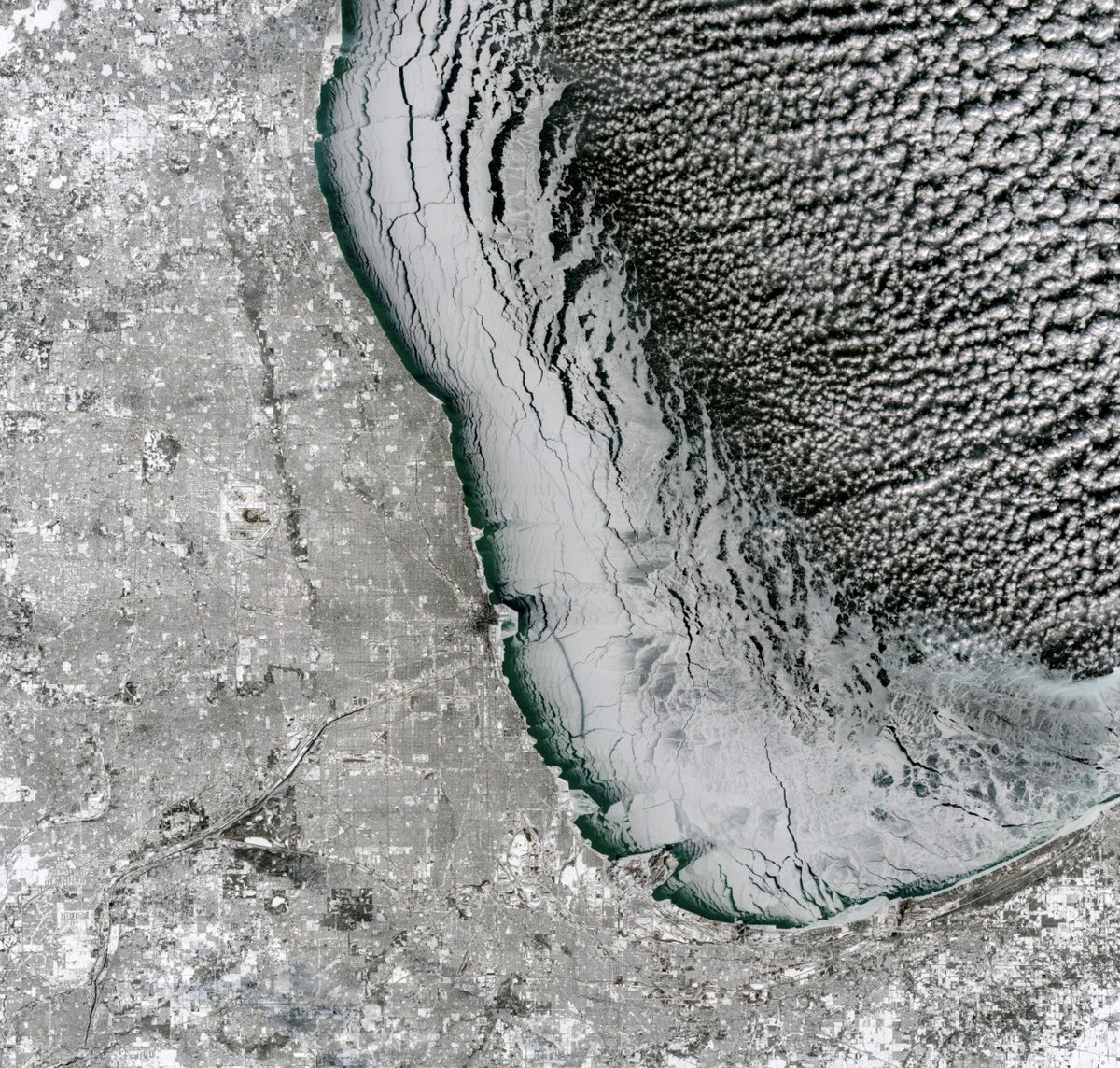
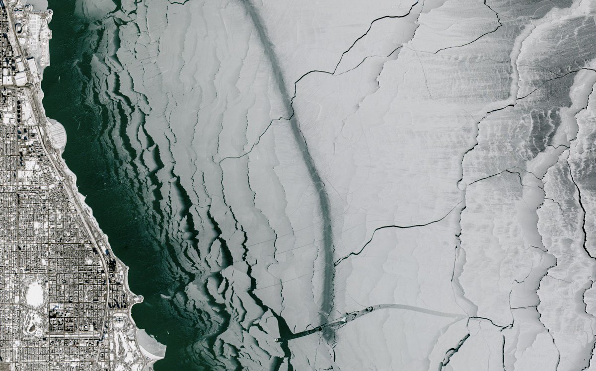
This image from today shows that the polar vortex dropped some legit sea ice off in Chicago before heading east.

👀
The full scene is just bonkers.
Soldier Field in top left for scale.
Read 5 tweets
Jul 28, 2018
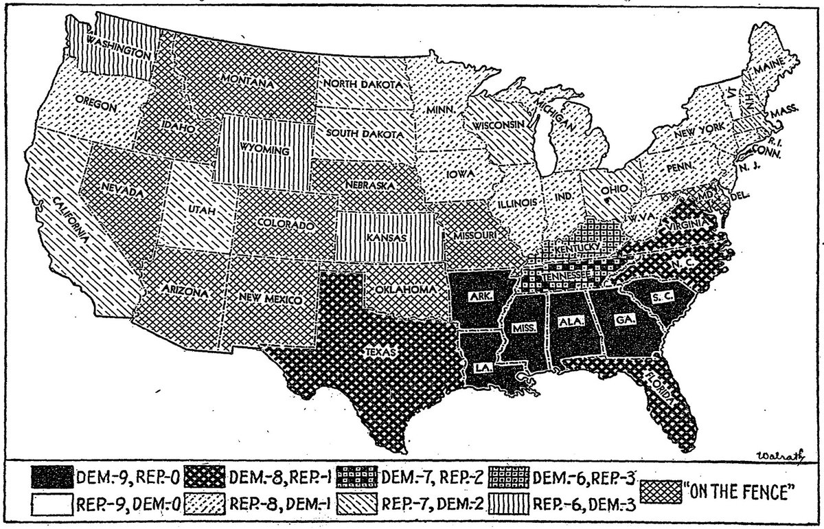
This 1932 accounting of the previous nine elections is by far the wildest pattern-filled @nytgraphics election map I've seen.
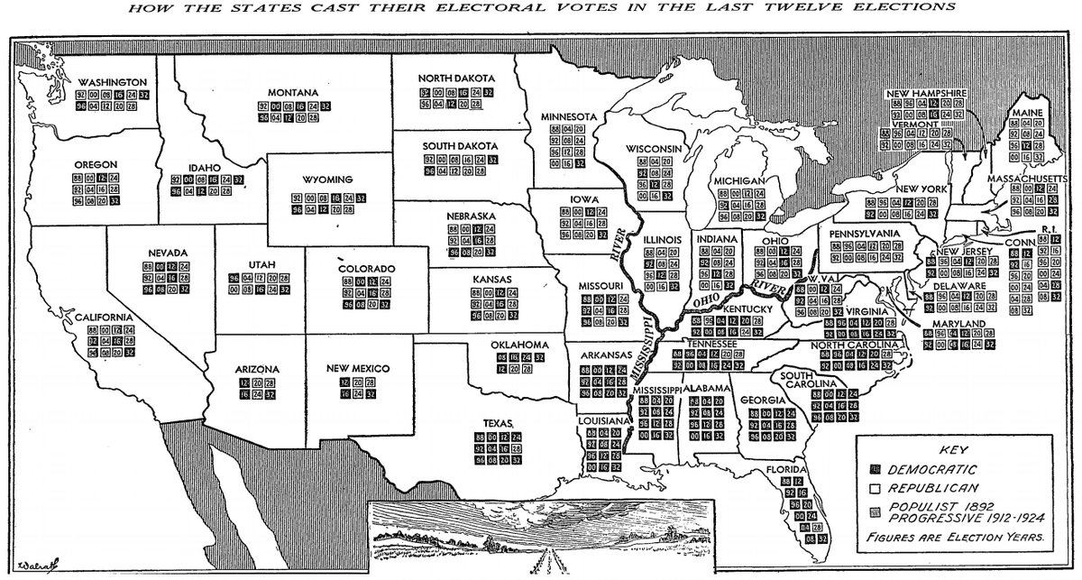
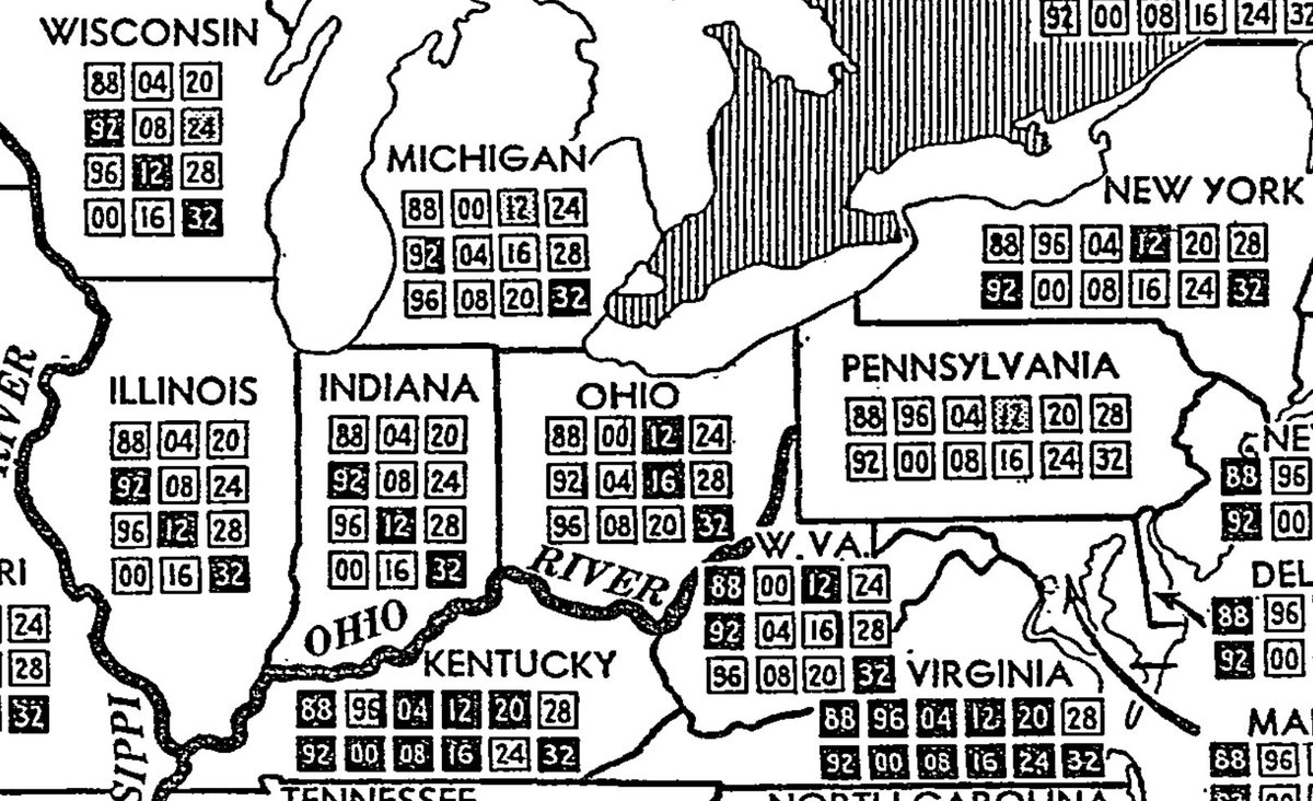
Four years later they decided they'd break it down by electoral votes with lil boxes AND go TWELVE elections back!
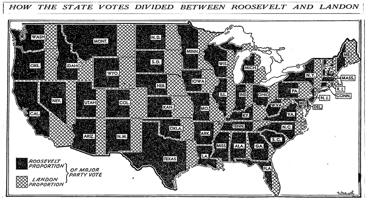
But don't be silly. It's not like they TOTALLY abandoned patterns in 1936!
Read 19 tweets

Did Thread Reader help you today?

Support us! We are indie developers!


This site is made by just two indie developers on a laptop doing marketing, support and development! Read more about the story.

Become a Premium Member ($3/month or $30/year) and get exclusive features!

Become Premium

Don't want to be a Premium member but still want to support us?

Make a small donation by buying us coffee ($5) or help with server cost ($10)

Donate via Paypal

Or Donate anonymously using crypto!

Ethereum

0xfe58350B80634f60Fa6Dc149a72b4DFbc17D341E copy

Bitcoin

3ATGMxNzCUFzxpMCHL5sWSt4DVtS8UqXpi copy

Thank you for your support!

Follow Us!

:(