Light coastal rain showers (and mountain snow showers) are still expected to end prolonged dry spell in NorCal this weekend (finally!), although significant precip not expected. Then, early next week... 1/3 #CAwx#CAwater
Early next week, a stronger & dramatically warmer system is expected to affect SoCal. Widespread, locally heavy rainfall is likely from this warm/wet #AtmosphericRiver--but only in far SoCal. Very high snow levels due to subtropical airmass. 2/3 #CAwx#CAwater
Thereafter, there is uncertainty regarding how the pattern evolves. Best chance of additional precip is in SoCal; unfortunately, in parched NorCal, ensembles still suggesting continued below-average precip through mid-March. #CAwx#CAwater#CAfire
• • •
Missing some Tweet in this thread? You can try to
force a refresh
After becoming increasingly enmeshed in the wildfire world, you start to notice things about the way we've systematically altered our relationship with the natural environment in a way that has increased the risk of destructive fires. And then you stop being able to unsee them.
I've always lived in the American West, in different parts of California and on the Colorado Front Range. I've traveled throughout the West extensively; even as a child, fire was always there in the distance--a companion on family roadtrips, a backdrop to summer afternoons.
One of my earliest memories (fuzzy though it is; I was very young) was ash falling from the sky while out at a San Francisco park. The date? October 20, 1991--the day the devastating Oakland Hills fire tore through around 3,000 structures and killed 25 in the Berkeley Hills.
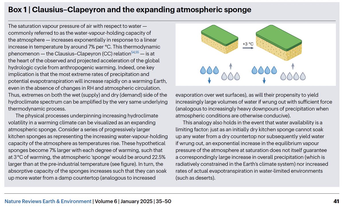
Our paper on "Hydroclimate volatility on a Warming Earth" is out in Nature Reviews Earth & Environment. We assess existing scientific literature & conduct new analysis--concluding that "#HydroclimateWhiplash" is increasing due to #ClimateChange. [Thread] nature.com/articles/s4301…
"Hydroclimate volatility" refers to rapid transitions between unusually wet & dry conditions relative to local baseline. For quantitative analysis, we define a new "hydroclimate whiplash" metric using Standardized Precipitation & Evaporation Index (SPEI). nature.com/articles/s4301…
One key aspect of the framework for understanding such volatility is that it encompasses both "supply" & "demand" side of water balance--that is, not only precipitation (or lack thereof), but also evaporation (or evaporative demand). Precipitation doesn't tell the whole story!
Is there a link between #ClimateChange & increasing risk/severity of #wildfire in California--including the still-unfolding disaster? Yes. Is climate change the only factor at play? No, of course not. So what's really going on? [Thread] #CAfire #CAwx #LAfires iopscience.iop.org/article/10.108…
There is rarely, if ever, a singular cause of complex disasters--so don't be fooled by disingenuous "straw man" binaries! For wildfire, encroachment into high risk areas, historical land management, & climate all matter (to contextually varying degrees). theguardian.com/environment/20…
What is the primary link between #ClimateChange and wildfire, both in CA specifically and more broadly globally? Vegetation moisture, and therefore its flammability (which includes propensity to ignition, combustion intensity, rates of spread, and etc.). nature.com/articles/s4155…
Apropos of recent, ah, speculation...a few thoughts about #fog.
Fog is, simply, a shallow cloud that extends all the way to the ground. It's usually composed of condensed water droplets--though "ice fog," composed of ice crystals, can occur if it's cold enough. [Thread: 1/10]
#Fog usually forms when air cools to its dew point (i.e., when temperature decreases & relative humidity reaches 100%, causing air to become saturated,) and the air can no longer "hold" additional water vapor, which condenses out as (visible!) liquid droplets. [Thread: 2/10]
There are several processes that can cool air to its dew point & create #fog, including warm, moist air moving over a cool surface ("advection fog"), cold air moving over warm water ("steam fog"), and rapid cooling of the Earth's surface at night ("radiation fog"). [Thread: 3/10]
A few notes on this morning's #Tornado Warning for San Francisco from @NWSBayArea (I am still traveling, so my live interactions are still somewhat limited):
1) Yes, a formal warning was issued by NWS for San Francisco this AM based on a suggestive radar signature. #CAwx [1/7]
@NWSBayArea 2) So far as I know, this was indeed first such warning ever issued for SF proper (but not first tornado in SF!). Other similar warnings have been issued elsewhere in Bay Area under similar conditions (i.e., offshore waterspout potentially moving ashore as tornado). #CAwx [2/7]
@NWSBayArea In 2005, for example, an EF1 tornado occurred in South Francisco, causing some notable damage. Other more significant tornado events have occurred elsewhere in the Bay Area and NorCal; although rare, they are not unprecedented. #CAwx [3/7]sfgate.com/bayarea/articl…
A strong, prolonged, very moist, and relatively warm #AtmosphericRiver event, in conjunction with rapidly-strengthening #BombCyclone (yes, that's the term!), will bring major rain (and, locally, wind) impacts to OR/NorCal this week. Flooding is likely. #CAwx #ORwx #CAwater [1/6]
First, a low pressure system west of OR and WA will undergo explosive deepening (rapid strengthening, known as "bombogenesis") over the next 2 days. It may become one of the strongest low pressure systems on record in this region. (~940mb) #CAwx #ORwx #CAwater [2/6]
This very strong low will generate hurricane-force sustained winds well offshore (& 50-60ft+ waves!). The strongest winds will remain well offshore, but damaging 70-90 mph gusts will still be possible in coastal OR & perhaps along far North Coast of CA. #CAwx #ORwx #CAwater [3/6]