
OK, so the first #cartobooks I am reviewing is "Österreich – Raum und Gesellschaft" (2019) by M. Seger and Thomas Hafner (cartographer, not credited as author). The book's claim is to give a comprehensive overview of Austria from a geographic perspective on 648 pages. #mapsathome 


The book has potential to show a new way in digitally produced cartography: it doesn't even try to replicate the bespoke details and composition of analogue cartography, but leverages the advantages of digital production and GIS: sheer volume and density of (curated) information.

The maps in the book are uniformly rendered as bitmaps at a resolution of ≈380 DPI, and printed with crisp square "pixel" boundaries. This gives the maps a distinctly "digital" look, letting the characteristics of the production process shine through to the surface.


This, for me, is a key factor in appealing maps: they are not agnostic towards their medium, but reveal the characteristics of the medium and production process through their aesthetics.
Back to the book: The included maps mostly use simple cartographic techniques available in any current GIS. But this toolkit of techniques is appropriately applied on a wide variety of themes and data.

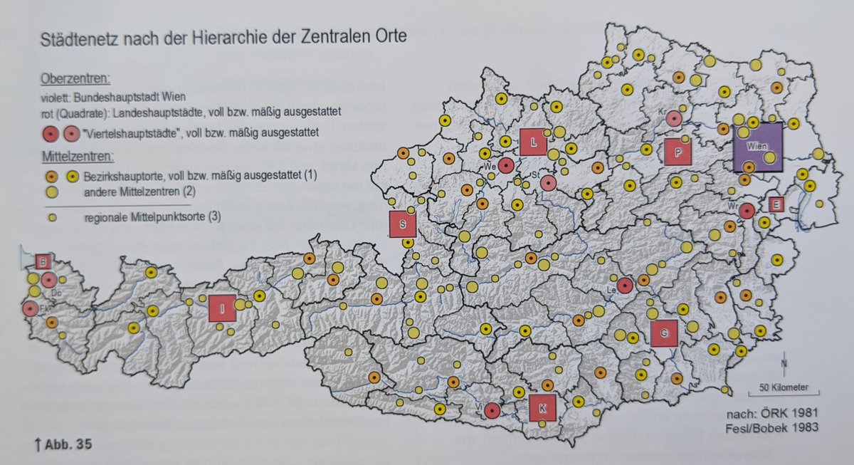

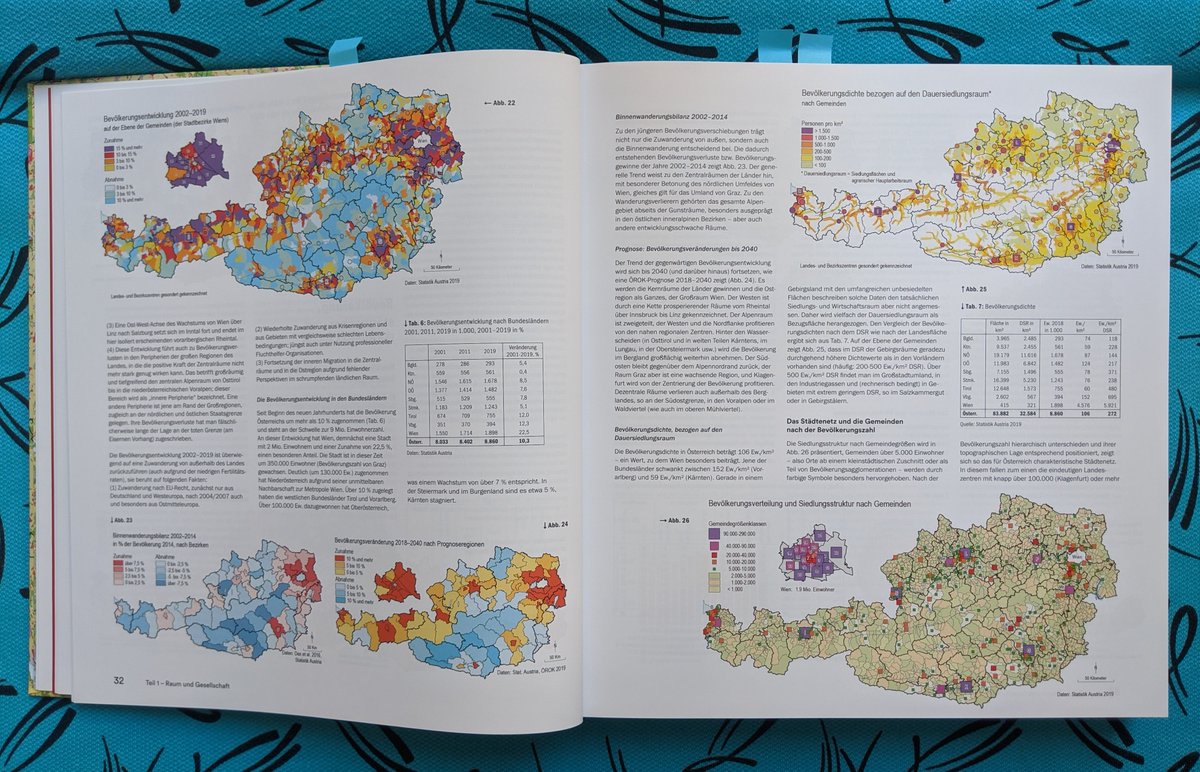
The book has a *lot* of maps in it. On the first 100 pages alone, I counted 121 maps and 43 diagrams (plus photos and tables). Many of those maps have a choropleth or dasymetric map as their basis, but use additional symbology layers as appropriate.


The first part of the book covers various aspects of the country: physical geography, population, urban/rural areas, social and economic processes etc. on 105 pages. This part alone constitutes a comprehensive thematic atlas of Austria.
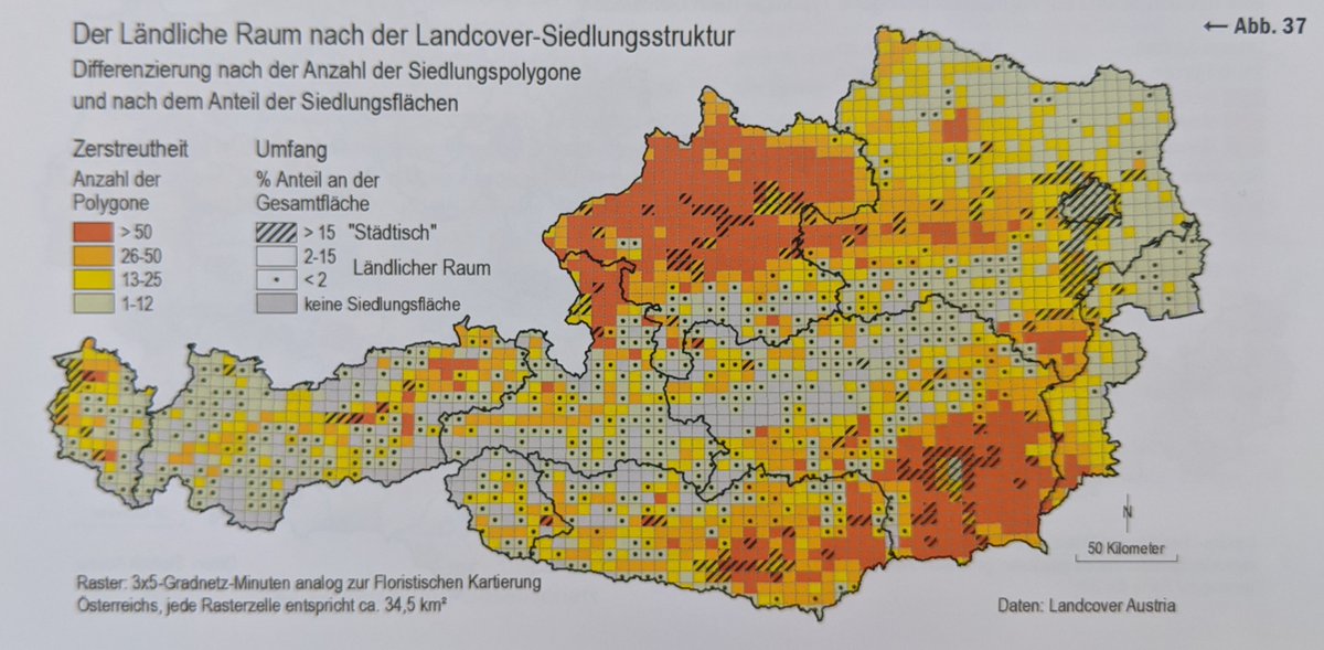
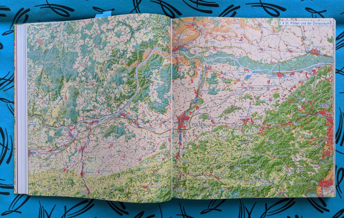
The second part forms what I believe the authors consider their main contribution: a medium-scale, highly detailed landcover map of Austria, split into 30 double pages.

Again, I appreciate the authentic, simple yet novel style the authors found for the task. The cartographic techniques used are, again, rather simple and straightforward. But the density and detail of the various landcover layers comes through really nicely.


My main critique of the maps in this part would be that the built-up areas are colored in a rather dull and monotonous red. Adding some more detail and texture to urban areas would have made the landcover map even more exciting to explore.


Part 3 contains extensive material on the geographical characteristics of each of the 9 counties of Austria (including Vienna) on nearly 400 pages. This part uses photographs and descriptive text extensively, and is basically a geographical encyclopedia of Austria.
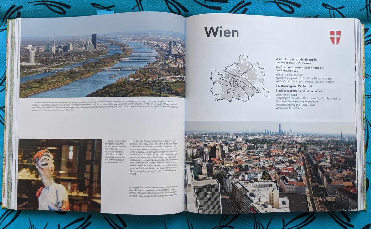
Maps play a smaller role in part 3 of the book, but there are still many interesting examples for various specific topics. The maps in this parts are also more diverse, including schematic maps and maps created by others.


Certainly one can find this attempt to characterize a country using selected photographs of "highlights" problematic. Although the amount of images allows for some variety, the selected images are mostly blue skies, cultural cliches and success stories.


Crime, pollution or poverty don't seem to play a role in this book's version of Austria. So, instead of providing overview, it constructs an image of the country as it would like to see itself. (Historically, #cartography has of course played an important role in such endeavors.)
Besides its limitations, this book takes an interesting approach in digitally produced cartography. Instead of fretting over the lost age of analogue techniques, it embraces the potential of the digital: sensibly applying the available techniques to a TON of data and material.
Also on an aesthetic level, I appreciate how the cartography is authentically digital yet not bland. By using a lower resolution than technically possible, the authors manage to create an aesthetics that looks digital, precise and somewhat "soft" at the same time.
Even if you are not from Austria or particularly interested in the country, you should have a look at this book. I consider it a major milestone in domestic cartographic publishing, and parts 1 and 2 are potential models for digitally produced atlases going forward.


Also, this book is ridiculously affordable right now. You can order it for 39 Euros brand new! freytagberndt.com/produkt/978385… (I understand this first edition has been heavily subsidized, so get it while you still can!) 𐩕
@threadreaderapp unroll
• • •
Missing some Tweet in this thread? You can try to
force a refresh


