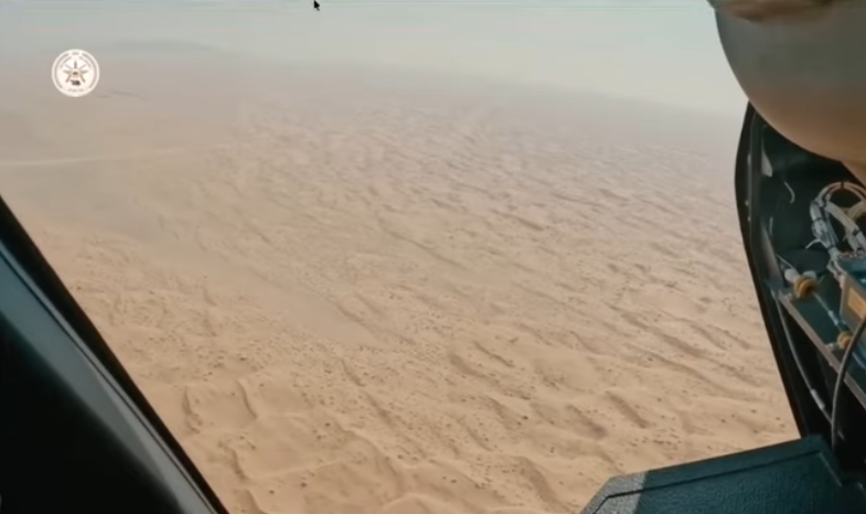
Sudan - you are amazing. June 30: The Millions March. Crowds are chanting "silmiya" (peaceful). From this morning on Al Wadi Street in Omdurman (أم درمان). Filmed from here: goo.gl/maps/zfAgBwrhQ…. H/T to @taha91143 for 📹 #مليونيه30يونيو
This will be big all across #Sudan today.
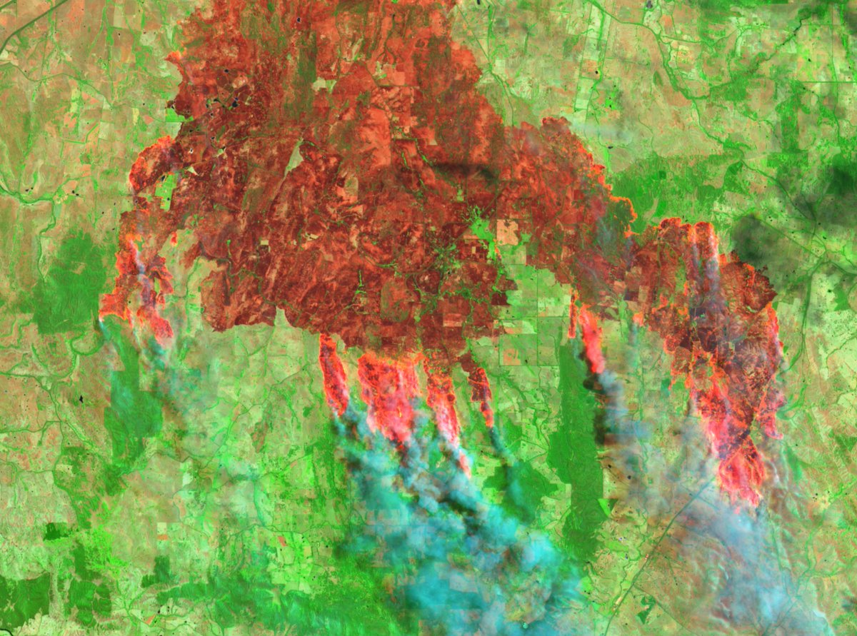
This is what it looked like last year on June 30, in Al-Hasaheisa (الحصاحيصا). Just beautiful.
This is what it looked like last year on June 30, in Al-Hasaheisa (الحصاحيصا). Just beautiful.
https://twitter.com/BenDoBrown/status/1145320528502317056?s=20. Check that thread, those peaceful protestors were met with violence. It's why we need to watch the #SudanUprising 👀
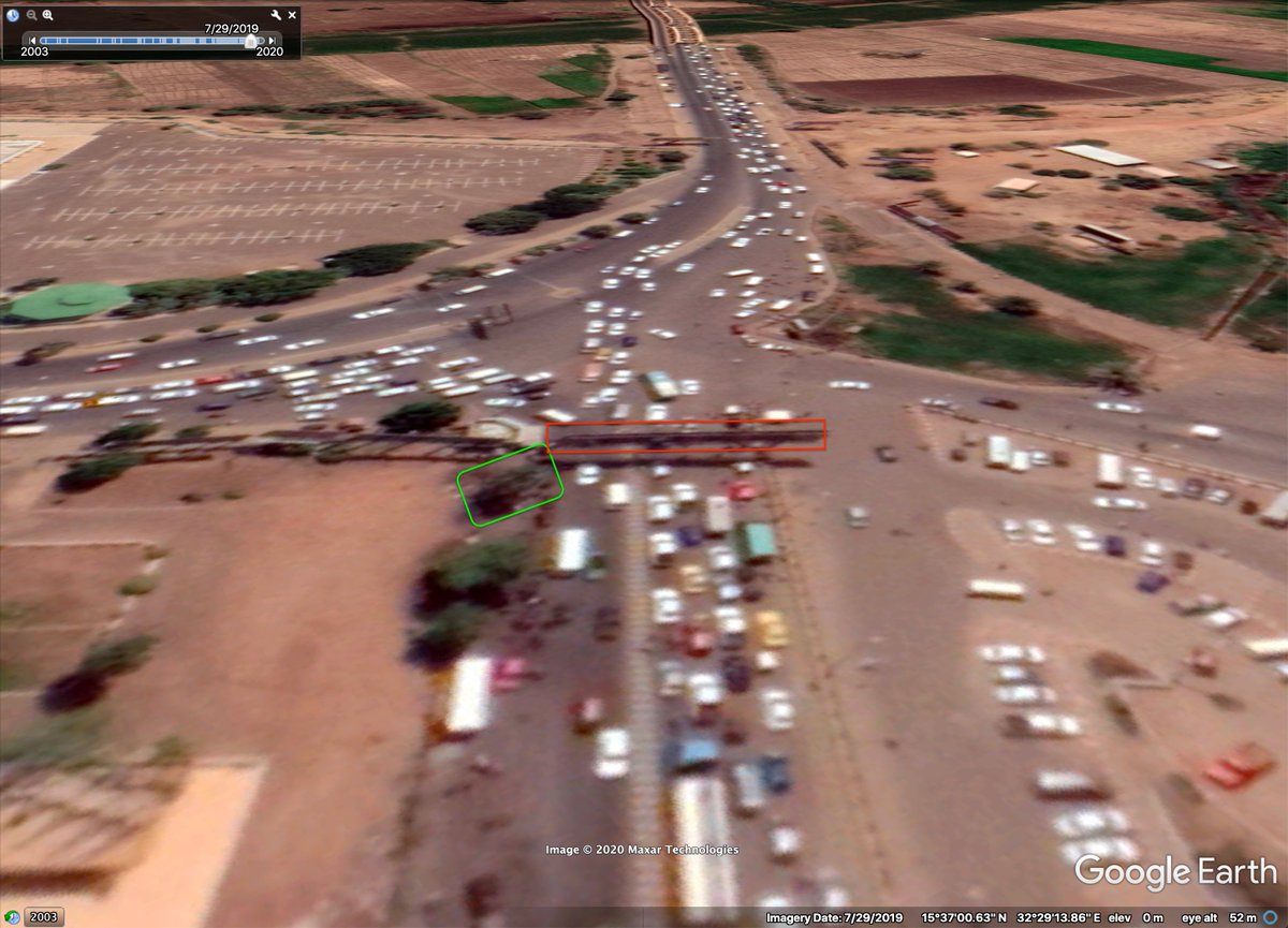
Police were blocking demonstrators on the Airport Street in #Khartoum here: goo.gl/maps/t48gYamSo… H/T @hakuunamtaata for 📹 #مليونيه30يونيو
But it looks like the police have retreated now and are headed north on Airport Road here: goo.gl/maps/t48gYamSo… #مليونيه30يونيو
https://twitter.com/hakuunamtaata/status/1277929918769303552?s=20
They're not only happening in Khartoum - demonstrations are being held all over Sudan. This is one in Umm Ruwaba (أم روابة) here: goo.gl/maps/UqwEhUVyk… in front of local police area. H/T to @IbniSalem for 📸 


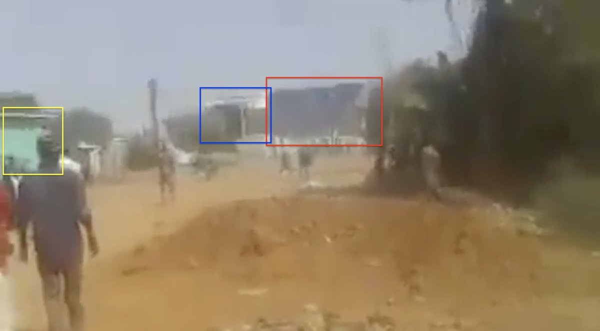
Just before police retreated from Airport Road/Jireif Turn intersection tear gas was used to suppress demonstrators. This was the intersection:goo.gl/maps/hDEHVV8uZ…. H/T @hakuunamtaata for 📹
There are clashes between protestors and security forces near the Omdurman National Council building (المجلس الوطنى). This footage was filmed from here: goo.gl/maps/ZUSyGx93H… #مليونيه30يونيو
Geolocation of above footage of clashes in Omdurman (أم درمان): goo.gl/maps/ZUSyGx93H… across both sides of Al Morada St. #مليونيه30يونيو

Another video from the next street over shows clashing between both sides. Footage was filmed in this laneway: goo.gl/maps/Y79F5CEWy…. H/T @alFayad_lefog for 📹
Geolocation of above footage filmed from here: goo.gl/maps/Y79F5CEWy…. Note: at the end of the footage we see a person being carried away who was allegedly shot. #مليونيه30يونيو #SudanUprising


Amazing video from today. It was filmed here: Filmed from here: goo.gl/maps/hXqTNvWR5…. But also quite sad that a child hit and killed while protesting at this exact spot five days ago:
https://twitter.com/BenDoBrown/status/1276063361193644032?s=20H/T to @HkZuk for 📹 #مليونيه30يونيو
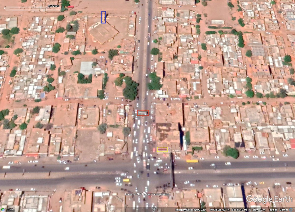
Tear gassed being used against demonstrators as they were running away through Abu Anga Creek in Omdurman. This was filmed from here: goo.gl/maps/quHAv52mT…. H/T to @sudo_sapiens
Filmed from here: goo.gl/maps/jVL8kYrzo…. H/T to @john_marquee for geolocation 🖖
https://twitter.com/alFayad_lefog/status/1277974889886957572?s=20

On Al Morada Street in front of the National Council in Omdurman. Crazy. Filmed around this building: goo.gl/maps/z3hZLJWas…. H/T @alFayad_lefog #مليونيه30يونيو
Clashes between police and protestors have escalated significantly in Khartoum. This footage, filmed here: goo.gl/maps/Grzsr4tGA… on Azhari Rd with more police arriving. #مليونيه30يونيو
https://twitter.com/taha91143/status/1278014309461831681?s=20

"Man filming claims the police set their vehicle on fire to frame the protesters". H./T to @moehash1 for identifying this ✌️ Footage geolocated to here: goo.gl/maps/dxvk3vRZv…. #مليونيه30يونيو
https://twitter.com/brom_12/status/1278018692119437319?s=20


Geolocation of one of a victim of today's demonstrations in Omdurman, Sudan. He was shot on this street corner: goo.gl/maps/WpcFGo6L8… near Al Morada St. I previously referred to him in this thread, but this graphic footage is more clear. #مليونيه30يونيو
https://twitter.com/_saalaah/status/1278019917934211075?s=20


• • •
Missing some Tweet in this thread? You can try to
force a refresh