Iranian VLCC supertanker carrying 2 million barrels of gas condensate suddenly pops up at the José Terminal, Venezuela. Most likely sailed all the way around southern Africa given her transponder was switched off. Name & IMO number has been painted over. Goes by new name: HONEY
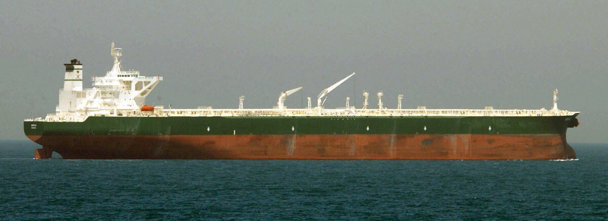
For those of you asking why she looks empty. She isn’t. In this photo you can see how high up above water an empty VLCC supertanker looks like. HONEY isn’t carrying heavy crude oil but a light liquid called gas condensate; a natural gas liquid (NGL). Not to be confused with LNG.
As for gas condensate, it is NOT gasoline. It can be refined into things like high octane gasoline and jet fuel with ease (since it is not crude oil) but it will likely be used as a blending agent to improve flow of Venezuela’s very heavy crude oil in order to boost production.
Iran has already sent three tankers full of gasoline. They are in southern Africa. You have seen them over the past few days in our tweets. They’re carrying approximately 131 million liters in total.
Thanks,
/TT
UPDATE: After careful analysis of the video and still photo we received, we have now been able to identify the vessel and have informed our Premium/Plus subscribers. We're only waiting for a satellite photo as additional confirmation, but have examined the entire NITC fleet.
NEWS: Many thanks to @mariannaparraga of @Reuters for consulting with us regarding the Iranian VLCC that reached the José Terminal.
The interesting details of what this tanker did in Iran prior to departing is up on our website (Premium subscribers).
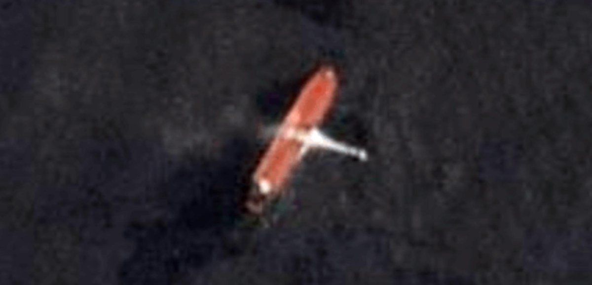
This satellite photo was captured 2 days ago (2020-09-13) by @planetlabs, showing the Iranian VLCC called HORSE just moments after arriving at the berth at José Terminal, Venezuela. Her name & IMO were painted over. Folks now call her HONEY.
• • •
Missing some Tweet in this thread? You can try to
force a refresh
Based on the data we have now reviewed along with an AIS playback, we have good reason to believe that a cargo vessel departing from #LaGuaira, #Venezuela has spilled its fuel oil following a possible failure. Vessel is currently broadcasting "not under command". #OOTT#OilSpill
The video shows free-flowing oil, which is not typical for Venezuela's heavy crude. Satellite imagery shows it spread rather quickly and shimmers in sunlight. This is more typical of a refined product; in this case most likely fuel oil.
The cargo vessel's name is NAUMA (9362827)
What the @MarineTraffic data tells us is that the NAUMA departed La Guaira dock late night of July 29th for Guyana and set an ETA date of August 1st. Two and a half hours later, something happened. Speed dropped from 11 knots/hour to just 0.3; and then she drifted for two days.
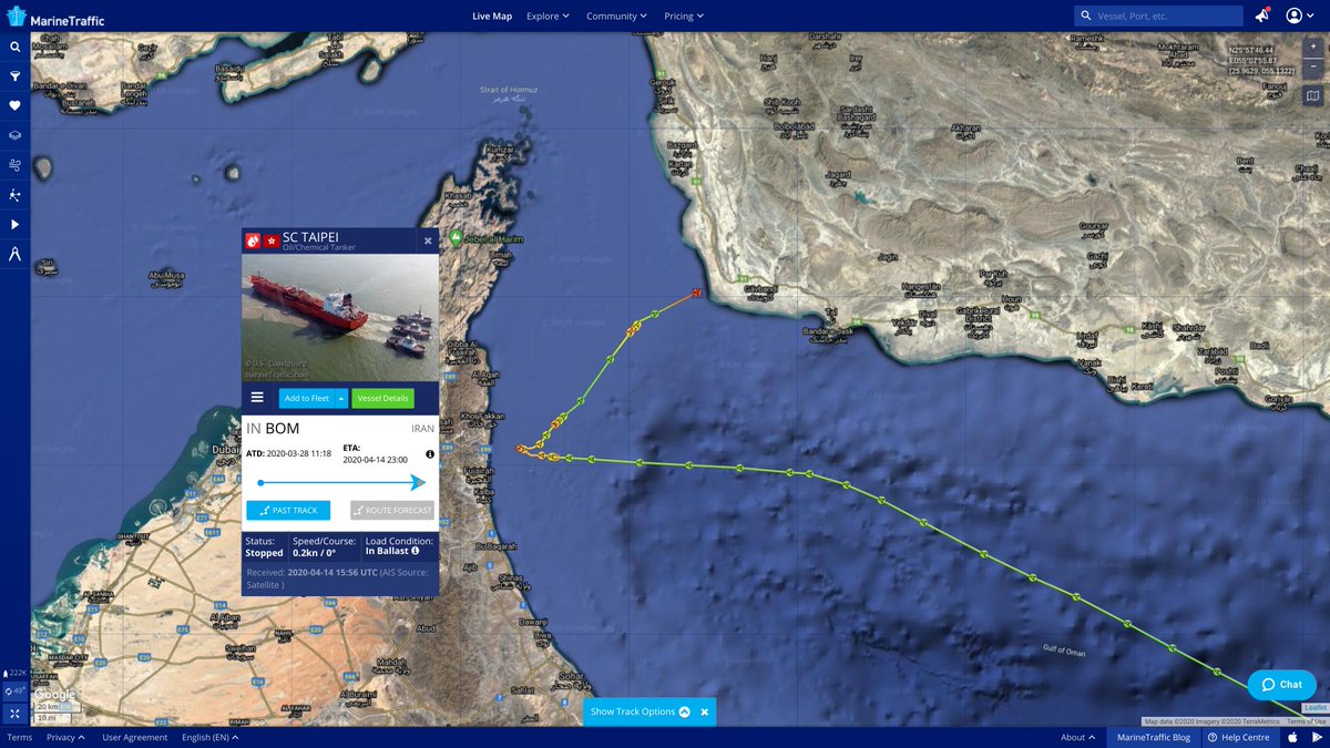
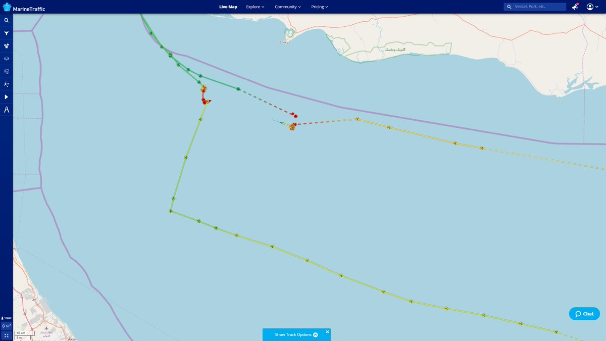
CHINA-FLAGGED TANKER "SC TAIPEI" (IMO 9175535, 22,377 DWT) PURPORTEDLY FELL UNDER ARMED ATTACK IN GULF OF OMAN AT 12:48 UTC BY IRANIAN NAVY / IRGC. VESSEL WAS SAILING TO JUBAIL, SAUDI ARABIA. NOW OFF IRANIAN COAST. VIA @GlobalDryad
UPDATE: CREW IS REPORTED TO BE RELEASED AND SAFE. TANKER APPEARS TO BE UNDERWAY TO ORIGINAL DESTINATION, JUBAIL, SAUDI ARABIA. VIA @GlobalDryad#OOTT@MarineTraffic
Correction: Flag is Hong Kong, vessel owner is based in Shanghai, China. The crew are reported to be Chinese nationals.
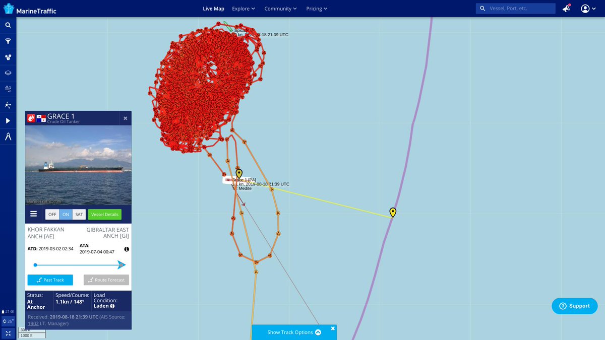
The vessel is now signaling that it is underway. There's less than a nautical mile to go before crossing the EU/Gibraltar maritime border. #GRACE1#AdrianDarya1#OOTT
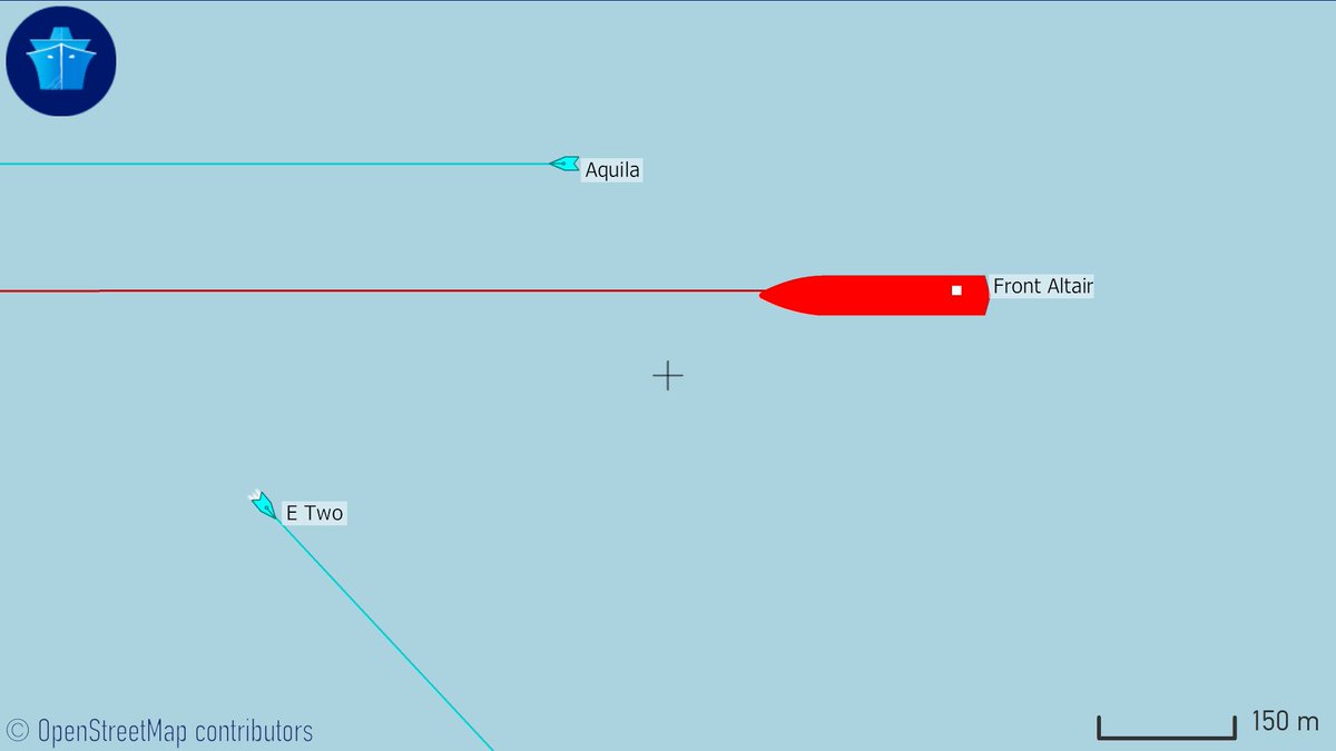
Thanks to @planetlabs satellite imagery capture this morning, we can see that the fire aboard the #FrontAltair has now been extinguished, but we can also see a massive hole. Thankfully, such tankers have dual-layered hulls & multiple storage compartments. #OOTT
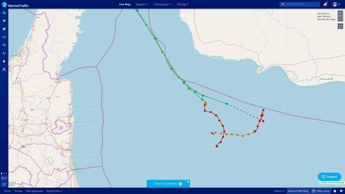
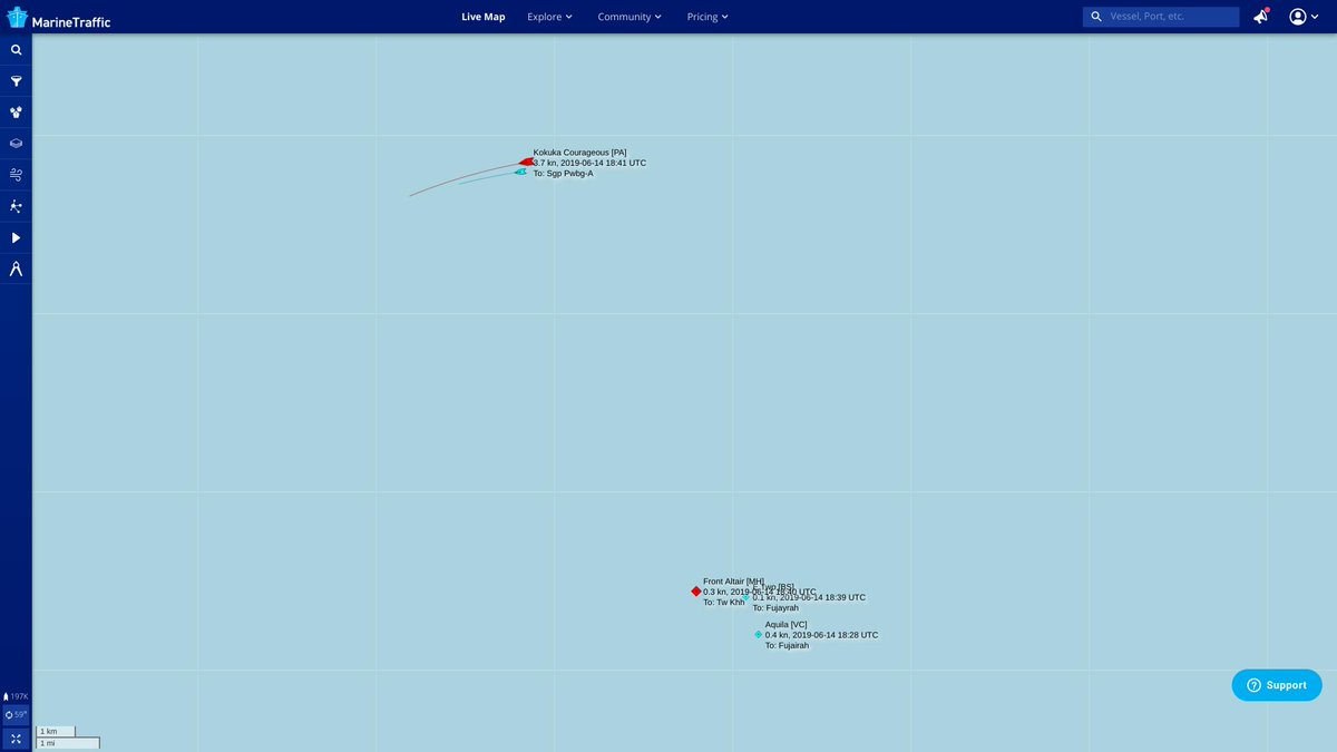
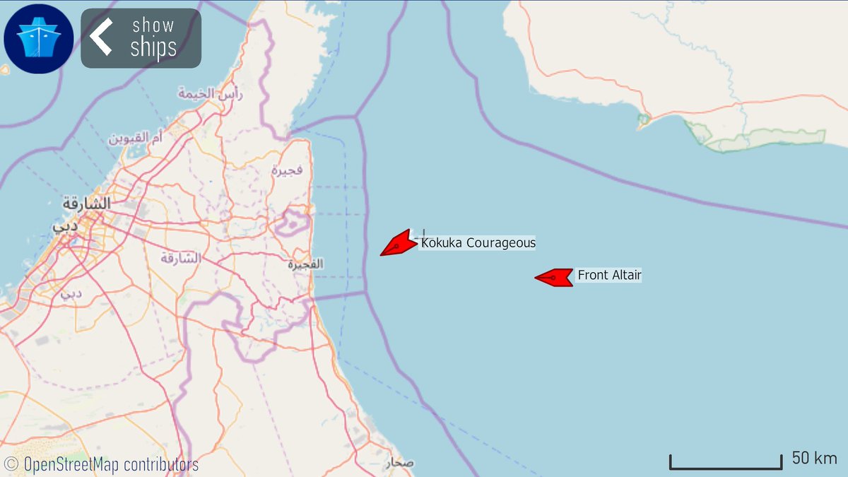
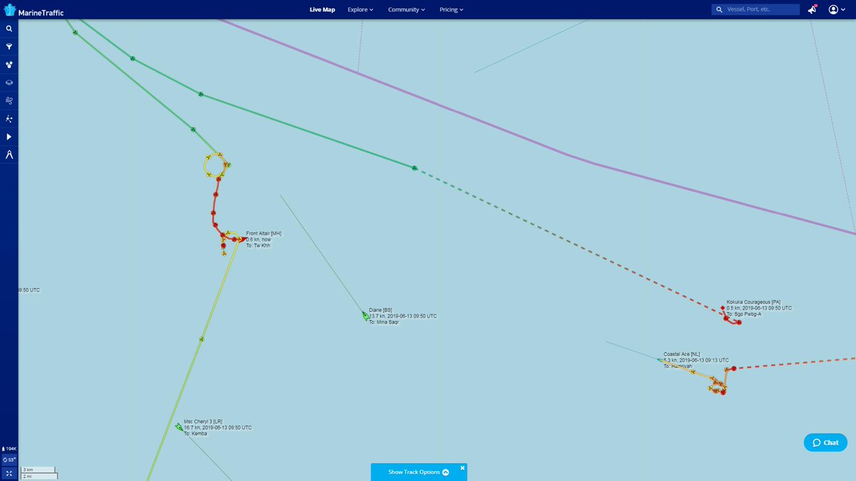
Good morning! We may be away from our desks this AM but the @MarineTraffic app is clearly showing progress as both tankers are being tugged into the anchorages of Fujairah and/or Khor Fakkan.
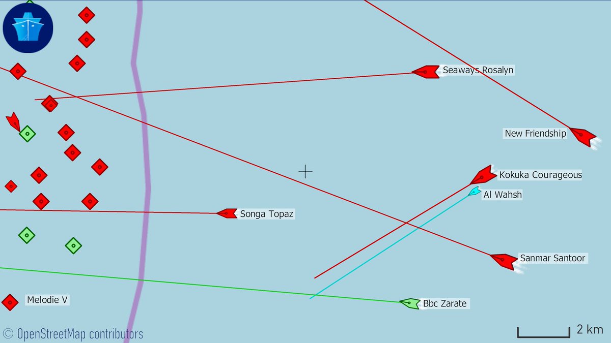
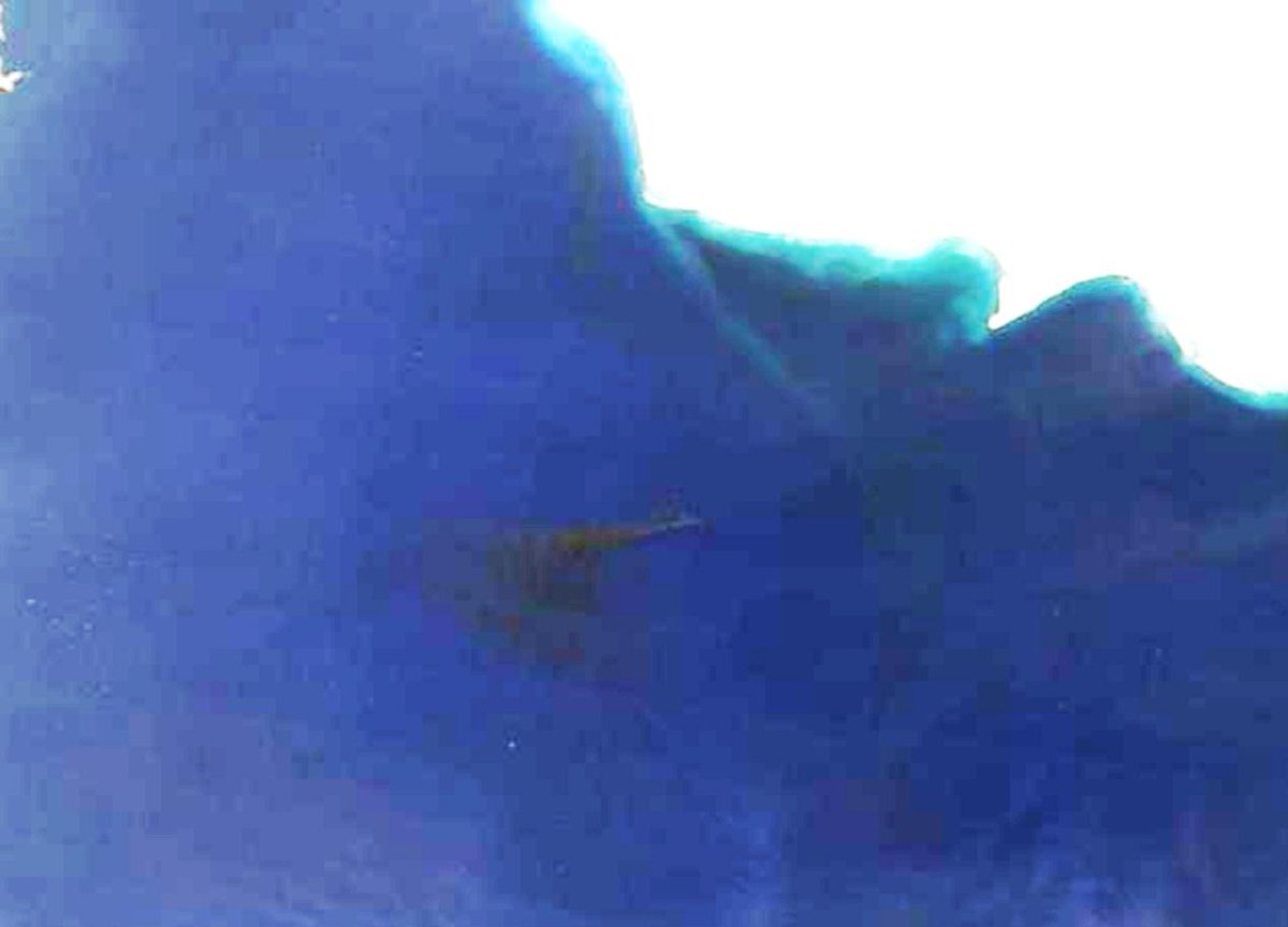
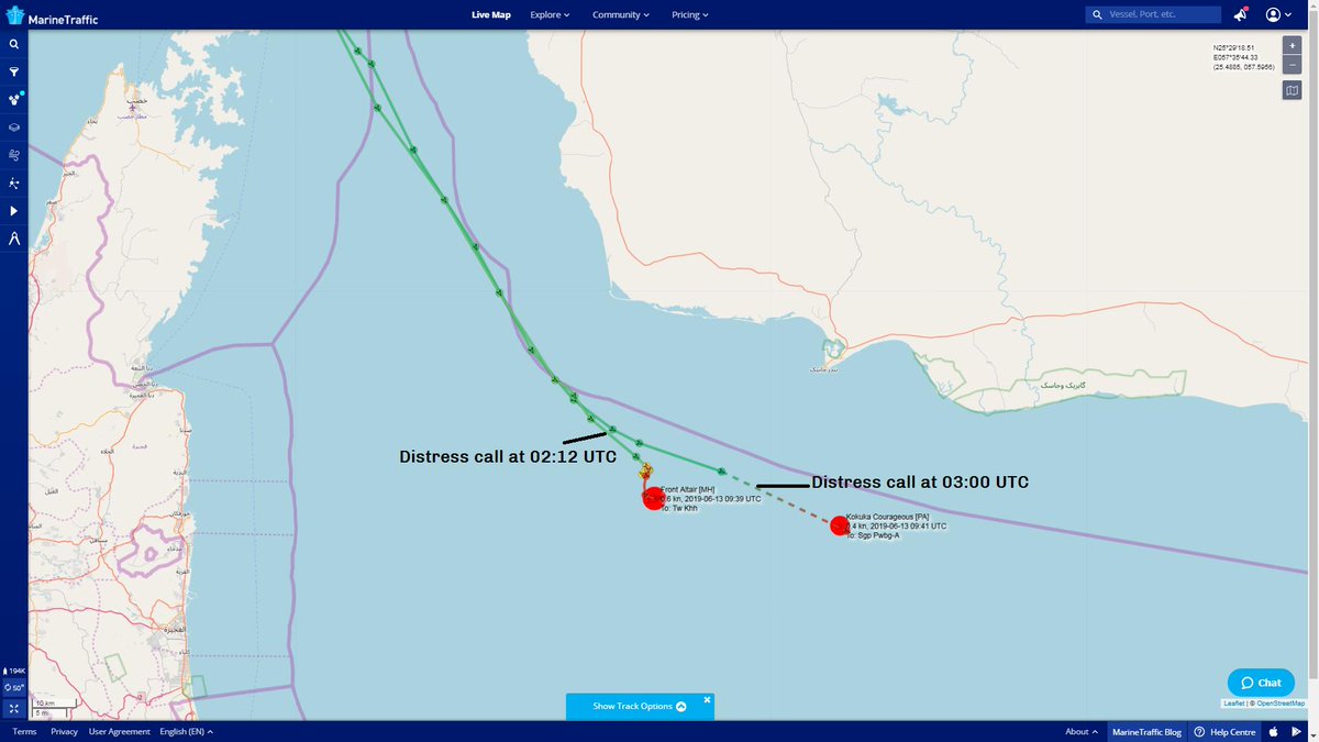
Here is the first @NASA satellite image taken this morning of (what seems to be based on AIS pos) the #FrontAltair tanker. We had to enhance the original. We noted the distress call times as reported by @katiemcque. A couple of tugboats in the area have diverted to assist. #OOTT
This is the original satellite image. We're waiting for additional sources.
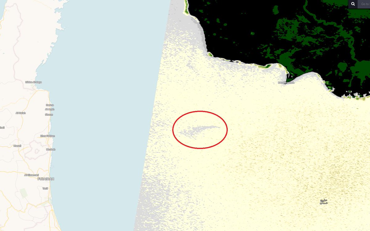
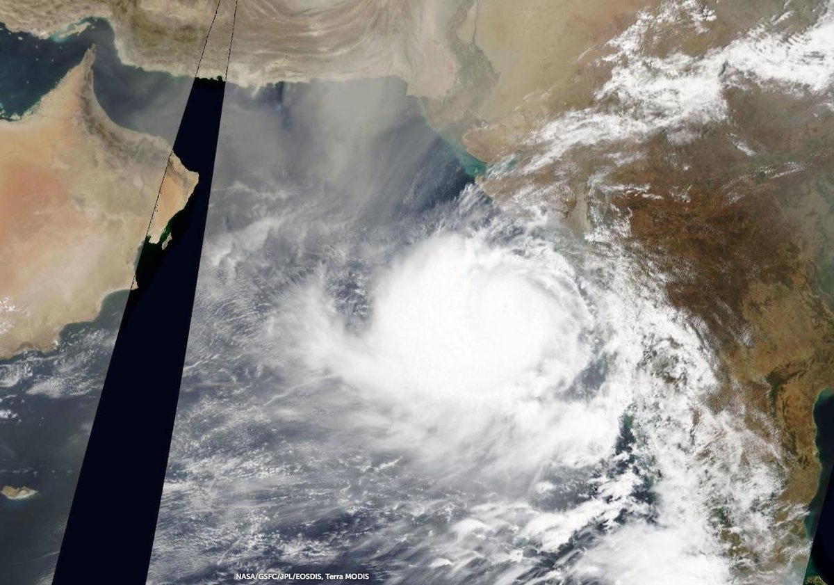
Data captured by @esa (delivered via @sentinel_hub) shows a 25km long smoke plume blowing west at 05:49 UTC (09:49 local time). That's 3.5 hours after initial distress call. Also, in three days time, weather forecast has #CycloneVayu approaching the area at 160km/h.