
Please allow me to get this off my chest: When you look at Google Maps, Kasiglahan Village is located on a flood plain, at the corner of Marikina River and another river in Montalban. 
https://twitter.com/eacayan/status/1327558837461610496

And you wonder why there was so much mud and debris after the housing area was inundated by flood and the answer is because it directly lies below the largest quarrying site in Montalban.

The quarrying site itself has a land area equivalent to the entire low-cost housing projects downstream. Heard that in the last 10 years, the quarrying site expanded.

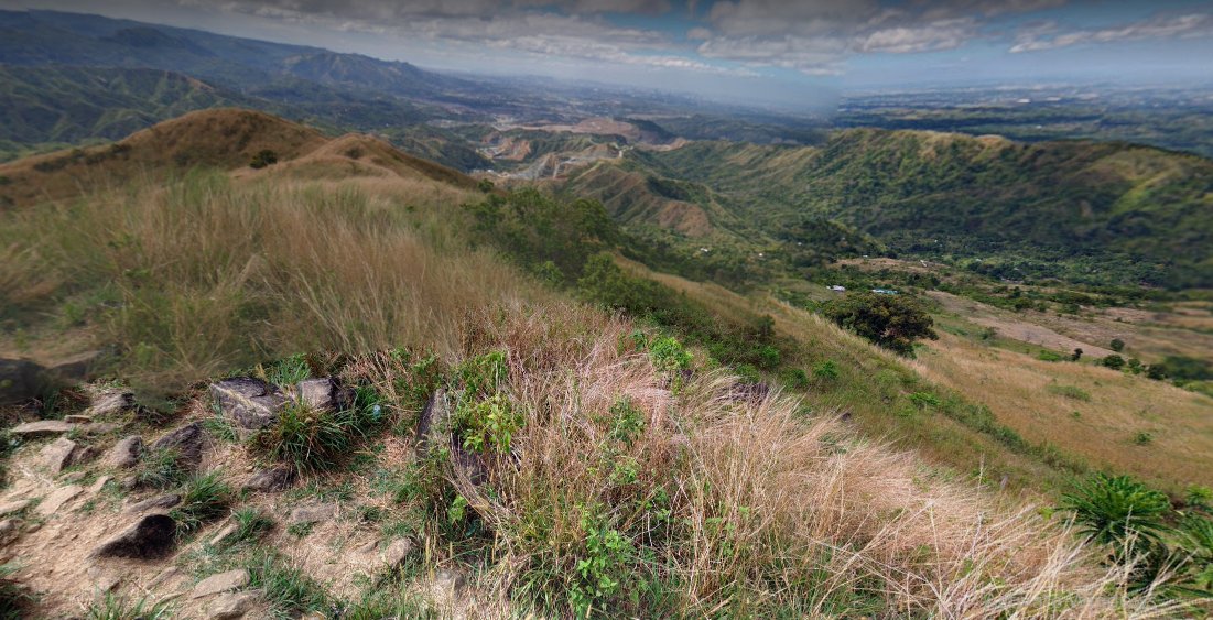
Worst, the mountain just above the quarrying site has been stripped off of trees. Mt. Balagbag looks imposing from a distance but when you check Google Street View, the summit looks like this:

Seeing the bigger picture, the Marikina River flooding will never go away. Instead, it will get worse with climate change. And the people still living in villages like Provident or Kasiglahan will never know peace. What you claimed from nature, nature will take back.
• • •
Missing some Tweet in this thread? You can try to
force a refresh


