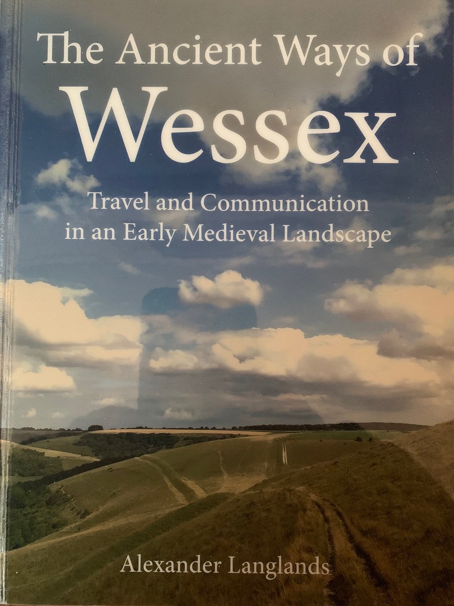
I’ve enjoyed reading @AlexJLanglands The Ancient Ways of Wessex & learned how #chalkstream #winterbournes & #springs have influenced our culture & cultural heritage - #Ridgeway paths that are now #NationalTrails
Perhaps old news to many, but new to me so here’s a short thread…
Perhaps old news to many, but new to me so here’s a short thread…

Our #ridgeway paths are a bundle of numerous routes which I always assumed followed the high ground for strategic purposes & avoiding the muddy clay vales. Timperley & Brill (1965) described our #ridgeways as literally high ways, although they could have called them “dry ways”.
Langlands (2019. p14) explains that #ridgeways or watershed-ways were used out of necessity to avoid #winterbourne streams, springs and wetlands lower down the escarpments & that in summer when the #winterbournes were dry travellers could use routes along the lower slopes....
Quoting Grundy (1918. p70-72; downloadable on Google), Langland calls these lower routes #summerways and suggests there are summerways parallel to nearly all of the great #ridgeways - twin summerways and ridgeways
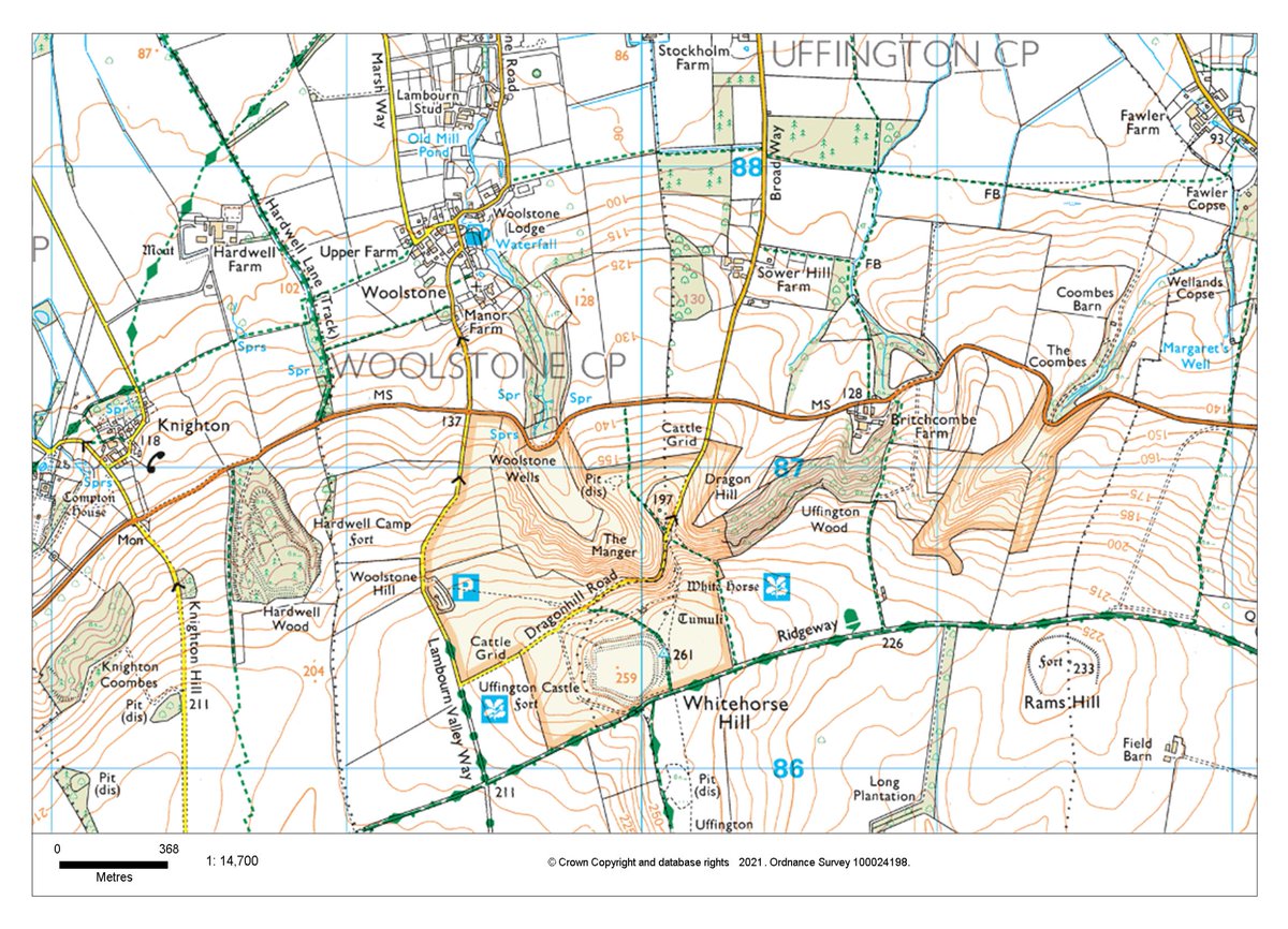
Looking at the Downs near Whitehorse Hill, the B4507 road follows the escarpment at a relatively steady height just above the spring line - almost a dot-to-dot line linking spring heads and their #winterbournes - could that be the old #summerway I wonder? 

Interestingly, there is another albeit minor footpath even lower down the slope, virtually in the Vale, that also parallels the B4507 and #ridgeway. That seems to link villages, despite having to cross numerous streams.
#LandscapeArchaeology
#LandscapeArchaeology
#summerways maybe a good example of how chalk #winterbournes & springs influenced contemporary culture - transport routes, landuse etc- our cultural heritage & modern recreational pursuits, albeit one that is not widely broadcast
#culturalecosystemservices #landscapearchaeology
#culturalecosystemservices #landscapearchaeology
Grundy (1918. p70) says that the ridgeway (watershed-way) owes its genesis to the necessity of avoiding streams. Have we mapped our #summerways across the Chalk & do our #ridgeway #NationalTrails & AONBs celebrate them? Could we do so & show people our amazing #winterbournes?
More about the #summerways of Hampshire on-line:
Hawkes, 1925. ‘Old Roads in Central Hants’, Proceedings of the Hampshire Field Club and Arch Soc, 9, 324–33 ;
Grundy, 1918. ‘The Ancient Highways and Tracks of Wiltshire, Berkshire and Hampshire...’, Arch Jn, 75, 69–194
Hawkes, 1925. ‘Old Roads in Central Hants’, Proceedings of the Hampshire Field Club and Arch Soc, 9, 324–33 ;
Grundy, 1918. ‘The Ancient Highways and Tracks of Wiltshire, Berkshire and Hampshire...’, Arch Jn, 75, 69–194
.@NationalTrails @sdnpa @ChilternsAONB @NorthWessexAONB @CranborneChase @AONBFamily
#NationalTrails #Ridgeway #summerways #LandscapeArchaeology #chalkstreams #springs
#winterbournes
#NationalTrails #Ridgeway #summerways #LandscapeArchaeology #chalkstreams #springs
#winterbournes
• • •
Missing some Tweet in this thread? You can try to
force a refresh


