
Feeling nostalgic for long pointless road trips, I decided the next best option was to use Google Street View to visit the center point of all the nation's congressional districts. 

Weighted centroids come from the Missouri Census Data Center Geocorr site, which is free to use!
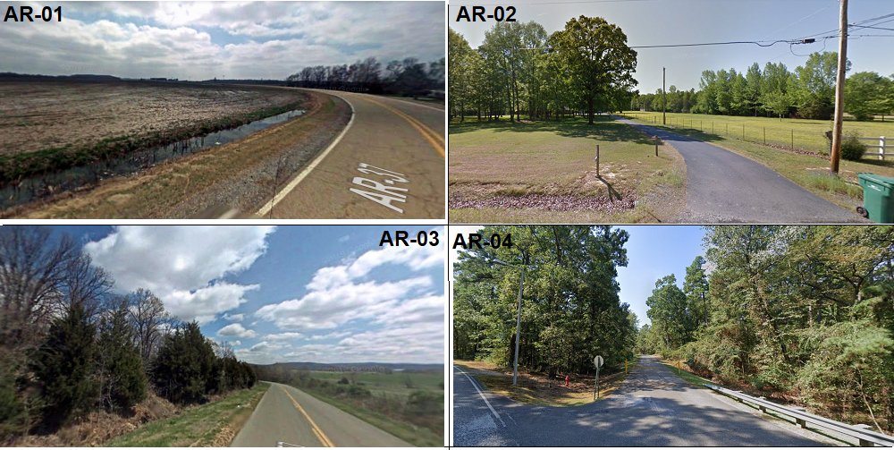
Many centroids, as you might guess, aren't near roads (AZ-03 for example is 6 miles away from a road) so I tried to use the nearest spot accessible on Street View.
Many centroids, as you might guess, aren't near roads (AZ-03 for example is 6 miles away from a road) so I tried to use the nearest spot accessible on Street View.

Another thing you'll notice: even in CDs that are mostly urban or suburban, you'll see few people, or even houses. Most of our daily lives are confined to narrowly drawn areas that have nothing to do with most of our land mass.
Another takeaway: a lot of our built environment, more than you'd think, is taken up by parking lots (and as you'll see in a few places, airports).

(As a case in point, CA-14's centroid is at SFO.)

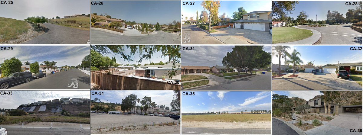
CA-33's centroid actually has multi-million dollar cliffside homes. But most of the LA area is endless stretches of 60s-era ranch homes!
One other land use aspect in metro areas that you don't think about much is how much land is taken up by warehouses (which may be especially true in southern California).

Often the centroid isn't what you'd expect: CA-51, for example, you might think of San Diego, or you might think of agriculture in Imperial County, but the center point is in the mountains in between them.

Despite how much of FL-09's land mass is taken up by Disney World, the centroid is a subdivision that looks like it's a little less fun than that.

FL-16's centroid is literally the parking lot of the Bradenton Cracker Barrel. (Of potential interest to @Redistrict, my virtual journey did not take me to any Whole Foods parking lots.)

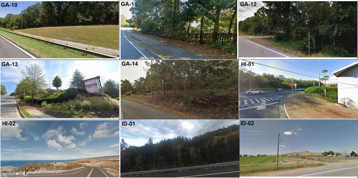
The GA-07 centroid is a good illustration of the kind of generic upper middle class suburbia that's swung considerably in the Democratic direction in recent years.

The HI-02 centroid, unsurprisingly, was out in the ocean. The closest I could come to it was where the road ends on the western shore of Lanai.
IL-04 (this is the notorious 'earmuffs' district) is one of a few cases where I found the centroid was in a totally different district. It's less than a mile away from the purveyor of 'cut rate liquors' that's at the center of IL-07.

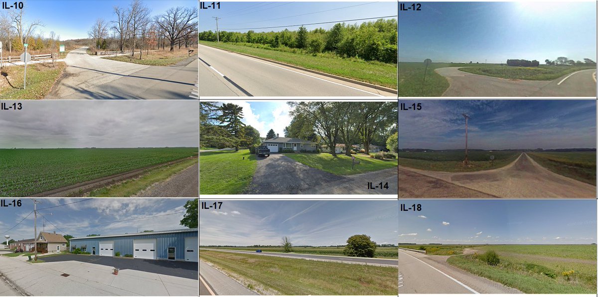

It's convenient that Illinois, Indiana, Iowa, and Kansas are all next to each other alphabetically, because that gives you a good sense of the flat endlessness of driving across the Midwest.

Not coincidentally, according to Census data, KY-05 has the highest percentage of any CD of people living in mobile homes.

In case it's not clear what you're looking at in LA-01, that's the middle of Lake Pontchartrain.

The centroid of MD-04 is a few feet away from being inside a Panera.

You can't really tell from the photo, but MA-01's centroid is a shooting range (it's the "Holyoke Revolver Club"), which I suppose isn't what you'd expect to see in Massachusetts.


One way that these photos may defy expectations is that there aren't always a lot of visual indicators of poverty (case in point, the Ferndale census tract in MI-14 has 3x the MHI of the Detroit tract where the MI-13 centroid is, but I'd be hard pressed to guess which is which).

(Please excuse Minnesota and Mississippi being out of alphabetical order here; it was easier to package MS with Michigan.)

The MO-01 photo, surprisingly, isn't in the city of St. Louis but is in the nearby suburb of Hillsdale. (There's a swath of poverty that extends into northern St. Louis County, with Ferguson being a better-known example.)

NV-04's population is mostly concentrated into the suburbs of Las Vegas, but it covers a large part of the state and the vast majority of the CD's land mass looks just like its photo.

The New Jersey page is one of my favorites from the whole batch, because it looks like the Sopranos credits running in reverse order (right down to the Pulaski Skyway looming in the background in NJ-08).

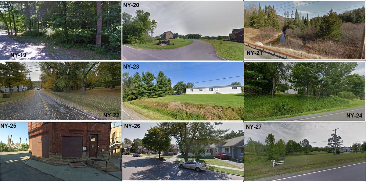
The NY-06 centroid is smack in the middle of Cedar Grove Cemetery, so unfortunately the closest I could get to that on Google Street View is the middle of the Van Wyck Expressway.
Similarly, the centroid of NY-12 is in the East River, so please enjoy your close up of FDR Drive.
NY-14's centroid is on the runway at La Guardia Airport. (Rikers Island is closer than Terminal B Daily Parking, where the photo is, but you can't take Street View there either!)
NY-14's centroid is on the runway at La Guardia Airport. (Rikers Island is closer than Terminal B Daily Parking, where the photo is, but you can't take Street View there either!)

Fans of Genesee Cream Ale may be pleased to see that the brewery in Rochester is the centroid of NY-25.
Unfortunately, Geocorr doesn't have weighted centroids for the newest iteration of North Carolina CDs, so these are the 2016-2020 ones.

I try not to emphasize the road itself in these photos, but in the case of ND-AL I kind of had to in order to capture its very North Dakotaness.

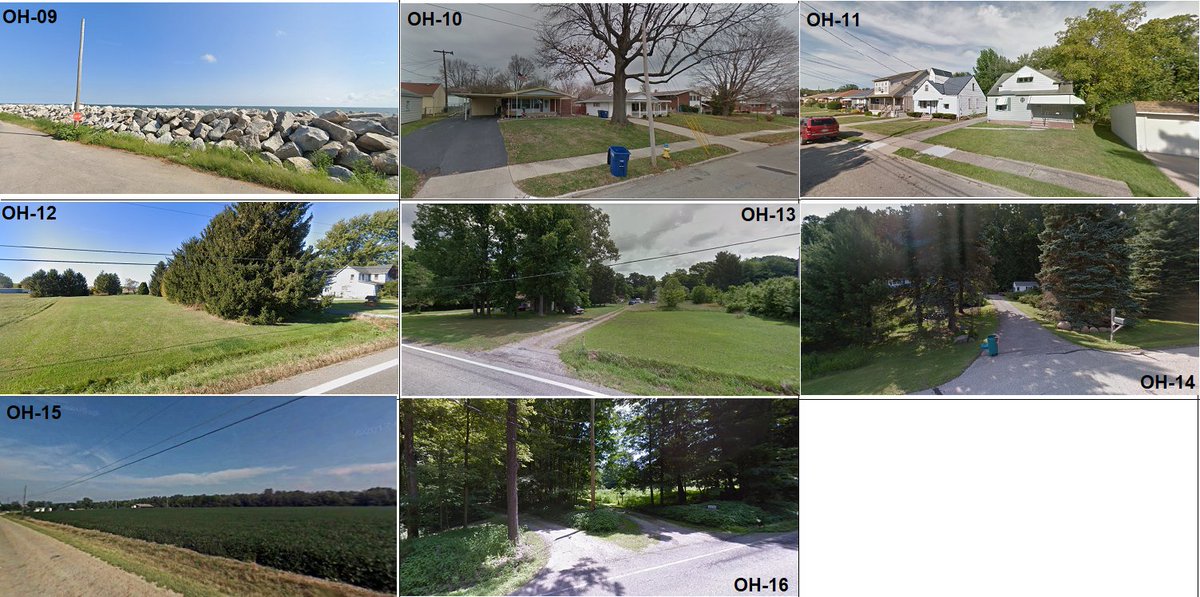
OH-06 is considered to be the Appalachian part of Ohio, and, as you may have noticed, it's the only one that has even a hint of a hill in it.

OH-09 is the gerrymandered district that connects Toledo with west Cleveland by following the lakeshore, so that means the centroid ends up in Lake Erie, a few miles outside of Sandusky.
One of the most on-the-nose photos that I took is of the OR-03 centroid in Portland, which is a Volvo.

I don't know if you can get any more archetypally Philly than this shot of PA-02 (in Frankford) without adding a Mummer eating a cheesesteak and booing Santa Claus.

If you look closely, you'll notice that the only Confederate flag that I saw in my virtual journey is in PA-12.

I've been to South Dakota and parts of it are quite lovely, so I'm not sure how it ended up looking like Mars here.

If you were hoping for something related to country music or drunk bachelorettes in Nashville, well, the centroid of TN-05 is Vanderbilt Medical Center, which underscores that the economy of even our tourist cities is still centered around eds & meds.

TX-11 looking very pleasant and hospitable here.

TX-14's centroid is in the middle of Trinity Bay, so this is as close as I could get. Note that the bayfront houses here are raised on piers!

TX-33's centroid is the parking lot for Six Flags. Look closely and you'll see some rides in the background.

UT-03's centroid is deep in the mountains; closest you can come on Street View is a park overlooking Provo in the distance.

Playing into all the stereotypes, VA-10 is comically bloated McMansions and VA-08 is traffic.

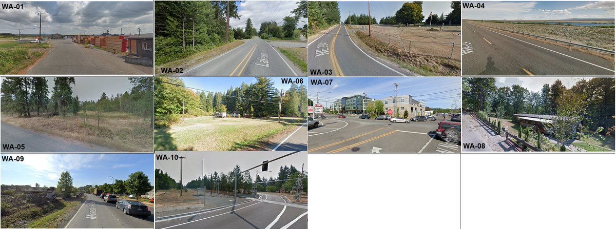
Here are good examples of old and new Washington: WA-01 is a pile of newly-sawed lumber; WA-07 is the headquarters of a running shoe company (Brooks, in the greenish building in the background).
And here we come to an end, fittingly, with the vast emptiness of Wyoming stretching out into infinity.

• • •
Missing some Tweet in this thread? You can try to
force a refresh


