Merryn Profile picture
Apr 29, 2021 10 tweets 4 min read Read on X
Maps make a battle. Have a gander at the Blue & Greys at Shiloh, April 6 1862. Format, tech, scale are incompatible, I know [🤪], but which *style* nails our view of the *spirit* of the action, best? HT @Blanch6144

General Buell's action overview for public consumption? General Buell's map of the battle-field of Shiloh. Buell, Do
Or the simple, approved, on-the-hoof version of the action according to the Confederate commander, Beauregard, drawn up by Frémaux, a French artist working in Louisiana as a civil engineer and cartographer?. Frémaux, Léon Joseph, and G. T Beauregard. Map of the batt
Back to the Union. Is it simplicity that helps? Paraphrasing from Sherman's memoirs: "Buell rode to me, and I explained where we were. Buell asked for use of my map, which I lent him on the promise he would return it. Major Michler made a copy, and returned the original to me." Sherman's "Mud map" of Pittsburg Landing, from Mar
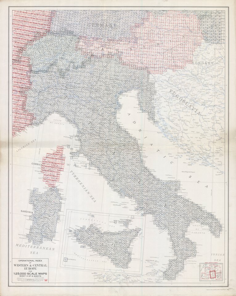
Today, we usually prefer informative, detailed, fit for actual use maps - the American Battlefields Trust has done some great work capturing the accuracy, but does this capture the spirit of the events? Steven Stanley's map for Battlefields.org - Battle of Shiloh
At the time, Robert Knox Sneden made things darker. Sneden was a landscape painter and a map-maker for the Union. Here, his intention is to provide a regional view of the area around Shiloh. Less about the battle, more about the topography. Does it work? Shiloh, Battle of, Tenn., 1862; Sneden, Robert Knox; Battle
Do different orientations make a difference? Probably. Still showing troop positions, but Mitchell and Weiss the cartographers put their (faint) hand-coloured focus on location of batteries, roads, rail, houses, *fences* - important - and general scrub and vegetation. Michler, N, Don Carlos Buell, and John E Weiss. Sketch of th
This one hunkers down on vegetation and drainage ... emphasising the impact of topography on advancing and retreating forces. Can't run quickly if you're in a wet ditch. Would this have been useful for both sides, Union and Confederate? Matz, Otto H. Map of the field of Shiloh, near Pittsburgh La
... and now we get into it. A stylised overview like this isn't very helpful for the artillery but, bearing in mind the print destination for maps of this ilk - they can be effective for propaganda purposes. But what does it tell us about the battle? Manska, J. M. Birdseye view of Tennessee River, Pittsburg La
Coup de grace. Detail from the elusive David Greenspan's map, for Catton’s Pictorial ACW History. Haunting and memorable. Often reproduced as authoritative, ironically full of mistakes, but sparking interest in the ACW for many.
So, a successful map for today, if not yesterday? First produced in Bruce Catton's 'The Civil War', 1960; much
Twitter being what it is, the diligent addition of sources for the maps didn't get included on the ALT+ text in that thread. Which is nuts. And annoying.

• • •

Missing some Tweet in this thread? You can try to force a refresh
 

Keep Current with Merryn

Merryn Profile picture

Stay in touch and get notified when new unrolls are available from this author!

Read all threads

This Thread may be Removed Anytime!

PDF

Twitter may remove this content at anytime! Save it as PDF for later use!

Try unrolling a thread yourself!

how to unroll video
  1. Follow @ThreadReaderApp to mention us!

  2. From a Twitter thread mention us with a keyword "unroll"
@threadreaderapp unroll

Practice here first or read more on our help page!

More from @rentaquill

Mar 27
PSA: The new @WeHaveWaysPod is great, and lots of lovely, lovely people have asked me for maps of Italy over the last couple of days. This is the primer for GSGS's 1:25,000 maps - don't panic - the links to make it readable are coming ...
Image
... and you'll find that index and maps like this one. (Terelle, 1:25,000. GSGS 4228) on Mapster. It's not an intuitive site. It's - a bit clunky. But it's an excellent source for this kind of mapping. Image
Here's the link to the index sheet for 1:25,000 Italian mapping made by GSGS. It's something like 40MB+, so Twitter probably won't show a preview.
maps.mapywig.org/m/ALLIED_maps/…
Read 5 tweets
Nov 8, 2022
Nearly forgot. Wee spotlight on Operation TORCH maps, in preçis form, from the forthcoming Map Men book blah blah blah. Mostly insights on security really, with a few random maps and the odd IWM image.
Details in Alt+ as per usual. @WeHaveWaysPod
[E 18982 - BLM, 3 days early.🫡] Lt General Bernard Montgomery, GOC 8th Army, standing in fro
Okay: first estimates were that TORCH required 30,000,000 maps. That’s more than the entire map run for the British Army in the FWW, but then, Africa is a big place. In all, constraints (and common sense) meant c.10,000,000 maps were produced on 700 different map sheets. OPERATION TORCH INVASION OF NORTH AFRICA – NOVEMBER 1942 (
In all, only eight GSGS officers were ever briefed on the nitty-gritty of TORCH details. The junior staff officer supervising the map store knew what the plan was, and where it would happen – duh – but even he was kept out of the loop for the precise dates of the Operation. The Destruction of the Axis Forces in Africa by Major-Genera
Read 12 tweets
Aug 31, 2022
Because reasons, and because the big fella @thinkdefence is feeling a bit needy - more maps. Made by Das Reichsamt für Landesaufnahme in 1938 (I told you there were reasons) ... these show the bridge crossings over the Oder river basin and the coastal rivers in Pomerania: 🧵/ RfL, 1938: Übersichtskarte der Übergänge im Stromgebiet d
The whole set comprises a six-sheet military map, prepared by RfL in September 1938, as Germany was getting ready to invade Poland. Covers the bit roughly between the Baltic and Racibórz. Low res here, which may be enough, but super-uber-mega res link in the Alt-Text. SHEET 1 - RfL - Poland - Bridges - David Rumsey https://www.
In short, these are all about the river crossings and infrastructure on the western Polish frontier. Have a look at the key on each sheet – more than a dozen symbols for bridges (rail, small gauge rail, road bridges of different capacities, etc.), ferries, canal overpasses, etc. SHEET 2 - RfL - Poland - Bridges - David Rumsey https://www.
Read 8 tweets
Aug 31, 2022
Maps. Maps need triangles. Everything happens somewhere (amirite, @OrdnanceSurvey?!), and to find a point precisely on a map, we need to triangulate that position. Let’s talk about Maj. Gen. William Roy. I'll take questions at the end. 😉🧵/
@natlibscotmaps Kaspar Schott: “Pantometrum Kircherianum”, Max Planck In
It’s 1783. Monsieur Cassini – French bloke, good with triangles – has been working on a new projection. How We See The World. But he’s not convinced about everyone else's view of that world, so he writes a wee blog. You can read the whole thing, here:
archive.org/details/philtr…
TL;DR. Cassini was criticising British geographers' official position of Greenwich. But he also suggested: “’ow about, we defone the relative pissition of the two observatories with a *leetle* meer certainty...?”

Gratuitous Cassini. Do check out Rumsey.😉
bit.ly/3pYN2F4
Read 14 tweets
Apr 30, 2022
Maps and war go hand in hand. I’d like to show you a military map so devoid of *topographic* detail it hurts the eyes … but it's a map that is so full of information, it tells its own story. Ready? Okay: this is the battle of Birch Coulee (this 👇 is not the map 🤪) :🧵 This panoramic 'birds eye v...
For background, while Civil War is rumbling away in the South, a complex system of land treaties and plats (a whole other thread🤦‍♀️) is creating chaos, nationwide. For now, we're focussing on the cession of Dakota territory.
The US had promised the Dakota annuities in exchange for their land, leaving them a strip 20 miles wide, spanning the Minnesota River. The US reneged on the deal. Miserable shits. And so began the US-Dakota war of 1862 (this is not the map either, but we're getting there): This map is part of the Map...
Read 17 tweets
Feb 21, 2022
Drunk on the value of writing. God, I love my job. 🧵

🗨️ A bar was walked into by the passive voice.
💭 Two quotations marks walked into a “synonym”.
🗯️ A bar, a bar, a bar, dammit – epizeuxis walked into a bar!
💬 A synonym strolled into a tavern, an inn, and a gin joint.
👁‍🗨 Synecdoche walked into The Literary Device.
🔈 The bar growled as the anthropomorph walked in.
🗨️ A mixed metaphor walked into a bar for angels, saw the light and kicked the bucket.
💭 When it got rowdy in there, polyptoton asked ‘who’s going to bar the bar’?
🗯️ Into a bar, anastrophe walked.
💬 Tautology, tautology, why did you walk into the bar, tautology?
👁‍🗨 Tmesis par-motherfucking-ambulated into the bar.
🔈 People assume lovers of aphorisms will be found in a bar.
🗨️ A simile walked into a bar, as parched as a nun’s underpants.
Read 9 tweets

Did Thread Reader help you today?

Support us! We are indie developers!


This site is made by just two indie developers on a laptop doing marketing, support and development! Read more about the story.

Become a Premium Member ($3/month or $30/year) and get exclusive features!

Become Premium

Don't want to be a Premium member but still want to support us?

Make a small donation by buying us coffee ($5) or help with server cost ($10)

Donate via Paypal

Or Donate anonymously using crypto!

Ethereum

0xfe58350B80634f60Fa6Dc149a72b4DFbc17D341E copy

Bitcoin

3ATGMxNzCUFzxpMCHL5sWSt4DVtS8UqXpi copy

Thank you for your support!

Follow Us!

:(