
📗 Writer. Excitable. ツ FRGS #mappinghistory Getting lost on purpose. https://t.co/8ofuDhMDUk
 Some of the photos don't have captions. Most of the flare is from the original print. This one's marked Gefangene in Woronesh', and was back to back with the, er, tank* in the previous tweet.
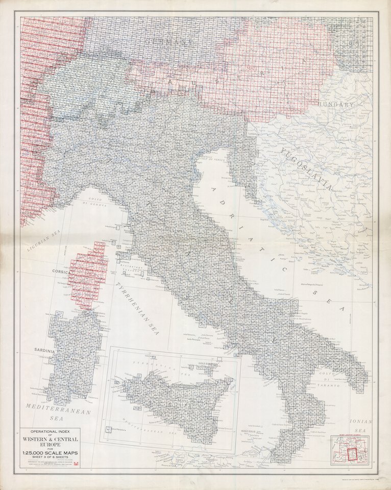 ... and you'll find that index and maps like this one. (Terelle, 1:25,000. GSGS 4228) on Mapster. It's not an intuitive site. It's - a bit clunky. But it's an excellent source for this kind of mapping.
 Okay: first estimates were that TORCH required 30,000,000 maps. That’s more than the entire map run for the British Army in the FWW, but then, Africa is a big place. In all, constraints (and common sense) meant c.10,000,000 maps were produced on 700 different map sheets.
 The whole set comprises a six-sheet military map, prepared by RfL in September 1938, as Germany was getting ready to invade Poland. Covers the bit roughly between the Baltic and Racibórz. Low res here, which may be enough, but super-uber-mega res link in the Alt-Text.
 It’s 1783. Monsieur Cassini – French bloke, good with triangles – has been working on a new projection. How We See The World. But he’s not convinced about everyone else's view of that world, so he writes a wee blog. You can read the whole thing, here:
 For background, while Civil War is rumbling away in the South, a complex system of land treaties and plats (a whole other thread🤦♀️) is creating chaos, nationwide. For now, we're focussing on the cession of Dakota territory.
 In September 1939, the Wehrmacht set up the POW camp in Sandbostel, in lower Saxony. This was just one of KZ Neuengamme’s 85 satellite camps, spread across northern Germany. Working conditions varied, the camps were broadly segregated by sex.


 Start big. Overviews are useful. This one is a public domain, US Army-sourced map showing the transportation routes across the China-Burma-India theatre between 1942-1943. It ain't all that. But...
 Or the simple, approved, on-the-hoof version of the action according to the Confederate commander, Beauregard, drawn up by Frémaux, a French artist working in Louisiana as a civil engineer and cartographer?.
 Bastogne, 20th December...