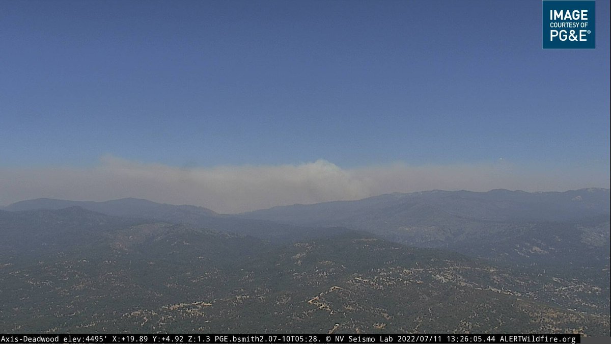
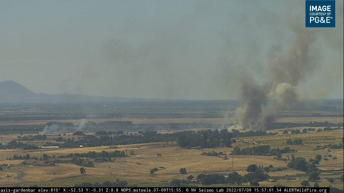
#WashburnFire (Yosemite NP) - Last mapped a couple of hours ago @ ~1,120 acres w/ 25 acre spot fire. Visibility is an issue today but lesser activity showing, only copters up for now & it looks like they're working the S/W side near Mariposa Grove Rd. share.watchduty.org/incident/606
#WashburnFire (Yosemite NP) - Perimeter now viewable on #FireMappers now (thanks @KeithJGw), includes that ~25 acre spot to the N/E, totaling just under 1,200 acres. Looks like the majority of the smaller spots are all part of the main fire now. Link > arcg.is/arKj5
#WashburnFire (Yosemite NP) - Increasing fire activity & fire burning up slope to the east of Wawona Point on the ridge w/ the radio antennas, w/ likelihood of throwing additional spot fires out in front per radio traffic.
#WashburnFire (Yosemite NP) - Retardant operations are restarting again, requesting 4 large air tankers & 2 VLATs back to the fire. FIRIS mapped the fire @ 1,384 acres around 4pm.
#WashburnFire (Yosemite NP) - Visibility has become too poor for this retardant operation to continue, they were working on the ridge going east from Wawona Point but this has only been partially completed w/ gaps in the line per radio traffic.
#WashburnFire (Yosemite NP) - 1,591 acres from the mapping data that was done around 10pm tonight. Red X's in 2nd & 3rd images are isolated heat signatures (spots). 2nd image = pointing north, 3rd image = pointing south. Little to see on cameras right now.
Nothing further to add on this one tonight, back later in the day.
• • •
Missing some Tweet in this thread? You can try to
force a refresh
#WashburnFire (Yosemite NP) - From the community meeting: the fire is not moving very quick, it is however burning very intensely due to the fuels. Fire has flanked along Hwy 41 & the spot fires across Hwy 41 have all been picked up & were small in nature.
#WashburnFire (Yosemite NP) - They have got hand/dozer line in along the Wawaona/Stud Horse Trail system down to the South Fork of the Merced River, no spots across it. They have some dozer line around the Wawona community along w/ sprinklers, hose & engines if the fire advances.
#WashburnFire (Yosemite NP) - The east side of the fire has been flanking along the slopes & making short up slope runs. 6 hot shot crews have been working east from Wawona Point towards the forest boundary & have line in there + retardant. That ridge is holding for now.
#WashburnFire (Yosemite NP) - 2,340 acres & 25% contained per @YosemiteFire. A community meeting will happen tonight @ 7pm, at the Community Center of Oakhurst, 39800 Fresno Flats Rd in Oakhurst. Also will be streamed on their Facebook @ facebook.com/YosemiteFire/
#WashburnFire (Yosemite NP) - Division M reporting multiple spot fires across Hwy 41 (western side of the fire). Most active spot is 50x50ft, pulling additional resources from other divisions for this.
#WashburnFire (Yosemite NP) - FIRIS mapped the fire around 2,720 acres ~45 mins ago. Fire activity also increasing on the eastern side of the fire & it will bump the retardant lines (may be the ones running east-west from Wawona Point), ordering an Air Attack back to the fire.
#WashburnFire (Yosemite NP) - Last mapped a few hours ago @ 1,821 acres. Just now looking to get HelCo back to the fire to assess whether copters can resume work (no copters or tankers due to visibility right now). Map via #FireMappers: arcg.is/0bK9LT
#WashburnFire (Yosemite NP) - There is a ridge they want to paint w/ retardant (possibly the one running east-west from yesterday near Wawona Point) & the air looks clear enough for it per the HelCo, ordering an Air Attack + lead plane back to the fire to confirm.
#WashburnFire (Yosemite NP) - Air Attack requesting 3 large air tankers & 1 VLAT back to the fire, they'll be painting this ridge below in blue, which was also partially done yesterday until visibility shut it down.
#PorterFire in Placer Co near #Sheridan: 25 acres in light flashy fuels, flat topography, no immediate structure threat per first arriving engine. Porter Rd & Karchner Rd.
#PorterFire (#Sheridan, Placer Co) - BC revising to 12 acres w/ now an immediate structure threat on the Porter Rd side.
#PorterFire (#Sheridan, Placer Co) - IC reporting 175 acres & aircraft have stopped the head of the fire. Air Attack releasing some of the tankers now.
This fire in the marsh in #Pittsburg in Contra Costa Co flared up again yesterday & even more so today, widely visible throughout the area. Air resources requested & CAL FIRE sending Copter 908. #PittMarshFire (that hashtag may change if they make a new incident for today).
#Pittsburg - Renamed to the #MarshFire. Copter 908 working it now, not much further it can spread to the east as the marsh ends. Heavy ember cast towards homes & looking to establish a structure protection group.
#MarshFire (#Pittsburg, Contra Costa Co) - Structure protection may be needed @ 8th St & Beacon St, sending resources there. Copter 908 requesting a 2nd copter (type 1), ordered through CAL FIRE.
#FawnFire (#MountainGate, Shasta Co) - From the community meeting: 6,820 acres & 10% containment. 169 engines, 45 dozers, 35 handcrews & 29 water tenders assigned for a total of 1,663 personnel. 9,000 structures remain threatened.
#FawnFire - A damage inspection team from CAL FIRE is en-route & arrive tomorrow, as a result of that they should have updated structural damage/destroyed figures tomorrow. A priority today was mop up & patrol in Div Y on the S/W side, significant amount of structures there.
#FawnFire - As of this evening, they've had no reports of any additional structures burning today. Lots of good work has been done & those 9,000 structures that are threatened are now in a much better situation than earlier on, but a lot of work left to do.