#WashburnFire (Yosemite NP) - From the community conference: the line around the Mariposa Grove & out to Hwy 41 is holding very well, still mopping up. 16 small spot fires were across Hwy 41 in the past few days & those are all contained & being mopped up.
#WashburnFire (Yosemite NP) - The Hwy 41 road system to Stud Horse Trail is looking very well. All of the sport fires to the north of the river are contained. There is less & less heat every day along the S-F-M-R on the western end of the fire.
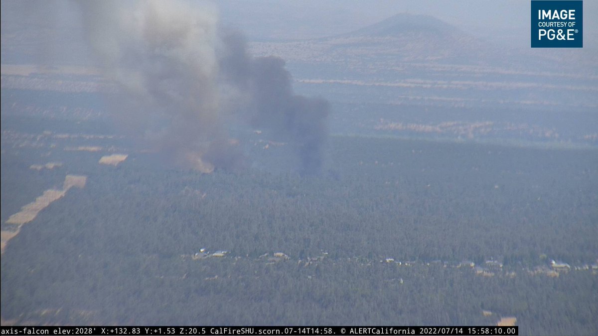
#WashburnFire (Yosemite NP) - [Their internet turns to shit around here] still a lot of heat along the S-F-M-R on the eastern end of the fire. Inserted a crew via helicopter to a remote cabin in the Buck Creek area incase fire spreads that way, prepping around the structure.
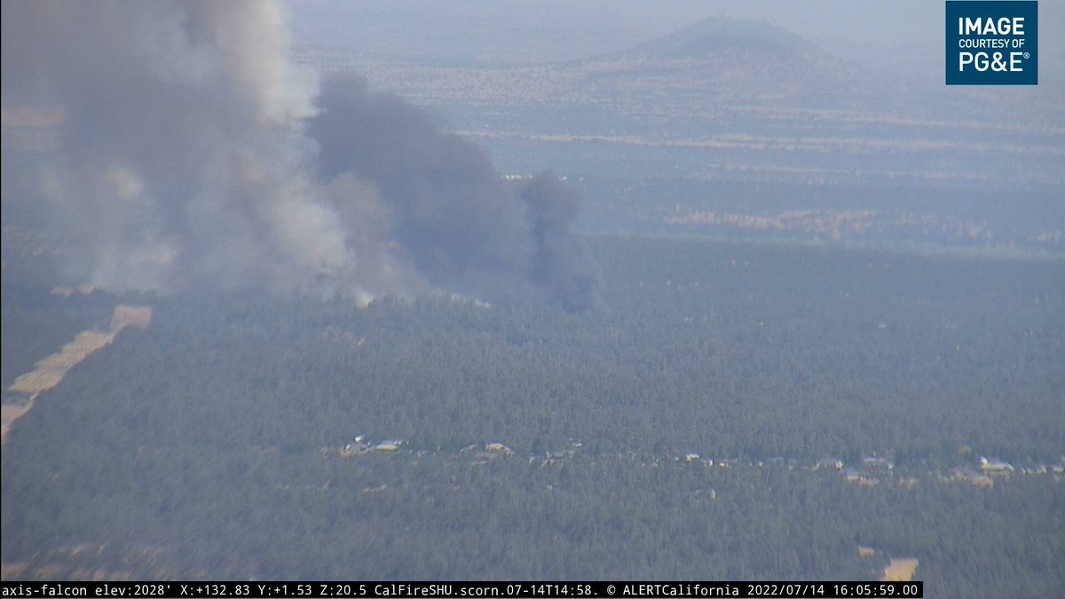
#WashburnFire (Yosemite NP) - The fire continues to move east & spot ahead, advancing approx 1/2-3/4 of a mile a day consistently. Currently .2-.3 of a mile away from Iron Creek. They have 7 hot shot crews on that far eastern end of the fire (140 hot shots).
#WashburnFire (Yosemite NP) - The ridge east of Wawona Point > Raymond Mtn continues to hold well, 100 hot shots in there now & anticipate calling that piece contained in ~48 hours. FF's continue to clean up around Mariposa Grove & the grove itself remains in a very good place.
#WashburnFire (Yosemite NP) - Also: likely will be able to repopulate Wawona (residents & property owners only) on Sunday morning, this is still under assessment & requires hazards to be mitigated first. That time frame is their best estimate. Likely more info on Sat morning.

• • •

Missing some Tweet in this thread? You can try to force a refresh
 

Keep Current with CA Fire Scanner

CA Fire Scanner Profile picture

Stay in touch and get notified when new unrolls are available from this author!

Read all threads

This Thread may be Removed Anytime!

PDF

Twitter may remove this content at anytime! Save it as PDF for later use!

Try unrolling a thread yourself!

how to unroll video
  1. Follow @ThreadReaderApp to mention us!

  2. From a Twitter thread mention us with a keyword "unroll"
@threadreaderapp unroll

Practice here first or read more on our help page!

More from @CAFireScanner

Jul 14
#PeterFire near #Anderson in Shasta Co: 10 acres w/ moderate rate of spread & multiple spots out in front, 5 addl engines + 3 water tenders requested, was reported as a structure fire into veg. Peter Pan Gulch Rd & Olinda Rd.
#PeterFire (#Anderson, Shasta Co) - IC reporting 1 structure fully involved & on the ground along w/ 20-30 acres of grass & oak woodland, requested 4 addl handcrews & 2 addl dozers.
#PeterFire (#Anderson, Shasta Co) - IC reporting 50+ acres now, requesting 10 addl engines any type closest. Evacuations in progress, working w/ Sheriff's + Anderson PD, mentioned La Colina Terrace as a starting point for evacs.
Read 17 tweets
Jul 14
#HermanFire in the #Benicia area of Solano Co: 3rd alarm + CAL FIRE response including aircraft + 3 addl type 3 engines on order. The fire has jumped Lake Herman Rd. No residences threatened. Sky Valley Rd & Lake Herman Rd. share.watchduty.org/incident/677
#HermanFire (#LakeHerman, Solano Co) - CAL FIRE BC reporting 50-60 acres in grass w/ moderate rate of spread.
#HermanFire (#LakeHerman, Solano Co) - Might be a new fire @ I-80 & Red Top Rd too, dispatching a response. There is a live stream from @abc7newsbayarea at abc7news.com/watch/7704/
Read 6 tweets
Jul 12
#WashburnFire (Yosemite NP) - Last mapped at 3,516 acres by FIRIS - on map below, remains 22% contained. Not too much happening right now, a couple of copters are up over by Raymond Mountain. The spots across the river & Hwy 41 showed no more heat. Map > arcg.is/14HDCv0 ImageImage
#WashburnFire (Yosemite NP) - Fire Watch 51 has located another 50x50ft spot 100ft across Hwy 41, says there is clear air above & they should be able to get it, ordering 2 copters for bucket work. The ridge east of Wawona Point continues to hold w/ all activity to the north.
#WashburnFire (Yosemite NP) - FW51 mapped the fire @ 3,717 acres just now. The spot fire across Hwy 41 in Div M is now approx 2 acres per radio traffic. There is also some spots well ahead of the main fire north of Raymond Mountain about a mile from Iron Creek.
Read 7 tweets
Jul 12
#WashburnFire (Yosemite NP) - From the community meeting: the fire is not moving very quick, it is however burning very intensely due to the fuels. Fire has flanked along Hwy 41 & the spot fires across Hwy 41 have all been picked up & were small in nature.
#WashburnFire (Yosemite NP) - They have got hand/dozer line in along the Wawaona/Stud Horse Trail system down to the South Fork of the Merced River, no spots across it. They have some dozer line around the Wawona community along w/ sprinklers, hose & engines if the fire advances.
#WashburnFire (Yosemite NP) - The east side of the fire has been flanking along the slopes & making short up slope runs. 6 hot shot crews have been working east from Wawona Point towards the forest boundary & have line in there + retardant. That ridge is holding for now.
Read 5 tweets
Jul 11
#WashburnFire (Yosemite NP) - 2,340 acres & 25% contained per @YosemiteFire. A community meeting will happen tonight @ 7pm, at the Community Center of Oakhurst, 39800 Fresno Flats Rd in Oakhurst. Also will be streamed on their Facebook @ facebook.com/YosemiteFire/
#WashburnFire (Yosemite NP) - Division M reporting multiple spot fires across Hwy 41 (western side of the fire). Most active spot is 50x50ft, pulling additional resources from other divisions for this.
#WashburnFire (Yosemite NP) - FIRIS mapped the fire around 2,720 acres ~45 mins ago. Fire activity also increasing on the eastern side of the fire & it will bump the retardant lines (may be the ones running east-west from Wawona Point), ordering an Air Attack back to the fire.
Read 11 tweets
Jul 10
#WashburnFire (Yosemite NP) - Last mapped a few hours ago @ 1,821 acres. Just now looking to get HelCo back to the fire to assess whether copters can resume work (no copters or tankers due to visibility right now). Map via #FireMappers: arcg.is/0bK9LT
#WashburnFire (Yosemite NP) - There is a ridge they want to paint w/ retardant (possibly the one running east-west from yesterday near Wawona Point) & the air looks clear enough for it per the HelCo, ordering an Air Attack + lead plane back to the fire to confirm.
#WashburnFire (Yosemite NP) - Air Attack requesting 3 large air tankers & 1 VLAT back to the fire, they'll be painting this ridge below in blue, which was also partially done yesterday until visibility shut it down.
Read 8 tweets

Did Thread Reader help you today?

Support us! We are indie developers!


This site is made by just two indie developers on a laptop doing marketing, support and development! Read more about the story.

Become a Premium Member ($3/month or $30/year) and get exclusive features!

Become Premium

Don't want to be a Premium member but still want to support us?

Make a small donation by buying us coffee ($5) or help with server cost ($10)

Donate via Paypal

Or Donate anonymously using crypto!

Ethereum

0xfe58350B80634f60Fa6Dc149a72b4DFbc17D341E copy

Bitcoin

3ATGMxNzCUFzxpMCHL5sWSt4DVtS8UqXpi copy

Thank you for your support!

Follow Us on Twitter!

:(