What a ring road has to do with the papal visit. 

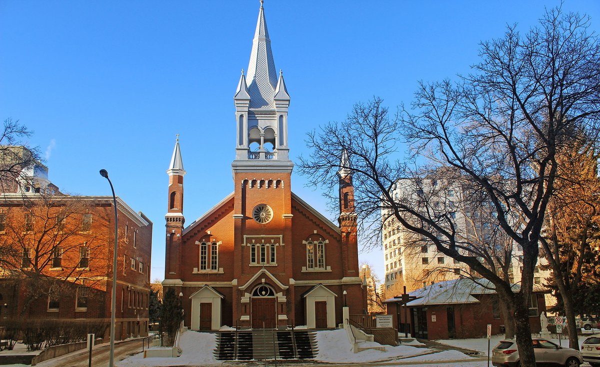
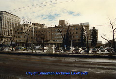
The Oliver neighbourhood has been a focus for Roman Catholics in Edmonton for 140 years. In addition to Saint-Joachim Church and St. Joseph's Basilica, there's the Archbishop's Palace and the General Hospital, which was founded and run by the Grey Nuns.


Another long-time Catholic institution in the area was the St. Joseph Seminary. Just north of Saint-Joachim, it was founded in 1927 when the Catholic Archdiocese took over priest training from the Missionary Oblates of Mary Immaculate. Its history is here: stjoseph-seminary.com/About/Our-Hist…

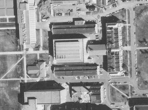
In the late 1950s the old seminary was vacated (& then demolished -- it remains a parking lot to this day) for a new modernist campus in a field between Edmonton & St. Albert. Its chapel had beautiful stained glass from France. Architectural details at: jkenglish-architecture-project.com/st-josephs-sem…


But modernist suburbanization begets modernist transportation. In the 1960s, highway planning foreshadowed changes for the pastoral retreat, which in 1969 also became home to @NTCEdmonton. Successive plans anticipated a ring road in the immediate vicinity.

A 1973 study of the "Edmonton Parkway Ring" specifically noted that there would be a pinch point in the planned corridor adjacent to St. Joseph Seminary.

But it took the Gov. of Alberta years to acquire all the land ("Transportation and Utility Corridor" or TUC) for the ring road, and in the 1980s there wasn't money to build it. Construction didn't begin until 1990, starting in the west & proceeding south. alberta.ca/transportation…
When in the mid-2000s design of the north leg of the ring road (which had been named Anthony Henday Dr) got going, the biggest controversy was the segment near St. Joseph Seminary / Newman Theological College. St. Albert residents felt it pushed the road too close to their homes.

Maybe 500 angry residents attending an open house was part of a strategy that @ABTransComm used to prevail on the Catholic Church, or maybe it was just a natural reaction to technical constraints the engineers were dealing with, but that's not something you dismiss lightly.

It would have been a tricky situation. I imagine that Ed Stelmach, who at the time was serving as Alberta's first Catholic premier (and who I have a lot of respect for) helped ensure a resolution to the problem. canadianchristianity.com/albertas-hones…
In 2007 the province announced a deal to buy the property from the church. The church no doubt loved its facility but it was now 50 yrs old & had increasing maintenance issues. If retained it would need investment & would have forever been impacted by traffic noise.


Plus the church would have earned the semi-permanent wrath of the residents of a city founded by and effectively named after Catholic missionary Father Albert Lacombe. albertashistoricplaces.com/2011/06/14/st-…

So the road design was adjusted such that traffic lanes are mostly about 200 m from homes. (In one location it's 110 m but there is a berm & trees buffer.) The site of the gorgeous mid-century modern chapel is now an on-ramp verge that drivers have been ignoring since 2011.

With land sale revenue in hand, the church applied to rezone the Forest Heights site where the @archedmonton office had been located since about 1990. The site has its own complex history but that's a story for another thread.

The site had been an object of desire for developers for years due its unsurpassed valley view in which the river rolls out like a welcome mat for #yegdt. In the days before zoning was online I met a prominent developer in the @PlanEdmonton offices scoping out the site's zoning.

But the church evidently appreciated its potential too. After getting the rezoning ("I got a thank you card from the archbishop!" the senior planner, of Polish ancestry, told me), the church demolished the small residences in the middle of the site...

... and had @DIALOG design a new seminary and college that opened in late 2010. dialogdesign.ca/projects/st-jo…

This 2011 article describes the residential aspects of the project and quotes the architect on her inspiration and design thinking, while this St. Joseph Seminary web page goes into more detail. stjoseph-seminary.com/About/The-Curr…

I would now love to ask the architect if a papal visit was ever a design consideration. A couple of weeks ago when the security fencing started going up around the site, it was clear that this was where the pontiff would be staying while in Edmonton.


I've never planned a papal visit but can see how a dignified, modern seminary on a site with a great view & space for motorcade assembly & security & event staff, in a low-key neighbourhood, in a region with a large Indigenous population, would be an attractive proposition.


Construction of a ring road didn't determine this @Pontifex travel location decision, but it clearly played a role in how this @papal_visit was organized.


• • •
Missing some Tweet in this thread? You can try to
force a refresh