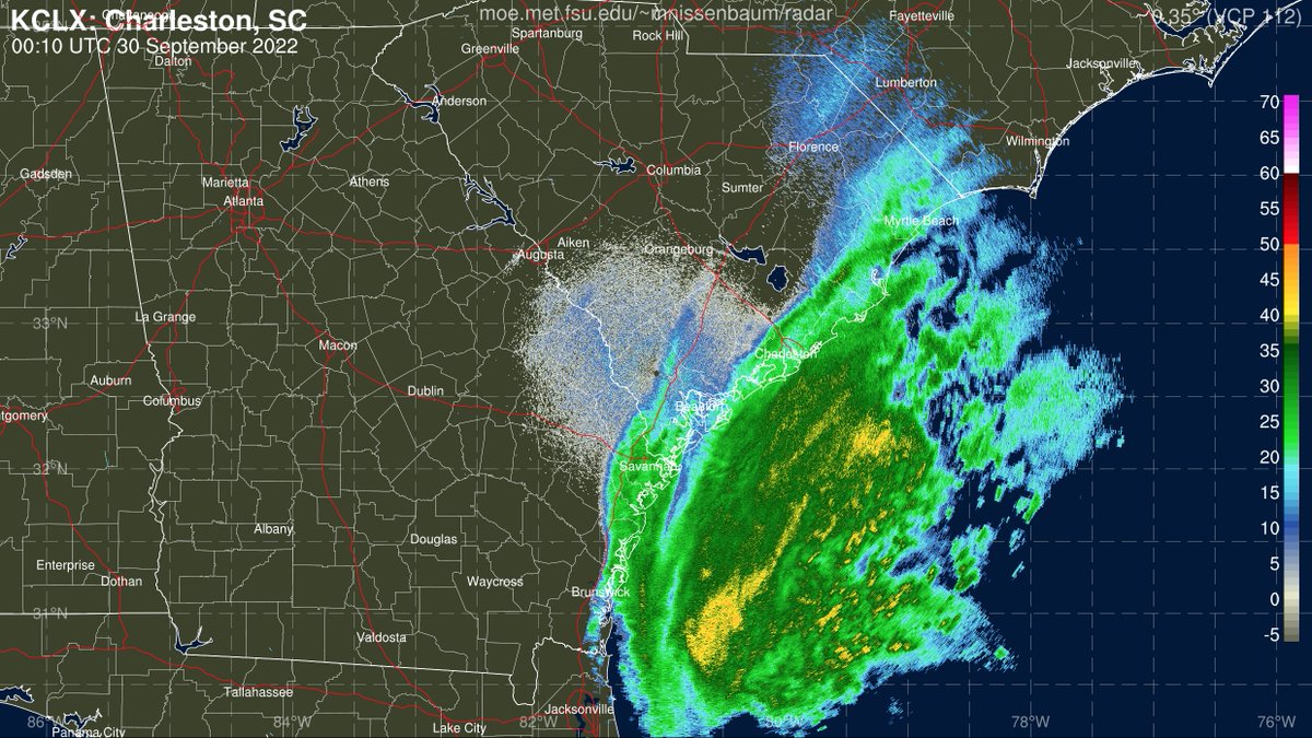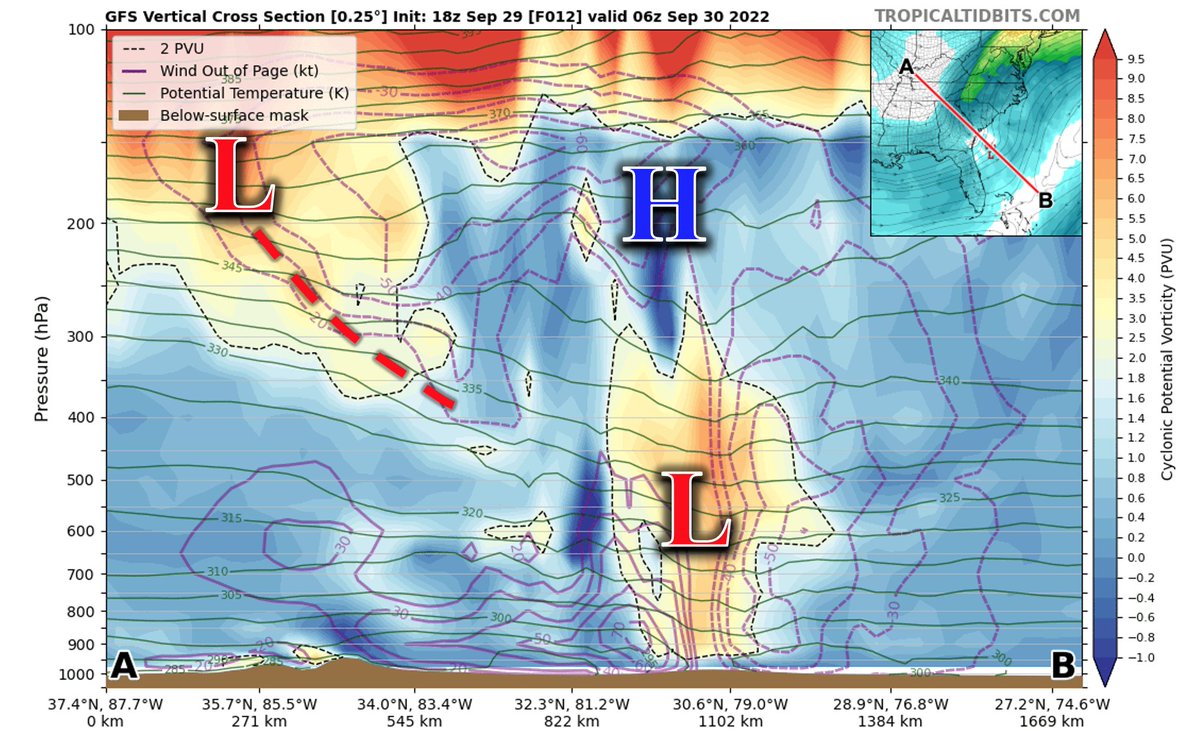
Hurricane Hunters sampling #Ian this evening have found the storm to be strengthening, arguably more than what was expected from this morning's forecasts, w/ SFMR of up to ~ 75 kts (85 mph) in #Ian's NW quadrant.
#ncwx #scwx

#ncwx #scwx


For the Carolinas, I'm more concerned about wx impacts than I was this morning, esp for the Pee Dee region of SC into east-central NC. The combo of heavy rain leading to saturated ground + wind gusts of 50-60+ mph will favor 🌳 falling onto power lines/power outages
#scwx #ncwx
#scwx #ncwx
Here's the latest NWS NDFD max wind gust & WPC precip fcsts. Given #Ian's more impressive than expected strengthening today, there's certainly a small chance hurricane-force wind gusts (74+ mph) could sneak as far north as the southern coastal plain of NC.
#ncwx #scwx

#ncwx #scwx


• • •
Missing some Tweet in this thread? You can try to
force a refresh


