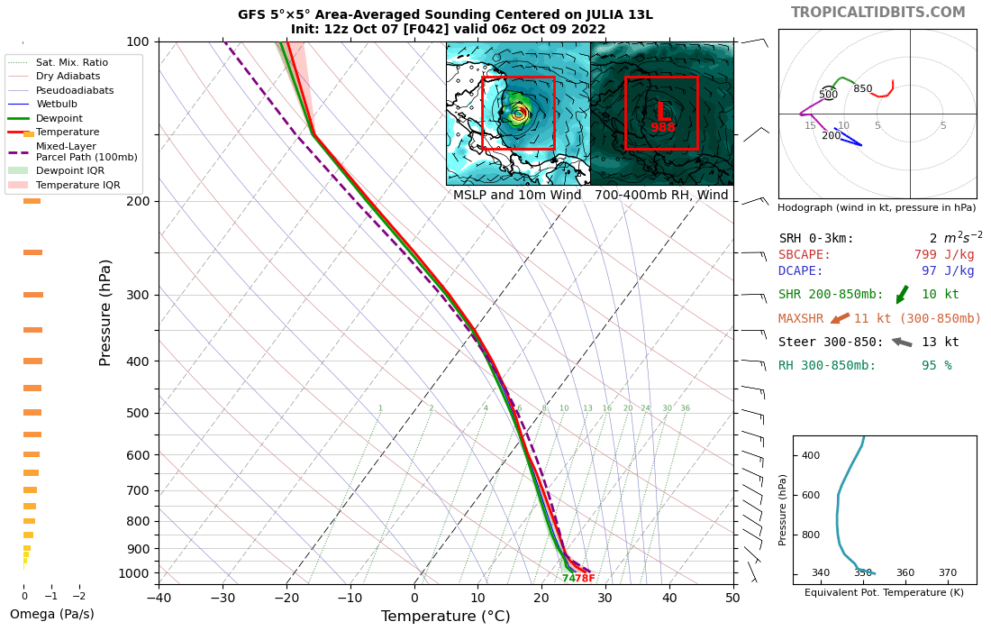
It's probably worth noting that a lot of this wind shear (black arrows) is being driven by the position and strength of upper-level features rather than varying mid-level flow. In fact, winds beneath 500mb are relatively uniform and in line with the storm's motion (green arrow).
IMO, this is reflected pretty well on satellite imagery, where cirrus outflow from thunderstorms is being shunted south while shallow convection continues to build around the better defined surface circulation. Could allow for some deepening over the coming hours before upper...
...winds over #Julia weaken and become more easterly. Once that happens, more significant (and possibly even rapid) intensification could set in depending on the state of the TC's inner core by then. Fairly large variety of predictors show a moderate shot at RI in the timeframe.
• • •
Missing some Tweet in this thread? You can try to
force a refresh
[Thread]: As a result of weak or reversed trade winds, a broad gyre-like feature has become established over the eastern MDR. Vorticity maxima that form within this have generally rotated around the periphery into a more stable environment to the north.
These features aren’t necessarily uncommon in during this time of the year. Different speeds of heating between the Atlantic and Africa favor a NE to SW tilt to the monsoon trough, which tends to break off into these cyclonic gyres that drift west in weak trade winds.
Flow around the periphery of the broad circulation encourage the entrainment of the dry airmass to the north, suppressing convection and causing the gyre to disintegrate as it heads west. As the focal point of convergence, embedded tropical waves continue west mostly intact.
There’s been a lot of talk about TS Ida passing over an eddy that separated from the Loop Current while it’s traversing the Gulf of Mexico. Many of these tweets refer to the associated high oceanic heat content, and it’s worth taking a look at how and why this may be important.
The first question to address: What is OHC and TCHP? Oceanic heat content (or OHC) is the vertical integration of heat in the ocean. It’s a rather general term that enjoys widespread usage. For TC purposes, only the upper ocean is considered (above the 26C isotherm).
As far as I can tell, TCHP (or tropical cyclone heat potential) is a far more specific index, vertically integrating heat only above the 26C isotherm’s depth. Both metrics (upper OHC and TCHP) are pretty much interchangeable as a result.
Past studies on African Sahel rainfall (including analysis of past droughts late in the 20th century) have indicated that the precipitation in the region has a decent correlation to the interhemispheric temperature gradient.
The aforementioned extreme drought in the latter half of the 20th century can be explained by this mechanism, with warming in the Southern Hemisphere outpacing that of the Northern half of the globe. It’s likely that this is a fault of anthropogenic causes, with human emissions…
…of aerosols in the Northern Hemisphere, causing relative cooling (or at least a decreased pace of warming). Aerosol emissions peaked in the 1980s, and have seen a decrease since then as restrictions were put in place (figure source: journals.ametsoc.org/view/journals/…).