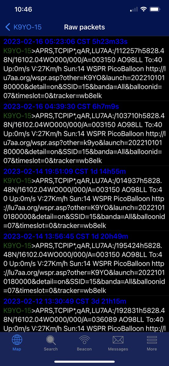
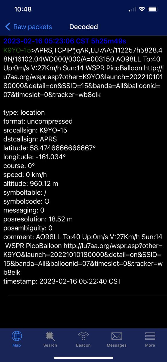
I have questions about the last position and timing. The last raw APRS packet shows it here at 11:23:06 UTC.
I guess I’m lost here! The APRS data has the last packet ~5 hours ago Feb 16th. The shoot down over Yukon was Feb 11th? The altitude shows 960.12m
The last several packets were the same. I wouldn’t expect GPS to give the exact same data even if the ballon is stationary! Feels like APRS is beaconing bad data! Or the system they used to inject that data to APRS is still going.
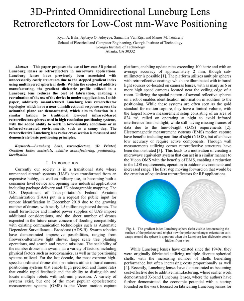
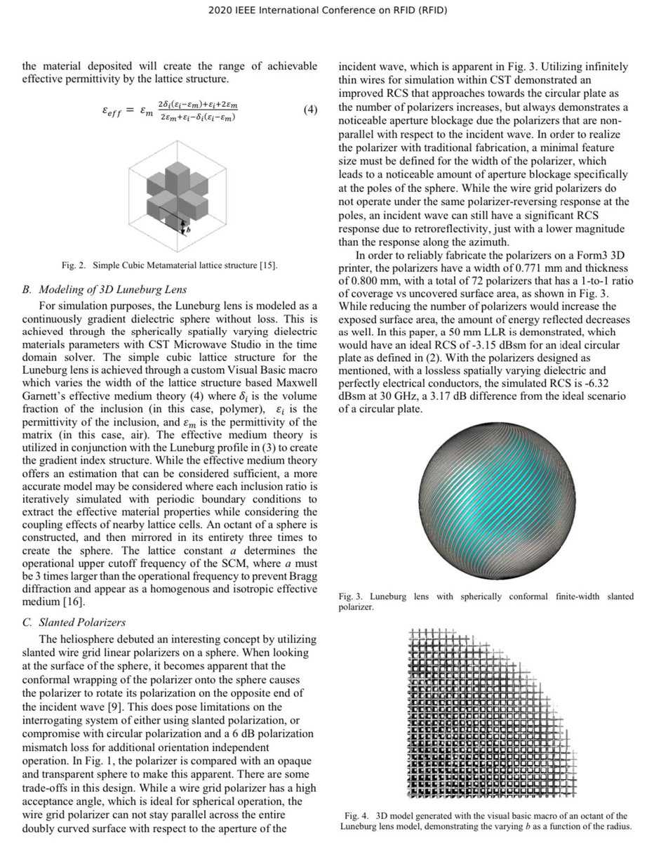
In the case of this balloon the RCS would be roughly equal to the diameter. 32” 81.28cm as long as the wavelength << diameter. L-Band 24cm would be quite long for that to hold true but it would still return a significant amount of energy.
For X-Band like the F-22s APG-77 80cm is going to be really close. No idea how far a the F-22 could detect a 80cm sphere.
Pearl Harbor radar plot!
Here is what the Opana Radar Station looks like today, still in use as a radar site! Back in 1941 a SCR-270 was located at this site. The SCR-270 operated at 106MHz which is quite low in frequency compared with modern radars. I have attached a coverage plot of the SCR-270 at this site.
👀 This is an important loss for Ukraine! 80K6M is a large S-Band 3D phased array radar produced in Ukraine. This is one of the most capable radars Ukraine operates and very few have been produced from what we can tell. Specs are in the technical brochure images 3 and 4. Source:
Geolocation revels it was located very close to the location where a Ukrainian ST-68U was destroyed by suspected glide bomb recently! Eastern icon was the 80K6M and the Western was the location of the ST-68U
C-Band 5.405GHz +- 100MHz emitter south of Luhansk near Andrivka Russian occupied Ukraine 48.354121, 39.451673 2023-06-10 03:31:35 to 03:32:00 UTC. The dual pol X-Pattern is back!!
Looks like something new at this site between 5-20-2023 and 6-7-2023 48.355439, 39.450532
Ordered some Planet Scope imagery for this site! Thanks to all generous donations I can post these images! If you want to take it to the next level we could task a satellite as soon as we see emissions just takes $$$ buymeacoffee.com/radioandnukes
Large hole in the radome at the Mayak Crimea radar site, cause unknown. 45.345597, 32.521076 Imagery source Skywatch 50cm date 5-7-2023.
Satellite images aren't cheap! If you would like to see more please consider buying me a coffee! I feel so awkward asking but I would really like to take this to the next level. Thank you! buymeacoffee.com/radioandnukes