Dr Thomas Smith 🔥🌏 Profile picture
May 30 12 tweets 7 min read Twitter logo Read on Twitter
This #wildfire in Cannich is sending a large smoke plume over Loch Ness. This fire has the potential to be one of Scotland's largest (in the satellite era). It's already approaching 3,000 ha and does not appear to be under control with strong winds. @fire_scot ImageImage
This was the same area on 29 May & 26 May, respectively, showing hotspots here for a few days, suggesting today's acceleration is a flare-up/rekindling of a fire from last week/the weekend. ImageImage
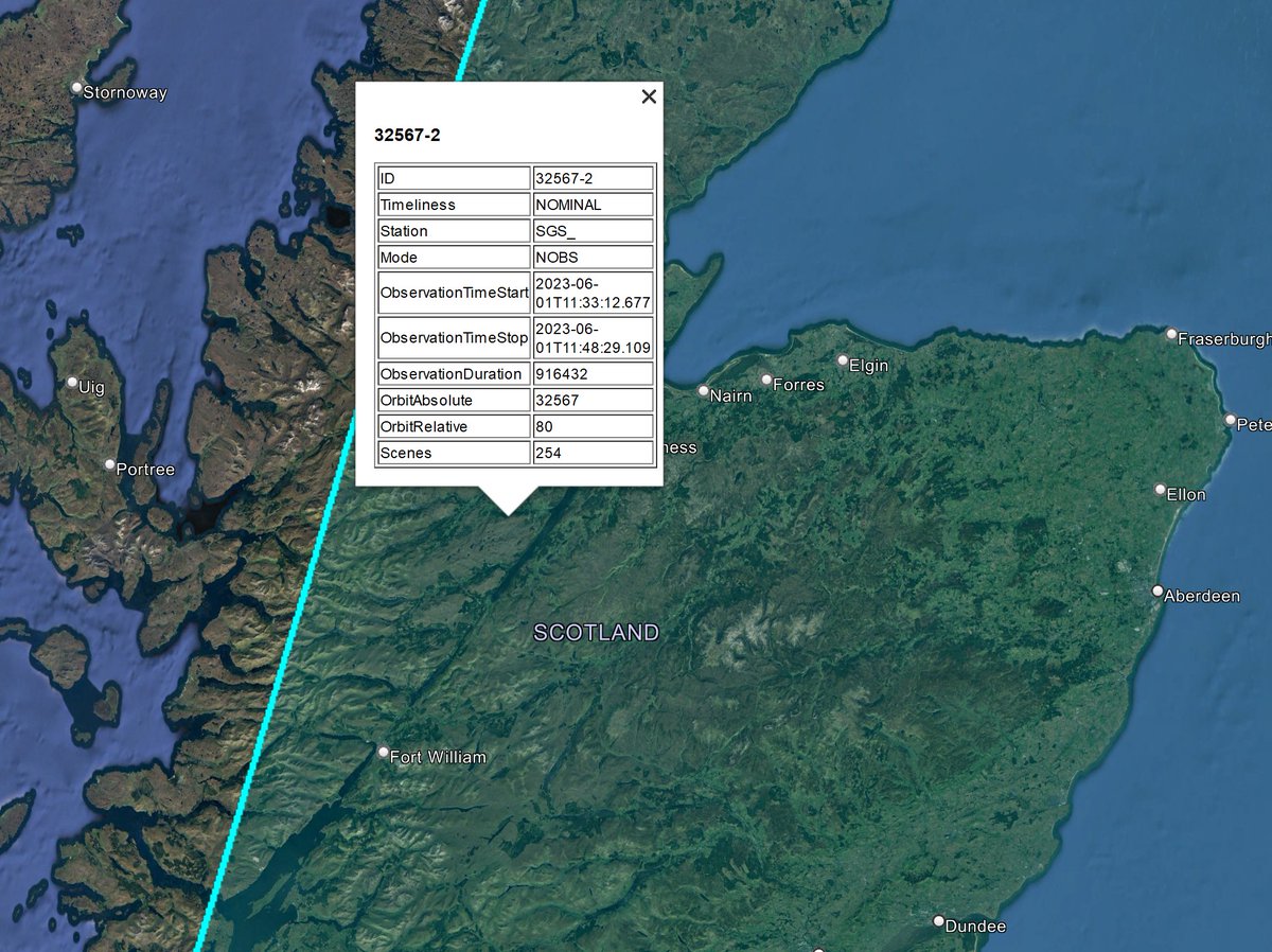
There was a @sentinel_hub overpass today around midday, centred over this fire. I'll post an update with high-res imagery as soon as it appears online. This is usually around 8 pm. The next overpass isn't until Thursday. ImageImage
Some photos from on the ground @heraldscotland @EmaSabljak. The smoke plume suggests intense fire behaviour. Very sad to hear of injuries requiring the air ambulance.
heraldscotland.com/news/23557126.…
Here's the Sentinel-2 imagery from today @sentinel_hub -- this was captured around midday, so before the MODIS hotspots in the earlier tweets. However, we get a better picture of the fire dynamics on the ground at that time.
Processed using @Pierre_Markuse custom script. ImageImage
In this wider view, you can see why this wildfire has a lot of potential if it isn't contained overnight. When the satellites overpassed, this fire was ~1,000-2,000 ha (high uncertainty due to low resolution of MODIS hotspots), but it could be much larger by tomorrow. Image
I think the fire behaviour became more intense after this Sentinel acquisition around midday. By Aqua's imagery at ~2 pm, the smoke plume was far more prominent and the burnt area looks to be larger. Suggesting very fast rate-of-spread in the afternoon. Image
Important update on the Cannich wildfire. Imagery from today (31 May) shows the fire was contained shortly after yesterday's satellite overpasses. It's unlikely this wildfire exceeded ~1,300 ha (the outline in the image is ~1,600 ha, but is larger than the apparent burnt area). Image
Initial overestimates were likely due to problems with estimating burnt area from hotspots alone, which was all we had yesterday. These can often be misplaced due to terrain & atmospheric effects. In this case, some hotspots were beyond the apparent burnt area, particularly MODIS
Probably a testament to the efforts on the ground that this fire didn't spread much further. Monumental effort given the length of the headfire. @fire_scot
@fire_scot Here's a useful comparison of yesterday's midday imagery with today's 'extinguished' burnt area estimate, showing the acceleration of the fire to the south, almost doubling in size yesterday afternoon.
My final estimates are:
Burnt area 1,300 ha (13 sq km)
21 km perimeter Image

• • •

Missing some Tweet in this thread? You can try to force a refresh
 

Keep Current with Dr Thomas Smith 🔥🌏

Dr Thomas Smith 🔥🌏 Profile picture

Stay in touch and get notified when new unrolls are available from this author!

Read all threads

This Thread may be Removed Anytime!

PDF

Twitter may remove this content at anytime! Save it as PDF for later use!

Try unrolling a thread yourself!

how to unroll video
  1. Follow @ThreadReaderApp to mention us!

  2. From a Twitter thread mention us with a keyword "unroll"
@threadreaderapp unroll

Practice here first or read more on our help page!

More from @DrTELS

May 30
A complete shutdown of cold water ocean upwelling off the coast of Peru is the sign of a strong impending El Niño... It was along this coast that the phrase was first coined by colonial Spanish fishermen. This is a huge anomaly. Image
But what is weird about this anomaly is that the cooling of the western pacific isn't happening yet... The whole ocean is abnormally warm... so is the Atlantic. What this means for El Niño, & the global weather teleconnections is uncertain to say the least. This isn't good news. ImageImage
Source of wind maps here:
earth.nullschool.net/#current/ocean…
Source of anomaly figure here:
earthobservatory.nasa.gov/images/151183/…
Read 6 tweets
May 29
Spending some time with my mum and discovered this! Is it really a good idea to be spraying your house plants with a varnish (contains >30% aliphatic hydrocarbons, with no list of specific contents). Can it be volatised? Will it enhance ozone production? Is it carcinogenic? Image
Not to mention the fire hazard?! @GuillermoRein
The can says highly flammable and also has a solvents warning.
Fire experiment in progress... Watch this space for results. Image
Read 4 tweets
Aug 22, 2022
Heatwave & drought in China, not covered widely by western media. Here's a wildfire burning on the outskirts of Chongqing (population: 31 million), with a smoke plume covering half of the city. Wider view (400 km across) shows a comparison with a more typical year. 🇨🇳🔥🛰️ ImageImageImage
Thanks to one of our second-year @LSEGeography undergraduates who asked me to check out this fire who said "I am so surprised by this wildfire. It suddenly becomes so real when it happens near my friend"
Source of imagery @NASAEarth: worldview.earthdata.nasa.gov/?v=103.4572515…
Imagery from today (22 August 2022) and 2019 (17 August 2019)
🛰️
Read 6 tweets
Aug 22, 2022
I reckon this building is now one of the most struck-by-lightining buildings in the world. Second tallest building in the world and in equatorial Asia. Just witnessed it being struck three times in the space of ten minutes!
#lightning #merdeka118 #KualaLumpur🇲🇾
And if someone can tell me why there are three flashes I'd be very grateful twitter! ... To the naked eye it was just one!
So there were four flashes. Would love to know why! @US_Stormwatch @StormChaserLiam @StormChaseUK @ben_rich
Just very excited to use my lightning camera app!
Read 4 tweets
Aug 21, 2020
New paper out this week @ELSenviron led by @feliciahmliu. We discuss the many contrasting narratives of oil palm plantation sustainability issues in the media of Indonesia, Malaysia, & Singapore. [1/]
Link: authors.elsevier.com/a/1bbrp5Ce0rdV… Image
We revisit the media coverage of the 2016 @peatlandsociety congress, held in Kuching, Malaysia. Many scientists were surprised by how the congress was heralded as a 'green light' for the development of tropical peatlands. [2/] Image
It was headlines like these that were most concerning. Having sat through days of science presentations, many of which highlighting unsustainable deforestation, drainage, and plantation practices; the headlines did not seem to reflect the content of the conference. [3/] Image
Read 11 tweets
Jul 21, 2020
New spatial analysis of wildfires across the Arctic in May/June 2020, and how they compare to the satellite record (2003-2020). What is burning? Are there peat fires? What about permafrost? 🔥🛰️thread in collab with @m_parrington @CopernicusECMWF #ArcticFires [1/9]
The Arctic Circle is an ecologically arbitrary line, so I also investigated fires burning north of the treeline, using @NSIDC's tundra & boreal forest boundary, a better representation of the Arctic Zone. May/June 2020 saw 10x more fires than 2003-18 average for this zone. [2/9]
Using a Global Landcover dataset, we see corroborating evidence that the spike in fire activity in 2019/20 occurred in both the boreal forest (tree cover) and tundra (herbaceous & shrub cover) ecosystems of the Arctic Circle [3/9]
Read 10 tweets

Did Thread Reader help you today?

Support us! We are indie developers!


This site is made by just two indie developers on a laptop doing marketing, support and development! Read more about the story.

Become a Premium Member ($3/month or $30/year) and get exclusive features!

Become Premium

Don't want to be a Premium member but still want to support us?

Make a small donation by buying us coffee ($5) or help with server cost ($10)

Donate via Paypal

Or Donate anonymously using crypto!

Ethereum

0xfe58350B80634f60Fa6Dc149a72b4DFbc17D341E copy

Bitcoin

3ATGMxNzCUFzxpMCHL5sWSt4DVtS8UqXpi copy

Thank you for your support!

Follow Us on Twitter!

:(