Things I have been up to this week: Sunday I was on @tochnyi
https://twitter.com/tochnyi/status/1670617867187007488?s=20
Monday I was on ATP Geopolitics with @ATipplingPhilo youtube.com/live/lHp4w4LTu…
On Tuesday I did a stream with @Teoyaomiquu and @exit266 on youtube. youtube.com/live/mVrVX3aKr…
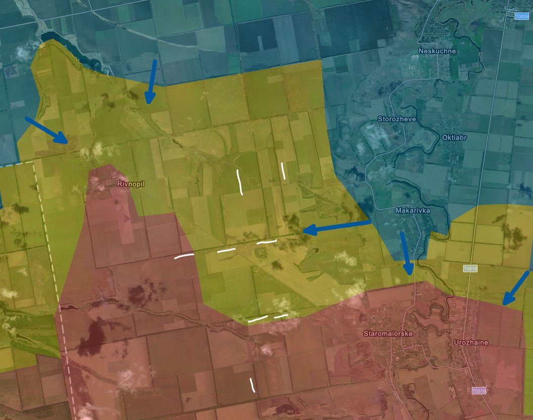
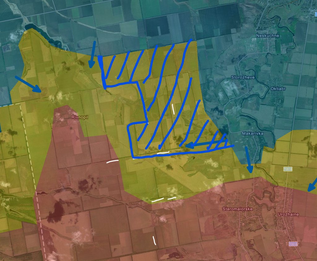
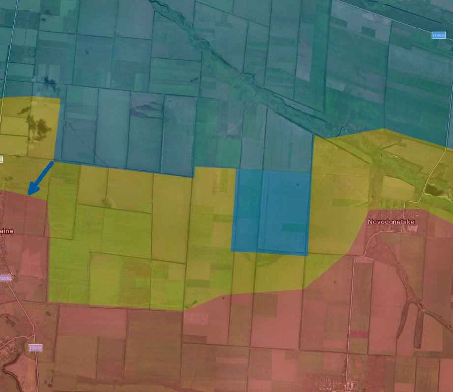
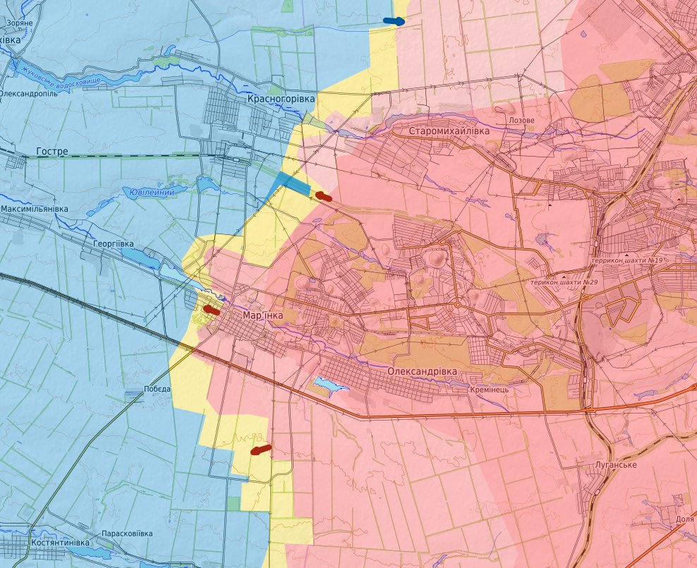
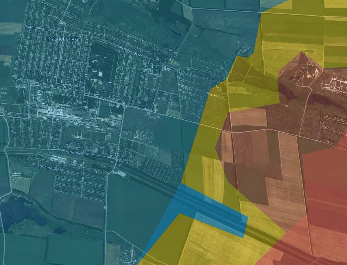
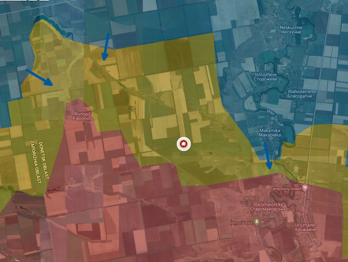
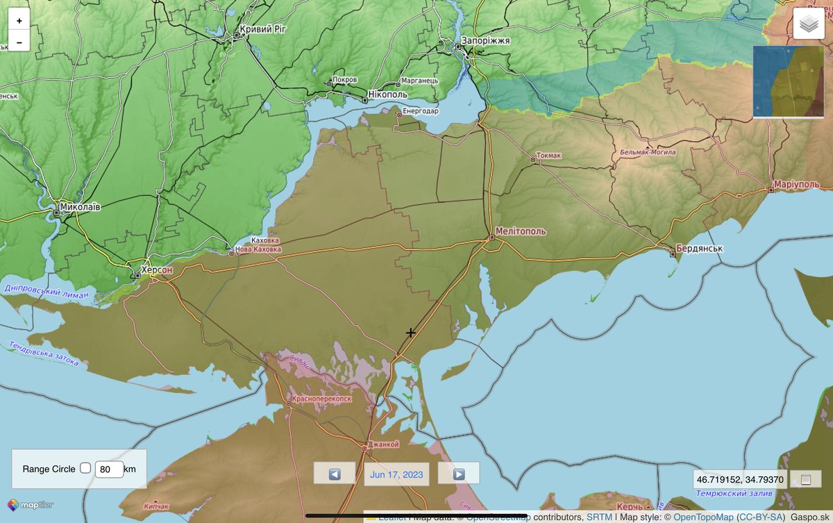
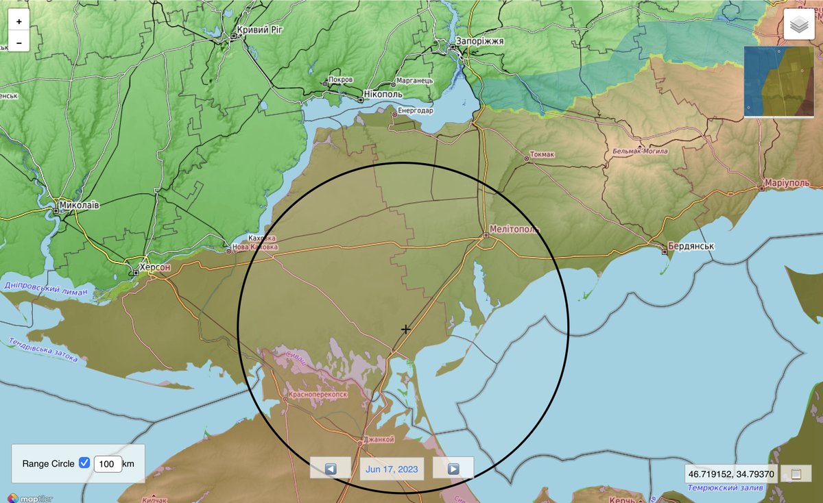
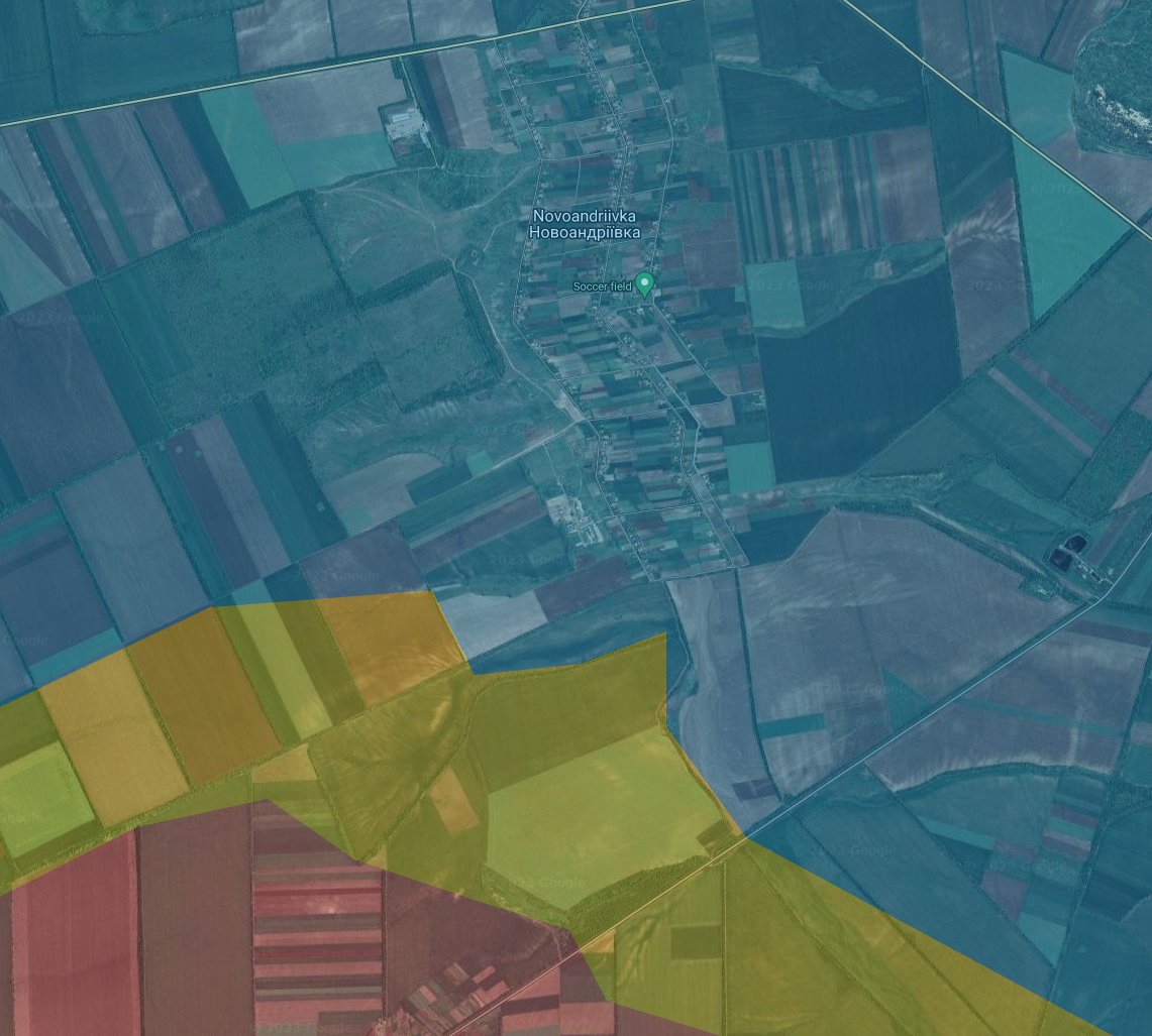
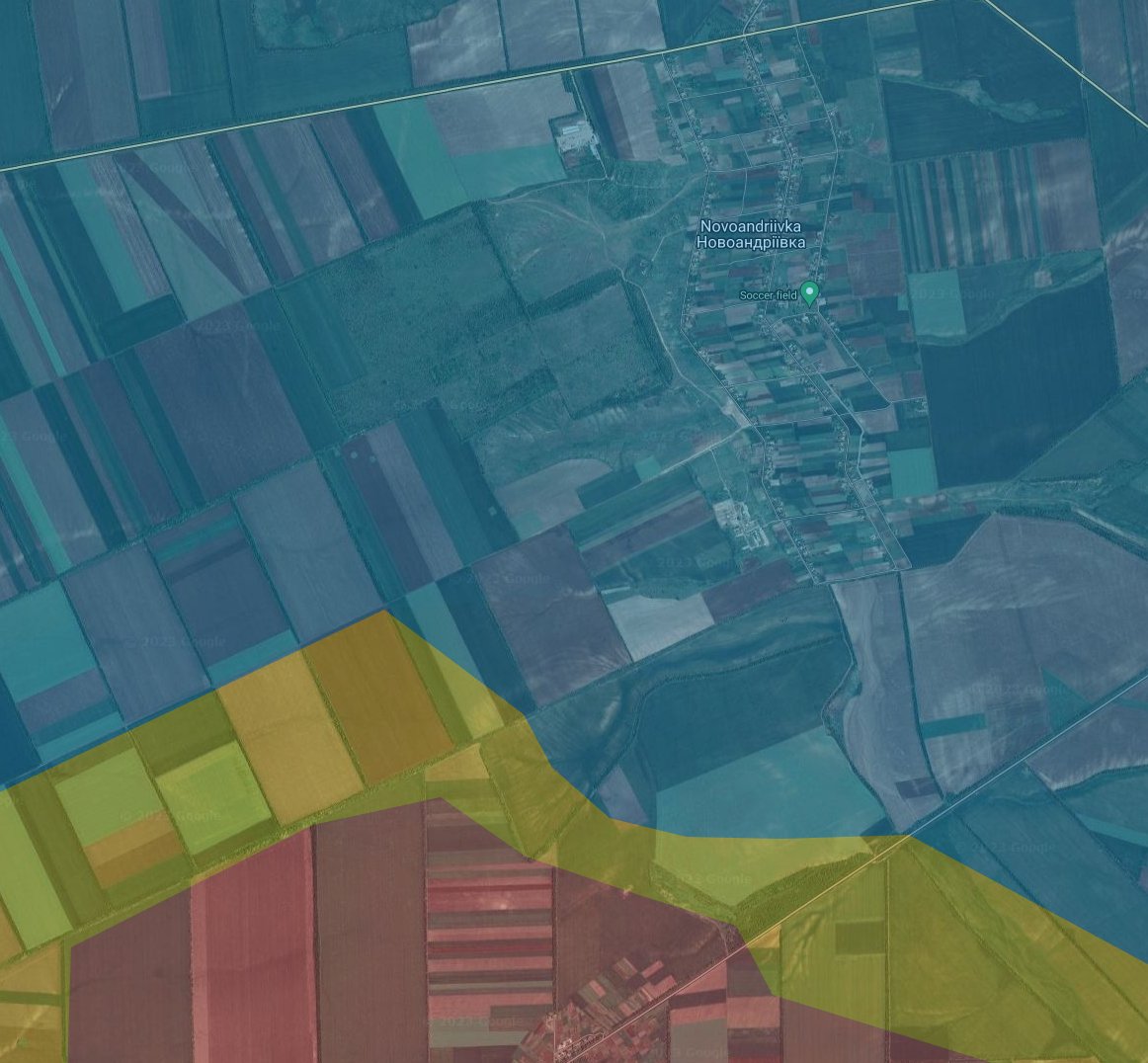
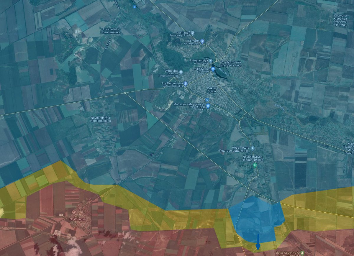
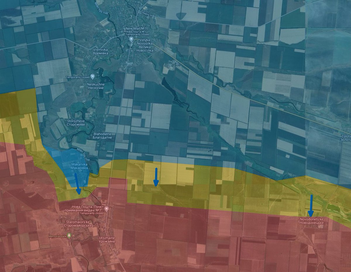
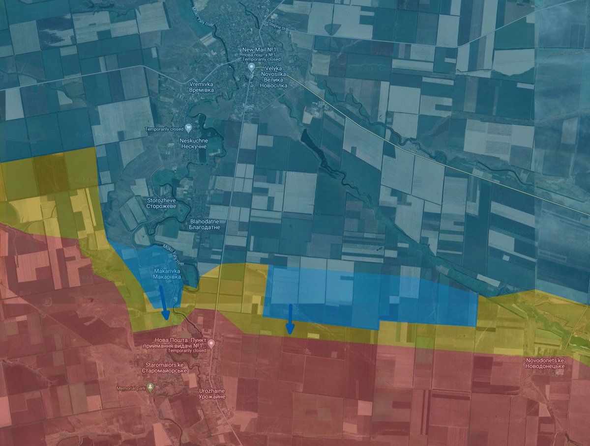
Today I did a bit of a map update thread.
https://twitter.com/AndrewPerpetua/status/1671547191020728321?s=20
• • •
Missing some Tweet in this thread? You can try to
force a refresh