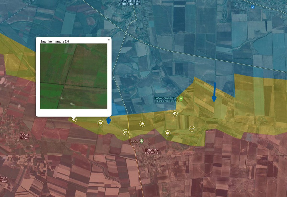
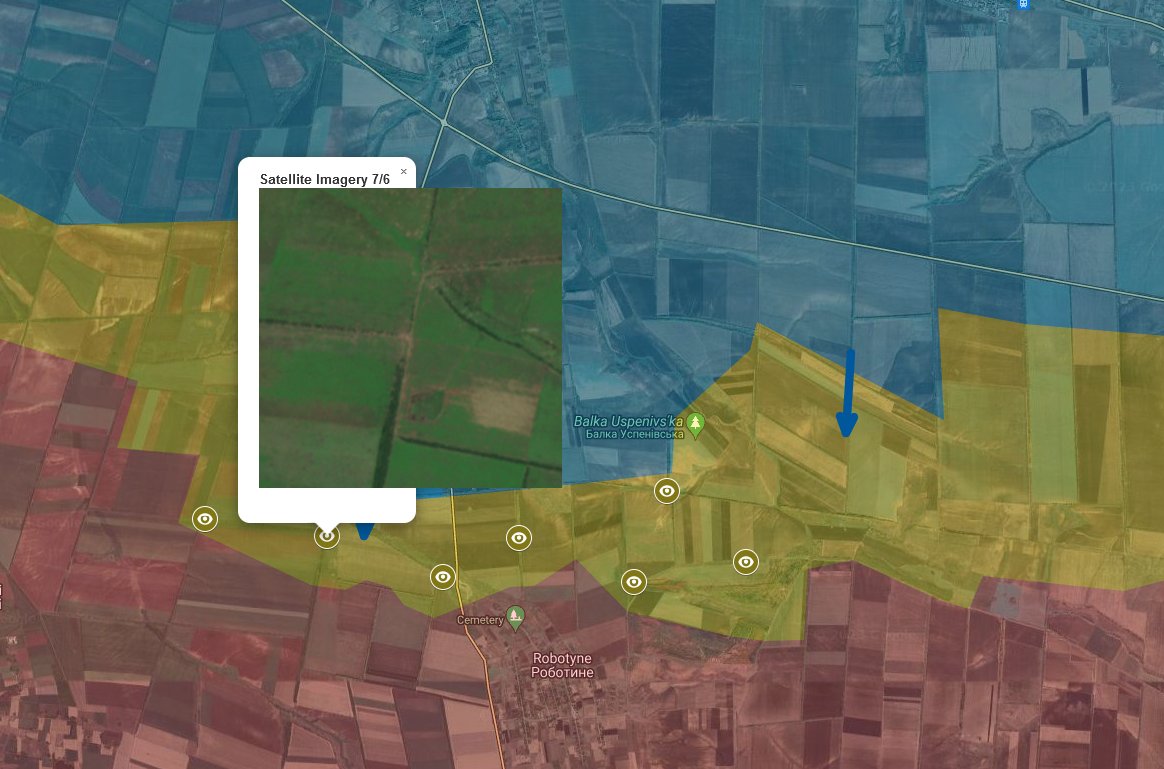
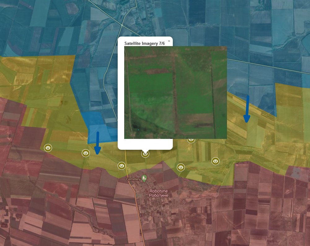
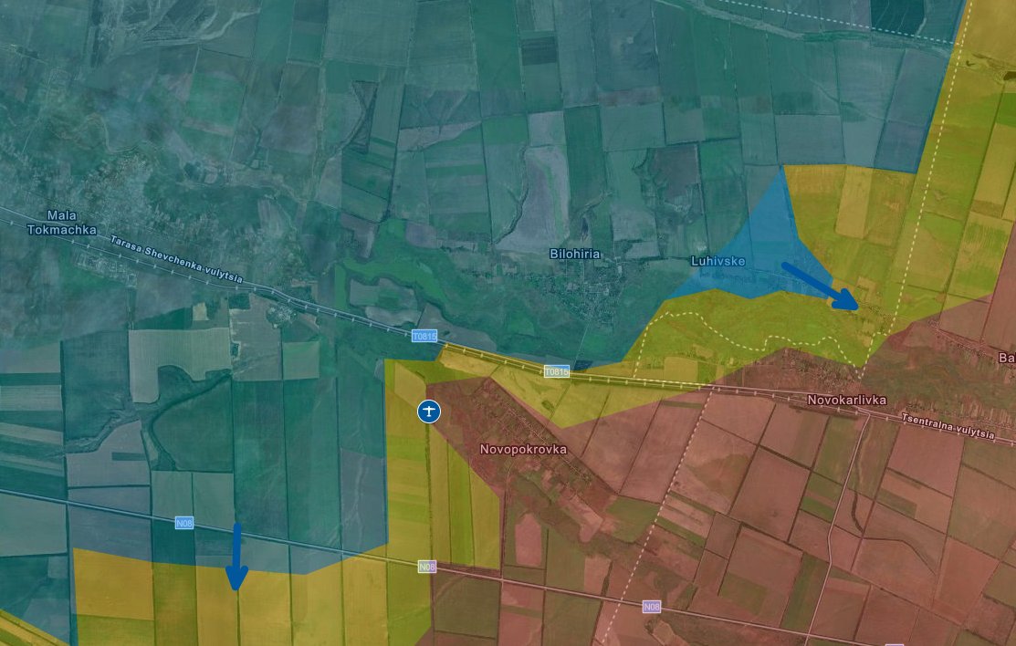
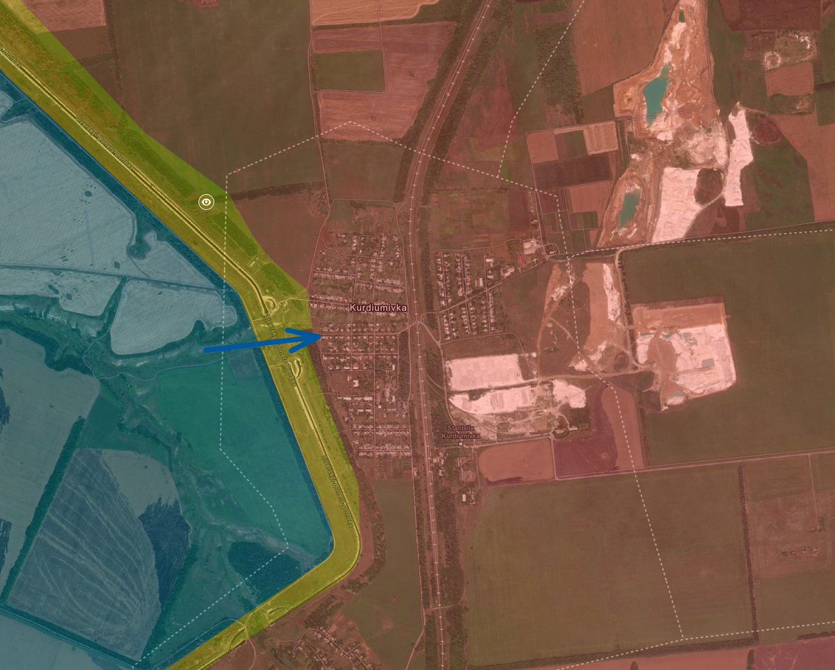
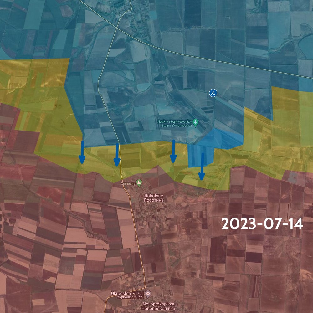
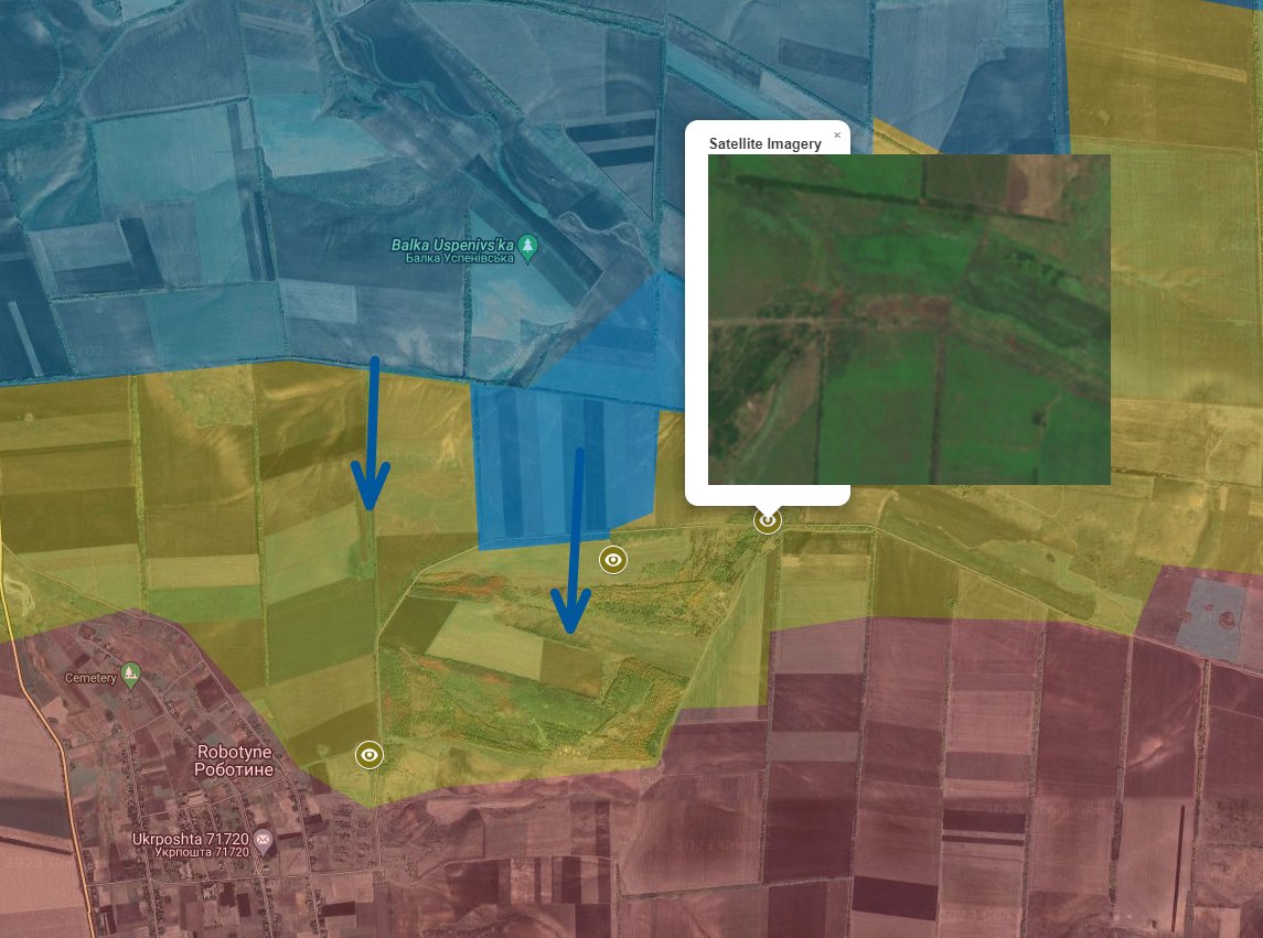
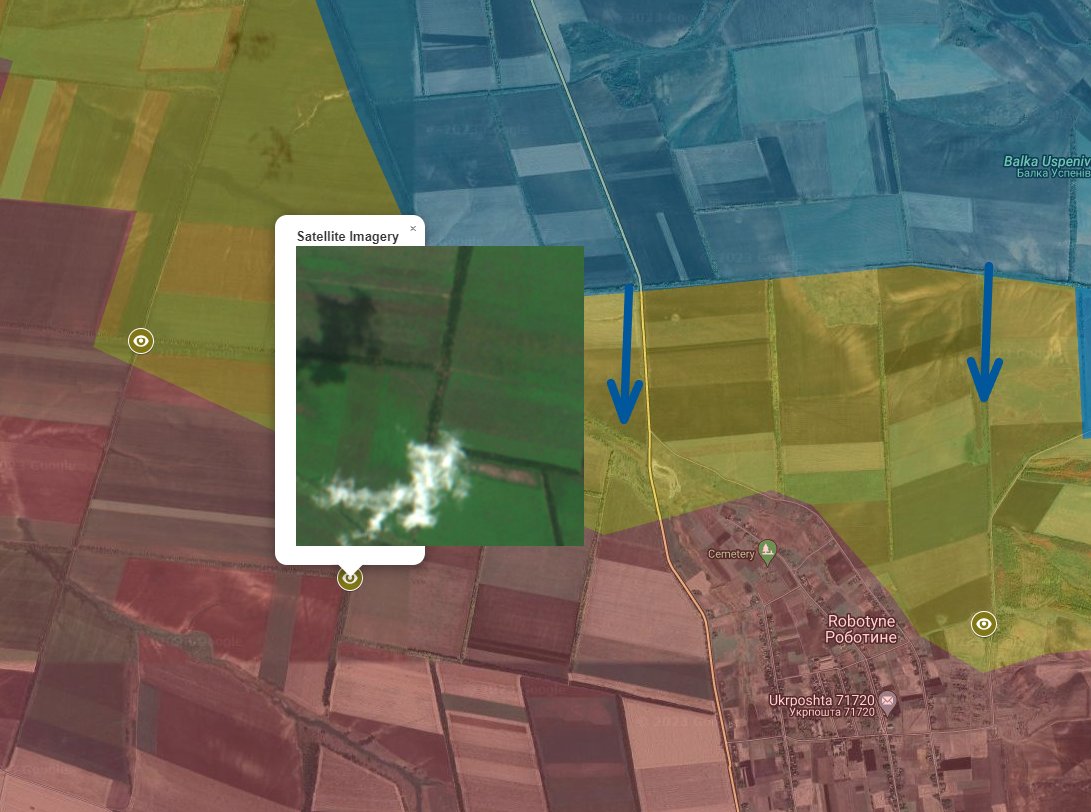
There are obvious signs of fighting getting very close to the eastern side of Robotyne. It very likely means Ukraine is in these positions, but not necessarily. So I mark it as a gray zone.
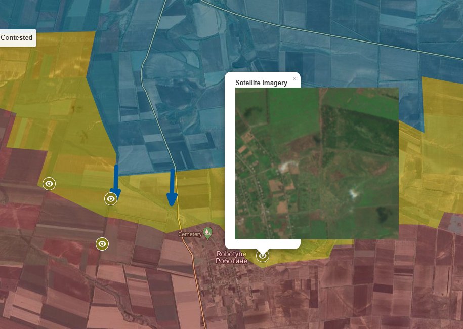
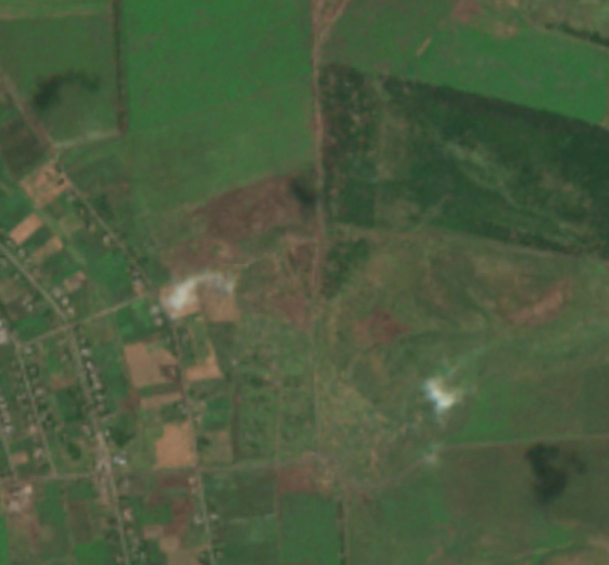
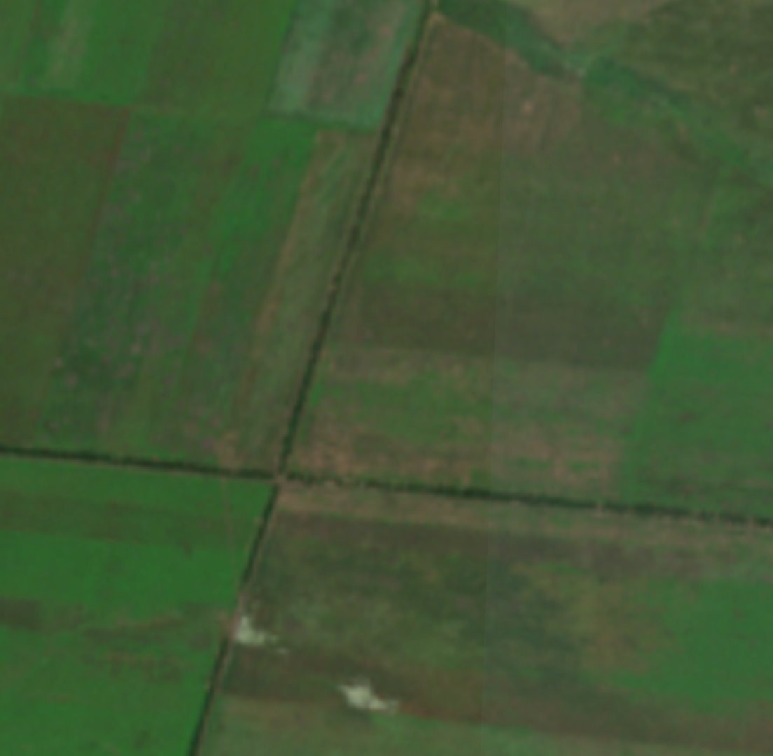
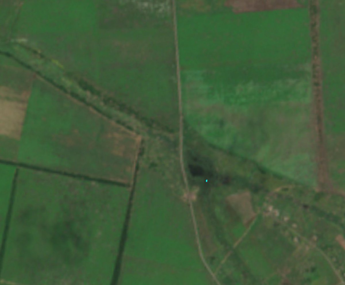
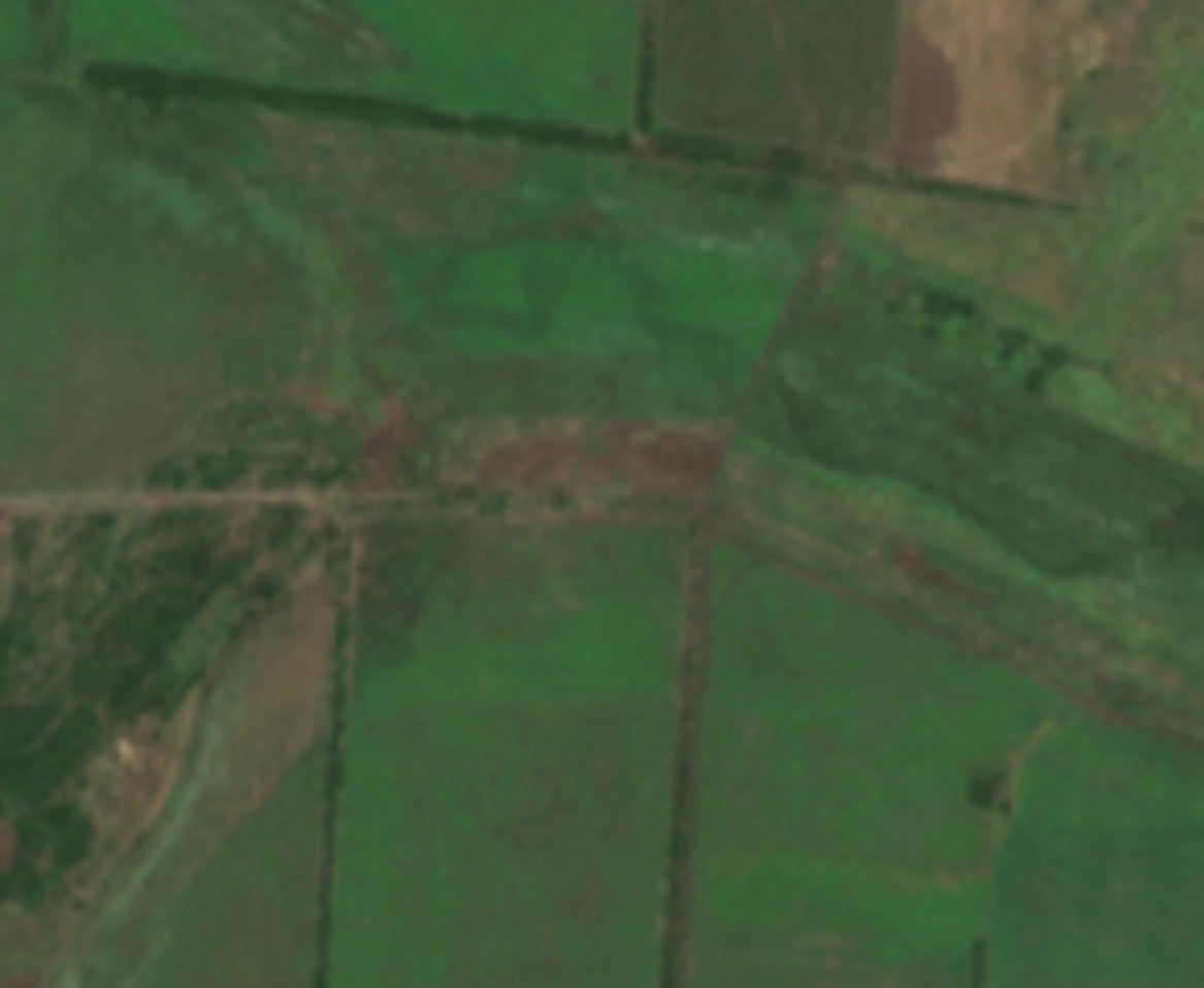
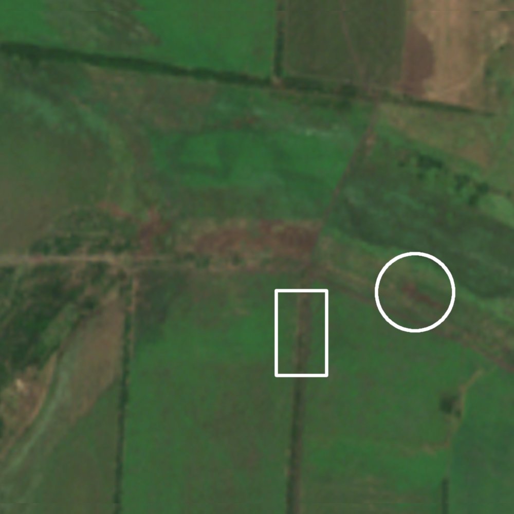
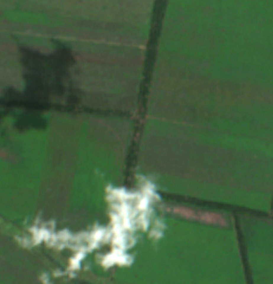
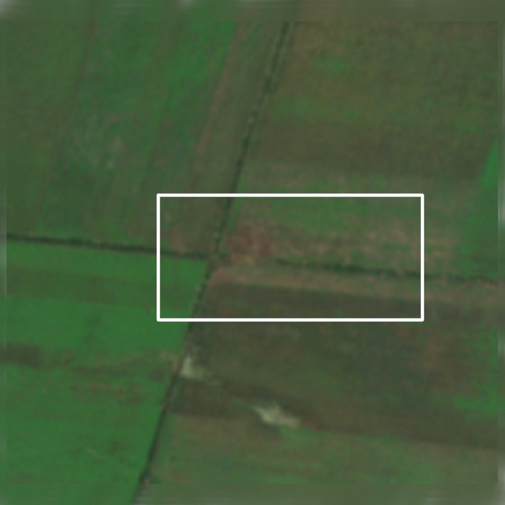
Northeast of Robotyne there are signs of fighting near this intersection, but the intensity and extent is less than expected. You'd imagine if Ukraine is so close to Robotyne, they'd be further south on this flank.
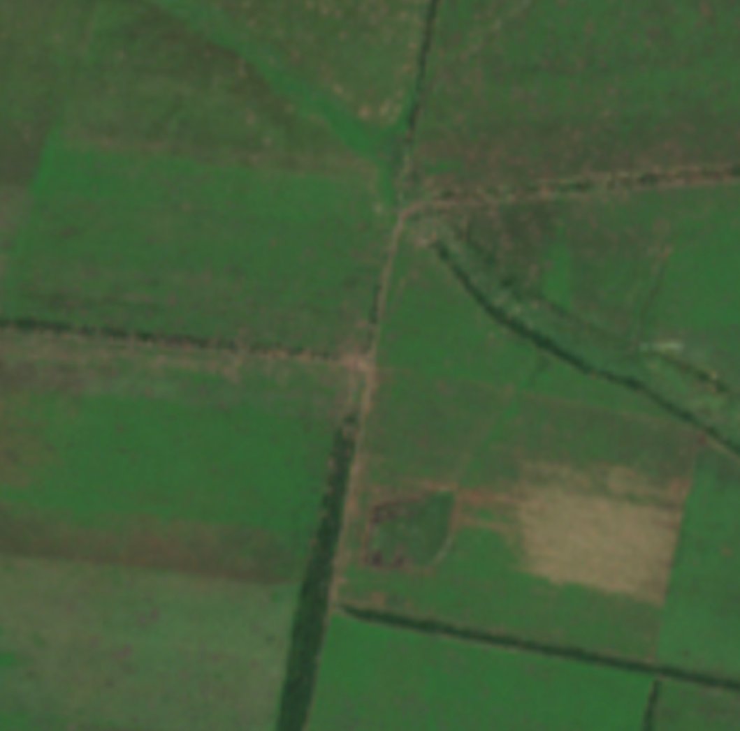
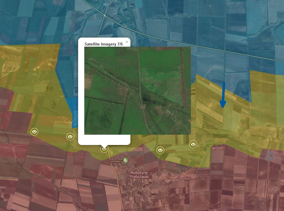
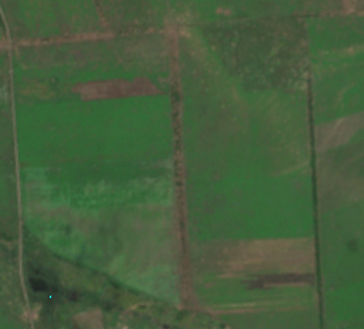
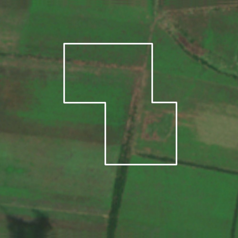
To the west of Robotyne there are also some serious signs of fighting, including perhaps some signs that Ukraine is further south than expected.
Continued
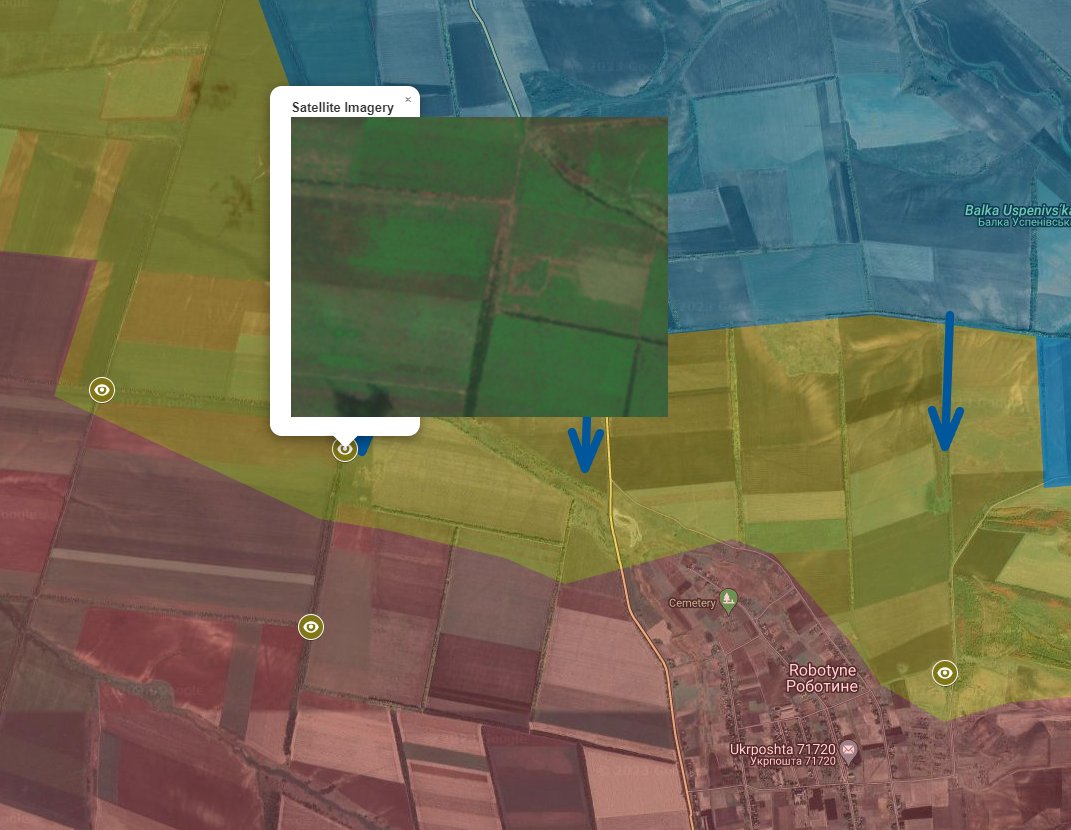
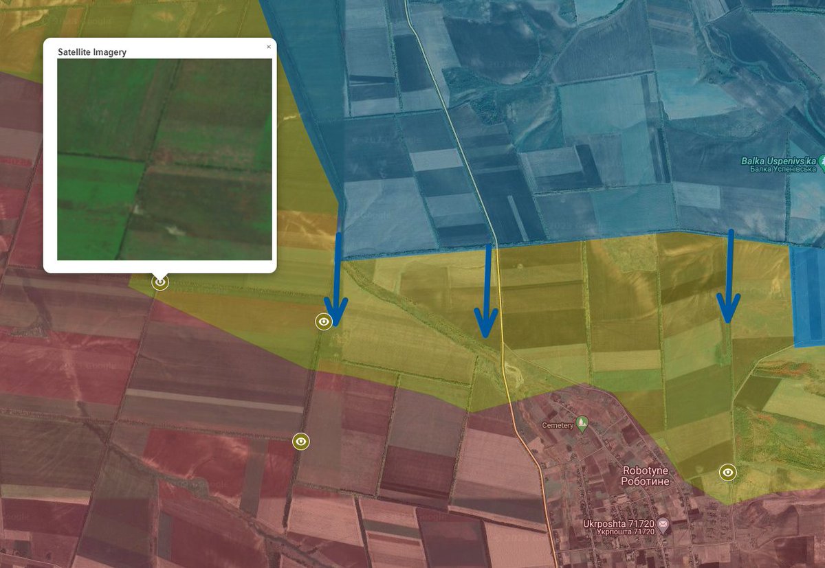
So, in short, Combat has clearly moved south. It is difficult to tell how much Ukraine controls and how much remains contested.
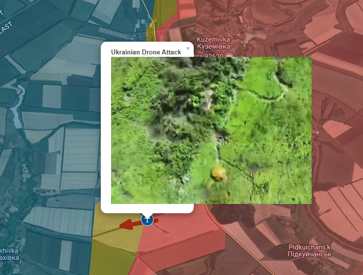
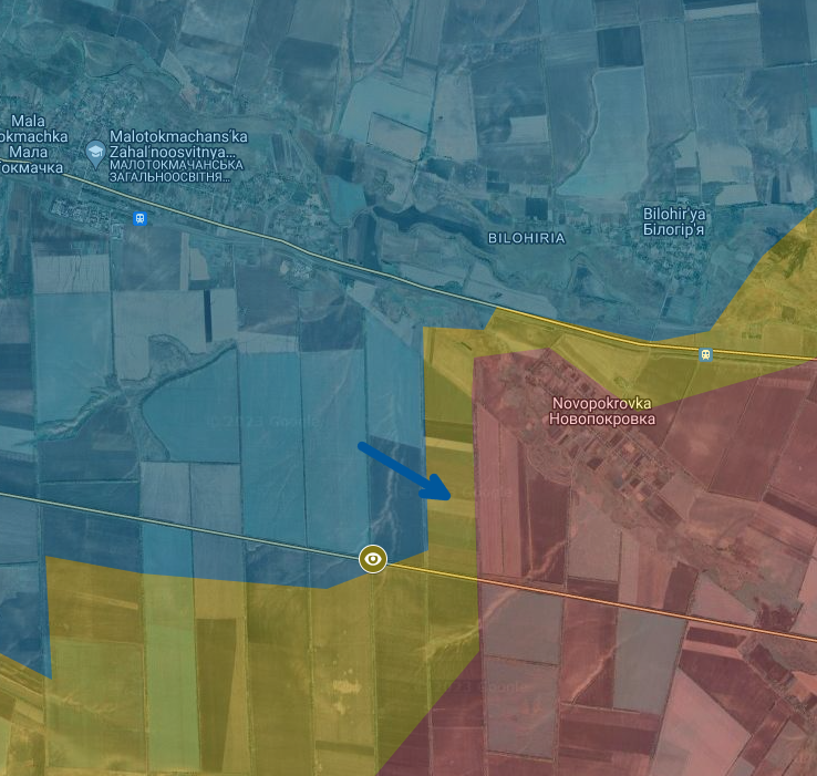
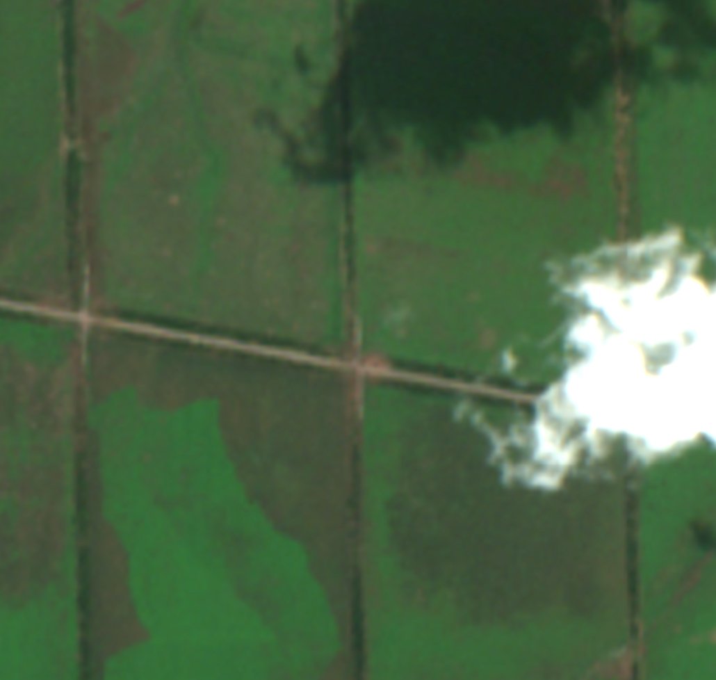
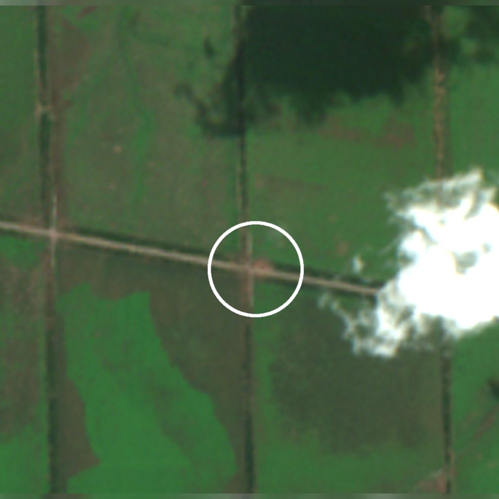
Near Novopokrovka there are signs of large explosions. Perhaps miclic, perhaps airstrikes.
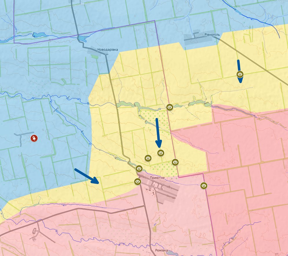
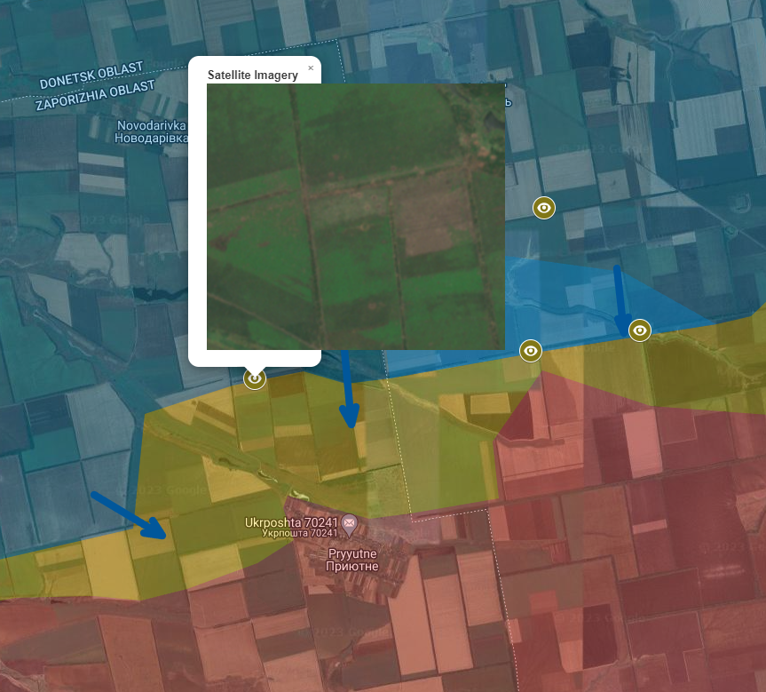
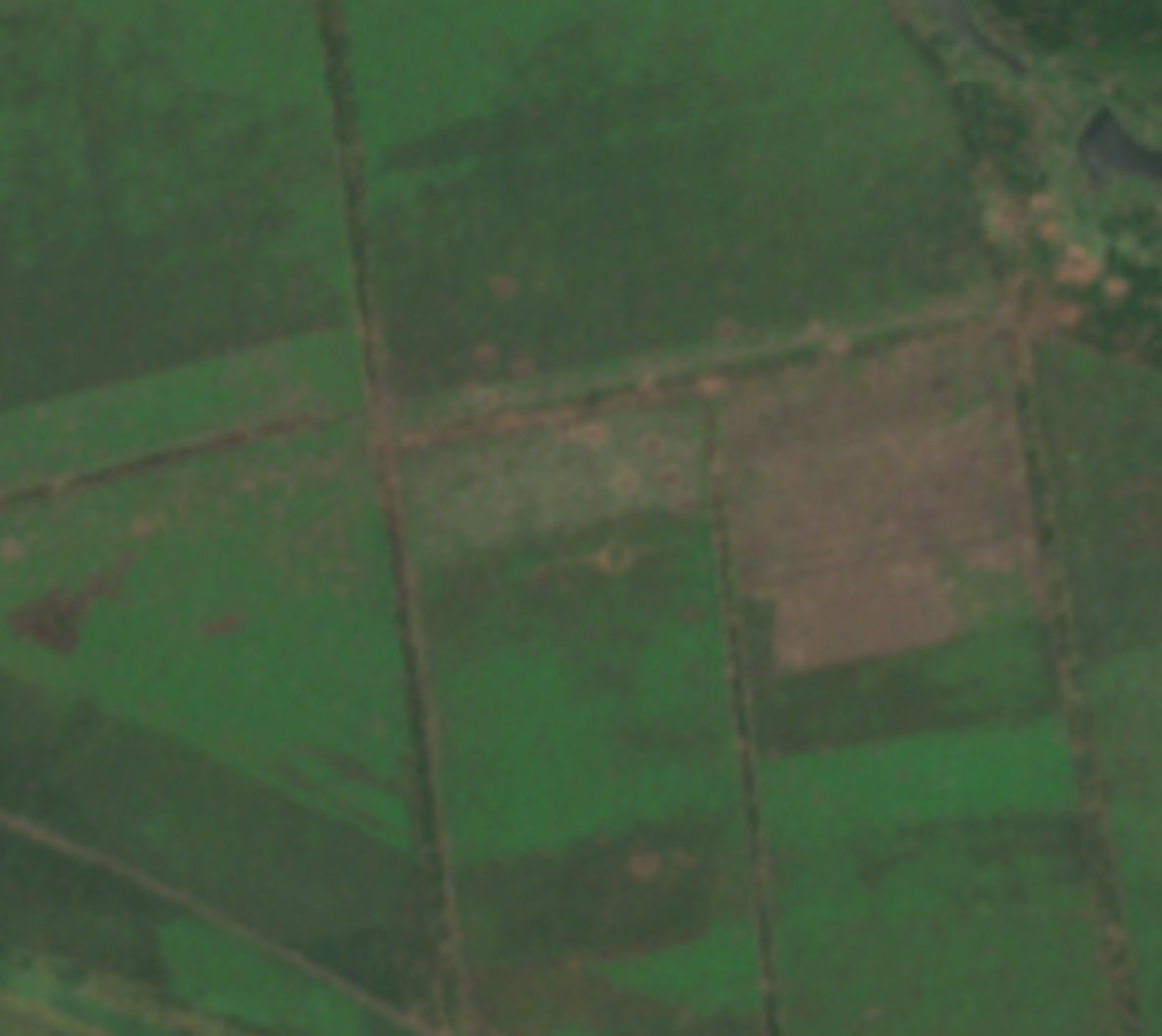
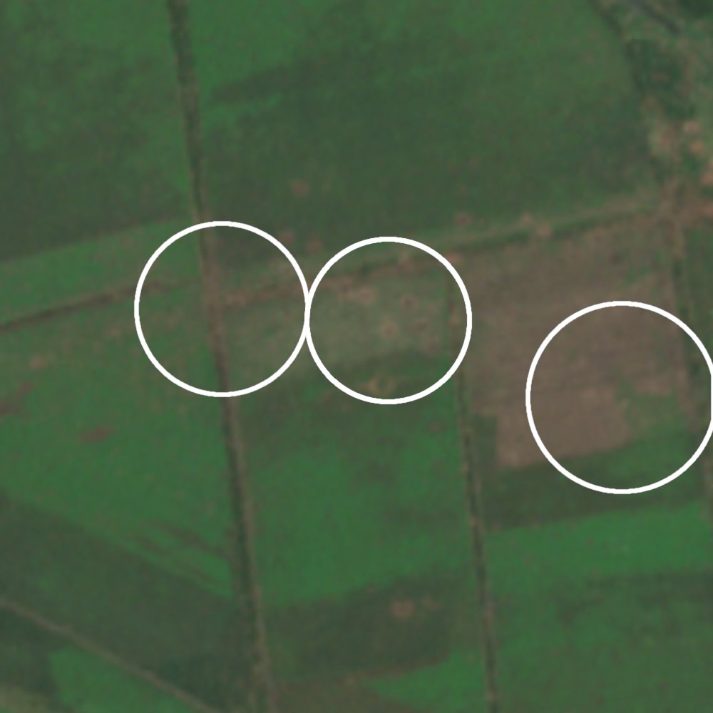
Near Pryutne there is continued heavy shelling north of the town.
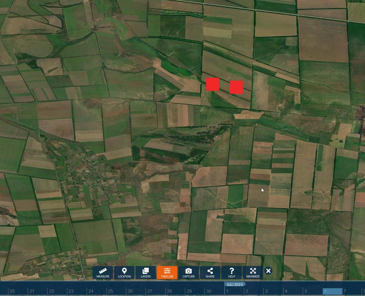
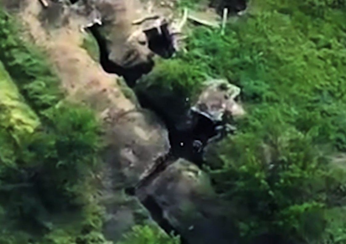
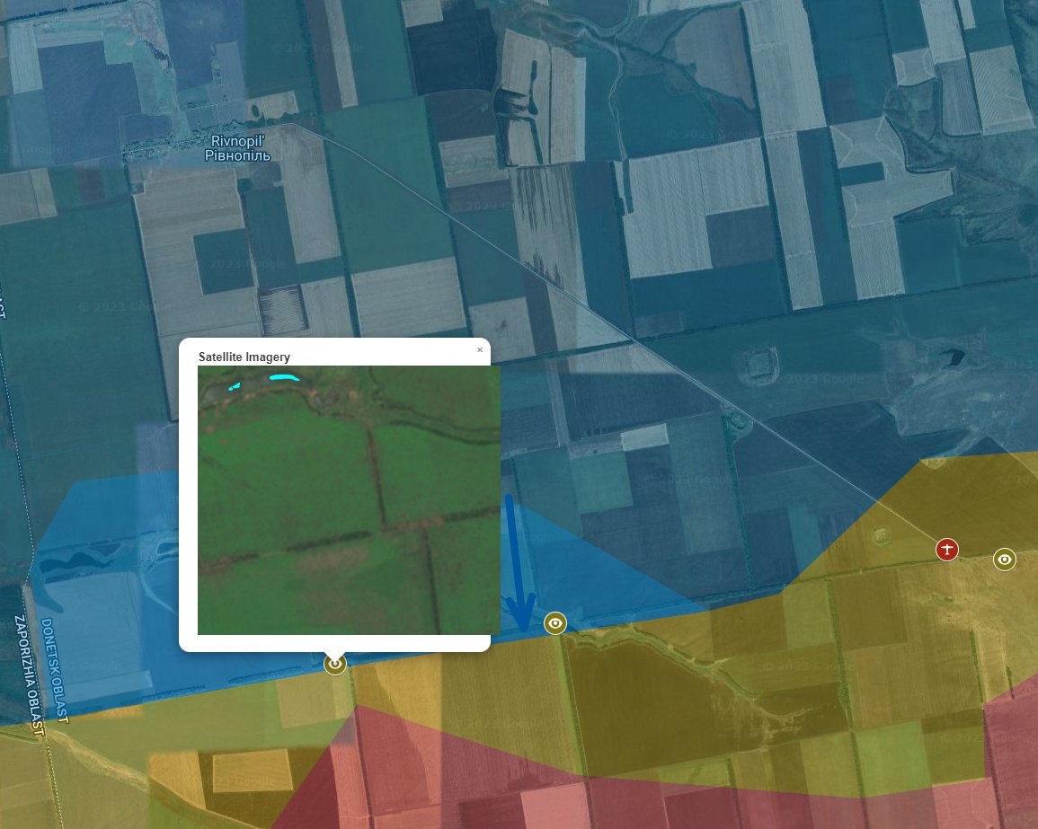
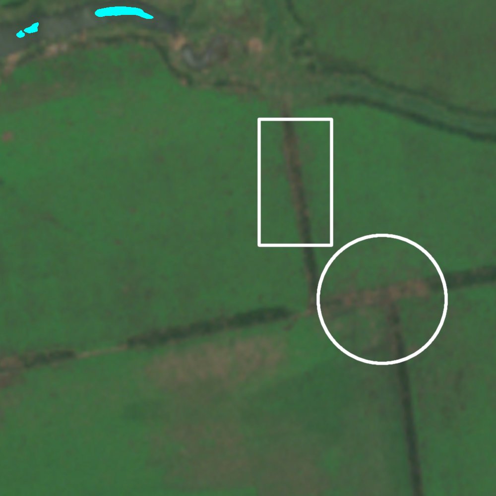
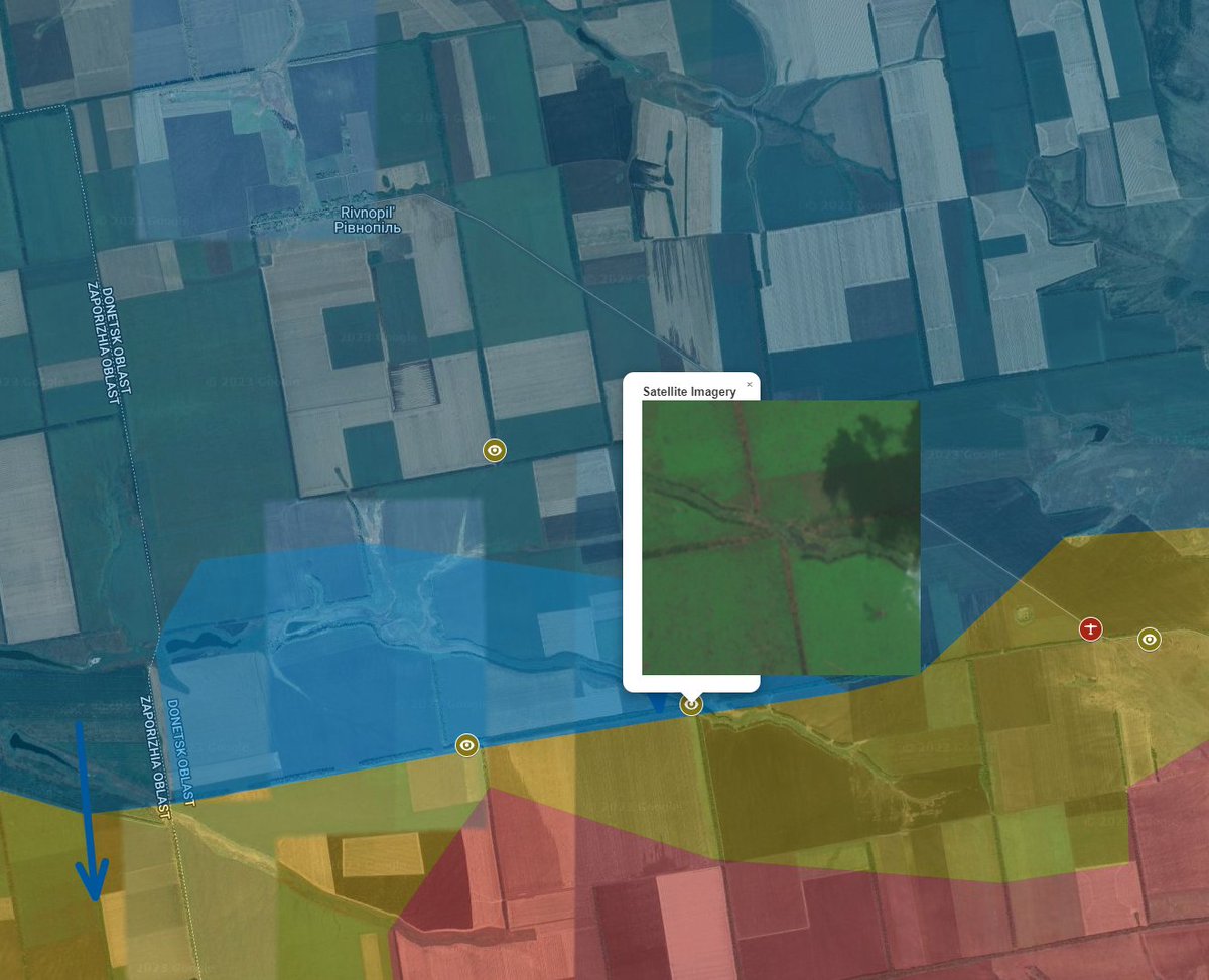
South of Rivnopil, shelling has gone on for so long in these two intersections, with such a tremendous amount of damage especially in the second, that I believe it is obvious that Ukraine controls these two areas.
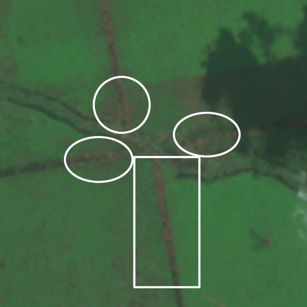
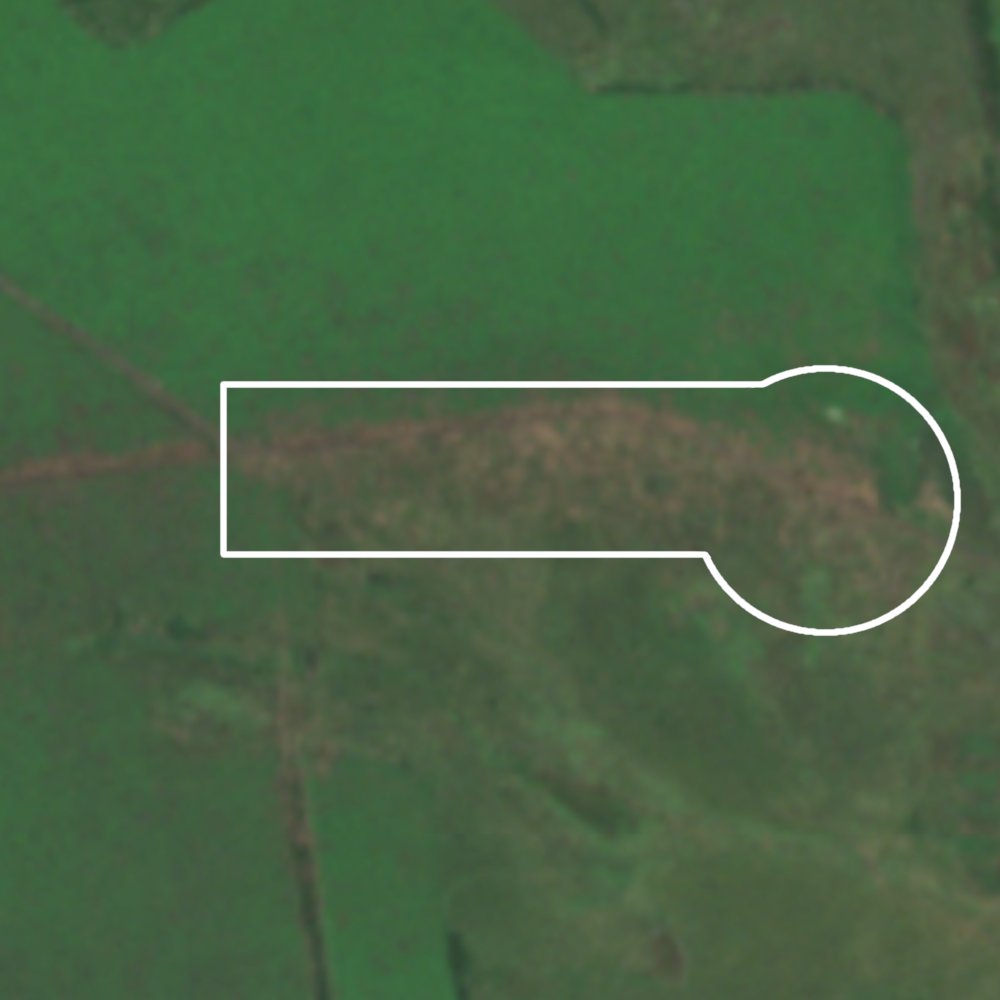
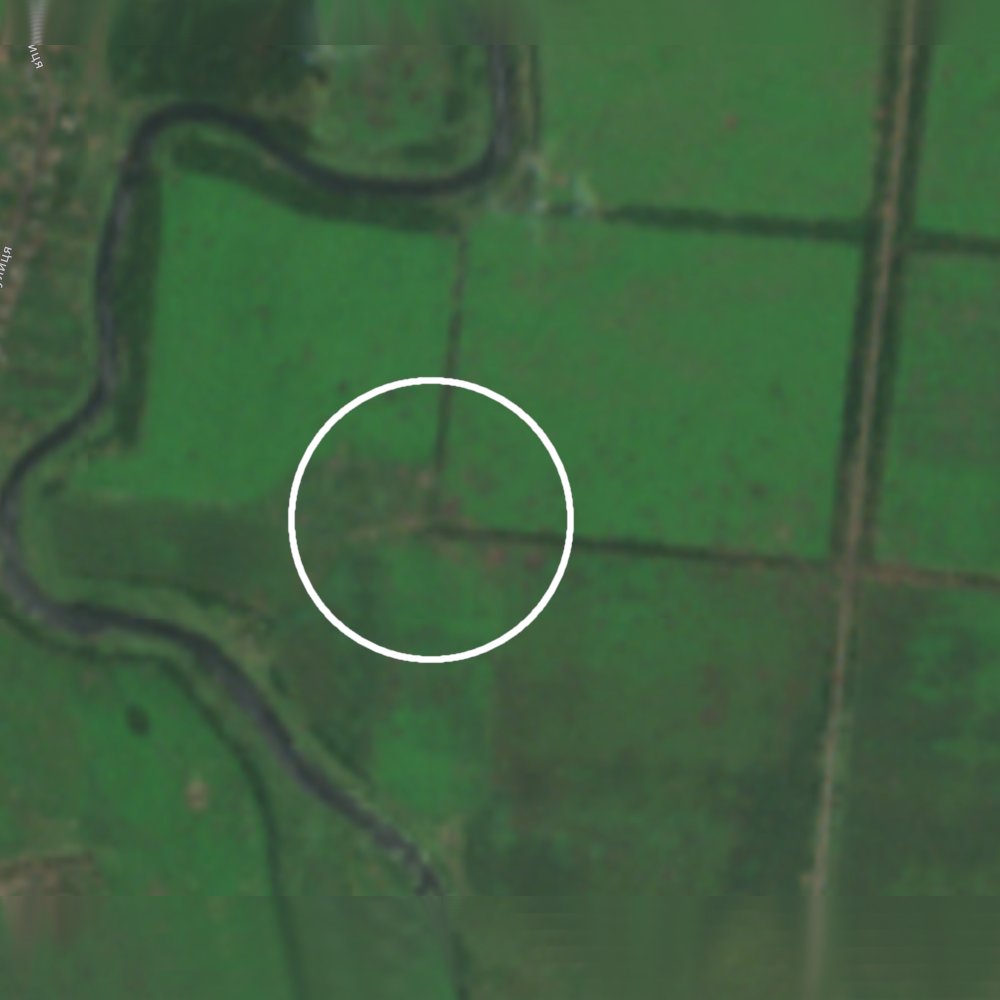
Northwest of Staromaiorske there is an impressively large amount of shelling. To the northeast of Staromaiorske there is also shelling.
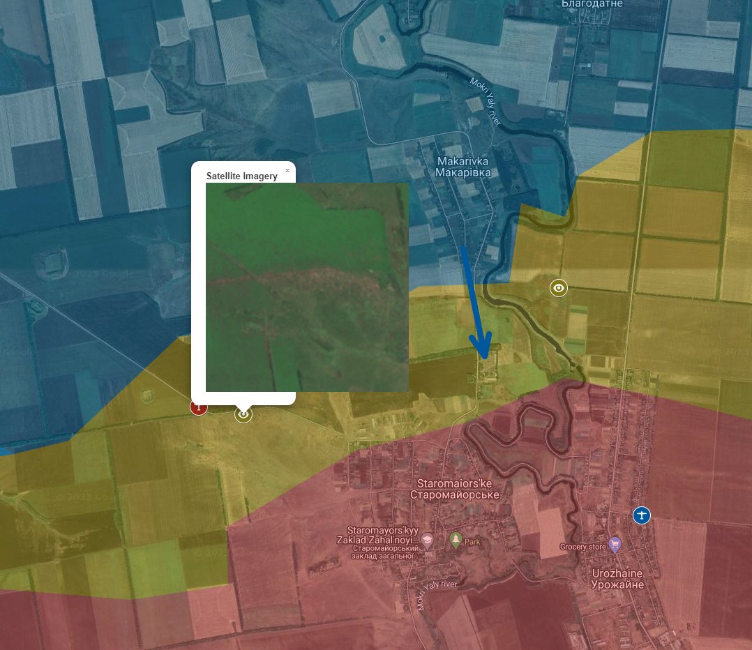
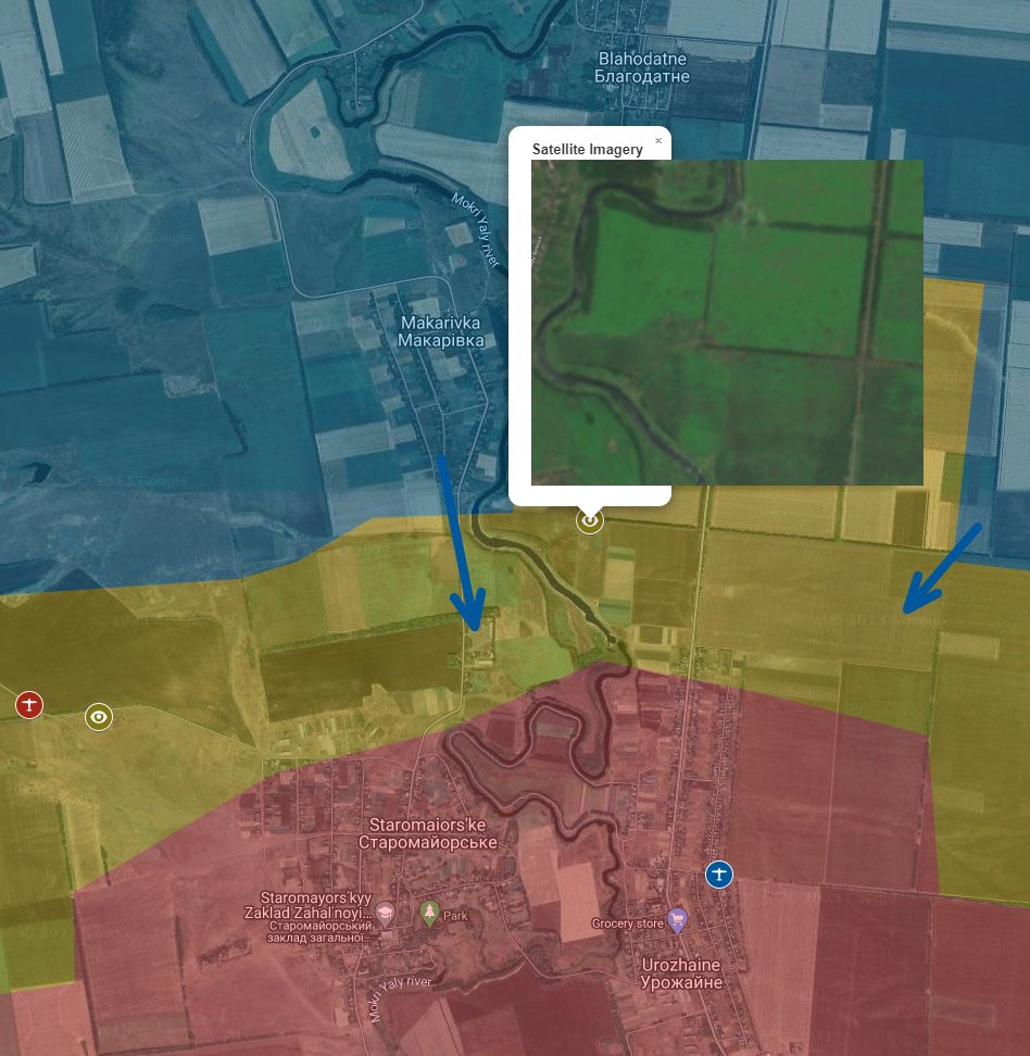
I think there is enough evidence to change the map in this area, but I chickened out.
• • •
Missing some Tweet in this thread? You can try to
force a refresh
This video could not have happened before July 5th, but it looks prior to July 10th. So it must have happened July 5, 6, 8, 9. Ukraine’s attack on Robotyne could not have happened prior to the 7th and must be before the 12th. So 7th, 8th, 9th, 10th. There is some overlap, but...
Firms reported a fire in this location (the results of which you see in the video clearly, and which conclusively date this video to occurring after the 5th)
I want to repeat, for the record, that the 47th had vastly more success than the Russians were willing to admit, that they had pushed very far south and were engaging in and around Robotyne very rapidly as proven by ENORMOUS AMOUNTS OF VIDEO EVIDENCE and SATELLITE IMAGERY
The narrative that the brigade is a complete failure is RUSSIAN PROPAGANDA. Not even good propaganda because it was ALMOST INSTANTLY DEBUNKED BY OBJECTIVE FACTS.
They posted the same goddamn video every day for weeks AND PEOPLE FELL FOR IT. When the facts came out proving the narrative was false PEOPLE REJECTED THE FACTS AND CLUNG TO THE NARRATIVE.
It is funny because I was mostly done updating my map today at like 6am but didn't actually finish until 9pm. But it is updated. There are a few things to talk about. Kinda tired to get into too much detail so consider this bullet points. map.ukrdailyupdate.com
1: I saw a rather concerning video today which is actually posted two days ago (likely filmed days before release) of Ukrainian artillery hitting Russian positions in Torske, a town halfway between Kreminna and Lyman.
https://t.co/6Uk2sJrrV3map.ukrdailyupdate.com/?lat=49.026613…
2: Likely as a result of Ukrainian troop rotations, Russia went on the attack and has taken ground around Novoselivske. There is a video of a Ukrainian drone attack between Kuzemivka and Stelmakhivka. https://t.co/AWTa0v67Exmap.ukrdailyupdate.com/?lat=49.506596…
Just posted my midday "I need to take a break" map update. Here is a thread describing some of the things.
Near Robotyne there are signs of fighting along all the eyeballs. Northeast of these western points we had a video of Ukrainian forces driving southwest seemingly unalarmed suggesting these southwest eyeballs are likely the front line.
Closer to Robotyne it is unknown to me how far south Ukraine has moved and how much remains a gray zone. They could only be a few hundred meters from the town, which is signifncantly further south than i depict.
I predict this map change will be upsetting to people on telegram tomorrow so here is a tweet those people wont read. Ukraine released a video attacking a Russian position in this trench which in a location I thought was a gray area.
People are gonna be like "Russia advanced!" I dunno, maybe? More likely I was just wrong, and this is a correction. So there you go.
Also I made this update really late in the night and its probably stuck in cache so I have no idea if you will be able to see it right now, it might take some time for the cache to figure itself out.
It is difficult to update the map around the Pryiutne area. This super heavy shelling I believe is from Russians, but there are areas with no apparent signs of combat which I believe is likely held by Russians as well. So I have it as this shape I guess.
On the map you can click the eyeballs to see the images.
Kurdyumivka, it appears there is fighting in the forests but it looks like the town is still in Russian control. Or at least I don't see evidence to the contrary.
https://t.co/fsq1m0NMVumap.ukrdailyupdate.com/?lat=48.472579…