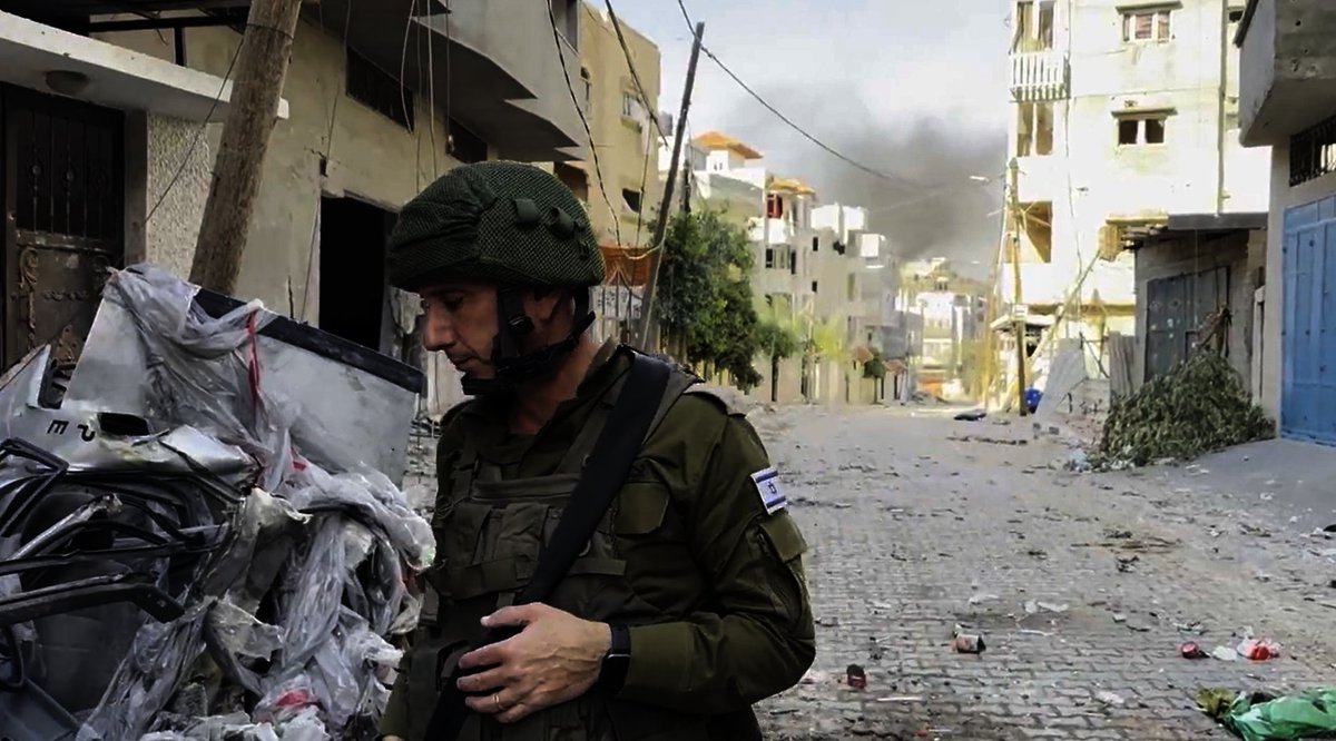
🧵A very brief OSINT methods thread to share how I found the location of a Burmese junta camp that was captured by the resistance today, it's a method I've used a lot for more obscure unnamed places that would be nearly impossible to find otherwise.


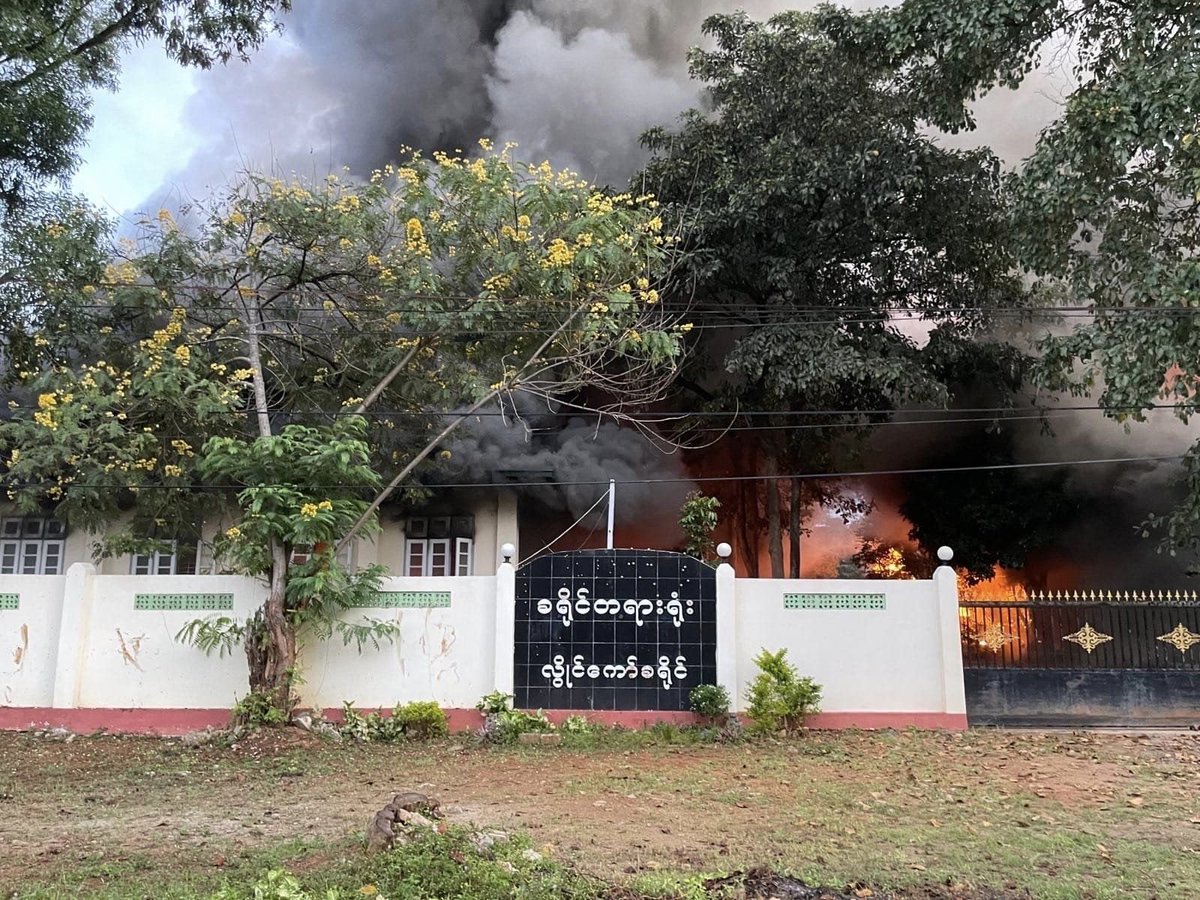
Today news came out from a reputable local media source of a junta camp that was captured in Southern Myanmar, normally news in Burma is reported with the name of a nearby village or at least the township. But not here, only that it was in the KNLA's 4th Brigade 11th Battalion.

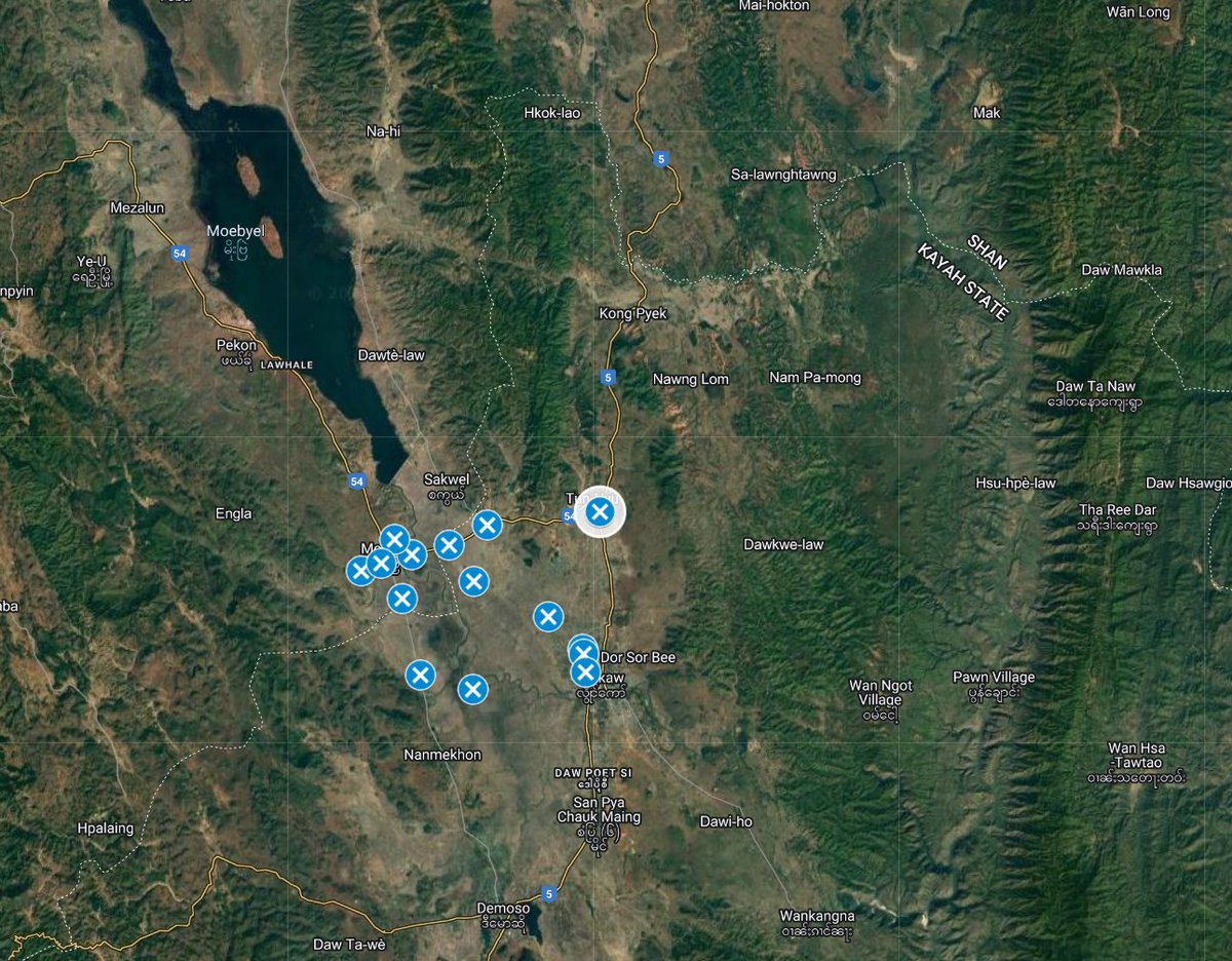
The KNLA's 4th Brigade operates in Tanintharyi Region, and google searching for info about the 11th battalion shows it is mainly active in Bokpyin township
But of course, finding one tower with a loose lead of maybe a township is going to be tricky.bnionline.net/en/news/killin…
But of course, finding one tower with a loose lead of maybe a township is going to be tricky.bnionline.net/en/news/killin…
After finding the facebook page of one of the resistance units involved in the attack, you can see that they put out a battle report of the attack (which is standard), where the base is named the Hill 1020 Outpost. This is where a little trick comes in very handy.

Often, when there is a battle or an outpost in an otherwise unnamed and unnotable area, it is often named after the spot height listed on the hill on old topographic maps. This has been the case in most wars since the Korean War, including in Burma.

In Myanmar it can be tricky, because depending on the topographic map it can either be in meters or feet. I generally assume meters. And for this purpose I have written a Google Earth Engine script where you can specify the target spot height and see that 'contour' band mapped.

(for anyone who wants to copy my work, here is a link to the code, but you need to activate Earth Engine on your Google Account first
)code.earthengine.google.com/6611674e42b620…
)code.earthengine.google.com/6611674e42b620…
To interpret these maps, you want to ignore the donut bands (since spot heights are generally put at the tops of peaks) and instead focus on where the terrain only just pokes into the specified height and looks like a small dot - some indicated with blue arrow here.

In this case, after loading the code in, an elevation of 1020m seems too high for the Bokpyin area, though I did first check a few of the most obvious looking peaks in that elevation range in the wider region since I wasnt sure of the township. To no luck.
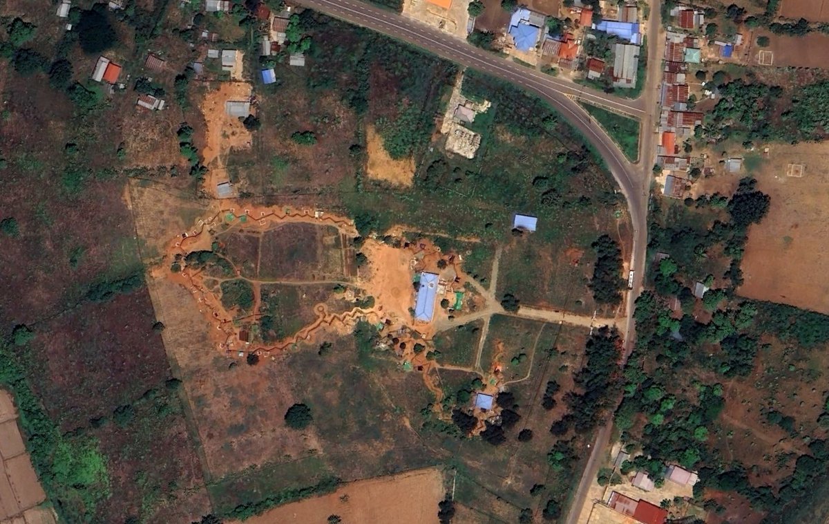
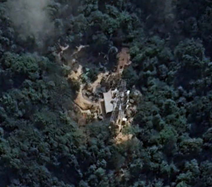
So, I guess the height is in feet. Load in the feet values instead and there are quiet a few interesting places to check. Following the level of infrastructure in the drone picture, i assumed it was near the main highway through the township and started looking around there.

By the way, if you want to follow this method without using Earth Engine code, you can draw a polygon in Google Earth and set the elevation as absolute. That does a similar thing, but due to the curvature of the earth is only suitable for relatively small areas - so narrow down.

Anyway, with feet in mind, i started looking at hills of the right height overlooking or nearby the highway in Bokpyin township - and the 2nd or 3rd I checked had a similar looking tower. But since it's probably a pretty standard design, I wanted to make sure.


Using @planet's NICFI progam (), i have another GEE code that loads in composite planet imagery over time-periods. Comparing this hill from the pre-coup and recent imagery shows that there has been significant clearing consistent with the drone imagery. planet.com/nicfi/


@planet And luckily, for absolute confirmation - beyond what you can often get - Google Earth has recently updated their imagery from that area for the first time since the coup, showing how the hill look in March 2024, and confirming it is exactly the same hill that was captured.

• • •
Missing some Tweet in this thread? You can try to
force a refresh