What does an AI tool teach us about accelerating the urgent shift to cycling? We must stop engaging in bad faith arguments over bike lanes. We won’t—and don’t need to—convince everyone in the comment section. Our precious time and energy are better spent on the bigger picture. 🧵
Rather we should share our vision of a liveable future; sparking a values-based conversation on our aspirations, on which there’s a lot of consensus: on safety, health, greenery, equity, sustainability, prosperity. Once we agree on the destination, we can debate how to get there.
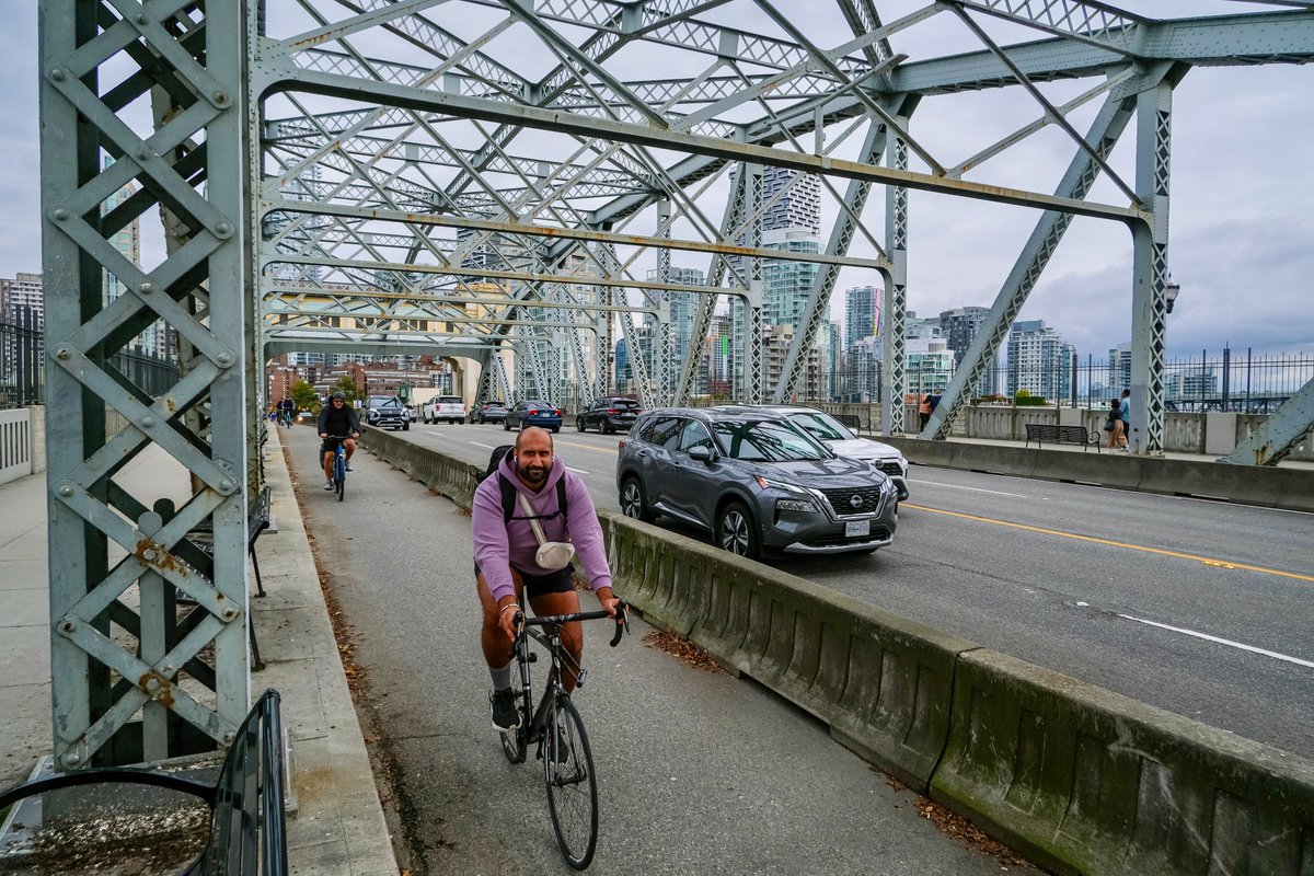
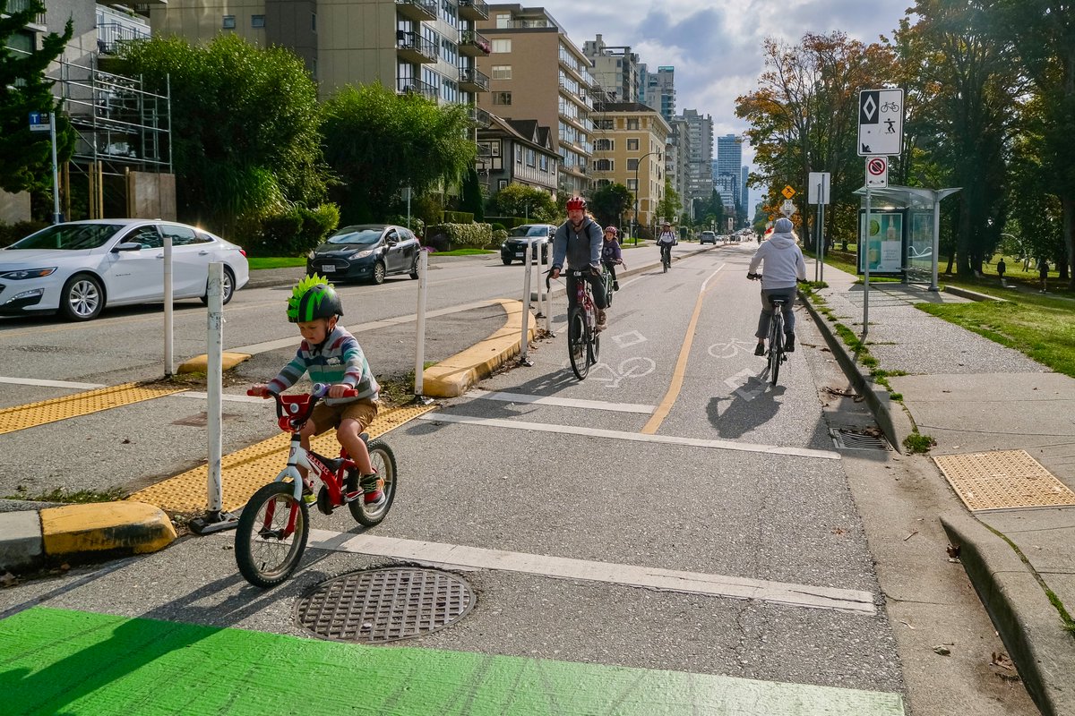
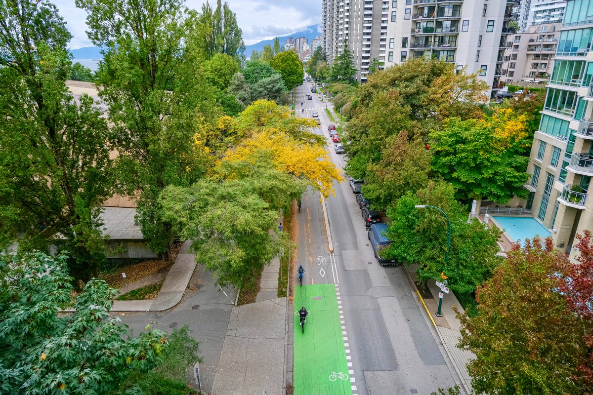
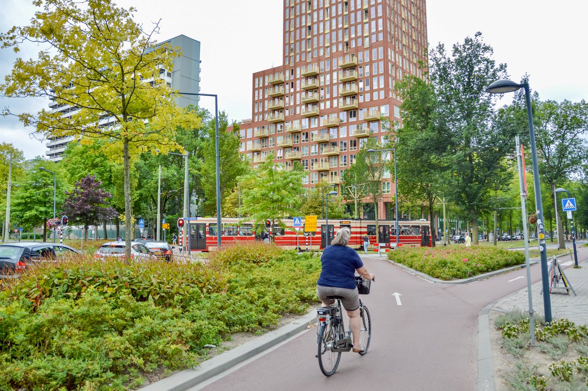
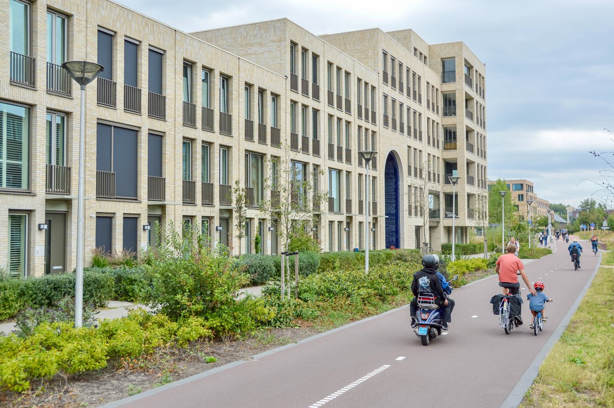
We must expand our movement to bring in those left behind by car dependence. There's a coalition waiting to be formed, especially the young and old, women, and people with disabilities or lower incomes. Many would hop on a bike if it didn’t require dodging cars from door-to-door.
We must rise above the culture war separating us into modes and leading to inaction. There is a latent demand waiting to be activated and numbers that will support politicians willing to change the status quo. Our mission is to ensure this silent majority is heard loud and clear.
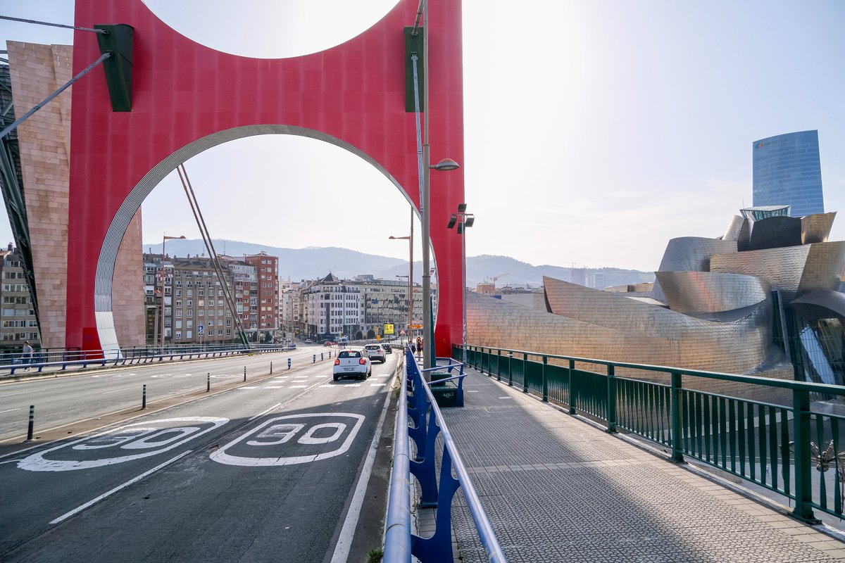
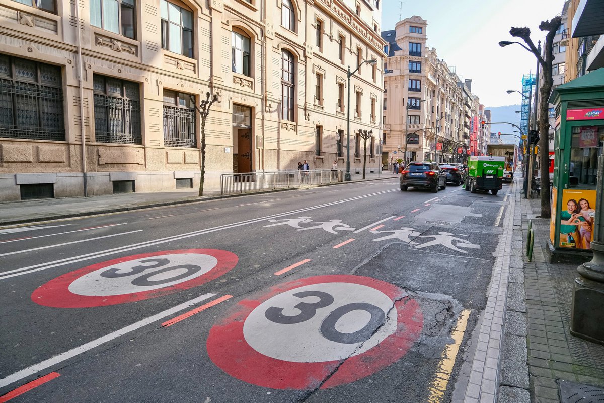
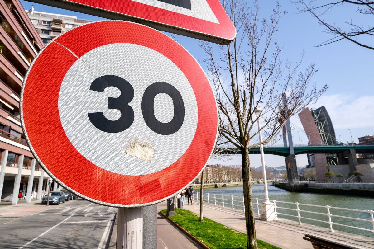
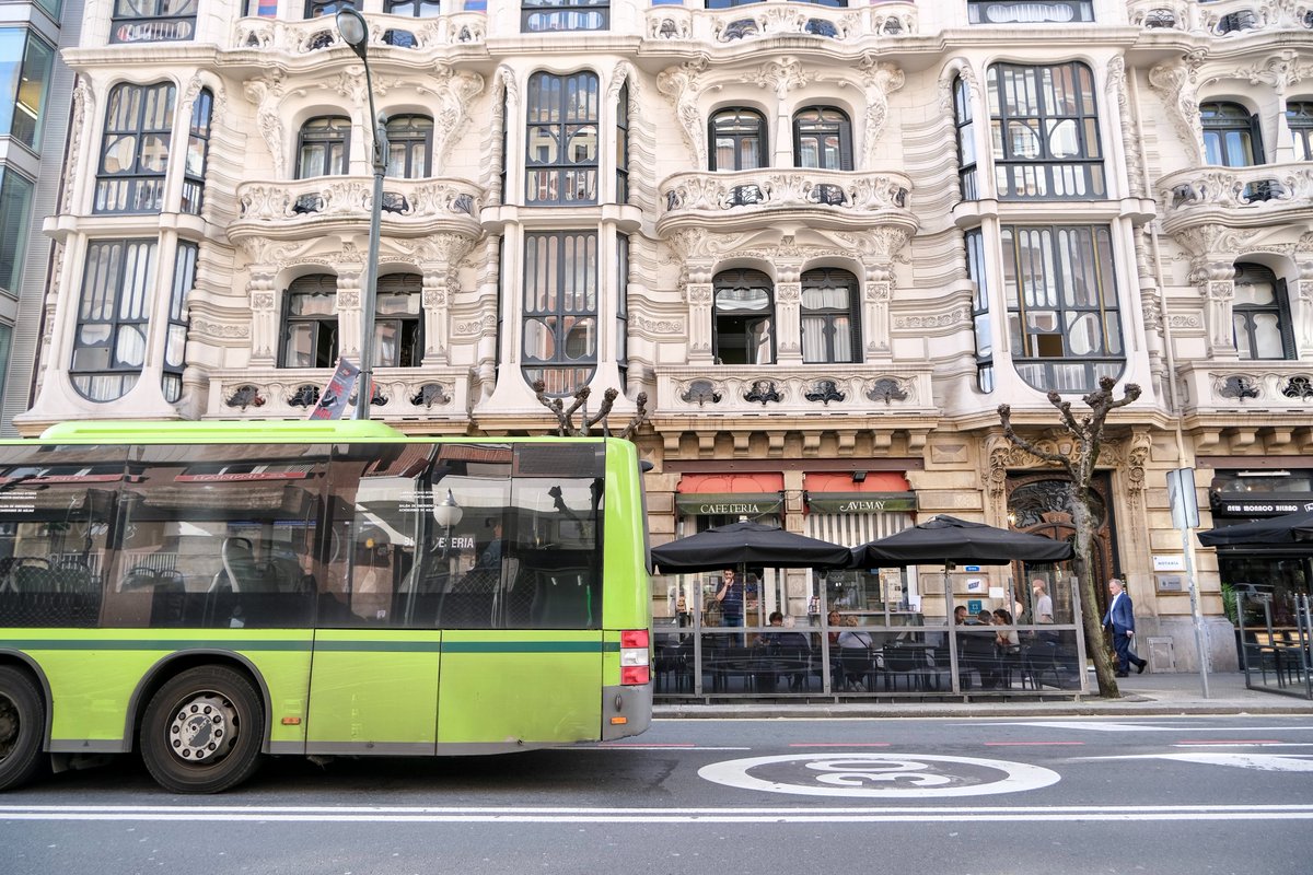
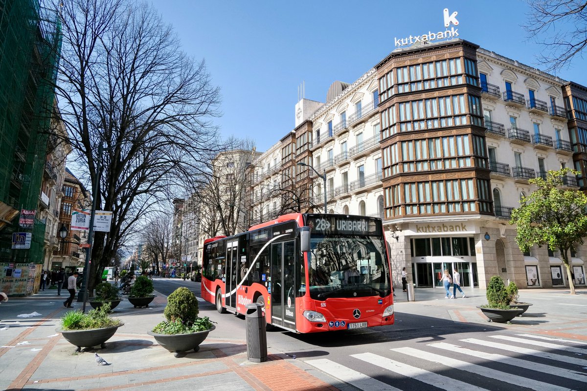
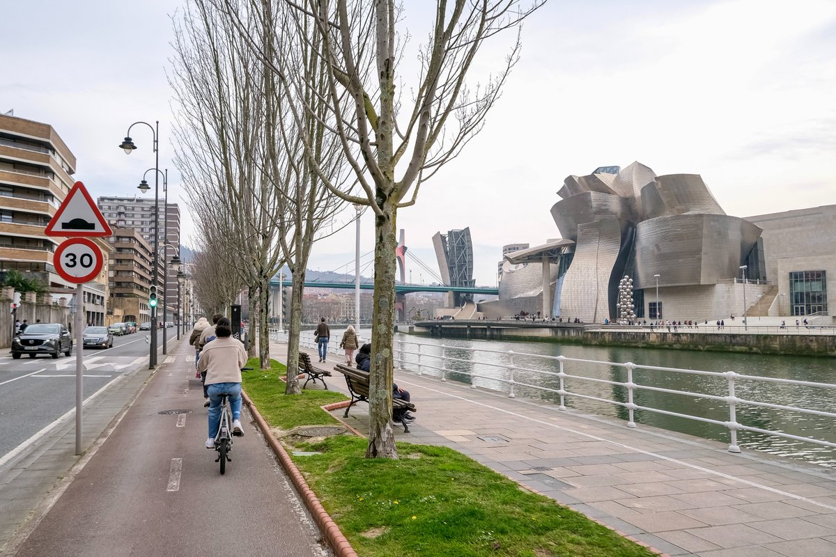
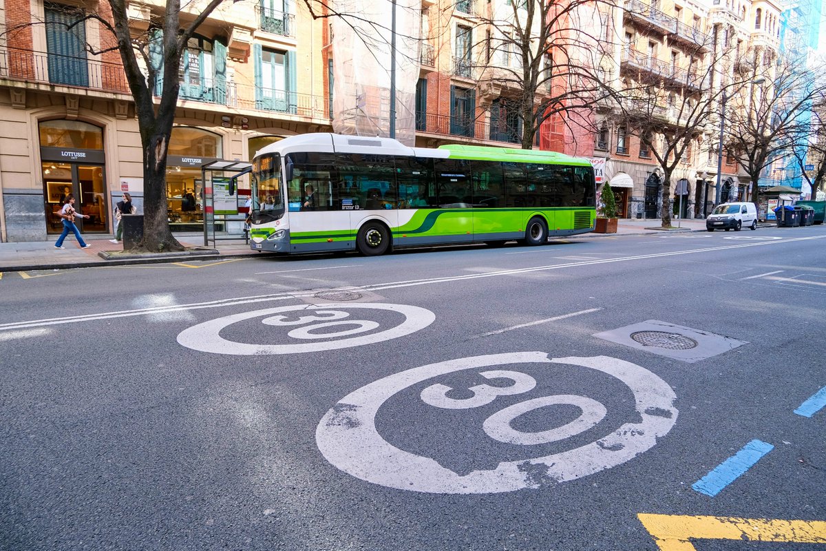
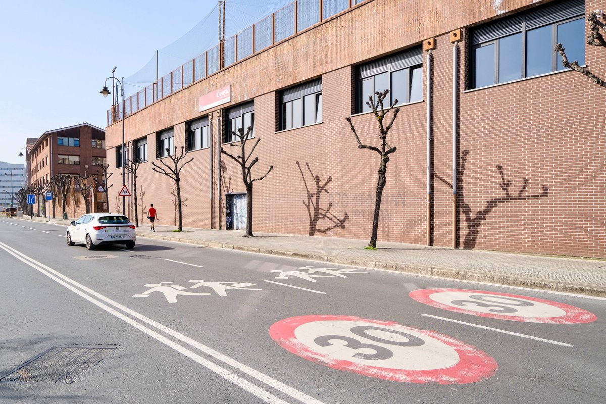
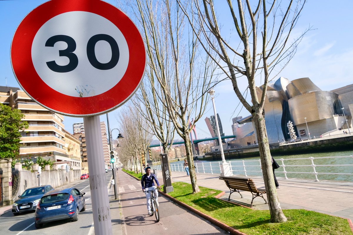
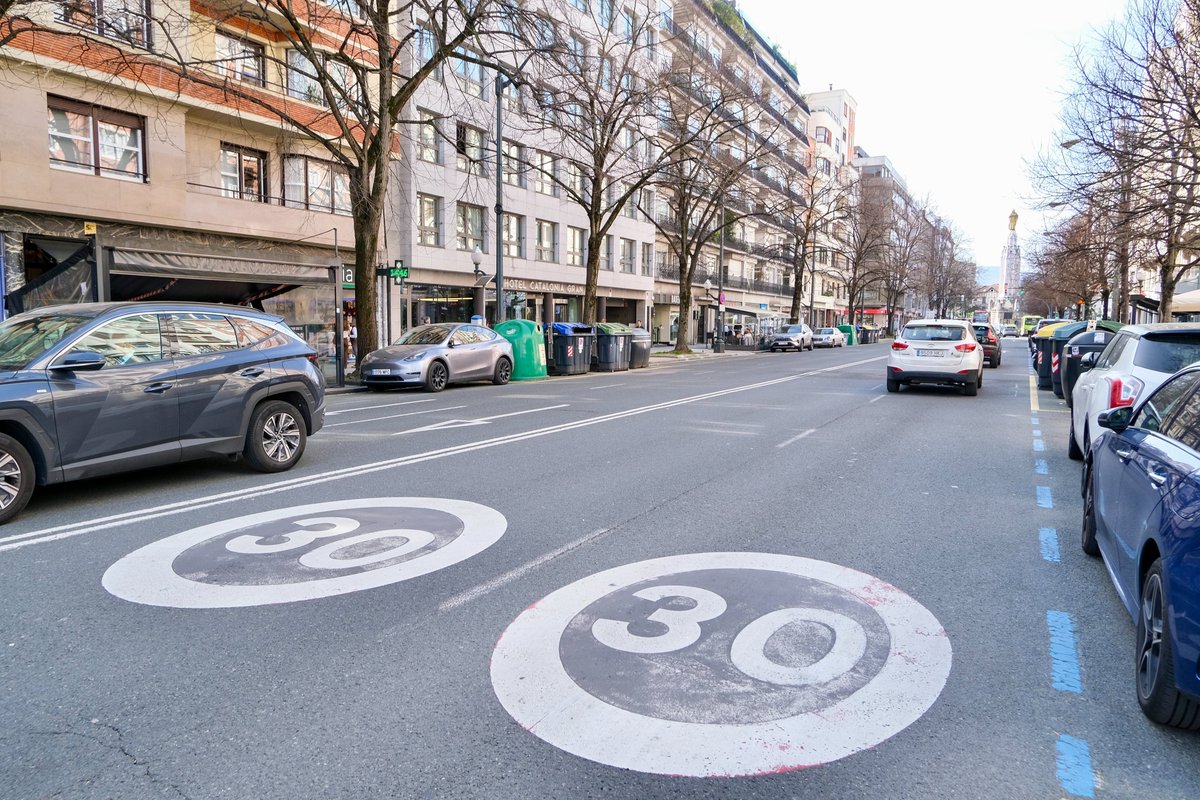
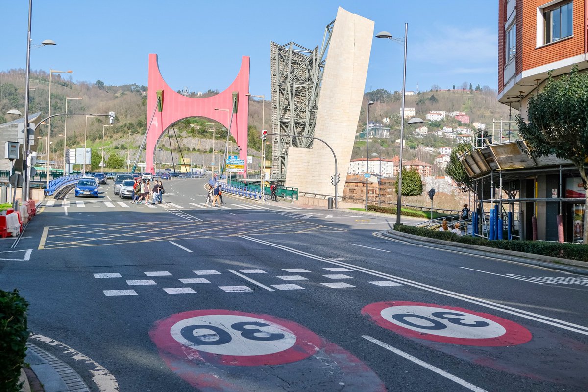
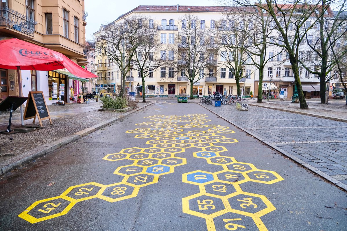
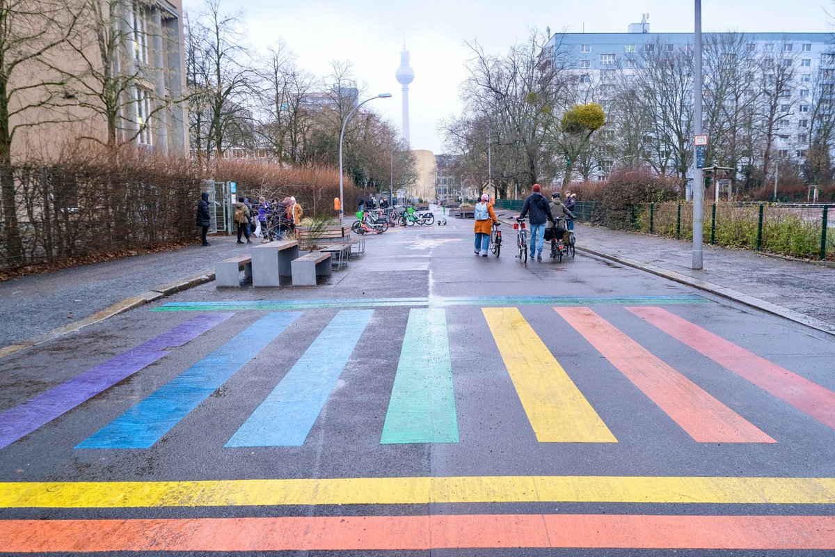
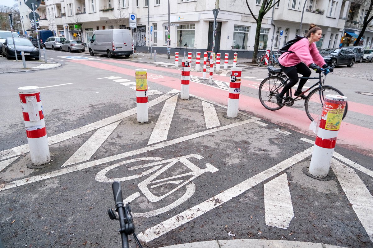
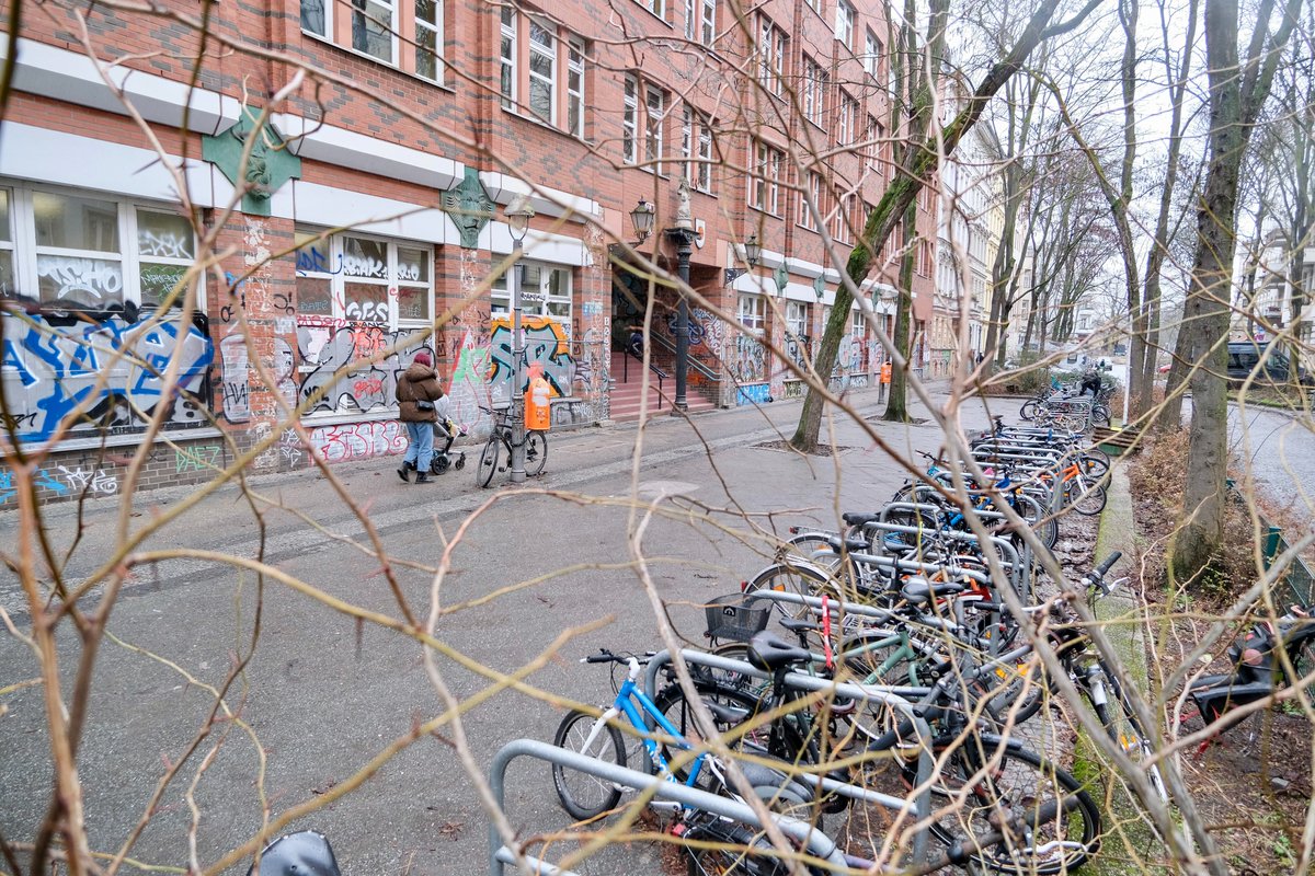
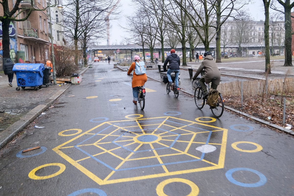
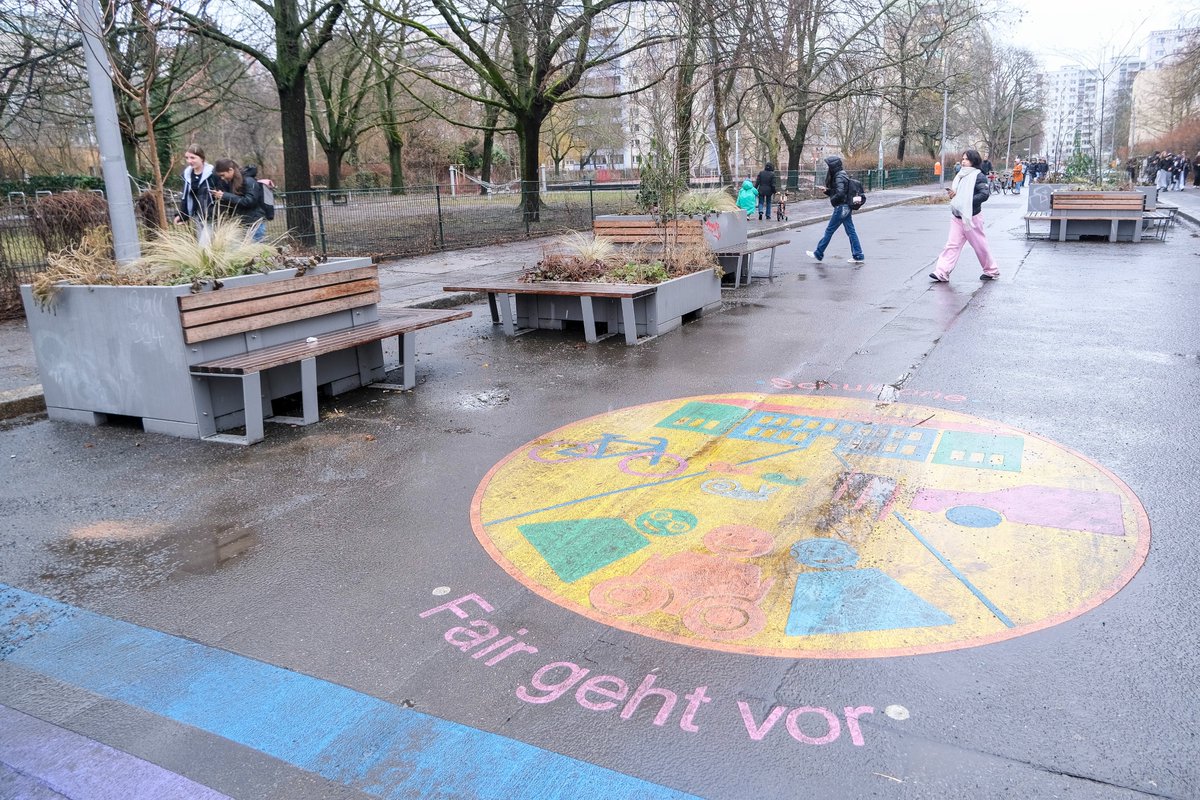
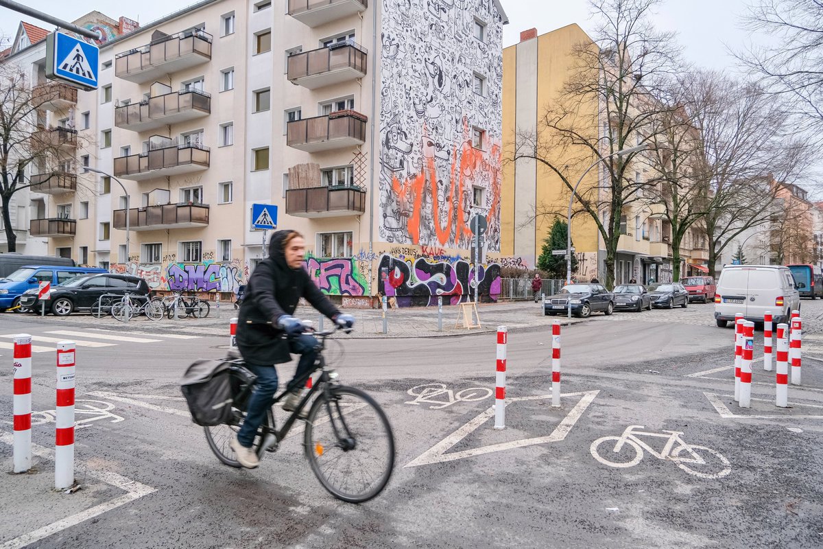
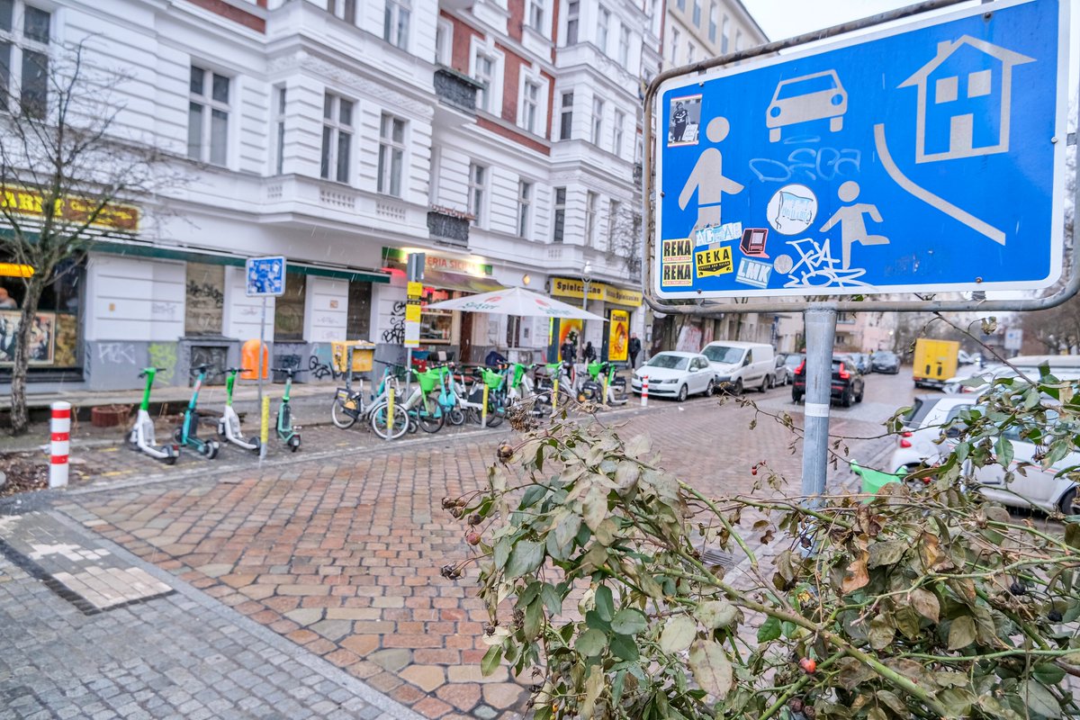
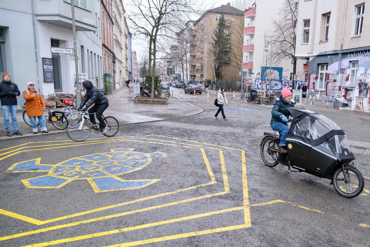
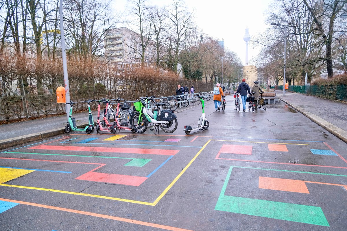
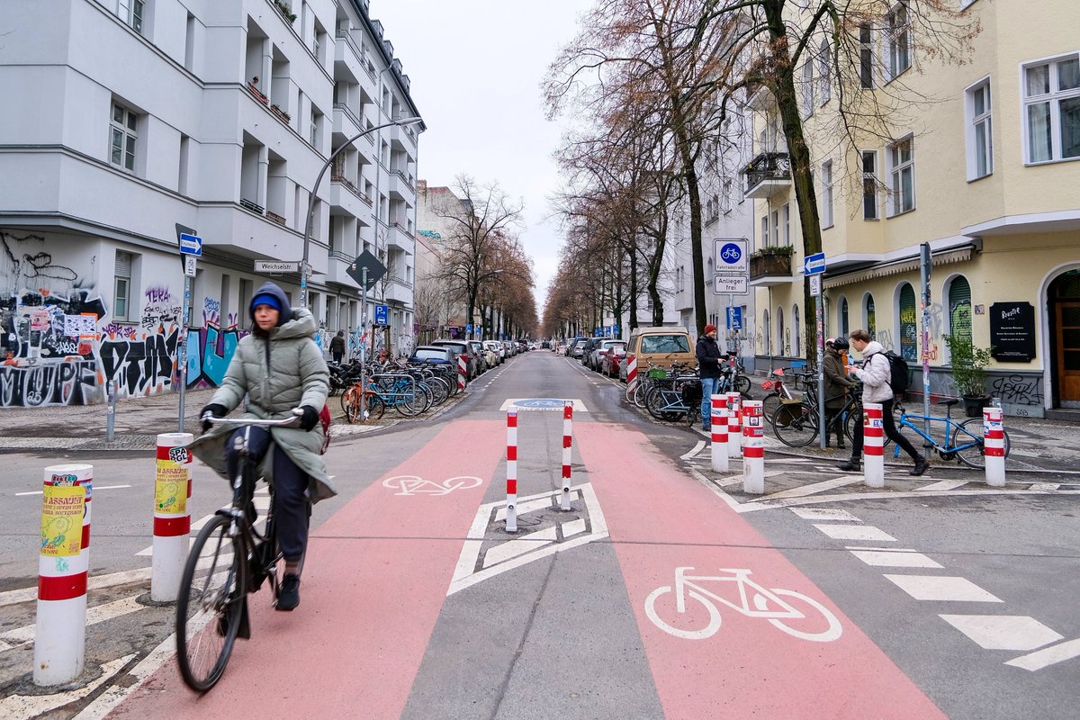
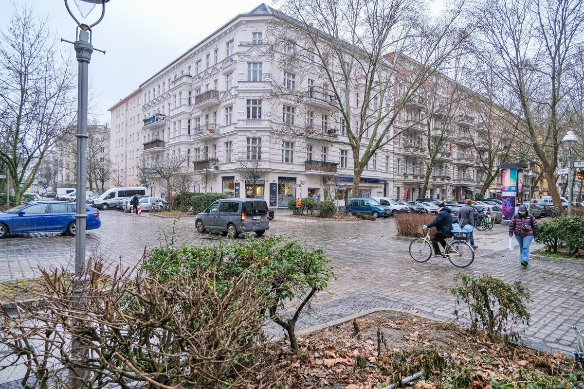
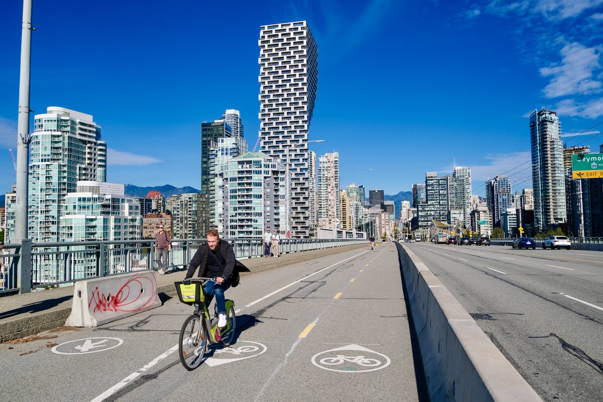
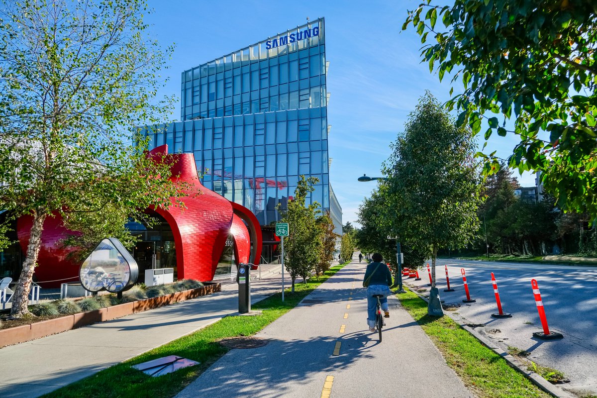
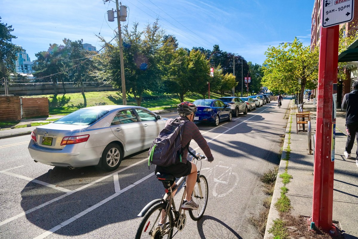
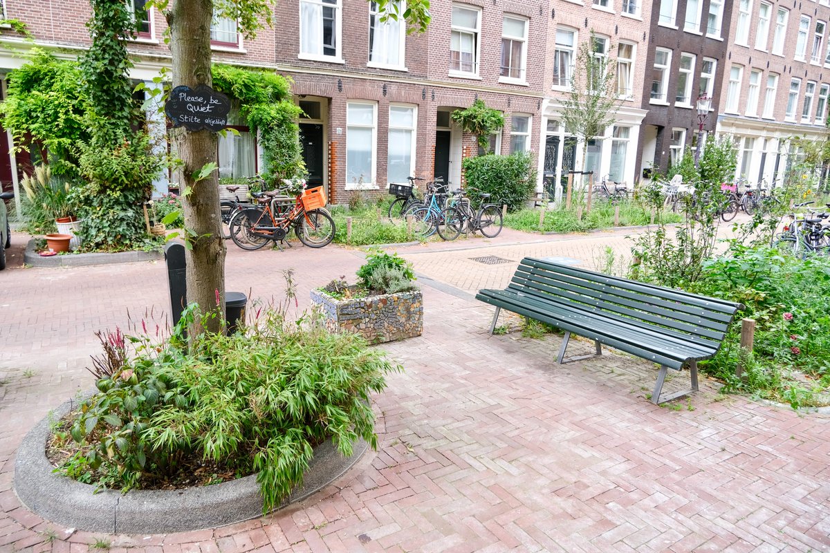
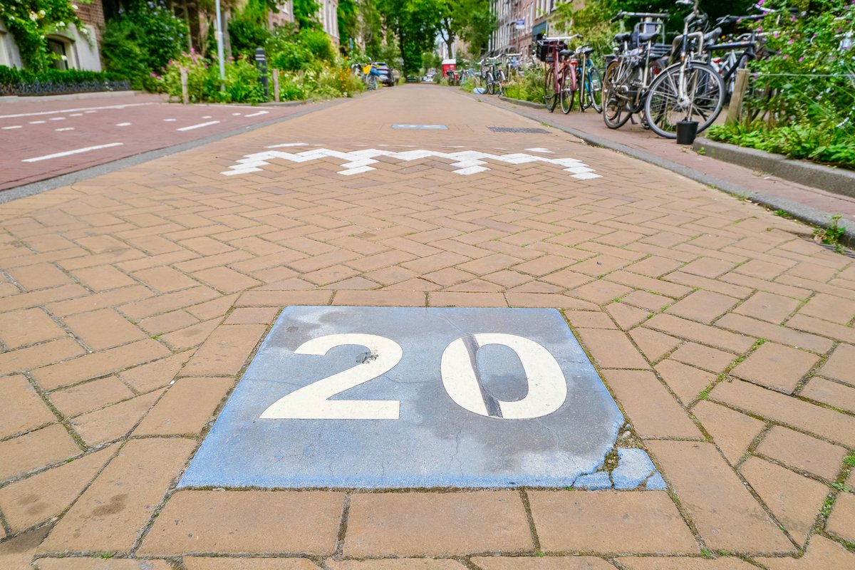
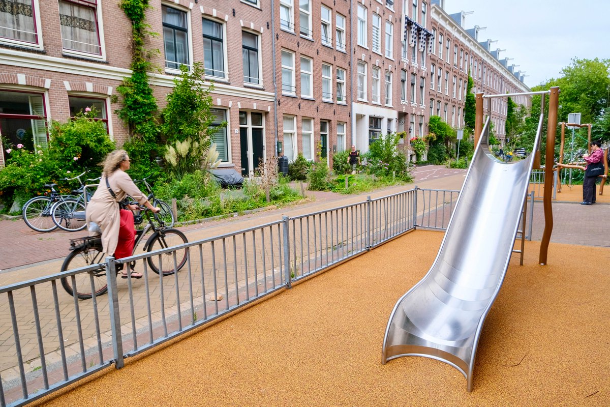
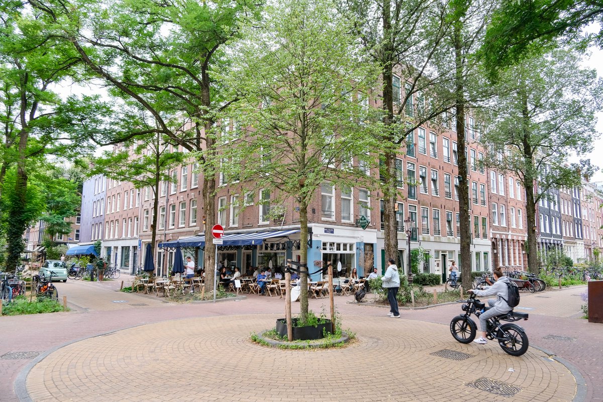
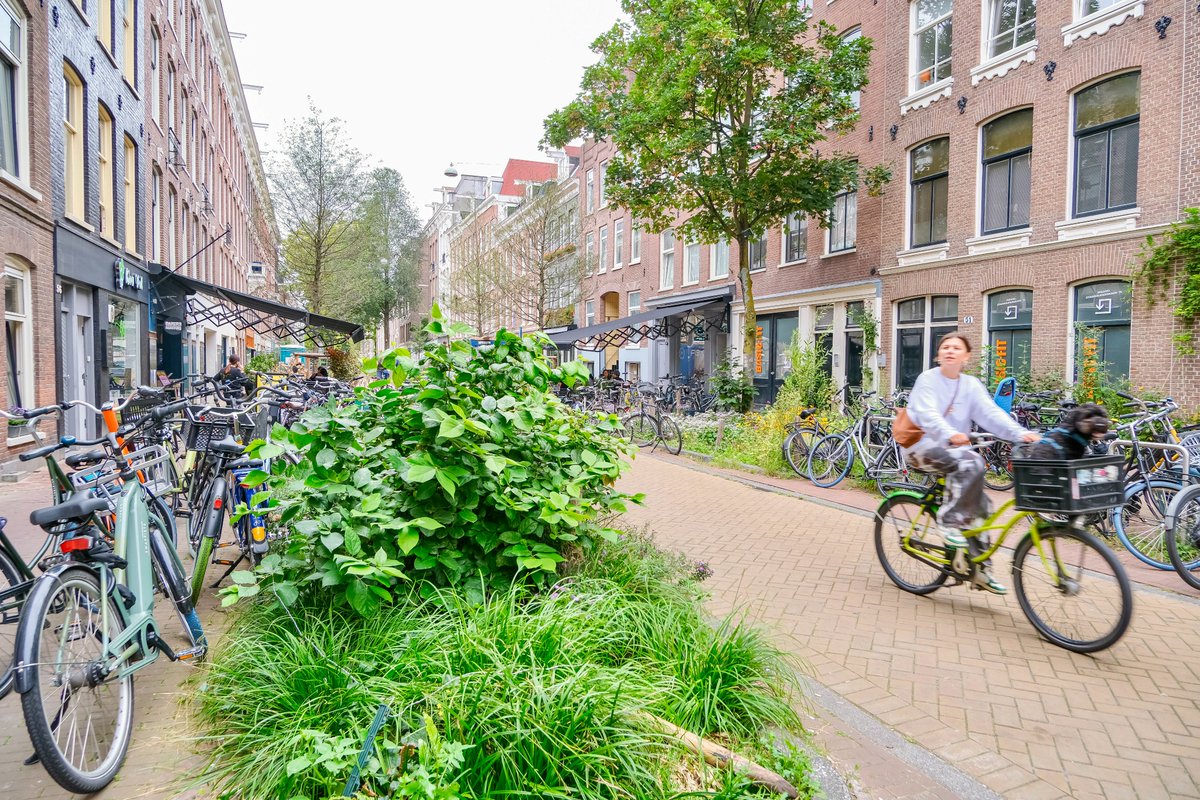
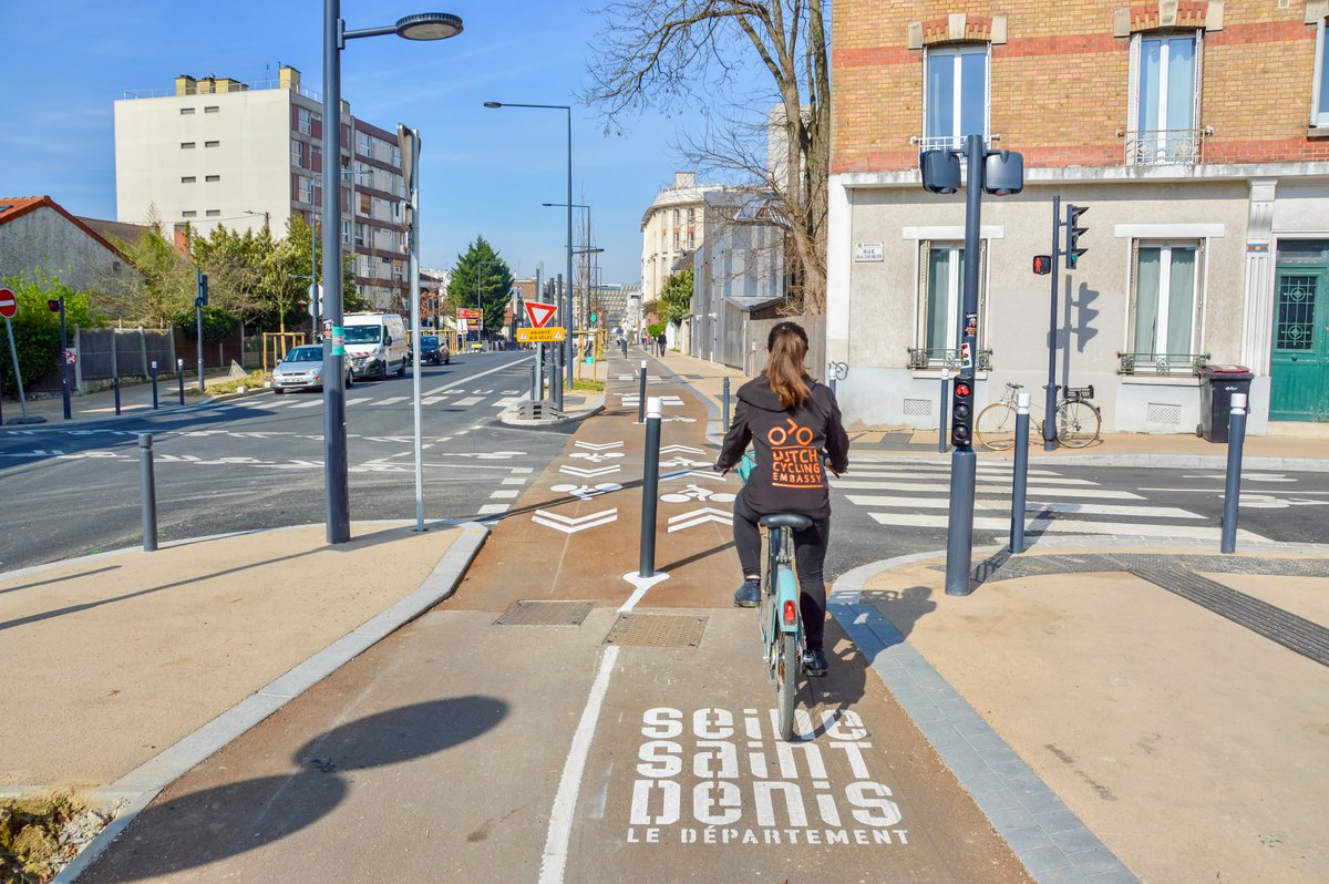
The five images in this post weren’t created by AI. They’re photos of places where the @Cycling_Embassy has worked... Pioneers that reframed the conversation, and asked, “Not what your city can do for cycling, but what cycling can do for your city.” WATCH:
• • •
Missing some Tweet in this thread? You can try to
force a refresh
Combining bike infrastructure and traffic filtering, along with the creation of pedestrian and green space, Place de Catalogne has undergone one of Paris' most striking urban metamorphoses—shifting from a harsh car-dominated roundabout to the city's pioneering “urban forest.”🧵
The unloved, inhospitable junction hegemonized by traffic was first subject to a temporary reallocation of space as part of Paris' "coronapistes". From there, a public consultation was started by the city in autumn 2021, which proposed replacing hard surface with dense woodland.
In June 2024, Mayor Hidalgo inaugurated Place de Catalogne as Paris’s first urban forest, a climate strategy milestone. It contains 470 trees in total: 270 large and medium, and 200 young trees. Concrete has given way to 4,000m² of forest, including 600m² of accessible clearing.
“Owning a car does not give you the right to take up public space.” When Pontevedra Mayor Miguel Lores was elected on a car-free platform in 1999, he wasted no time. The city was in severe decline, with pollution, health, safety, and livability all trending the wrong direction.🧵
Within one month in office, Lores pedestrianized 300,000 m2 of the city centre, filtered out through traffic, and removed significant amounts of on-street parking, as it was determined 60% of vehicles were circulating in search of a space—a significant contributor to congestion.
Outside the car-free zone, surface parkings were replaced by underground ones, and traffic lights were replaced by roundabouts; as well as calming measures that slowed speeds to 30 kph. Streets were designed with wider footpaths, narrower roadways and raised pedestrian crossings.
The decision to invest €30-million in the world’s biggest bike parking (12,500 spaces) at Utrecht Central Station seems extravagant, but when you calculate the cost of the alternatives—in the context of tens of thousands of bike-train trips each day—it’s an absolute bargain...🧵
An external analysis put the cost of the bike parking facility (including construction and operation) at €1 per user per day, where the cost of bus or tram travel was €3 per user per day. So enabling cycling to the station saved millions in public transport subsidies each year.
The savings were even more dramatic when compared to accommodating car travel to the station. The related negative externalities—such as congestion, pollution, road safety, and public health—were calculated in the tens of millions each year; even in the most optimistic scenarios.
The Netherlands’ systematic approach to road safety—especially on walking and cycling—is a textbook application of the Hierarchy of Controls: an industrial method which identifies a preferred order of actions to best reduce hazard exposure based on their general effectiveness…🧵
1️⃣ Elimination: The most effective measure involves physically removing the hazard at its source by restricting motor vehicles from accessing certain corridors and districts in the city, through the act of traffic filtering and circulation to establish car-free and low-car areas.
2️⃣ Substitution: This means using a safer alternative to the hazard source by replacing as many car journeys as possible with a combination of walking, cycling and public transport. This is accomplished by both making those alternatives attractive and making driving inconvenient.
Conventional wisdom thinks of car traffic as a liquid, where adding capacity (ie. width) keeps it flowing. But in reality it acts more like a gas, where it expands to fill the amount of space available. And the only proven way to relieve congestion is to evaporate some of it...🧵
Case in point: The Netherlands boasts a 150,000 km network of high-quality bike infrastructure in a 41,500 km² country, with 24 million bicycles for 18 million residents—who now make a quarter of their daily trips by pedal power. Sounds like a driver’s worst nightmare doesn’t it?
But Waze’s Driver Satisfaction Index—which analyzes the experiences of 65 million users in 38 countries and 235 cities—regularly names The Netherlands the most pleasant place in the world to drive, specifically referencing its “smooth traffic conditions” and “solid road quality”.
In 2020, 40% of motor traffic in Vilnius' city center was passing through with no intention of stopping—up to 70% on specific streets during the morning peak. In order to keep the social and economic heart of the city pumping, the city introduced a new traffic circulation plan.🧵
Practically a copy-paste of the plan implemented in the Dutch city of Groningen in 1977, Vilnius' center is divided into four zones, each with one main entrance and one or two exits. Traffic in each loop is one-way only, regulated by signage, barriers, and a 20 km/hr speed limit.
Under the plan, residents and visitors of the Old Town continue to be able to drive to their homes, workplaces and attractions, but can't drive directly through the city center. All motor vehicles, with the exception of public transport, must exit from the same zone they entered.