Yohan Profile picture
Jan 24 8 tweets 3 min read Read on X
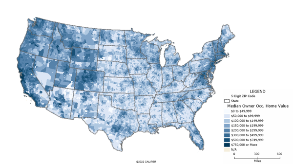
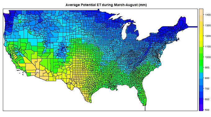
We can now easily access over 18,000 geospatial datasets instantly, for free.

Here's everything you need to know about the Geospatial Data Catalog:
Finding the right geospatial dataset can be incredibly frustrating.

We sift through Google Earth Engine, Humanitarian Data Exchange, etc, only to come up empty-handed.

We'll often conclude the dataset we need simply doesn’t exist.
So I was absolutely thrilled to discover the Geospatial Data Catalog.

It’s a new free tool that catalogs more than 18,000 (free) geospatial datasets.

Link: geospatial.communityImage
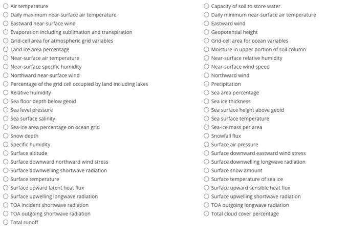
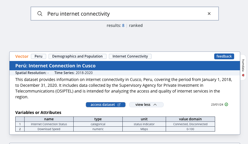
For each dataset, they provide info on the:

• Time-series
• Spatial resolution
• Dataset description
• Key variables of the dataset
• Link to the website so you can download the data Image
It was built by Rob Johnsen, who creates geospatial platforms for the World Bank.

It’s still in beta testing.

Rob says he's keen for any feedback or suggestions you have.

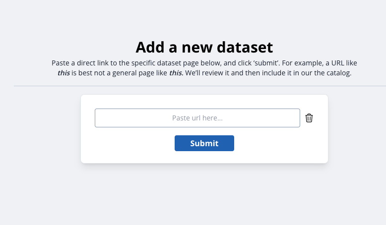
You can even add new datasets if you notice something missing: Image
The hope is that this tool becomes driven by the community.

We can:

• submit new datasets
• provide feedback on data descriptions, and
• help improve the discoverability of geospatial data.

This will help grow the size of the geospatial pie for all of us.
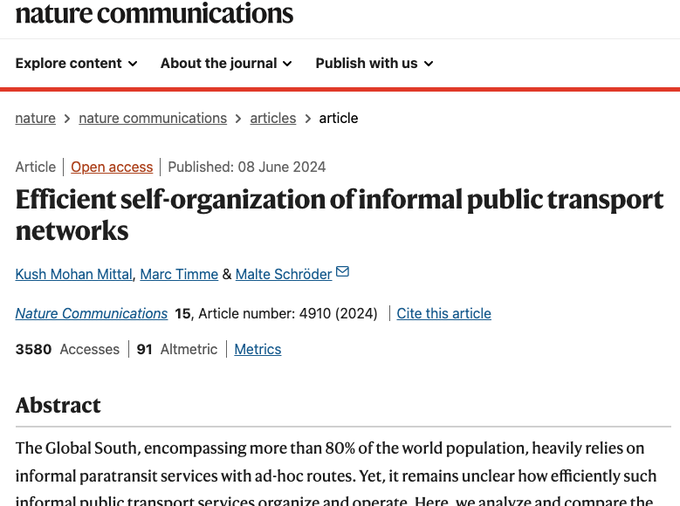
And if you like geospatial datasets, you might enjoy this post on geospatial GDP estimates:


And give us a follow @yohaniddawela for more breakdowns on geospatial topics.
Interested in getting early notice of tools like this?

Then subscribe to the Spatial Edge newsletter: .

I cover geospatial breakthroughs each Wednesday. yohan.soImage

• • •

Missing some Tweet in this thread? You can try to force a refresh
 

Keep Current with Yohan

Yohan Profile picture

Stay in touch and get notified when new unrolls are available from this author!

Read all threads

This Thread may be Removed Anytime!

PDF

Twitter may remove this content at anytime! Save it as PDF for later use!

Try unrolling a thread yourself!

how to unroll video
  1. Follow @ThreadReaderApp to mention us!

  2. From a Twitter thread mention us with a keyword "unroll"
@threadreaderapp unroll

Practice here first or read more on our help page!

More from @yohaniddawela

Jan 17
Did you know we can access 𝙙𝙖𝙞𝙡𝙮 geospatial climate projections up until 1 Jan 2100?

It covers projections for:
• temperatures
• precipitation
• wind

Plus it's completely free.

Here's what you need to know about it: Image
Daily geospatial scenario-based climate projections are part of the CMIP initiative.

CMIP is a framework for research centres across the world to develop standardised climate projections. Image
𝗗𝗮𝘁𝗮 𝗮𝘃𝗮𝗶𝗹𝗮𝗯𝗶𝗹𝗶𝘁𝘆

There are dozens of climate variables that are available at a geospatial level.

This includes:

• snowfall
• rain and temperature
• ocean changes, and so on: Image
Read 14 tweets
Jan 16
Much of the world runs on informal transport networks.

However, it's difficult to assess how efficient these are.

A new study examines 7,000 bus routes in 36 cities across 22 countries in order to find out.

The results are pretty surprising: Image
A new paper in @NatureComms examines how informal public transport networks in lower-income countries self-organise without central planning.

It analyses over 7,000 bus routes in 36 cities across 22 countries. Image
@NatureComms Using GPS route data sourced from @openstreetmap, the researchers compared informal bus services with formal, centrally planned networks in higher income countries.
Read 7 tweets
Jan 13
Some new surprising facts about nightlights have just been uncovered.

These will impact how we use nightlights to measure economic growth.

Here's the breakdown: Source: Colorado School of Mines
A new working paper examines the relationship between nightlights and GDP at local levels.

They've uncovered a couple of surprising facts: Image
Many researchers use nightlights as a proxy for economic activity in the absence of official GDP data.

This is something I've covered before:

Read 14 tweets
Jan 9
One of the best use cases for geospatial data is examining environmental factors.

Here's a list of my favourite geospatial environmental datasets: Source: fairr.org
1. CO2 Emissions

@EU_ScienceHub's EDGAR database provides global geospatial data on:

• CO2 emissions
• GHG emissions
• pollutants data

Link: edgar.jrc.ec.europa.eu/emissions_data…Image
@EU_ScienceHub 2. Air Pollution (particulate matter)

@ECMWF's Copernicus Atmosphere Monitoring Service provides real-time data on PM2.5, PM10 and so on.

It's a great resource for measuring air pollution.

Link: developers.google.com/earth-engine/d…Image
Read 10 tweets
Jan 3
In 2024, I averaged about 4 posts a day on economics and geospatial data science.

Here are the most popular posts from last year in case you missed them: Image
1. How NASA is increasing the resolution of nightlights to examine the earthquake in Turkey

2. My favourite geospatial data science tools:

Read 13 tweets
Dec 17, 2024
The most important geospatial concept?

Spatial Autocorrelation.

It can make the difference between spurious and accurate results.

Here’s what you need to know about it: Image
In short, spatial autocorrelation is a measure of how similar or dissimilar things are based on their locations. Source: Waterprogramming
It's a similar concept to clustering.

Clustering refers to the grouping of similar objects.

So when you see clusters on a map, it means that similar values are concentrated in certain areas. Source: Liu et al. (2012)
Read 15 tweets

Did Thread Reader help you today?

Support us! We are indie developers!


This site is made by just two indie developers on a laptop doing marketing, support and development! Read more about the story.

Become a Premium Member ($3/month or $30/year) and get exclusive features!

Become Premium

Don't want to be a Premium member but still want to support us?

Make a small donation by buying us coffee ($5) or help with server cost ($10)

Donate via Paypal

Or Donate anonymously using crypto!

Ethereum

0xfe58350B80634f60Fa6Dc149a72b4DFbc17D341E copy

Bitcoin

3ATGMxNzCUFzxpMCHL5sWSt4DVtS8UqXpi copy

Thank you for your support!

Follow Us!

:(