🧵The heavily damaged Noura Al-Kaabi Kidney Dialysis Center, Beit Lahia, North #Gaza
31.535376, 34.510534
The center was likely used as temporary base by the IDF in the past (see below).
Video: Khalil Ramzi Alkahlut/Anadolu Agency via Getty Images
1/11

31.535376, 34.510534
The center was likely used as temporary base by the IDF in the past (see below).
Video: Khalil Ramzi Alkahlut/Anadolu Agency via Getty Images
1/11
https://x.com/TRTArabi/status/1887131564360057131

2/ The Israeli military first entered the area around 21 Nov. 2023 as shown by geolocations.
The Gaza Ministry of Health reportedly announced the reopening of the center on 29 Nov. 2023: t.me/safaps/174993
x.com/NemoAnno/statu…
The Gaza Ministry of Health reportedly announced the reopening of the center on 29 Nov. 2023: t.me/safaps/174993
x.com/NemoAnno/statu…
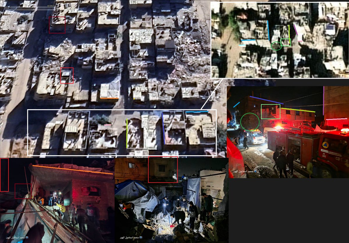
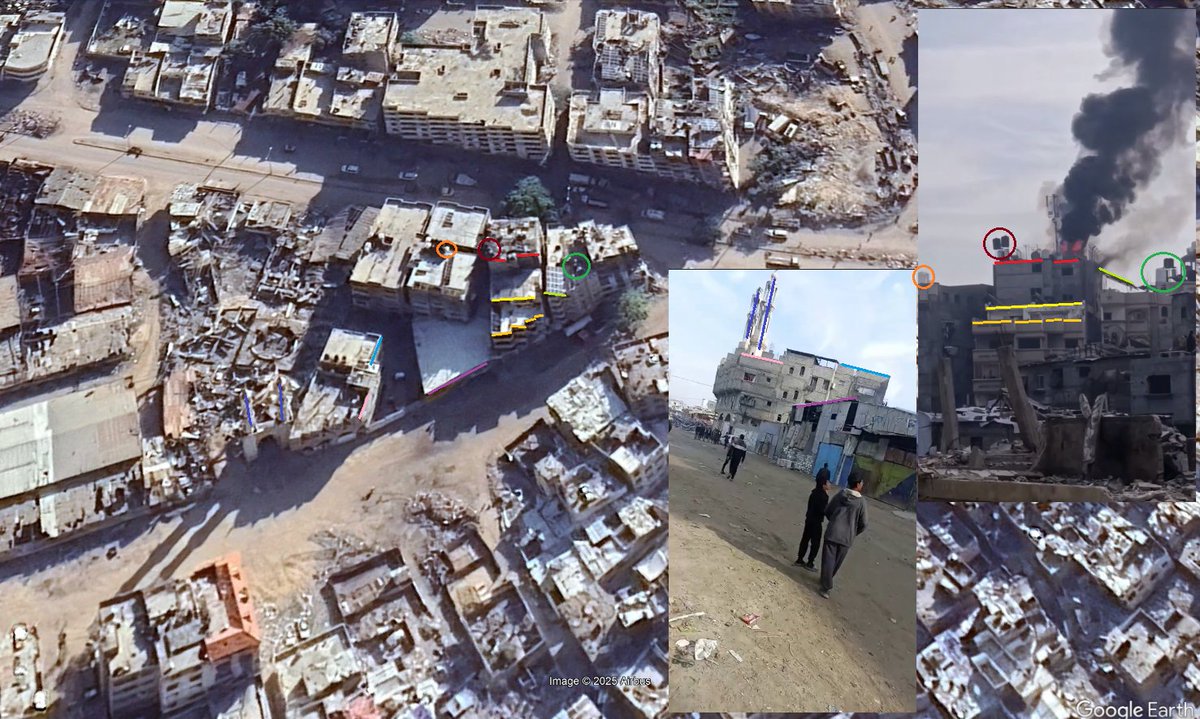
3/ Footage posted on 30 Nov. 2023 shows the center with visible damage on the NW wall (31.535455, 34.510433).
https://x.com/Sa7atPl/status/1730299371978170573

4/ Other footage, also posted on 30 Nov. 2023 shows spray paint, reportedly on the centers walls.
I wasn't able to conclusively find an exact match, but the equipment and interior match other footage of the center.
I wasn't able to conclusively find an exact match, but the equipment and interior match other footage of the center.
https://x.com/george_canawati/status/1730145603605180627


5/ On 27 May 2024, @ytirawi posted screenshots showing Israeli soldiers in the center. 3 of the photos can also be matched to pre-war footage of the center.
https://x.com/ytirawi/status/1795129920902873557


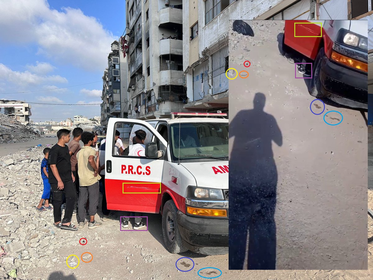
6/ Another photo shows an Israeli soldier in front of the center at 31.535216, 34.510237
https://x.com/ytirawi/status/1795130458285412716


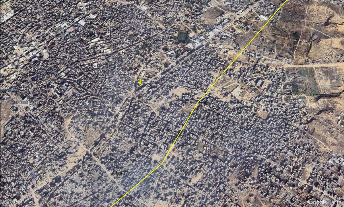
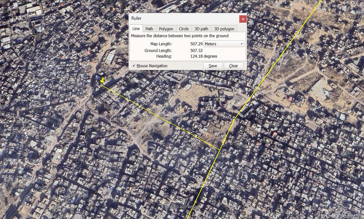
7/ A video, posted more recently by @trackingisrael (but older) shows what appears to be an Israeli soldier (allgedly Golani Brigade) urinating from a window in the Indonesian Hospital opposite Noura Al-Kaabi Kidney Dialysis Center.
31.535117, 34.509614
31.535117, 34.509614
https://x.com/trackingisrael/status/1885051435554881777

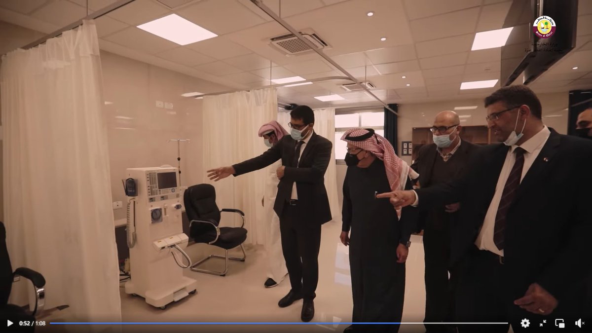
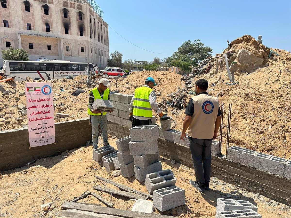
8/ On 28 Aug. 2024, pictures were posted of restoration work by @krcs_org_kw at the center.
31.535421, 34.510253
Photo: x.com/krcs_org_kw/st…
Photos: kuna.net.kw/ArticleDetails…
x.com/TheArabHash/st…
31.535421, 34.510253
Photo: x.com/krcs_org_kw/st…
Photos: kuna.net.kw/ArticleDetails…
x.com/TheArabHash/st…


9/ The Kuwait Red Crescent Society also posted a video on IG on 4 Sep. 2024 showing the damage inside the center as well as restoration work.
Source: instagram.com/k.r.c.s/reel/C…
Source: instagram.com/k.r.c.s/reel/C…
10/ The scene at 0:21 in this video possible matches the 4th photo shared by Younis. However I'm not 100% positive on the match.
https://x.com/ytirawi/status/1795129920902873557

11/ Older reference footage used in this thread:
Photo: facebook.com/Indonesia.Hosp…
Video: facebook.com/watch/?v=24403…
Photo: alray.ps/ar/post/227768
x.com/jaberalharmi/s…
Photo: facebook.com/Indonesia.Hosp…
Video: facebook.com/watch/?v=24403…
Photo: alray.ps/ar/post/227768
x.com/jaberalharmi/s…
• • •
Missing some Tweet in this thread? You can try to
force a refresh