
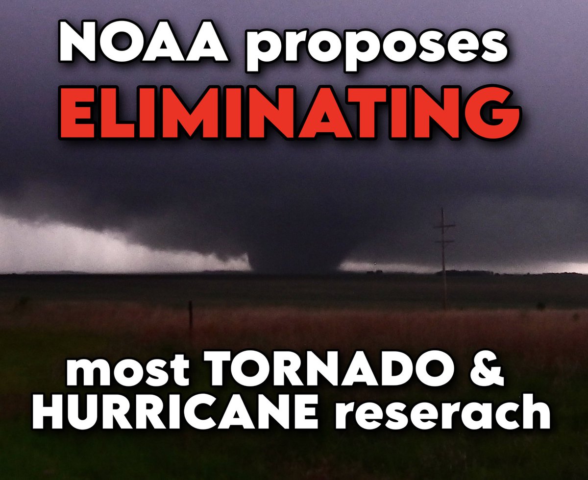
BREAKING: NOAA is proposing to eliminate most federal hurricane/tornado research in sweeping 2026 budget cuts.
This includes the elimination of the National Severe Storms Laboratory and the Hurricane Research Division — curtailing forecast improvements for hurricane- and tornado-prone areas.
The National Oceanic and Atmospheric Administration released its proposed budget for 2026 on Monday. Aside from a 17% workforce reduction, the proposal seeks to eliminate OAR — Ocean and Atmospheric Research — an umbrella for most federally-funded weather and climate research. OAR is made up of 10 research laboratories and 16 affiliated cooperative institutes at various universities.
One of the laboratories to be shuttered is NSSL, or the National Severe Storms Laboratory in Norman, Oklahoma. They’ve been around for 60 years. They’re the first ones to ever use radar to track a tornado’s life cycle (they did that in Union City, Oklahoma on May 24, 1973). NSSL was the driver that spurred Congress to approve nationwide weather radar in the 1980s. It’s why we have tornado warnings (those weren’t a thing just a few generations ago).
NSSL is currently working on an AI and machine learning-driven program called “Warn on Forecast,” which will use ultra high-resolution weather models that could allow the issuance of tornado warnings HOURS before a thunderstorm even develops. The project “is designed to make probabilistic predictions of individual thunderstorms out to six hours in advance” writes NSSL. It too is on the chopping block.
NSSL has also been working to develop and implement “phased-array radar,” which would allow radars to target individual thunderstorms and scan more rapidly, providing ultra-fast radar scans low within a storm. That would improve tornado detection. (Conventional radars — those dome-like things you see — spin around and around, which adds time to each scan).
It’s because of NSSL that we have “dual-polarization” radar, which is what lets us detect debris the instant a tornado touches down.
NSSL is also working on a groundbreaking hail study that is in jeopardy. Hail costs U.S. insurers some $10 billion per year. Understanding how to better forecast it could mitigate that loss and help meteorologists issue better warnings.
But that’s just the start of proposed cuts. NOAA’s proposal would also eliminate the Atlantic Oceanographic and Meteorological Laboratory in Miami. That includes the Hurricane Research Division.
The Hurricane Research Division is responsible for developing and maintaining one of our best hurricane-forecasting models — HAFS, or the Hurricane Analysis and Forecasting System. That’s the model that arguably best simulates storms that could rapidly intensify. As meteorologists, we rely heavily on it. It’s unclear what the future of the model would be.
There are also some signs that Hurricane Hunter flights could be limited, though we’re working to learn more details on any specifics. Funding for replacement planes, which have been around since the mid-1970s, is uncertain. The planes were scheduled to be retired and replaced by 2030.
Many climate monitoring services and databases could also be suspended.
The American Meteorological Society — the nation’s preeminent body for atmospheric scientists — issued a statement condemning the proposed cuts and warning of concerning consequences.
They argue that decisions are being made hastily, offering “little to no opportunity… [for] consideration of long-term impacts.”
They also write “The scientific backbone and workforce needed to keep weather forecasts, alerts, and warnings accurate and effective will be drastically undercut, with unknown — yet almost certainly disastrous — consequences for public safety and economic health.”
We’ll keep you abreast of the latest as we learn more information about proposed changes.
Key models and research projects could be heavily impacted:


• • •
Missing some Tweet in this thread? You can try to
force a refresh


