
The Philippine Space Agency (PhilSA) has generated flood extent maps for Regions I, CAR, II, III, IV-A, and IV-B following the heavy rains due to combined effects of Tropical Storm #CrisingPH, Severe Tropical Storm #BisingPH, and the southwest monsoon (habagat). 
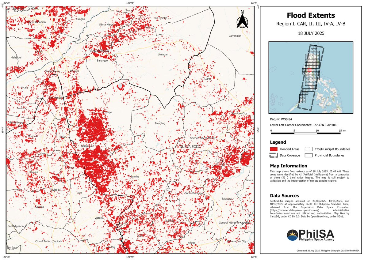
Please be advised that the accuracy of these maps is still subject to field validation. Floods, which may have subsided before this time period, will not be visible in the available imagery.
The image above is a sample of the generated maps. You may access the high-res versions of the maps and their shapefiles here:
To determine the map no. for a location, please refer to the index map found on the upper right side of the provided sample map.bit.ly/flood_20250718
To determine the map no. for a location, please refer to the index map found on the upper right side of the provided sample map.bit.ly/flood_20250718
The datasets are also available on the Humanitarian Data Exchange 👇
data.humdata.org/dataset/philip…
data.humdata.org/dataset/philip…
• • •
Missing some Tweet in this thread? You can try to
force a refresh


