🧵Since at least 10 Nov. limited restoration efforts have been ongoing at the largely destroyed historic Qasr al-Basha in the old city of Gaza City, Northern #Gaza
31.504506, 34.466235
Last photo: satellite image via GEP from 19 Oct. 2023

31.504506, 34.466235
Last photo: satellite image via GEP from 19 Oct. 2023
https://x.com/TwistyCB/status/1776646469455384786


Based on the imagery, involved organisations include: the Ministry of Tourism and Antiquities, the Centre for Cultural Heritage Preservation & the ALIPH Foundation.
Several apparently recovered antiquities are visible.
Related article: arabnews.com/node/2622547/m…
Several apparently recovered antiquities are visible.
Related article: arabnews.com/node/2622547/m…

Similar efforts were seemingly carried out during the previous ceasefire, as visible on photos from 3 March 2025.
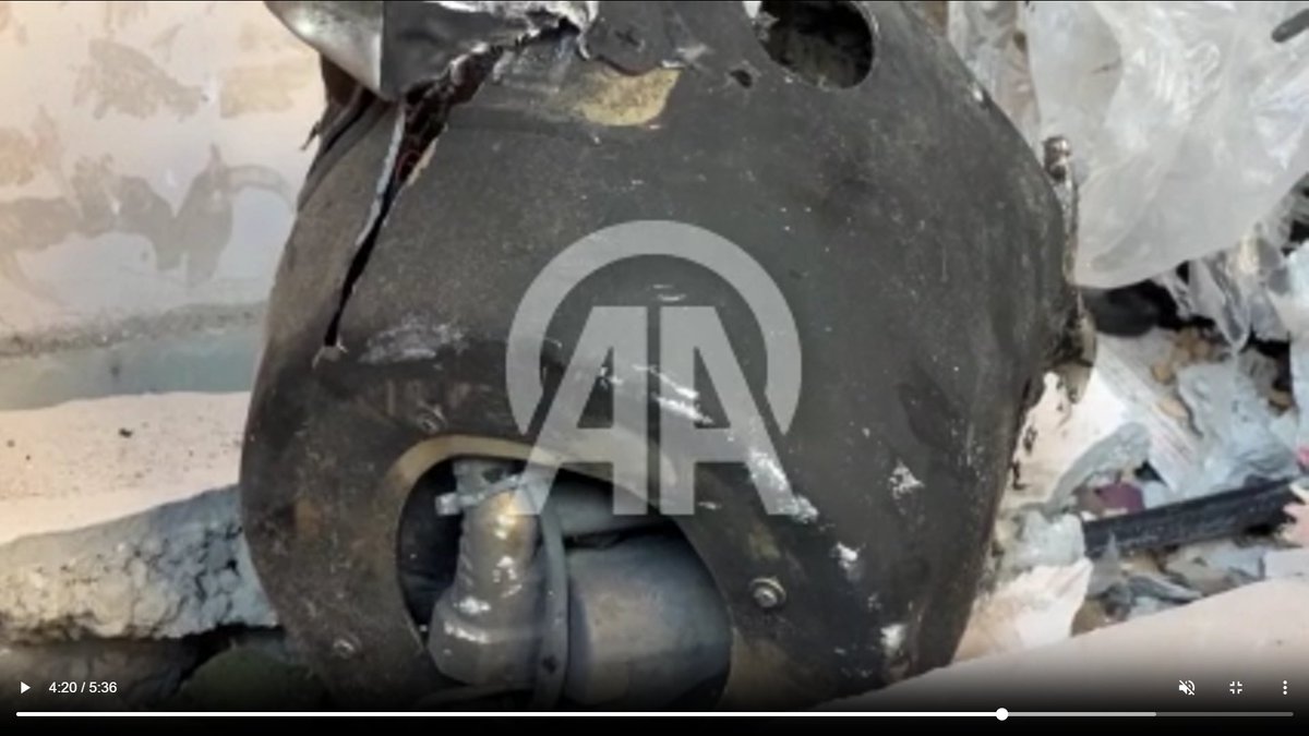
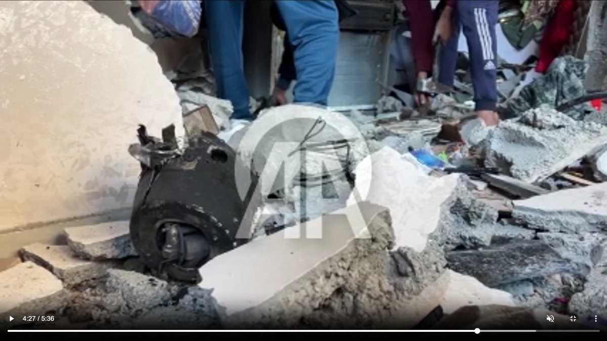
Photos: anadoluimages.com/Search?collect…
Photos: anadoluimages.com/Search?collect…


Correction from post 1: photos posted on 6 Nov. by the CCHP already show workers at the Pasha Palace Museum.
Source: facebook.com/permalink.php?…
Source: facebook.com/permalink.php?…


3 other photos, taken by journalist Khames Alrefi on 6 Nov. also show the destroyed heritage site.
Source: (Photo 14, 16 & 17) anadoluimages.com/Search?collect…
Source: (Photo 14, 16 & 17) anadoluimages.com/Search?collect…


A video, reportedly from 9 Nov. also shows the restoration efforts: anadoluimages.com/p/restoration-…
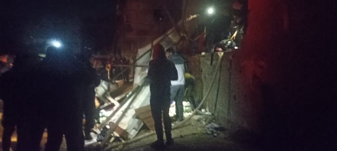
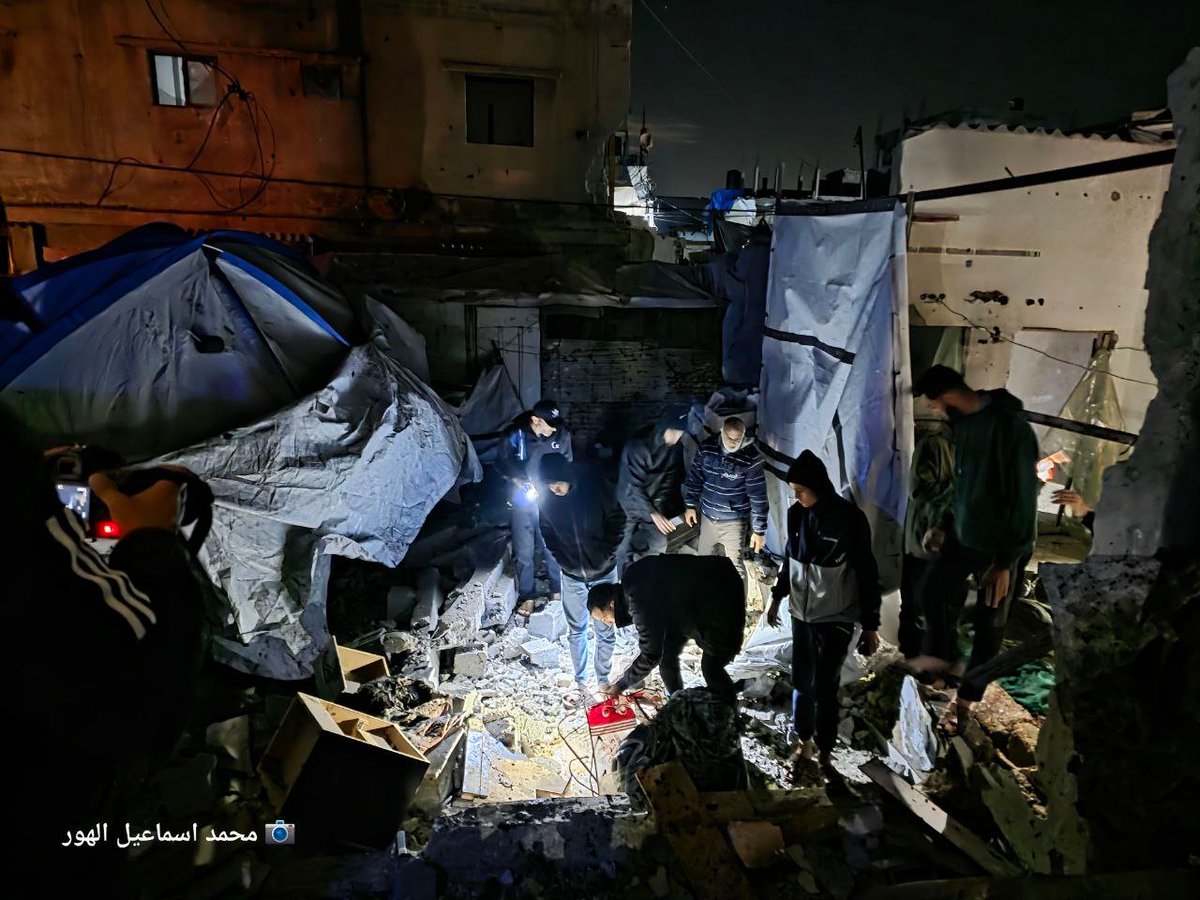
Footage posted on 10 Nov. 2025.
Photo: t.me/safaps/338926
Photos: t.me/safaps/338929
Photos: anadoluimages.com/Search?collect…
Video: t.me/safaps/338938
Photo: t.me/safaps/338926
Photos: t.me/safaps/338929
Photos: anadoluimages.com/Search?collect…
Video: t.me/safaps/338938


Photos posted on 11 Nov. 2025. More available on Getty Images.
Credit: OMAR AL-QATTAA/AFP via Getty Images
Credit: OMAR AL-QATTAA/AFP via Getty Images


Footage posted on 12 Nov. 2025.
Video: instagram.com/p/DQ9DIxPjdOZ/
Video: t.me/qudsfeed/382554
Photos: t.me/WAFAgency/73167
Video: instagram.com/p/DQ9DIxPjdOZ/
Video: t.me/qudsfeed/382554
Photos: t.me/WAFAgency/73167


• • •
Missing some Tweet in this thread? You can try to
force a refresh