Zelensky is right on this one, Ukraine 🇺🇦 has no interest in giving away the remaining part of Donbas
This area is the most fortified of Ukraine, there are some of the last big cities, 200 000 inhabitants and losing it would open the path for Kharkiv or Dnipro.
🧵1/5 ⬇️
This area is the most fortified of Ukraine, there are some of the last big cities, 200 000 inhabitants and losing it would open the path for Kharkiv or Dnipro.
🧵1/5 ⬇️
https://twitter.com/ZelenskyyUa/status/2042269469192372633
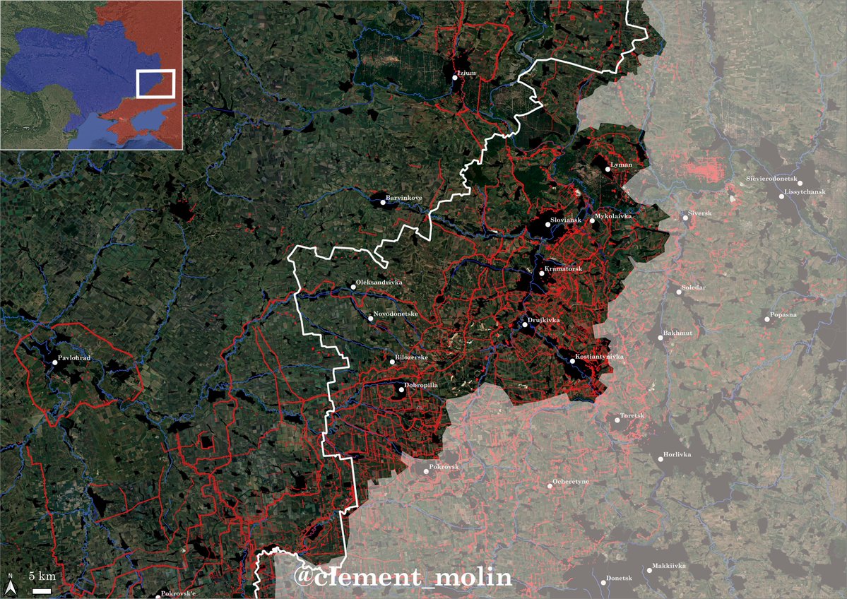
Here is a map showing all the barbed wire protecting cities, towns and villages from infiltration. Going though will be costly, and this is in Donbas.
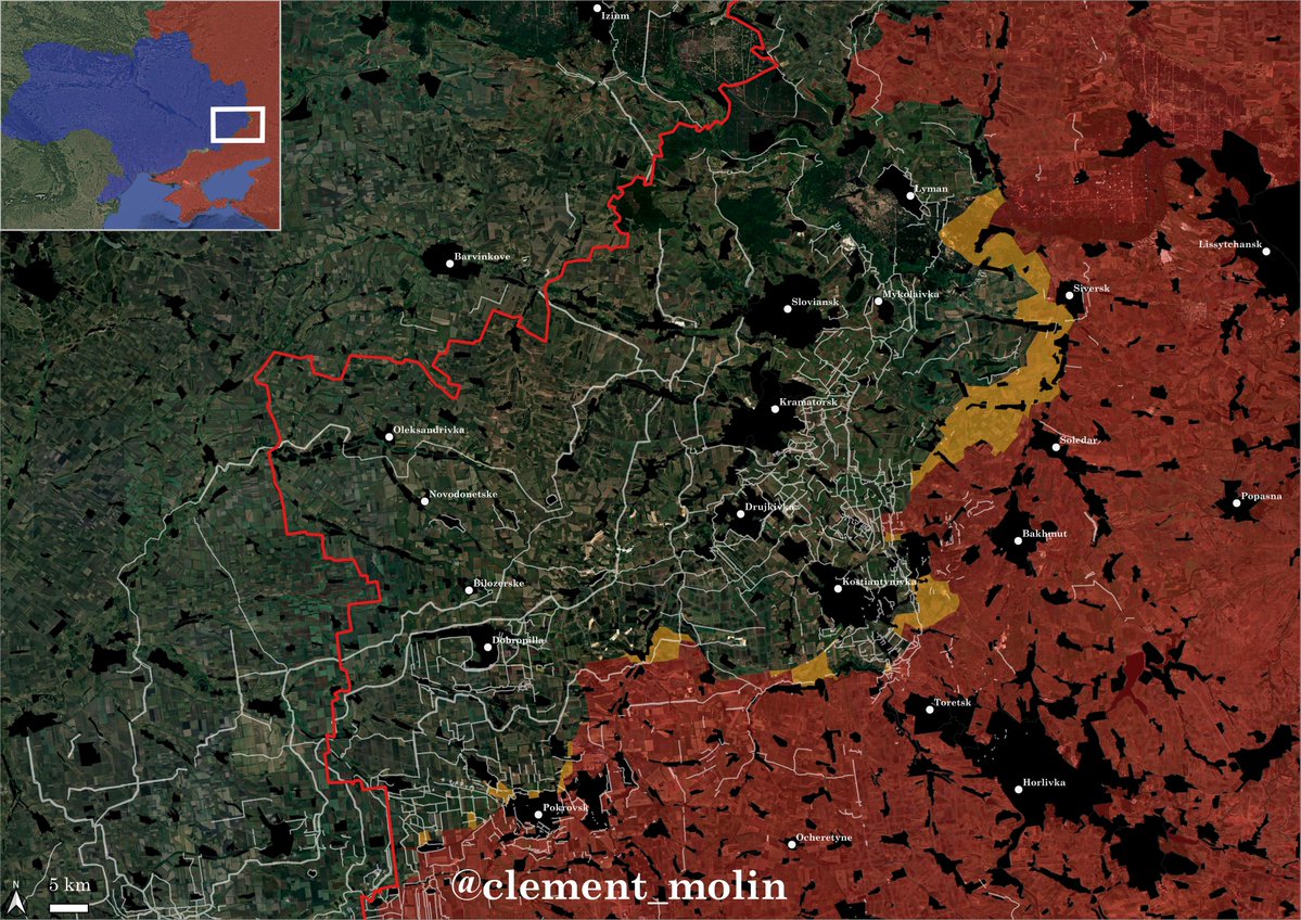
The main city is Kramatorsk, but there are also additionnal cities such as Sloviansk or Dobropilla.
These cities are highly fortified, but there is also heavy industry, power plants and mines. Ukraine has no interest leaving the area.
These cities are highly fortified, but there is also heavy industry, power plants and mines. Ukraine has no interest leaving the area.

Here is the same map but with trenches and ditches in red in addition.
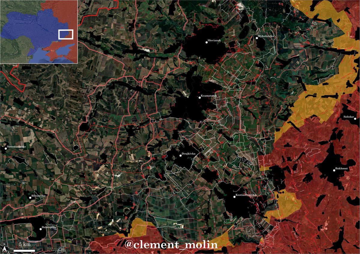
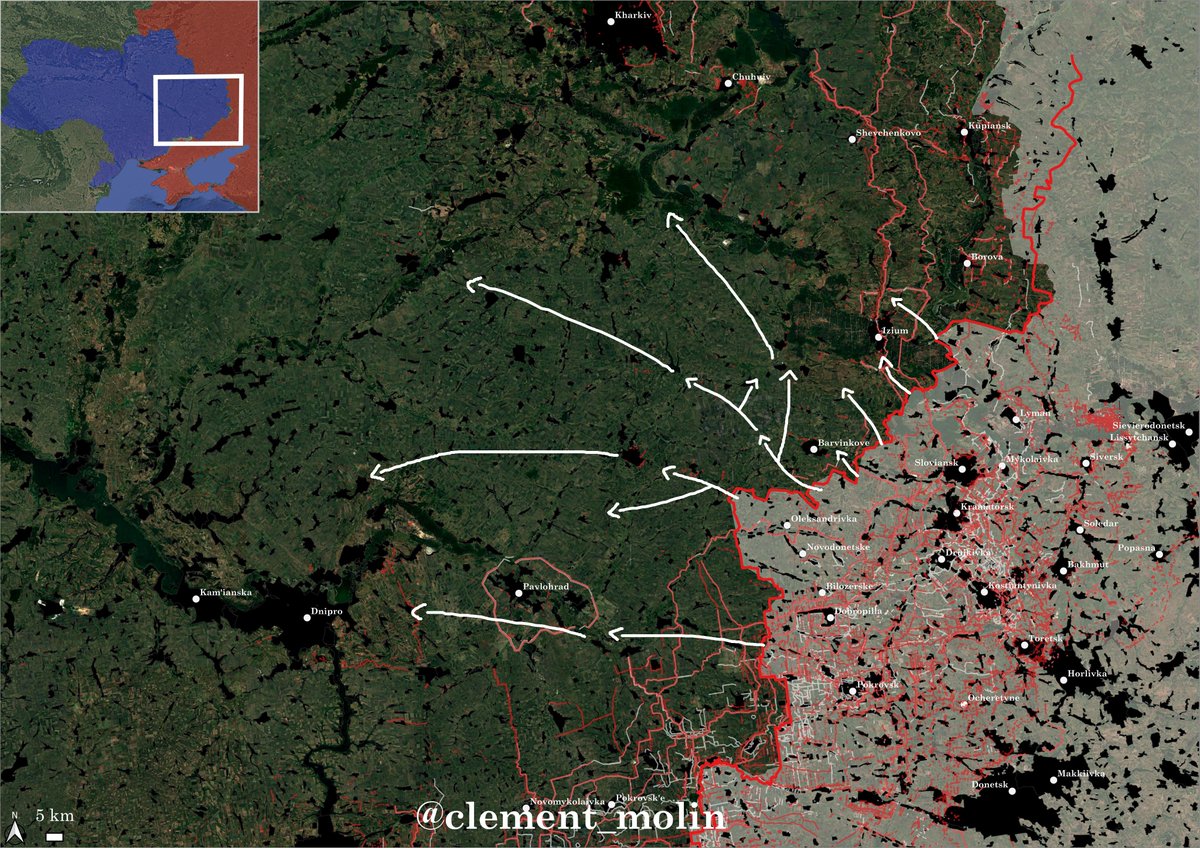
If Russia seized Donbas without a fight, it would be able to push further into Kharkiv and Dnipropetrovsk oblast, slowly threatening Kharkiv and Dnipro.
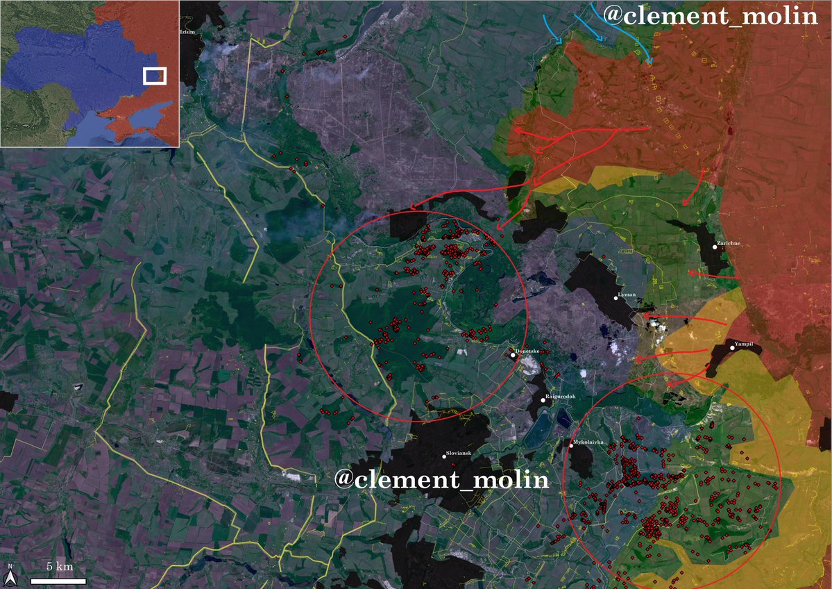
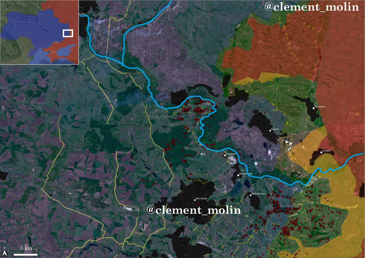
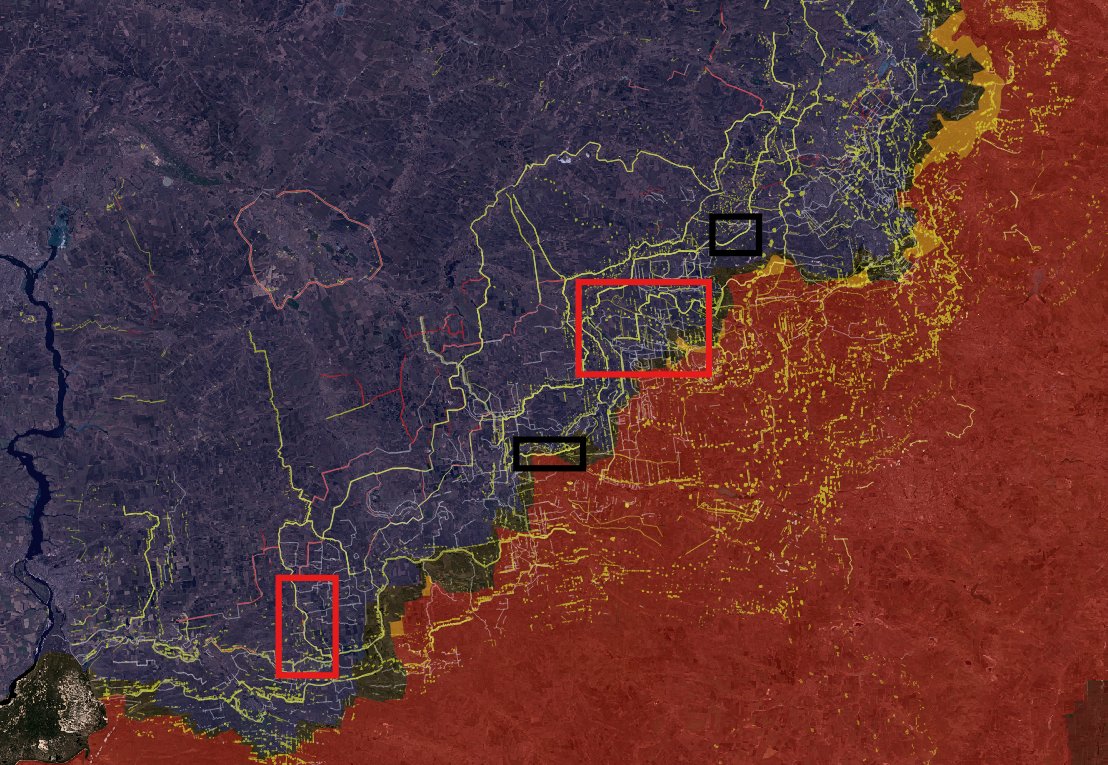
Also this is what new kind of fortifications look like, hell for russians. This one has been holding for more than 8 months already !
https://x.com/moklasen/status/2042349154010030378?s=20
For the record, the only two areas russians reached the New Donbas Line (both time unfinished) are looking last this : nearly no progress in 8 (!) months.
Novopavlivka and Kucheriv Yar.
Next time could be near Hulialpole or near Pokrovsk, probably in the next few months.
Novopavlivka and Kucheriv Yar.
Next time could be near Hulialpole or near Pokrovsk, probably in the next few months.
• • •
Missing some Tweet in this thread? You can try to
force a refresh