
Host of the podcast\radio show Canadian History Ehx. Author of "Canada's Main Street: The Epic Story of The Trans-Canada Highway" Sharing Canada's history daily
 According to some research, the tradition of Moving Day dates back to New France when the colonial government forbid seigneurs (landlords) from evicting tenant farmers from the property (seigneuries) before the winter snows had melted.
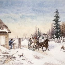
 During construction, the Moses-Saunders Power Dam was built.
 British Columbia:
 In 1963, two priests from Northern Ontario, Les Costello and Brian McKee, heard about a boy who lost the use of an eye. His mother couldn't cover the medical bills so they organized a charity game to raise money.
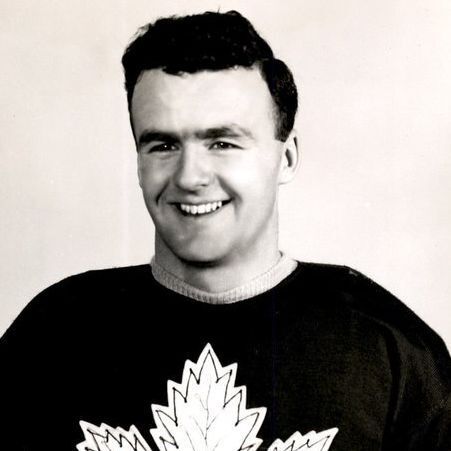
 In November 2004, the Progressive Conservatives won their 10th consecutive majority government. While it was another election win for the party, the party was worried after it saw the popular vote fall from 61.9% to 46.8%, its lowest since 1993.
 In the early-1900s, eugenics was growing in popularity. By the early-1920s, eugenics supporters began to lobby Alberta's ruling party, the United Farmers of Alberta, to implement eugenics legislation. On March 25, 1927, the UFA introduced a sexual sterilization bill.
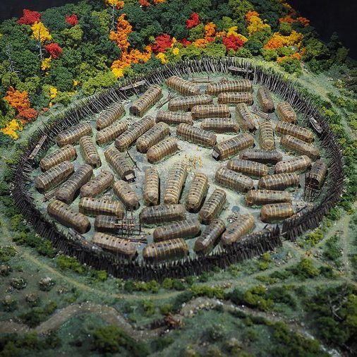 It is not known when Hochelaga first appeared.
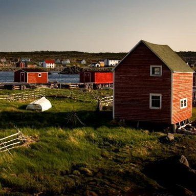 Irish immigrants arrived on the island to work in the late-1600s. Over the next 200 years, the Irish language was used heavily on the island, and became its own dialect. Church services were even done in Newfoundland Irish on the island.
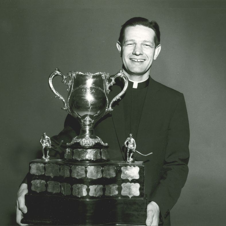 David Bauer was born on Nov. 2, 1924 in Waterloo, Ontario. The youngest 11 children, his family loved hockey. His brother Bobby went on to play in the NHL, winning two Stanley Cups on his way to the Hockey Hall of Fame. David hoped to one day play in the NHL.
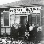 For the first half century of Canada's existence, the only safeguard that customers had with their banks was the competency of management and the hope that assets covered deposits. It was not a good system and by 1923, 40% of Canadian banks had failed.
 Victoria, British Columbia:
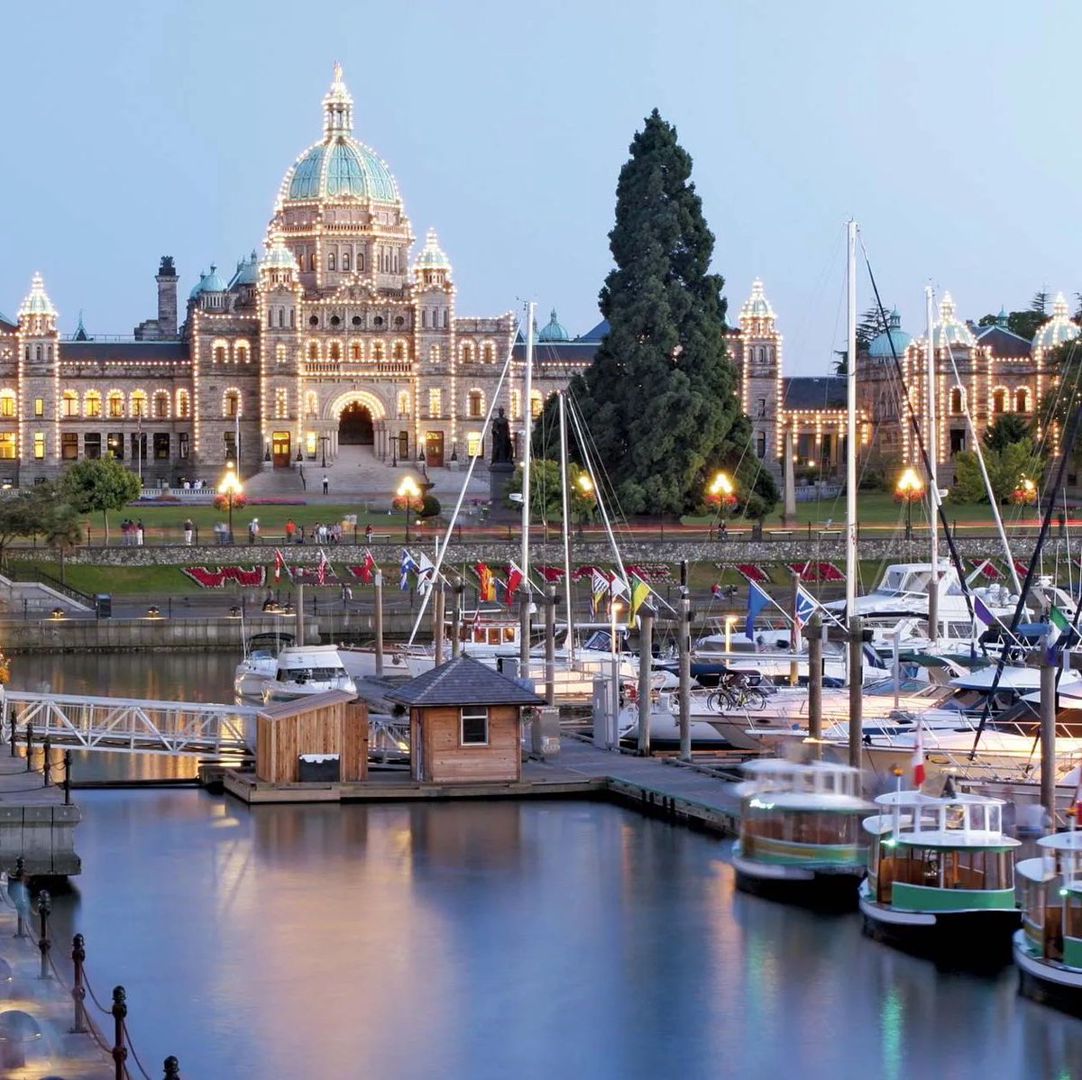
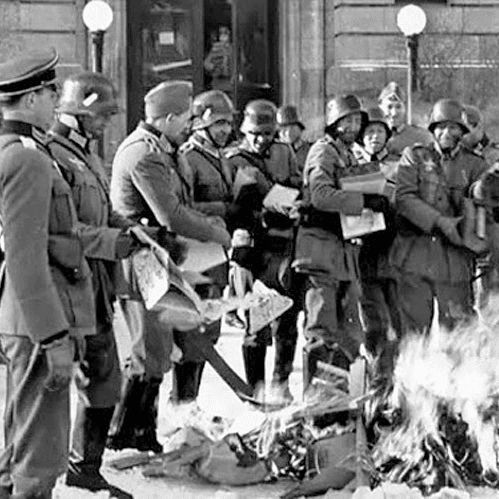
 During the Cold War in 1957, Canada and the United States created NORAD to handle continental air defence against the Soviet Union. As part of NORAD obligations, Prime Minister John Diefenbaker Canada was pressured to put Bomarc missiles on its soil.
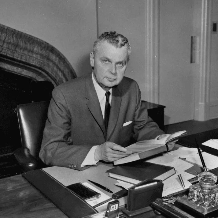
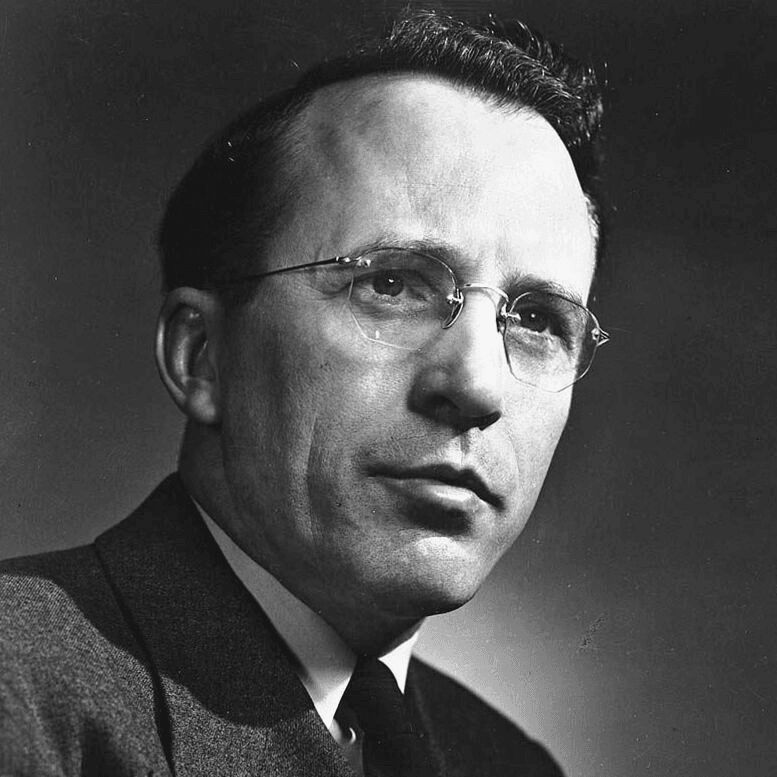 Tommy Douglas was born on Oct. 20, 1904 in Scotland. When he was seven, the family moved to Winnipeg. Around this time, he injured his knee and Osteomyelitis set in. He went through various operations and doctors stated he would lose the leg.
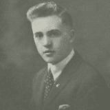
 In the 1950s, with the dawn of the nuclear era, there was a concern that the Soviet Union would attack North America with bombers over the Canadian Arctic.
 During the Second World War, Victory Bond Campaigns were held to raise money for the war effort. On Feb. 16, 1942, the second Victory Loan campaign began and Manitoba decided to go all out. The idea was to show what would happen if Germany invaded Canada.
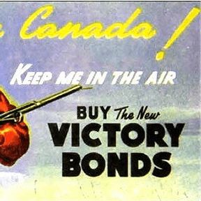
 Lois Hooker was born on Feb. 14, 1927 in Kitchener, Ontario. Soon after, the family moved to Toronto where her father William was the principal of Clinton School. When she was 15, Lois ran away from home to join the Canadian Women's Army Corps after lying about her age.
 Billy Van was born on Aug. 11, 1934.
 The story of milk bags in Canada begins in the 1960s. At the time, milk came in glass bottles primarily. Some producers sold milk in cardboard or plastic jugs.
 When the British North America Act of 1867 was passed, it used the word "persons" to refer to more than one person, and "he" to refer to one person.
 In the 1950s, with the dawn of the nuclear era, there was a concern that the Soviet Union would attack North America with bombers over the Canadian Arctic.
 On Feb. 28, 1885, George Longley, a conductor with the Grand Trunk Railway, arrived in Montreal feeling sick. After visiting a doctor, he was diagnosed with smallpox. While he survived, the disease quickly began to spread throughout the city, infecting thousands.