
Documenting exploration of lost Hong Kong relics. Send us Pocari.
https://t.co/4IvXk2qRiJ
https://t.co/PlyvVFllZ1

 Hkmaps shows two bazaars in the area of what is now Admiralty. Morgan's Bazaar has a byway stretching behind it; perhaps that was Broom Lane?

 Raised platforms, bits of tile and hand-poured concrete stairs are all that remains. Maps from the 1970's already list the area as containing ruins so perhaps they were resettled in Wah Fu Estate - but artifacts from the 80's suggest otherwise.


 The 230th began their climb near today's Kwai Hing MTR station. Assuming that D Coy held the Golden Hill peak, we took the northern path, figuring that the attacking Japanese would feel more confident if they were closer to the 228th. Images from digital.lib.hkbu.edu.hk/1941hkbattle/e…


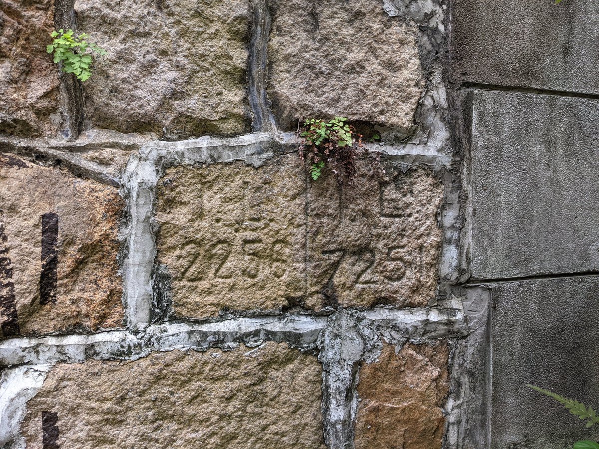
 Set into the ground is an access panel for the Public Works Department, which from 1871 to 1986 was responsible for electricity, lighting, reclamation, waterworks etc in Hong Kong.