Reference Videos:
 Before we begin, it is necessary to note that, as this update only occurred today, it is only available on the Google Earth "Pro" application, available on PC/Laptop, not on the web version.
 Popular Army - Northern Forces.


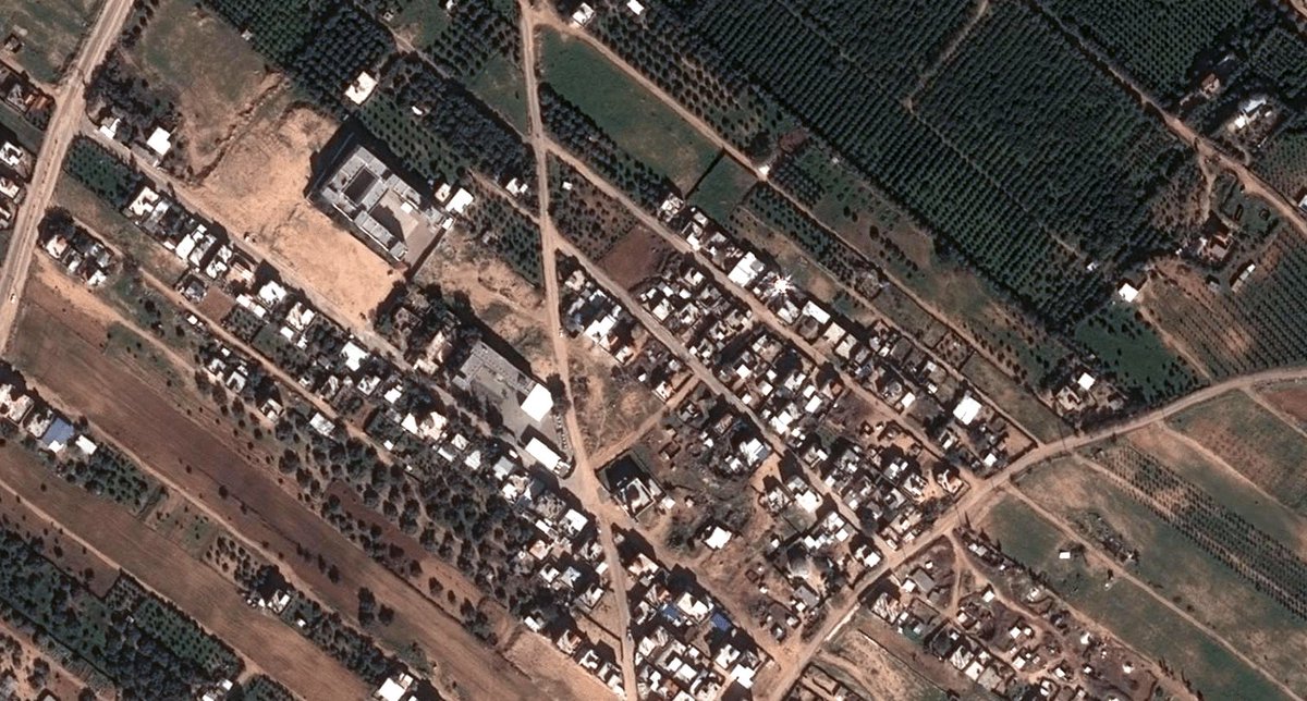
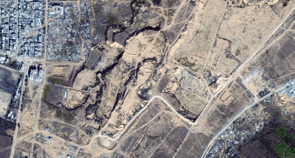
 Sentinel-2 images confirm that the IDF conducted a raid on the village of Dibbine just before the ceasefire.
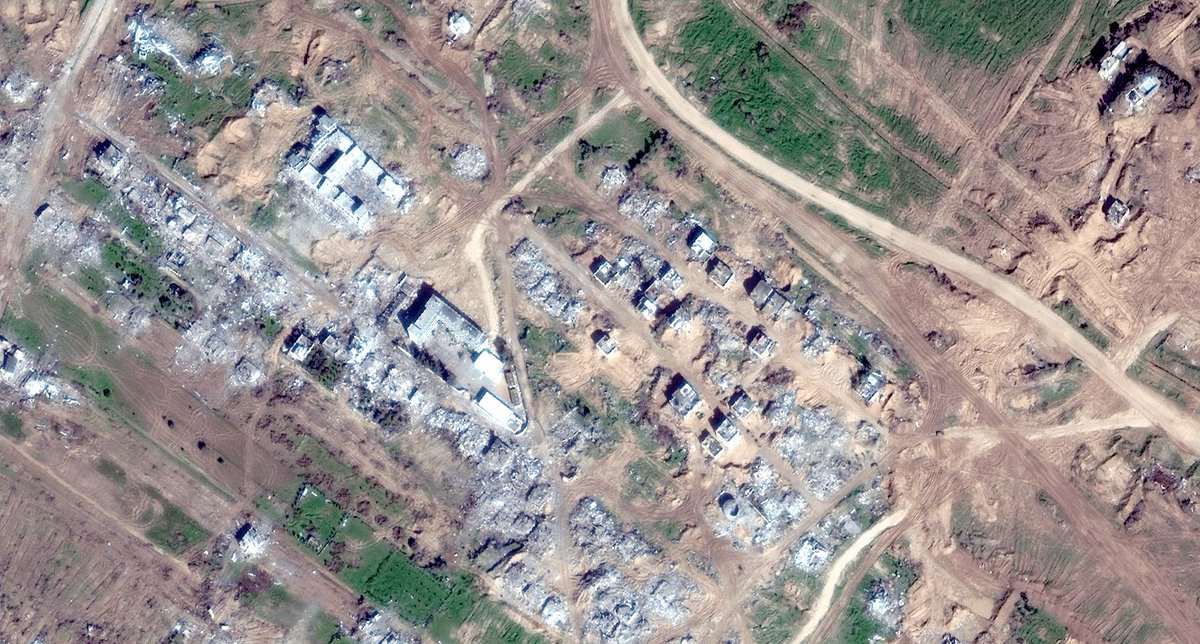
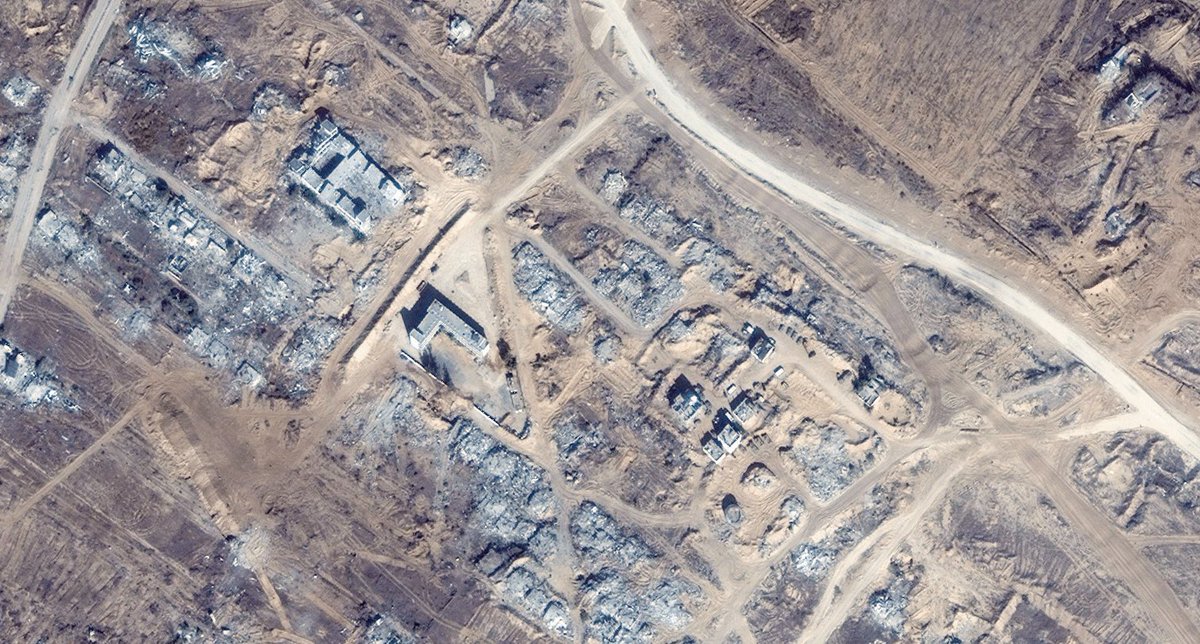
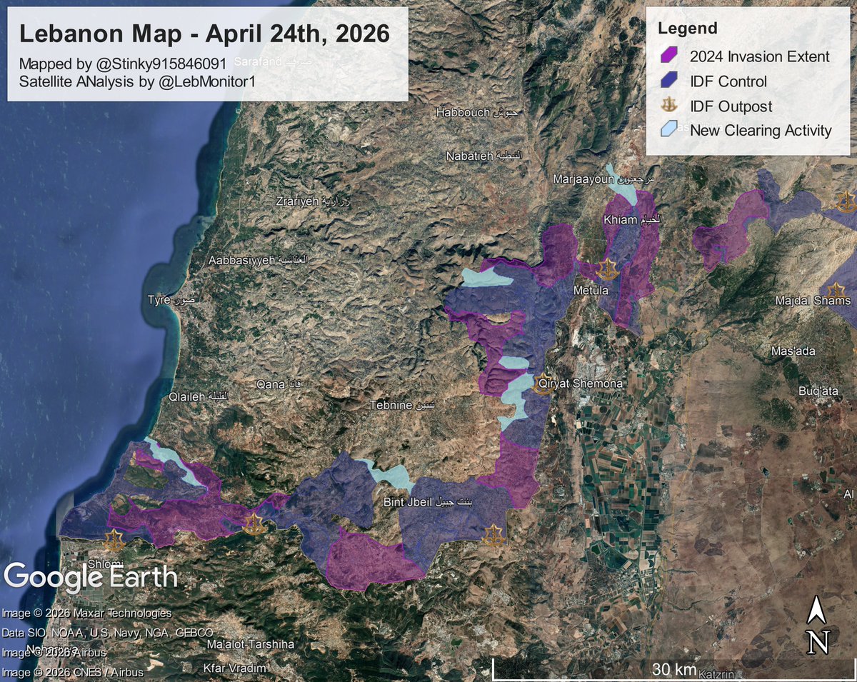
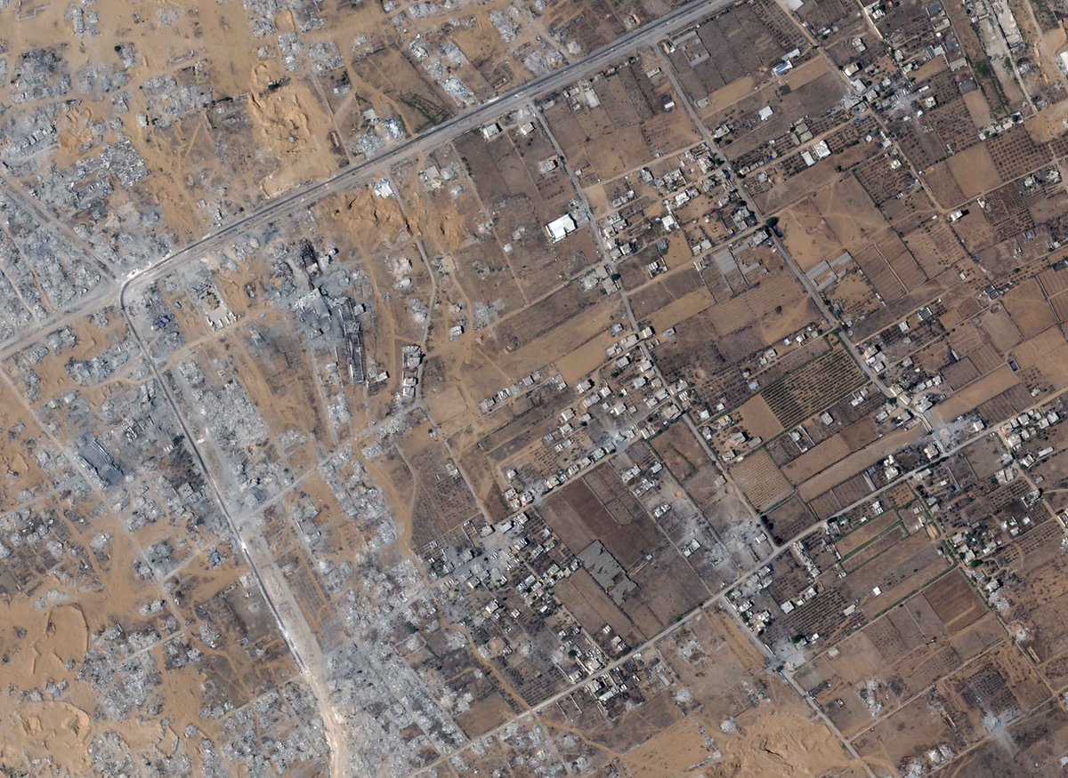
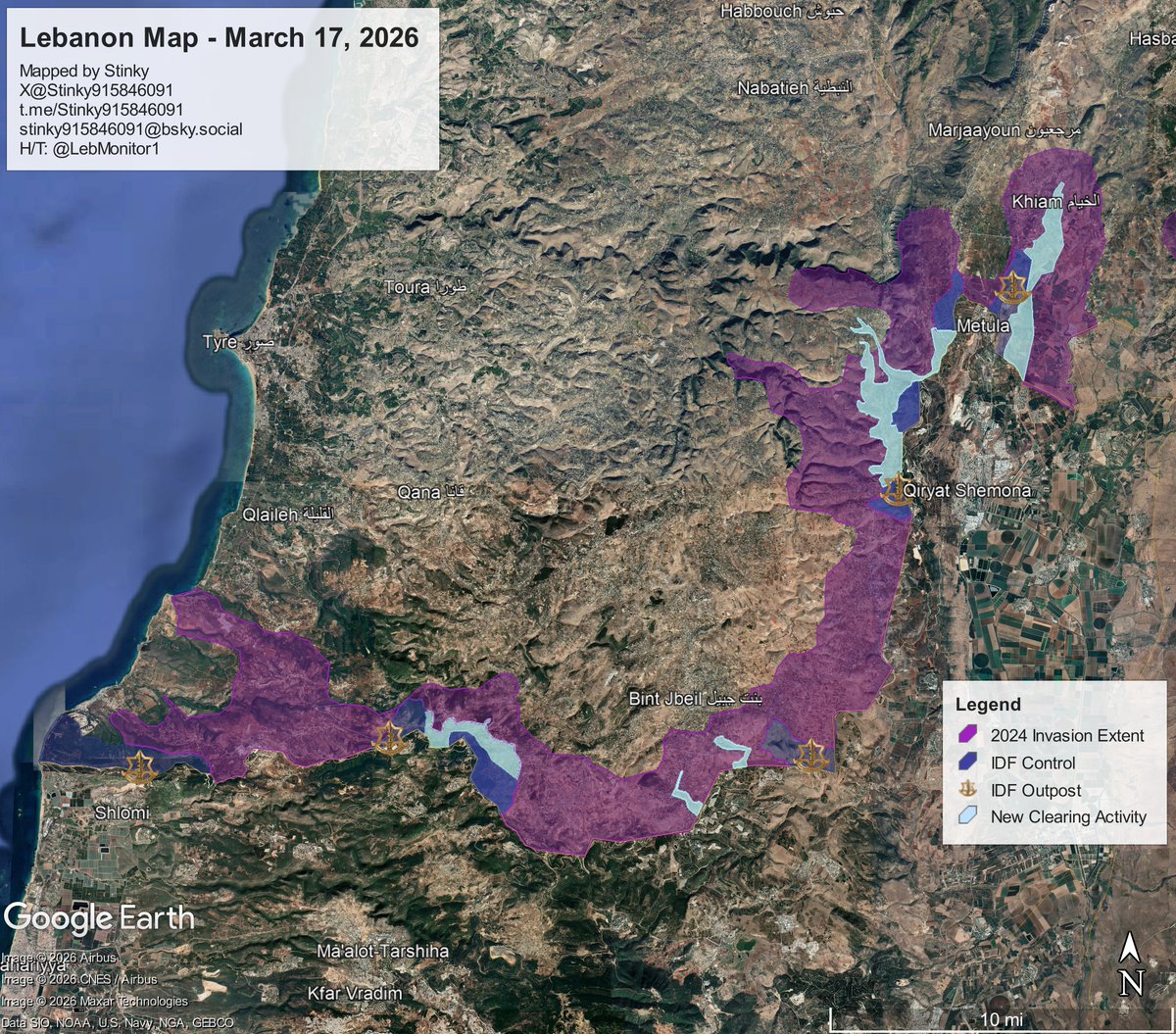 Since the last update, the IDF has taken control of most of Khiam, and Sentinel-2 imagery from @Soaratlas shows demolition activities in the eastern portions of the town.
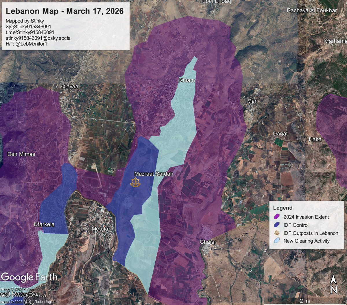
 Disclaimer: this update as of posting, is only available on the Google Earth "Pro" app, not the web version that you can get on your browser/phone.

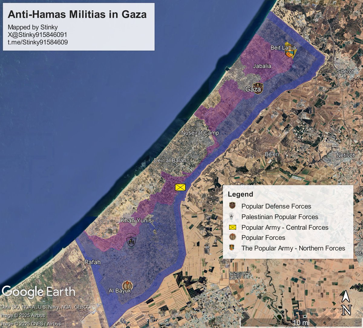 Popular Forces
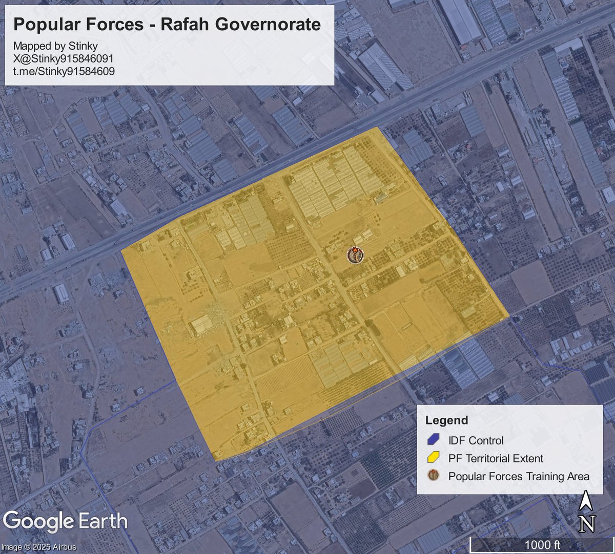

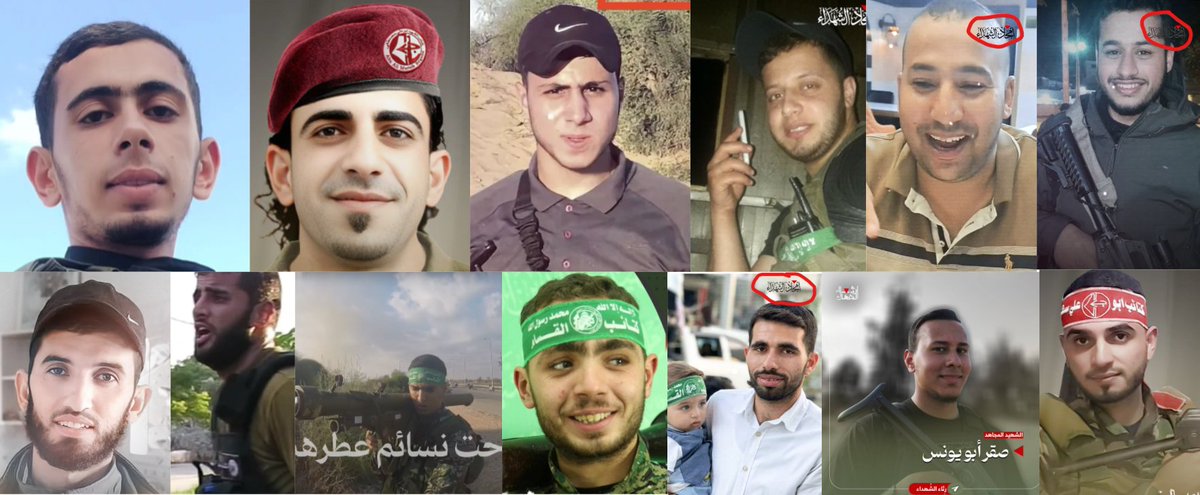 Note that not all details will be 100% accurate. Any additions to the circumstances of a militant's death will be appreciated.
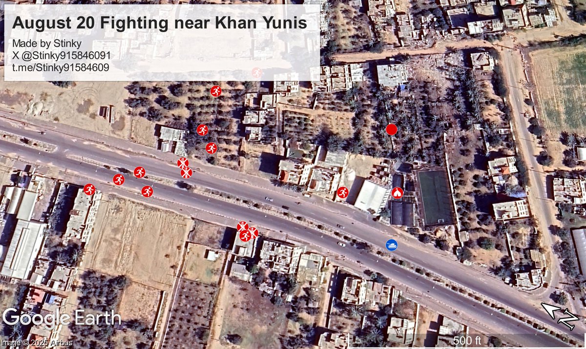 Firstly, the video starts off with a militant climbing out of a tunnel and showcasing the area around, one can see old cell towers along Salah Al Din road. The POV is located approximately here (see tunnel in quoted tweet)
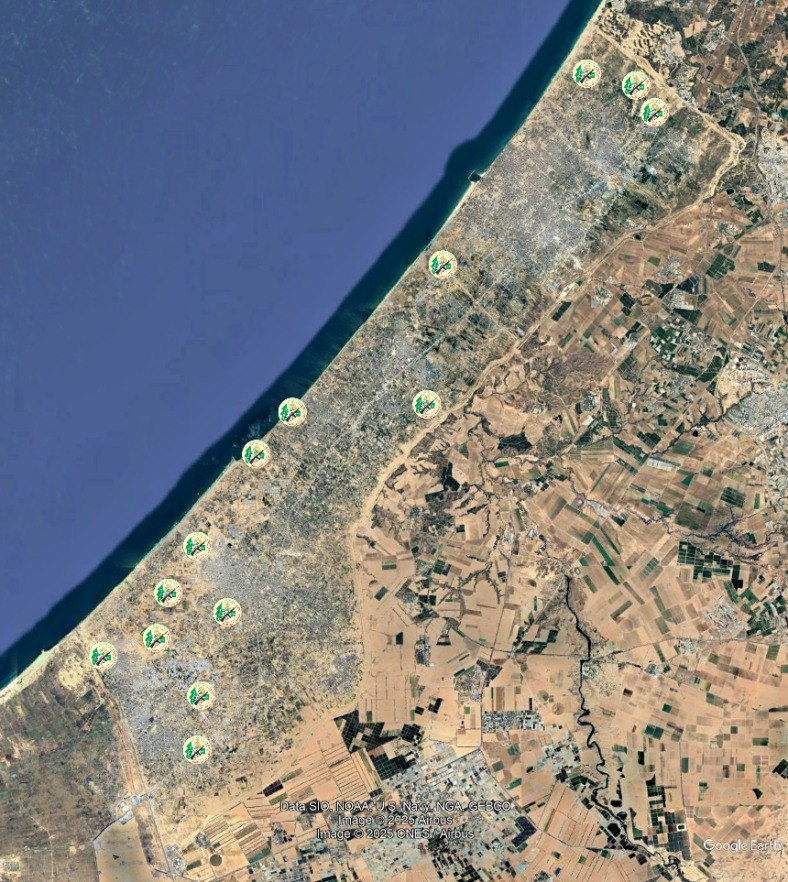 Nissanit base.
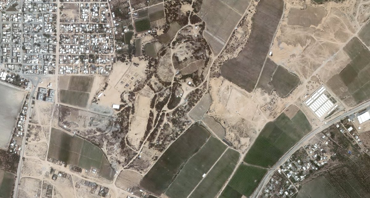
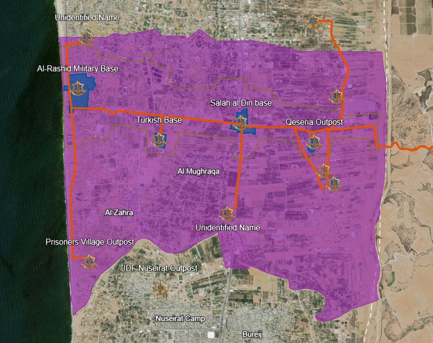 First off, Qseria outpost, in Juhor a Dik.