
Sourcing info on Climate, Immigration & Human Impact | No Noise | Just Data | 🌱
Support the Planet & her Oceans 🌎 | Professional em dash user —
 A federal judge already ruled on this exact scheme back in January, and called it out by name.
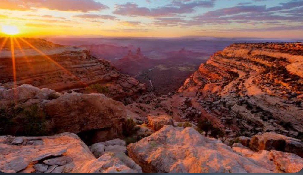
 A ranger walks a burned grove and finds something backwards: the trees the government planted are dying, and the ones nature reseeded on its own are thriving. National Parks Traveler dug into why the "rescue" bill might be solving a problem that isn't real.
 → The rule is final and the lawsuit is already filed - the Center for Biological Diversity breaks down exactly what was just taken from the public and what it means for every forest, every wolf, every bear on federal land:
 → Nevada Current breaks down how Velvet-Wood became the first project ever approved under Trump's energy emergency, the Burgum quote calling it a "mineral security" win, and the five tribal nations whose concerns got steamrolled anyway.


 → The Guardian just talked to the Tahoe locals living this story right now: a retiree horrified to come home to spray plans, a charter boat worker watching her brother fight cancer while the agency insists trace amounts are fine, and the South Lake Tahoe mayor who didn't even know glyphosate was still legal on public land until this year.
 → Ten miles from Yosemite's gates, the ground is already being mapped for wells. Outside breaks down exactly which parks, monuments, and forests are on the table, and why 200,000 public comments didn't slow it down: outsideonline.com/outdoor-advent…
 → Backcountry hunters and anglers are sounding the alarm too - and when the hunting community and environmentalists are saying the same thing, you know something has gone very wrong. Outdoor Life breaks down exactly what was just erased and why it matters to everyone who loves wild places.
 → The full breakdown of what's in this land swap - the acreage, the wildlife, the 25,000 public comments that got ignored, and who's suing to stop it. Outdoor Life did the math and it doesn't add up:
 → Audubon lays out exactly why roadless forests aren't just scenery — they're climate refuges for hundreds of bird species on the edge of extinction, and why even limited road construction could be the thing that tips them over.
 → The vote that just killed Big Bend's last legislative shield — and what it means for the park, the river, and everyone who fought to protect them. The Texas Tribune has the full breakdown of how each rep voted and what comes next:
 → NOAA published the official bulletin confirming exactly what gear is now permitted and where inside the monument - and the details are more alarming than the headline.
 → The lawsuit: Courthouse News breaks down exactly how federal agencies rewrote grizzly habitat standards behind closed doors — and why conservationists say it's a legal shell game designed to greenlight logging. This one's worth your time.
 → Inside Climate News broke down exactly how Burgum rewrote a
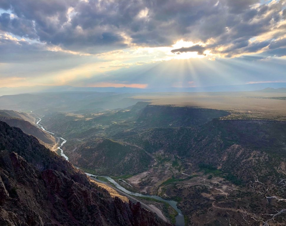 → Sen. Heinrich stood at the Rio Grande Gorge and said out loud what most officials won't — that we could actually lose this. His words, his crowd, his warning:
 🔎 This goes deeper than the headline. ForestWatch maps out exactly which landscapes just lost protection — condor sanctuaries, endangered species corridors, desert grasslands most people have never heard of. If you want to know what's actually at stake on the ground, this is the read.
 A former Trump Interior Secretary forms a lobbying firm.
 Full Story: