Archaeologist @EFEO_Paris using computational/geospatial methods to understand landscape change from past to present, focusing on wide-area lidar in SE Asia.
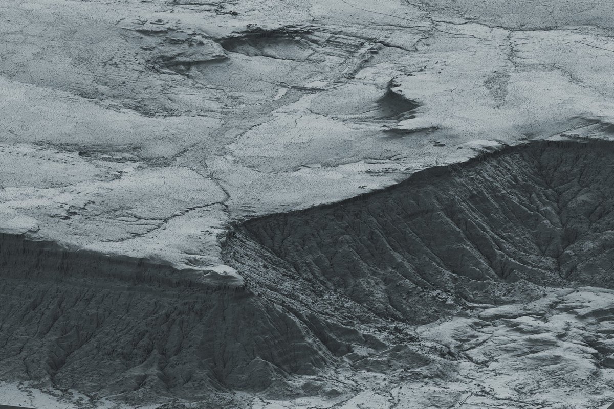
 @ephtracy The paper that we released last week describes a city up on a forested plateau near Angkor. Here you can see the sandstone valley up top that they tried to carve into a reservoir. There's features all around & a canal leading over the cliff sending water down to quarries below...