 Access means to benefit. The beach, the water, everyone is entitled access to it by law.
 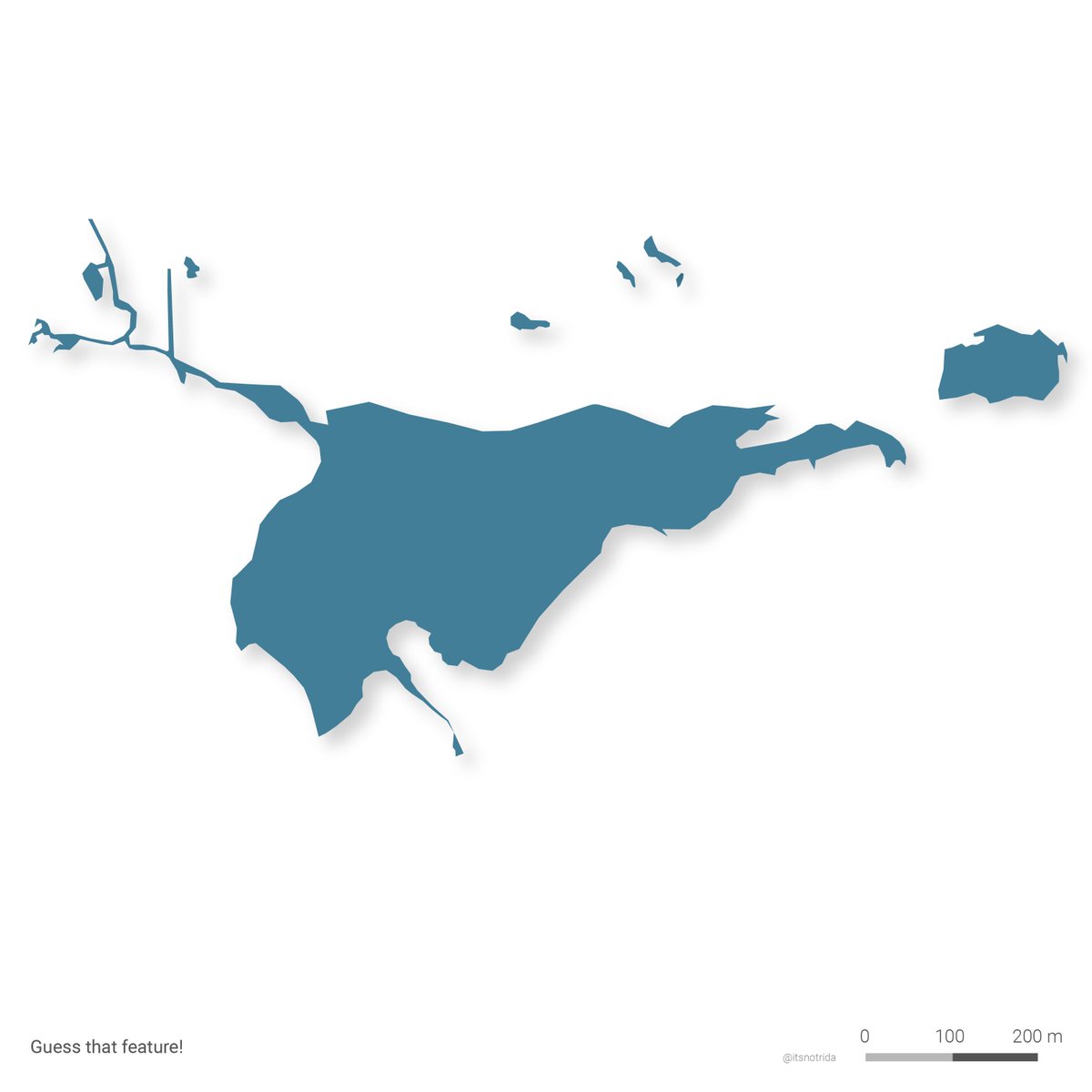 It is Lake Neglect-e-Karachi, an unapologetic sewage outfall on the city's most accessible public beach- "ghareebon ka sahil"- situated a short 10-minutes walk from Bilawal House. A casual fact.
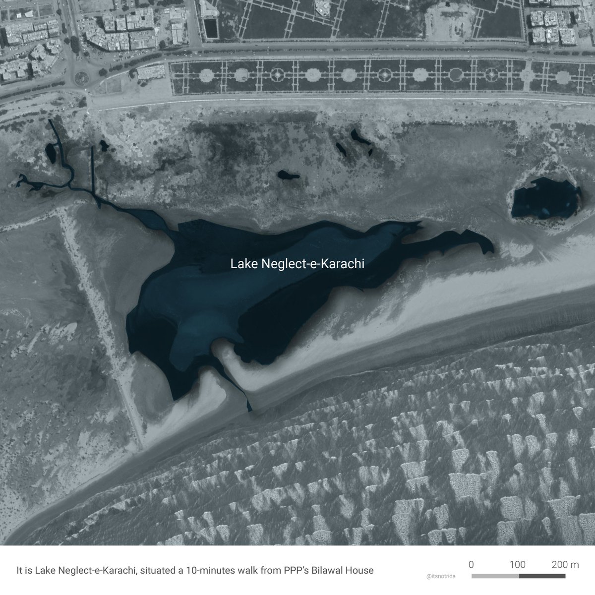

 The Master Plan is dominated by the same old luxurious single-family lot size at a time the world over is moving towards densified developments, mindful of resource scarcity accelerated by climate change.

 1. A goth choked between the boundary. A lucky one because the bar is low.
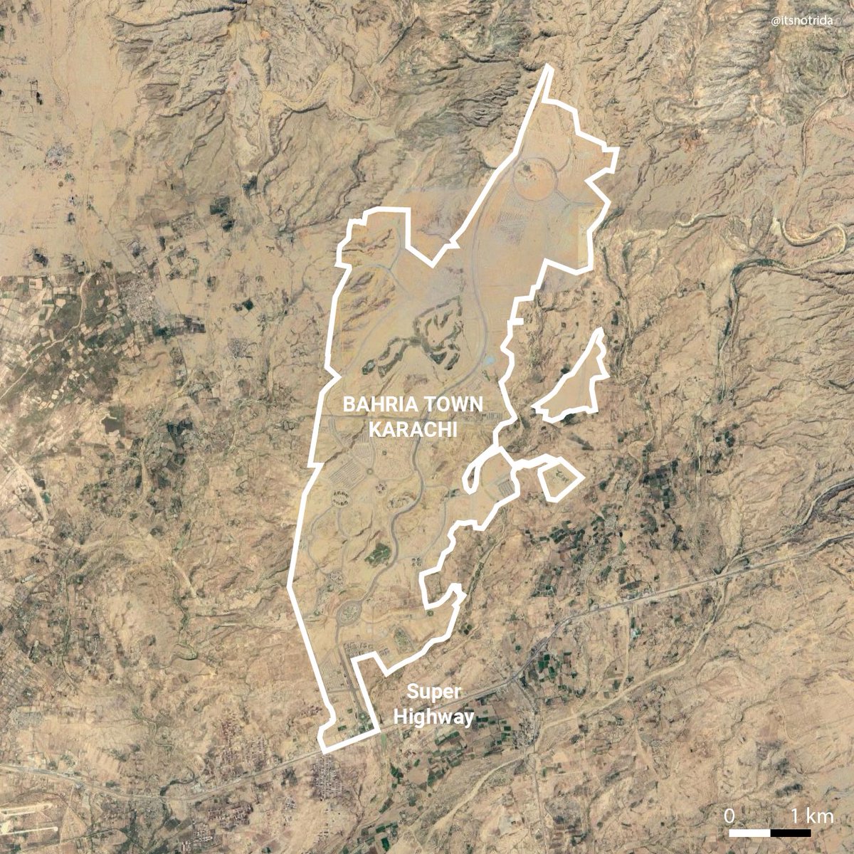
 Image: Bahria Town Karachi overlay on Lahore
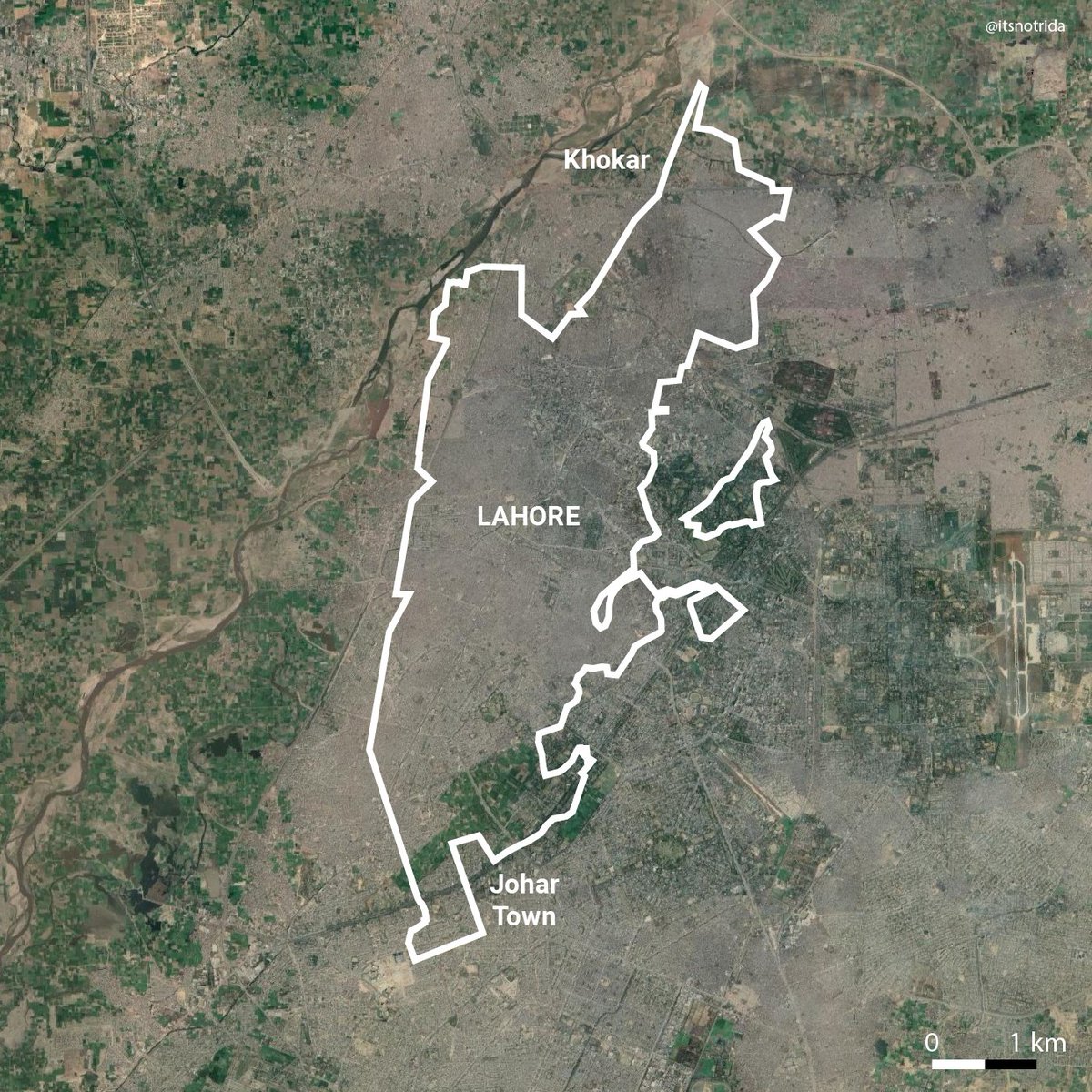


 Linked to maps of encroachment by Bahria Town here:
