Zeb Palmer Profile picture
IT Operations Manager #remote Systems Engineer, Python Dev, SRE, Linux, Devops, Kubernetes. Photography, weather, occasionally piloting aircraft #avgeek
Sep 9, 2022 28 tweets 9 min read
Alright, been a busy real job day, but finally time for a #MooseFire update thread. This will be a slow thread, I'll post things as I go through different data sources.
The fire is listed at ~125k acres, growing just over 2k acres yesterday. 🧵I'm only going to focus on the fire as it relates to threatening Salmon. Elsewhere, the fire isn't doing much. Here's today's official PIO map. (I'll call out any official maps I use)
Sep 9, 2022 5 tweets 2 min read
New Fire!

As of a few minutes, ago, Southern Idaho Interagency Dispatch logs confirm they are working an Initial Attack Fire near Cherry Creek just south of Galena Lodge. Fire doesn't have a name yet.

The Galena area is now under a "SET" evacuation status. wtf, where'd the extra , come from? sigh...
Sep 8, 2022 6 tweets 3 min read
Alright, we're heading into the evening. Been away from twitter doing the thing that pays the bills for a bit. about to take a look at recent fire info. TLDR: everything is still burning... Several new fires from last night and this morning. A lot of heat in central Idaho & surrounding area right now.
#MooseFire #RossForkFire #RainbowFire #FourCornersFire #TrailRidgeFire #AllTheOtherFires
Sep 8, 2022 6 tweets 3 min read
NEW IR DATA! #MooseFire
This is from the nightly IR Mapping flight, which overflew the fire a couple hours ago at approx 12:15am
Red is previous IR perimeter (which was a very controlled fire weeks ago)
Yellow & Orange are the current blowup
(I'll 🧵 a closer look and comments) 
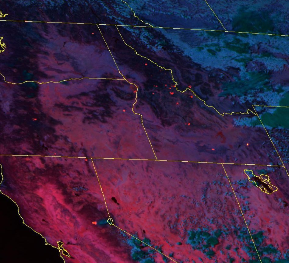
🧵a closer look at fresh IR data shows fire approaching sagebrush in Wallace creek and *just* barely into Jesse creek (Salmon's municipal water source)
It does not appear that fire has crossed the powerline to the south.
Sep 8, 2022 12 tweets 3 min read
Ok, let me put on my optimistic hat for a moment for #MooseFire and then, I'm going to do something I try not to do. Speculate. a🧵

First, here's the most recent 🛰️ pass of Tera (MODIS) as of 20 minutes ago. Image It shows fire well-established E of contingency line. But (optimistic hat) not well established in Jesse Creek drainage. Jesse creek is the town's municipal water supply.
Sep 8, 2022 4 tweets 2 min read
**BREAKING**

#MooseFire HAS CROSSED THE RIDGE ROAD FIRE BREAK. CROWN FIRE VISIBLE FROM SALMON

This is the scenario we've been dreading for decades. Image Fire crews will be preparing to light burnouts on the edge of Salmon. This is a worst-case scenario.
Sep 8, 2022 4 tweets 2 min read
"Unfortunately, the ridge road isn't a good position to hold this fire... If it does cross the ridge road, we will be downslope towards Salmon burning above the homes to protect Salmon"

Rough quote from #MooseFire briefing moments ago. 1/2🧵 This basically means, in this weather, it's not safe for crews to try to hold the ridge road fuel break & I agree.

We're at a real risk of losing Salmon's municipal water source tonight. It's up to the wind at this point.
Sep 7, 2022 9 tweets 4 min read
#RossForkFire end-of-day thread:
1/? 🧵 2) we're still hours away from the next higher-res VIIRS 🛰️pass. The latest (good) data I have is from 3:30p (left) and lower res MODIS from 10:30p (right) which doesn't show much heat at all. 🧵 ImageImage
Jul 15, 2021 32 tweets 6 min read
The year we thought Salmon would burn 🧵(And it almost did)
21 years ago today, the infamous Clear Creek #Fire on the Salmon-Challis NF (where I worked) made its 1st epic run, 8+ miles & over 20,000 acres in just a couple of hours. 1/? I worked for the Salmon-Challis NF, I had been their web dev for a few years, but had been transitioning more to telecommunications & Emergency Comms response. (FFT2 & COMT on my red-card)