Operation Lafiya Doyle air strikes on "Boko Haram" locations in Borno State by Nigerian Air Force on 25 June saw some pretty heavy bombing of remote villages. "Tongule Village" was one of the heavily hit areas. Its location is: goo.gl/maps/x54V7awcV…
One of the strikes landed in the east side of the village, but looking at imagery from 2018 shows strikes took out a chunk of the village back then too. The box in red was an earlier strike from mid-2018. The June 25 bombing seen in screenshot landed here: goo.gl/maps/iVuGVwF4u…
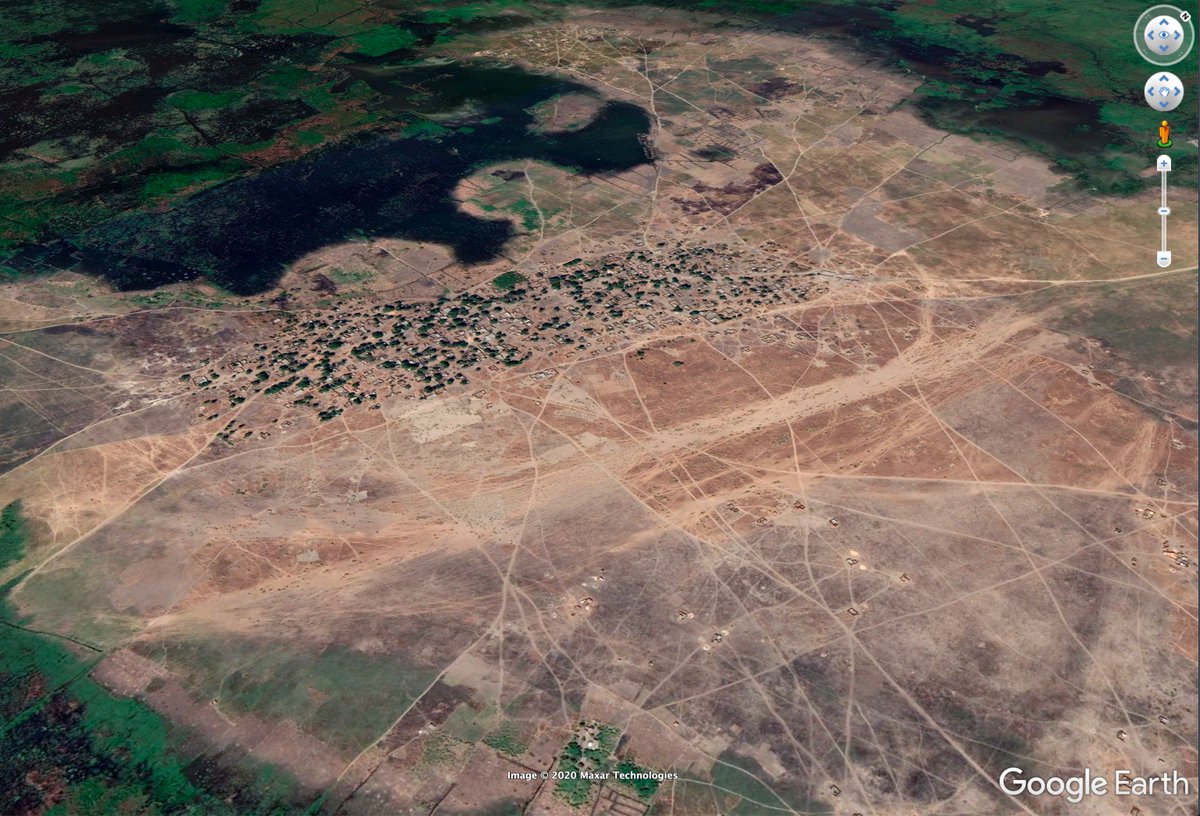
Second village in OP Lafiya Doyle bombing was "Bukar Meram" near Lake Chad. It is located here: goo.gl/maps/9psdr6gzs…. H/T @TomaszRolbiecki. Just like Tongule village, Bukar Meram had been bombed in the past (2019) as it was an alleged #ISWAP camp.
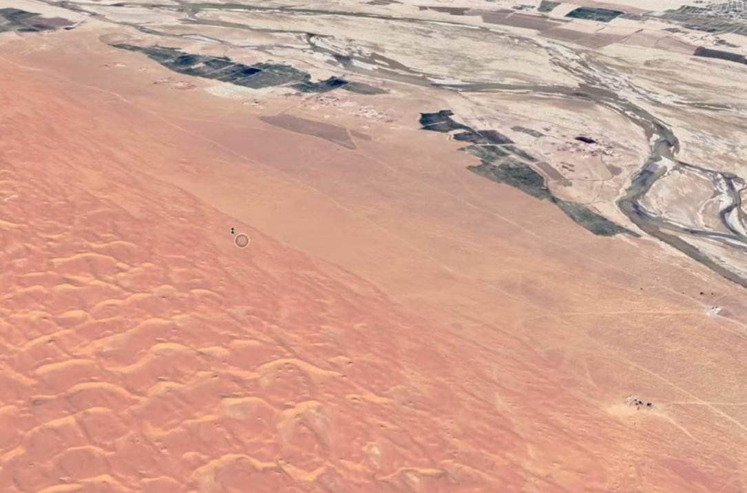
Geolocation of Bombing of 'Boko Haram positions' in 'Mina' Village, Nigeria, July 3 2020, as part of the continued strikes by Nigeria in OP Lafiya Doyle. Location of the village is here: goo.gl/maps/3t2f31HpK….
This same village targeted yesterday for its Boko Haram 'logistics facilities' was also bombed heavily on 5 March 2020 targeting areas used as 'ISWAP hideouts' ().
Recent strike on Mina is interesting as it is only 20km from Limani, on the border of Cameroon. The area hasn't had as much recent (post-2018) activity as areas closer to Lake Chad or Sambisa Forest.
Something I am working on is mapping activity (BH/ISWAP) with destroyed villages (attributable to BH/ISWAP/strikes/abandonment.
Map shows:
red (deceased village)
black (Mar 20)
green (Feb 20)
purple (Jan 20)
blue (2019+ activity)
grey (2005-2019)
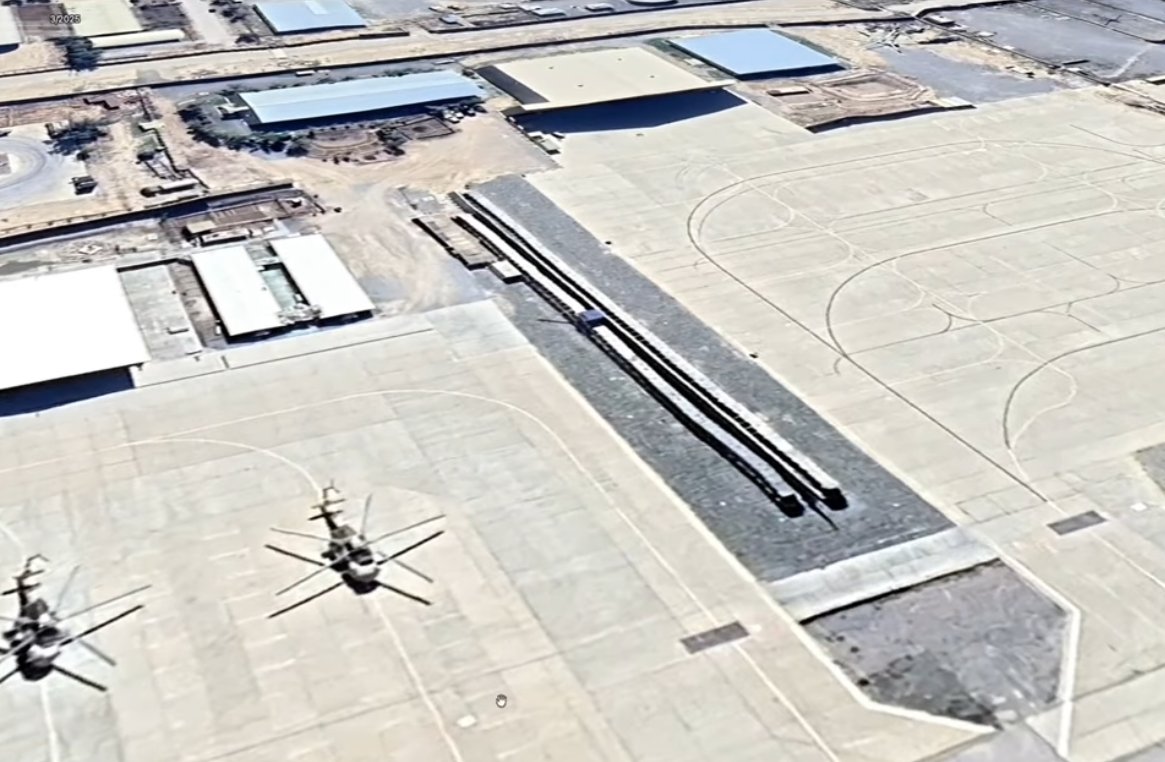
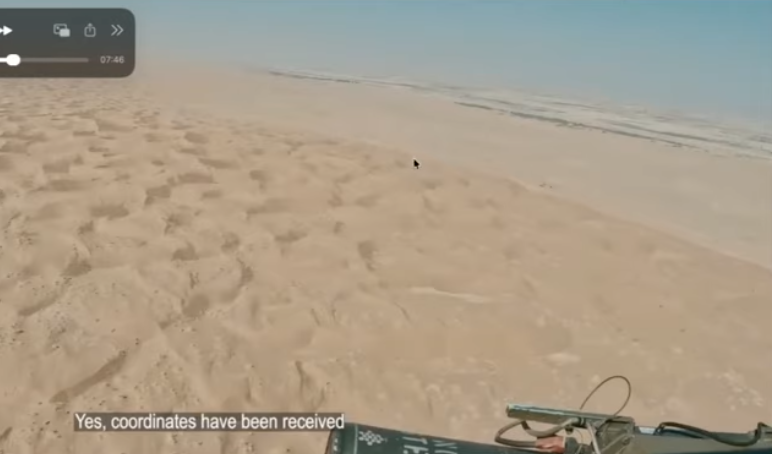
Recent NAF footage shows aerial support against Boko Haram attack on Nigerian Army defensive positions in #Gubio (81km N of Maiduguri) here: goo.gl/maps/h9WAXq1ie…. Note the deep trenches seen around the town, here's a closeup:
Today US DoJ announced seizure of two domains and the search of 968 accounts on X used in a "Russian-government backed campaign" to spread disinformation.
Affidavit includes all of the accounts requested from X 👇
The DoJ announcement said the campaign used elements of AI to create fictitious social media profiles purporting to belong to individuals in the United States, which the operators then used to promote messages in support of Russian government objectives. justice.gov/opa/pr/justice…
The affidavit for the accounts on X shows that all of the accounts were registered to email addresses that were either using the domain 'otanmail' or 'mlrtr' justice.gov/d9/2024-07/aff…
A new coordinated network of fake accounts pretending to be ‘Real Sikhs’ is targeting activists, stoking tensions and promoting Indian Govt narratives.
Who are they, what do they post, and how do they spread their campaign? Report:
Let's take a look 👇🧵 info-res.org/post/return-of…
Before we start, it's important to note that this is not the first time we have exposed a network like this at @Cen4infoRes. In Nov 2021 we identified a similar network. But in the months after the accounts were removed, new accounts popped up.
In this new network, what we do know is the network of fake accounts posts content to undermine Sikh activists, stoke cultural tensions and promote Indian government narratives. But who are the accounts, and how are they posting so that we can catch future attempts?
In April, CNN journalists were led to the 'home' of Haitian gang lord Vitel’homme Innocent and interviewed him. He is on @FBIMostWanted's Top 10, with a bounty of up to $2 million.
I mapped their drive and found his home here: 18.5278, -72.2314. Here's how👇🧵
First, I did this because knowing the location of where a gang lord responsible for horrible violence is helpful, even if he might not be there after CNN visited. Vitel is the leader of Kraze Barye and is on the @FBIMostWanted list for taking hostages, and sanctioned by UN.
This is the footage I used to geolocate Vitel'Homme Innocent's house, where the interview was conducted. I'll go through some of the scenes to provide proofs of how I made the geographical matches, using Google Earth.
Google Earth has updated the whole of Sudan's El Geneina to reveal the disturbing scale of damage which happened during a reported ethnic cleansing campaign over the past year by the RSF and allied militias. Images shows #elgeneina from 2022 & 2024. More in the thread below 👇
Looking at the destruction visible on Google Earth, it's clear there were large areas targeted in El Geneina's west and east. It's worth noting that some of the shaded areas in the east had remainders of where there was previous destruction from clashes prior to 2023.
The destruction can be clearly seen in this area on Google Earth, just west of the centre of Darfur's El Geneina. The comparison is of Oct 2022 and April 2024. This satellite imagery is just a visualisation of the horrors that were committed by the RSF in its campaign.
The situation in the Darfur city El Fasher (الفاشر) is extremely concerning. It's the last city not under control by the dangerous Rapid Support Forces and has been a safe haven for those fleeing attacks by the RSF.
It is now a city under siege and in a grave situation. /1
According to @MSF, a paediatric hospital in El Fasher was damaged due to the ongoing fighting. MSF ground staff reported a Sudanese Armed Forces air strike exploded nearby causing the damage. Two children died in the ICU. /2
An update on Sudan's El Fasher from @MSF on May 15 indicated that since fighting began on May 10, 454 casualties had arrived at South Hospital in El Fasher. It was reported that 56 died, but that the wounded and death toll would be higher. /3 msf.org/sudan-nowhere-…
Google Earth has updated its satellite imagery of many parts of Sudan. Looking over West Darfur city of El Geneina, I am shocked at the level of destruction. In some parts, whole areas have been destroyed and cleared. Location: 13.4469, 22.4151 (dates: April 2023 & March 2024)
The burn damage around El Geneina's specialised hospital is incredible.
It's not just the widespread burning of structures that we see in El Geneina, as a result of the ongoing violence in Sudan, but there are also clear indications of structures that have been removed, like these warehouses, located at 13.43324, 22.41364