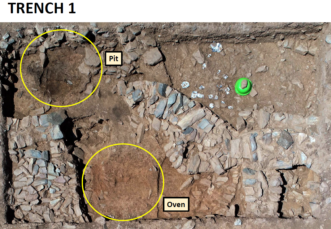
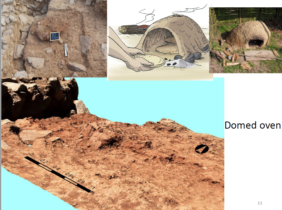
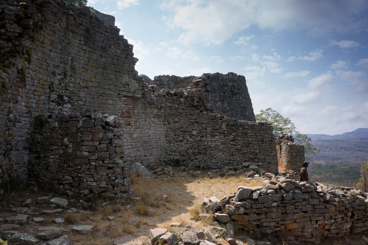
This archaeology thread (with GREAT photos & video) shows how archaeologists uncover the prehistoric past
cc: @NorwInst
/1
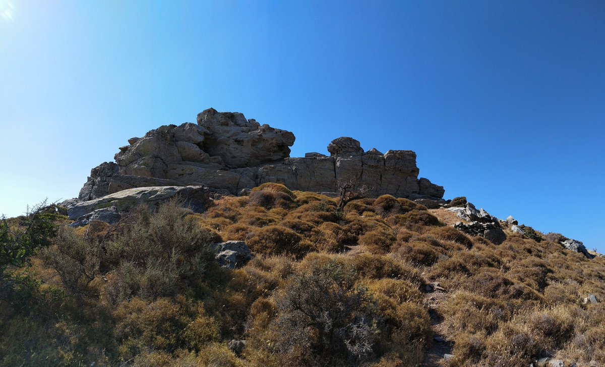
It’s on a low ridge separating the Karystou plain to the south and Katsaronio plain to the north. The inhabitants had easy access to the plains all the way to the sea
/2
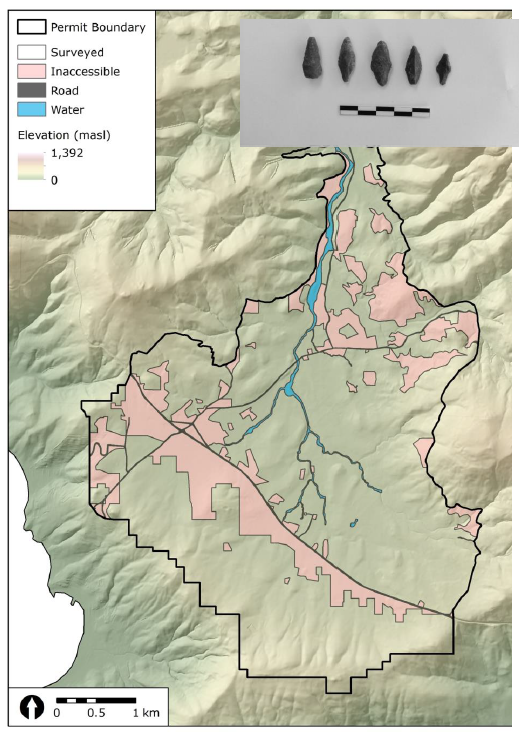
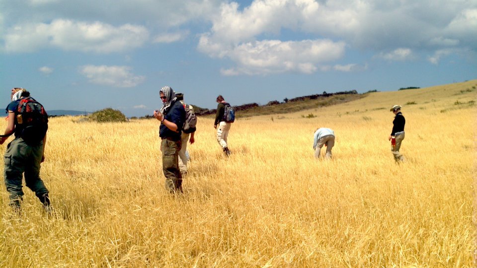
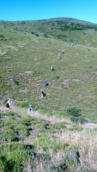
@ztankosic, co-director of the project, started surveying here in 2004. A field survey is a big job. Archaeologists line up to cover all the ground and record pottery, stone tools, architecture & more
/4
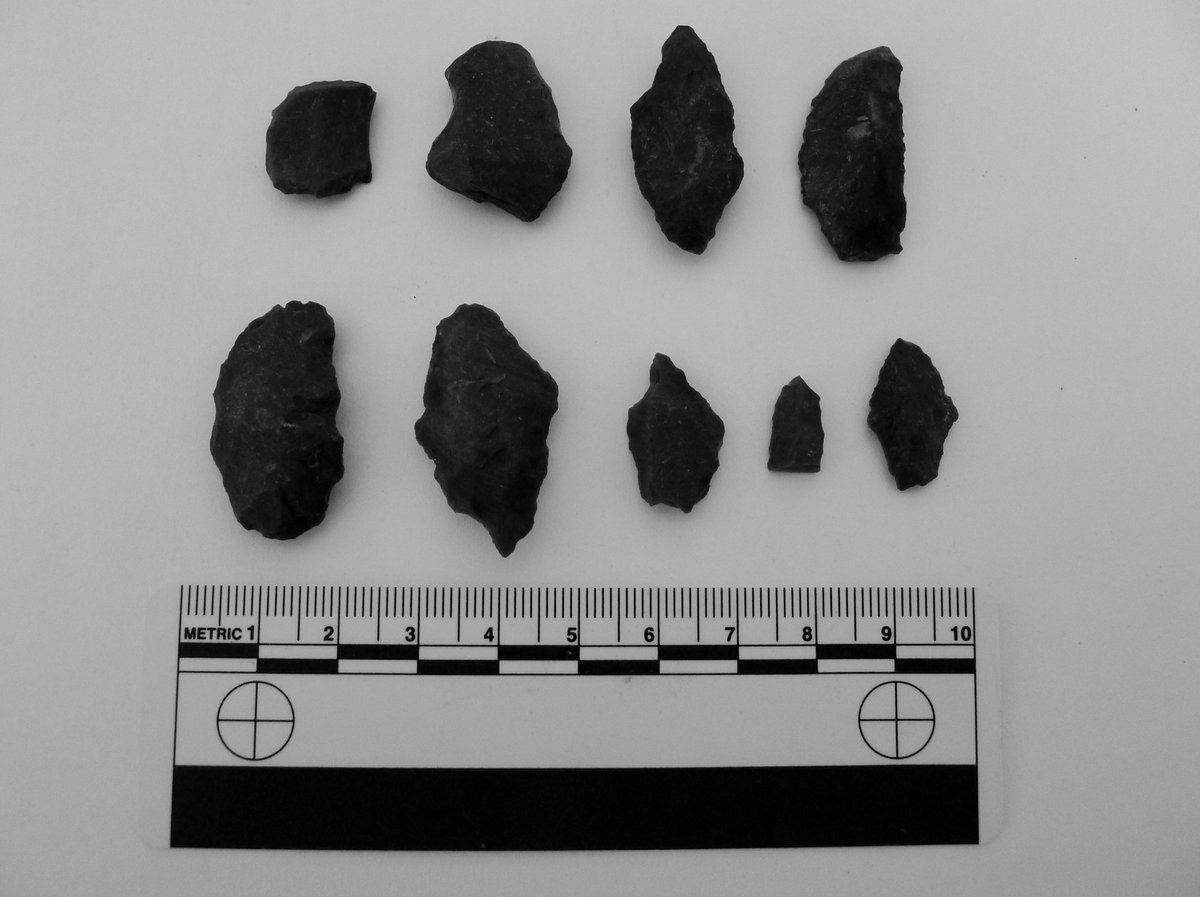
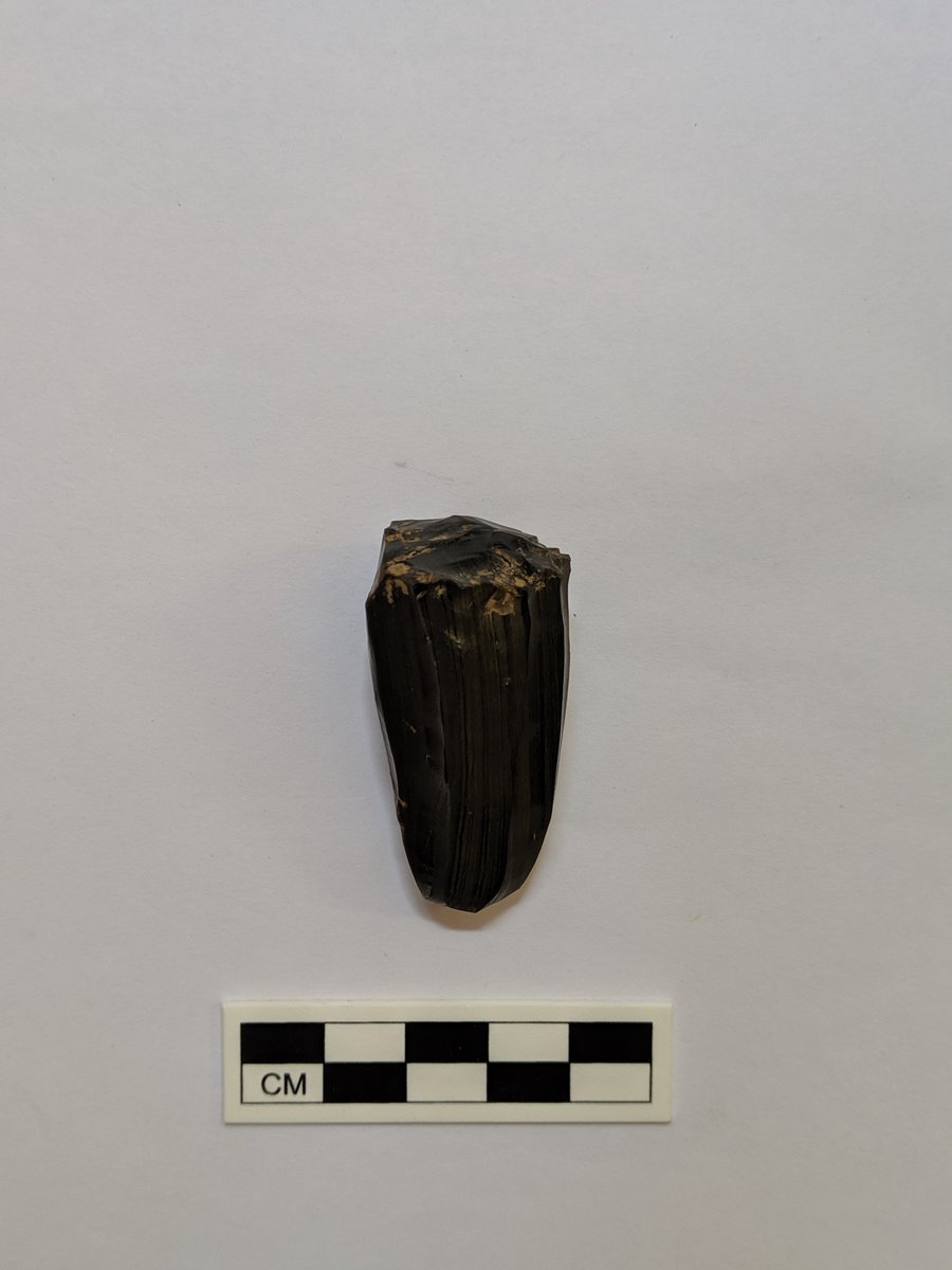
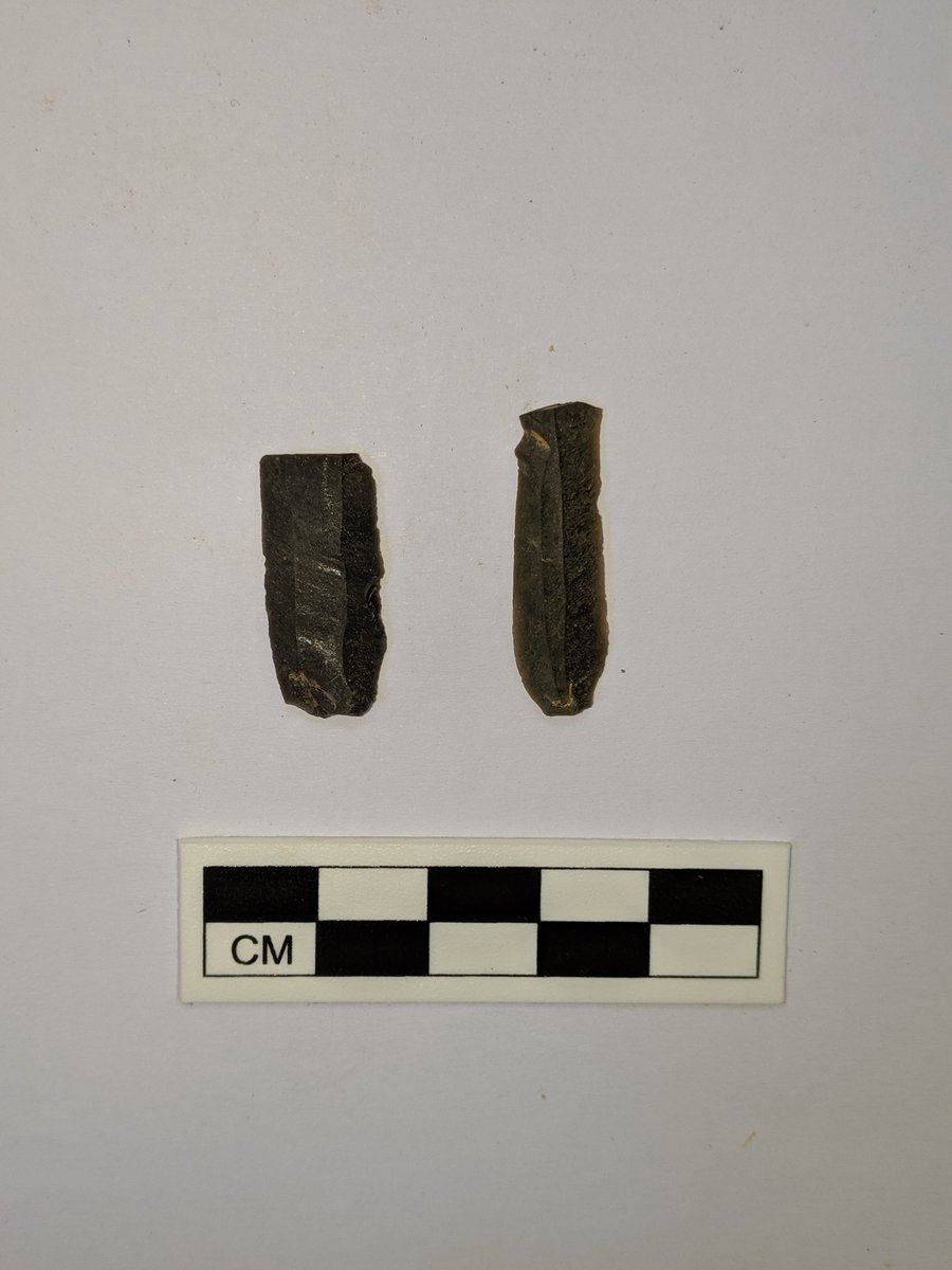
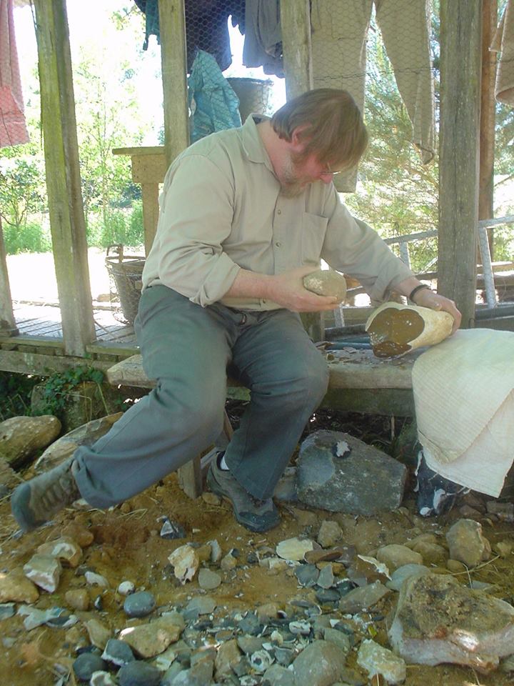
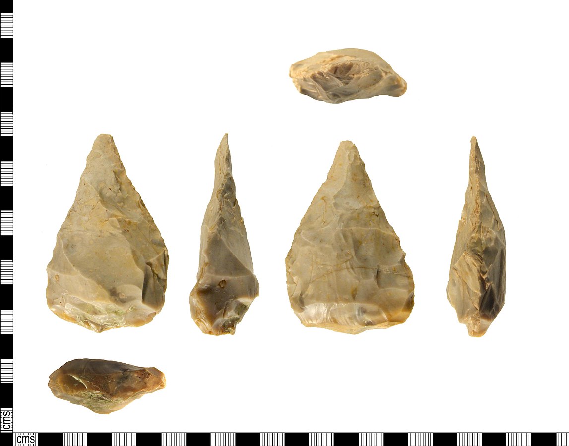
It’s worth it though b/c obsidian’s conchoidal fracturing makes it one of the best stones for making sharp, flaked stone tools
/7
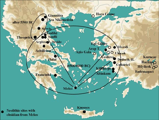
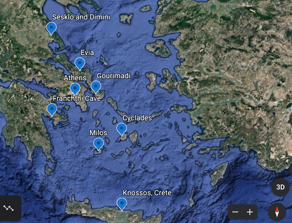
It’s possible that it came from known prehistoric sources as far away as Cyprus. Future analysis on the metallurgical finds will hopefully answer these questions
/19
The scatter of finds recovered from the survey was around four hectares (0.04km2/10 acres), but the settlement was probably smaller, given that downhill erosion likely spread these out
/20
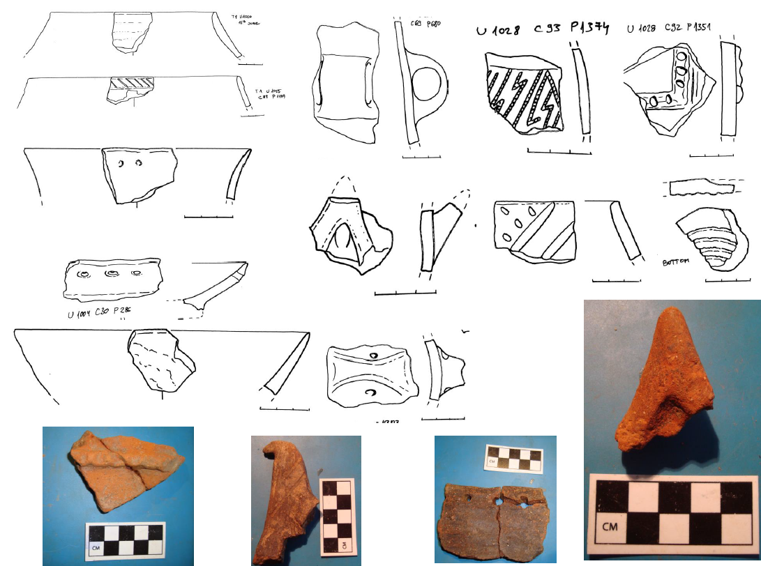
Maybe some was done by itinerant craftspeople, but that only emphasizes their connections to the larger world around
/21
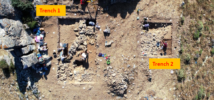
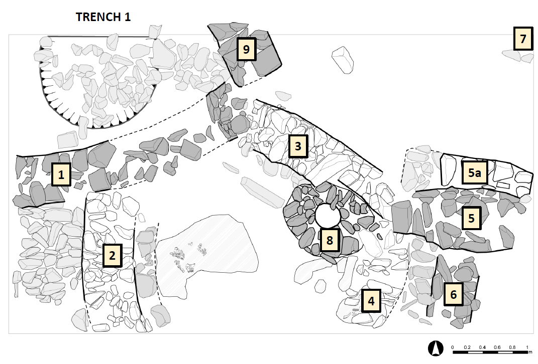
An international team of experts & students battle the intense wind. It makes it difficult to sieve dirt, fly drones, or clean for photos
My wife Joni & good friend @schwa_umlaut are trench supervisors. Everyday, they return covered in dust!
/23
Experts help them, including @DenitsaNenova, @IoannaMoutafi, & Katerina Psoma. Their new touch-screen database even helps stop papers from flying away!
/24
By using 21st century archaeological methods at Gourimadi, we get a better understanding of life at the end of the Stone Age in the Aegean
/end
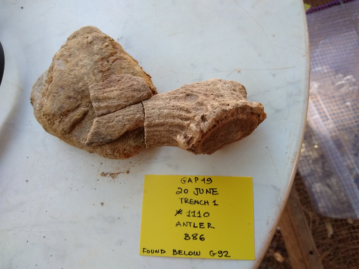
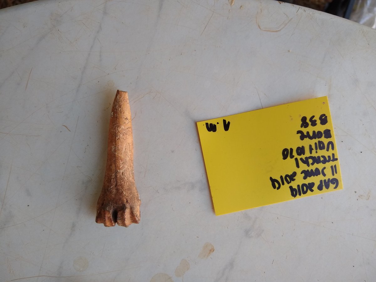
In tweet #15, there is a clear picture of a red deer antler. I found it after writing the first draft of this thread

