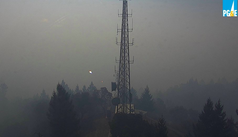
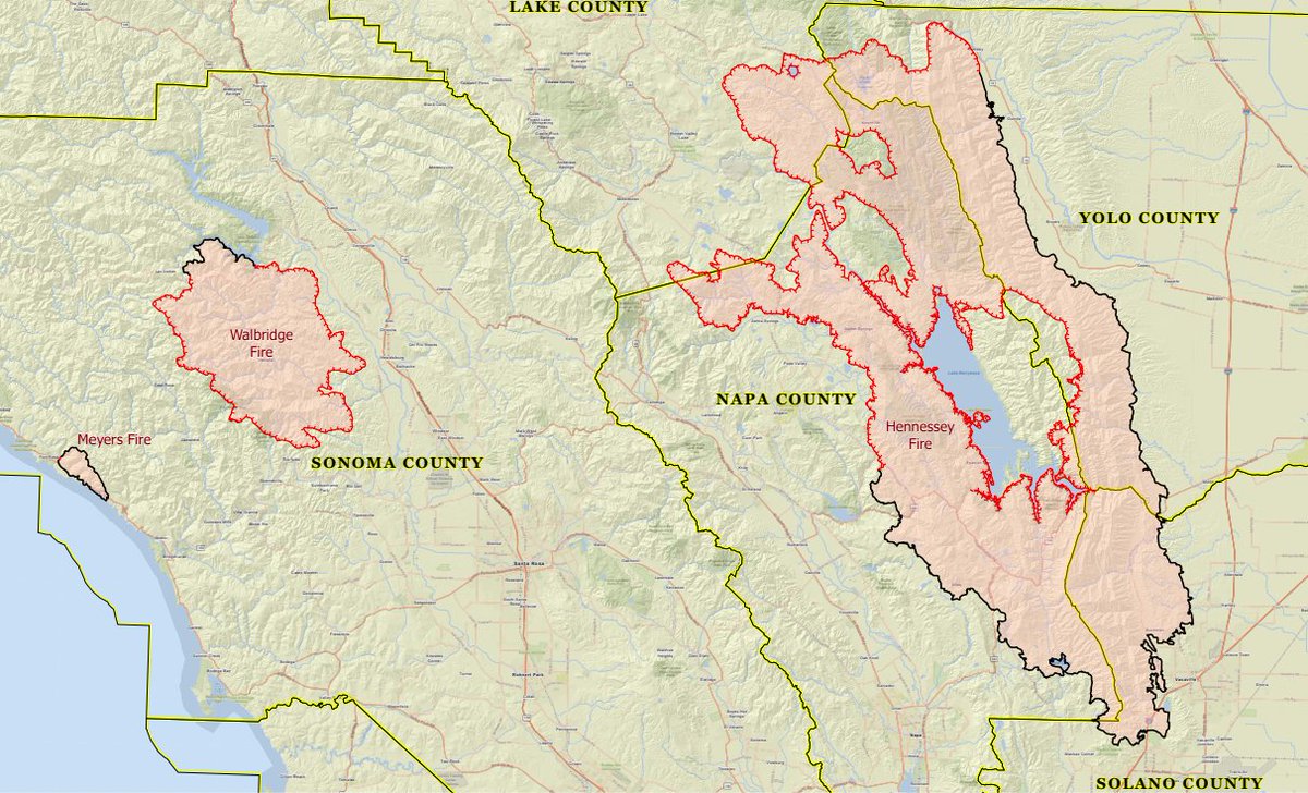
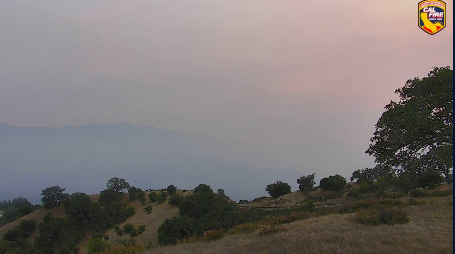
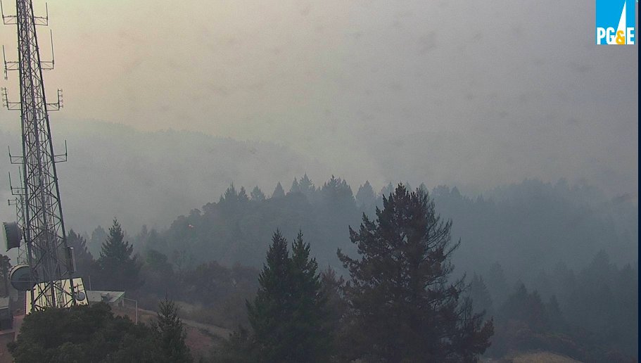
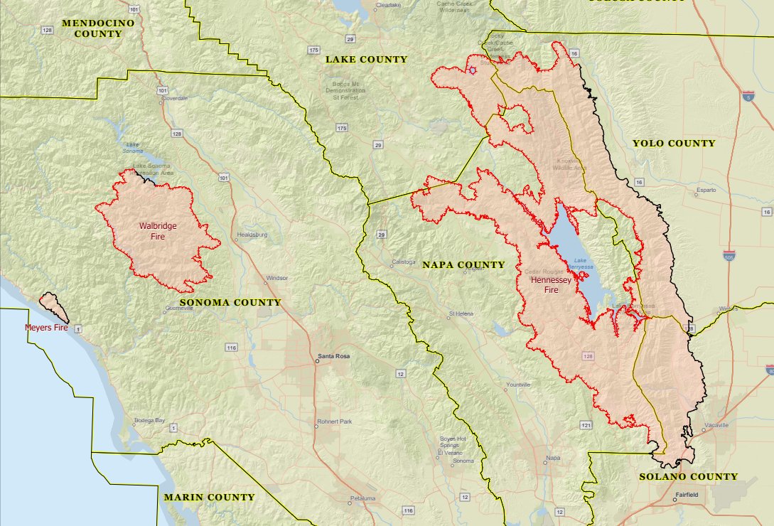
HERE IS YOUR FIRE UPDATE FOR #SONOMACOUNTY AT 9 PM. I have TWO fires to tell you about. These are all part of the #LNULightningComplex.
✅Total size of the Complex (7 fires) is 32,025 acres
✅1,900 structures are threatened
✅3 have been destroyed
1/10
This fire is burning west of #Healdsburg, north of #Guerneville and south of Dry Creek Valley. It started 8/17
✅500 acres
✅0% contained
2/10
This fire is burning north of Jenner.
✅25 acres
✅0% contained
Do not let the sizes of these fires mislead you on their ability to grow. There are also spot fires popping up throughout the region.
3/10
🔴ZONE 1D🔴
Includes 1D1, 1D2, 1D3, 1D4 & 1D5
➡️East of Sonoma Coast from Fort Ross Rd to Russian River
➡️North and East of Russian River
➡️South of Sweetwater Springs Rd & south of Fort Ross Rd
ZONE MAP nixle.s3.amazonaws.com/uploads/pub_me…
4/10
➡️East of Sewell Rd & King Ridge Rd
➡️North of Old Cazadero Rd & Austin Creek (actual creek) & East Austin Creek through recreation area
➡️West of E Austin Creek and Walbridge Ridge
➡️South of Stewarts Point Skaggs Springs Rd
ZONE MAP nixle.s3.amazonaws.com/uploads/pub_me…
5/10
➡️South of Stewarts Point Skaggs Springs Rd
➡️West of West Dry Creek Road & Westside Rd
➡️North of Sweetwater Springs Road & McCray Ridge Rd
➡️East of the E Austin Creek (actual creek)
ZONE MAP nixle.s3.amazonaws.com/uploads/pub_me…
6/10
🔴ZONE 1C2🔴
➡️West of South Fork Gualala River
➡️North of Fort Ross Rd
➡️South & East of King Ridge Rd
ZONE MAP nixle.s3.amazonaws.com/uploads/pub_me…
7/10
➡️All areas N and E of Westside Rd
➡️South of Hwy 101
➡️W of Russian River
ZONE MAP nixle.s3.amazonaws.com/uploads/pub_me…
8/10
No evacuation center or animal rescue information is available at this time.
9/10
I believe passionately in fast access to trusted information presented in an honest, easy to digest way. When disaster strikes, I do my best to present to you just that. Please consider supporting my work venmo.com/SarahStierch. Thank YOU.
10/10


