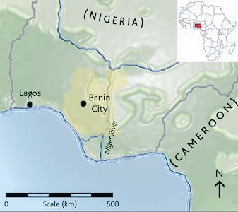
The Benin empire was one of the oldest and developed states in west Africa From the 11th Century. With its mathematical layout and earthworks longer than the Great Wall of China, Benin was one of the best planned cities in the world Before London People stole/destroyed the City. 

The Guinness Book of Records (1974 edition) described the walls of Benin City and its surrounding kingdom as the world’s largest earthworks carried out prior to the mechanical era.
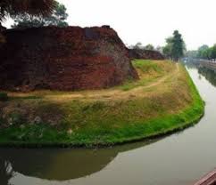
According to estimates by the New Scientist’s Fred Pearce, Benin City’s walls were at one point “four times longer than the Great Wall of China, and consumed a hundred times more material than the Great Pyramid of Cheops”.
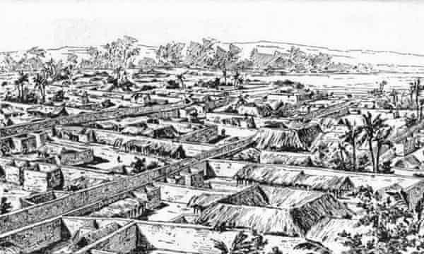
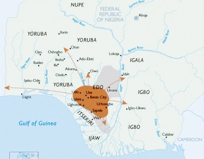
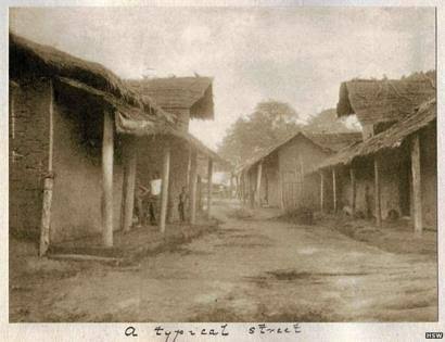
Situated on a plain, Benin City was enclosed by massive walls in the south and deep ditches in the north. Beyond the city walls, numerous further walls were erected that separated the surroundings of the capital into around 500 distinct villages.
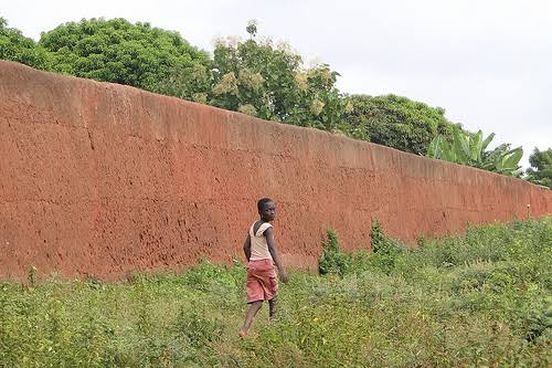
Pearce writes that these walls “extended for some 16,000 km in all, in a mosaic of more than 500 interconnected settlement boundaries. They covered 6,500 sq km and were all dug by the Edo people.
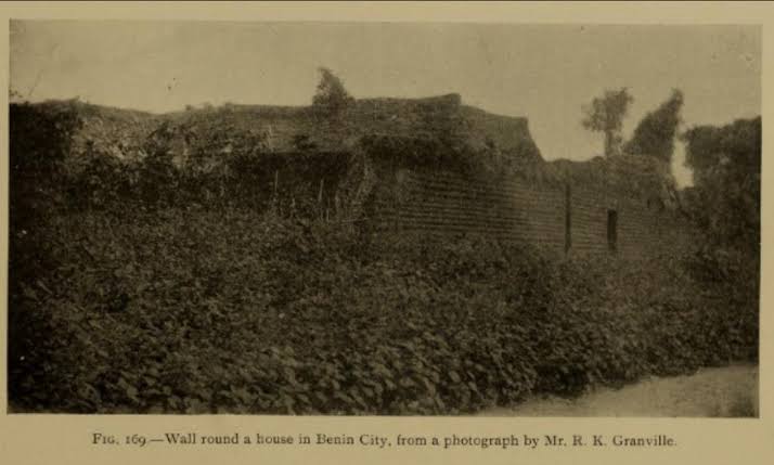
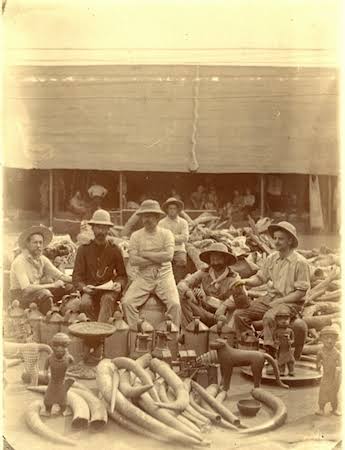
They took an estimated 150 million hours of digging to construct, and are perhaps the largest single archaeological phenomenon on the planet”. Barely any trace of these walls exist today as it was plundered to the ground by the British who stole several artifacts.
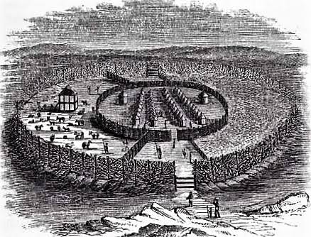
Benin City was also one of the first cities to have a semblance of street lighting. Huge metal lamps, many feet high, were built and placed around the city, especially near the king’s palace.
Fuelled by palm oil, their burning wicks were lit at night to provide illumination for traffic to and from the palace.
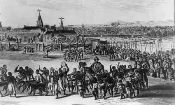
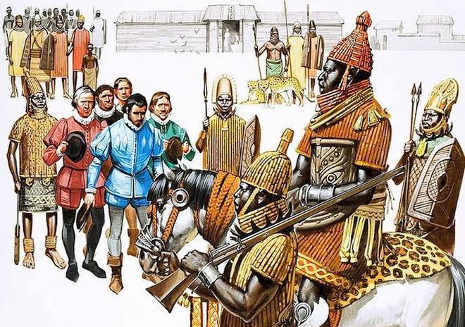
When the Portuguese first “discovered” the city in 1485, they were stunned to find this vast kingdom made of hundreds of interlocked cities and villages in the middle of the African jungle.
They called it the “Great City of Benin”.
They called it the “Great City of Benin”.
Indeed, they classified Benin City as one of the most beautiful and best planned cities in the world. Benin City’s planning and design was done according to careful rules of symmetry, proportionality and repetition now known as fractal design "The mathematician Ron Eglash" notes


He examines the patterns underpinning architecture, art and design in many parts of Africa – notes that the city and its surrounding villages were purposely laid out to form perfect fractals, with similar shapes repeated in the rooms of each house, and the house itself...
and the clusters of houses in the village in mathematically predictable patterns. As he puts it: “When Europeans first came to Africa,they considered the architecture very disorganised and thus primitive.....
It never occurred to them that the Africans might have been using a form of mathematics that they hadn’t even yet discovered.”
Follow .@Africa_Archives for more Africa Archives and History